Kenai (RM 8.6) River
Site and River
Site & River
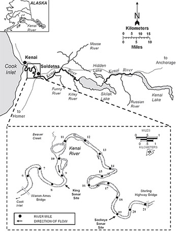
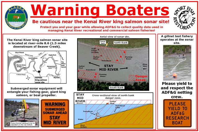
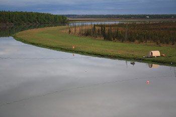
The Kenai River king salmon sonar site is located 8.6 miles upstream of the mouth of the river between the Warren Ames Bridge and Beaver Creek. The site's camp—a large hoop tent where we collect sonar data on six network computers—is located along the river's north bank. From a boat in the river the site's tent, data cables and buoys marking submerged sonar equipment are highly visible.
The river
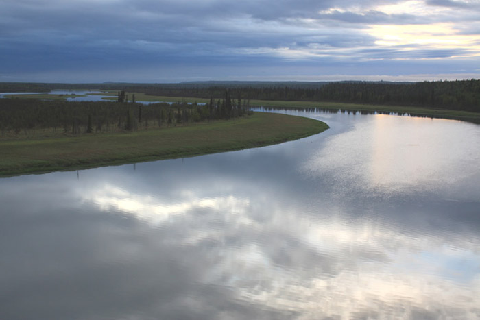
The Kenai River flows 82 miles from Kenai Lake, through Skilak Lake and into Cook Inlet. Strong tides in Cook Inlet create large, daily water level fluctuations along the lower Kenai River including at the king salmon sonar site. From low tide to high tide, river width at the site can swell from 200 to 330 feet and strong outgoing tides can tug transducers out of place. Also, high tides create slack water encouraging salmon to adopt swimming behaviors that make accurate counting with sonar difficult.
Why ADF&G chose this location
ADF&G located the king salmon sonar site at River Mile 8.6 because it is below king salmon spawning grounds, close to the mouth of the river and because the even riverbed profile there allows us to extend our sonar detection range to include the middle of the river. Locating the site below spawning grounds ensures all king salmon will pass the sonar site before they stop to spawn. Locating the site close to the mouth of the river allows fisheries biologists to detect fish early in the run to produce timely data. Options for locating the sonar site where biologists can collect useful Kenai king salmon data are very limited. But if a viable alternative can be found ADF&G may consider moving the site upstream of tidal fluctuations.