Fisheries Research Maps
-
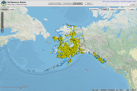 Interactive map of locations where fish species have been collected or observed combined with base maps, communities, roads, streams.
 -
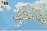 Chinook salmon research initiative interactive map of Chinook salmon indicator stocks and individual indicator stock drainage maps.
 -
Interactive map of sites where culvert surveys have been performed combined with USGS base maps, roads, communities, streams.
-
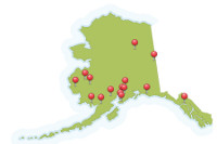 View ADF&G 15 sonar sites located on 13 rivers throughout Alaska. Sonar technology helps managers gauge inseason run strength.
 -
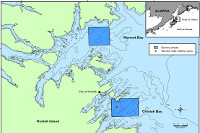
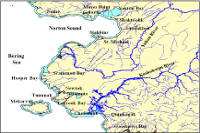 View commercial fishing districts maps where chum and sockeye salmon were sampled in the harvest for the stock identification program.
 -
 Western Tanner crab habitat study area map of research to map Tanner crab habitat to improve stock assessment methods.