Areas With Restrictions
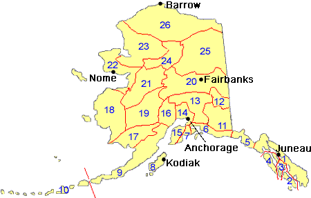
Search By Game Management
Unit (GMU)
Note: Use of these maps indicates that you have read and understand the liability statement.
Select a Game Management Unit.
Game Management Unit
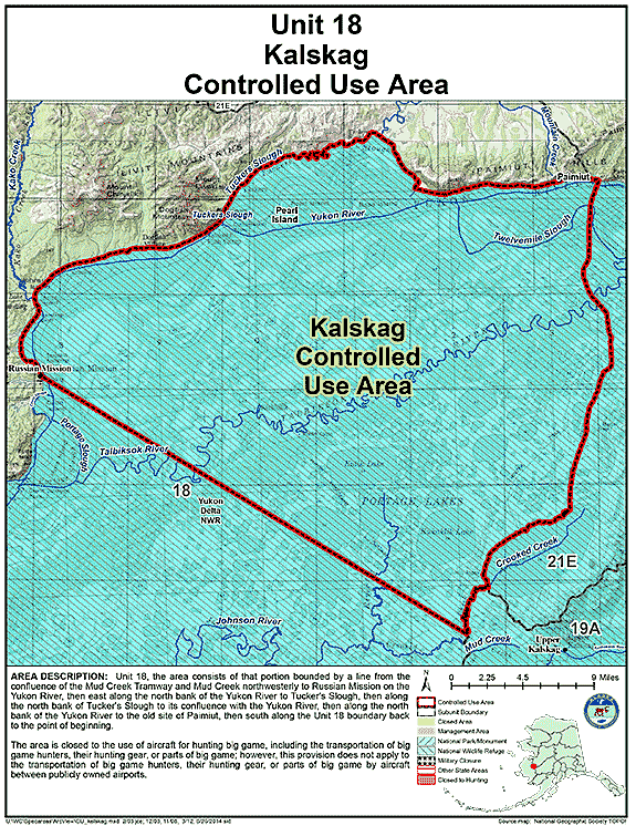
Results for Game Management Unit 18
The following restrictions are those specific to GMU 18. Be sure to check the hunting regulations for additional state-wide hunting and trapping restrictions.
Controlled Use Areas
Kalskag Controlled Use Area
- Restriction: Closed to the use of aircraft for hunting big game, including the transportation of big game hunters, their hunting gear, or parts of big game; however, this provision does not apply to the transportation of big game hunters, their hunting gear, or parts of big game by aircraft between publicly owned airports
- View Map: GIF Map (130 K) PDF Map (475 K)
- Area Description: The Kalskag Controlled Use Area: the area consists of that portion of Unit 18 bounded by a line from the confluence of the Mud Creek Tramway and Mud Creek, northwesterly to Russian Mission on the Yukon River, then east along the north bank of the Yukon River to Tucker's Slough, then along the north bank of Tucker's Slough to its confluence with the Yukon River, then along the north bank of the Yukon River to the old site of Paimiut, then south along the Unit 18 boundary back to the point of beginning (eff 07/14)
Note: Changes to area restrictions for hunting and trapping by Emergency Orders may not be shown on this page. Please be sure to check the Emergency Orders page for the most current list of changes.