
Lake Louise Weir
Kodiak Management Area
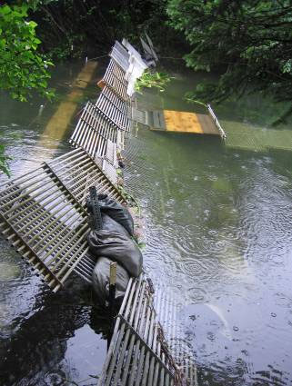
The Lake Louise weir is 9 m (30’) long and is located approximately 0.8 km (0.5 mi.) above the confluence of the Buskin River and the tributary creek draining Lake Louise. A weir was used in this location in the 1970s and 1980s to estimate out migrating juvenile salmon abundance, and a Dolly Varden mark-recapture study in 1992. Since 2002, the Lake Louise weir has been operated from approximately June 1 through September 15 by two SFD employees who are also responsible for the operation and maintenance of the Buskin River weir.