Kodiak Island Area
Subsistence Fishing
Access
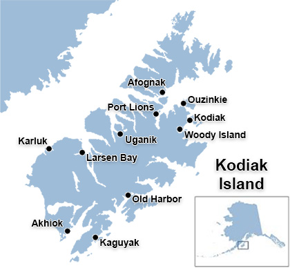 The Kodiak Island Borough encompasses a large area and only a few communities are accessible via the island's road system. The areas used by Kodiak Island communities for subsistence fishing include the freshwater streams within the 1.9 million acre Kodiak National Wildlife Refuge (KNWR), which encompasses the southwestern two-thirds of Kodiak Island. The refuge also includes Uganik Island, the Red Peaks area on the northwest side of Afognak Islands, and all of Ban Island. Most subsistence fishing locations are accessible by boat or plane from the various communities on the island.