Maps & GIS
Overview
 These pages provide a central location for finding maps, GIS data, and mobile web applications currently available throughout the ADF&G website. Some new resources include interactive mapping applications that allow you to create a custom hunt map to print or use on a mobile device. Geographic Information Systems (GIS) data are also available for download.
Feature Map
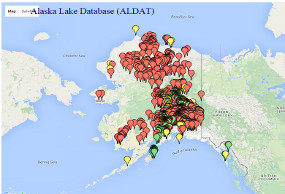
Alaska Lakes Database
Contact GIS Staff
Have questions on maps or GIS data? Contact our ADF&G GIS Staff: Wildlife Conservation, Commercial Fisheries or Sport Fish.

