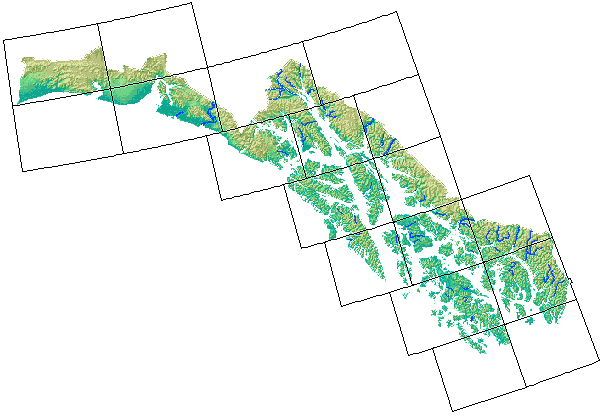
Select Regulatory Map

PRINCE RUPERT - 4 sub-maps DIXON ENTRANCE - 6 sub-maps CRAIG - 25 sub-maps KETCHIKAN - 26 sub-maps BRADFIELD CANAL - 13 sub-maps PETERSBURG - 23 sub-maps PORT ALEXANDER - 14 sub-maps SITKA - 31 sub-maps SUMDUM - 13 sub-maps TAKU RIVER - 6 sub-maps JUNEAU - 28 sub-maps MT FAIRWEATHER - 12 sub-maps ATLIN - 0 sub-maps SKAGWAY - 19 sub-maps YAKUTAT - 24 sub-maps ICY BAY - 6 sub-maps BERING GLACIER - 12 sub-maps MC CARTHY - 0 sub-maps

Southeast Region maps

Get the reference index of all Anadromous Water Atlas (1:63,360 scale maps) for the Southeast region with quad names (114 Kb PDF)

You can ‘mouse-over’ the quads in the image below to show the quad names. Clicking on a quad will select the 1:250,000 scale index map PDF for downloading. Use the drop-down menu above to select the 1:63,360-scale and other maps.