Fish Inventory Site FSH0230B46
Coordinates (dec. deg.): 60.52666°, -151.09071°
Legal Description: S005N010W18
Region: South Central
Datum: NAD83
Quad Name / ITM: Kenai C-3
AWC Stream #:
Stream Name: Unnamed
Elevation: 12 m
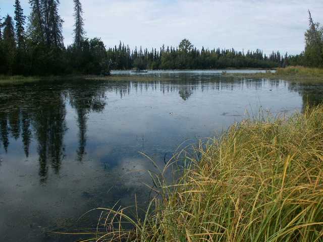
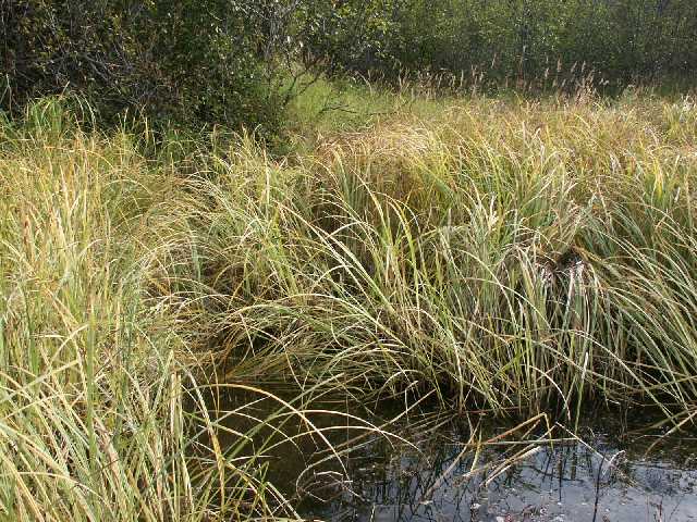
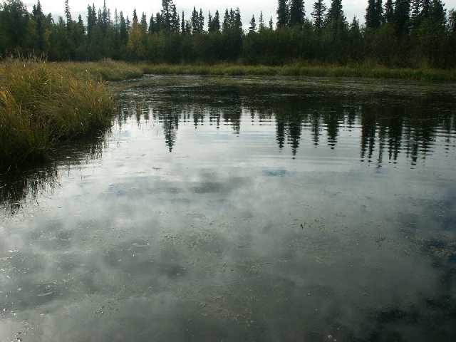
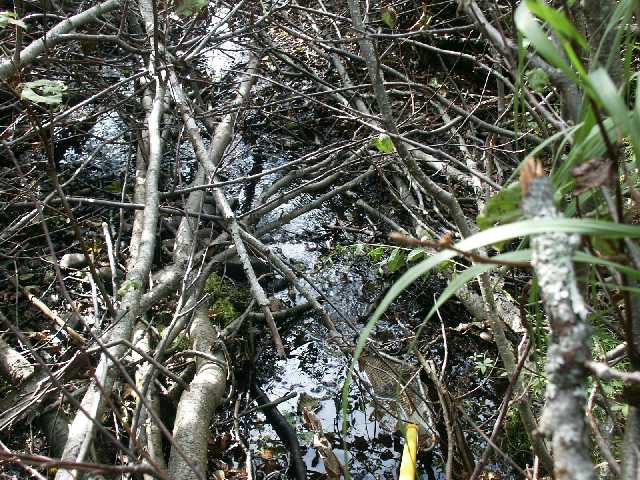
Site Comments: Unnamed right bank tributary to Kenai River. Honeymoon Cove at downstream terminus of reach. Open wet graminoid meadow at upstream terminus of reach.
Survey FSH02-30B46
Project Supervisor: Cecil Rich, Alaska Department of Fish and Game
— Anchorage, AK
Observers: Joe Buckwalter, Sharon Delsack
Station Characteristics
| Water Temperature: | Conductivity: | Stream Stage: Medium | |||||||||
| Water Color: Clear | Turbidity: | Stream Gradient: 0.5% | |||||||||
| Qualitative Velocity: Medium | 48 hr. Precipitation/Runoff: Moderate | ||||||||||
| Substrates: Organic, Sand | |||||||||||
Channel Dimensions:
|
Rosgen Channel Classification: (E5) Low gradient, meandering riffle/pool stream with low width/depth ratio and little deposition. Very efficient and stable. High meander width ratio. | ||||||||||
| Visit Comments: Pink salmon carcasses (visual observation) and 2 juvenile sockeye, 60 and 62 mm (PEF) in Honeymoon Cove (Kenai R.) near mouth of on-site stream. | |||||||||||
Vegetation Classification
| Left Bank | Right Bank | ||
|---|---|---|---|
| Distance From OHW(m) |
0-5 | Closed Tall Alder Shrub | |
| 5-10 | |||
| 10-20 | |||
| 20-30 | |||
Fish Sampling Effort
| Gear Type: Minnow Trap, 1/4 in. Mesh (A) | Trap Duration(h): 1 | |
| Channel Type: | ||
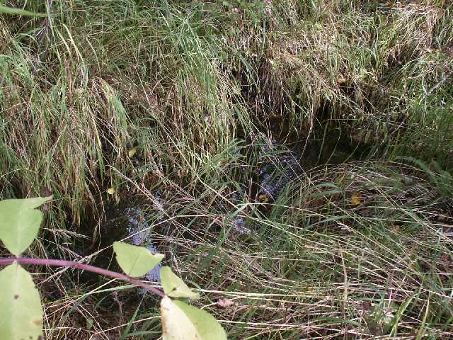
| Comments: Suspect ELF (ephemerally-fixed, low flow) barrier precludes fish access to on-site stream. | ||
| Gear Type: Backpack Electrofisher (B) | ||
| EF Time(s): 145 | Efficiency: | |
| Channel Type: | ||
| Comments: Suspect ELF (ephemerally-fixed, low flow) barrier precludes fish access to on-site stream. | ||
Fish Observations
No fish were collected at this site.
Photos
Questions or comments about this report can be directed to dfg.dsf.webmaster@alaska.gov
