Fish Inventory Site FSH0227B30
Coordinates (dec. deg.): 61.31876°, -149.93475°
Legal Description: S014N004W11
Region: South Central
Datum: NAD83
Quad Name / ITM: Anchorage B-8
AWC Stream #:
Stream Name: Mule Creek
Elevation: 19 m
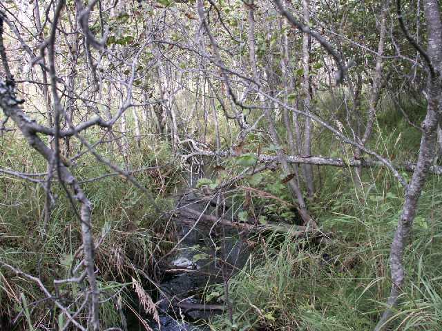
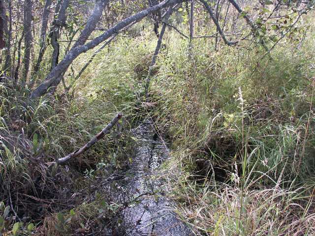
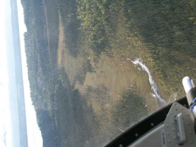
Site Comments: Mule Creek about .75 miles above mouth.
Survey FSH02-27B30
Project Supervisor: Cecil Rich, Alaska Department of Fish and Game
— Anchorage, AK
Observers: Cecil Rich, Sharon Delsack, Joe Buckwalter
Station Characteristics
| Water Temperature: 10.6° C | Conductivity: 60.0 μS/cm | Stream Stage: High | |||||||||
| Water Color: Clear | Turbidity: | Stream Gradient: 0.0% | |||||||||
| Qualitative Velocity: Slow | 48 hr. Precipitation/Runoff: None/Trace | ||||||||||
| Substrates: Silt/Clay, Sand | |||||||||||
Channel Dimensions:
|
Rosgen Channel Classification: (E6) Low gradient, meandering riffle/pool stream with low width/depth ratio and little deposition. Very efficient and stable. High meander width ratio. | ||||||||||
| Visit Comments: None | |||||||||||
Vegetation Classification
| Left Bank | Right Bank | ||
|---|---|---|---|
| Distance From OHW(m) |
0-5 | Closed Tall Alder Shrub | Closed Tall Alder Shrub |
| 5-10 | |||
| 10-20 | |||
| 20-30 | |||
Fish Sampling Effort
| Gear Type: Backpack Electrofisher (A) | ||
| EF Time(s): 324 | Efficiency: | |
| Channel Type: Main Channel (>50% of water flow) | ||
Fish Observations
| Species: juvenile coho salmon | Life History: Anadromous | ||
| Total Fish Observed: 10 | Fish Measured: 5 | Passage Barrier: | |
| Fork Lengths (mm) Min: 62 Max: 90 Mean: 71 | |||
| Collected/Observed by Gear Type: Backpack Electrofisher (10) | |||
Photos
Questions or comments about this report can be directed to dfg.dsf.webmaster@alaska.gov
