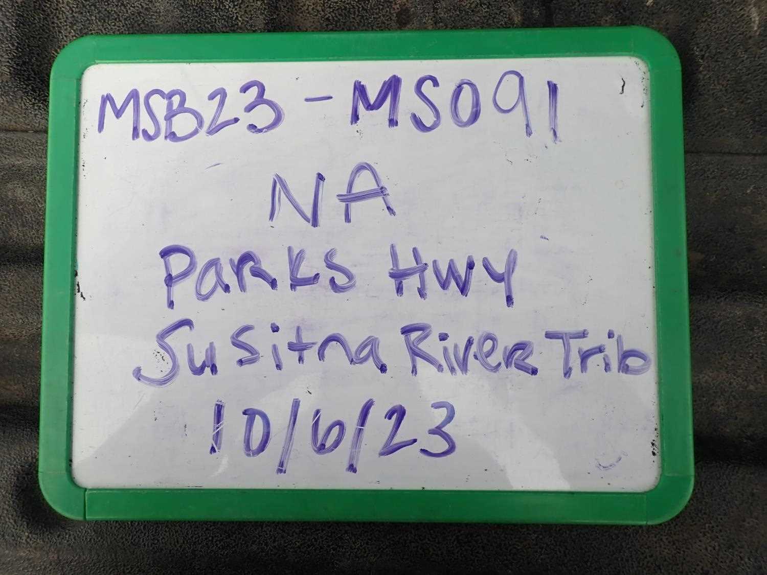
Fish Passage Site 20504063
Coordinates (dec. deg.): 62.04491°, -150.06035°
Legal Description: S023N004W32
Region: South Central
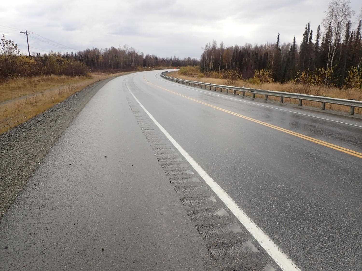
Road Name: Parks Hwy
Datum:
Quad Name / ITM: Talkeetna A-1
AWC Stream #:
Stream Name: Susitna River Tributary
Elevation:
Site Comments: None
Survey MSB23-MS091
Project Supervisor: Michael Mazzacavallo, Alaska Department of Fish and Game
— Anchorage, AK
Observers: Michael Mazzacavallo, Beth Evers, Kat Leavitt
Overall Fish Passage Rating:
Tidal: No
Backwatered: No
Step Pools: No
Construction Year:
Site Observations:
- Culvert gradient gray
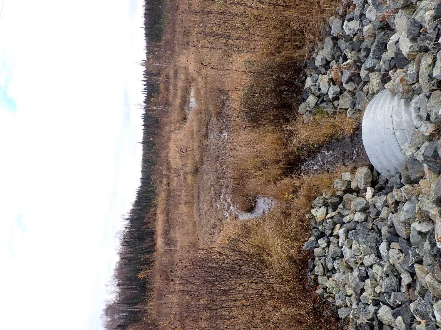
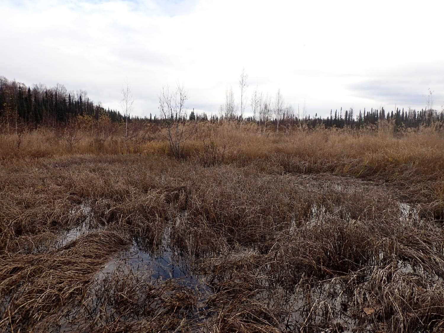
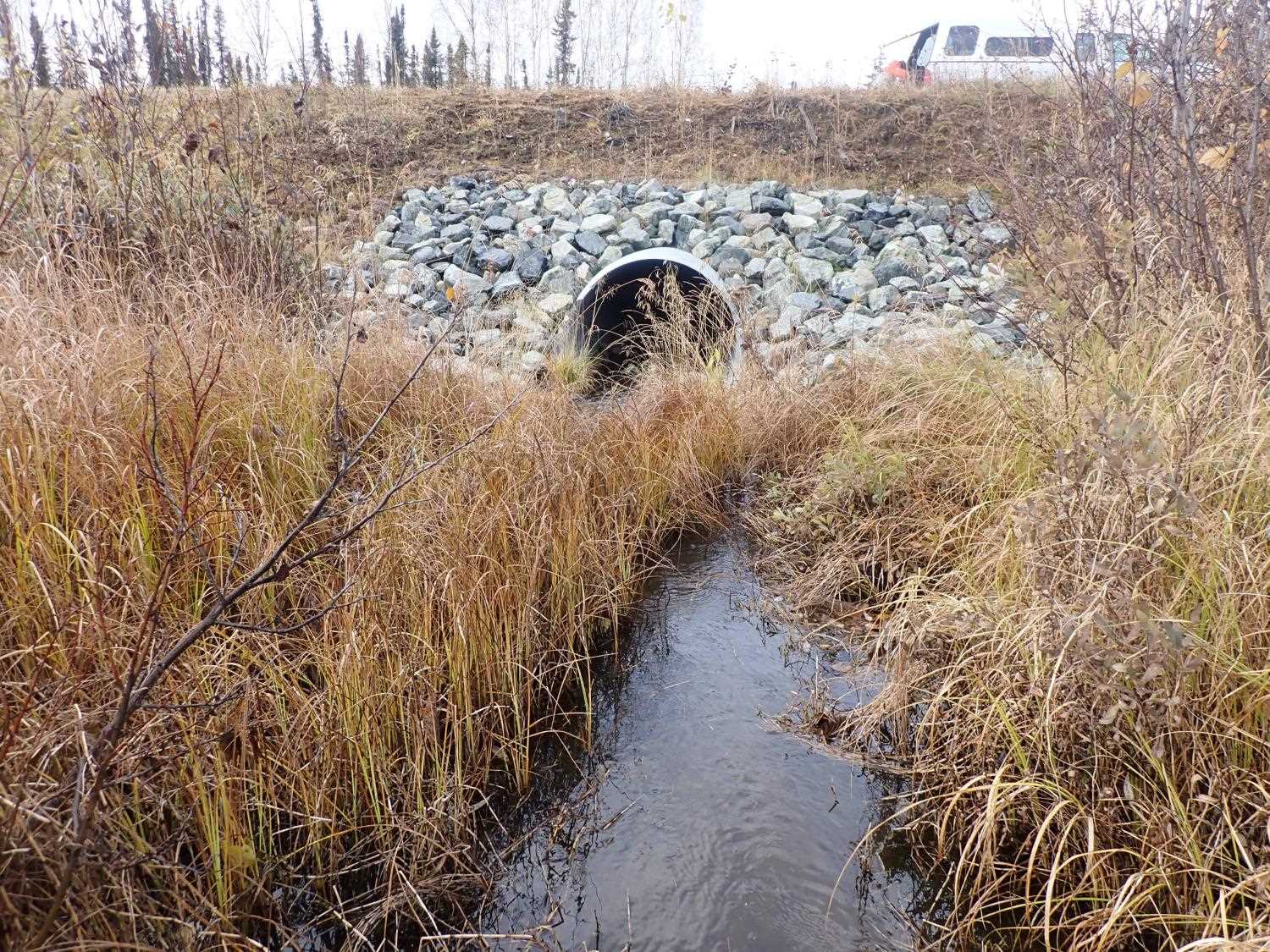
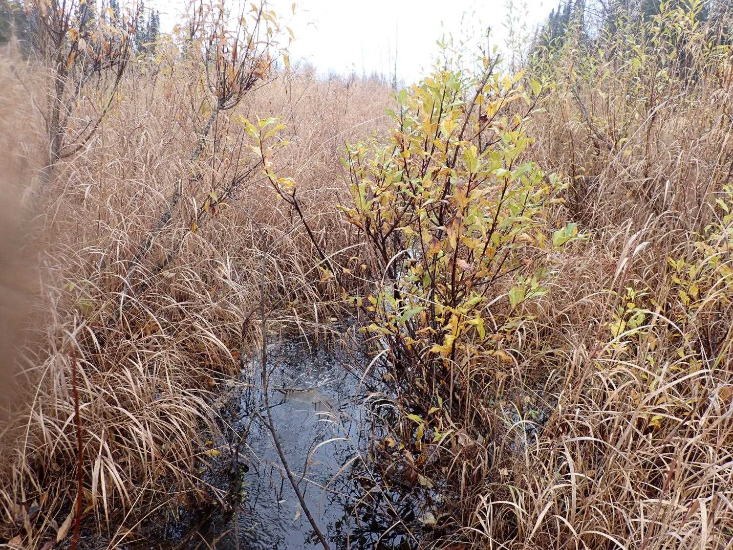
Comments: Stream rip rap built upstream and downstream culvert connecting, two wetland areas.
Culvert Measurements
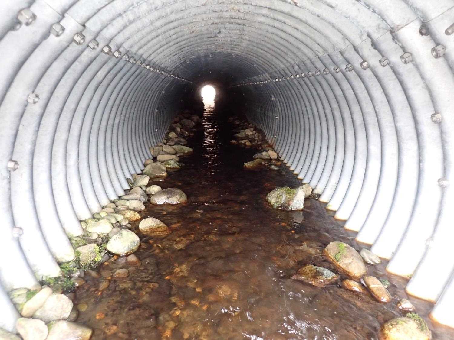
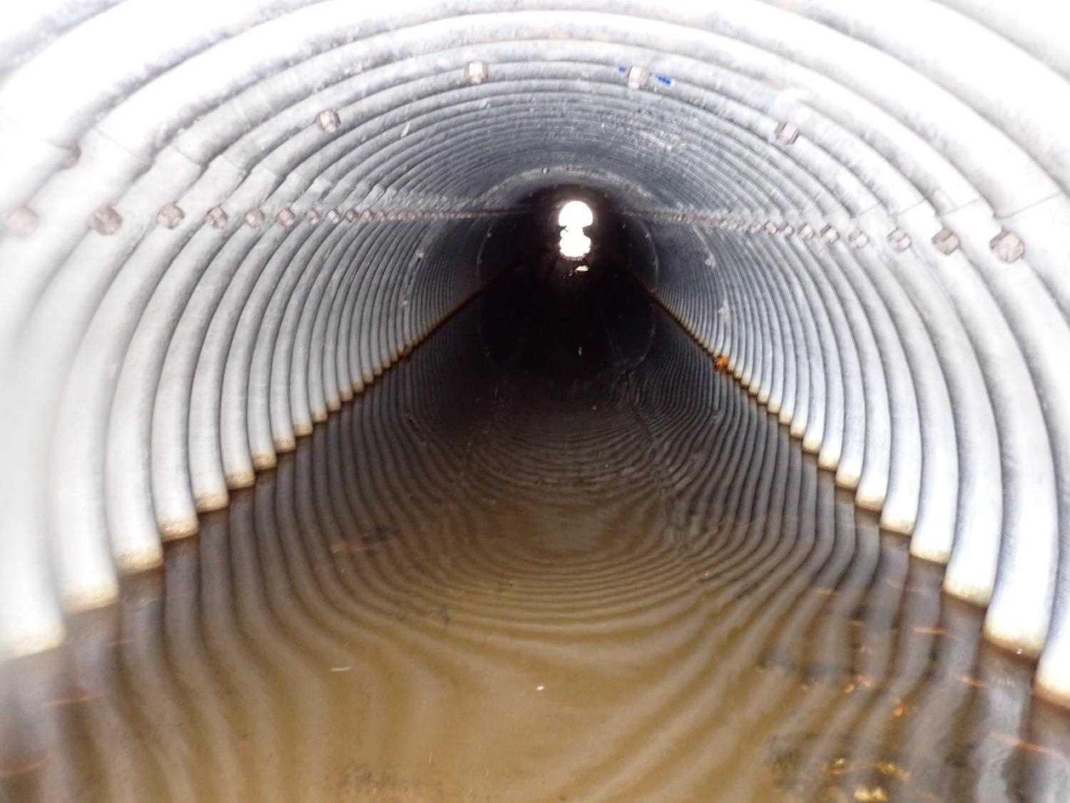
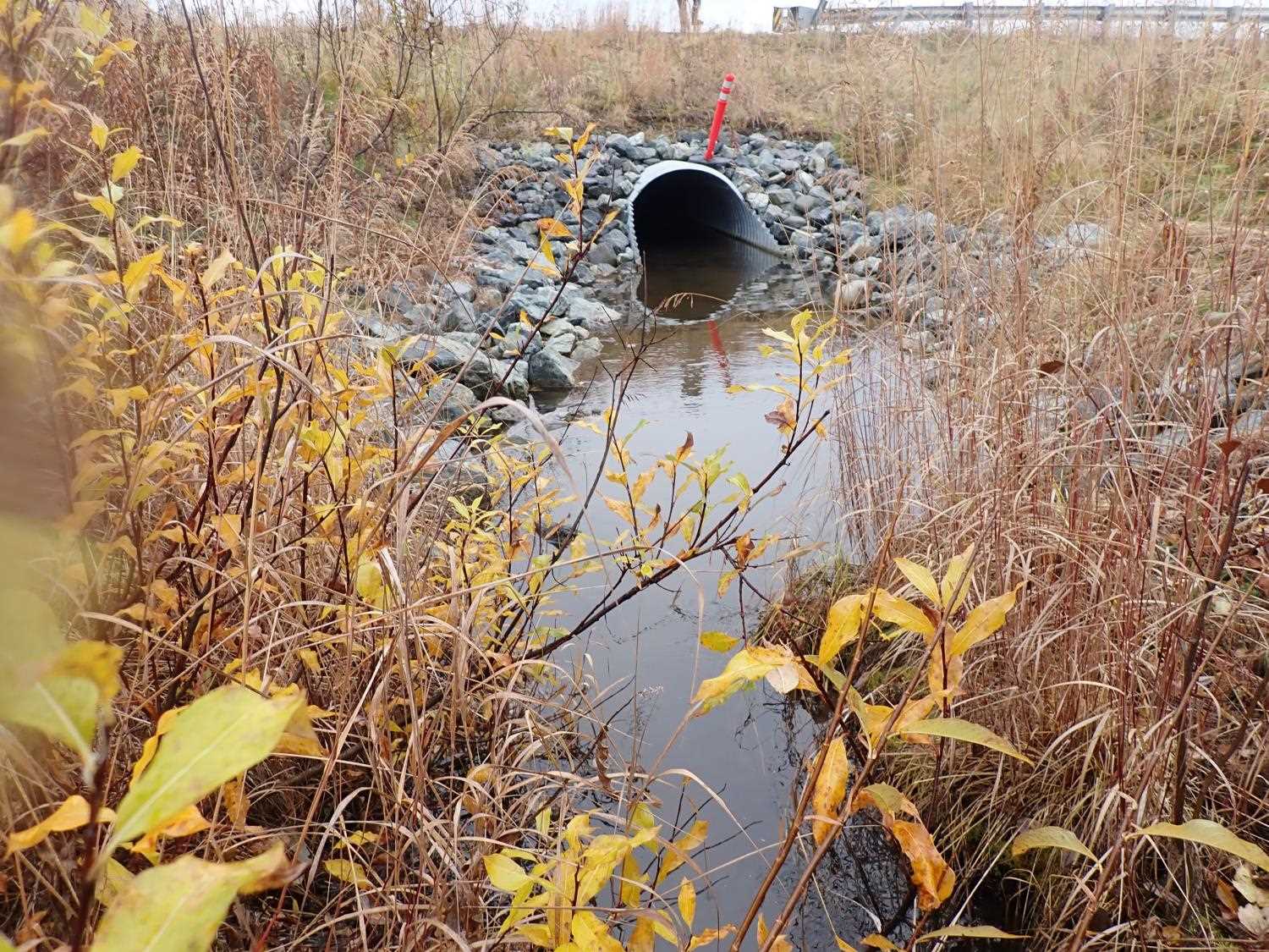
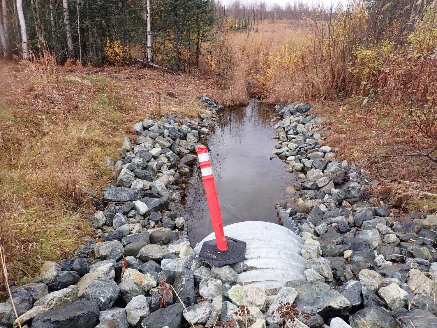
| ID: 1 | Structure Type: Pipe-arch (Structural steel plate) | Fish Passage Rating: | ||||||||||||||||||||||||||||||||||||||||||
|
|
|
||||||||||||||||||||||||||||||||||||||||||
Comments: Mittered length: inlet 4.20ft, outlet 7.20ft. |
||||||||||||||||||||||||||||||||||||||||||||
Culvert Observations:
|
||||||||||||||||||||||||||||||||||||||||||||
Stream Measurements
|
|
No stream width data available.
Elevations
| Locator ID | Culvert Number |
River Distance (ft)1 |
Distance From Crossing (ft)2 |
Relative Elevation (ft) |
|---|---|---|---|---|
| U/S Thalweg | 10.00 | 88.42 | ||
| D/S Water Surface Elev | 10.00 | 88.74 | ||
| D/S Water Surface Elev (Pond water surface) | 20.00 | 89.38 | ||
| Inlet Culvert Invert | 20.00 | 87.91 | ||
| U/S Water Surface Elev (Culvert water surface) | 20.00 | 88.16 | ||
| Inlet Culvert Top | 20.00 | 91.78 | ||
| D/S Water Surface Elev | 157.70 | 87.55 | ||
| Outlet Culvert Top | 157.70 | 90.63 | ||
| Outlet Invert | 157.70 | 86.54 | ||
| D/S Thalweg | 177.70 | 86.94 | ||
| D/S Water Surface Elev | 177.70 | 87.54 | ||
| D/S Thalweg | 187.70 | 86.13 | ||
| D/S Water Surface Elev | 187.70 | 87.48 |
Notes:
- River distance is measured continuously throughout the survey reach along the thalweg of the stream.
- Measured from each end of the crossing along the thalweg of the stream.
Fish Sampling Efforts
No fish sampling occurred during this survey.
Fish Observations
No fish observations occurred during this survey.
Photos
Questions or comments about this report can be directed to dfg.dsf.webmaster@alaska.gov