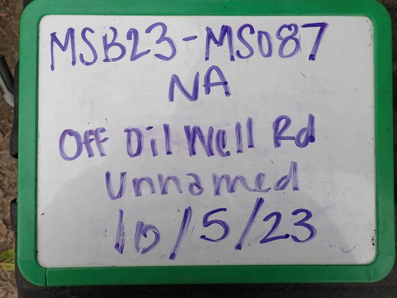
Fish Passage Site 20504062
Coordinates (dec. deg.): 62.08750°, -150.55610°
Legal Description: S023N007W16
Region: South Central
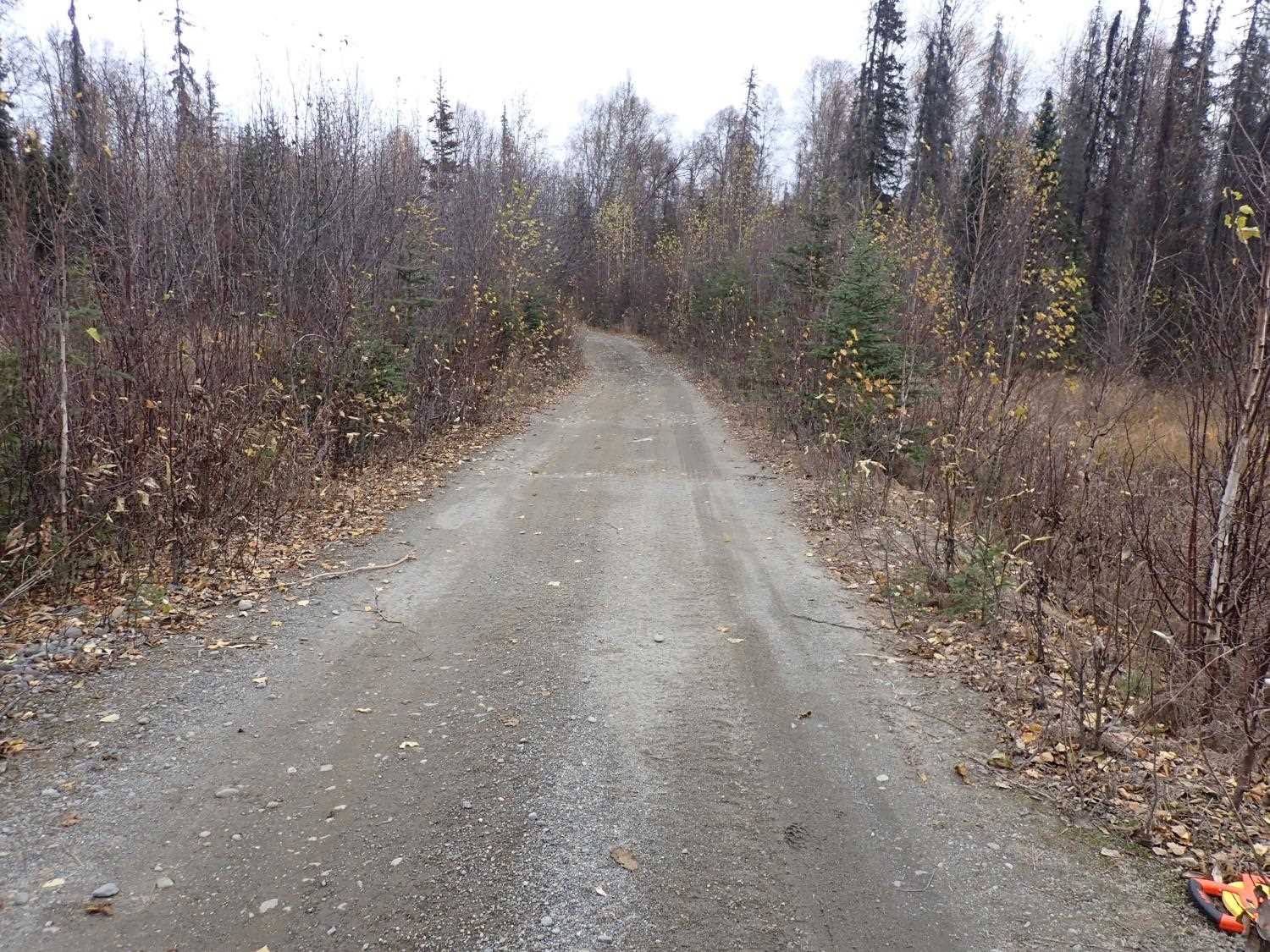
Road Name: Oil Well Road
Datum: WGS84
Quad Name / ITM: Talkeetna A-2
AWC Stream #: 247-41-10200-2081-3123-4015
Stream Name: Unnamed
Elevation:
Site Comments: None
Survey MSB23-MS087
Project Supervisor: Michael Mazzacavallo, Alaska Department of Fish and Game
— Anchorage, AK
Observers: Michael Mazzacavallo, Kat Leavitt, Beth Evers
Overall Fish Passage Rating:
Tidal: No
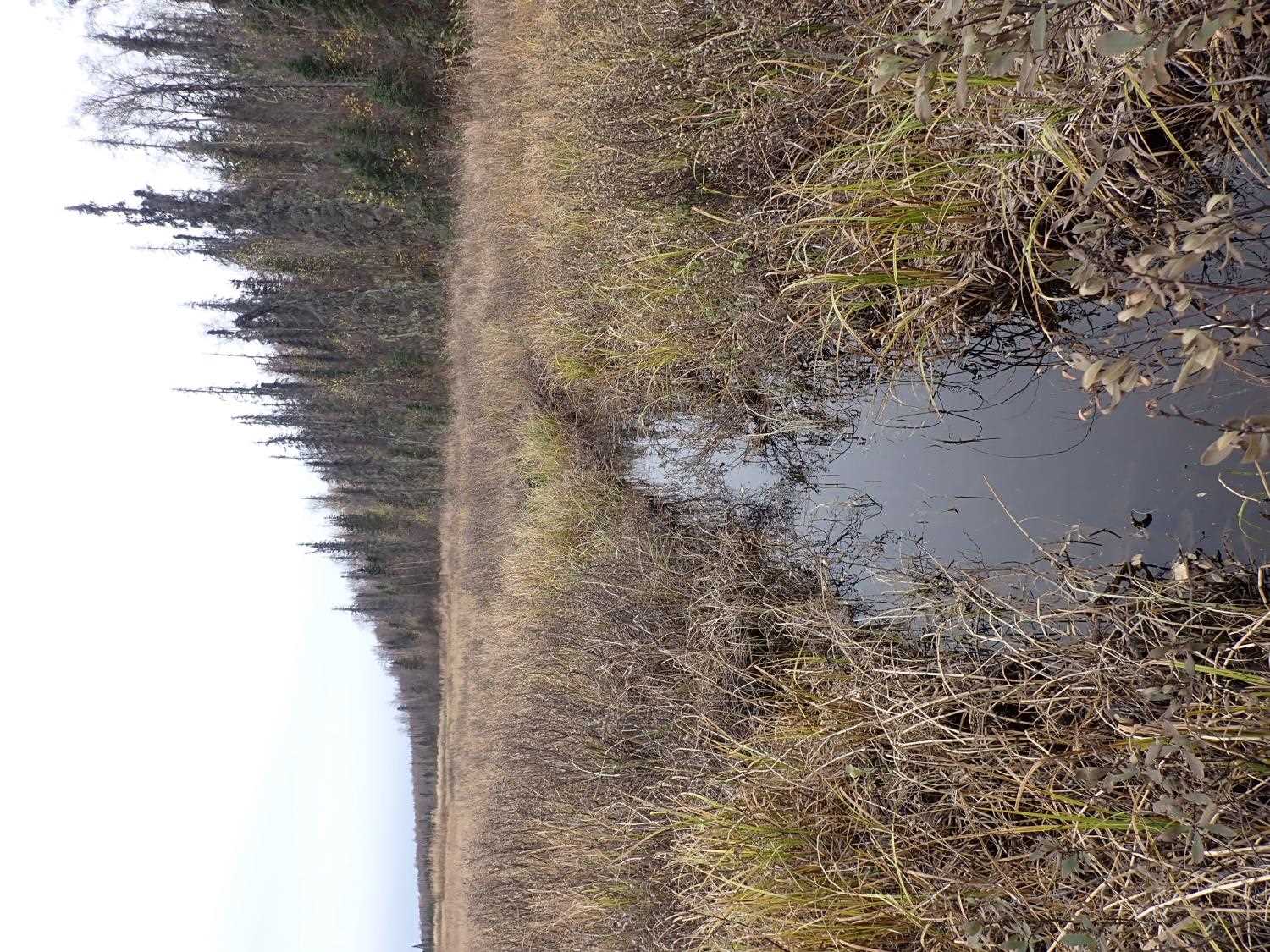
Backwatered: Yes
Step Pools: No
Construction Year:
Site Observations:
- None of this type
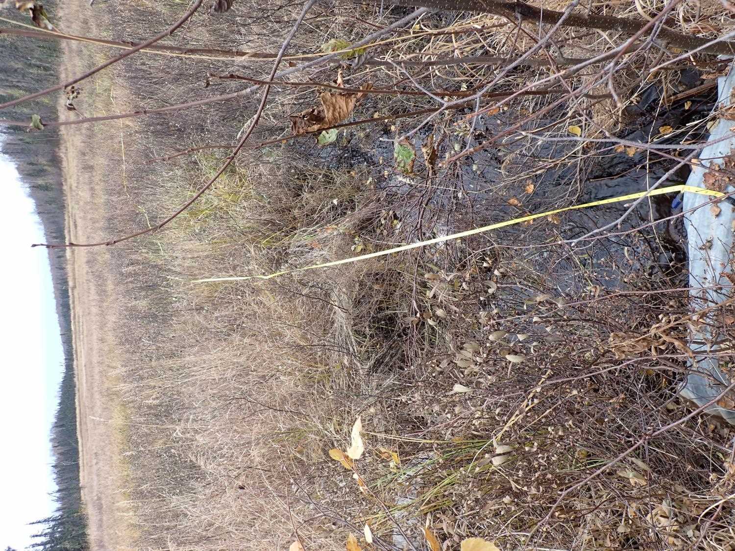
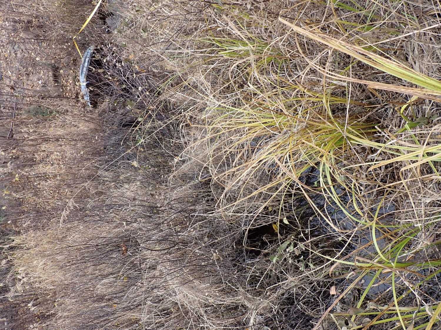
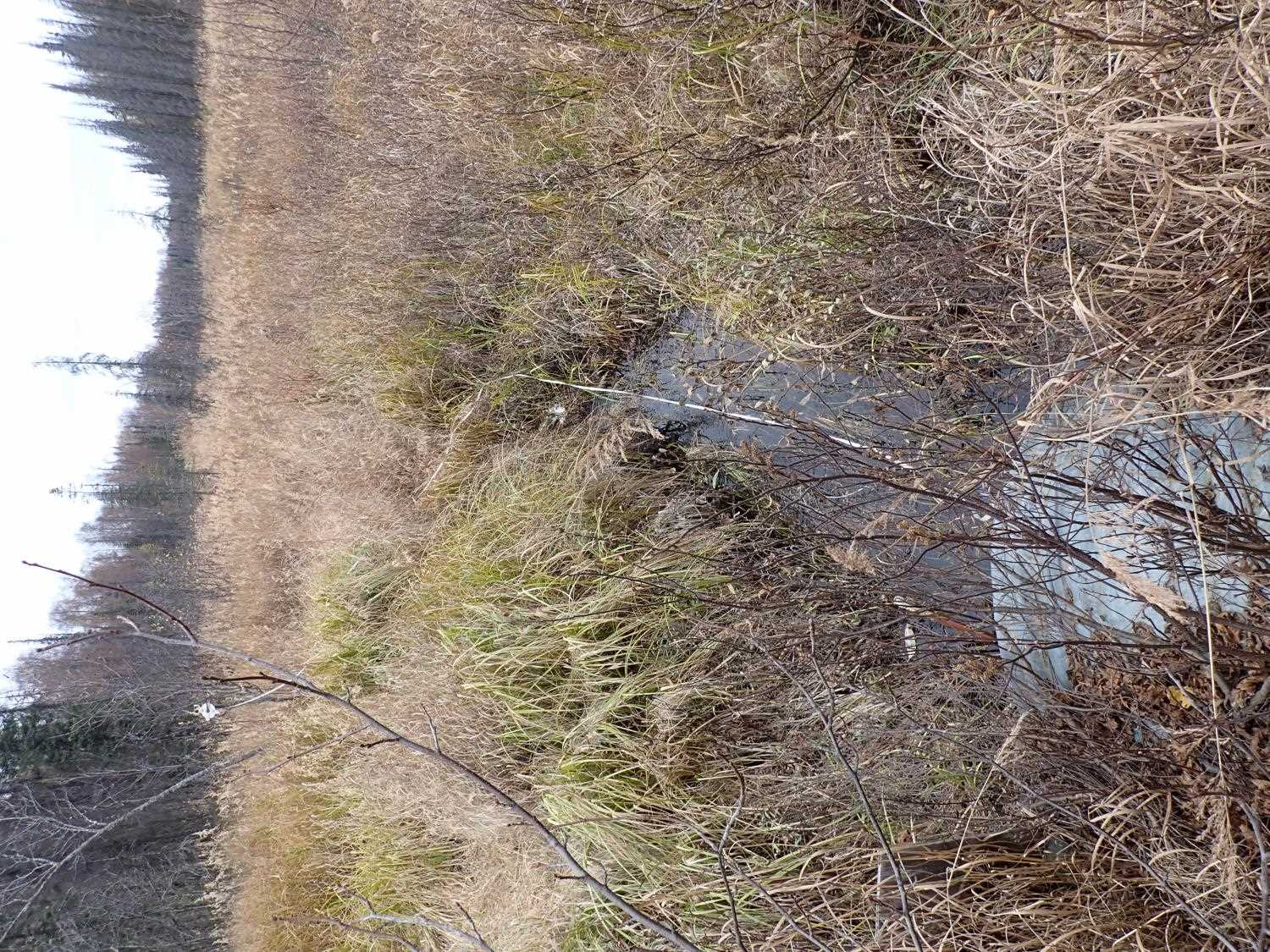
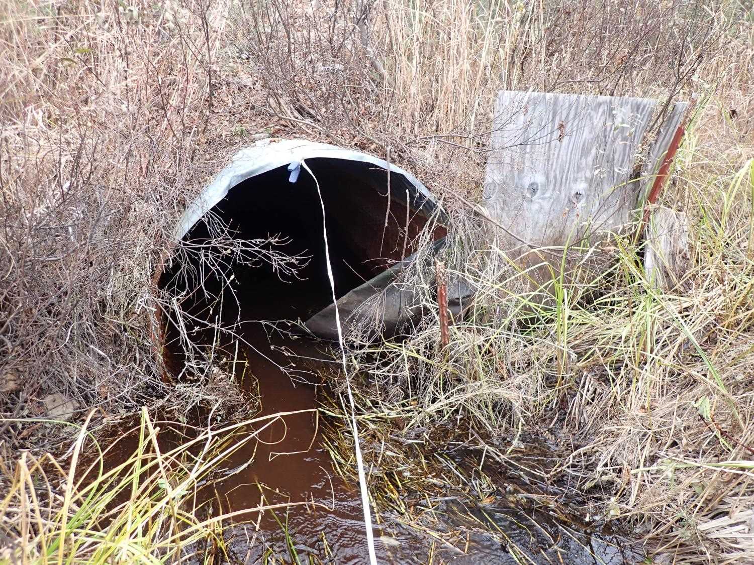
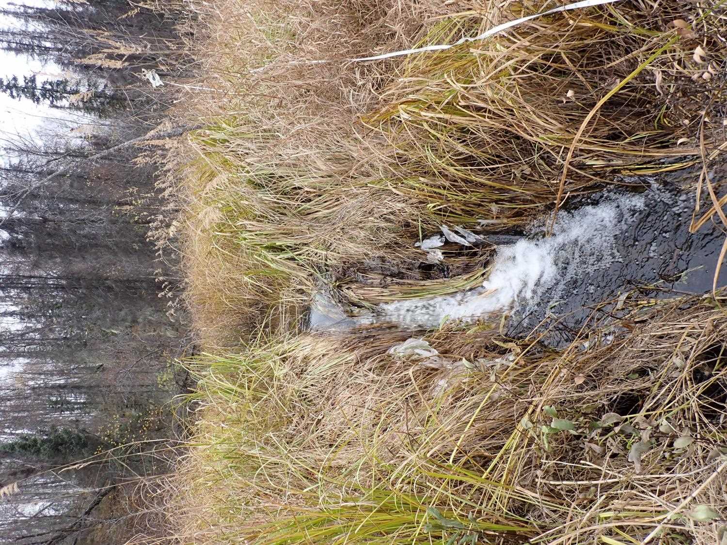
Comments: Inlet has old plywood knocked over at outlet and black vegetation cloth at outlet.
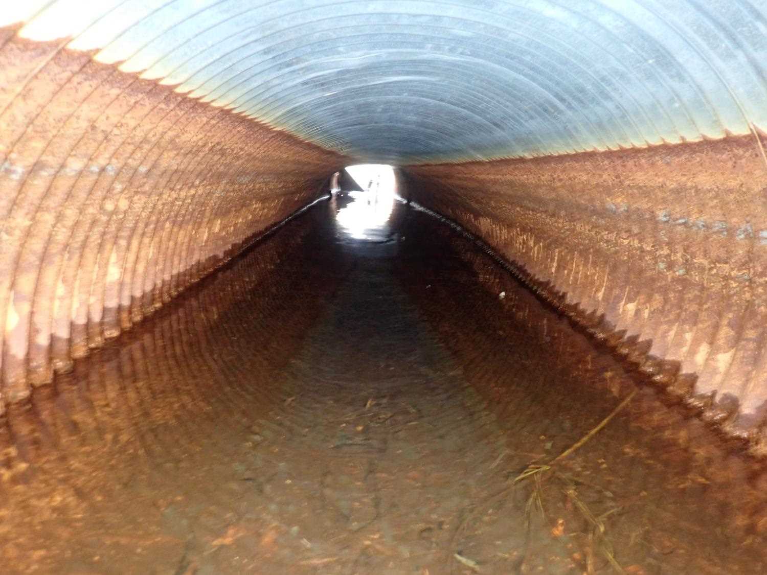
Culvert Measurements
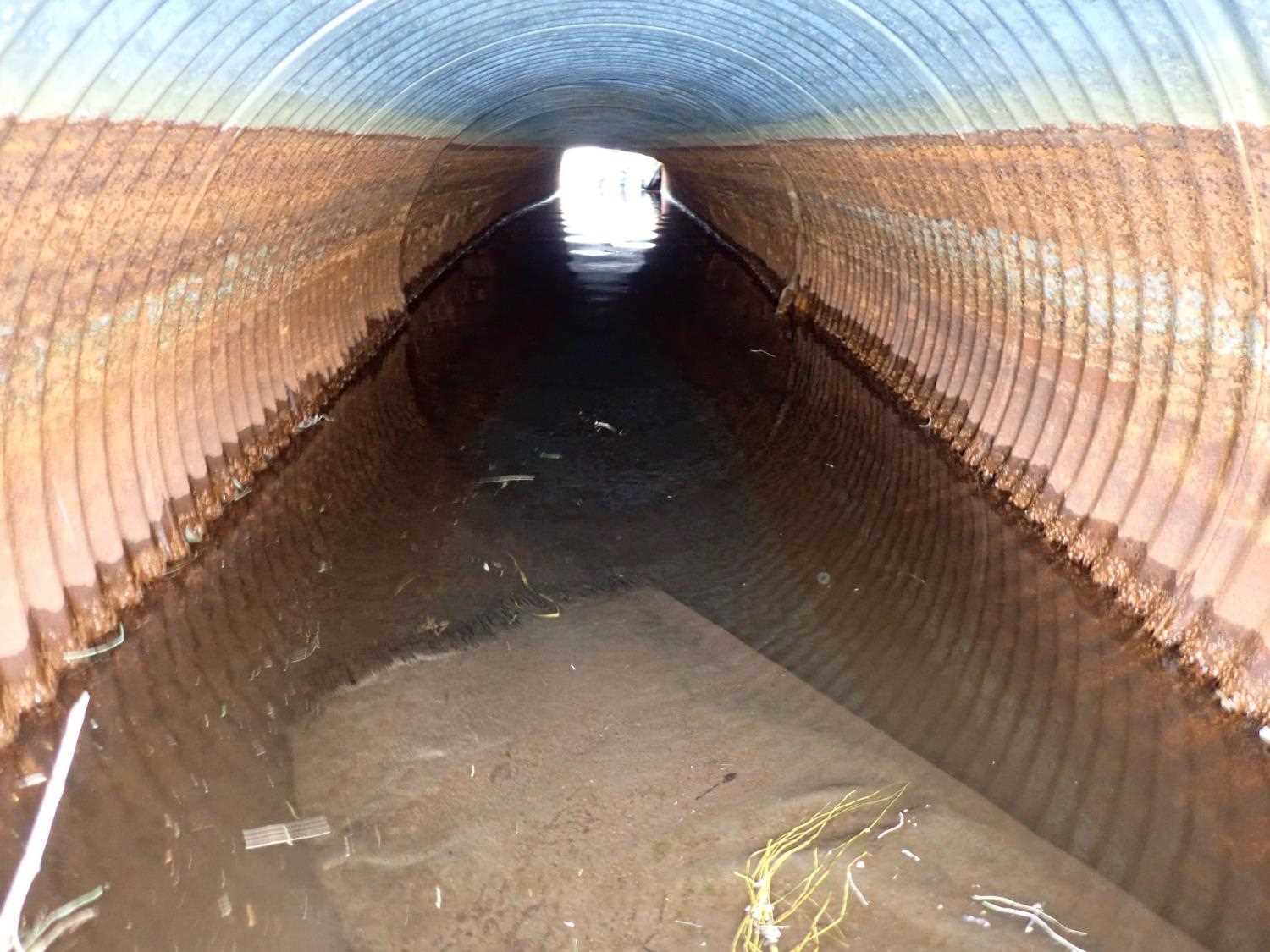
| ID: 1 | Structure Type: Circular pipe (Corrugated steel) | Fish Passage Rating: | ||||||||||||||||||||||||||||||||||||||||||
|
|
|
||||||||||||||||||||||||||||||||||||||||||
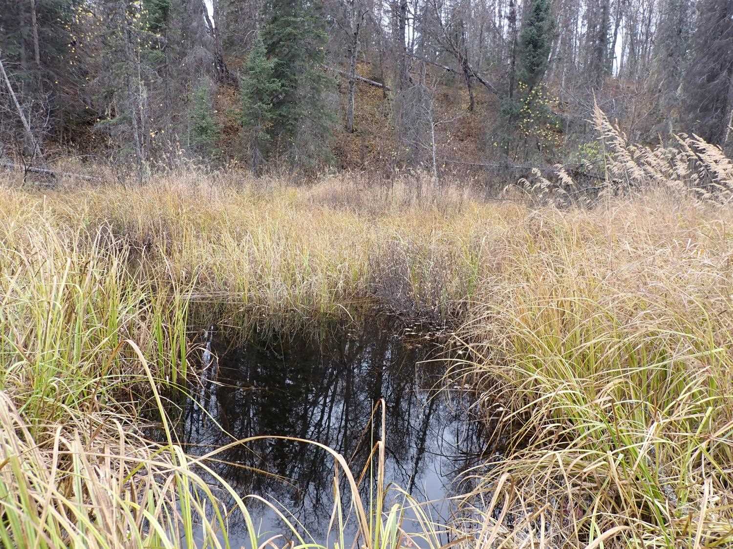
Comments: Inlet has short stream that is fed by a small waterfall from pond. |
||||||||||||||||||||||||||||||||||||||||||||
Culvert Observations:
|
||||||||||||||||||||||||||||||||||||||||||||
Stream Measurements
|
|
| Stream Width Type | Distance From Crossing (ft) |
Stream Width (ft) |
|---|---|---|
| Downstream ordinary high water | 58.0 | 4.70 |
| Downstream ordinary high water | 70.0 | 5.00 |
| Downstream ordinary high water | 99.0 | 4.20 |
Elevations
| Locator ID | Culvert Number |
River Distance (ft)1 |
Distance From Crossing (ft)2 |
Relative Elevation (ft) |
|---|---|---|---|---|
| D/S Thalweg | 0.00 | 92.12 | ||
| D/S Water Surface Elev | 0.00 | 93.78 | ||
| D/S Water Surface Elev | 49.00 | 93.79 | ||
| D/S Thalweg | 49.00 | 92.22 | ||
| D/S Water Surface Elev | 101.00 | 94.19 | ||
| Outlet Culvert Top | 101.00 | 96.63 | ||
| Outlet Invert | 101.00 | 93.75 | ||
| Inlet Culvert Top | 141.24 | 97.01 | ||
| U/S Water Surface Elev | 141.24 | 94.21 | ||
| Inlet Culvert Invert | 141.24 | 93.53 | ||
| U/S Thalweg | 165.24 | 93.68 | ||
| U/S Water Surface Elev | 165.24 | 94.33 | ||
| U/S Thalweg | 169.24 | 95.82 | ||
| U/S Water Surface Elev | 169.24 | 96.40 |
Notes:
- River distance is measured continuously throughout the survey reach along the thalweg of the stream.
- Measured from each end of the crossing along the thalweg of the stream.
Fish Sampling Efforts
No fish sampling occurred during this survey.
Fish Observations
No fish observations occurred during this survey.
Photos
Questions or comments about this report can be directed to dfg.dsf.webmaster@alaska.gov