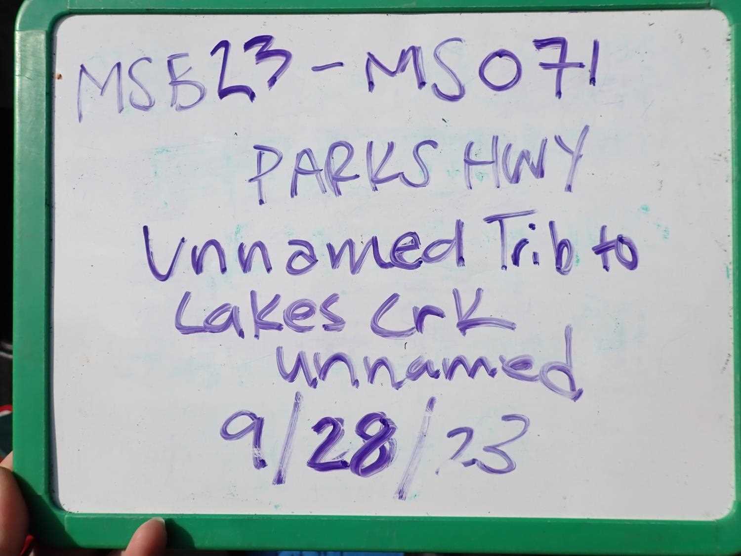
Fish Passage Site 20504055
Coordinates (dec. deg.): 61.65215°, -149.89410°
Legal Description: S018N003W18
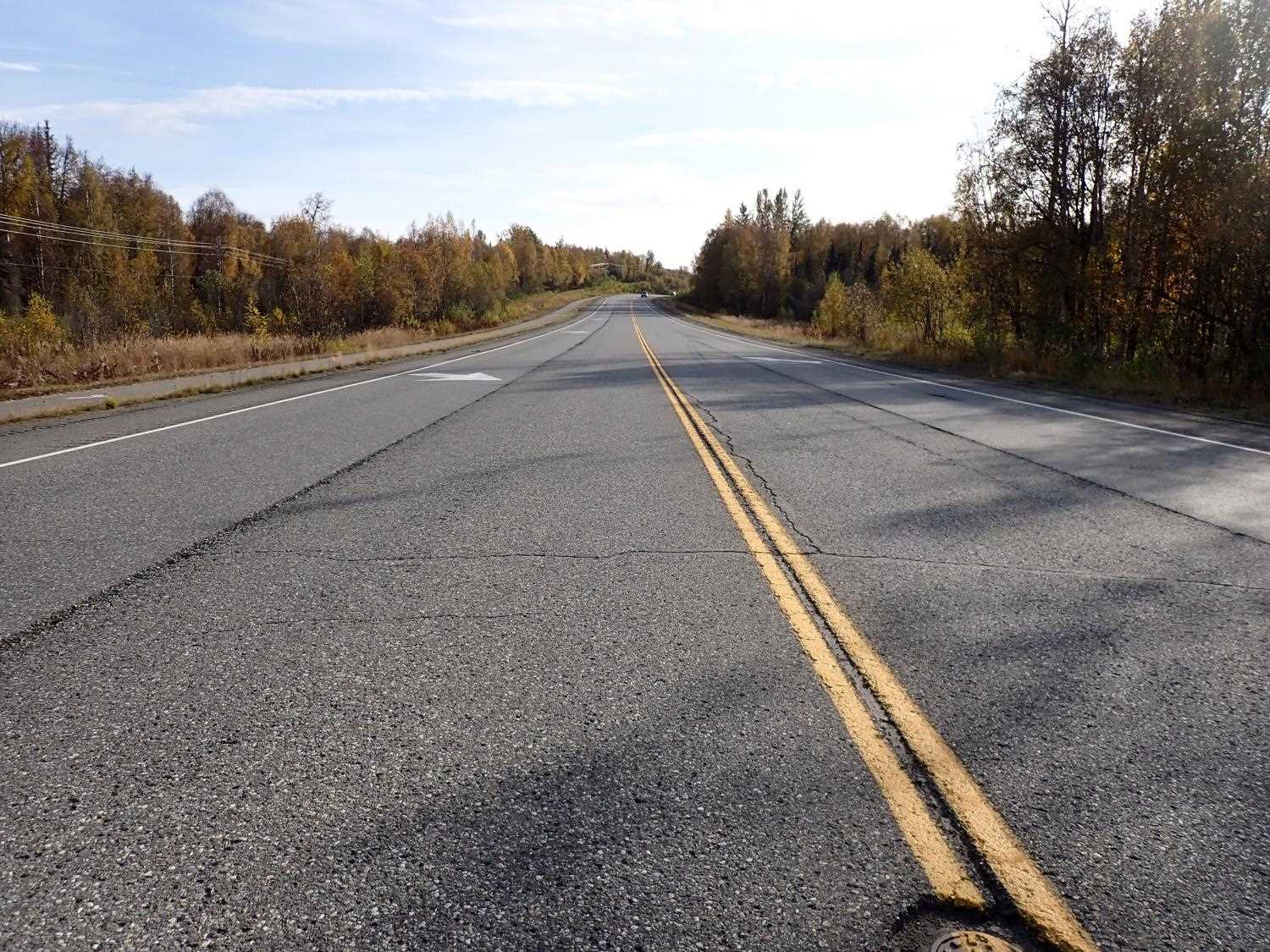
Region: South Central
Road Name: Parks Highway
Datum: WGS84
Quad Name / ITM: Anchorage C-8
AWC Stream #: 247-41-10100-2231-3018-4011
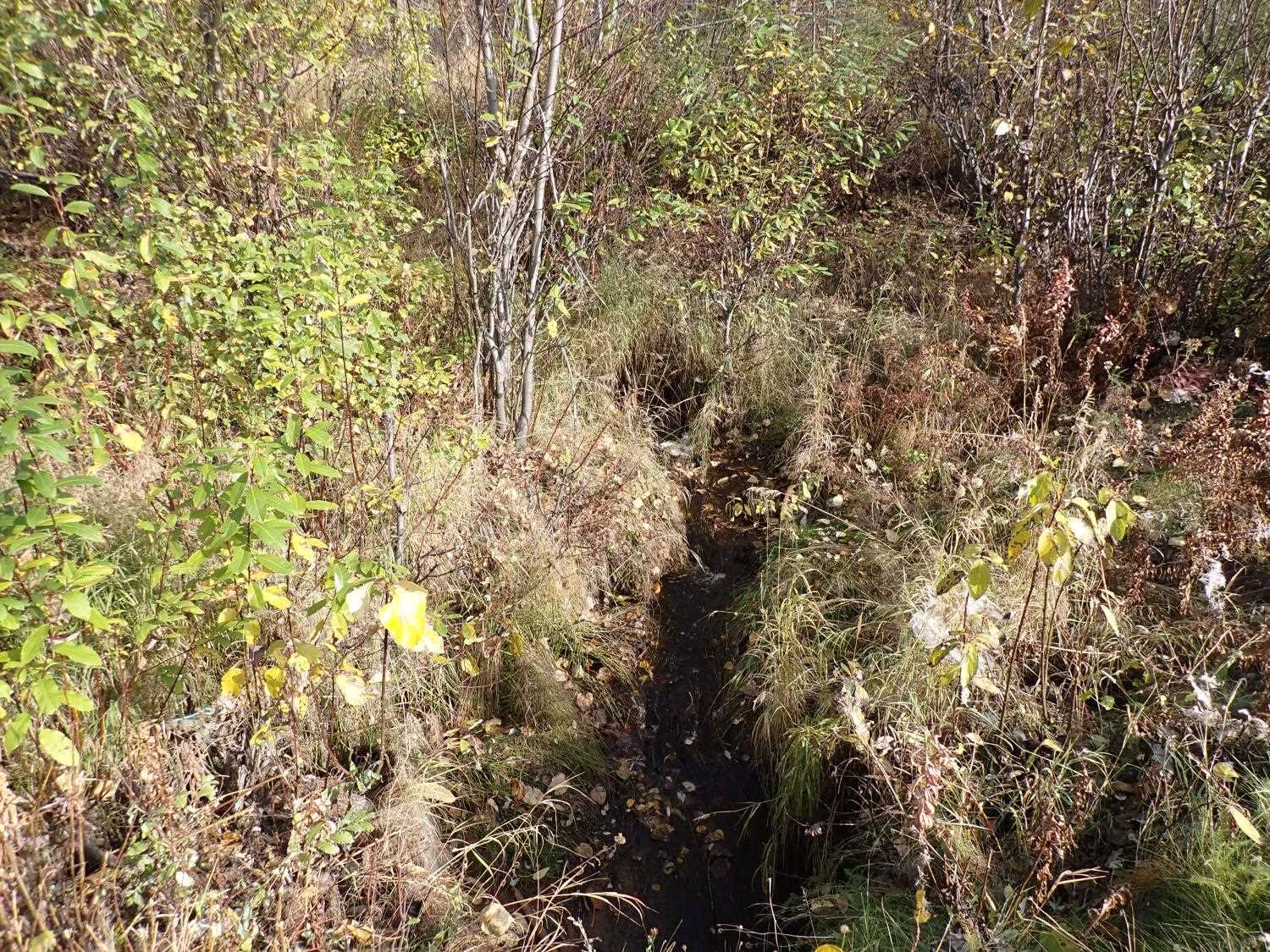
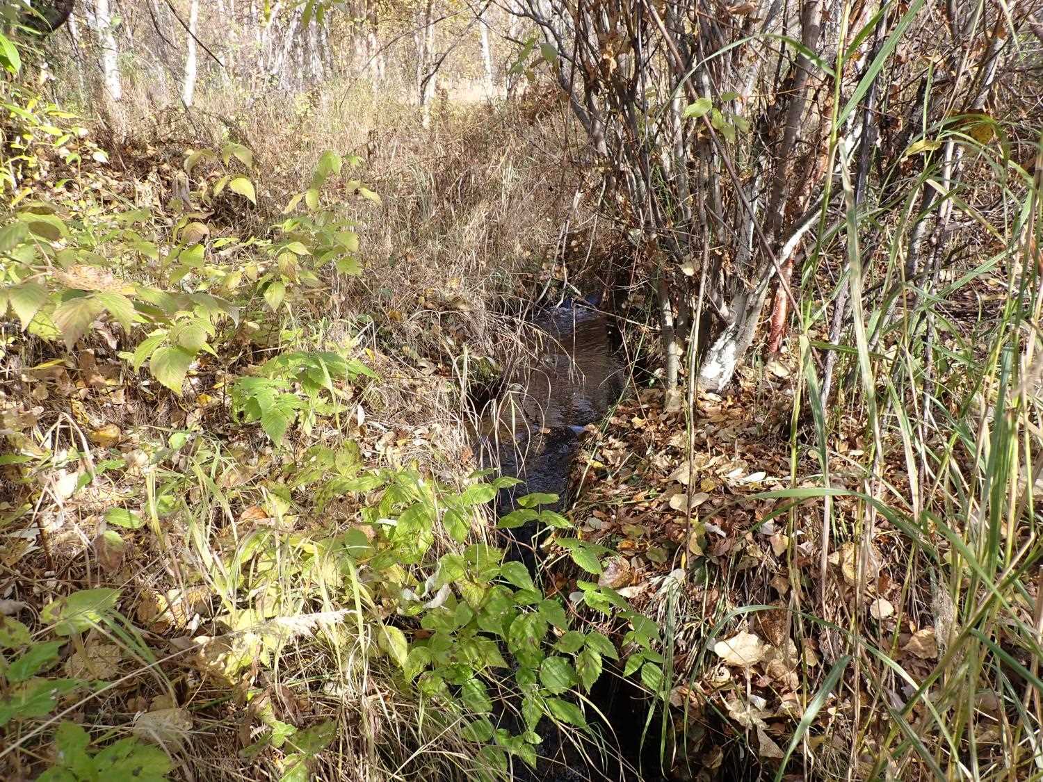
Stream Name: Unnamed Lake Creek Tributarry
Elevation:
Site Comments: None
Survey MSB23-MS071
Project Supervisor: Michael Mazzacavallo, Alaska Department of Fish and Game
— Anchorage, AK
Observers: Michael Mazzacavallo, Kat Leavitt, Beth Evers, Amy LaBarre
Overall Fish Passage Rating:
Tidal: No
Backwatered: No
Step Pools: No
Construction Year:
Site Observations:
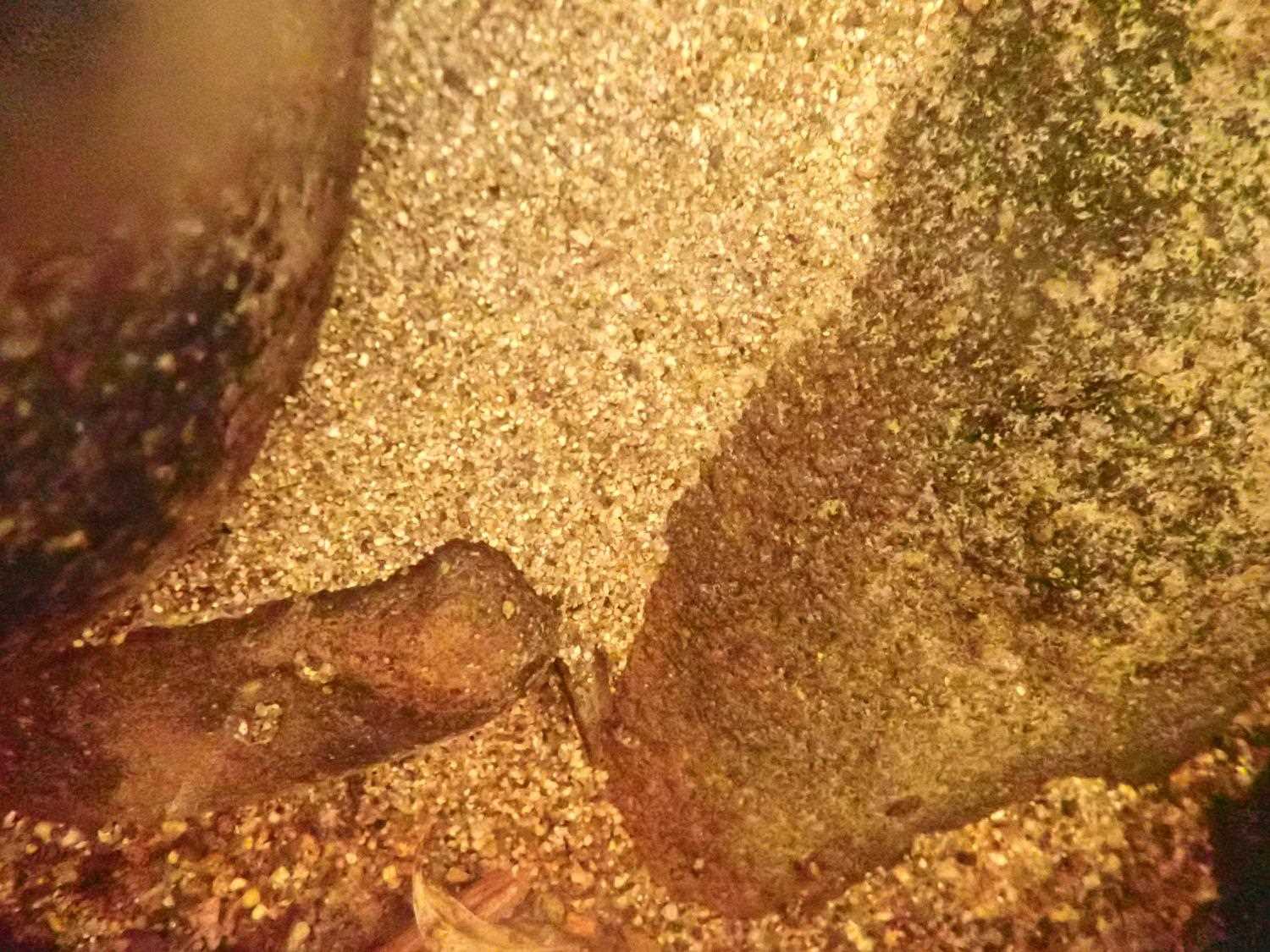
- Culvert gradient red
- Mechanical damage or joints parting
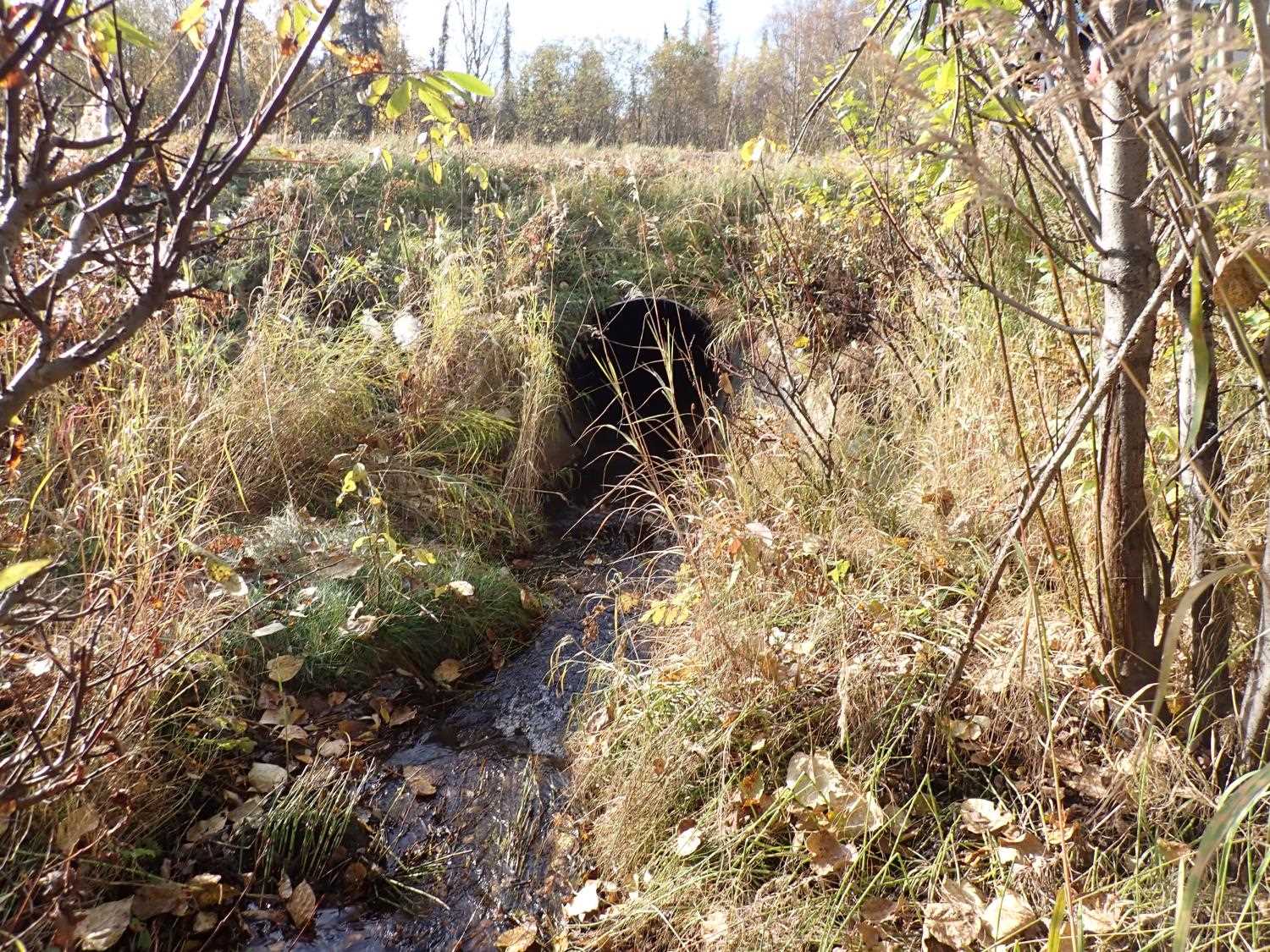
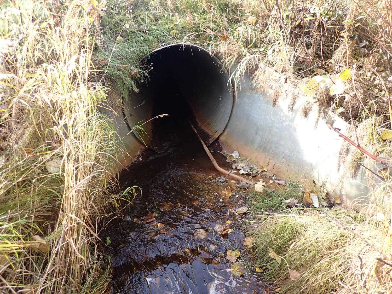
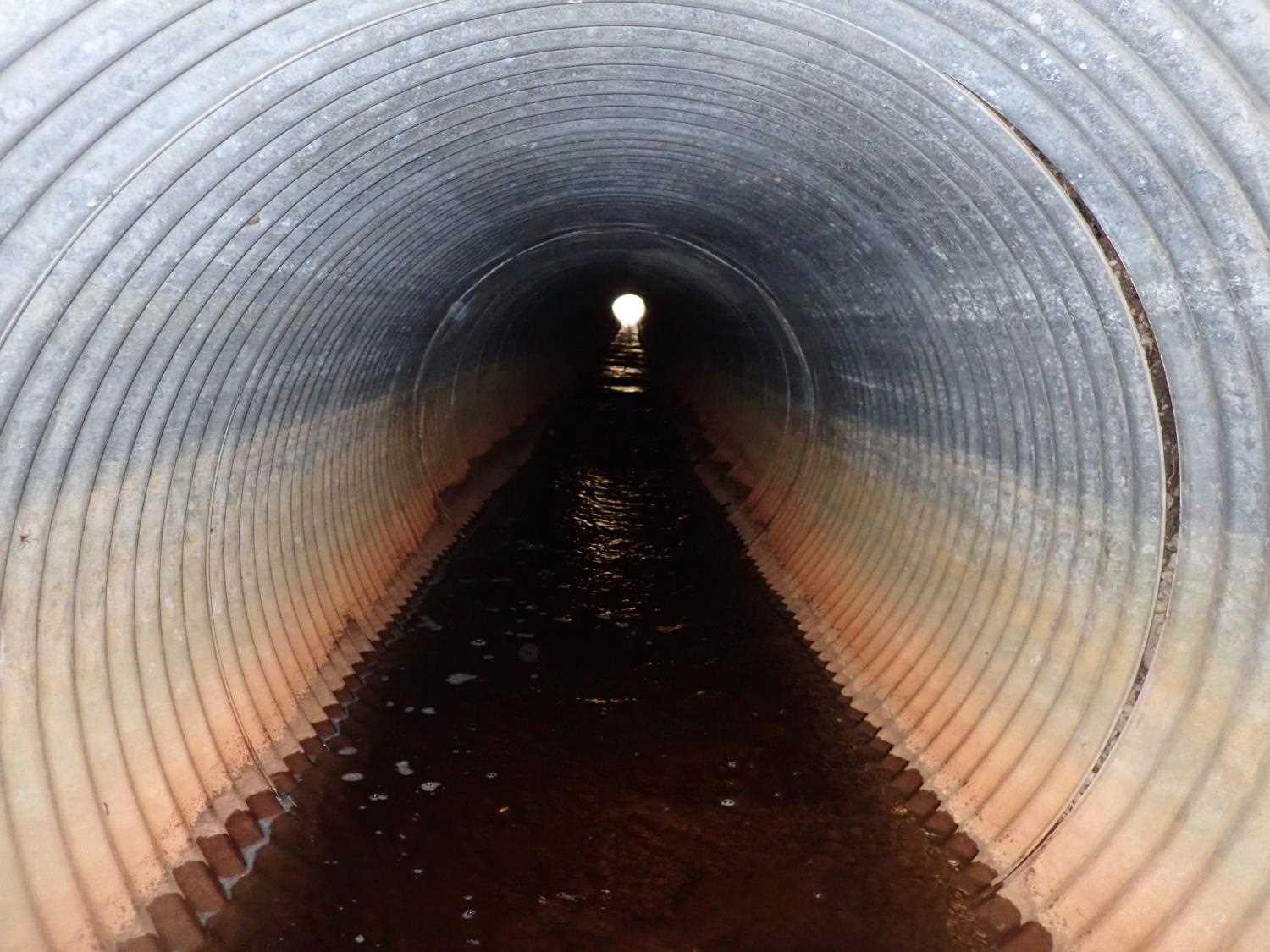
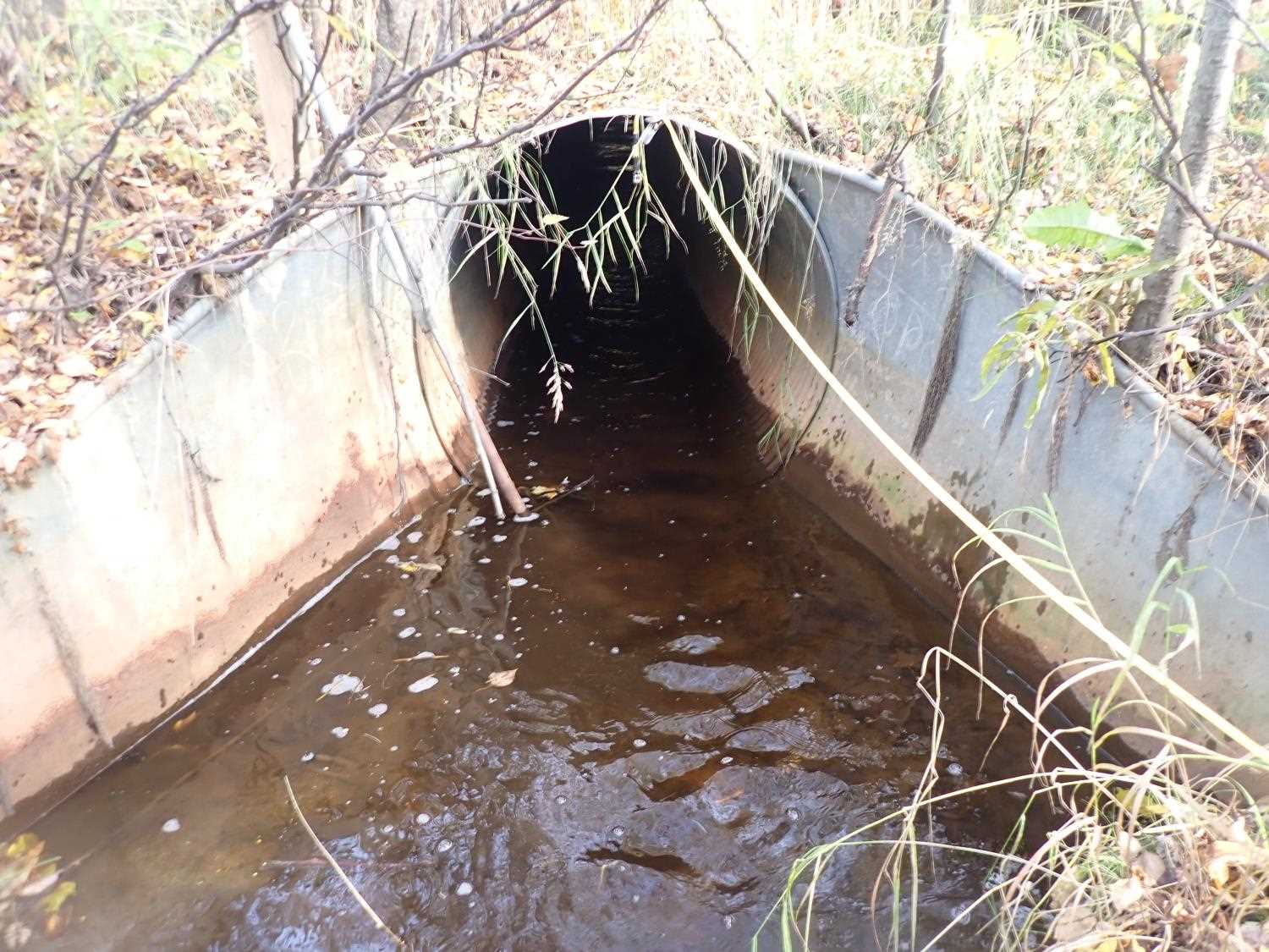
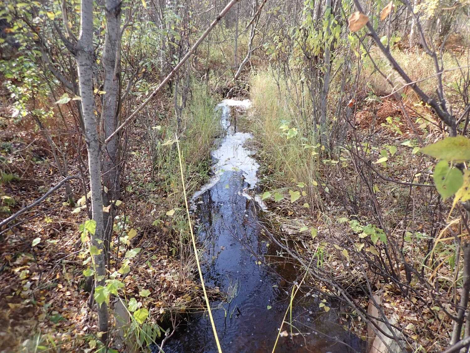
Comments: Thaw pipe in culvert. Small contributing stream on inlet side.
Culvert Measurements
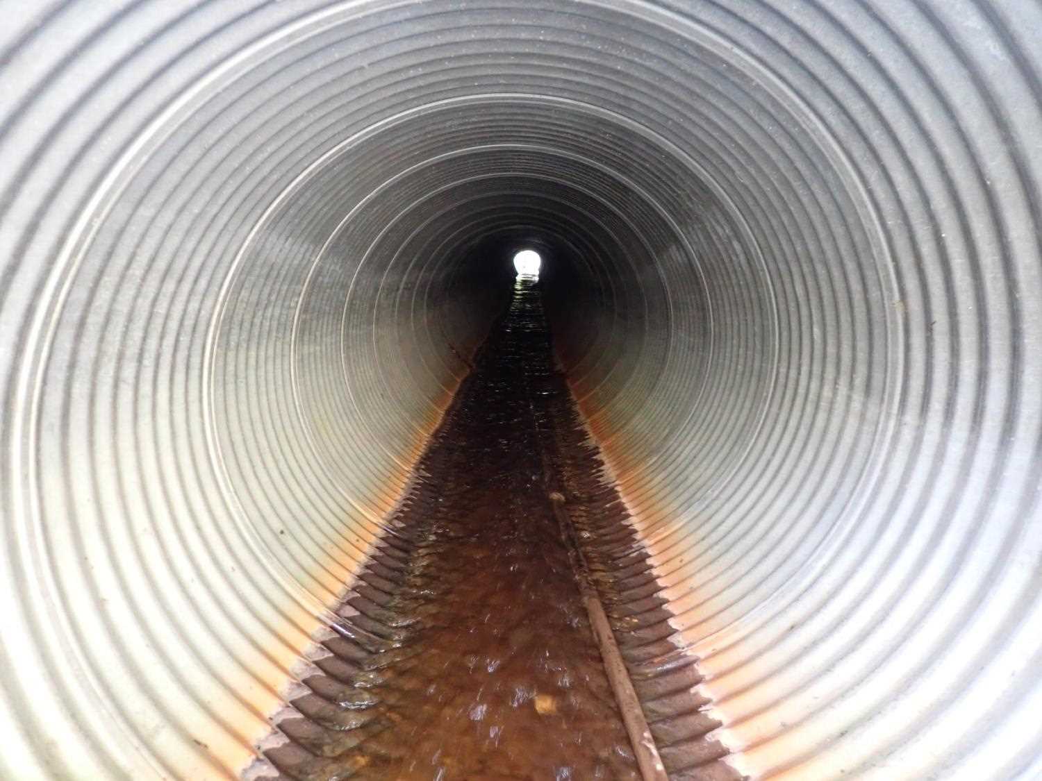
| ID: 1 | Structure Type: Circular pipe (Corrugated steel) | Fish Passage Rating: | ||||||||||||||||||||||||||||||||||||||||||
|
|
|
||||||||||||||||||||||||||||||||||||||||||
Culvert Observations:
|
||||||||||||||||||||||||||||||||||||||||||||
Stream Measurements
|
|
No stream width data available.
Elevations
| Locator ID | Culvert Number |
River Distance (ft)1 |
Distance From Crossing (ft)2 |
Relative Elevation (ft) |
|---|---|---|---|---|
| Road Elev | 101.66 | |||
| D/S Water Surface Elev | 0.00 | 89.27 | ||
| D/S Thalweg | 0.00 | 88.71 | ||
| D/S Water Surface Elev | 54.00 | 89.48 | ||
| D/S Thalweg | 54.00 | 89.11 | ||
| D/S Water Surface Elev | 91.00 | 89.53 | ||
| Outlet Invert | 91.00 | 88.72 | ||
| Outlet Culvert Top | 91.00 | 92.94 | ||
| U/S Water Surface Elev | 219.94 | 93.10 | ||
| Inlet Culvert Invert | 219.94 | 92.88 | ||
| Inlet Culvert Top | 219.94 | 96.88 | ||
| U/S Thalweg | 233.94 | 93.43 | ||
| U/S Water Surface Elev | 233.94 | 93.77 | ||
| U/S Thalweg | 243.94 | 94.06 | ||
| U/S Water Surface Elev | 243.94 | 94.35 | ||
| U/S Thalweg | 251.94 | 94.45 | ||
| U/S Water Surface Elev | 251.94 | 94.81 | ||
| U/S Thalweg | 263.94 | 94.88 | ||
| U/S Water Surface Elev | 263.94 | 95.16 | ||
| U/S Thalweg | 295.94 | 95.32 | ||
| U/S Water Surface Elev | 295.94 | 96.12 | ||
| U/S Water Surface Elev | 313.94 | 96.34 | ||
| U/S Thalweg | 313.94 | 95.78 |
Notes:
- River distance is measured continuously throughout the survey reach along the thalweg of the stream.
- Measured from each end of the crossing along the thalweg of the stream.
Fish Sampling Efforts
No fish sampling occurred during this survey.
Fish Observations
No fish observations occurred during this survey.
Photos
Questions or comments about this report can be directed to dfg.dsf.webmaster@alaska.gov