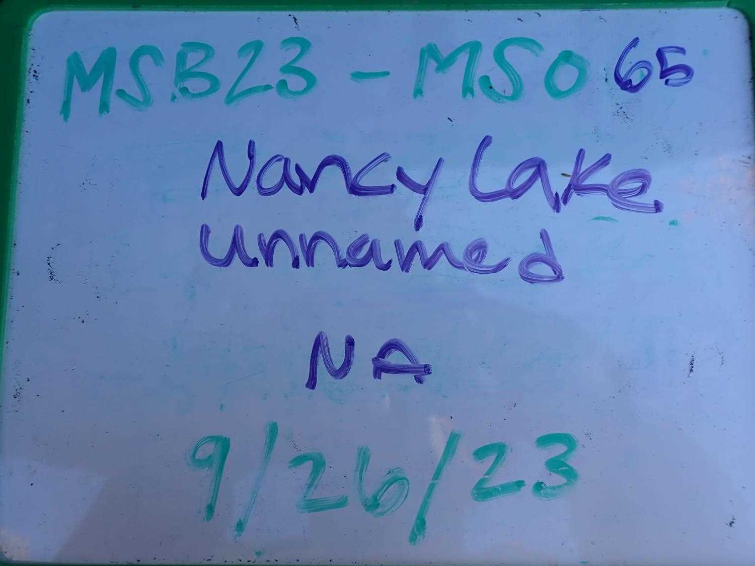
Fish Passage Site 20504054
Coordinates (dec. deg.): 61.69127°, -150.03159°
Legal Description: S019N004W32
Region: South Central
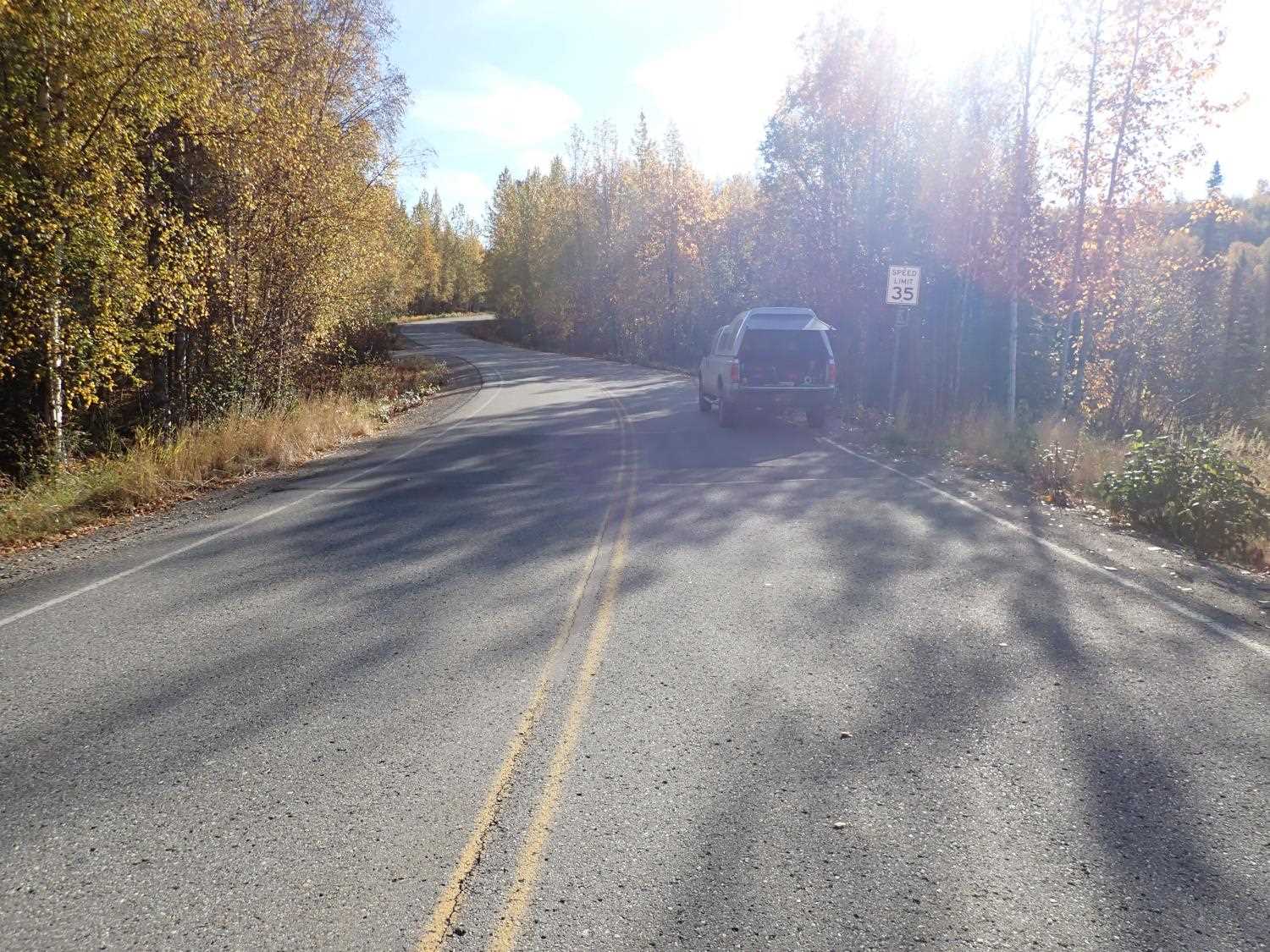
Road Name: Nancy Lake Road
Datum:
Quad Name / ITM: Tyonek C-1
AWC Stream #:
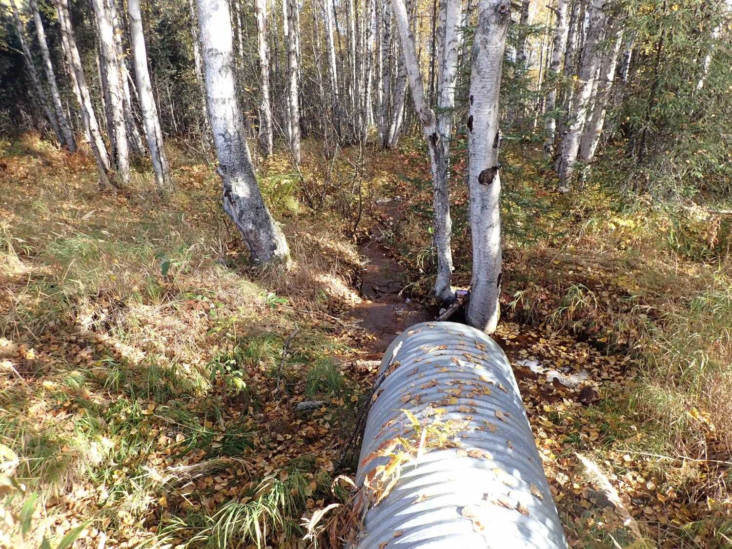
Stream Name: Unnamed
Elevation:
Site Comments: None
Survey MSB23-MS065
Project Supervisor: Michael Mazzacavallo, Alaska Department of Fish and Game
— Anchorage, AK
Observers: Michael Mazzacavallo, Kat Leavitt, Beth Evers
Overall Fish Passage Rating:
Tidal: No
Backwatered: No
Step Pools: No
Construction Year:
Site Observations:
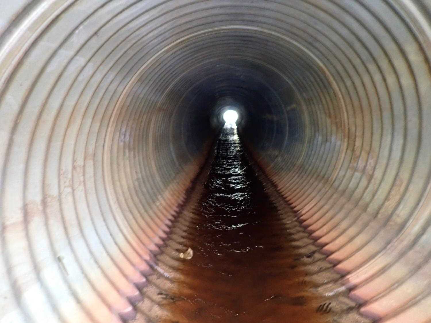
- Outfall height gray
- Culvert gradient red
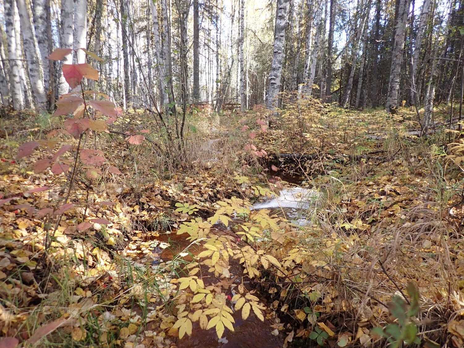
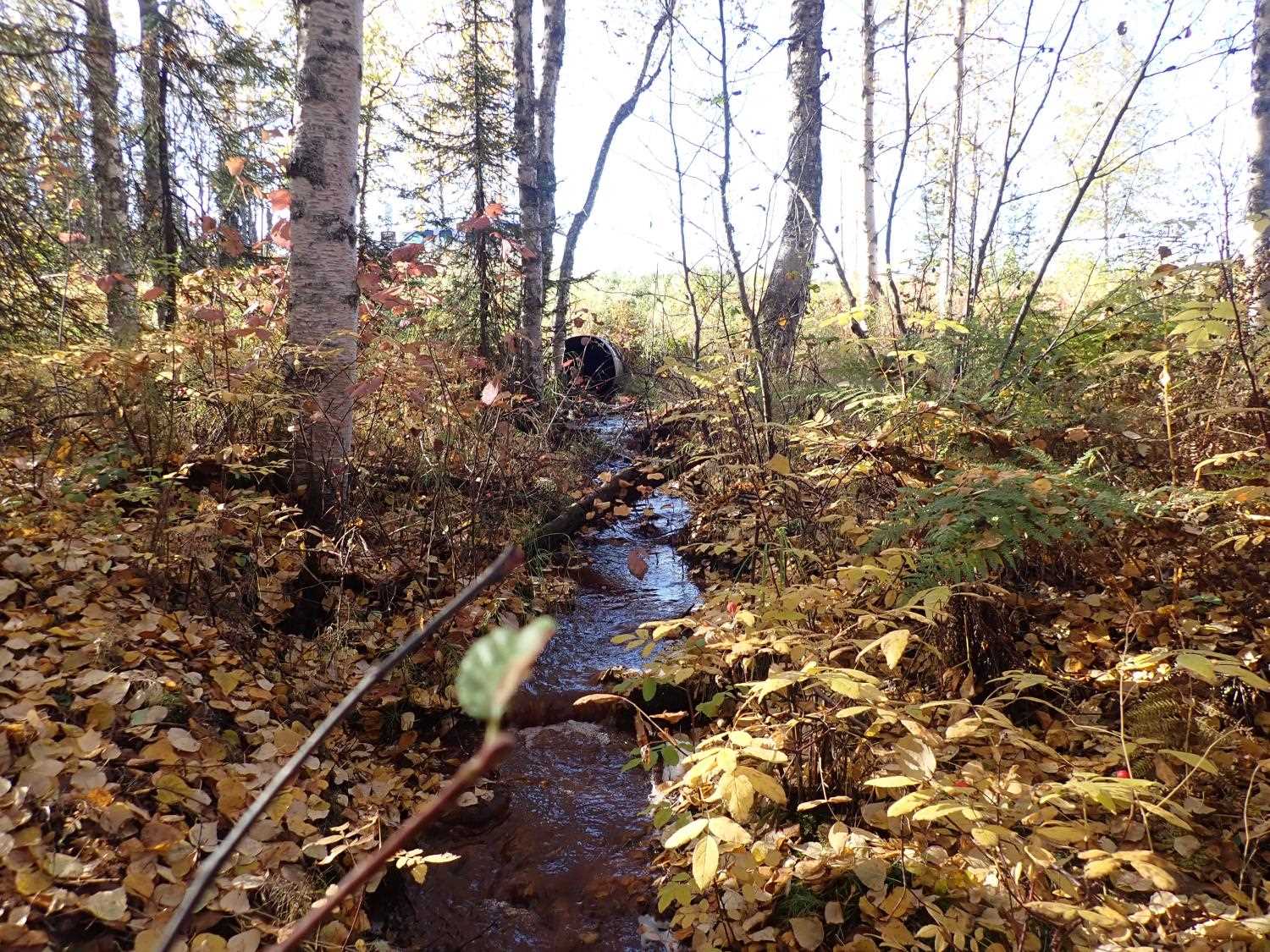
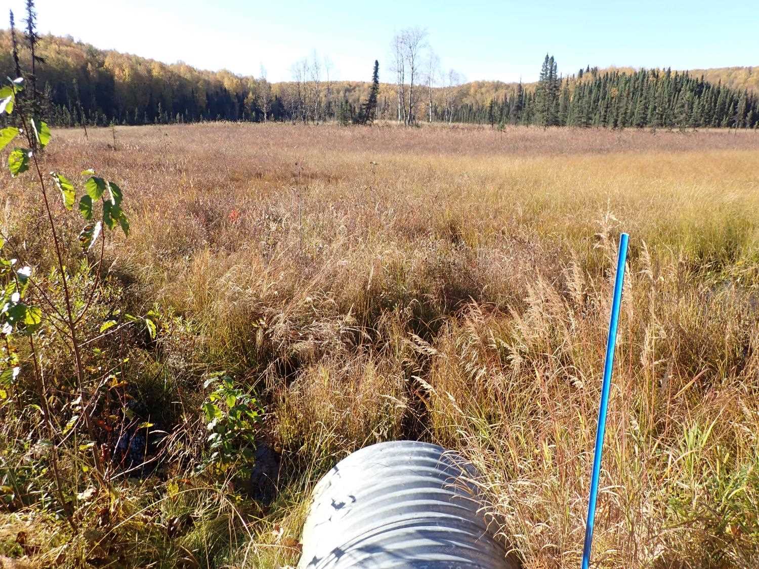
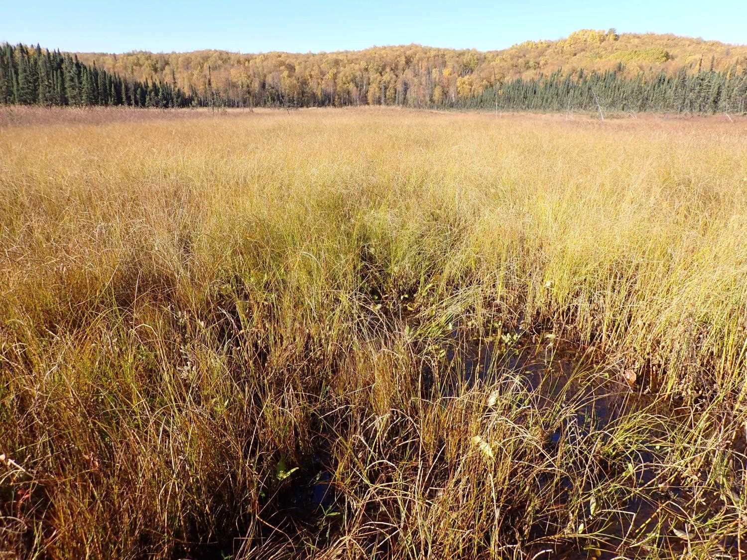
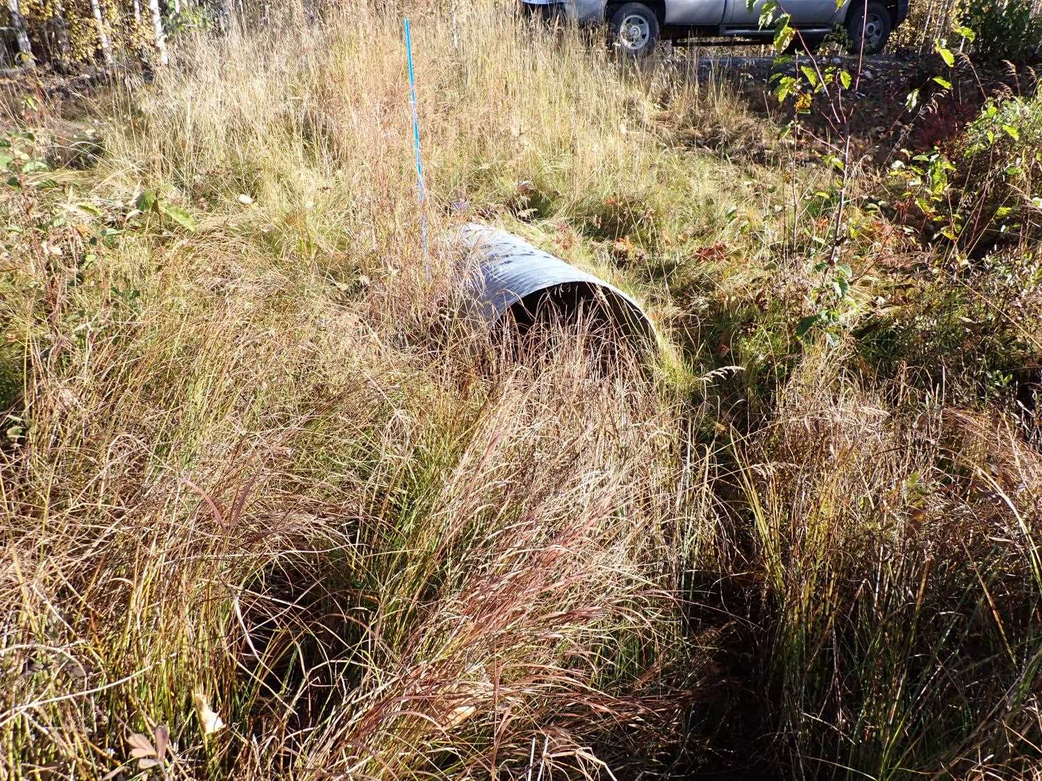
Comments: Lots of little step downs and pools on outlet side. Inlet side is wetland area.
Culvert Measurements
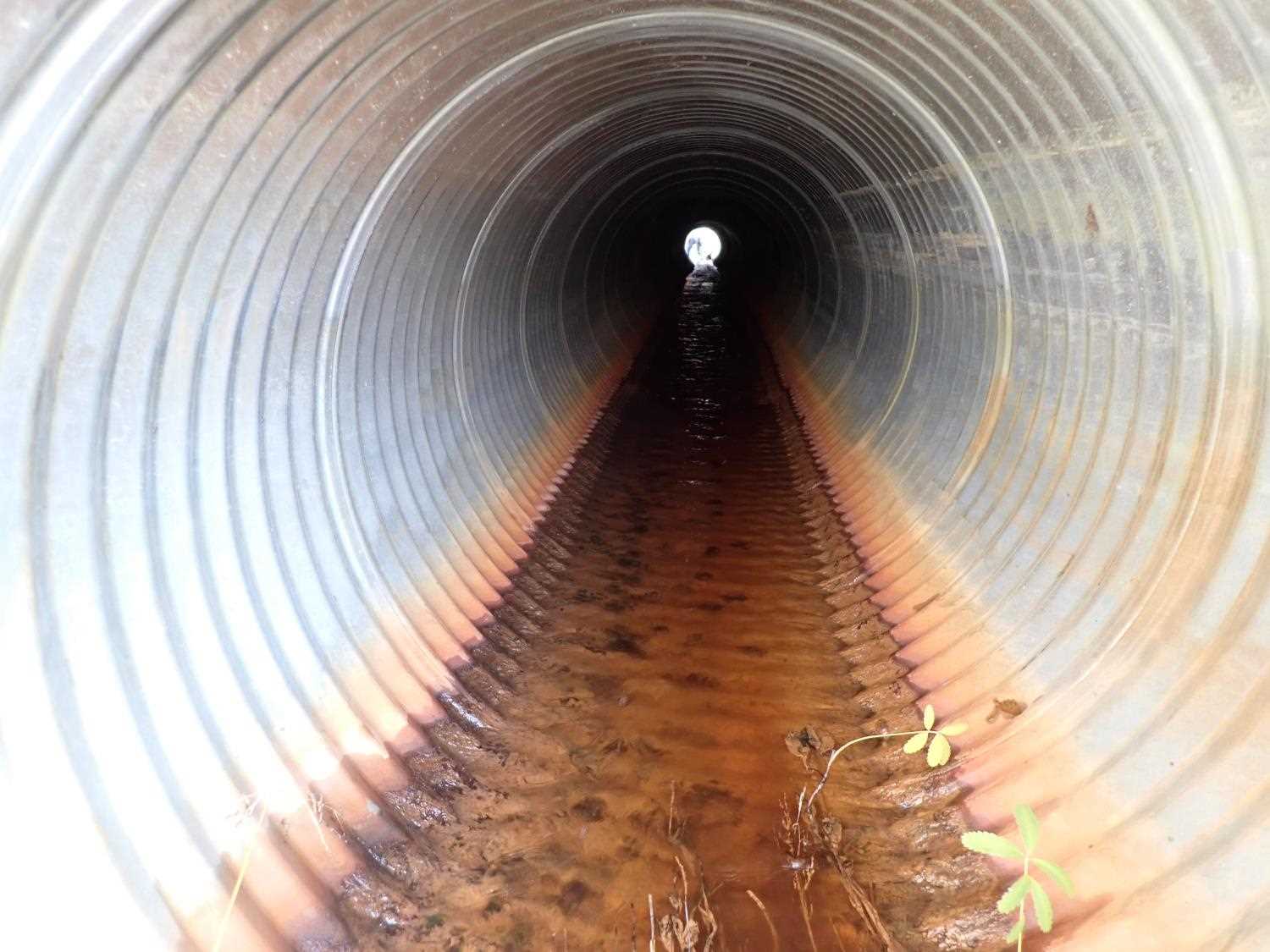
| ID: 1 | Structure Type: Circular pipe (Corrugated steel) | Fish Passage Rating: | ||||||||||||||||||||||||||||||||||||||||||
|
|
|
||||||||||||||||||||||||||||||||||||||||||
Culvert Observations:
|
||||||||||||||||||||||||||||||||||||||||||||
Stream Measurements
|
|
| Stream Width Type | Distance From Crossing (ft) |
Stream Width (ft) |
|---|---|---|
| Downstream bed width | 53.0 | 3.60 |
| Downstream bed width | 75.0 | 4.70 |
| Downstream bed width | 96.0 | 4.00 |
Elevations
| Locator ID | Culvert Number |
River Distance (ft)1 |
Distance From Crossing (ft)2 |
Relative Elevation (ft) |
|---|---|---|---|---|
| Road Elev | 99.69 | |||
| D/S Thalweg | 0.00 | 87.38 | ||
| D/S Water Surface Elev | 0.00 | 87.89 | ||
| D/S Thalweg | 6.00 | 87.99 | ||
| D/S Water Surface Elev | 6.00 | 88.34 | ||
| D/S Thalweg | 68.00 | 89.55 | ||
| D/S Water Surface Elev | 68.00 | 89.84 | ||
| D/S Thalweg | 90.00 | 90.67 | ||
| D/S Water Surface Elev | 90.00 | 90.83 | ||
| D/S Thalweg | 100.00 | 91.14 | ||
| D/S Water Surface Elev (Pool water surface) | 100.00 | 91.58 | ||
| Outlet Invert | 101.00 | 91.65 | ||
| D/S Water Surface Elev | 101.00 | 91.75 | ||
| Outlet Culvert Top | 101.00 | 94.54 | ||
| Inlet Culvert Top | 185.76 | 95.85 | ||
| Inlet Culvert Invert | 185.76 | 92.83 | ||
| U/S Water Surface Elev | 185.76 | 93.07 | ||
| U/S Headwater | 215.76 | 93.91 |
Notes:
- River distance is measured continuously throughout the survey reach along the thalweg of the stream.
- Measured from each end of the crossing along the thalweg of the stream.
Fish Sampling Efforts
No fish sampling occurred during this survey.
Fish Observations
No fish observations occurred during this survey.
Photos
Questions or comments about this report can be directed to dfg.dsf.webmaster@alaska.gov