Fish Passage Site 20503986
Coordinates (dec. deg.): 61.36624°, -149.96286°
Legal Description: S015N004W27
Region: South Central
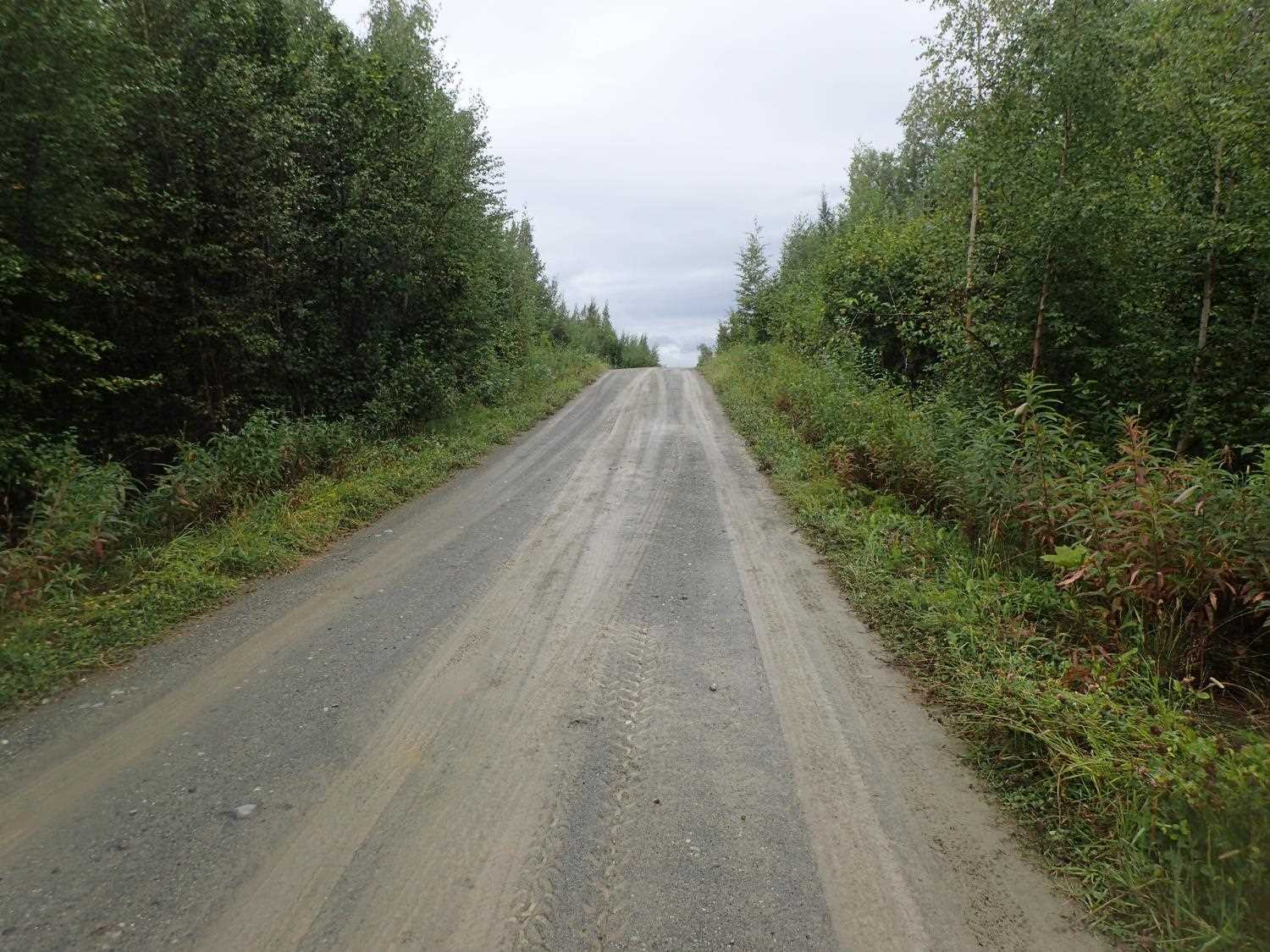
Road Name: John's Way
Datum: WGS84
Quad Name / ITM: Anchorage B-8
AWC Stream #:
Stream Name: Unnamed Stream
Elevation:
Site Comments: None
Survey MSB23-JOW01
Project Supervisor: Michael Mazzacavallo, Alaska Department of Fish and Game
— Anchorage, AK
Observers: Michael Mazzacavallo, Kevin Keith
Overall Fish Passage Rating:
Tidal: No
Backwatered: No
Step Pools: No
Construction Year:
Comments: None
Culvert Measurements
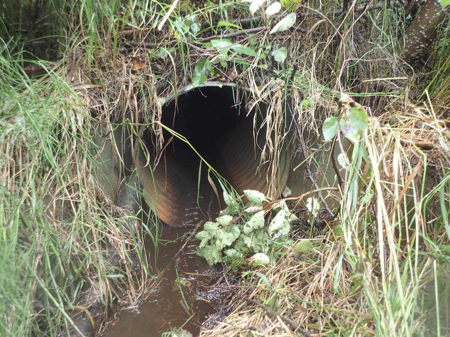
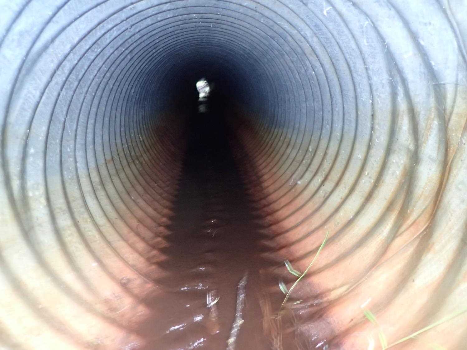
| ID: 1 | Structure Type: Circular pipe (Corrugated steel) | Fish Passage Rating: | ||||||||||||||||||||||||||||||||||||||||||
|
|
|
||||||||||||||||||||||||||||||||||||||||||
Comments: Inlet Apron: 2.6 ft= length, 4.7 ft= width. Outlet apron: width 4.5ft, length= 3.5ft. |
||||||||||||||||||||||||||||||||||||||||||||
Stream Measurements
|
|
| Stream Width Type | Distance From Crossing (ft) |
Stream Width (ft) |
|---|---|---|
| Downstream ordinary high water | 40.0 | 0.80 |
| Downstream ordinary high water | 60.0 | 1.90 |
| Downstream ordinary high water | 100.0 | 1.80 |
Elevations
No elevation data available.
Fish Sampling Efforts
No fish sampling occurred during this survey.
Fish Observations
No fish observations occurred during this survey.
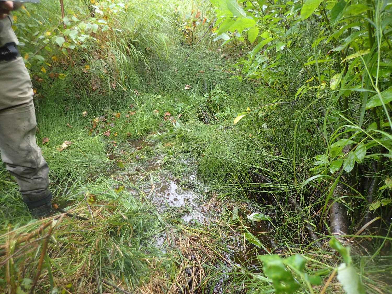
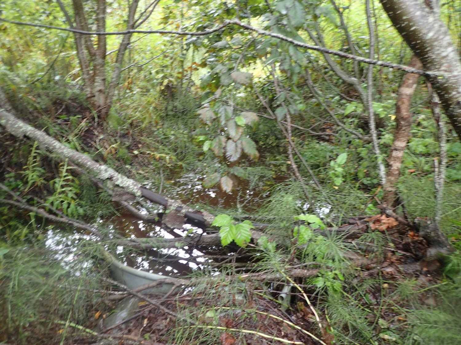
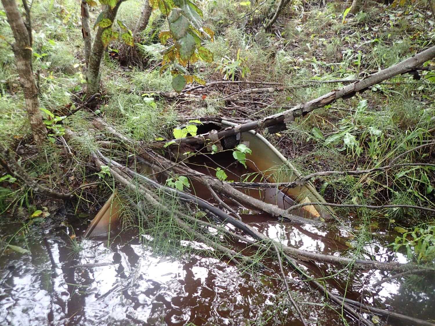
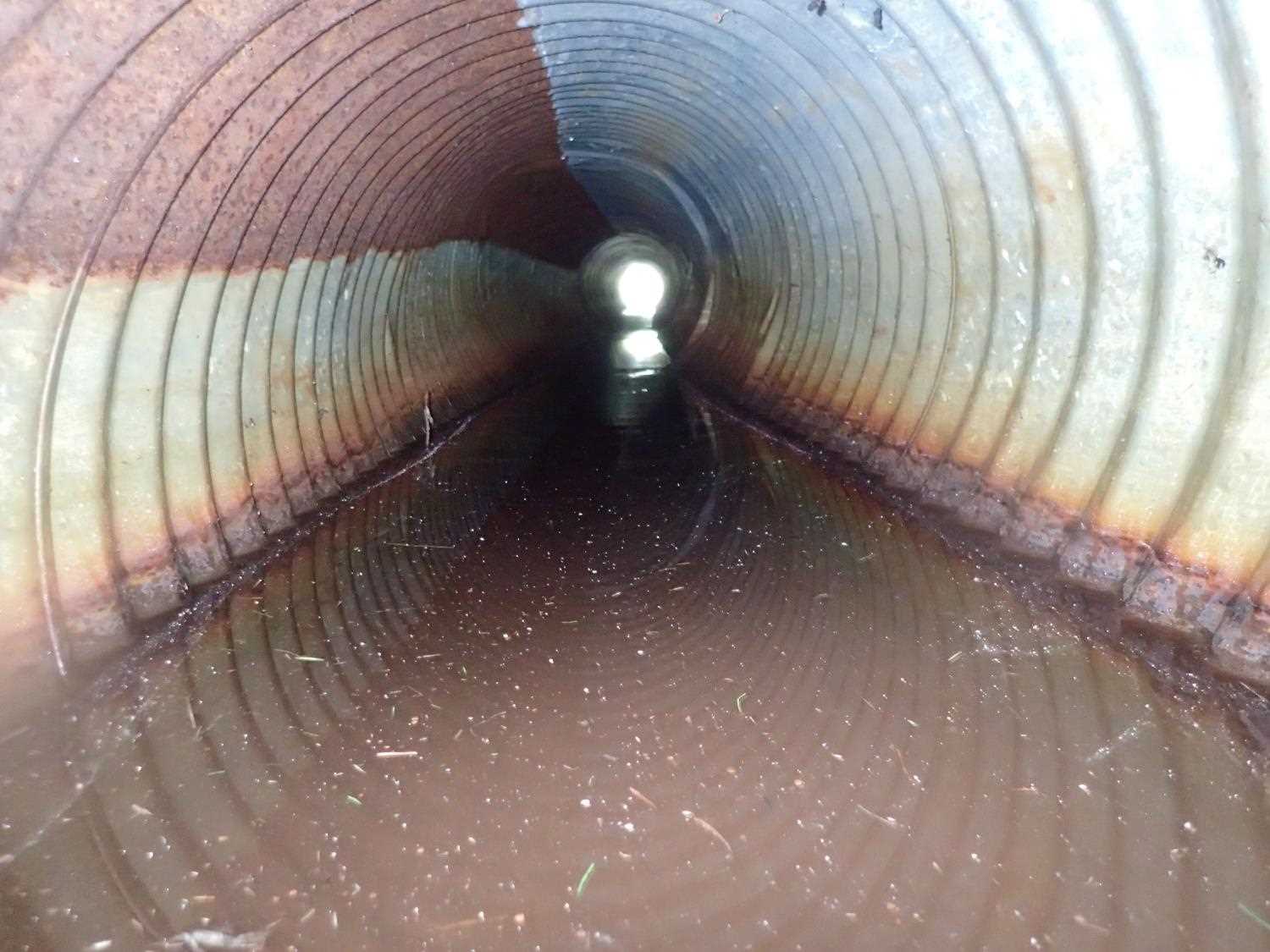
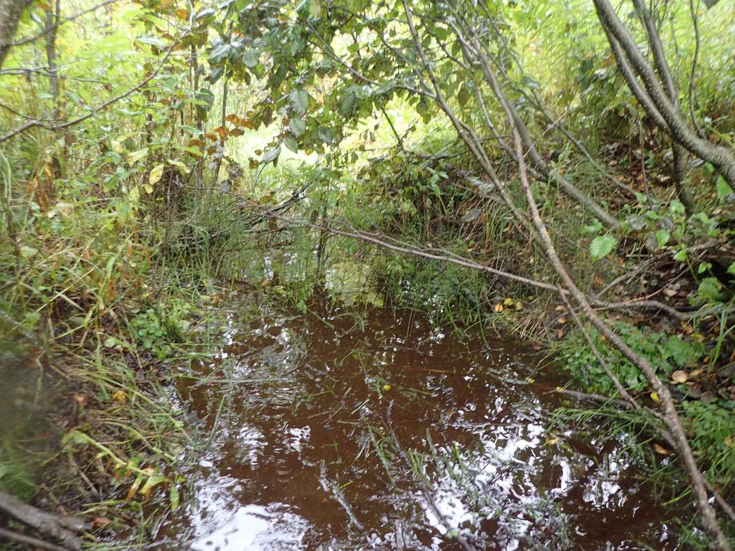
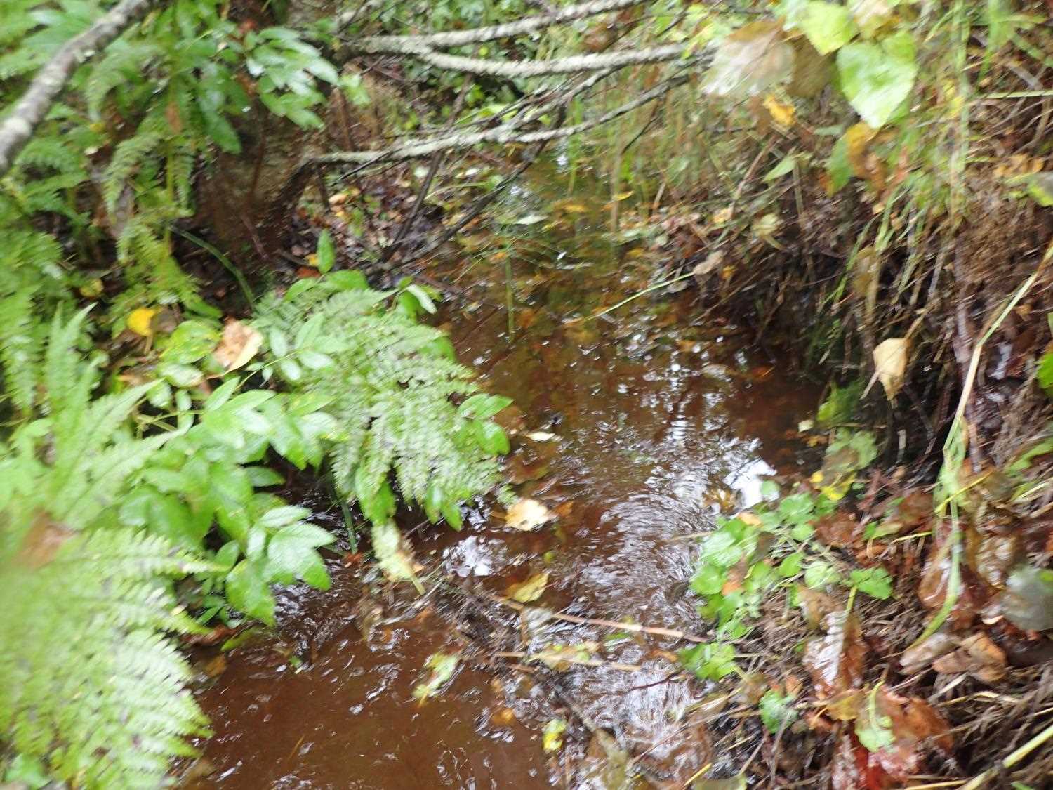
Photos
Questions or comments about this report can be directed to dfg.dsf.webmaster@alaska.gov