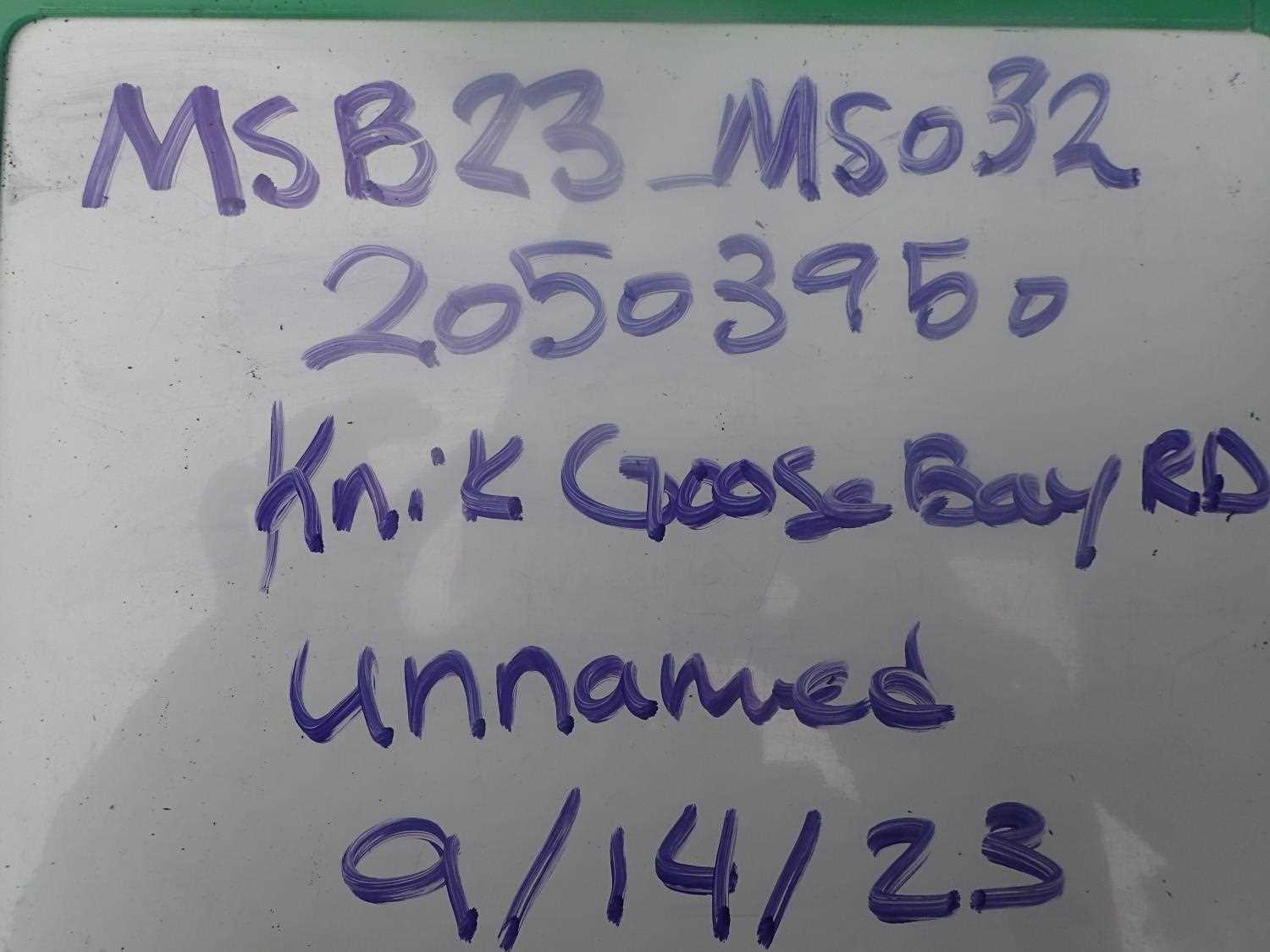
Fish Passage Site 20503950
Coordinates (dec. deg.): 61.44940°, -149.75890°
Legal Description: S016N003W26
Region: South Central
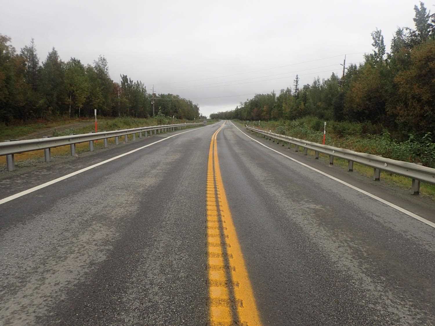
Road Name: Knik-Goose Bay Road
Datum: WGS84
Quad Name / ITM: Anchorage B-8
AWC Stream #:
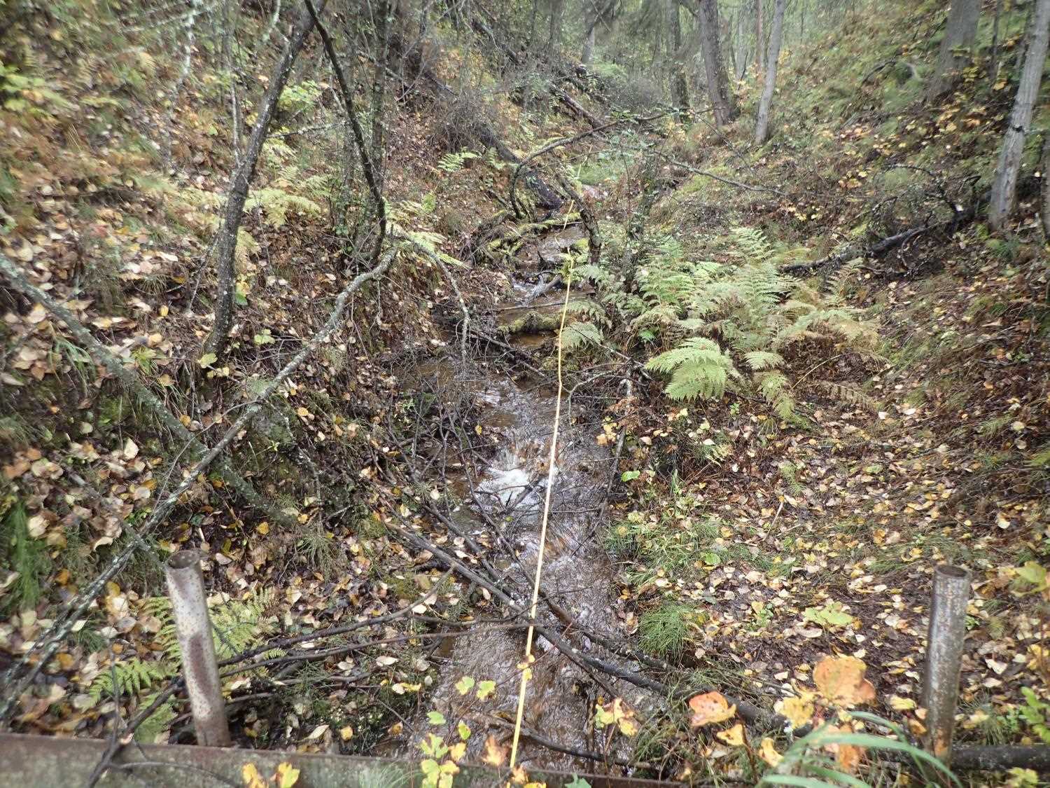
Stream Name: Unnamed
Elevation:
Site Comments: None
arrow to the right of the survey date below to choose a different report for this site.
Survey MSB23-MS033
Project Supervisor: Michael Mazzacavallo, Alaska Department of Fish and Game
— Anchorage, AK
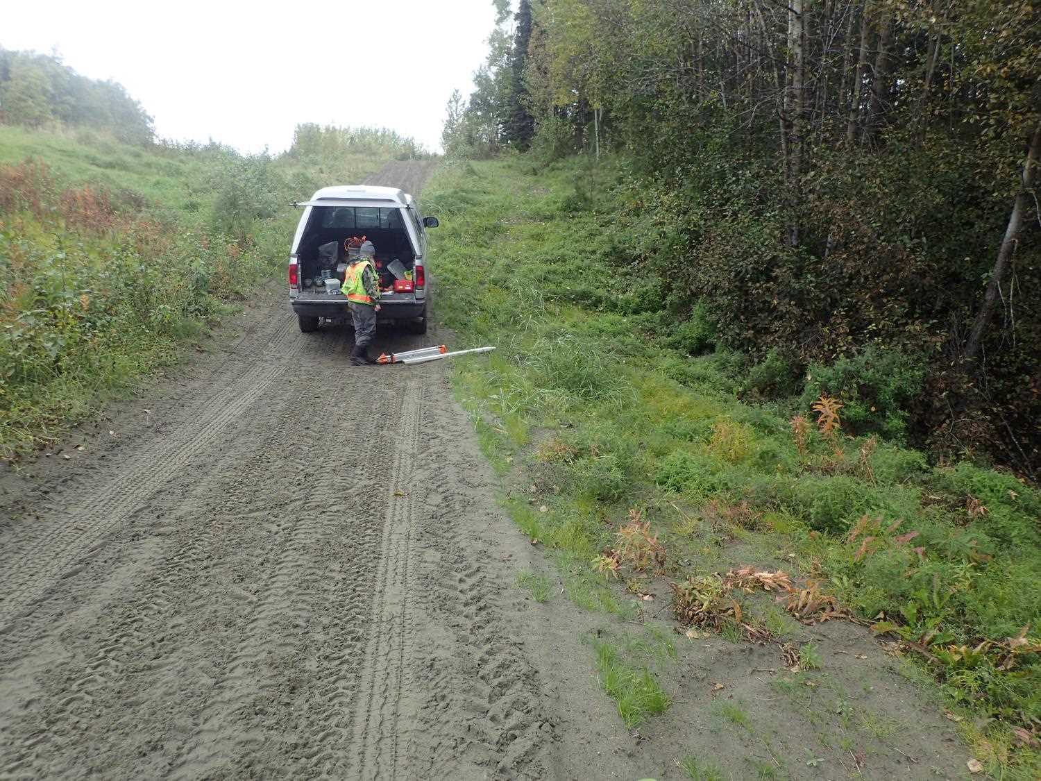
Observers: Michael Mazzacavallo, Kat Leavitt, Beth Evers
Overall Fish Passage Rating:
Tidal: No
Backwatered: No
Step Pools: No
Construction Year:
Site Observations:
- Culvert gradient gray
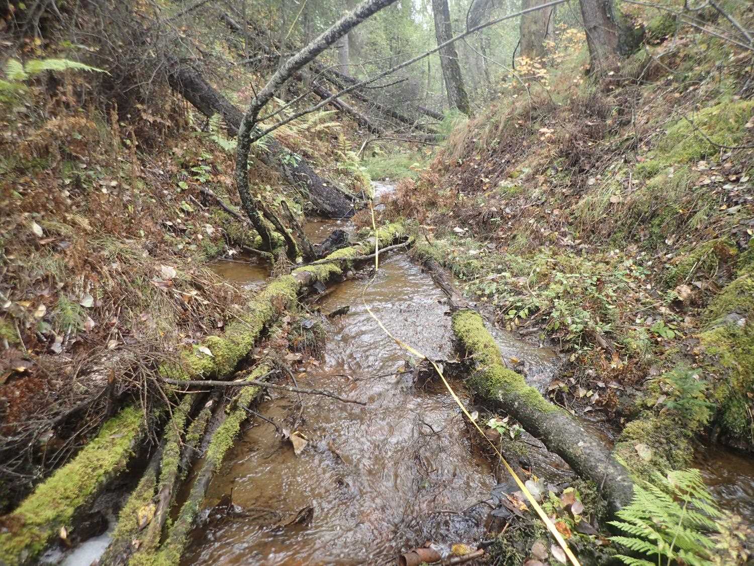
Comments: Fish spotted upstream and downstream
Culvert Measurements
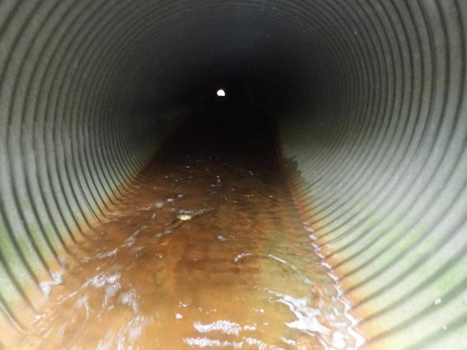
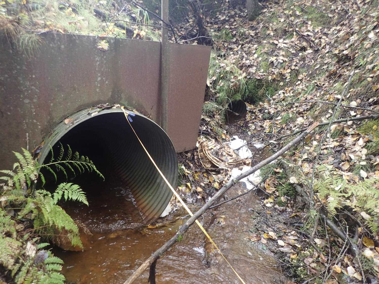
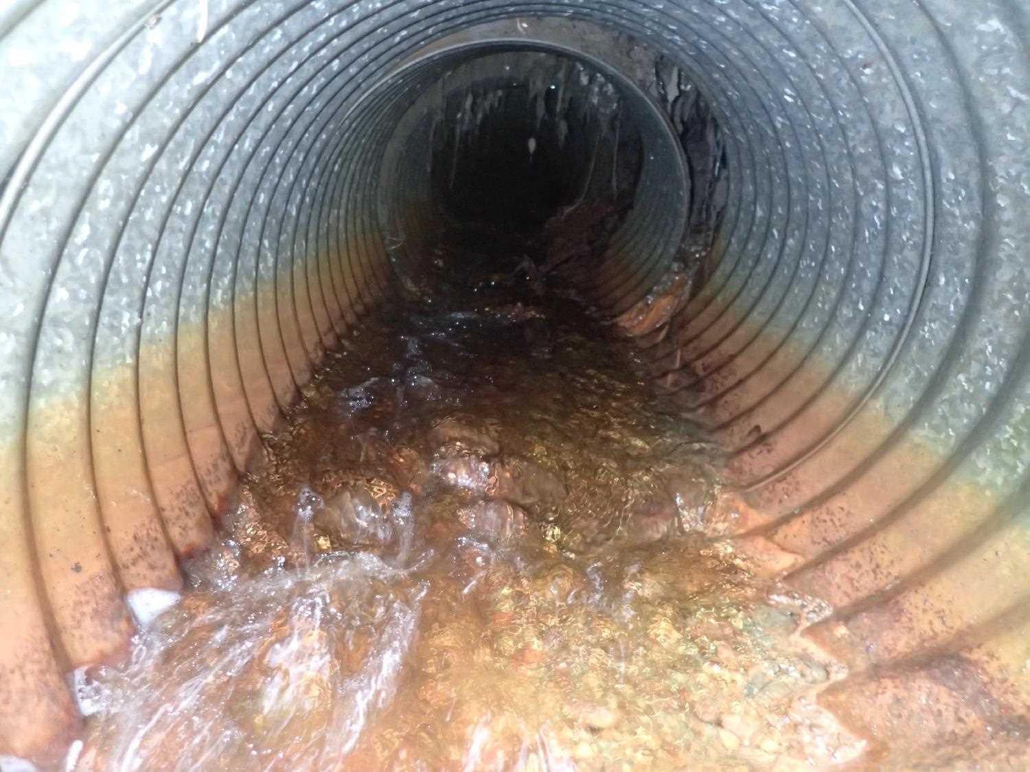
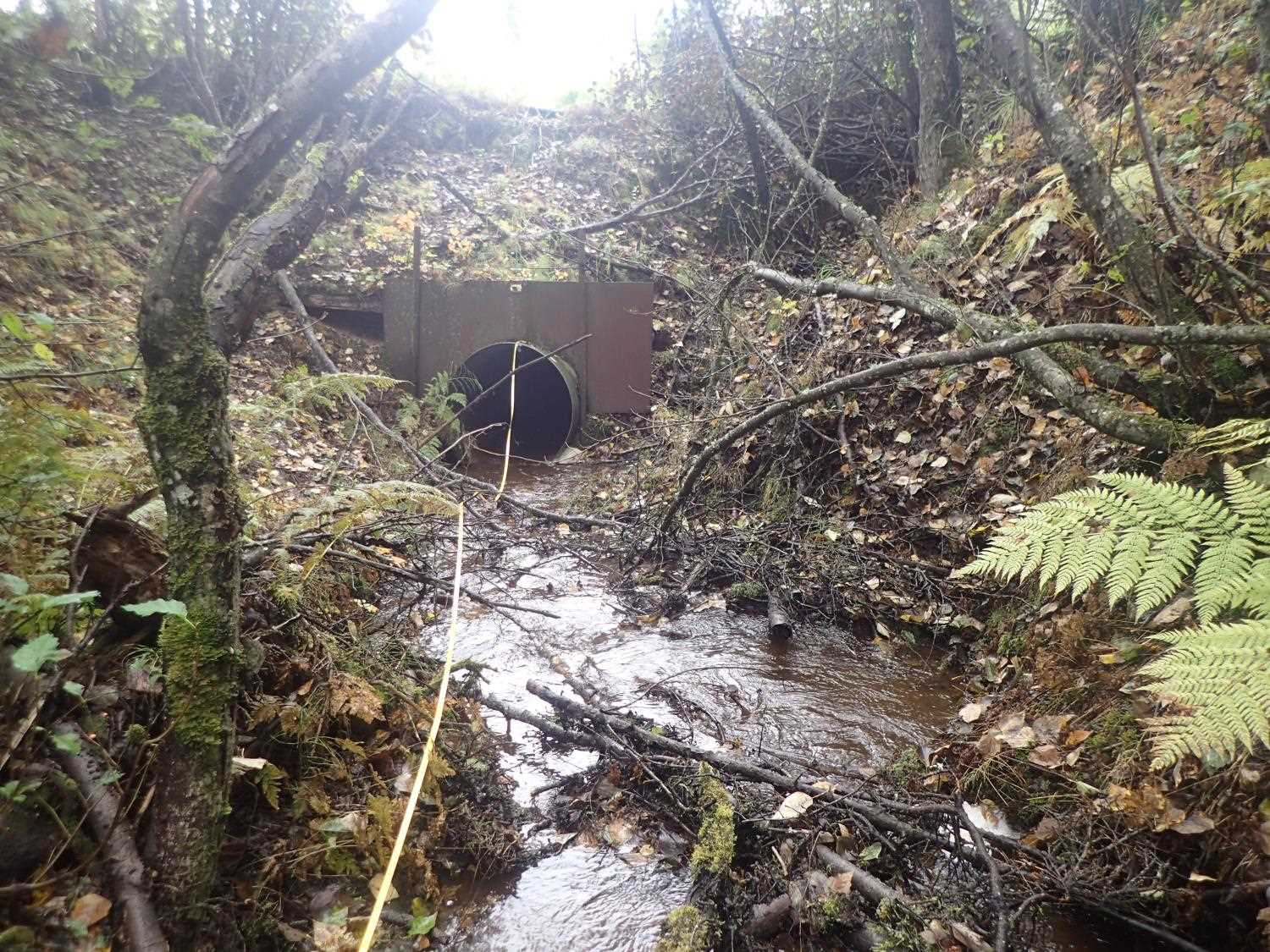
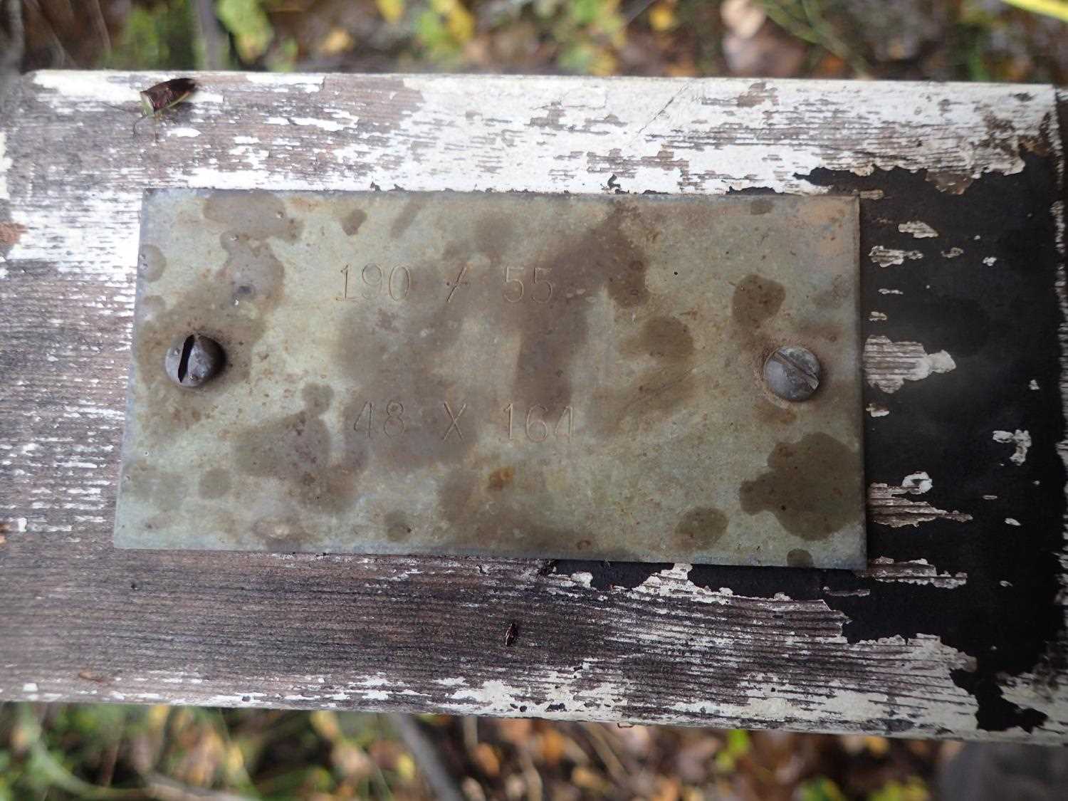
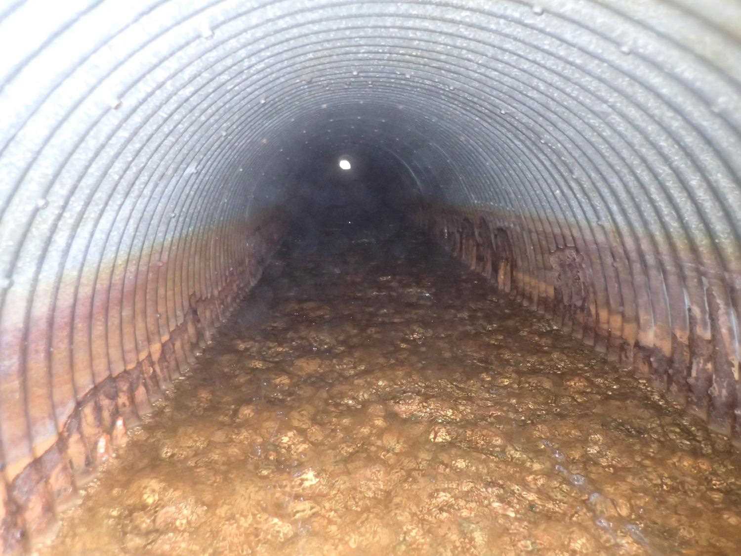
| ID: 1 | Structure Type: Circular pipe (Corrugated steel) | Fish Passage Rating: | ||||||||||||||||||||||||||||||||||||||||||
|
|
|
||||||||||||||||||||||||||||||||||||||||||
Comments: Sagging top thorugh the middle. Projecting with headwall (debris control only) |
||||||||||||||||||||||||||||||||||||||||||||
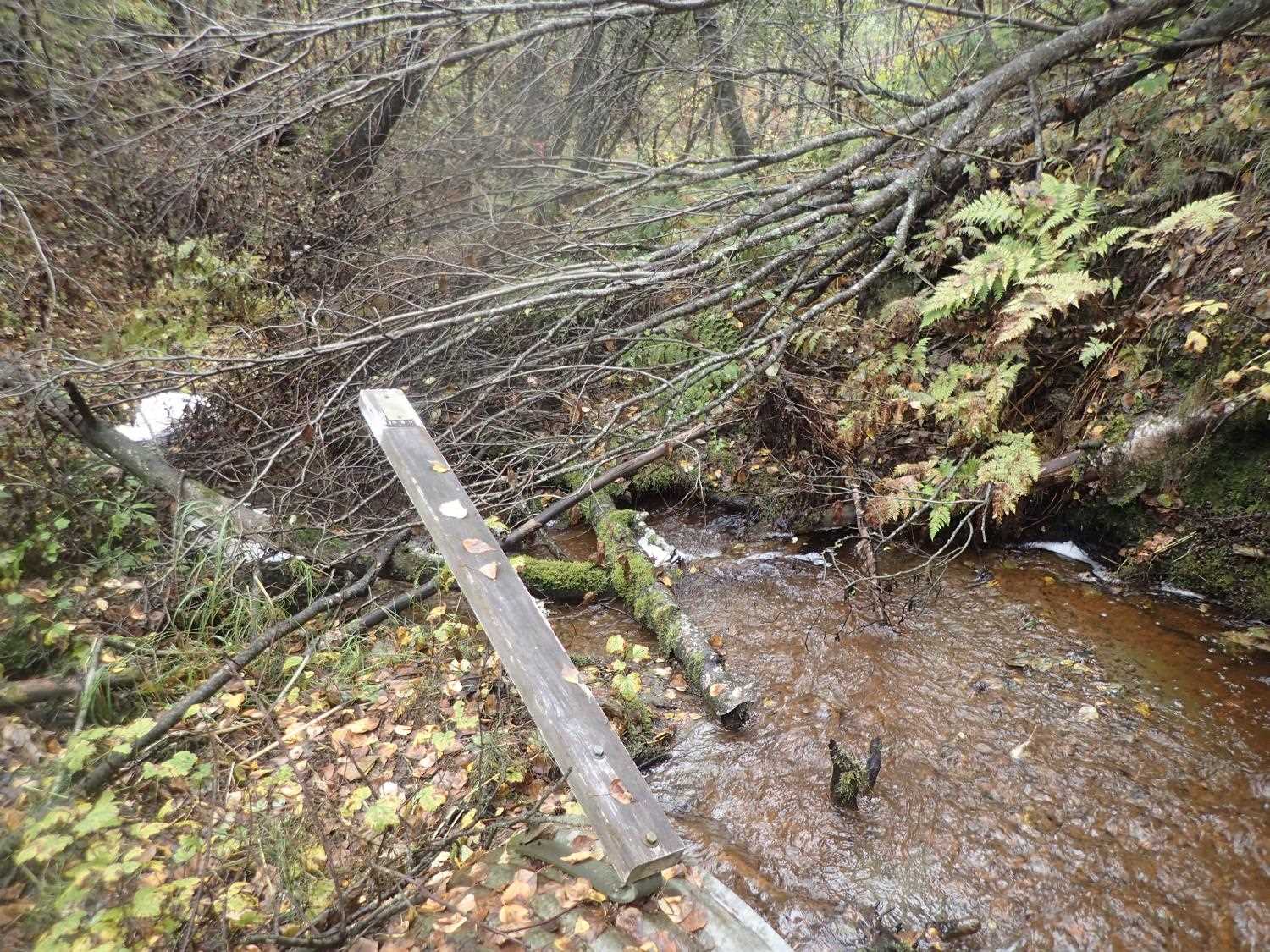
Culvert Observations:
|
||||||||||||||||||||||||||||||||||||||||||||
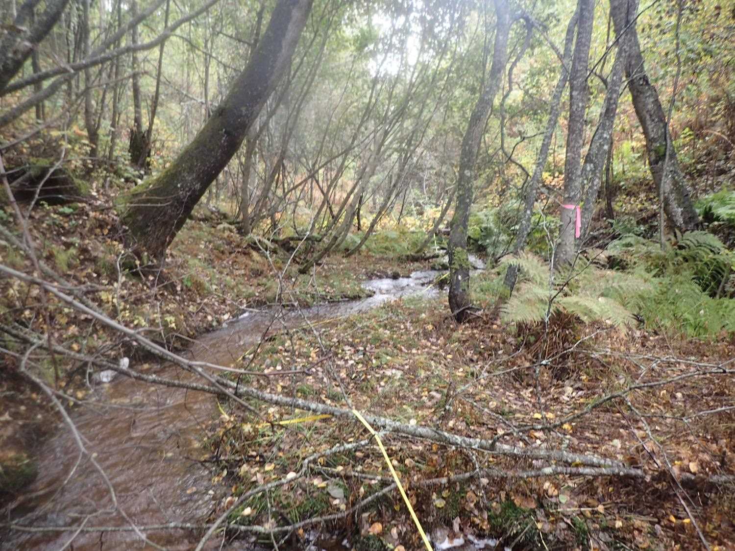
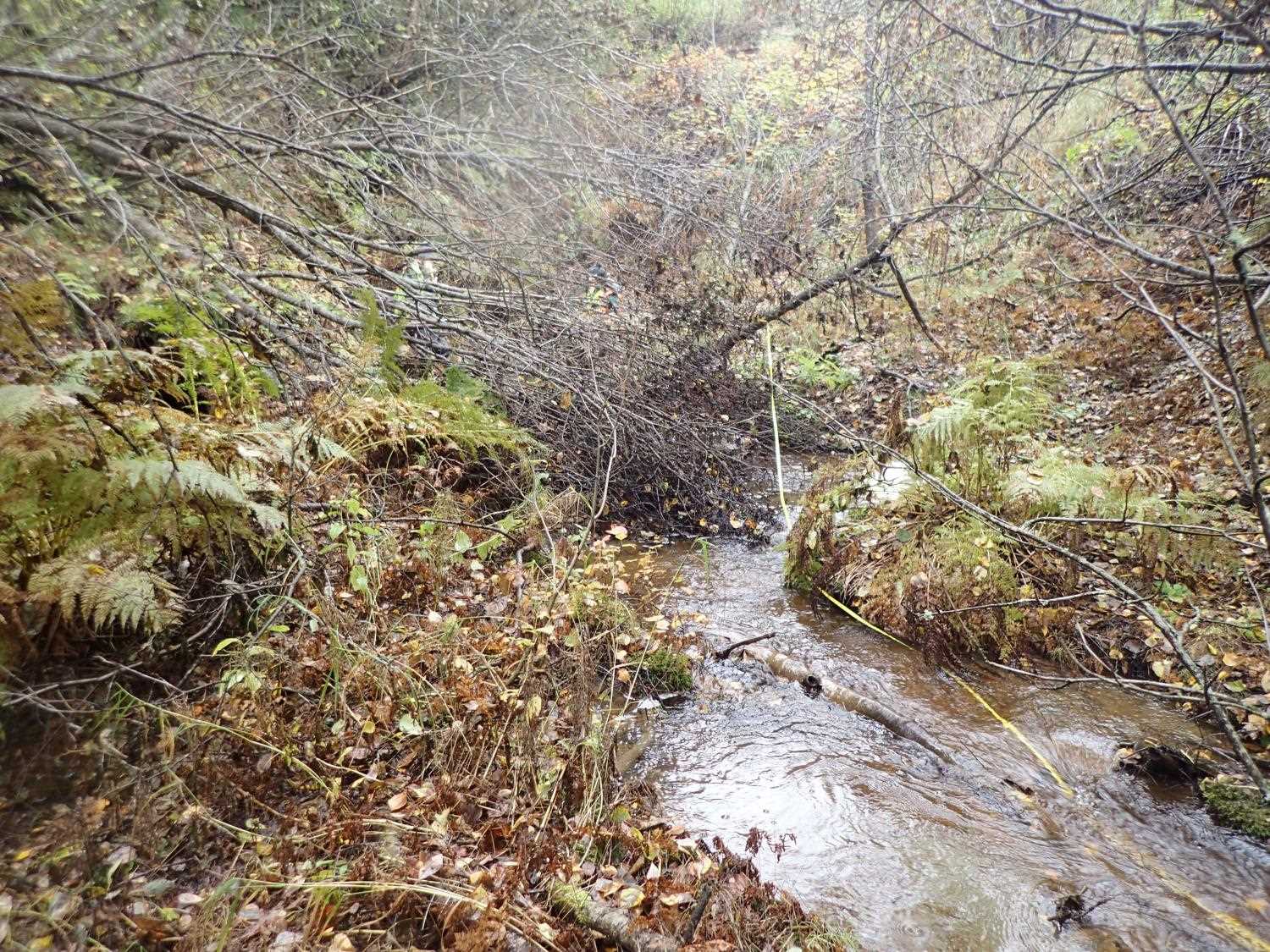
Stream Measurements
|
|
| Stream Width Type | Distance From Crossing (ft) |
Stream Width (ft) |
|---|---|---|
| Upstream ordinary high water | 27.0 | 5.60 |
| Upstream ordinary high water | 50.0 | 5.10 |
| Upstream ordinary high water | 69.0 | 3.80 |
| Upstream ordinary high water | 96.0 | 3.20 |
Elevations
| Locator ID | Culvert Number |
River Distance (ft)1 |
Distance From Crossing (ft)2 |
Relative Elevation (ft) |
|---|---|---|---|---|
| Road Elev | 111.23 | |||
| U/S Water Surface Elev | 8.00 | 86.85 | ||
| U/S Thalweg | 8.00 | 86.01 | ||
| U/S Thalweg | 42.00 | 85.35 | ||
| U/S Water Surface Elev | 42.00 | 85.67 | ||
| U/S Thalweg | 66.00 | 84.36 | ||
| U/S Water Surface Elev | 66.00 | 84.83 | ||
| Inlet Culvert Invert | 100.00 | 82.77 | ||
| U/S Water Surface Elev | 100.00 | 83.18 | ||
| Inlet Culvert Top | 100.00 | 86.81 | ||
| Outlet Invert | 288.50 | 78.22 | ||
| D/S Water Surface Elev | 288.50 | 78.39 | ||
| Outlet Culvert Top | 288.50 | 80.78 | ||
| D/S Water Surface Elev | 311.50 | 76.46 | ||
| D/S Thalweg | 311.50 | 77.04 | ||
| D/S Thalweg | 362.50 | 75.96 | ||
| D/S Water Surface Elev | 362.50 | 76.25 | ||
| D/S Thalweg | 387.50 | 74.60 | ||
| D/S Water Surface Elev | 387.50 | 75.22 |
Notes:
- River distance is measured continuously throughout the survey reach along the thalweg of the stream.
- Measured from each end of the crossing along the thalweg of the stream.
Fish Sampling Efforts
No fish sampling occurred during this survey.
Fish Observations
No fish observations occurred during this survey.
Photos
Questions or comments about this report can be directed to dfg.dsf.webmaster@alaska.gov