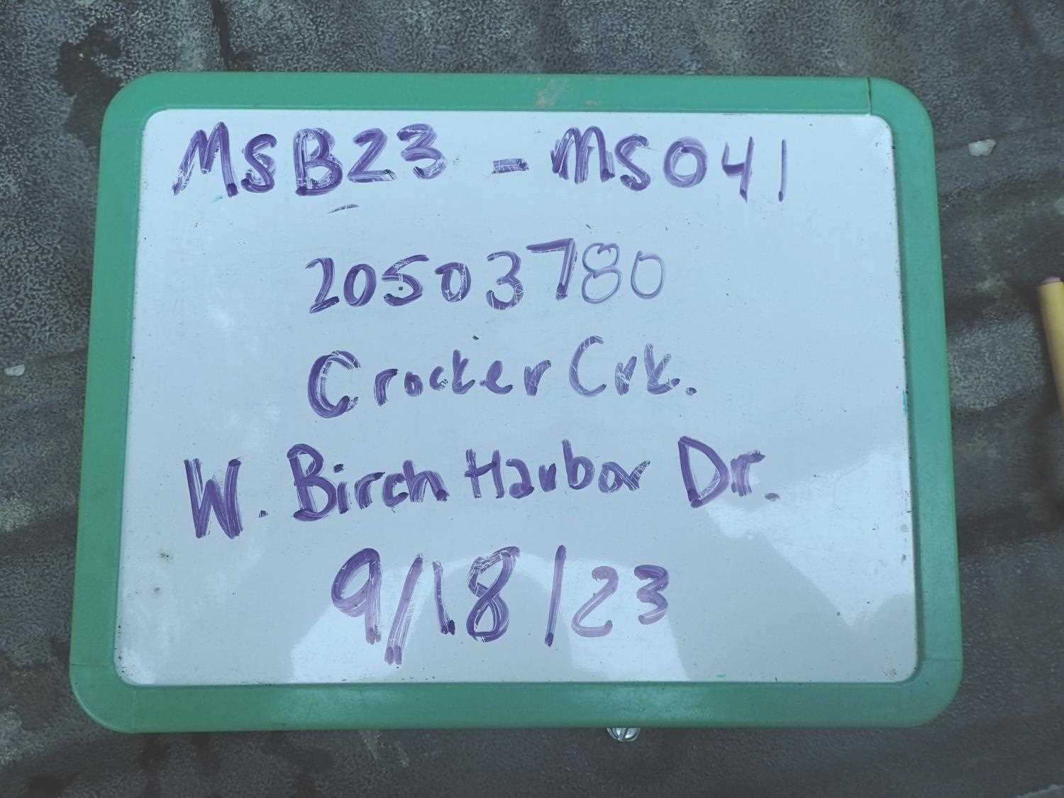
Fish Passage Site 20503780
Coordinates (dec. deg.): 61.52926°, -149.60126°
Legal Description: S017N002W26
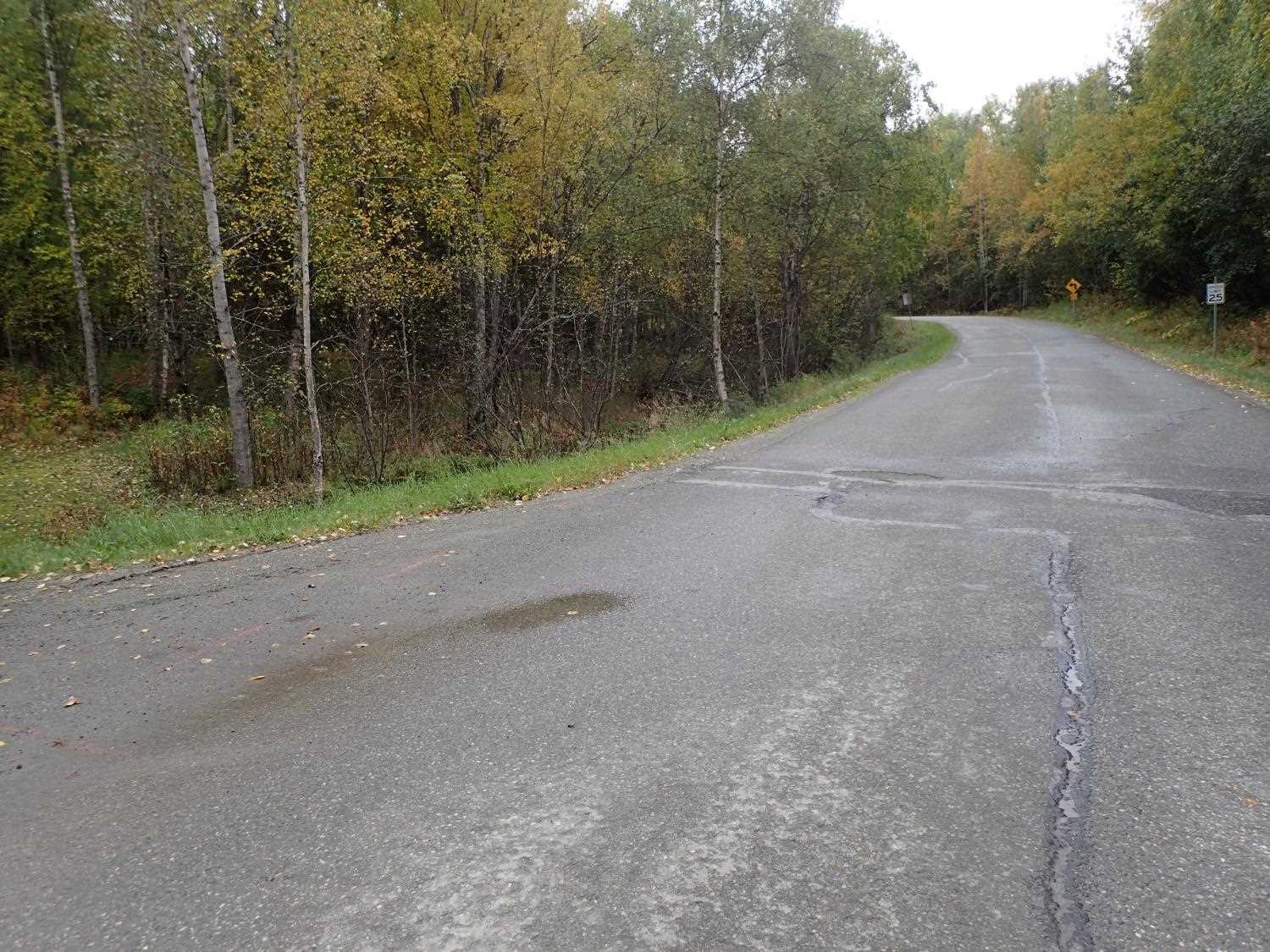
Region: South Central
Road Name: W Birch Harbor Dr
Datum: NAD83
Quad Name / ITM: Anchorage C-7
AWC Stream #: 247-50-10305
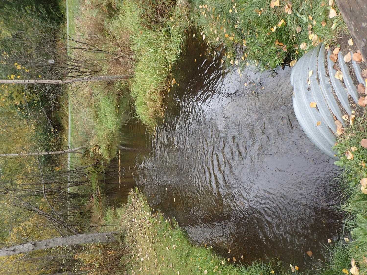
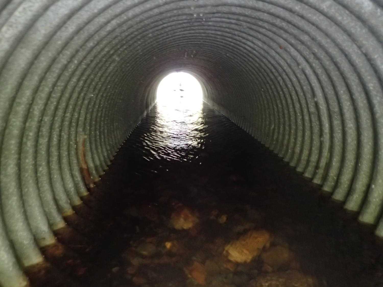
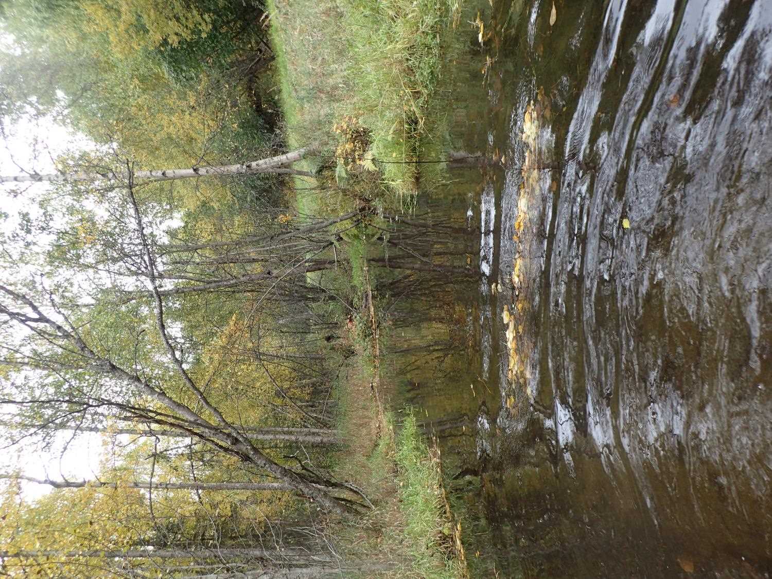
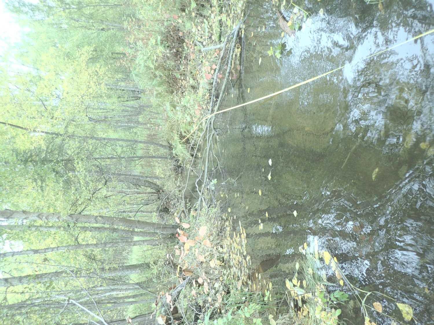
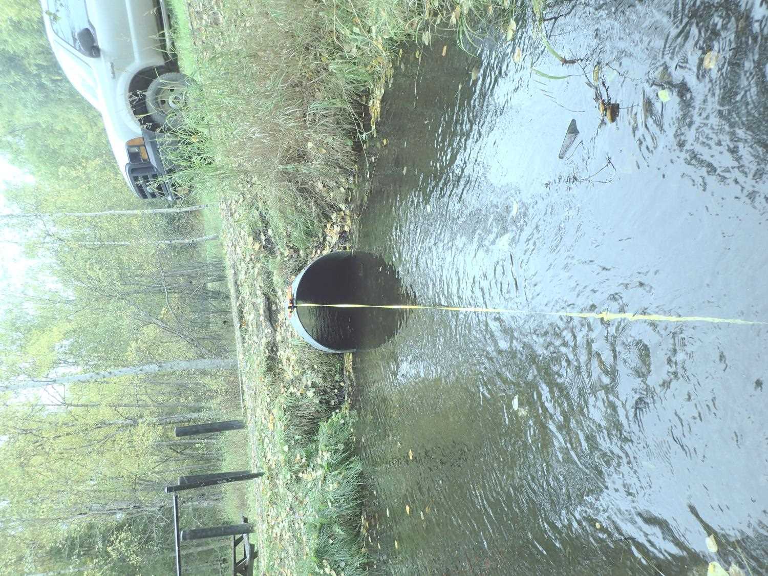
Stream Name: Crocker Creek
Elevation:
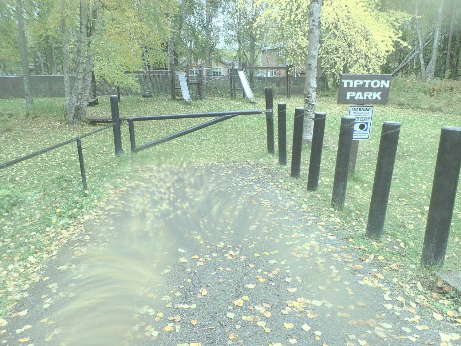
Site Comments: Tipton Park Access
arrow to the right of the survey date below to choose a different report for this site.
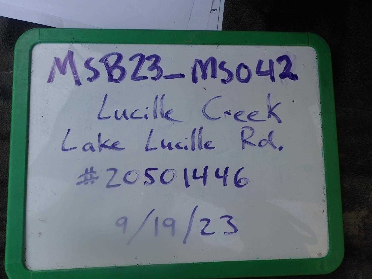
Survey MSB23-MS041
Project Supervisor: Michael Mazzacavallo, Alaska Department of Fish and Game
— Anchorage, AK
Observers: Michael Mazzacavallo, Kevin Keith, Beth Evers
Overall Fish Passage Rating:
Tidal: No
Backwatered: No
Step Pools: No
Construction Year:
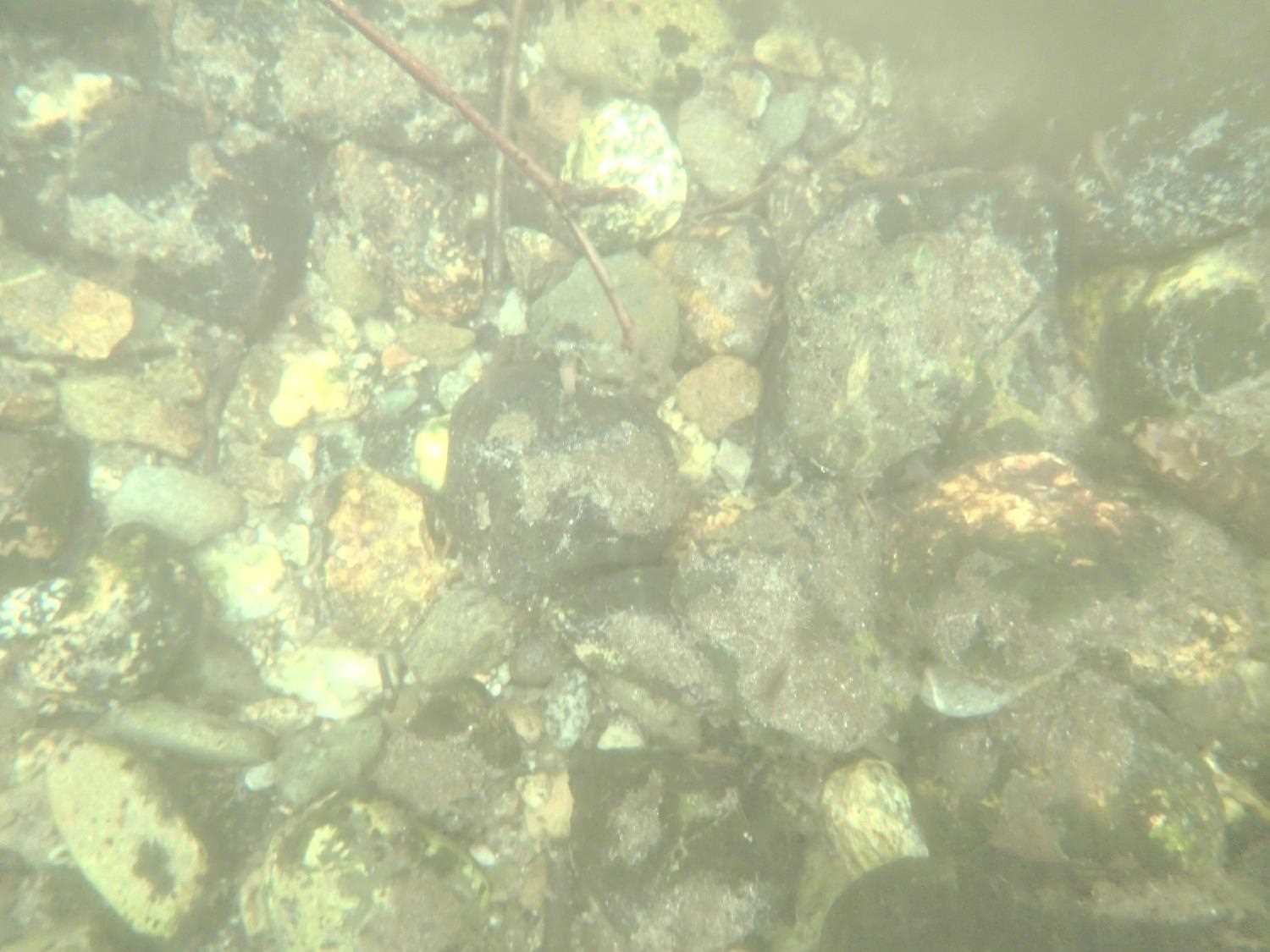
Site Observations:
- Culvert gradient gray
- Constriction ratio gray
Comments: Observed a large dolly, did not catch any.
Culvert Measurements
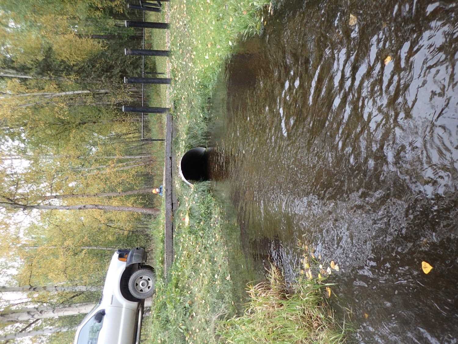
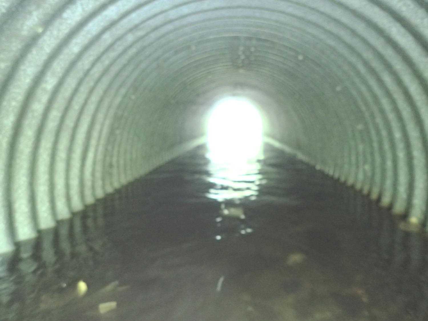
| ID: 1 | Structure Type: Circular pipe (Structural steel plate) | Fish Passage Rating: | ||||||||||||||||||||||||||||||||||||||||||
|
|
|
||||||||||||||||||||||||||||||||||||||||||
Comments: Used W/S to calculate culvert gradient because inlet top was lower then outlet top of pipe. Resurveyed 3x to confirm. |
||||||||||||||||||||||||||||||||||||||||||||
Culvert Observations:
|
||||||||||||||||||||||||||||||||||||||||||||
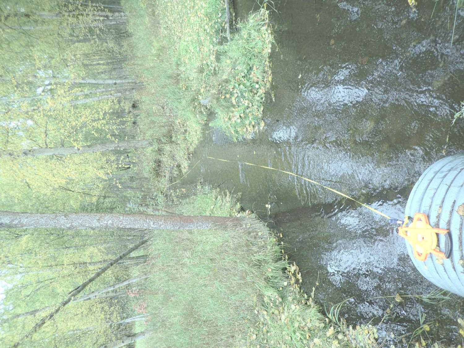
Stream Measurements
|
|
| Stream Width Type | Distance From Crossing (ft) |
Stream Width (ft) |
|---|---|---|
| Upstream ordinary high water | 8.0 | 10.50 |
| Upstream ordinary high water | 15.0 | 12.00 |
| Upstream ordinary high water | 26.0 | 10.80 |
| Upstream ordinary high water | 67.0 | 7.00 |
Elevations
| Locator ID | Culvert Number |
River Distance (ft)1 |
Distance From Crossing (ft)2 |
Relative Elevation (ft) |
|---|---|---|---|---|
| Road Elev | 96.70 | |||
| U/S Thalweg | 0.00 | 94.21 | ||
| U/S Water Surface Elev | 0.00 | 94.69 | ||
| U/S Water Surface Elev | 20.00 | 92.45 | ||
| U/S Thalweg | 20.00 | 92.63 | ||
| U/S Thalweg | 50.00 | 92.61 | ||
| U/S Water Surface Elev | 50.00 | 93.33 | ||
| U/S Water Surface Elev | 100.00 | 93.21 | ||
| Inlet Culvert Top | 100.00 | 95.02 | ||
| Inlet Culvert Invert | 100.00 | 92.31 | ||
| Outlet Invert | 120.05 | 92.37 | ||
| Outlet Culvert Top | 120.05 | 95.31 | ||
| D/S Water Surface Elev | 120.05 | 93.10 | ||
| D/S Water Surface Elev | 207.05 | 93.14 | ||
| D/S Thalweg | 207.05 | 92.01 | ||
| D/S Thalweg | 232.05 | 91.98 | ||
| D/S Water Surface Elev | 232.05 | 92.82 |
Notes:
- River distance is measured continuously throughout the survey reach along the thalweg of the stream.
- Measured from each end of the crossing along the thalweg of the stream.
Fish Sampling Efforts
| Gear Type: Minnow Trap (A) | Trap Duration(h): 1.1666666 | |
| Channel Type: Main Channel (>50% of water flow) | ||
| Gear Type: Minnow Trap (B) | Trap Duration(h): 1.1666666 | |
| Channel Type: Main Channel (>50% of water flow) | ||
Fish Observations
| Species: juvenile Dolly Varden | Life History: | ||
| Total Fish Observed: 1 | Fish Measured: | Fork Lengths (mm) Min: Max: Mean: | |
| Collected/Observed by Gear Type: Downstream Minnow Trap (0) Upstream Minnow Trap (1) | |||
Photos
Questions or comments about this report can be directed to dfg.dsf.webmaster@alaska.gov