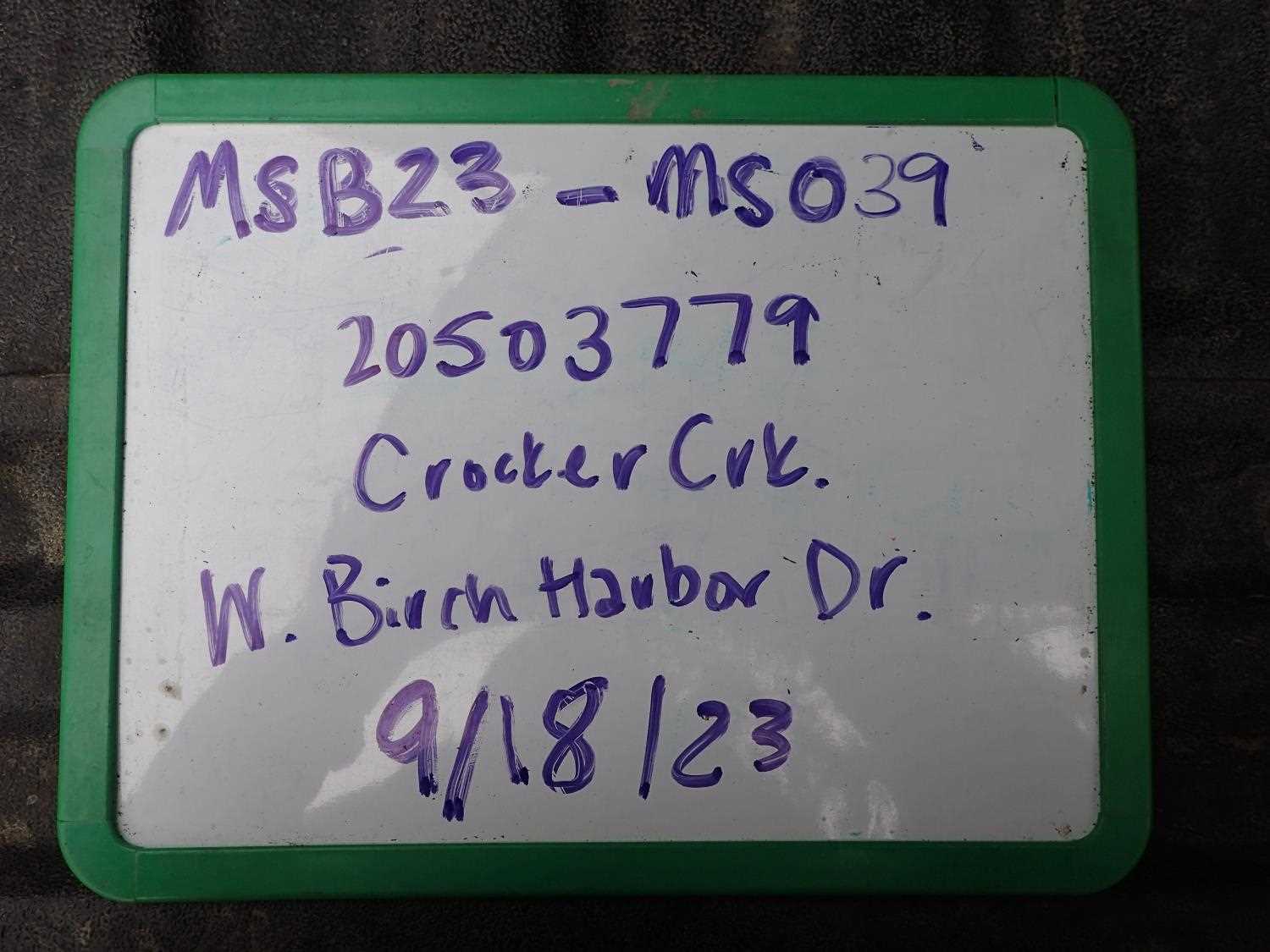
Fish Passage Site 20503779
Coordinates (dec. deg.): 61.52872°, -149.59915°
Legal Description: S017N002W26
Region: South Central
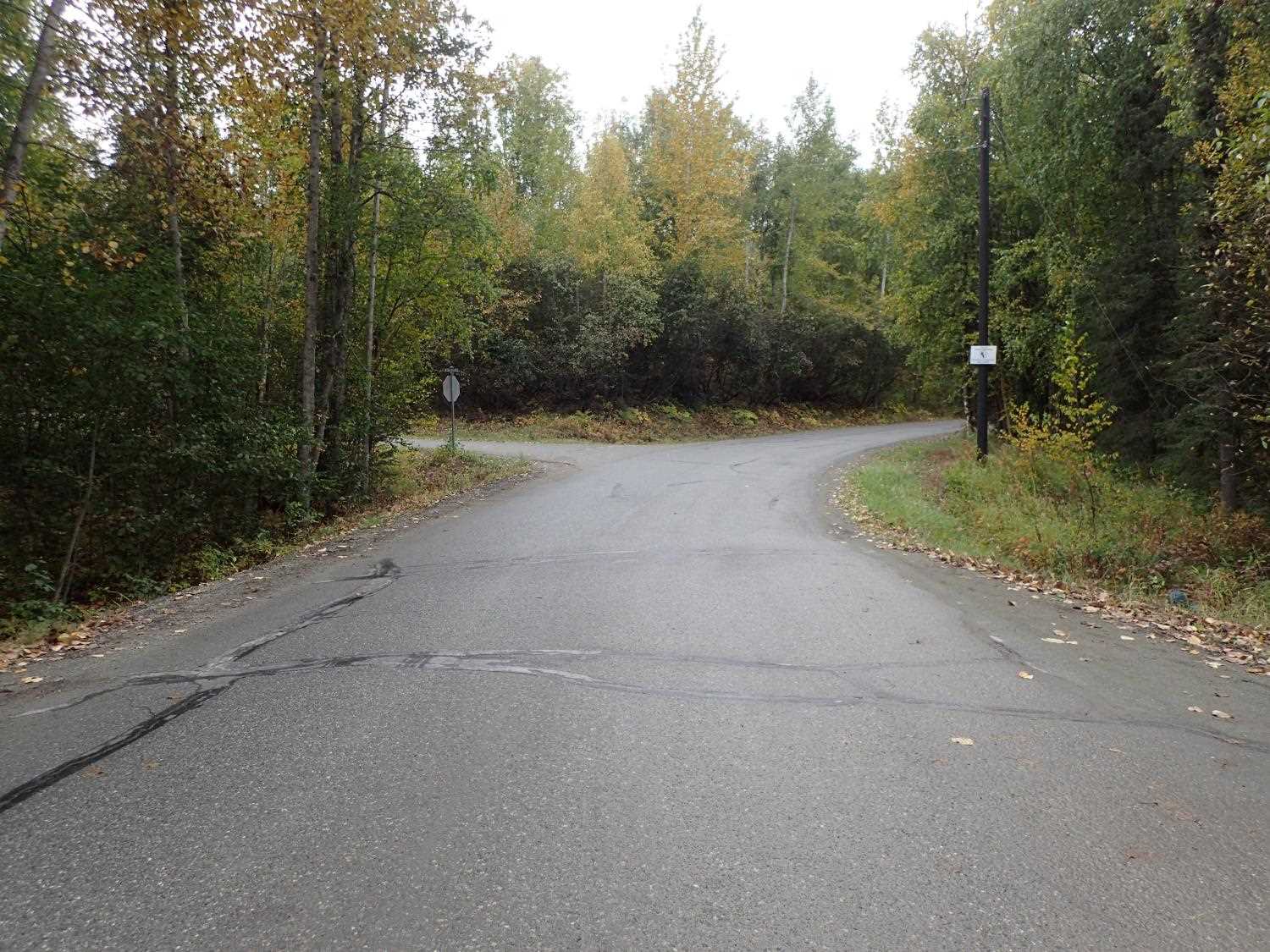
Road Name: West Birch Harbor Drive
Datum: NAD83
Quad Name / ITM: Anchorage C-7
AWC Stream #: 247-50-10305
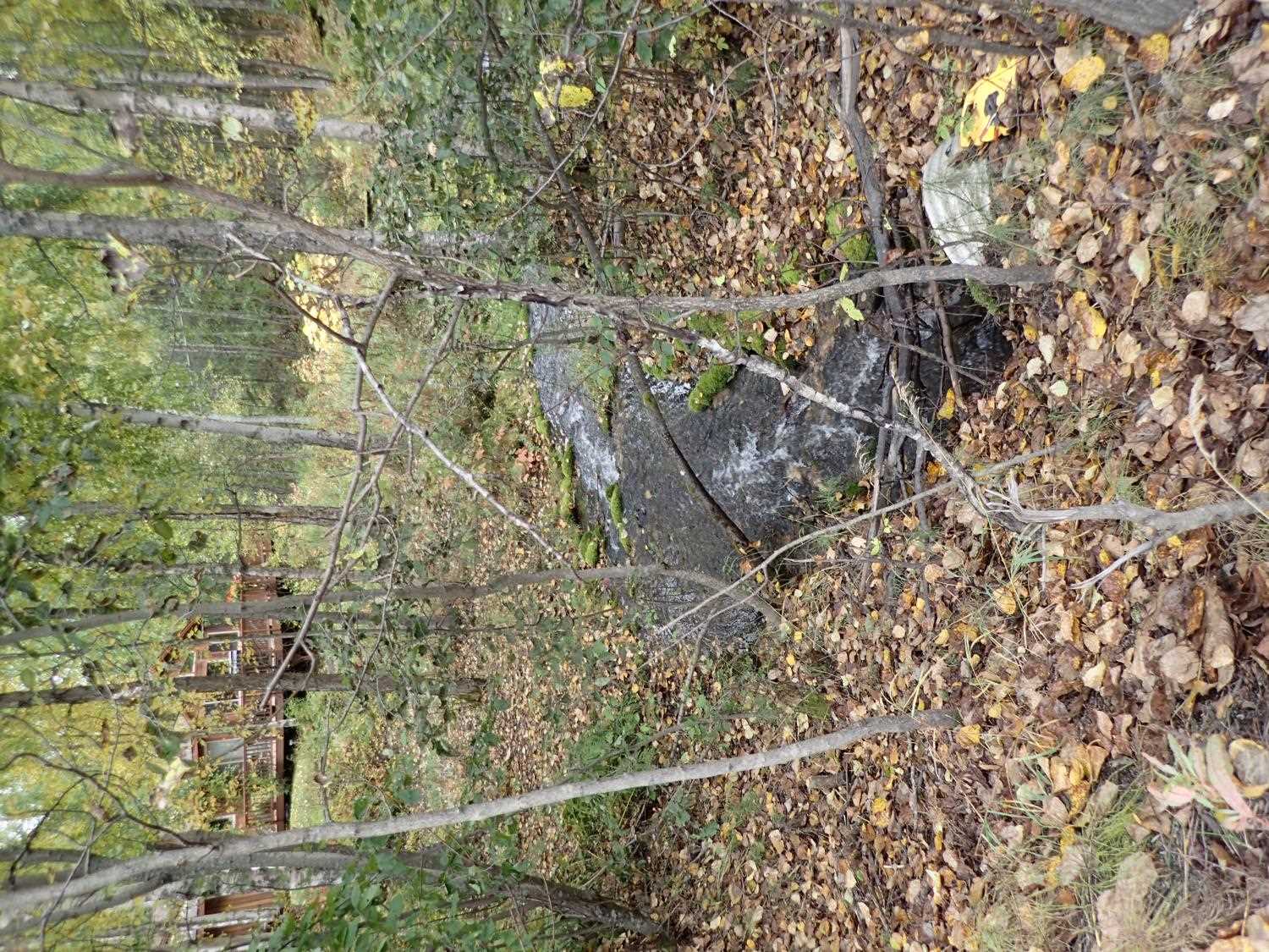
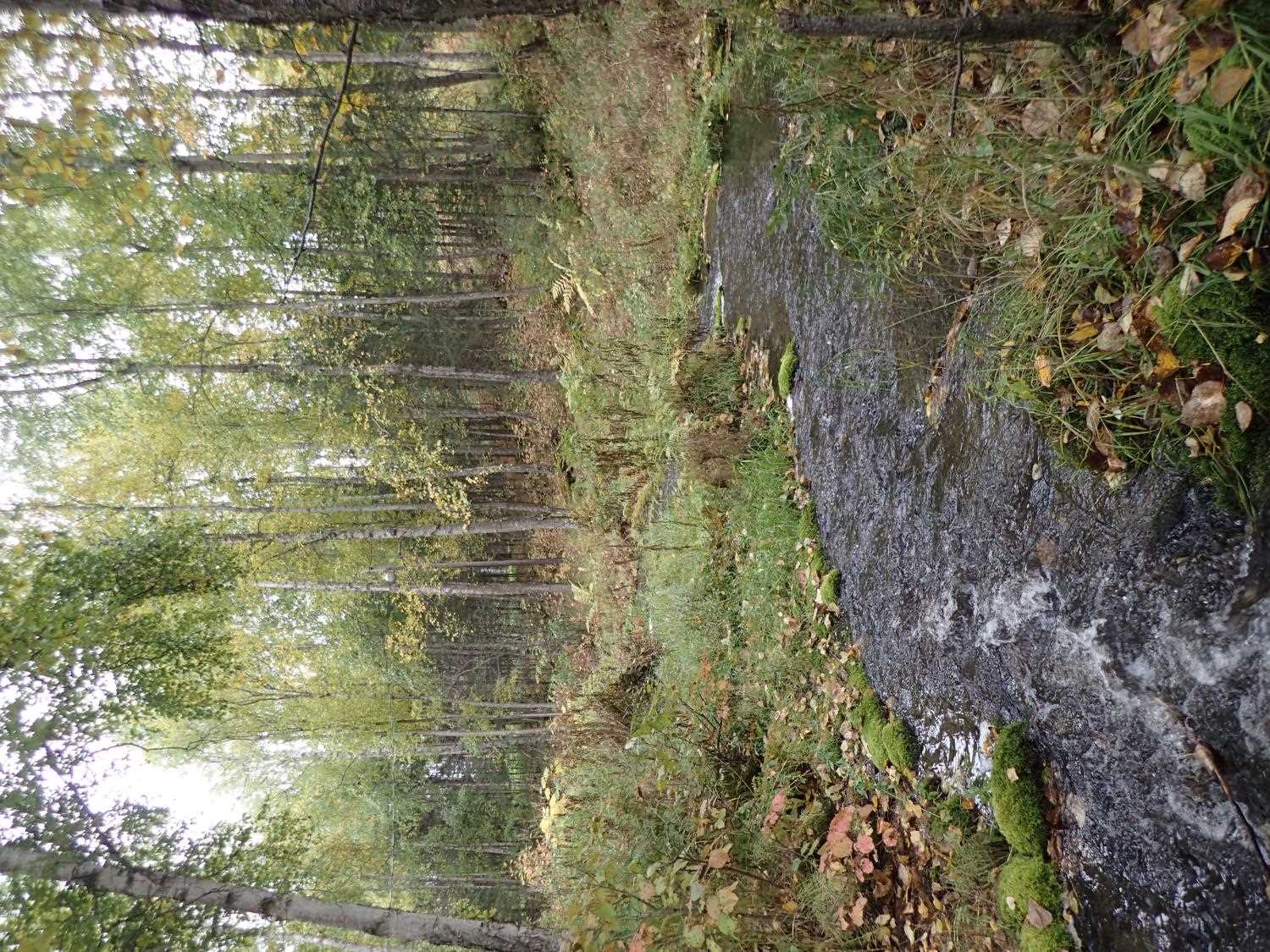
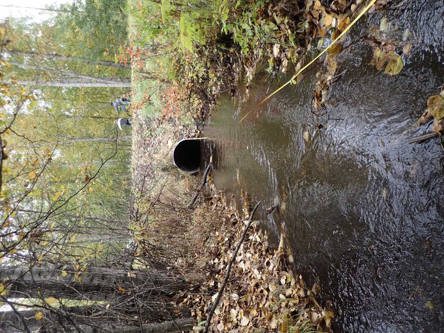
Stream Name: Crocker Creek
Elevation:
Site Comments: None
arrow to the right of the survey date below to choose a different report for this site.
Survey MSB23-MS039
Project Supervisor: Michael Mazzacavallo, Alaska Department of Fish and Game
— Anchorage, AK
Observers: Michael Mazzacavallo, Kat Leavitt, Beth Evers
Overall Fish Passage Rating:
Tidal: No
Backwatered: No
Step Pools: No
Construction Year:
Site Observations:
- Constriction ratio red
- Culvert gradient gray
- Inlet perch
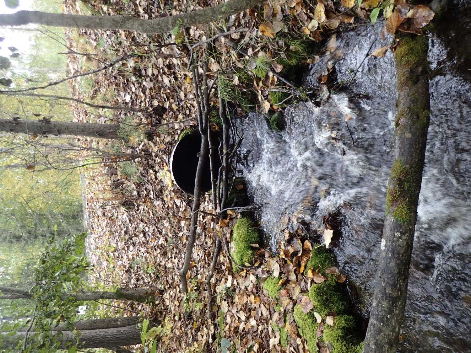
Comments: Stream forks off into pool that drains into a small culvert and feeds into main inlet.Traps were placed for fish, zero fish were caught.
Culvert Measurements
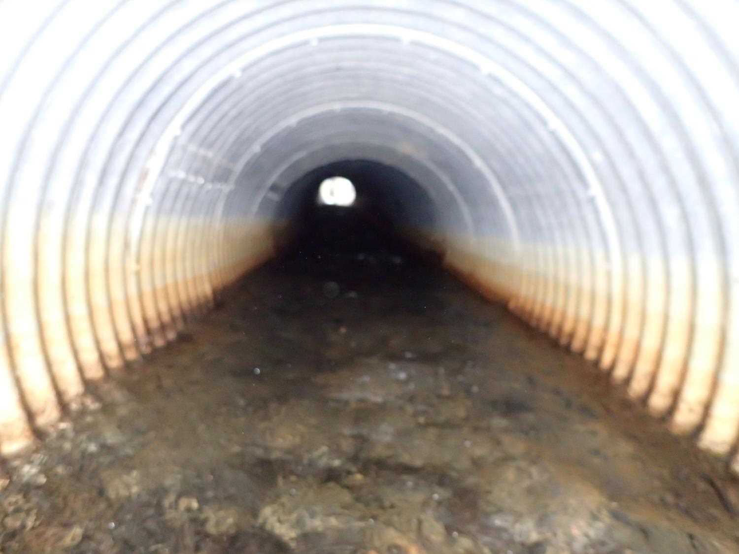
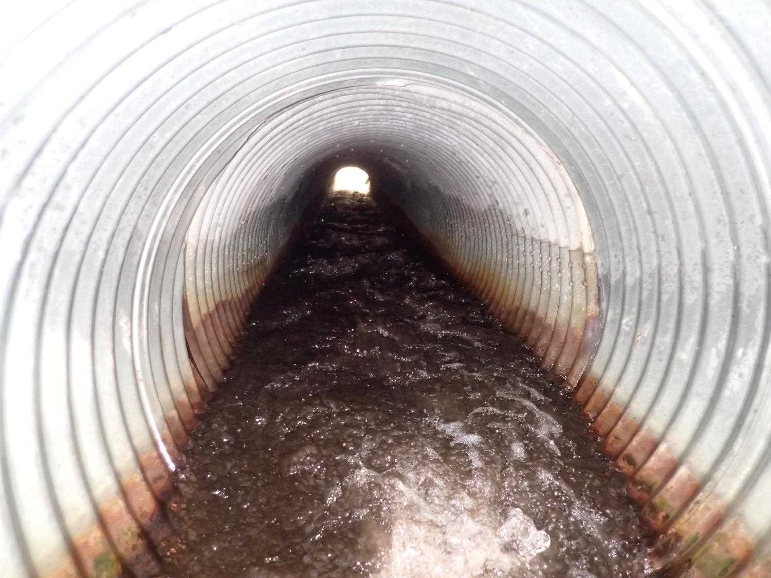
| ID: 1 | Structure Type: Circular pipe (Corrugated aluminum) | Fish Passage Rating: | ||||||||||||||||||||||||||||||||||||||||||
|
|
|
||||||||||||||||||||||||||||||||||||||||||
Comments: The length of the pipe is made of two pipes at the inlet (5.2ft CIR), the remainder is structural plated round pipe. The 5.2ft inlet section is installed at a steeper gradient causing a hydrolic jump near the inlet. |
||||||||||||||||||||||||||||||||||||||||||||
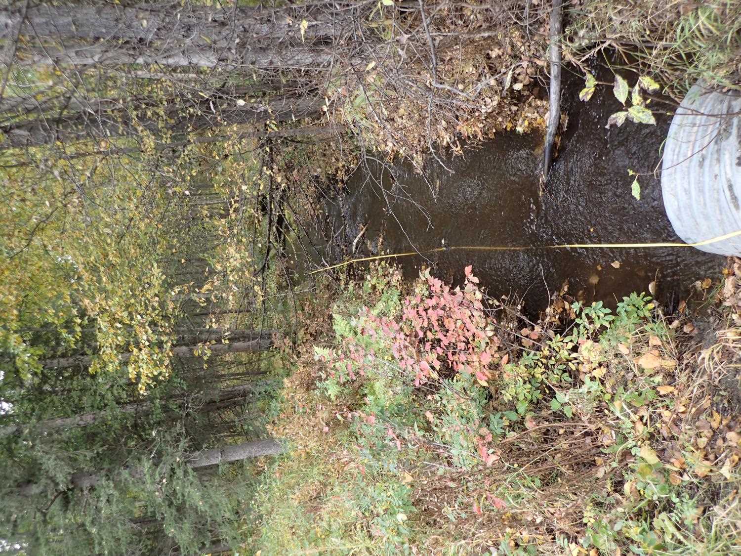
Culvert Observations:
|
||||||||||||||||||||||||||||||||||||||||||||
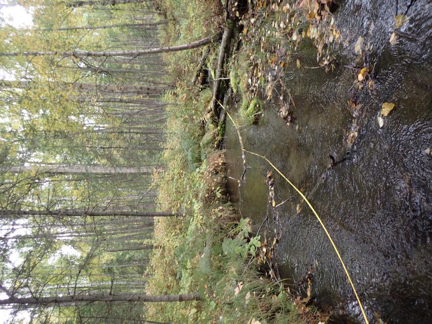
Stream Measurements
|
|
| Stream Width Type | Distance From Crossing (ft) |
Stream Width (ft) |
|---|---|---|
| Upstream ordinary high water | 11.0 | 9.70 |
| Upstream ordinary high water | 21.0 | 13.60 |
| Upstream ordinary high water | 49.0 | 10.60 |
| Upstream ordinary high water | 72.0 | 7.40 |
Elevations
| Locator ID | Culvert Number |
River Distance (ft)1 |
Distance From Crossing (ft)2 |
Relative Elevation (ft) |
|---|---|---|---|---|
| Road Elev | 99.71 | |||
| U/S Water Surface Elev | 0.00 | 94.56 | ||
| U/S Thalweg | 0.00 | 94.10 | ||
| U/S Thalweg | 29.00 | 93.59 | ||
| U/S Water Surface Elev | 29.00 | 94.28 | ||
| U/S Water Surface Elev | 45.00 | 94.19 | ||
| U/S Thalweg | 45.00 | 93.44 | ||
| U/S Water Surface Elev | 90.00 | 93.10 | ||
| U/S Thalweg | 90.00 | 92.41 | ||
| Inlet Culvert Invert | 116.00 | 92.15 | ||
| U/S Water Surface Elev | 116.00 | 92.76 | ||
| Inlet Culvert Top | 116.00 | 95.05 | ||
| Outlet Culvert Top | 171.96 | 92.54 | ||
| Outlet Invert | 171.96 | 89.93 | ||
| D/S Water Surface Elev | 171.96 | 90.45 | ||
| D/S Thalweg | 188.96 | 88.82 | ||
| D/S Water Surface Elev | 188.96 | 89.57 | ||
| D/S Thalweg | 217.96 | 87.68 | ||
| D/S Water Surface Elev | 217.96 | 88.29 | ||
| D/S Thalweg | 247.96 | 86.83 | ||
| D/S Water Surface Elev | 247.96 | 87.51 | ||
| D/S Thalweg | 291.96 | 85.57 | ||
| D/S Water Surface Elev | 291.96 | 85.92 |
Notes:
- River distance is measured continuously throughout the survey reach along the thalweg of the stream.
- Measured from each end of the crossing along the thalweg of the stream.
Fish Sampling Efforts
| Gear Type: Minnow Trap (A) | Trap Duration(h): 1.0 | |
| Channel Type: Main Channel (>50% of water flow) | ||
| Comments: Zero fish caught, trap placed 7 feet downstream | ||
| Gear Type: Minnow Trap (B) | Trap Duration(h): 1.0 | |
| Channel Type: Main Channel (>50% of water flow) | ||
| Comments: Zero fish caught in traps, trap was placed 7ft upstream. | ||
| Gear Type: Minnow Trap (C) | Trap Duration(h): 1.0 | |
| Channel Type: Main Channel (>50% of water flow) | ||
| Comments: 2 fish traps were placed in connecting pond, zero caught. | ||
Fish Observations
No fish observations occurred during this survey.
Photos
Questions or comments about this report can be directed to dfg.dsf.webmaster@alaska.gov