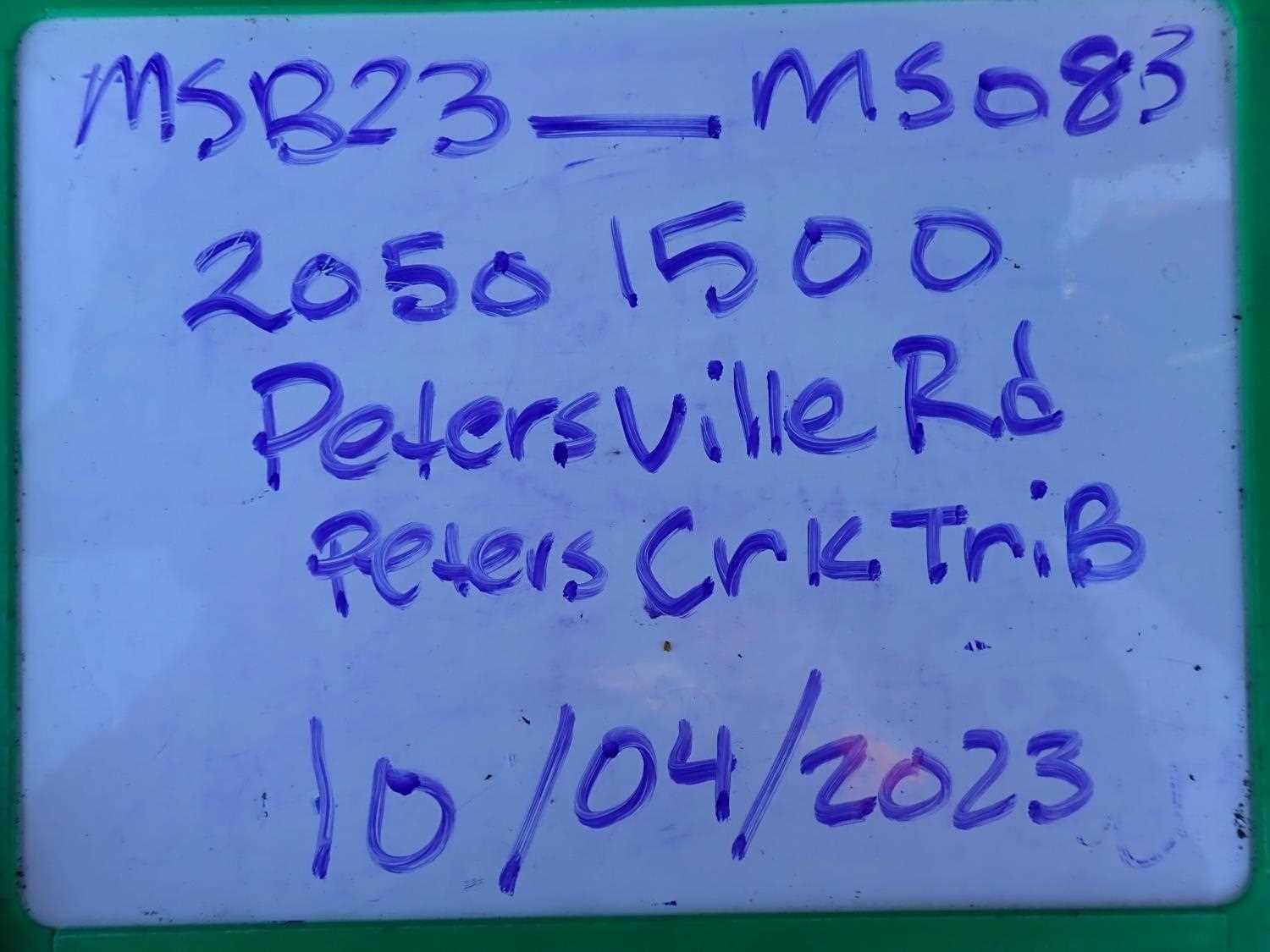
Fish Passage Site 20501500
Coordinates (dec. deg.): 62.48606°, -150.76567°
Legal Description: S028N008W28
Region: South Central
Road Name: Petersville Road
Datum: WGS84
Quad Name / ITM: Talkeetna B-2
AWC Stream #:
Stream Name: Peters Creek tributary
Elevation:
Site Comments: None
arrow to the right of the survey date below to choose a different report for this site.
Survey MSB23-MS083
Project Supervisor: Michael Mazzacavallo, Alaska Department of Fish and Game
— Anchorage, AK
Observers: Michael Mazzacavallo, Kat Leavitt, Beth Evers
Overall Fish Passage Rating:
Tidal:
Backwatered:
Step Pools:
Construction Year:
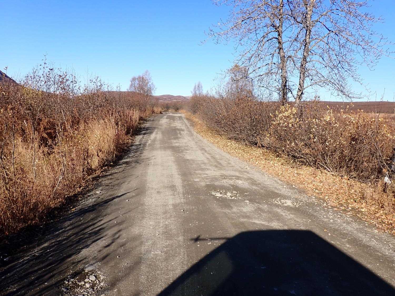
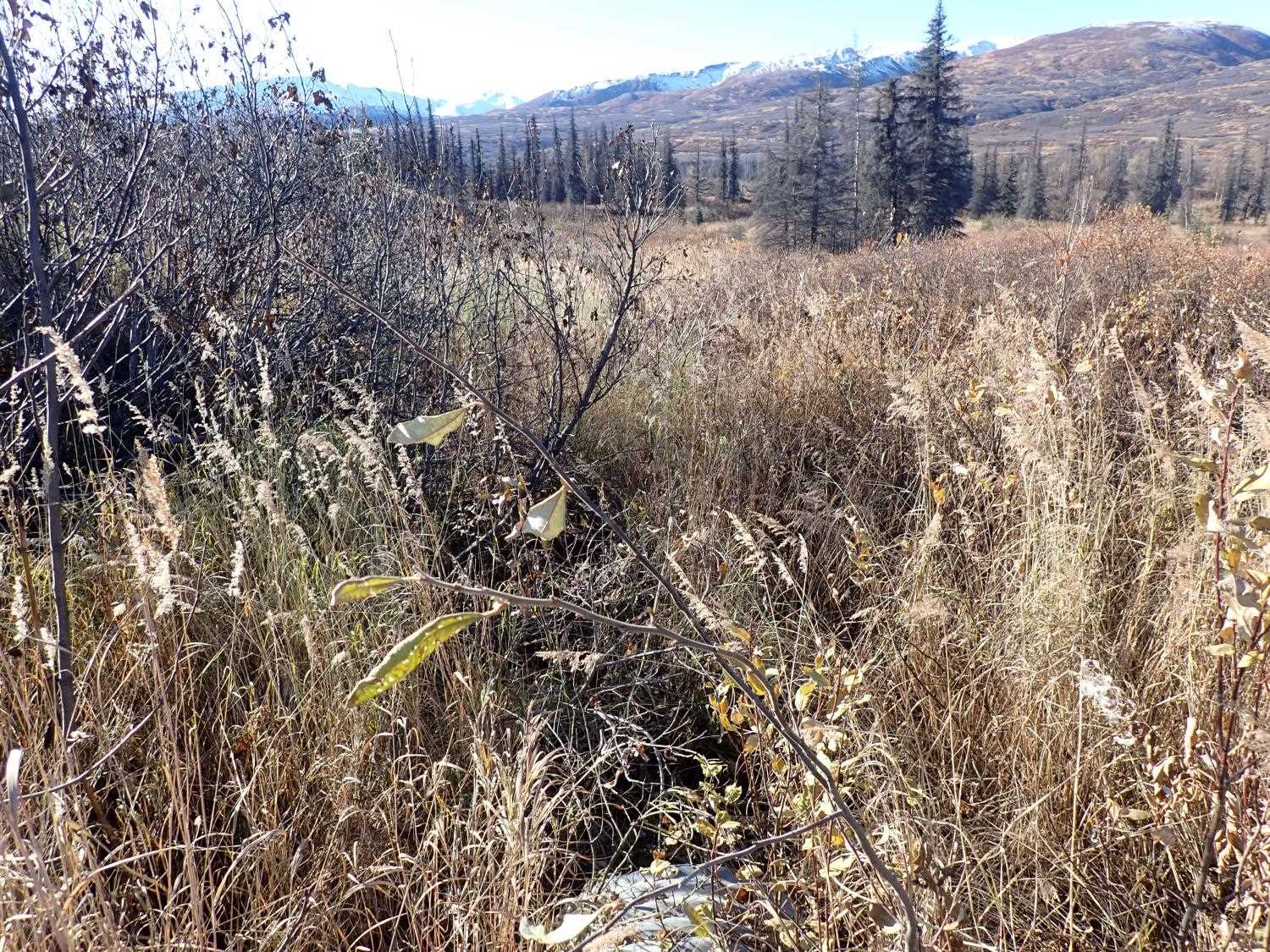
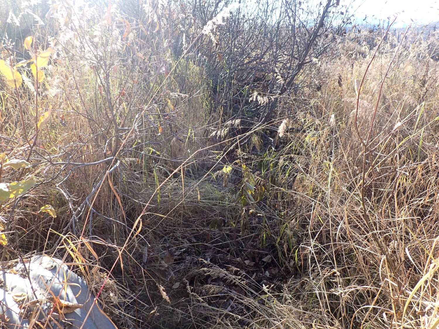
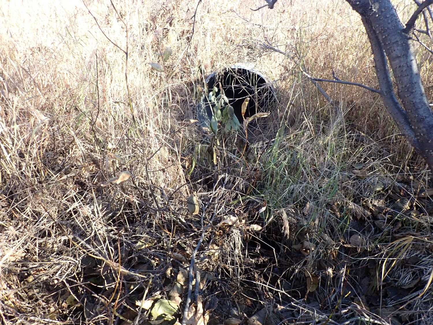
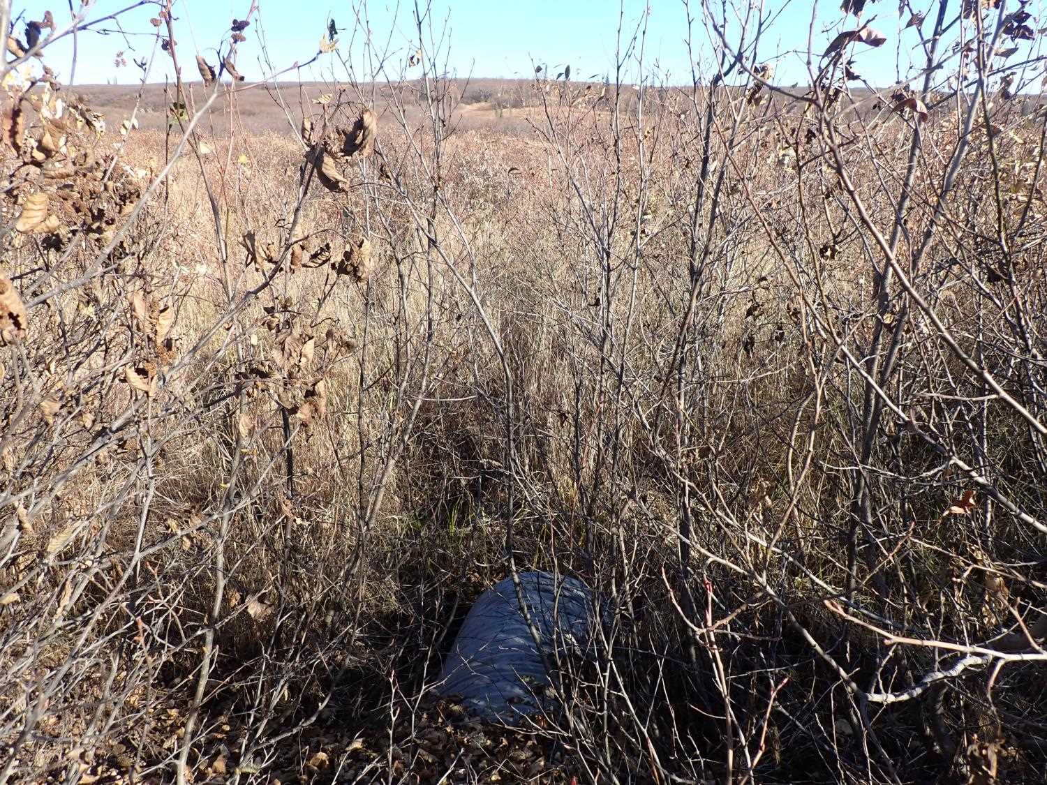
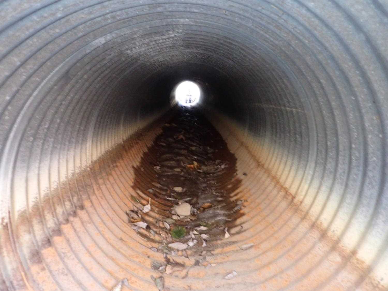
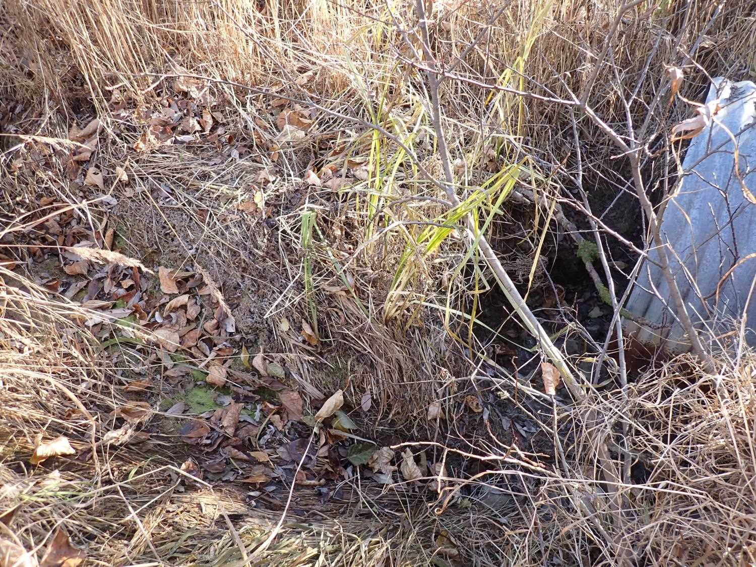
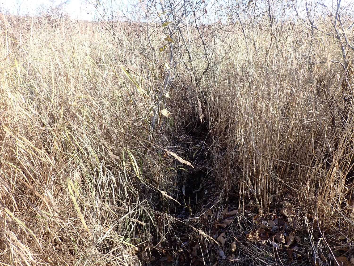
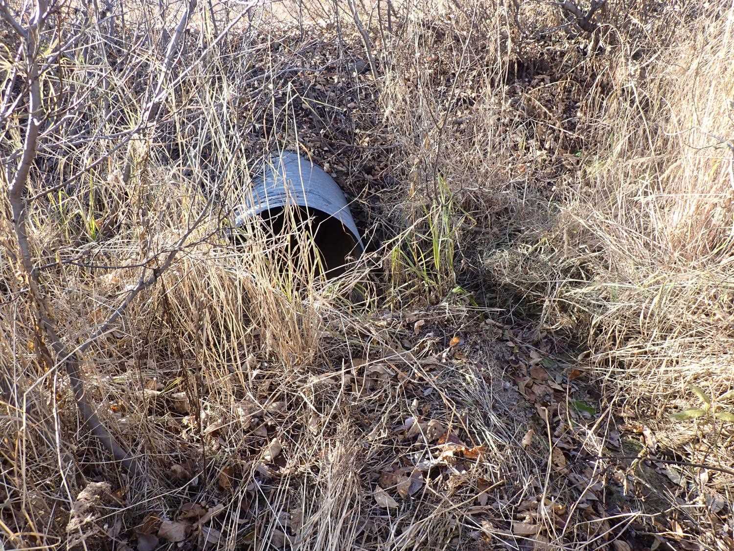
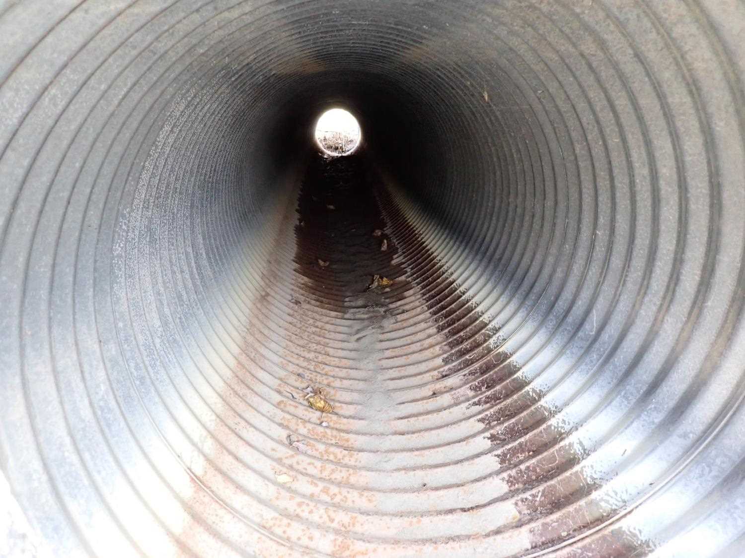
Comments: Culvert is dry. Large sedimentation deposit at inlet (2ft deposit). Stream bed upstream and downstream is organic material, runs through grassy upland.
Culvert Measurements
| ID: 1 | Structure Type: Circular pipe (Corrugated steel) | Fish Passage Rating: | |||||||||||||||||||||||||||||||||||||||||
|
|
|
|||||||||||||||||||||||||||||||||||||||||
Stream Measurements
|
|
No stream width data available.
Elevations
No elevation data available.
Fish Sampling Efforts
No fish sampling occurred during this survey.
Fish Observations
No fish observations occurred during this survey.
Photos
Questions or comments about this report can be directed to dfg.dsf.webmaster@alaska.gov