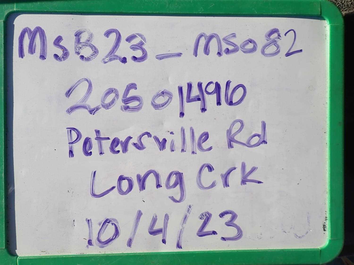
Fish Passage Site 20501496
Coordinates (dec. deg.): 62.53283°, -150.48818°
Legal Description: S028N007W12
Region: South Central
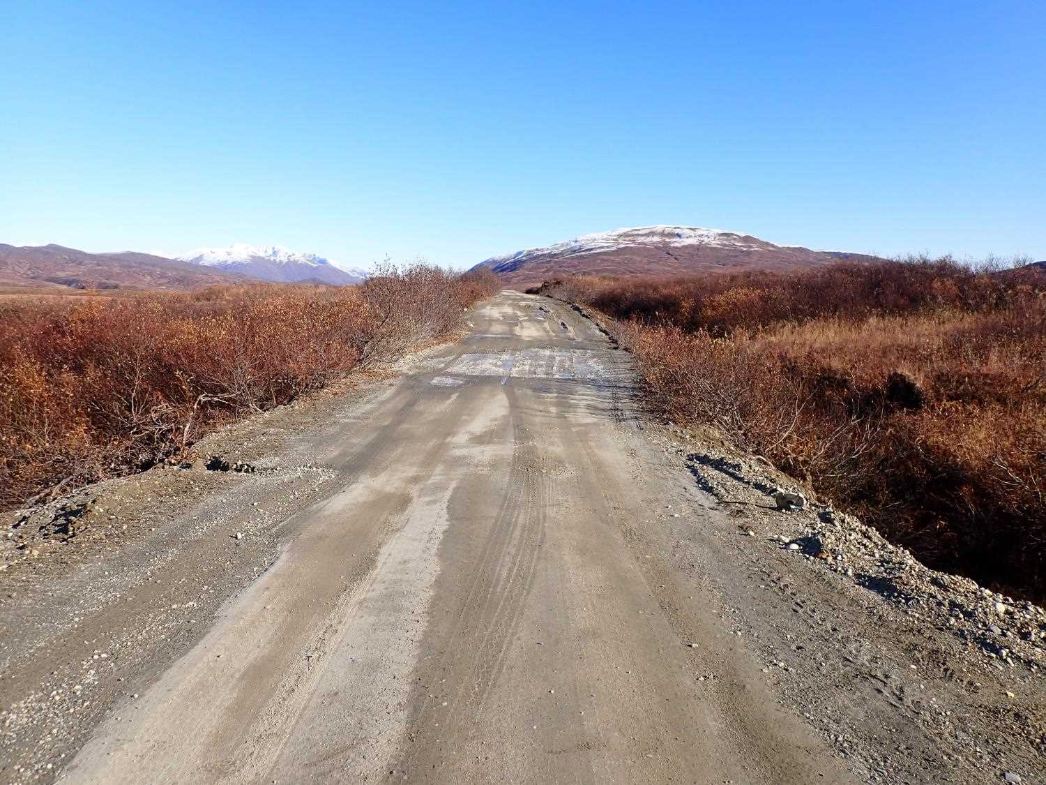
Road Name: Petersville Road
Datum: WGS84
Quad Name / ITM: Talkeetna C-1
AWC Stream #:
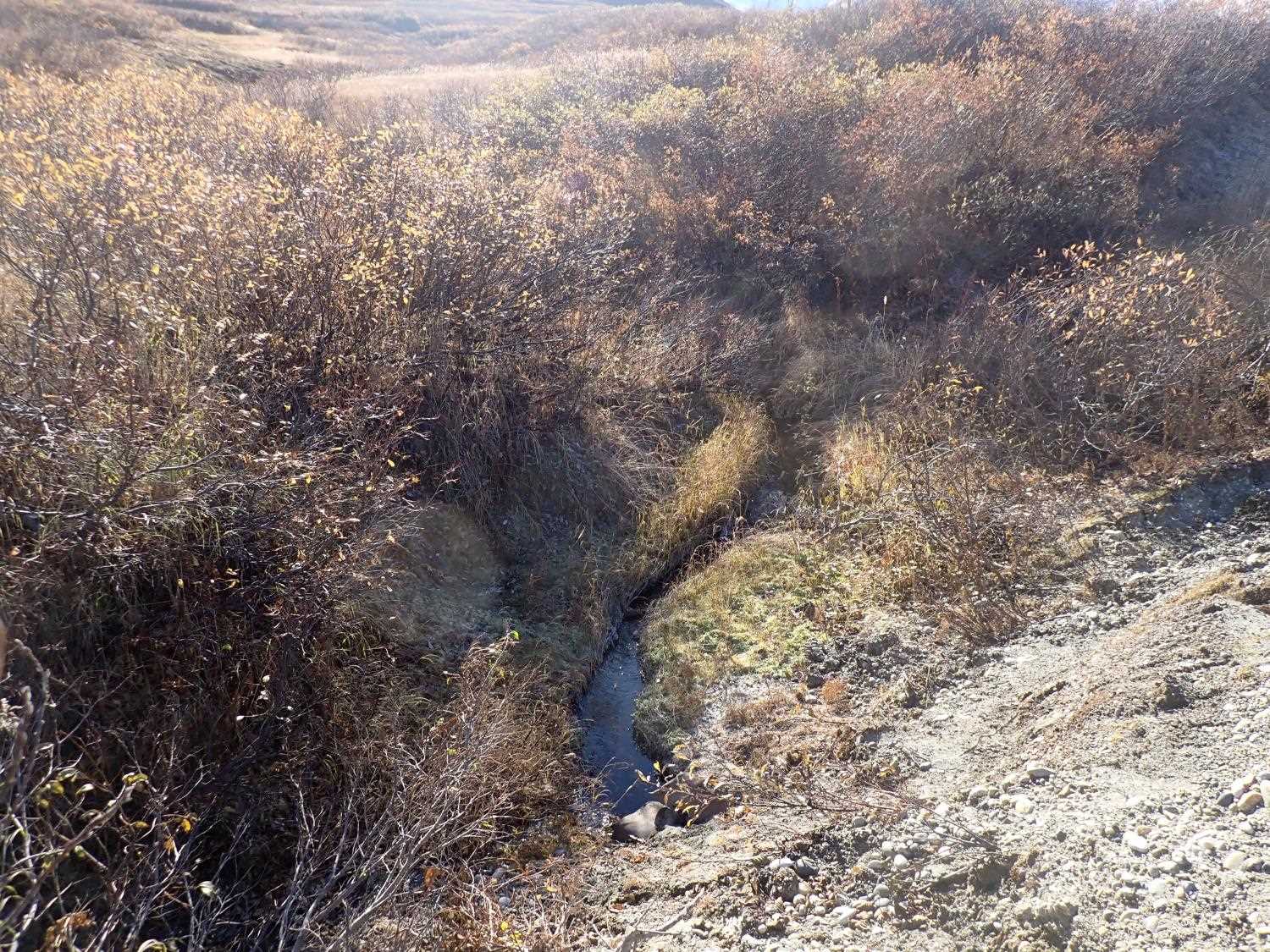
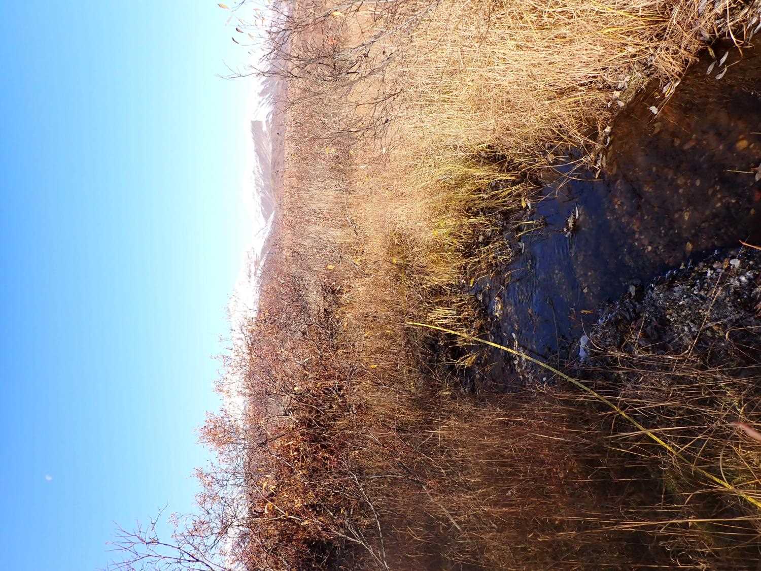
Stream Name: Long Creek
Elevation:
Site Comments: None
arrow to the right of the survey date below to choose a different report for this site.
Survey MSB23-MS082
Project Supervisor: Michael Mazzacavallo, Alaska Department of Fish and Game
— Anchorage, AK
Observers: Michael Mazzacavallo, Kat Leavitt, Beth Evers
Overall Fish Passage Rating:
Tidal: No
Backwatered: No
Step Pools: No
Construction Year:
Site Observations:
- Mechanical damage or joints parting
- Material inadequate for designed use
- Road Fill (pushed off road by grader)
Comments: None
Culvert Measurements
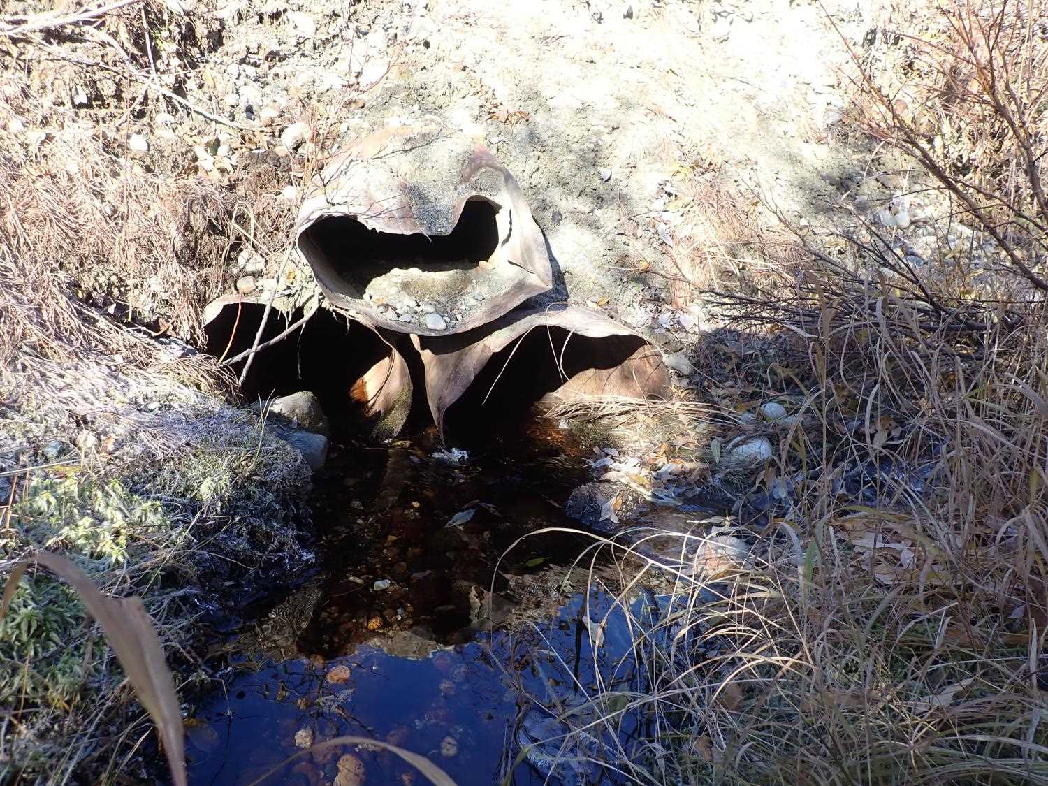
| ID: 1 | Structure Type: Circular pipe (Corrugated steel) | Fish Passage Rating: | ||||||||||||||||||||||||||||||||||||||||||
|
|
|
||||||||||||||||||||||||||||||||||||||||||
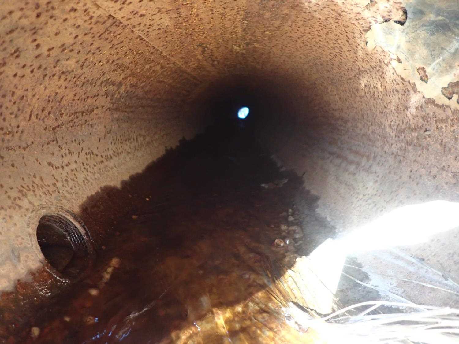
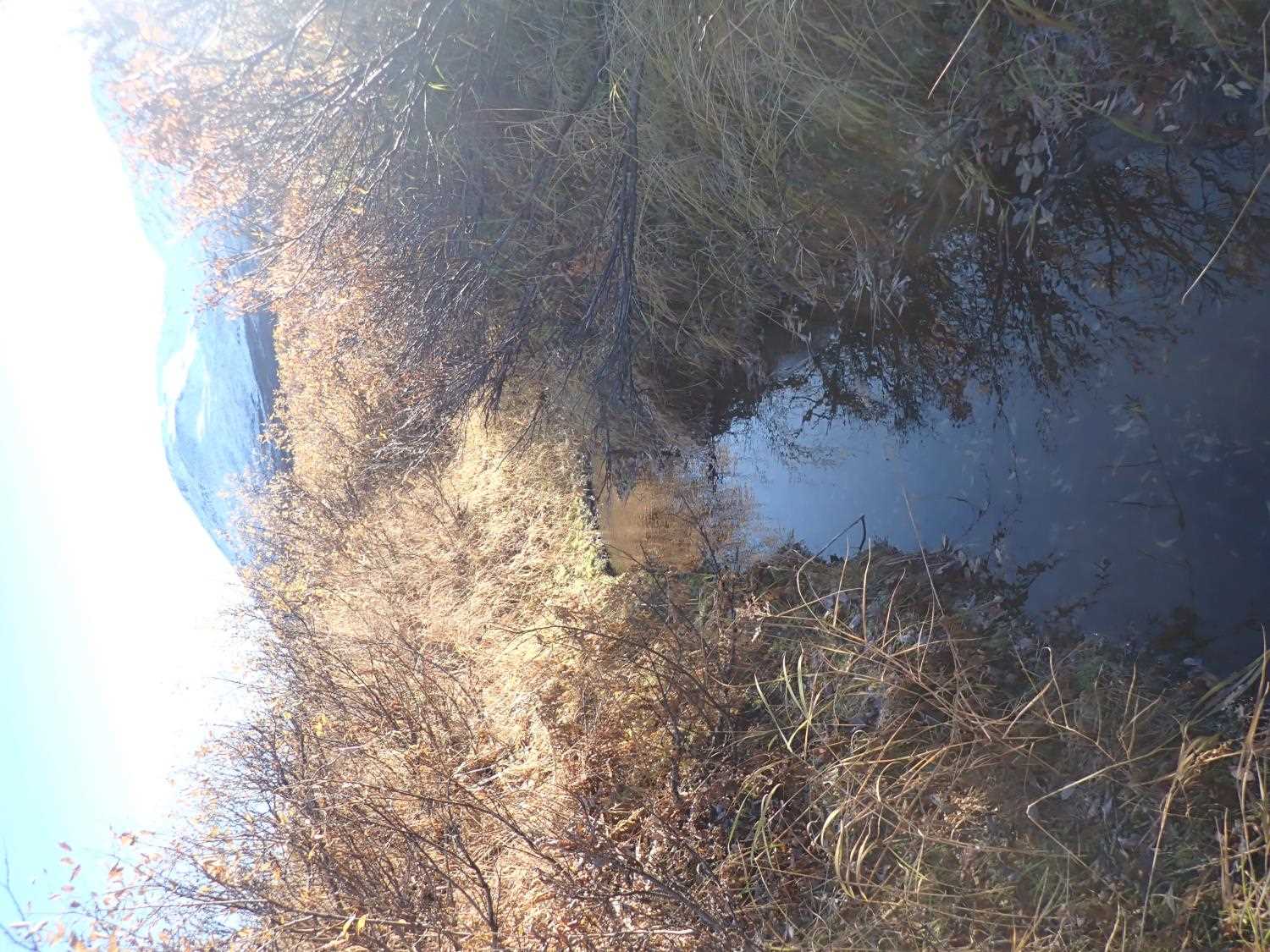
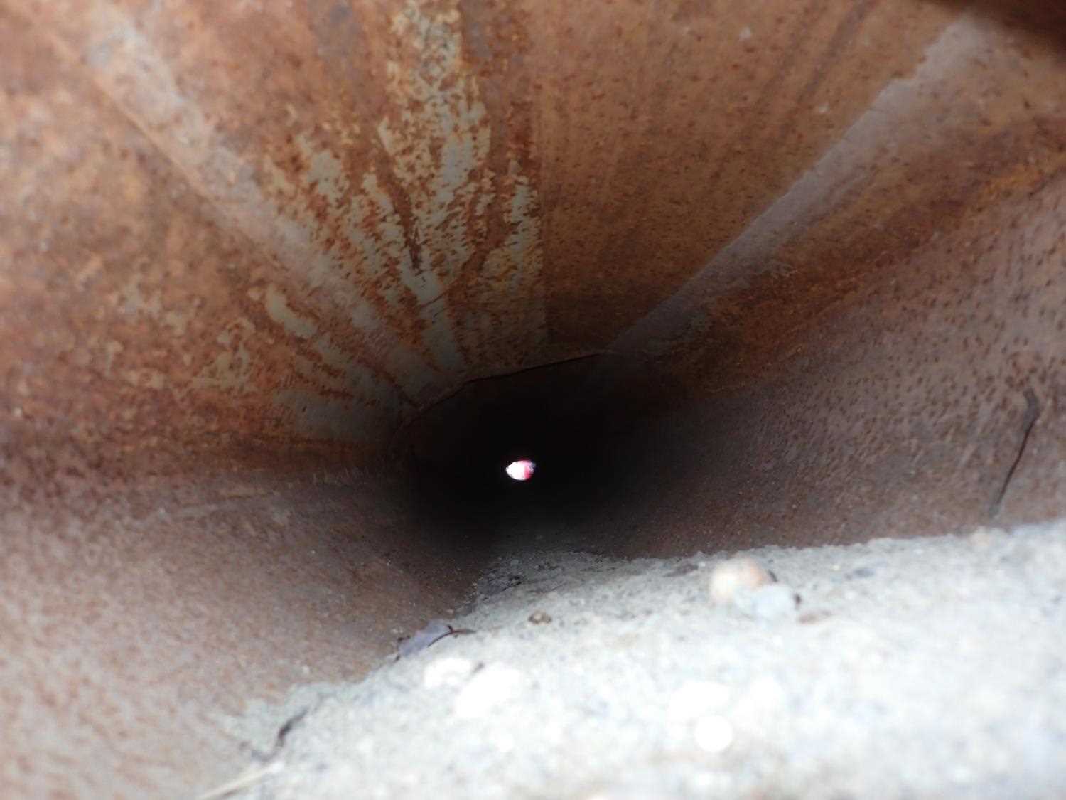
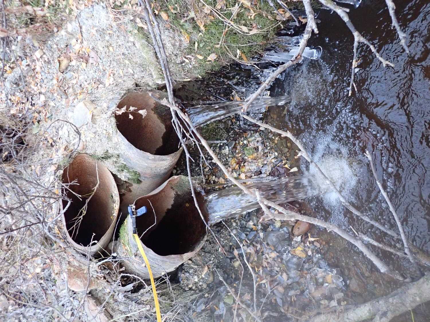
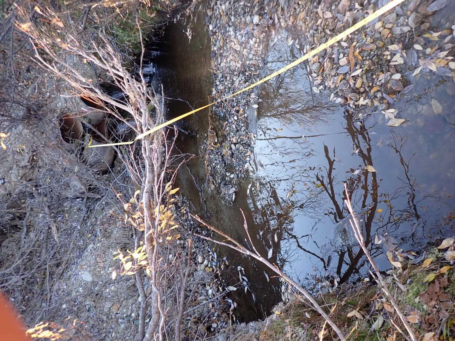
Comments: Outlet culvert#1 has flow that goes into a marsh. The culvert is extremely rusted and damaged. Culverts do not have corregations. Outlet is essentially a waterfall. |
||||||||||||||||||||||||||||||||||||||||||||
Culvert Observations:
|
||||||||||||||||||||||||||||||||||||||||||||
| ID: 2 | Structure Type: Circular pipe (Corrugated steel) | Fish Passage Rating: | ||||||||||||||||||||||||||||||||||||||||||
|
|
|
||||||||||||||||||||||||||||||||||||||||||
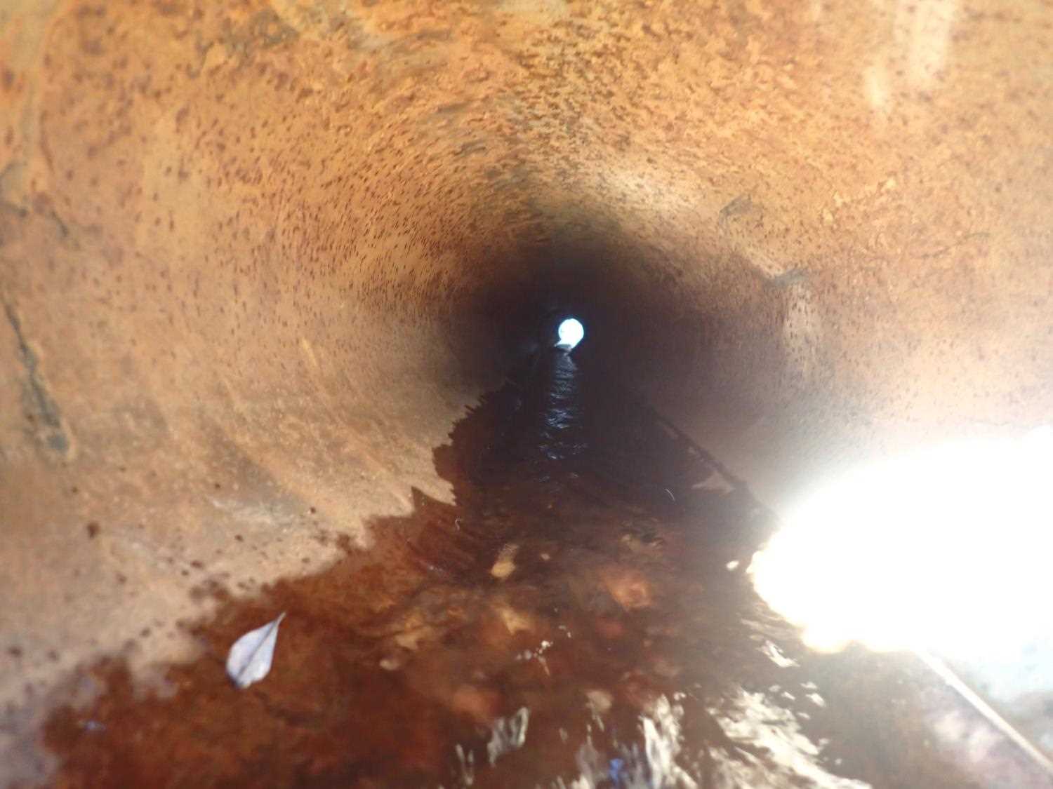
Comments: Culvert 2 has flow that goes into a marsh. The culvert is extremely rusted and damaged. Culvert does not have corregations. Outlet culvert are essentailly water falls. |
||||||||||||||||||||||||||||||||||||||||||||
Culvert Observations:
|
||||||||||||||||||||||||||||||||||||||||||||
| ID: 3 | Structure Type: Circular pipe (Corrugated steel) | Fish Passage Rating: | ||||||||||||||||||||||||||||||||||||||||||
|
|
|
||||||||||||||||||||||||||||||||||||||||||
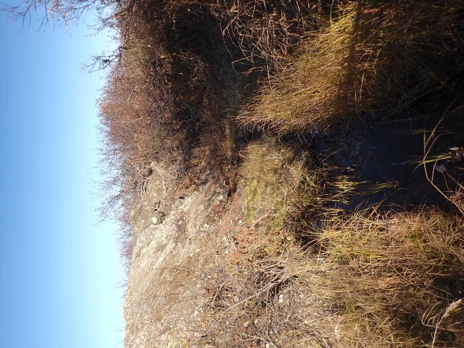
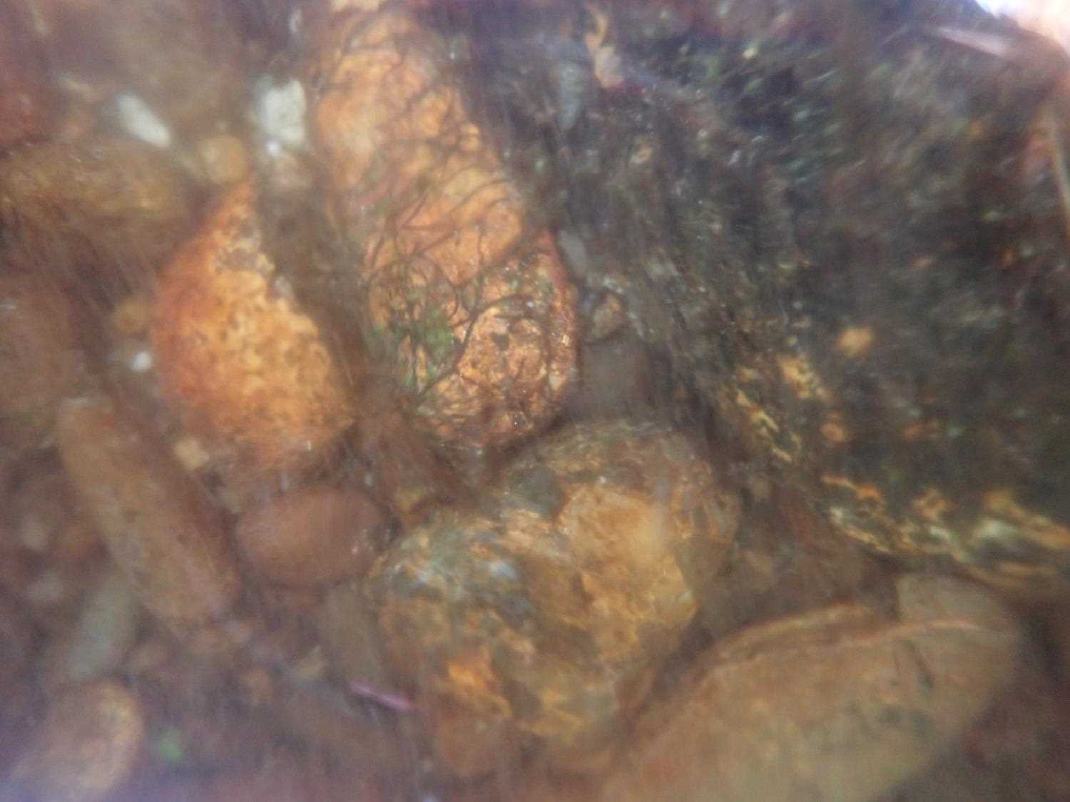
Comments: Culvert #3 is stacked on top of the two other culverts with no flow. Culvert #3 is smashed, but can see through. |
||||||||||||||||||||||||||||||||||||||||||||
Culvert Observations:
|
||||||||||||||||||||||||||||||||||||||||||||
Stream Measurements
|
|
| Stream Width Type | Distance From Crossing (ft) |
Stream Width (ft) |
|---|---|---|
| Downstream bed width | 62.0 | 43.00 |
| Upstream bed width | 29.0 | 4.10 |
| Upstream bed width | 47.0 | 1.30 |
| Upstream bed width | 80.0 | 1.40 |
Elevations
| Locator ID | Culvert Number |
River Distance (ft)1 |
Distance From Crossing (ft)2 |
Relative Elevation (ft) |
|---|---|---|---|---|
| Inlet Culvert Invert | 1 | 104.00 | 90.76 | |
| Inlet Culvert Invert | 2 | 104.00 | 90.82 | |
| U/S Water Surface Elev (Culvert #1 water surface) | 1 | 104.00 | 90.83 | |
| U/S Water Surface Elev (Culvert #2 water surface) | 2 | 104.00 | 90.87 | |
| Inlet Culvert Invert | 3 | 104.00 | 91.61 | |
| Inlet Culvert Top | 1 | 104.00 | 91.65 | |
| Inlet Culvert Top | 2 | 104.00 | 91.67 | |
| Inlet Culvert Top | 3 | 104.00 | 92.65 | |
| Outlet Culvert Top | 1 | 143.15 | 91.35 | |
| Outlet Invert | 1 | 143.15 | 90.17 | |
| D/S Water Surface Elev (Culvert#1 water surface) | 1 | 143.15 | 90.20 | |
| Outlet Invert | 2 | 143.36 | 90.13 | |
| D/S Water Surface Elev (Culvert #2 water surface) | 2 | 143.36 | 90.15 | |
| Outlet Culvert Top | 2 | 143.36 | 91.21 | |
| Outlet Invert | 3 | 143.36 | 91.28 | |
| Outlet Culvert Top | 3 | 146.36 | 92.06 | |
| Max Pool Depth | 146.36 | 88.01 | ||
| Outlet Pool Water Elev | 146.36 | 88.70 | ||
| D/S Thalweg | 185.36 | 88.11 | ||
| D/S Water Surface Elev | 185.36 | 88.24 | ||
| D/S Thalweg | 222.36 | 87.47 | ||
| D/S Water Surface Elev | 222.36 | 87.56 |
Notes:
- River distance is measured continuously throughout the survey reach along the thalweg of the stream.
- Measured from each end of the crossing along the thalweg of the stream.
Fish Sampling Efforts
No fish sampling occurred during this survey.
Fish Observations
No fish observations occurred during this survey.
Photos
Questions or comments about this report can be directed to dfg.dsf.webmaster@alaska.gov