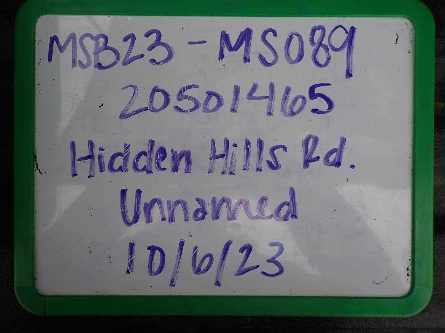
Fish Passage Site 20501465
Coordinates (dec. deg.): 61.98934°, -149.97888°
Legal Description: S022N004W22
Region: South Central
Road Name: Hidden Hills Road
Datum: WGS84
Quad Name / ITM: Anchorage D-8
AWC Stream #:
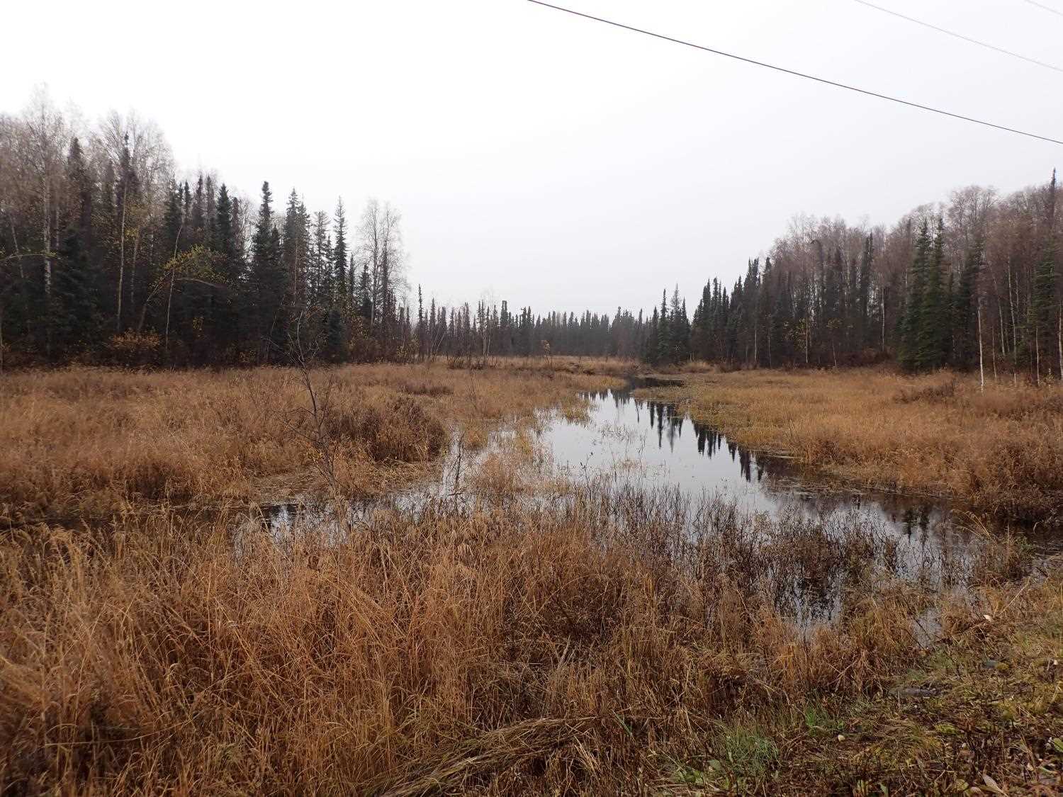
Stream Name: Unnamed
Elevation:
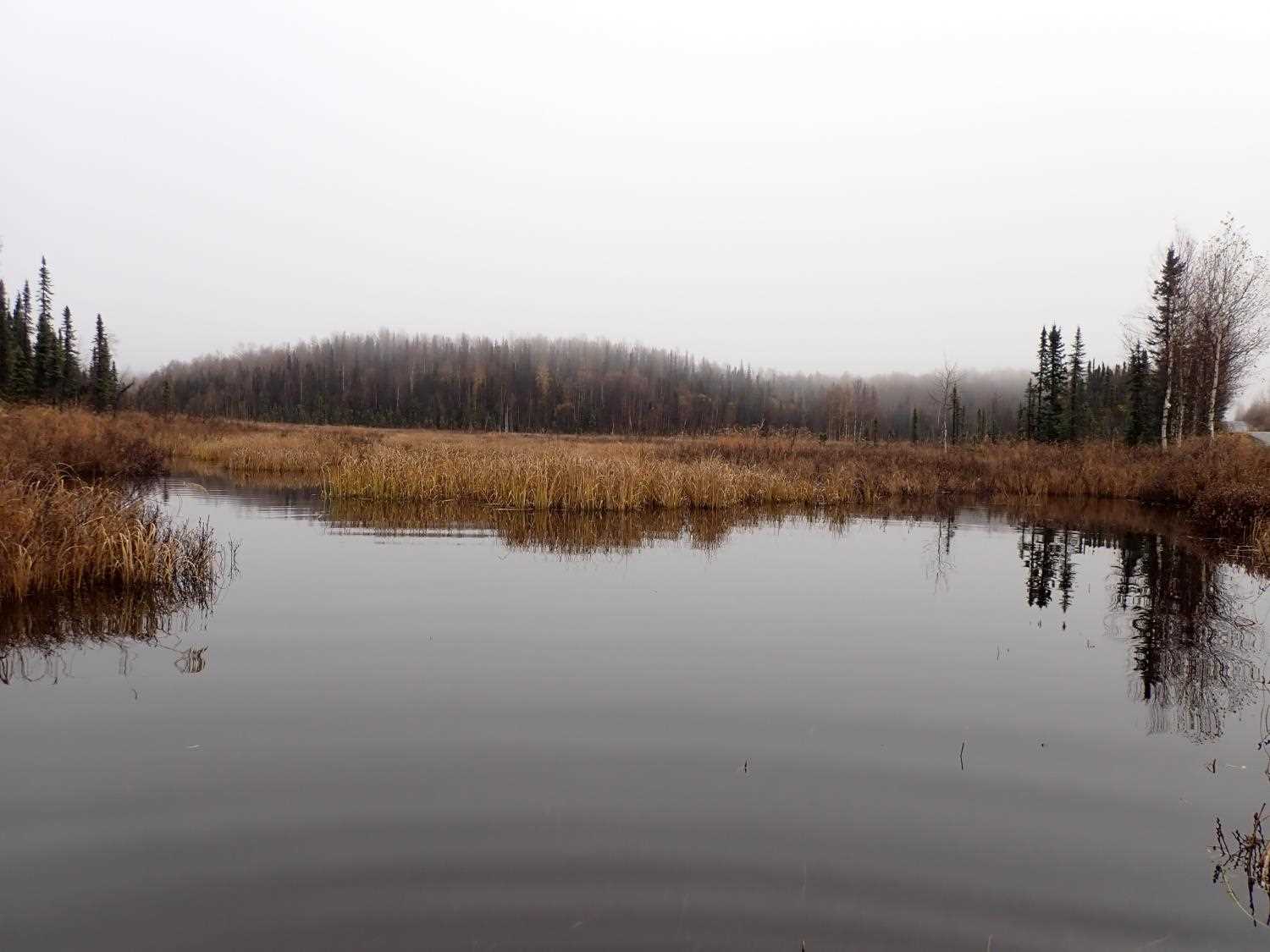
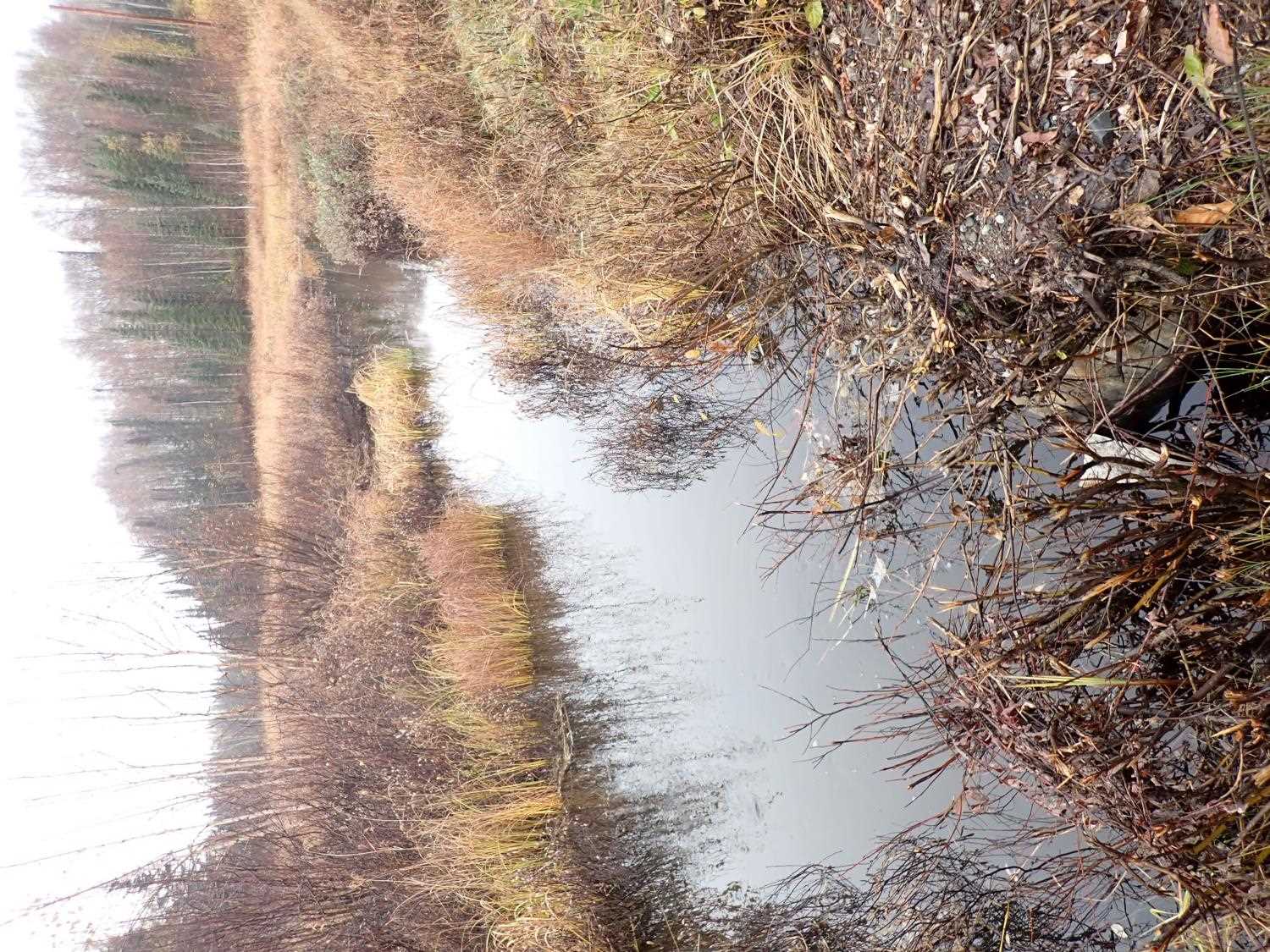
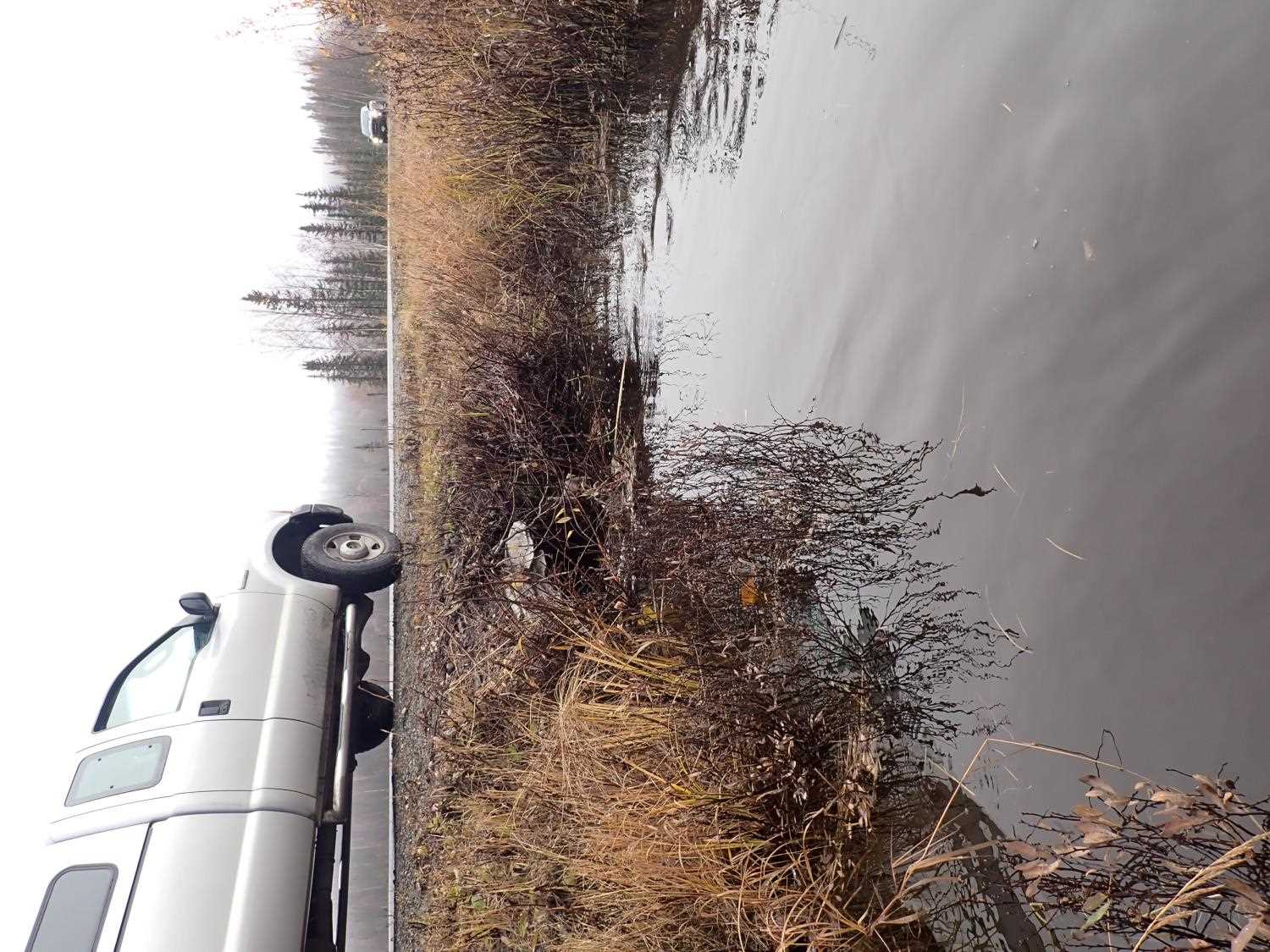
Site Comments: Unnamed creek
arrow to the right of the survey date below to choose a different report for this site.
Survey MSB23-MS089
Project Supervisor: Michael Mazzacavallo, Alaska Department of Fish and Game
— Anchorage, AK
Observers: Michael Mazzacavallo, Kat Leavitt, Beth Evers
Overall Fish Passage Rating:
Tidal: No
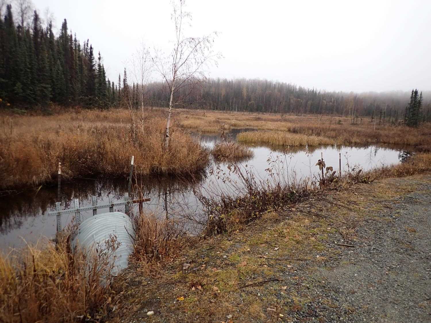
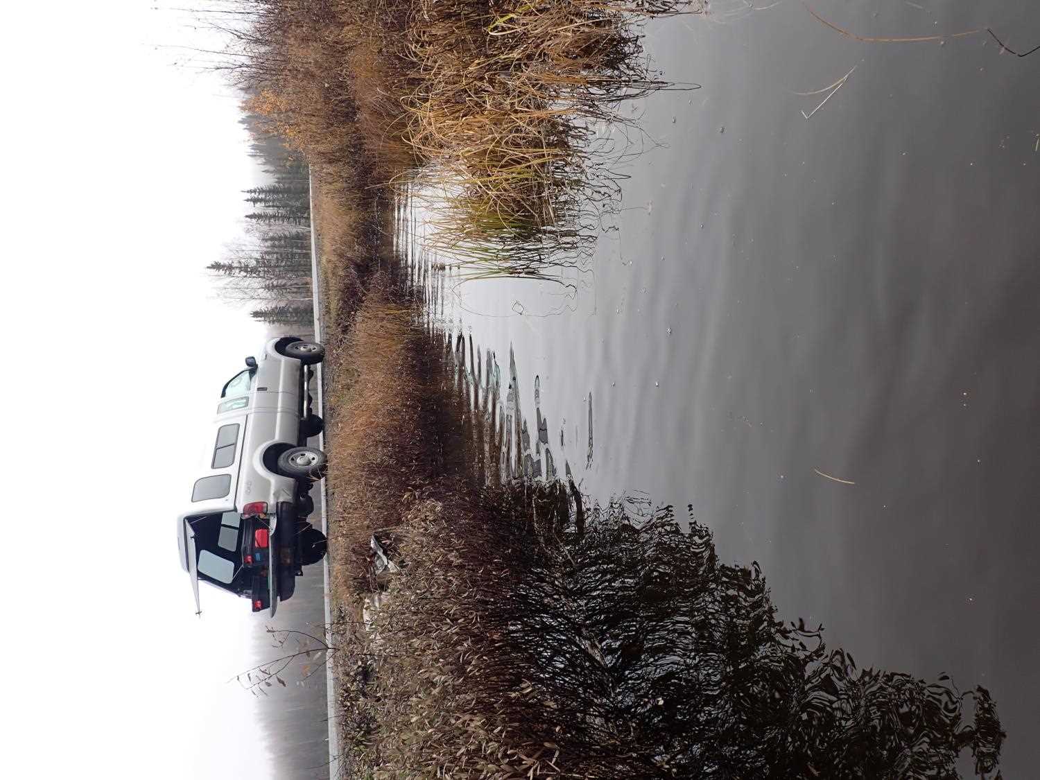
Backwatered: Yes
Step Pools: No
Construction Year:
Site Observations:
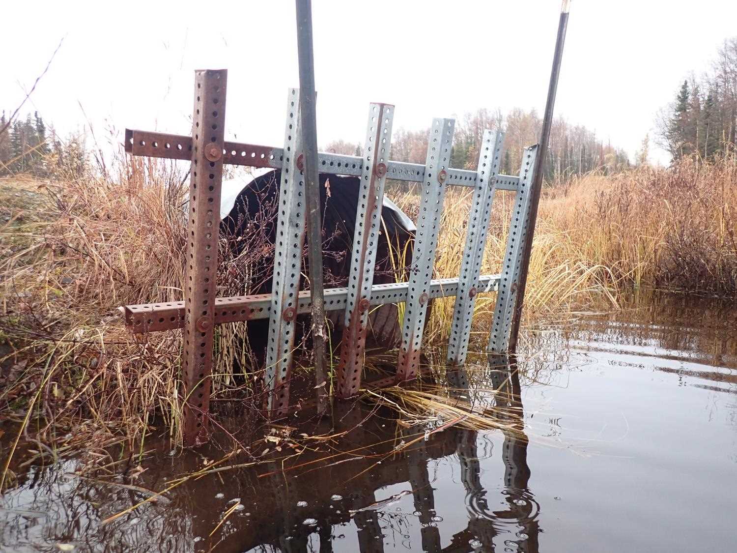
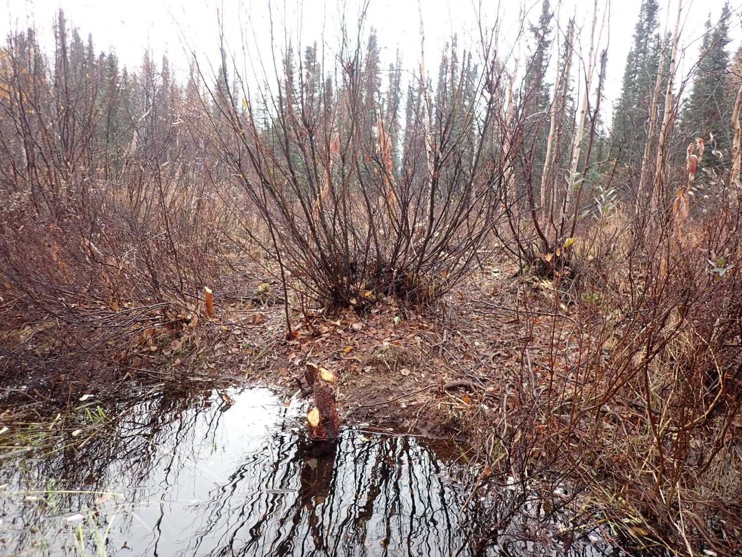
- Beaver Activity
- Inlet perch
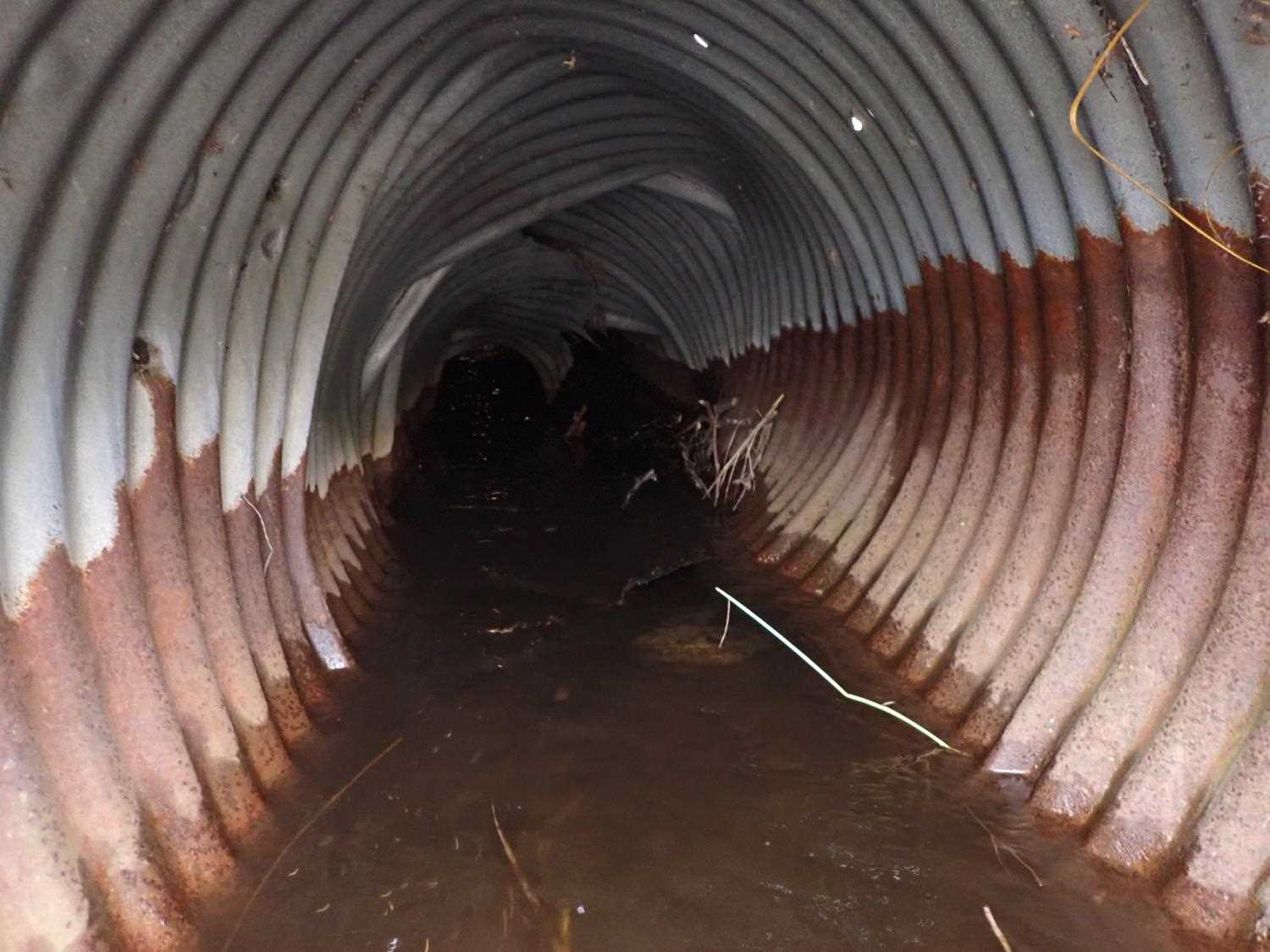
- Mechanical damage or joints parting
- Culvert sagging in middle
- Other, including vibrations, cavitation, etc.
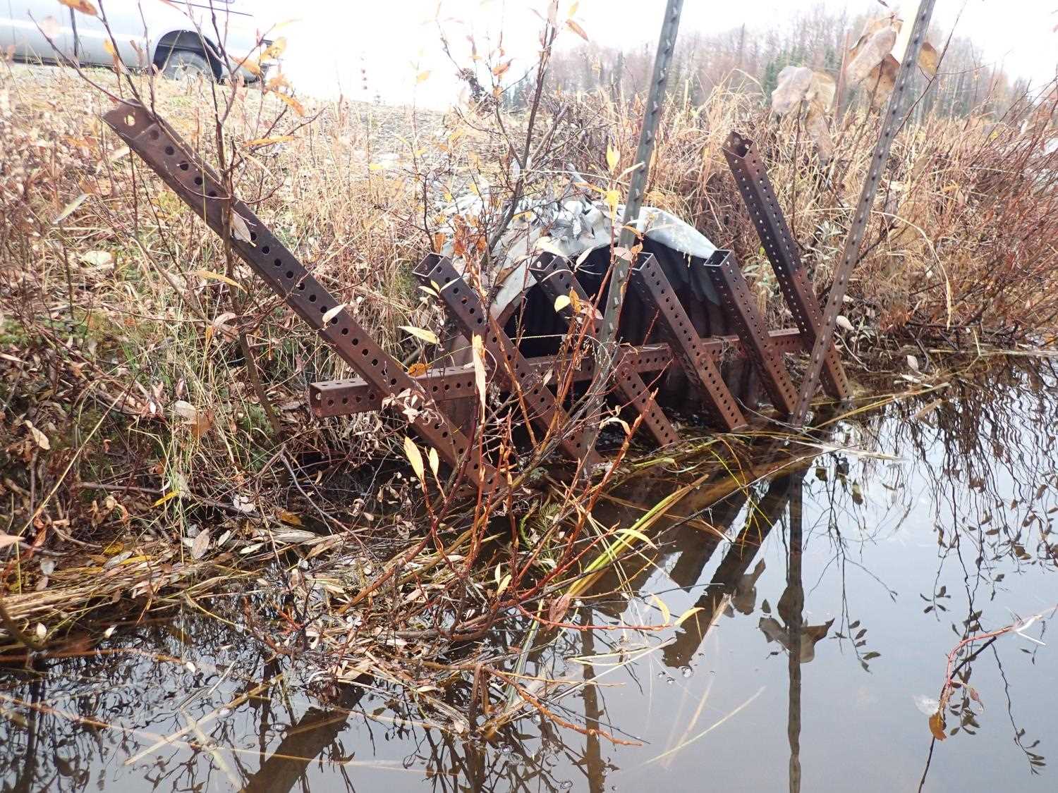
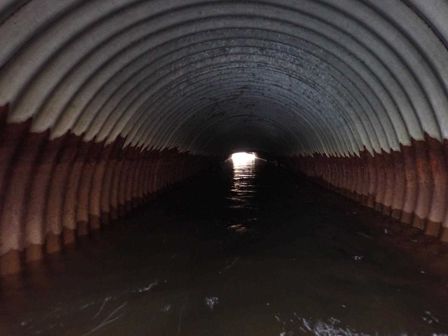
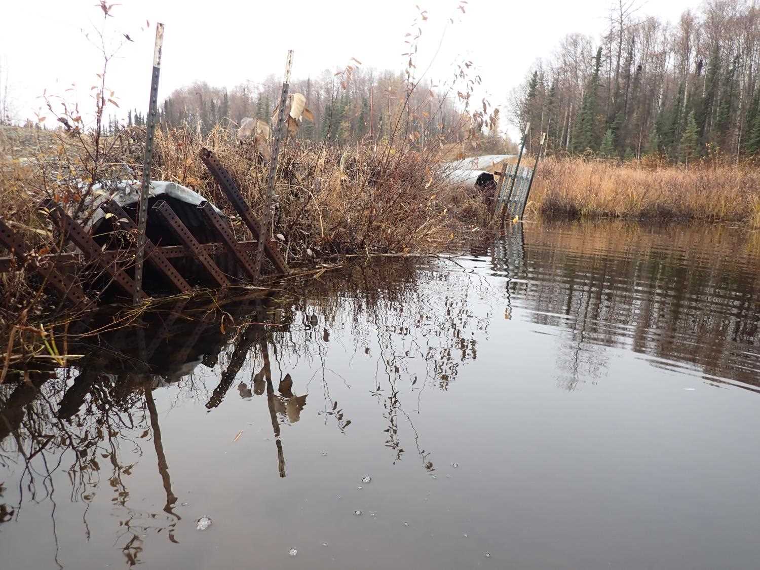
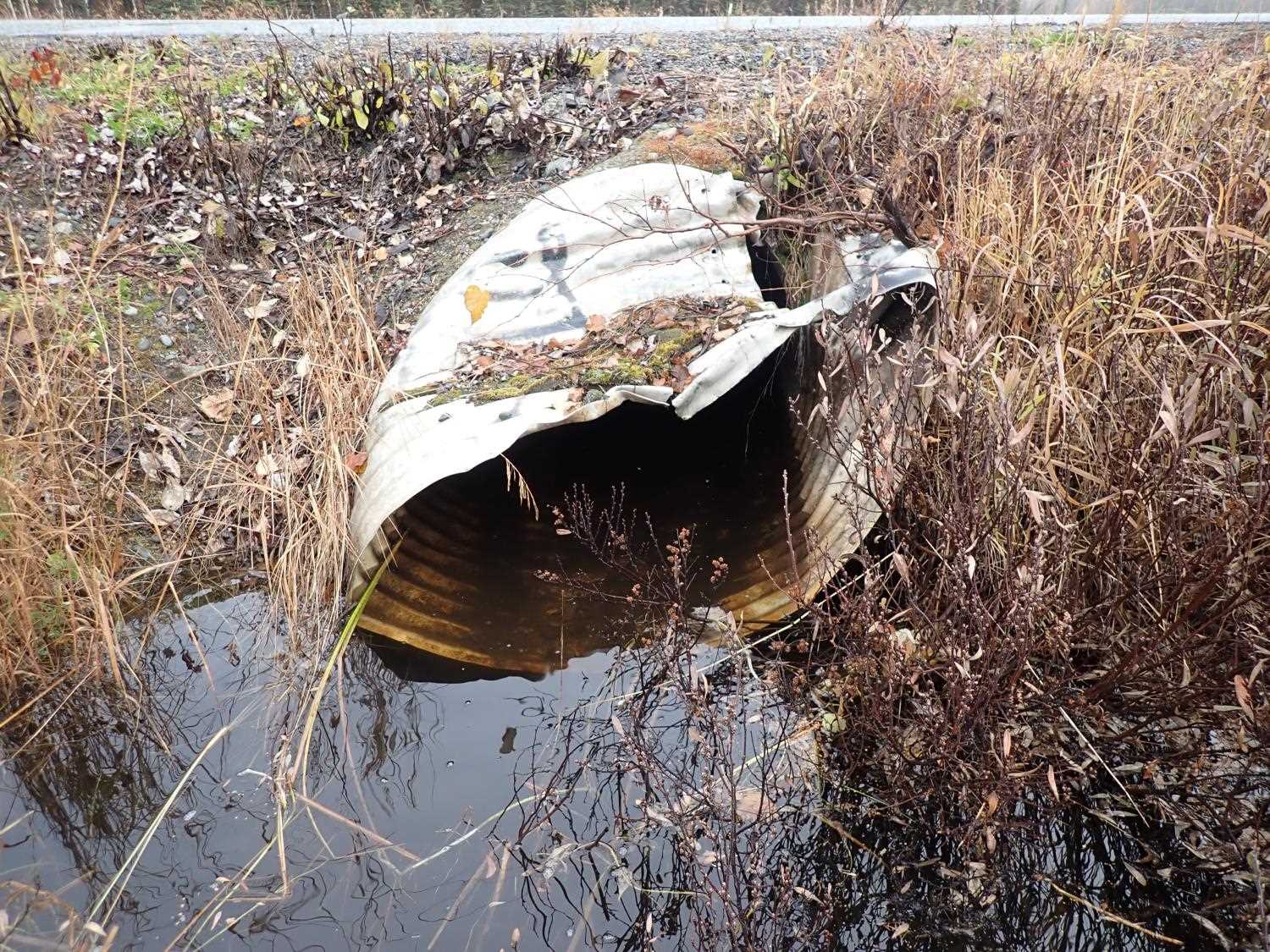
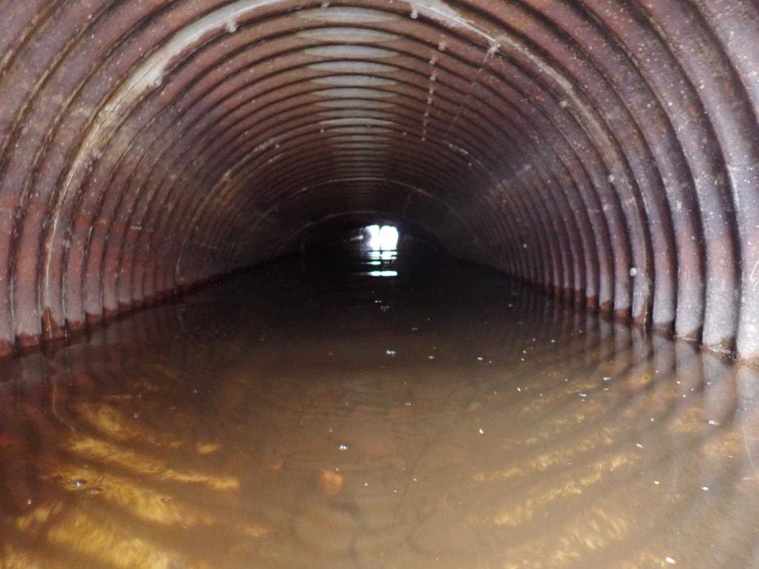
Comments: Pipes are in very poor condition, still functional but not for long.Culverts are made with two different types of material, outlets are CAP and inlets are CSP.
Culvert Measurements
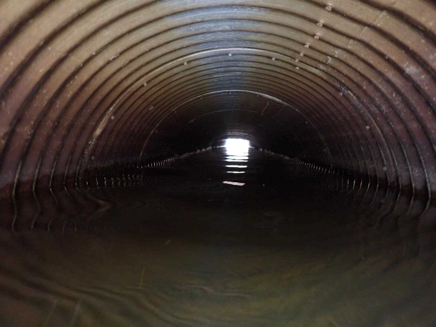
| ID: 1 | Structure Type: Circular pipe (Structural steel plate) | Fish Passage Rating: | ||||||||||||||||||||||||||||||||||||||||||
|
|
|
||||||||||||||||||||||||||||||||||||||||||
Comments: Inlet #1 has beaver gate that is broken.Outlet corregation 2.75. |
||||||||||||||||||||||||||||||||||||||||||||
Culvert Observations:
|
||||||||||||||||||||||||||||||||||||||||||||
| ID: 2 | Structure Type: Circular pipe (Corrugated steel) | Fish Passage Rating: | ||||||||||||||||||||||||||||||||||||||||||
|
|
|
||||||||||||||||||||||||||||||||||||||||||
Comments: Inlet #2 has beaver gate that is not intact. The culvert also has severe damage inside/outside of culvert. Cannot see through due to smashed/ pinched section. Outlet corregation is 2.05. |
||||||||||||||||||||||||||||||||||||||||||||
Culvert Observations:
|
||||||||||||||||||||||||||||||||||||||||||||
Stream Measurements
|
|
No stream width data available.
Elevations
| Locator ID | Culvert Number |
River Distance (ft)1 |
Distance From Crossing (ft)2 |
Relative Elevation (ft) |
|---|---|---|---|---|
| U/S Water Surface Elev | 0.00 | 98.07 | ||
| U/S Water Surface Elev (Culvert water surface) | 1 | 10.00 | 97.94 | |
| Inlet Culvert Top | 1 | 10.00 | 99.79 | |
| Inlet Culvert Top | 2 | 10.00 | 100.45 | |
| Inlet Culvert Invert | 1 | 10.00 | 96.71 | |
| Inlet Culvert Invert | 2 | 10.00 | 97.69 | |
| U/S Water Surface Elev (Culvert water surface) | 2 | 10.00 | 97.92 | |
| Outlet Invert | 2 | 50.20 | 97.30 | |
| Top of Pipe Outlet | 2 | 50.20 | 99.88 | |
| D/S Water Surface Elev | 2 | 50.20 | 97.93 | |
| D/S Thalweg | 51.20 | 95.97 | ||
| Outlet Invert | 1 | 56.50 | 96.29 | |
| D/S Water Surface Elev | 1 | 56.50 | 97.92 | |
| Outlet Culvert Top | 1 | 56.50 | 99.23 | |
| D/S Water Surface Elev | 80.20 | 97.92 |
Notes:
- River distance is measured continuously throughout the survey reach along the thalweg of the stream.
- Measured from each end of the crossing along the thalweg of the stream.
Fish Sampling Efforts
No fish sampling occurred during this survey.
Fish Observations
No fish observations occurred during this survey.
Photos


Questions or comments about this report can be directed to dfg.dsf.webmaster@alaska.gov