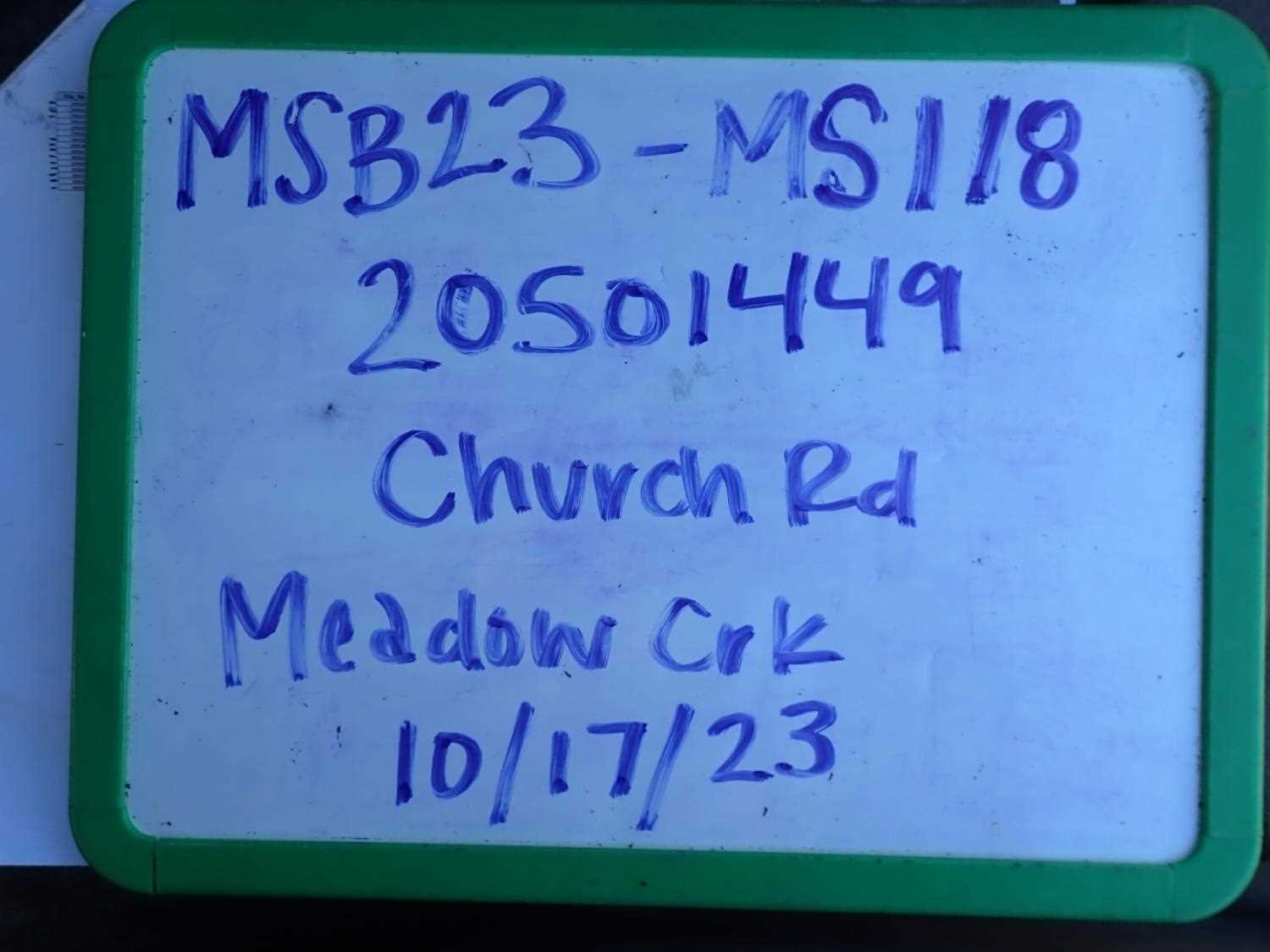
Fish Passage Site 20501449
Coordinates (dec. deg.): 61.60473°, -149.51099°
Legal Description: S018N001W32
Region: South Central
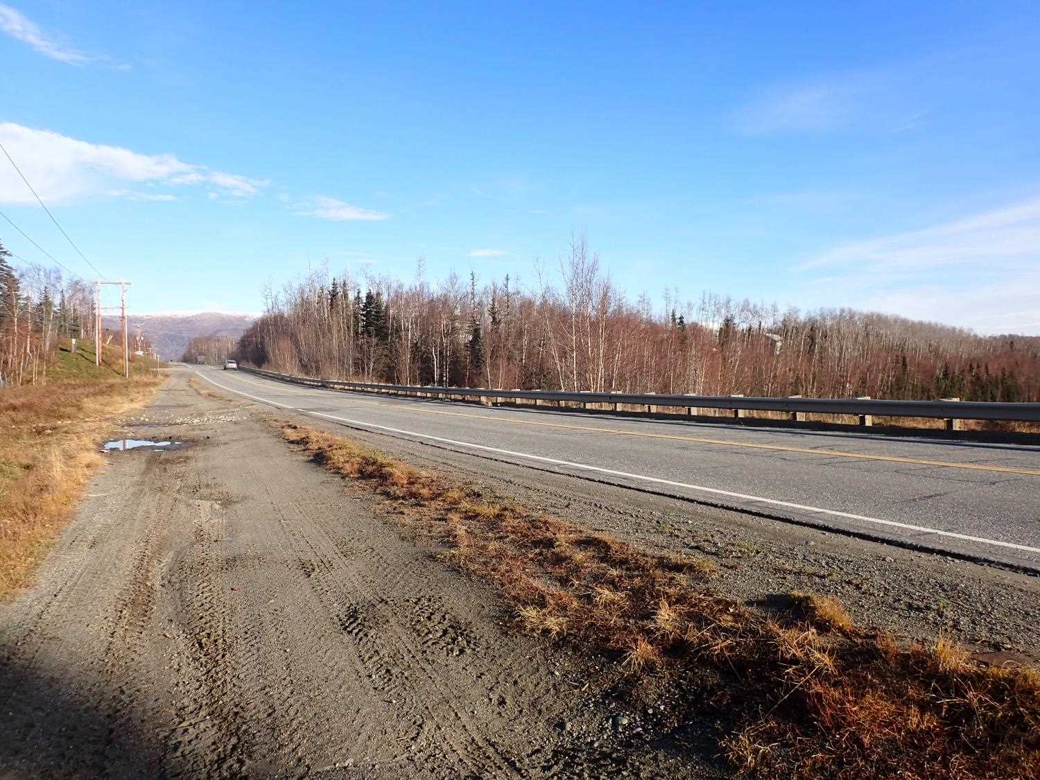
Road Name: Church Road
Datum: NAD83
Quad Name / ITM: Anchorage C-7
AWC Stream #:
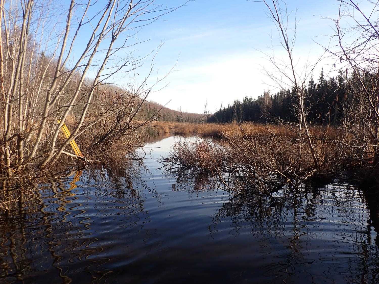
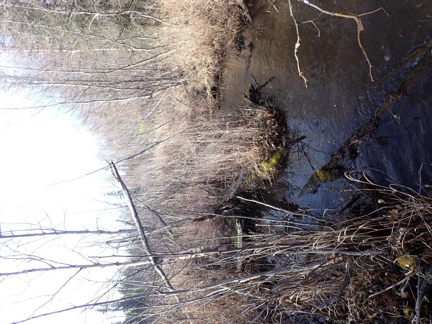
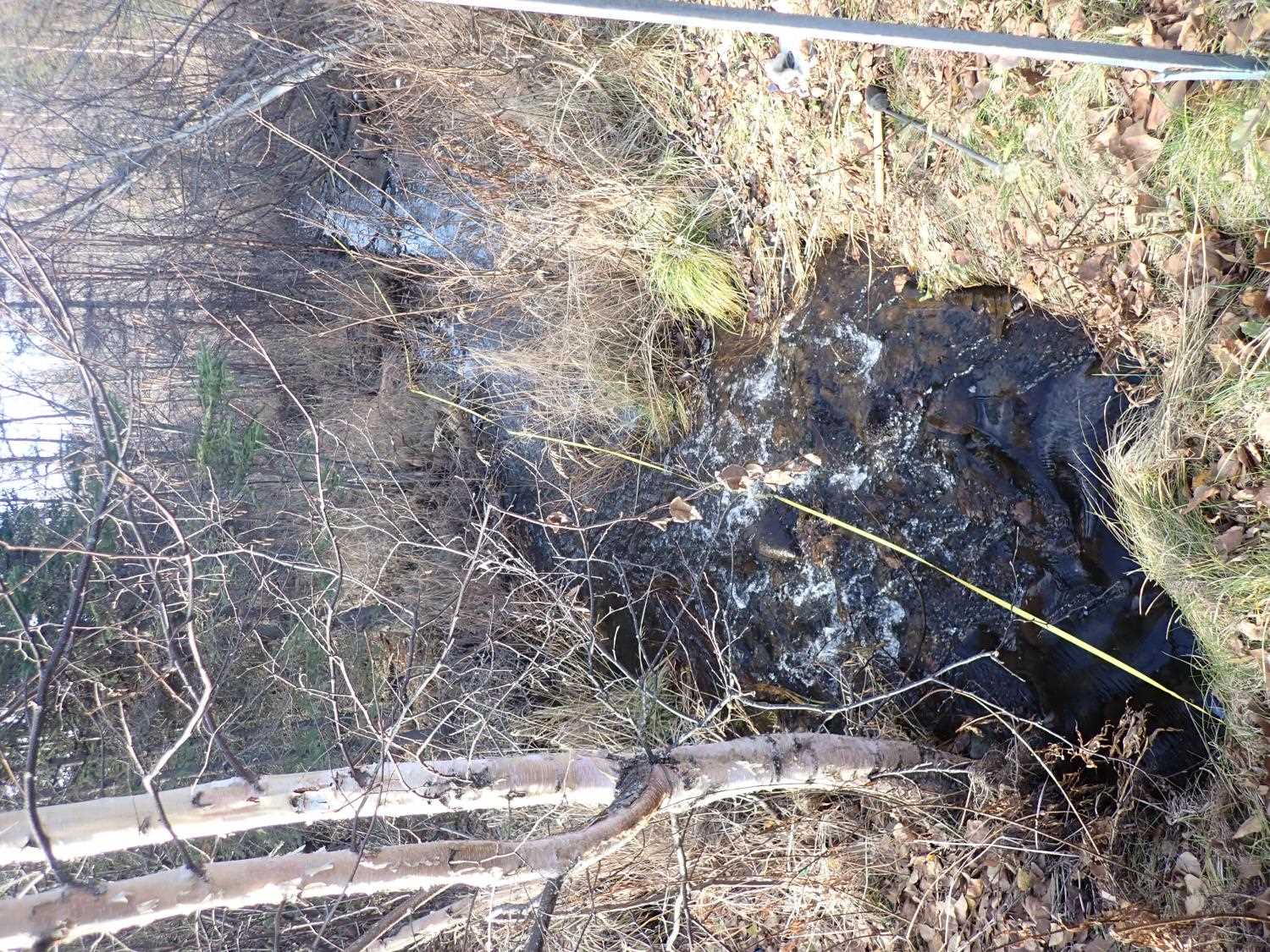
Stream Name: Meadow Creek
Elevation:
Site Comments: MEADOW LAKES WATERSHED
arrow to the right of the survey date below to choose a different report for this site.
Survey MSB23-MS118
Project Supervisor: Michael Mazzacavallo, Alaska Department of Fish and Game
— Anchorage, AK
Observers: Michael Mazzacavallo, Amy LaBarre, Beth Evers
Overall Fish Passage Rating:
Tidal: No
Backwatered: No
Step Pools: No
Construction Year:
Site Observations:
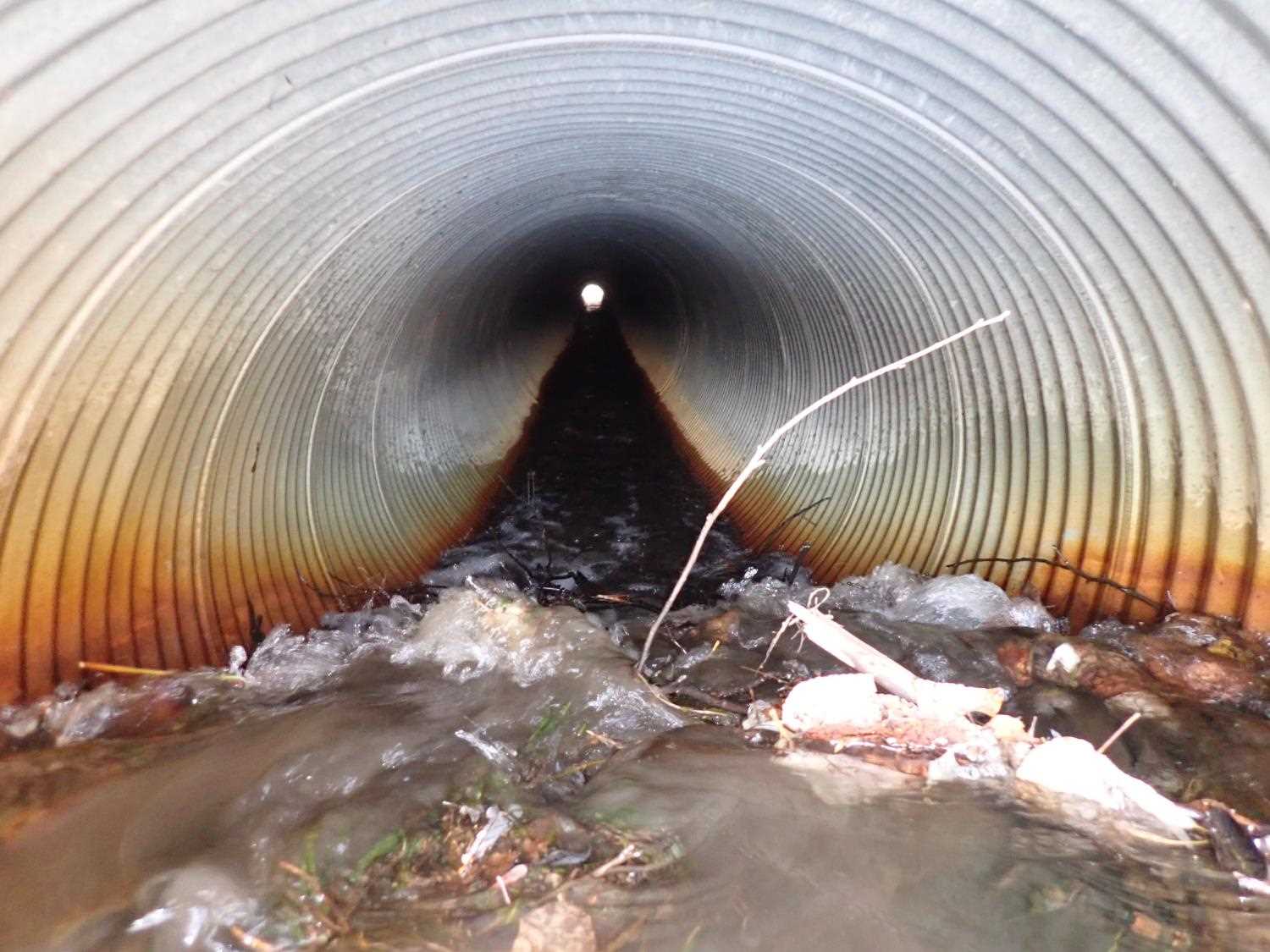
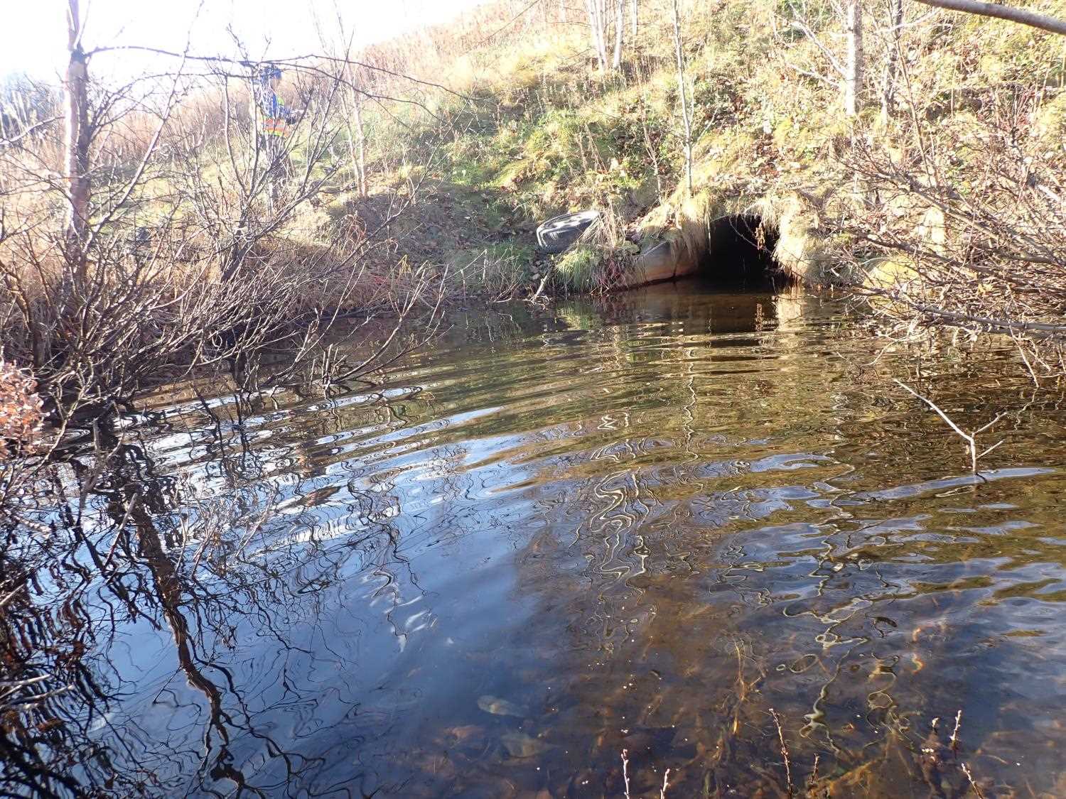
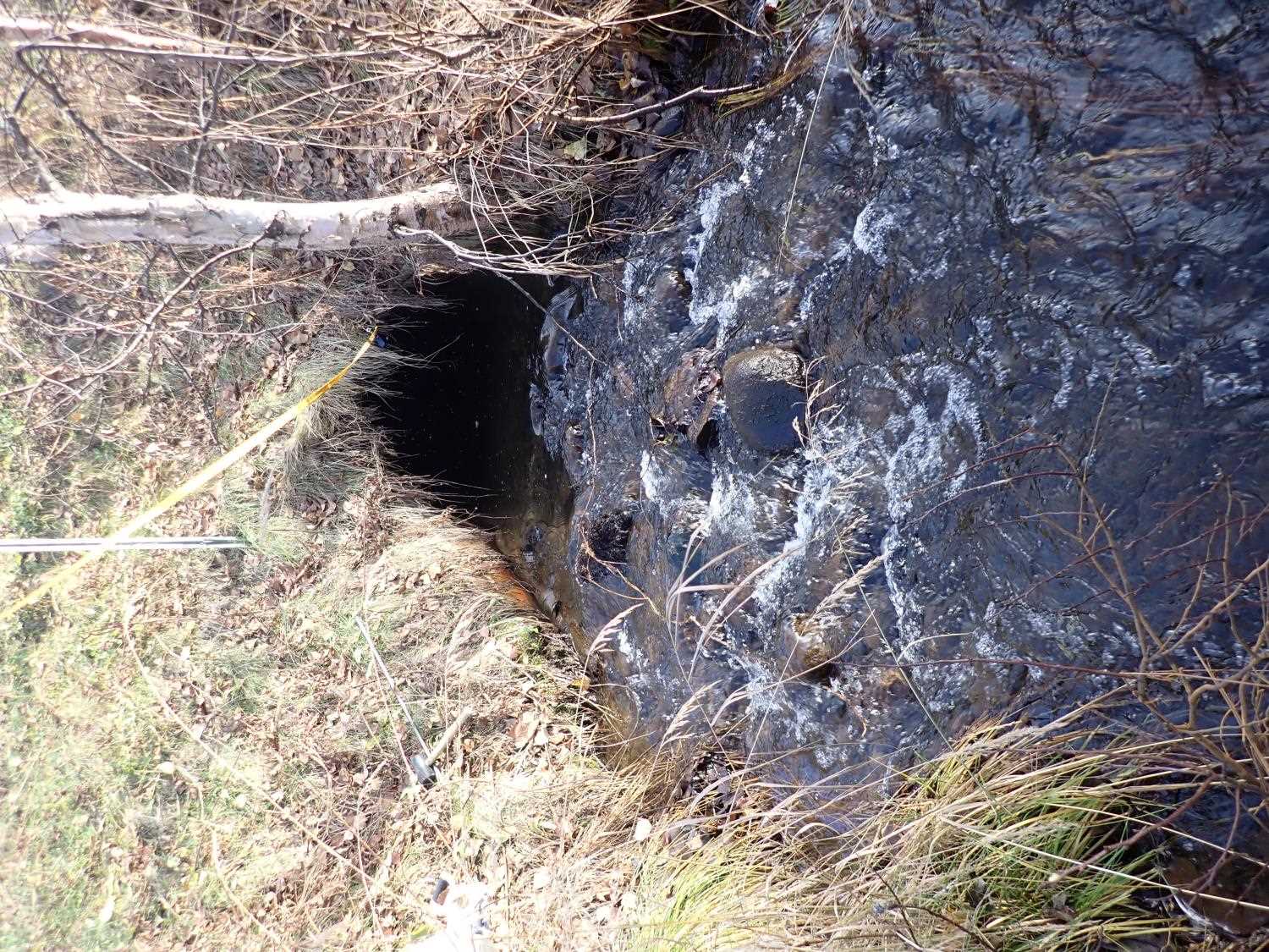
- Inlet perch
- Woody Debris
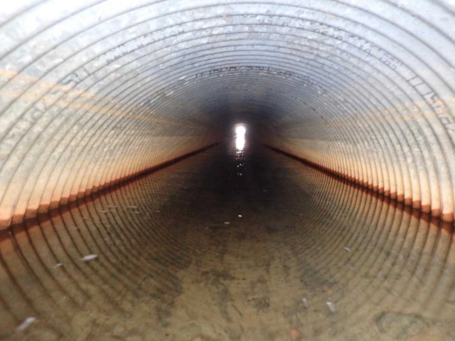
- Compound gradient in pipe
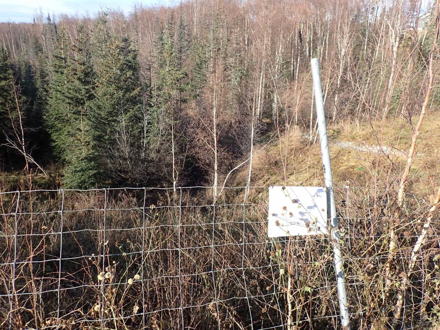
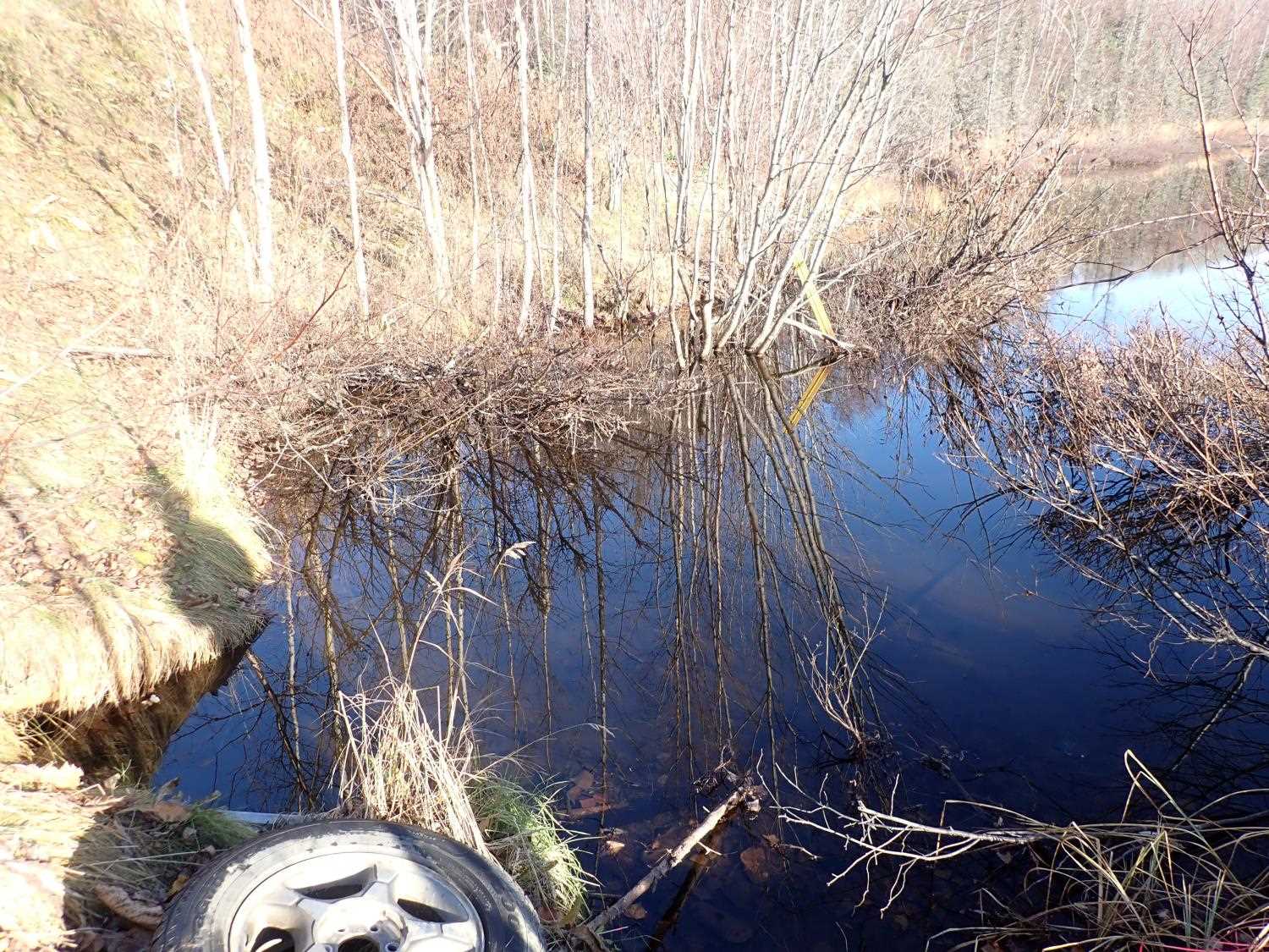
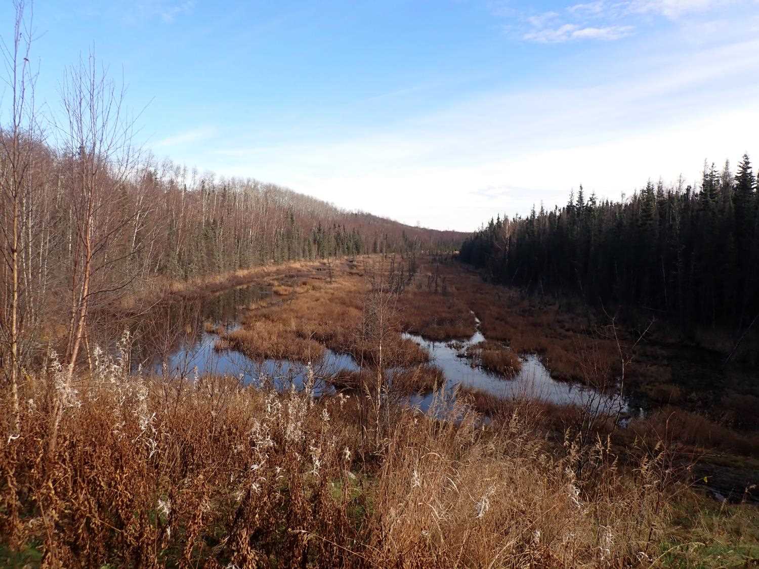
Comments: Inlet has large amount of sediment and wood fragements building inside entry, there is a outfall inside the culvert. Inlet is fed by pond. Downstream is mostly marsh, small stream from culvert to marsh.
Culvert Measurements
| ID: 1 | Structure Type: Circular pipe (Corrugated steel) | Fish Passage Rating: | ||||||||||||||||||||||||||||||||||||||||||
|
|
|
||||||||||||||||||||||||||||||||||||||||||
Comments: No road measurements taken, human error (11/14/23 KL) |
||||||||||||||||||||||||||||||||||||||||||||
Culvert Observations:
|
||||||||||||||||||||||||||||||||||||||||||||
Stream Measurements
|
|
No stream width data available.
Elevations
| Locator ID | Culvert Number |
River Distance (ft)1 |
Distance From Crossing (ft)2 |
Relative Elevation (ft) |
|---|---|---|---|---|
| D/S Water Surface Elev | 0.00 | 59.52 | ||
| D/S Thalweg | 0.00 | 58.85 | ||
| D/S Thalweg | 36.00 | 59.14 | ||
| D/S Water Surface Elev | 36.00 | 59.89 | ||
| Outlet Invert | 91.00 | 60.29 | ||
| D/S Water Surface Elev | 91.00 | 60.88 | ||
| Outlet Culvert Top | 91.00 | 62.83 | ||
| Inlet Culvert Invert | 305.24 | 63.14 | ||
| U/S Water Surface Elev | 305.24 | 64.02 | ||
| Inlet Culvert Top | 305.24 | 66.06 | ||
| U/S Water Surface Elev | 325.24 | 64.01 |
Notes:
- River distance is measured continuously throughout the survey reach along the thalweg of the stream.
- Measured from each end of the crossing along the thalweg of the stream.
Fish Sampling Efforts
No fish sampling occurred during this survey.
Fish Observations
No fish observations occurred during this survey.
Photos
Questions or comments about this report can be directed to dfg.dsf.webmaster@alaska.gov