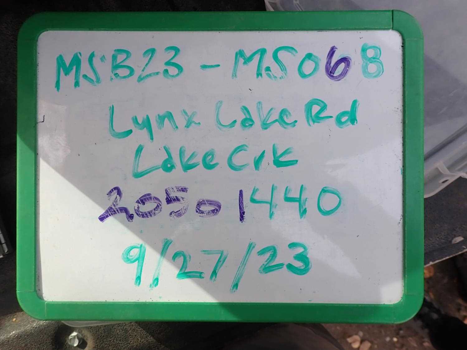
Fish Passage Site 20501440
Coordinates (dec. deg.): 61.67087°, -149.98483°
Legal Description: S018N004W10
Region: South Central
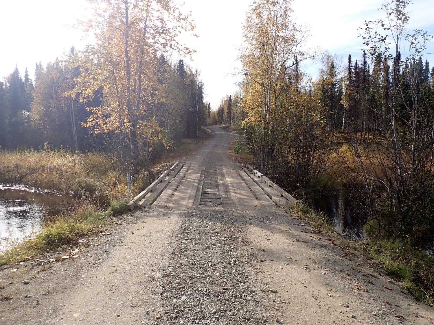
Road Name: Lynx Lake Road
Datum: NAD83
Quad Name / ITM: Anchorage C-8
AWC Stream #: 247-41-10100-2231
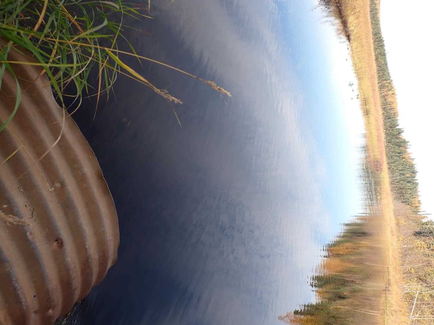
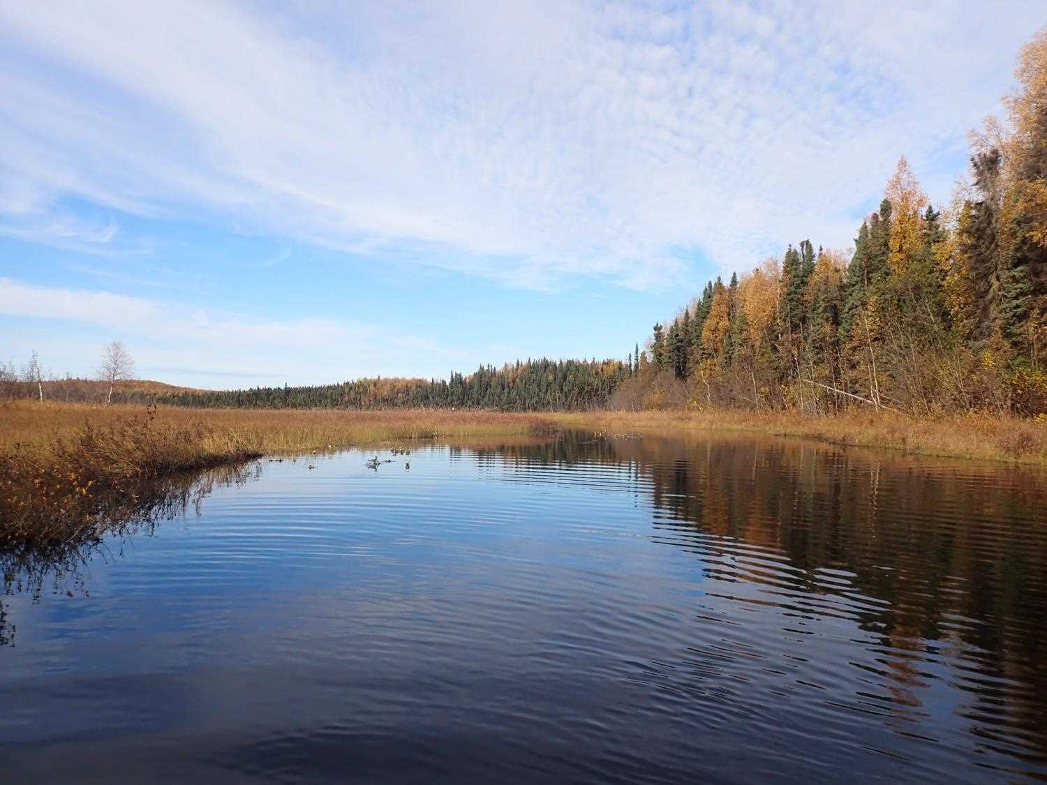
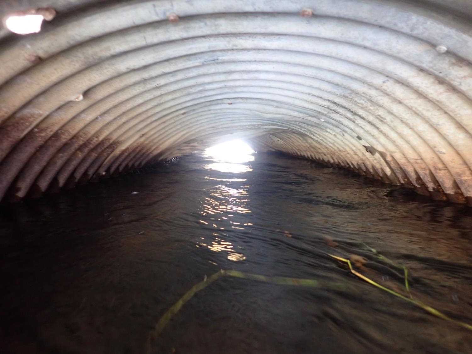
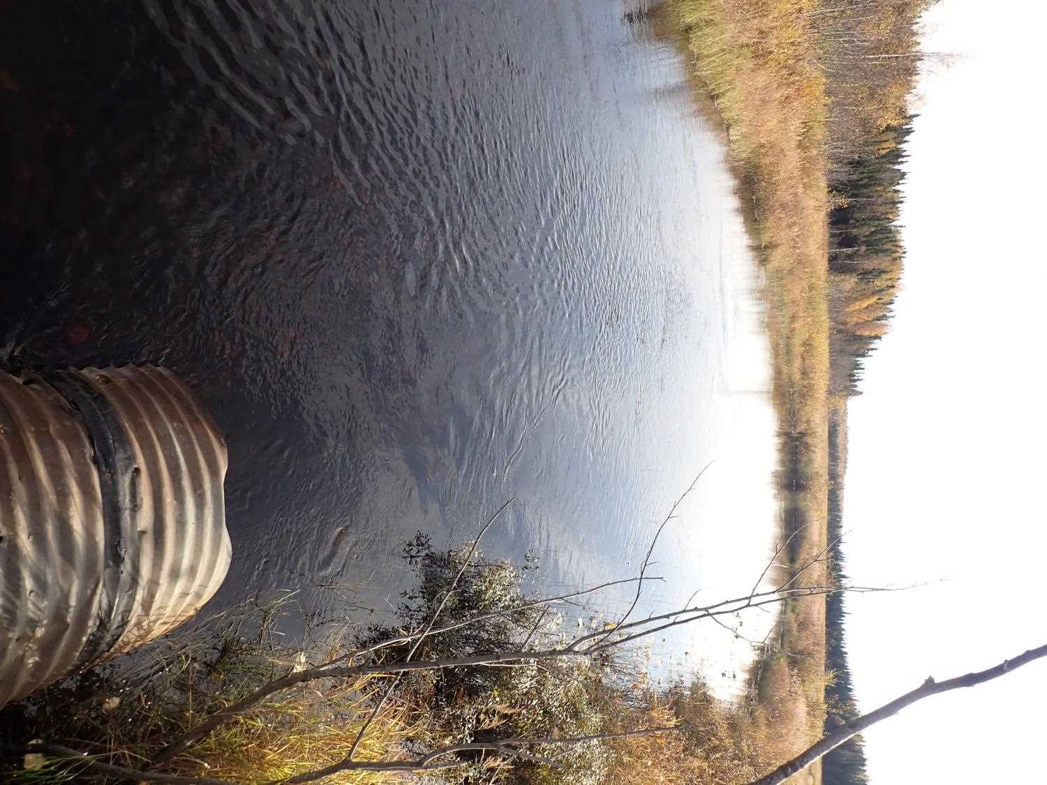
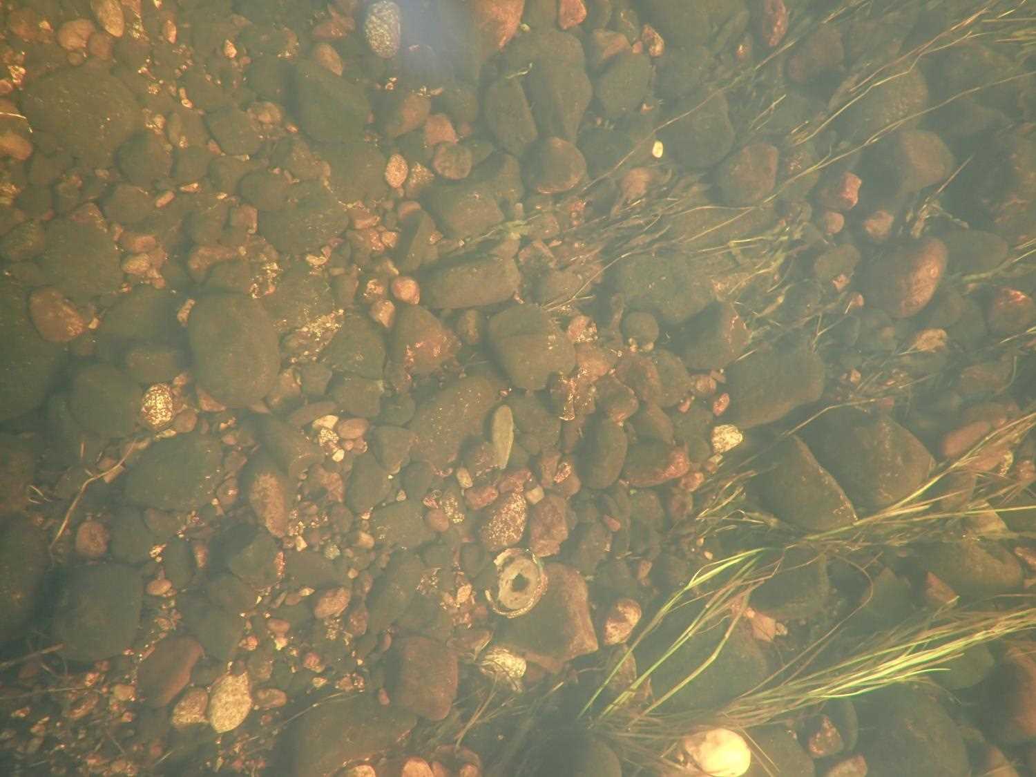
Stream Name: Lake Creek
Elevation:
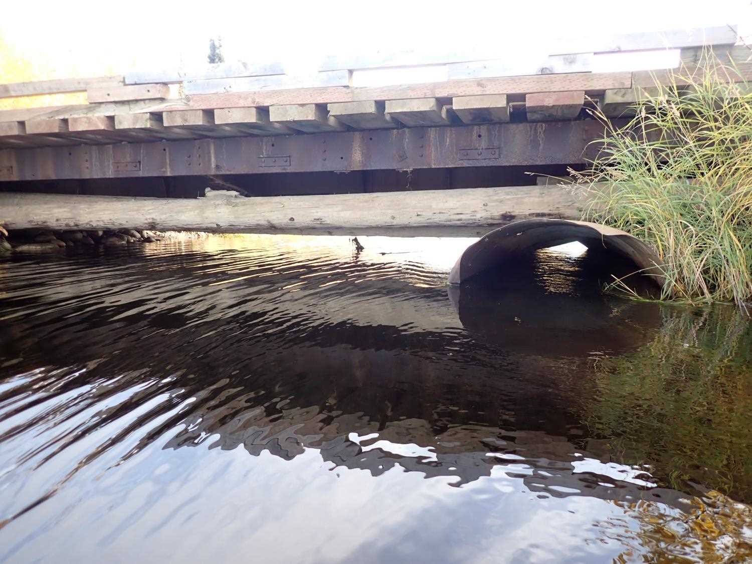
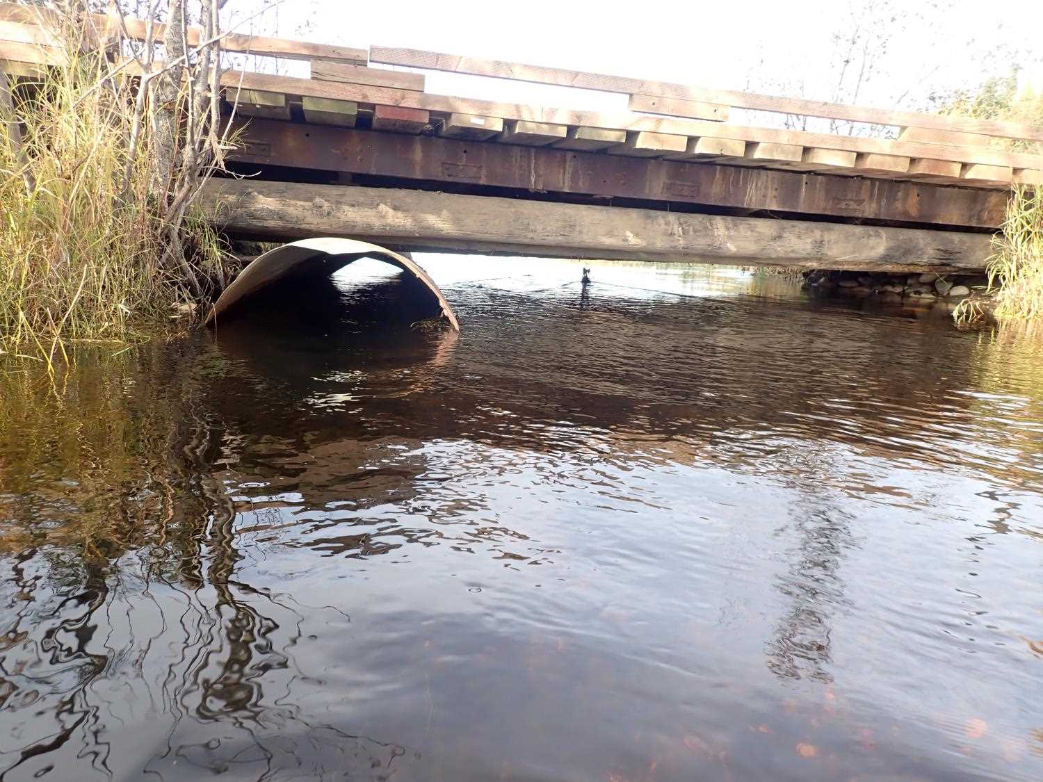
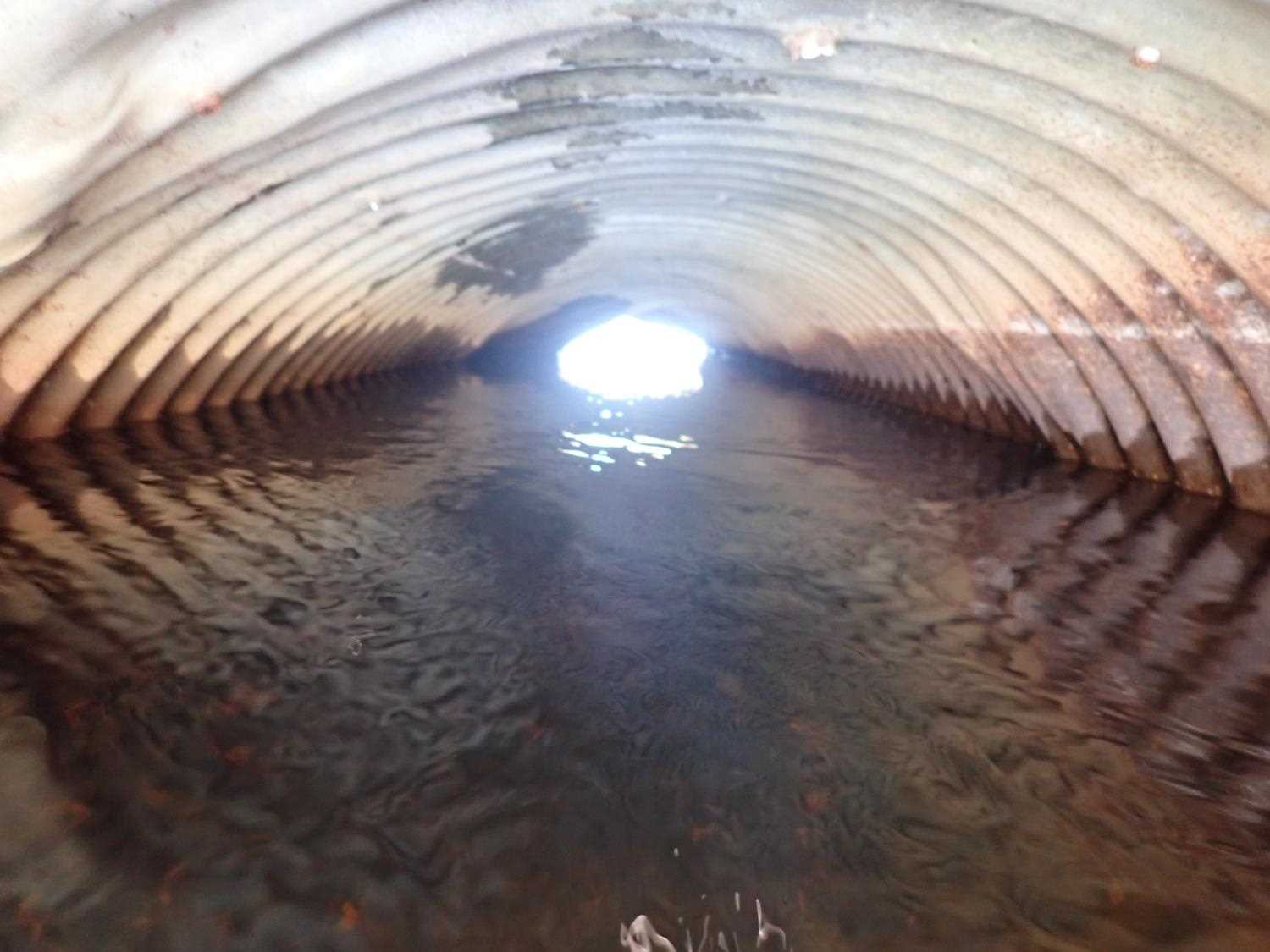
Site Comments: SUSITNA RIVER WATERSHED, CULVERTS REPLACED BY BRIDGE BUT LEFT IN CREEK, PHOTOGRAPH SITE ONLY
arrow to the right of the survey date below to choose a different report for this site.
Survey MSB23-MS068
Project Supervisor: Michael Mazzacavallo, Alaska Department of Fish and Game
— Anchorage, AK
Observers: Michael Mazzacavallo, Kat Leavitt, Beth Evers
Overall Fish Passage Rating:
Tidal: No
Backwatered: No
Step Pools: No
Construction Year:
Comments: CULVERTS REPLACED BY BRIDGE BUT LEFT IN CREEK, PHOTOGRAPH SITE ONLY
Culvert Measurements
| ID: 1 | Structure Type:N/A | Fish Passage Rating: | |||||||||||||||||||||||||||||||||||||||||
|
|
|
|||||||||||||||||||||||||||||||||||||||||
Stream Measurements
|
|
No stream width data available.
Elevations
No elevation data available.
Fish Sampling Efforts
No fish sampling occurred during this survey.
Fish Observations
No fish observations occurred during this survey.
Photos

Questions or comments about this report can be directed to dfg.dsf.webmaster@alaska.gov