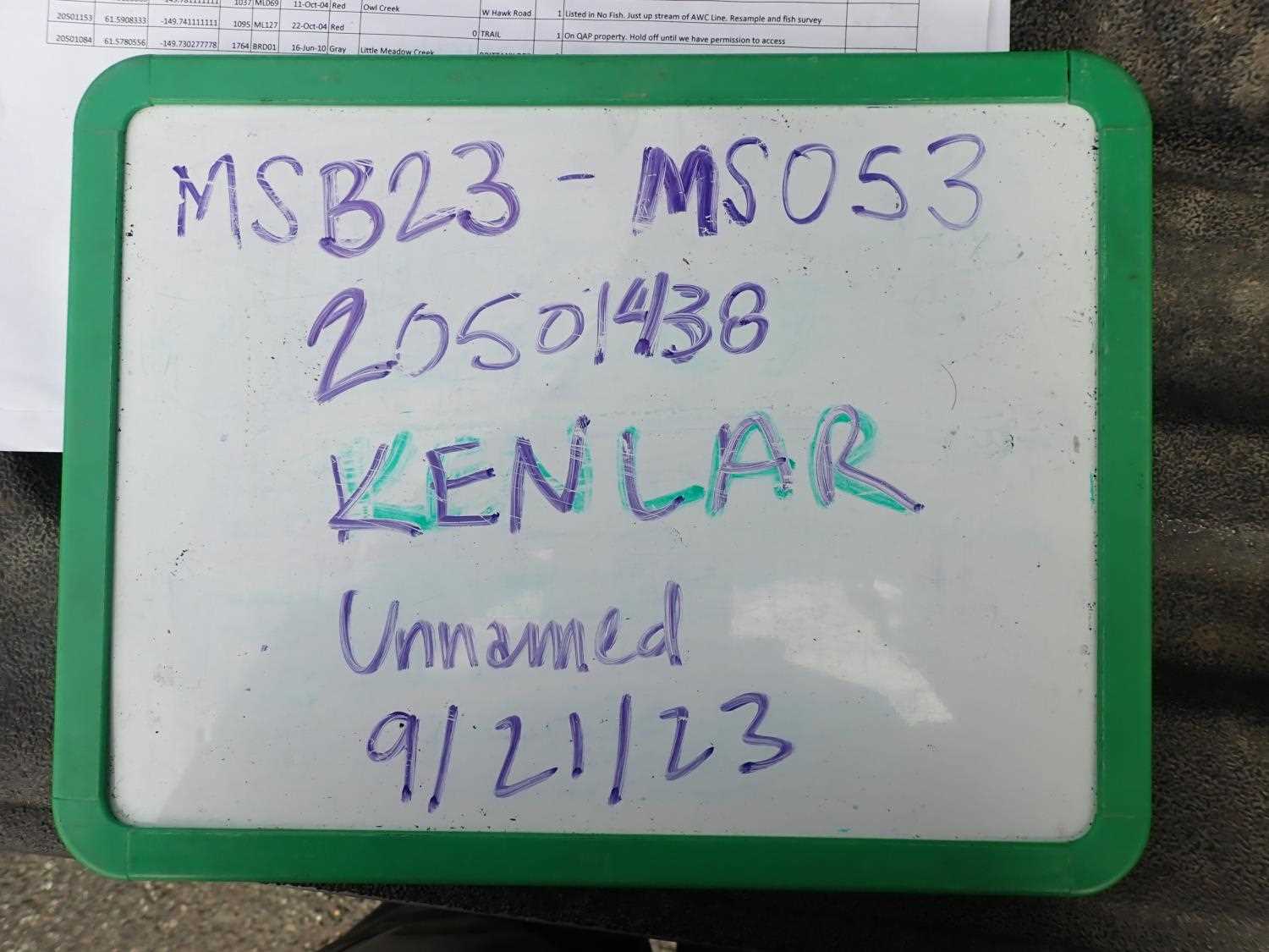
Fish Passage Site 20501438
Coordinates (dec. deg.): 61.57825°, -149.75263°
Legal Description: S017N003W11
Region: South Central
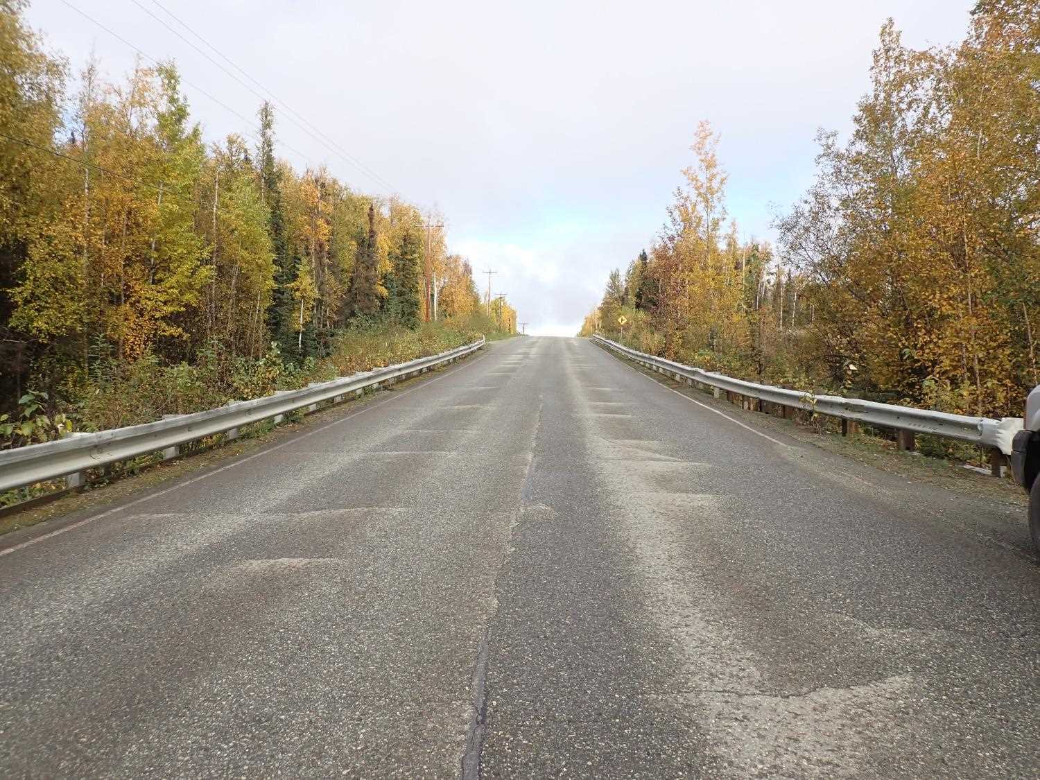
Road Name: Kenlar Road
Datum: NAD83
Quad Name / ITM: Anchorage C-8
AWC Stream #:
Stream Name: Unnamed
Elevation:
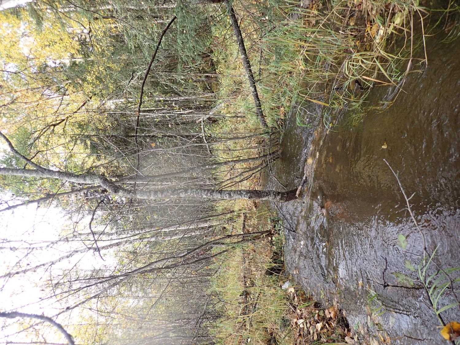
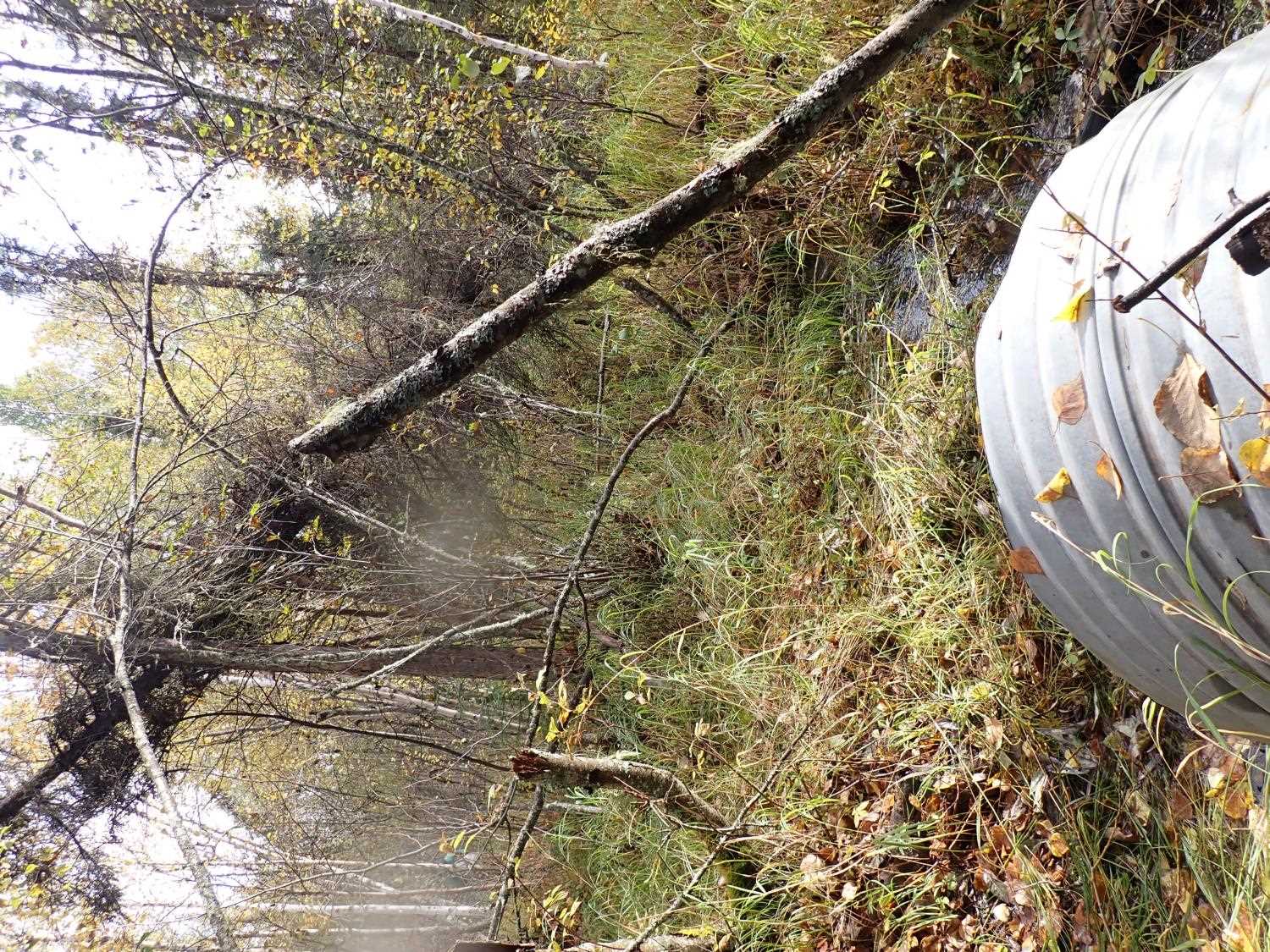
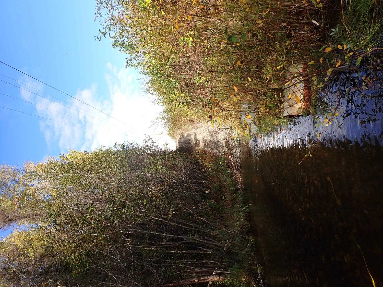
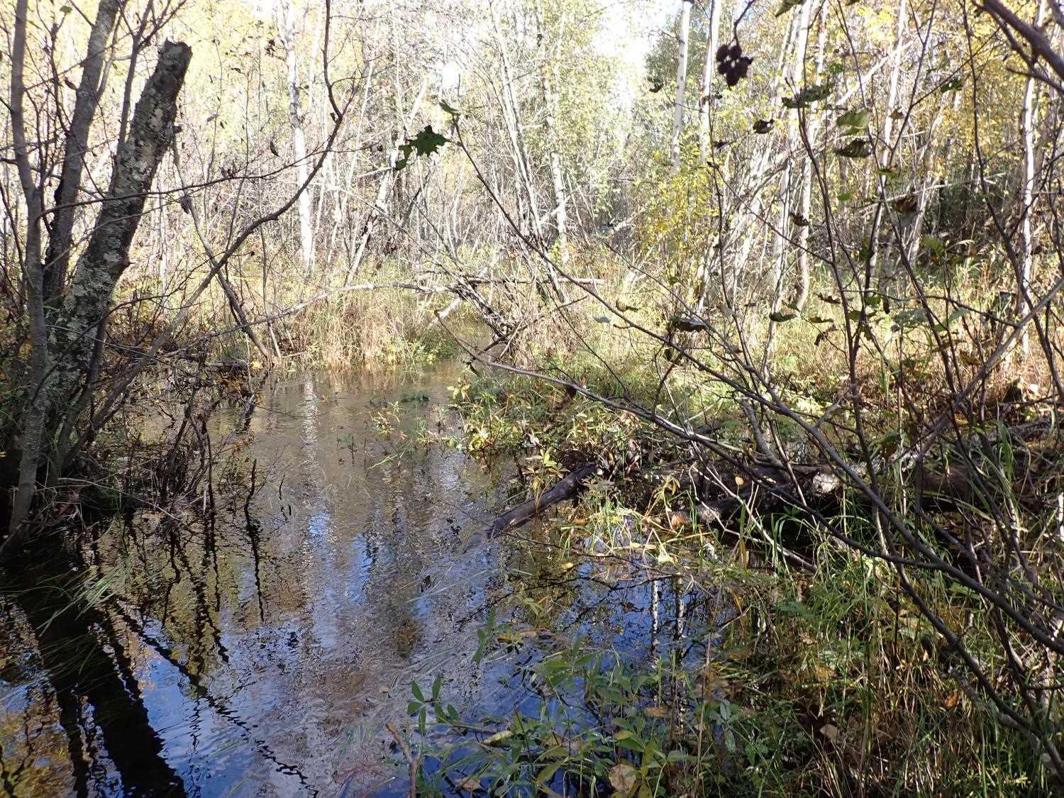
Site Comments: SUSITNA RIVER WATERSHED
arrow to the right of the survey date below to choose a different report for this site.
Survey MSB23-MS052
Project Supervisor: Michael Mazzacavallo, Alaska Department of Fish and Game
— Anchorage, AK
Observers: Michael Mazzacavallo, Kat Leavitt, Beth Evers, Amy LaBarre
Overall Fish Passage Rating:
Tidal: No
Backwatered: No
Step Pools: No
Construction Year:
Site Observations:
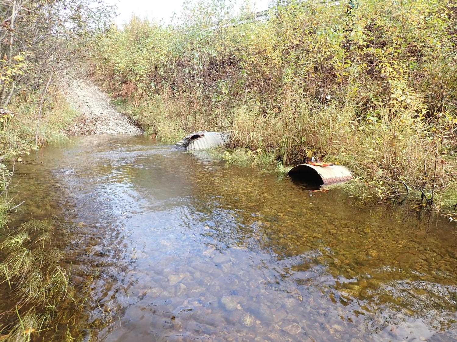
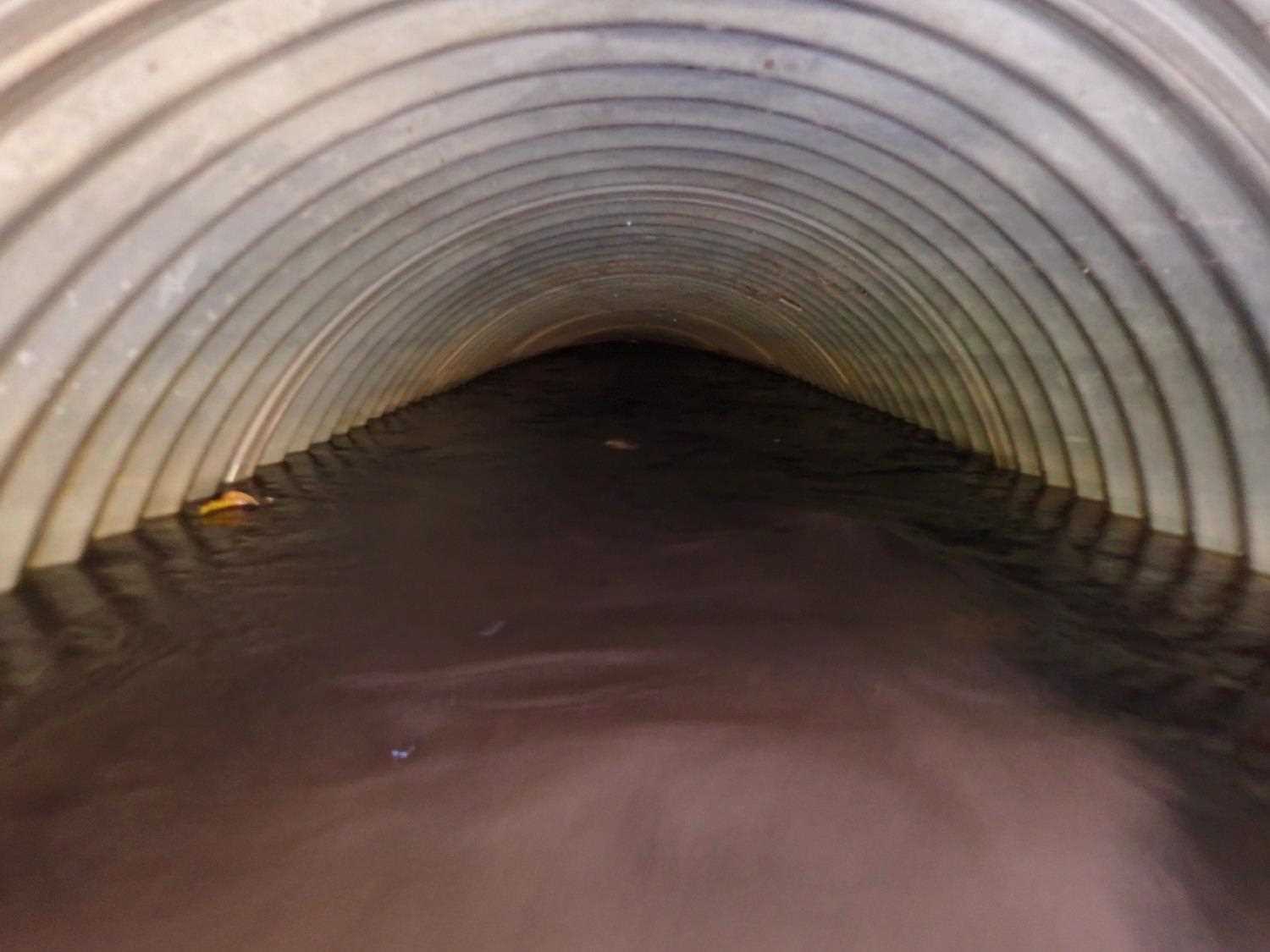
- Culvert sagging in middle
- Culvert gradient gray
- Culvert gradient red
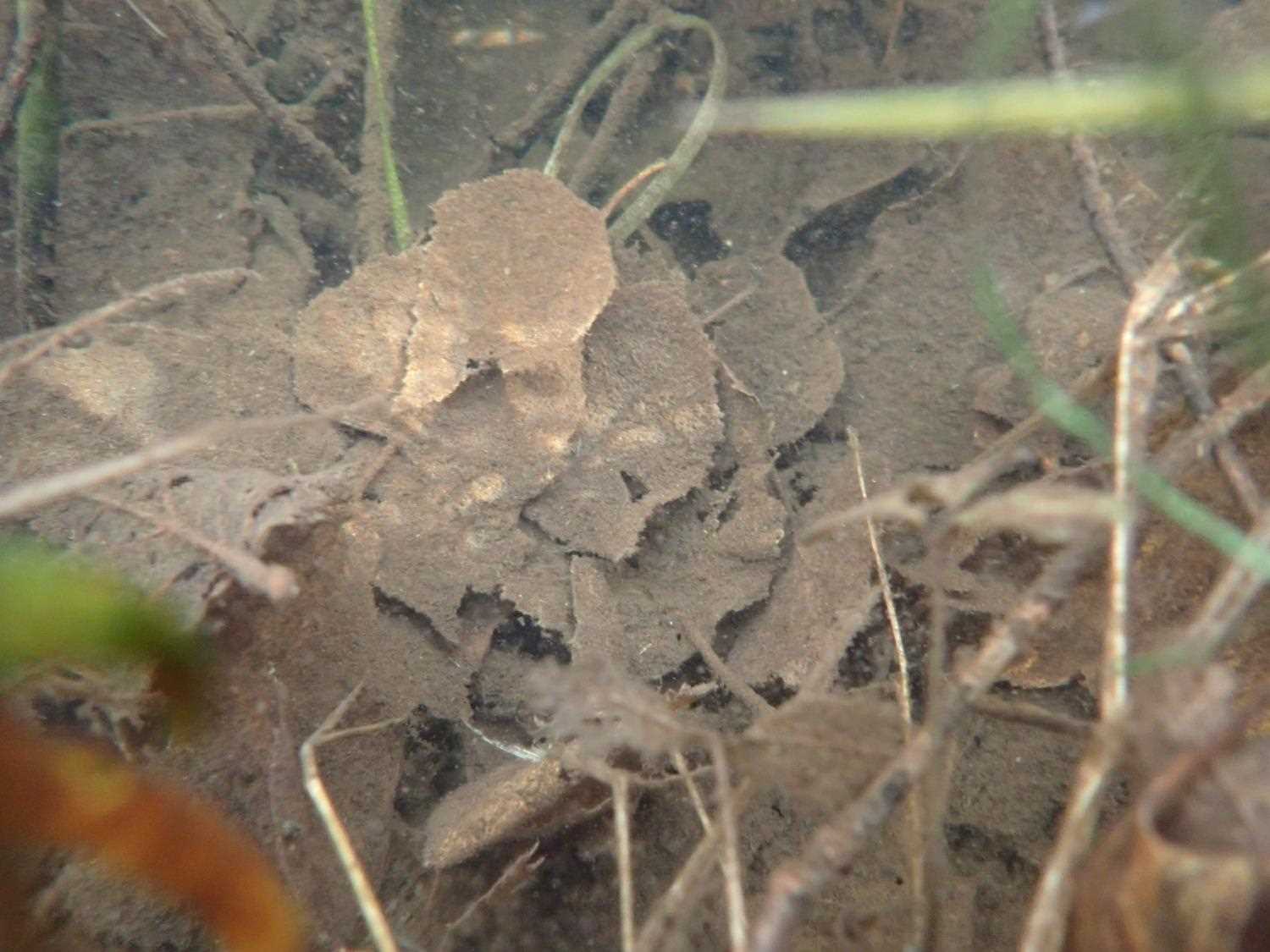
Comments: Dolly spotted
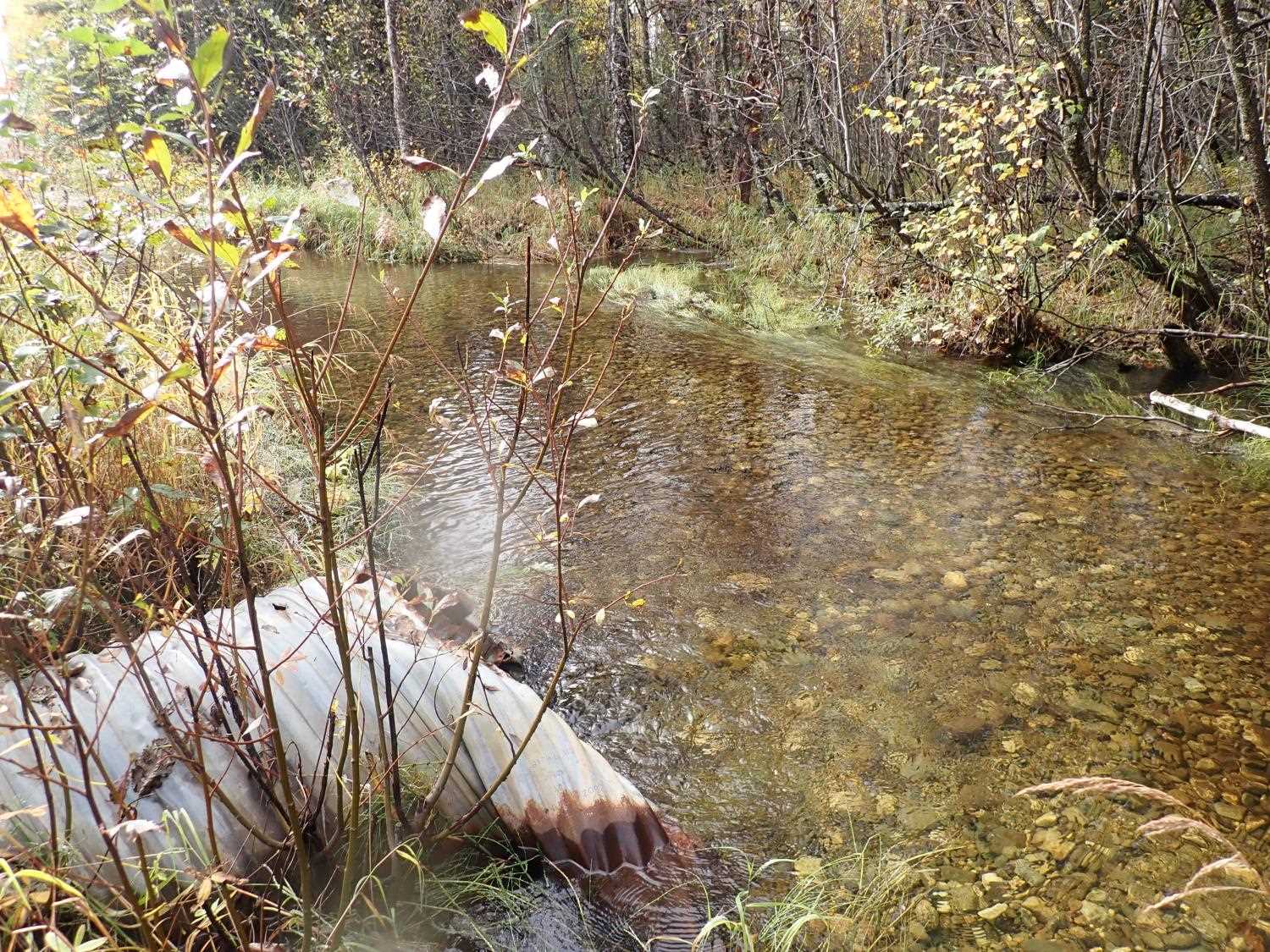
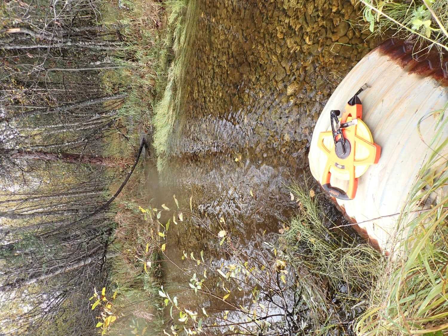
Culvert Measurements
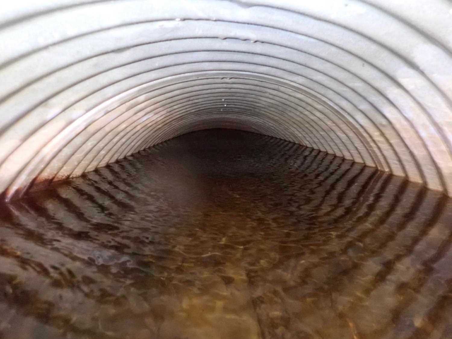
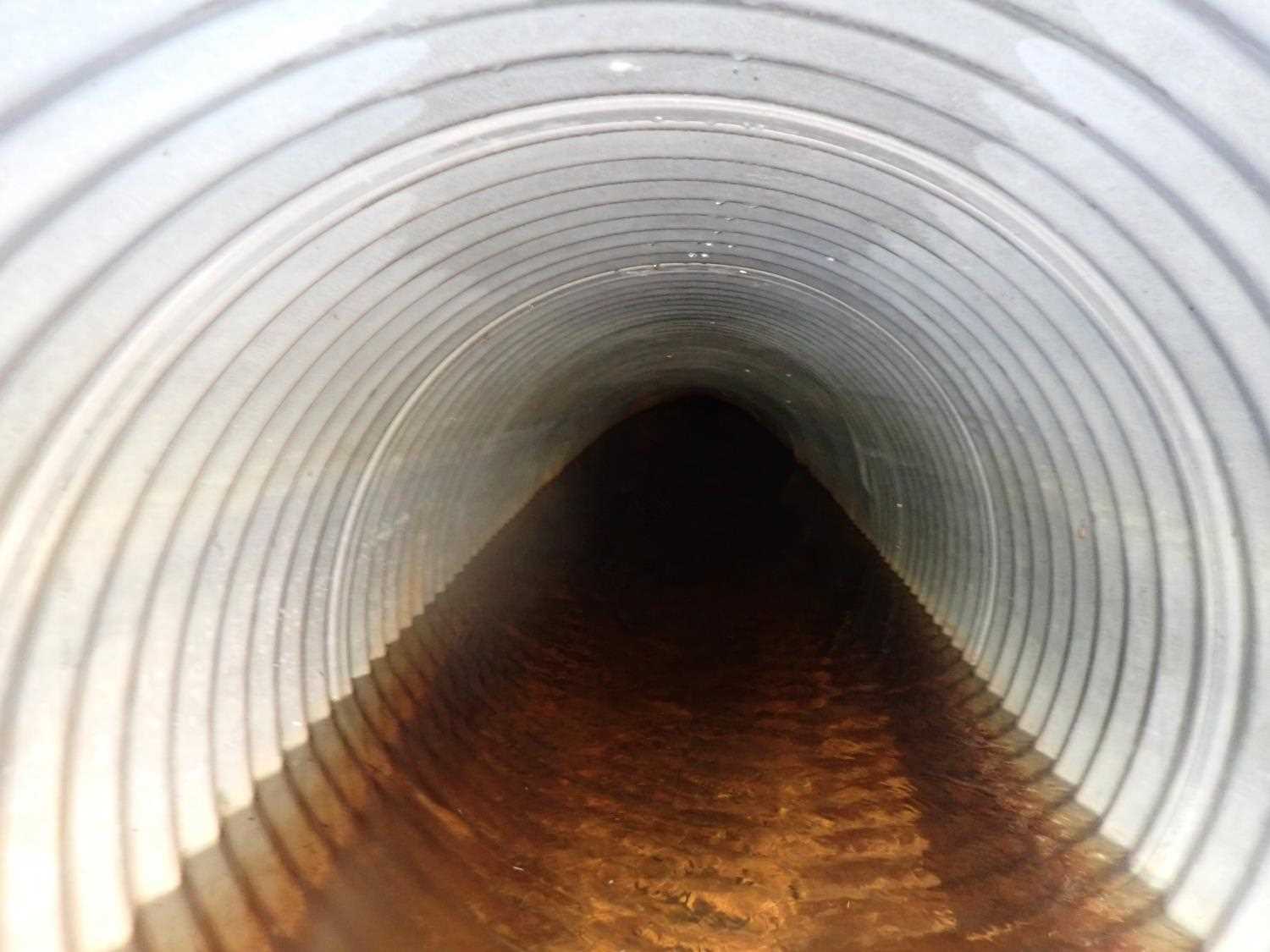
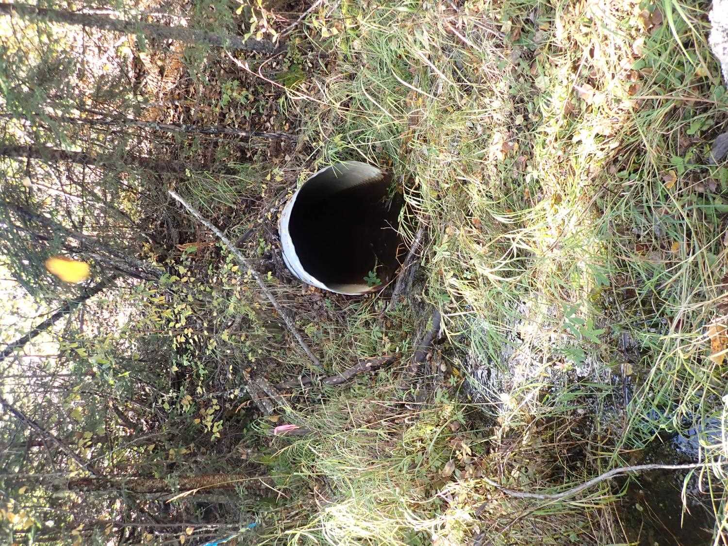
| ID: 1 | Structure Type: Circular pipe (Corrugated steel) | Fish Passage Rating: | ||||||||||||||||||||||||||||||||||||||||||
|
|
|
||||||||||||||||||||||||||||||||||||||||||
Culvert Observations:
|
||||||||||||||||||||||||||||||||||||||||||||
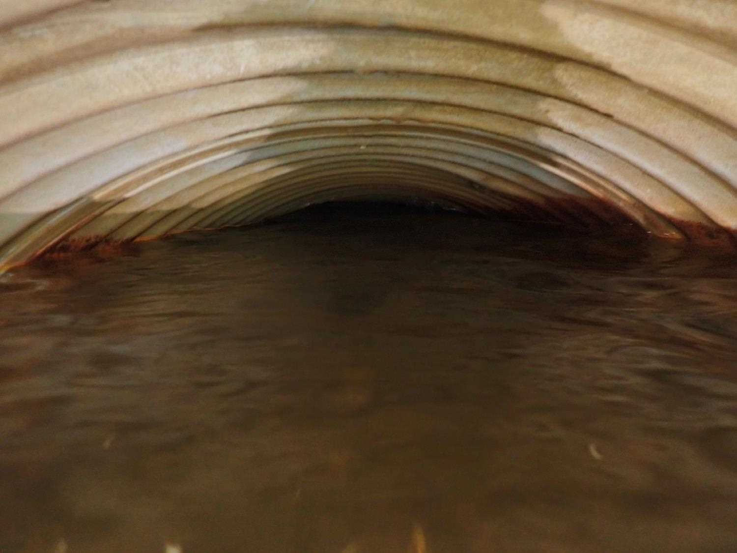
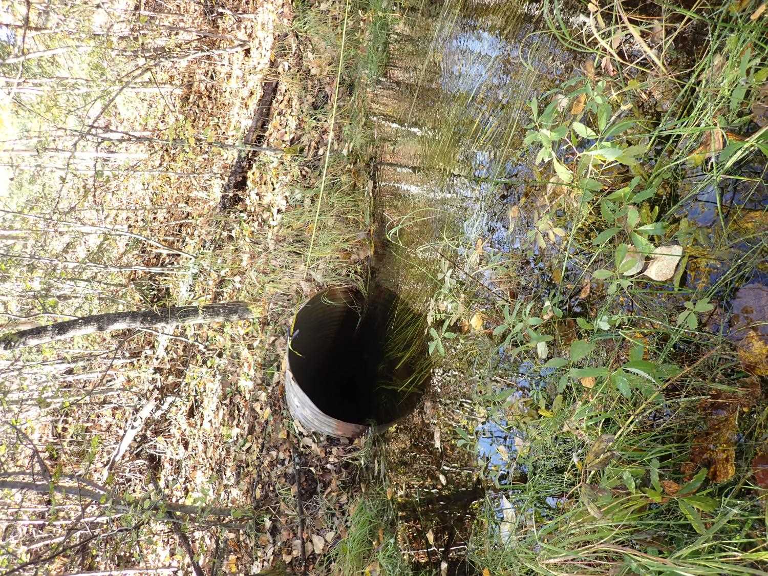
| ID: 2 | Structure Type: Circular pipe (Corrugated steel) | Fish Passage Rating: | ||||||||||||||||||||||||||||||||||||||||||
|
|
|
||||||||||||||||||||||||||||||||||||||||||
Comments: Culvert #2 is severely damaged on outlet side. Cannot see through culverts for length ( lengths taken from mapper). |
||||||||||||||||||||||||||||||||||||||||||||
Culvert Observations:
|
||||||||||||||||||||||||||||||||||||||||||||
Stream Measurements
|
|
No stream width data available.
Elevations
| Locator ID | Culvert Number |
River Distance (ft)1 |
Distance From Crossing (ft)2 |
Relative Elevation (ft) |
|---|---|---|---|---|
| Road Elev | 100.04 | |||
| U/S Water Surface Elev | 0.00 | 83.41 | ||
| U/S Thalweg | 0.00 | 81.26 | ||
| U/S Thalweg | 41.00 | 81.56 | ||
| U/S Water Surface Elev | 41.00 | 83.18 | ||
| U/S Water Surface Elev | 1 | 82.00 | 83.01 | |
| U/S Water Surface Elev | 2 | 82.00 | 83.07 | |
| Inlet Culvert Invert | 2 | 82.00 | 81.60 | |
| Inlet Culvert Invert | 1 | 82.00 | 82.33 | |
| Inlet Culvert Top | 2 | 82.00 | 84.69 | |
| Inlet Culvert Top | 1 | 82.00 | 85.46 | |
| Outlet Culvert Top | 1 | 176.00 | 83.74 | |
| Outlet Invert | 1 | 176.00 | 81.76 | |
| D/S Water Surface Elev | 1 | 176.00 | 83.16 | |
| D/S Water Surface Elev | 2 | 178.00 | 83.12 | |
| Outlet Invert | 2 | 178.00 | 81.87 | |
| Outlet Culvert Top | 2 | 178.00 | 84.17 | |
| D/S Thalweg | 201.00 | 81.57 | ||
| D/S Water Surface Elev | 201.00 | 83.09 | ||
| D/S Thalweg | 215.00 | 82.70 | ||
| D/S Water Surface Elev | 215.00 | 82.91 | ||
| D/S Water Surface Elev | 248.00 | 82.60 | ||
| D/S Thalweg | 248.00 | 80.31 | ||
| D/S Thalweg | 268.00 | 80.22 | ||
| D/S Water Surface Elev | 268.00 | 82.41 |
Notes:
- River distance is measured continuously throughout the survey reach along the thalweg of the stream.
- Measured from each end of the crossing along the thalweg of the stream.
Fish Sampling Efforts
No fish sampling occurred during this survey.
Fish Observations
No fish observations occurred during this survey.
Photos

Questions or comments about this report can be directed to dfg.dsf.webmaster@alaska.gov