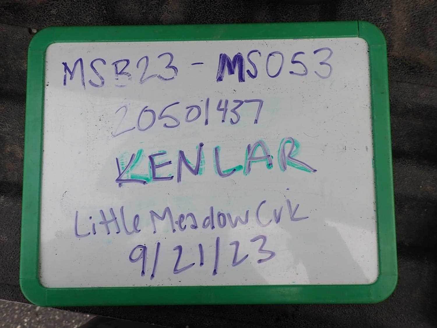
Fish Passage Site 20501437
Coordinates (dec. deg.): 61.56901°, -149.75970°
Legal Description: S017N003W14
Region: South Central
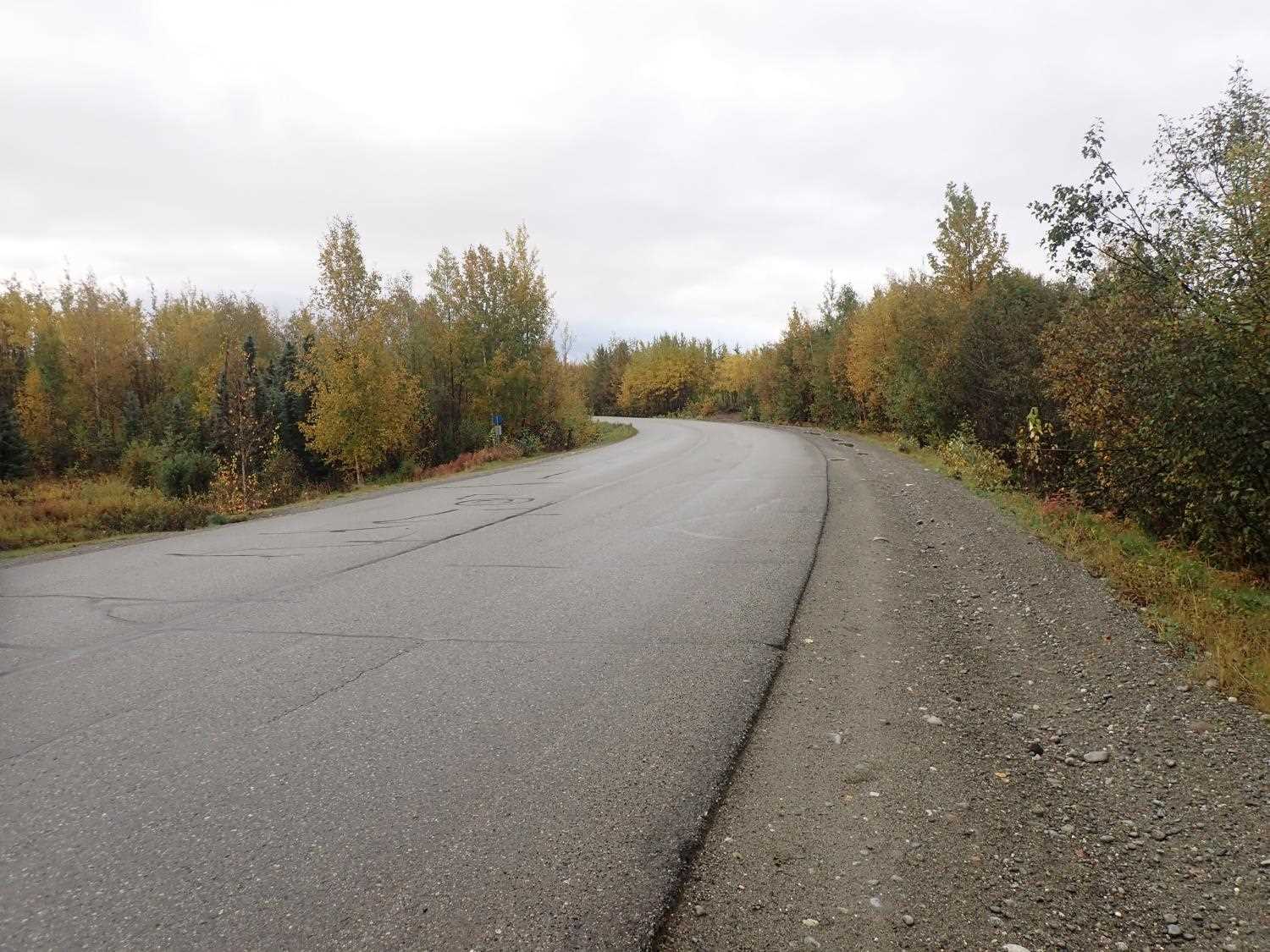
Road Name: Kenlar Road
Datum: NAD83
Quad Name / ITM: Anchorage C-8
AWC Stream #: 247-50-10330-2050-3050
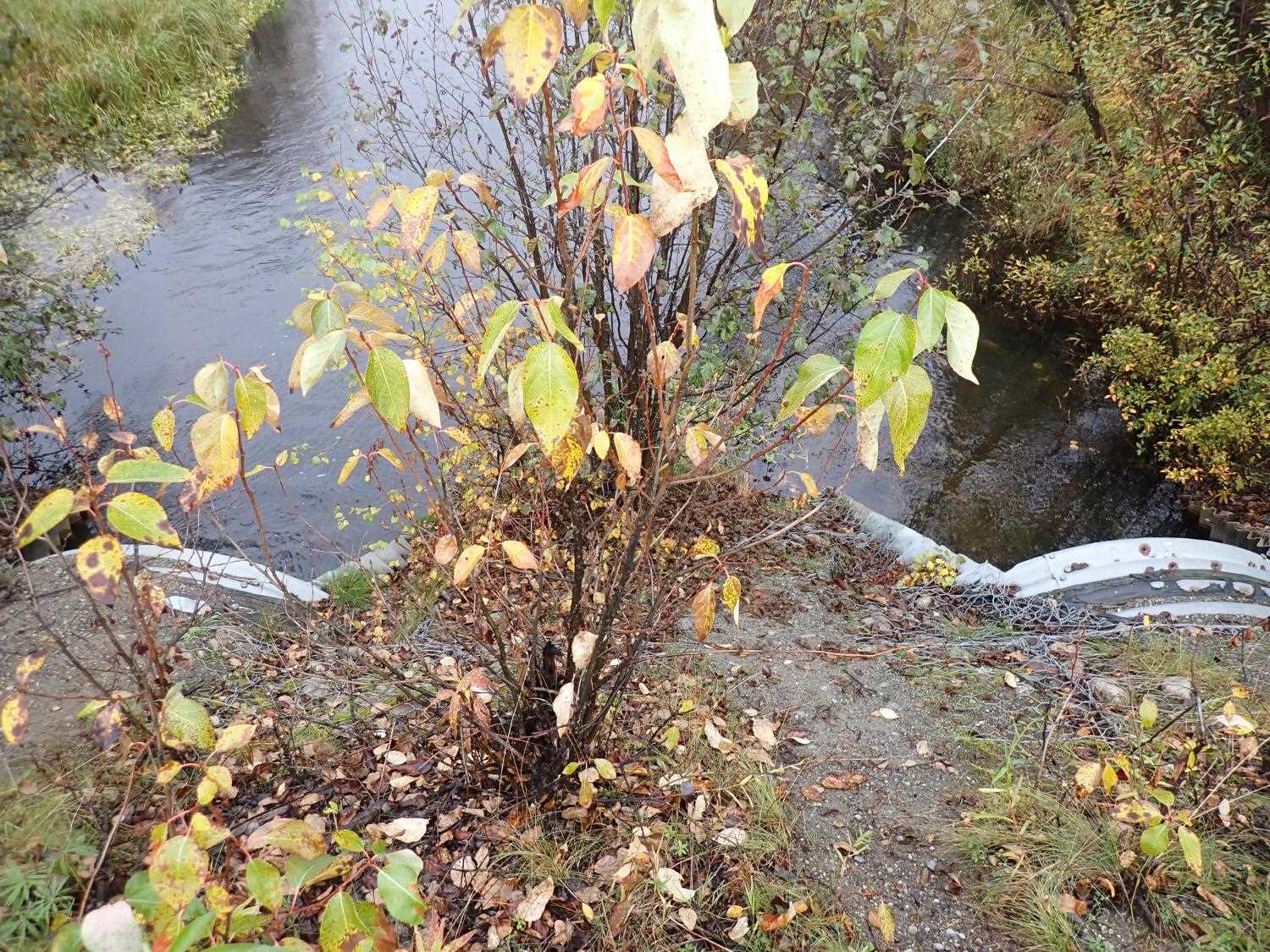
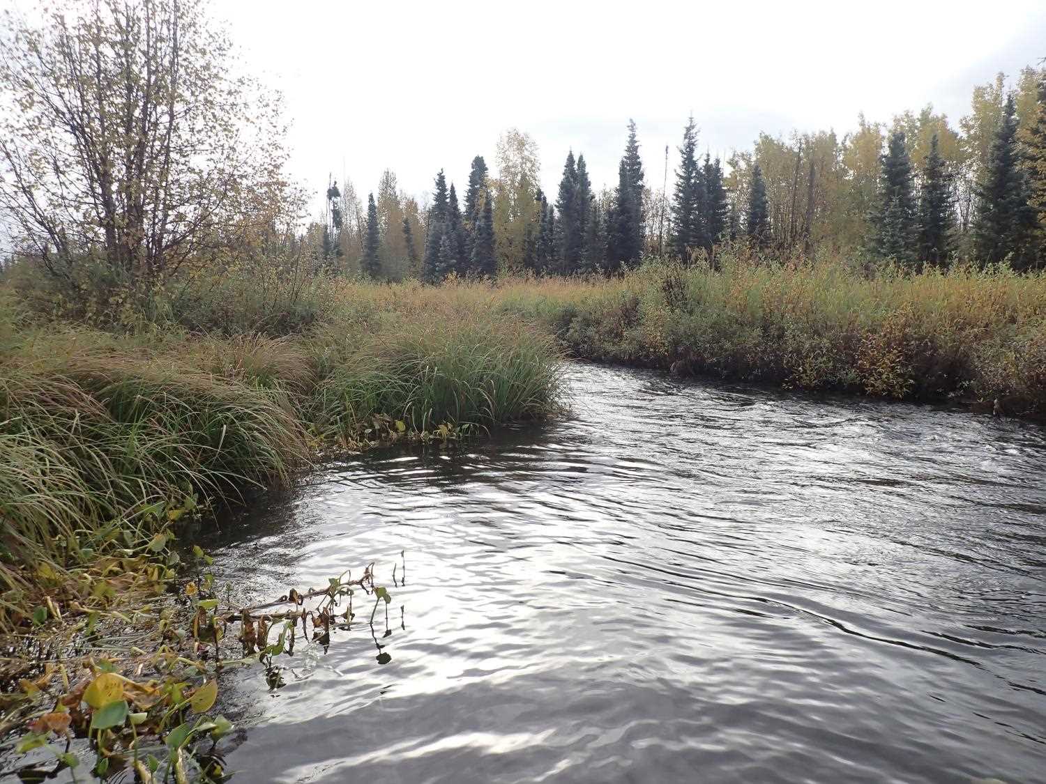
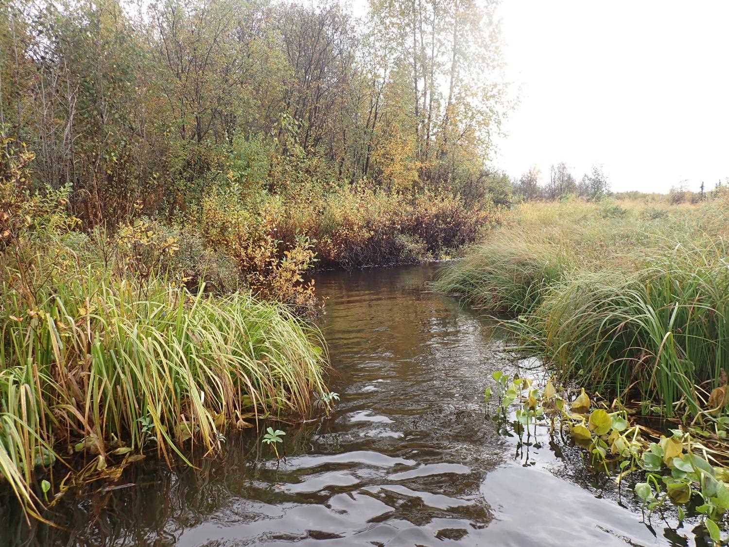
Stream Name: Little Meadow Creek
Elevation:
Site Comments: SUSITNA RIVER WATERSHED
arrow to the right of the survey date below to choose a different report for this site.
Survey MSB23-MS053
Project Supervisor: Michael Mazzacavallo, Alaska Department of Fish and Game
— Anchorage, AK
Observers: Michael Mazzacavallo, Beth Evers, Amy LaBarre
Overall Fish Passage Rating:
Tidal: No
Backwatered: No
Step Pools: No
Construction Year:
Site Observations:
- Constriction ratio red
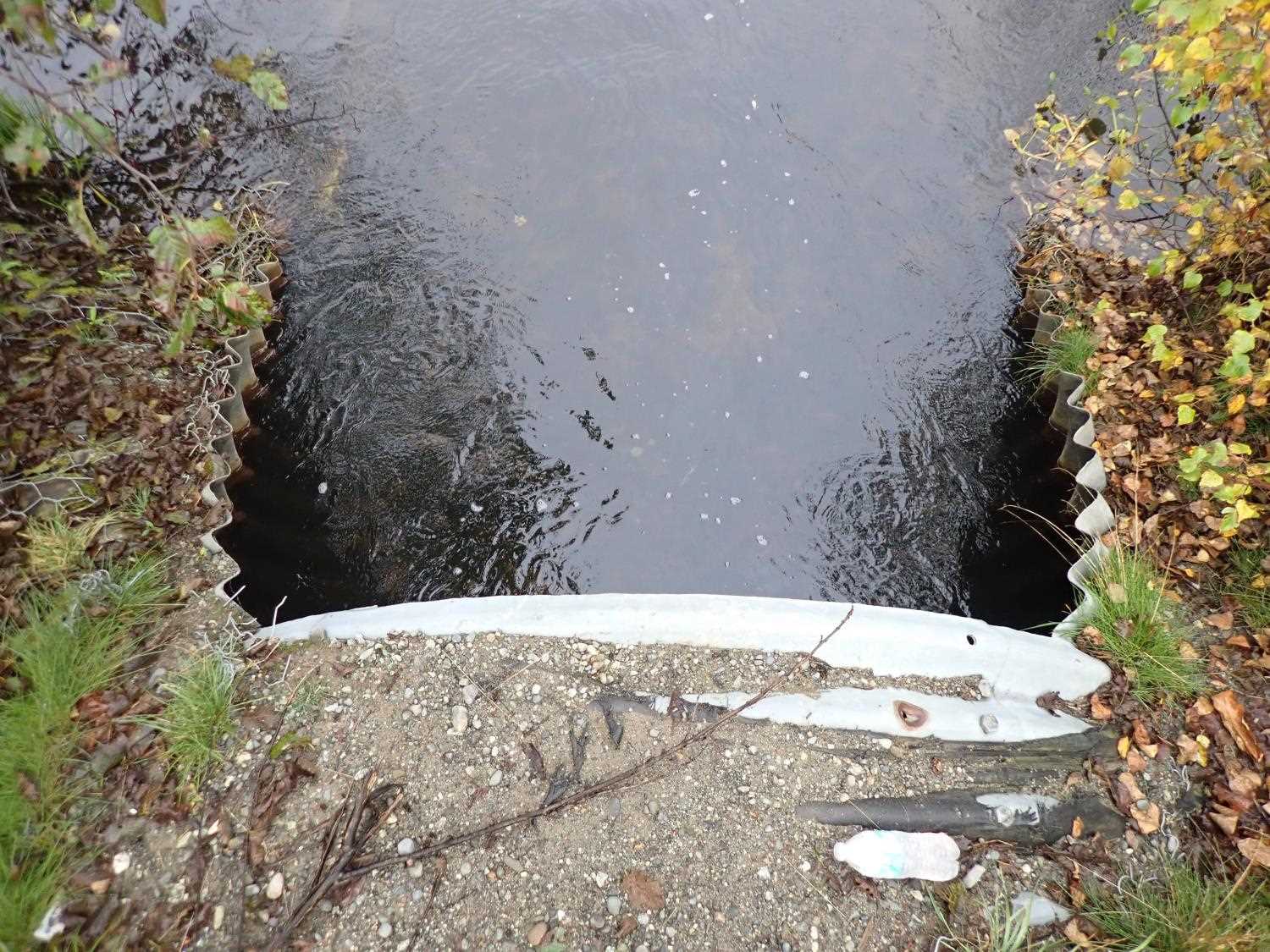
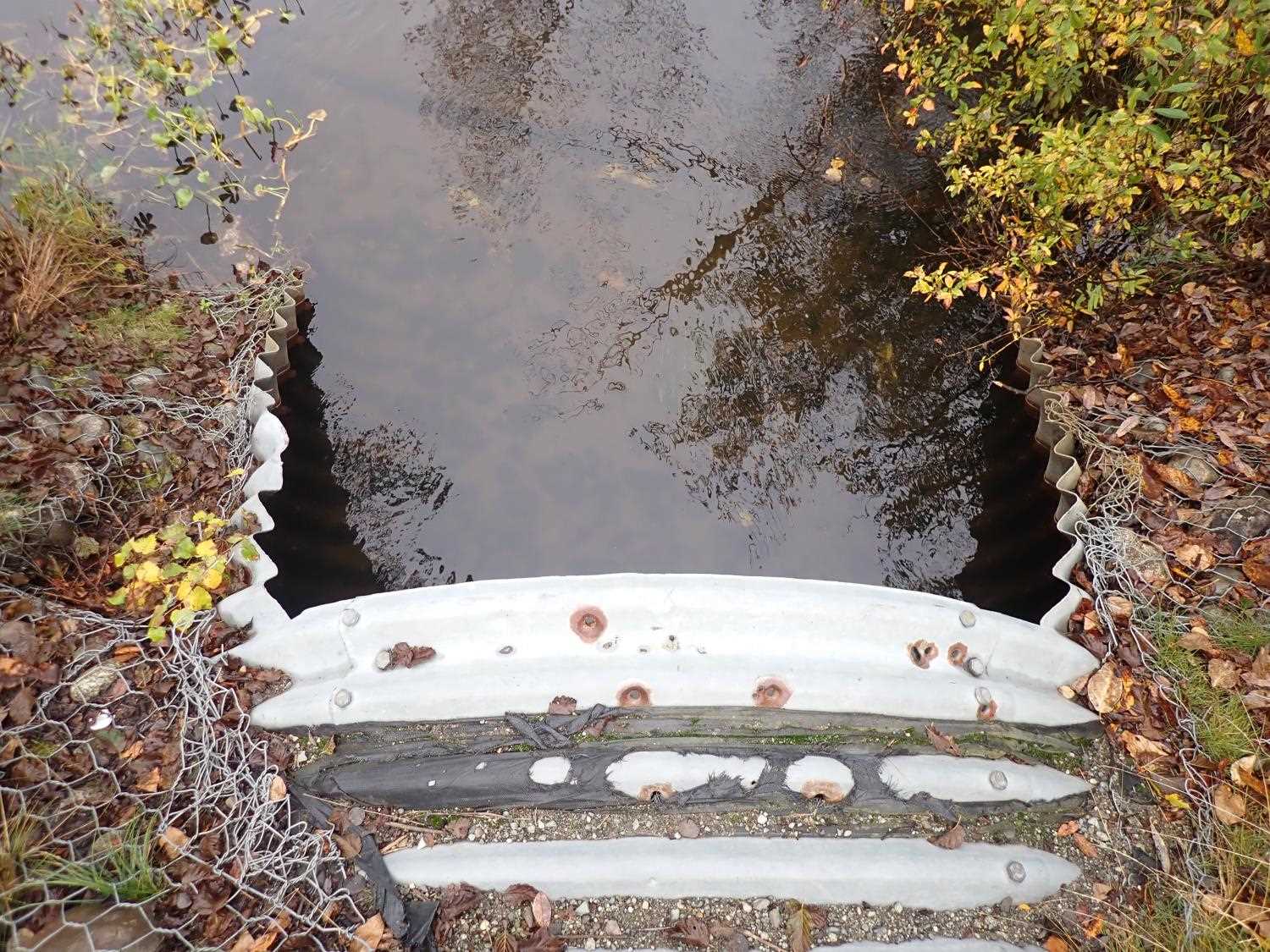
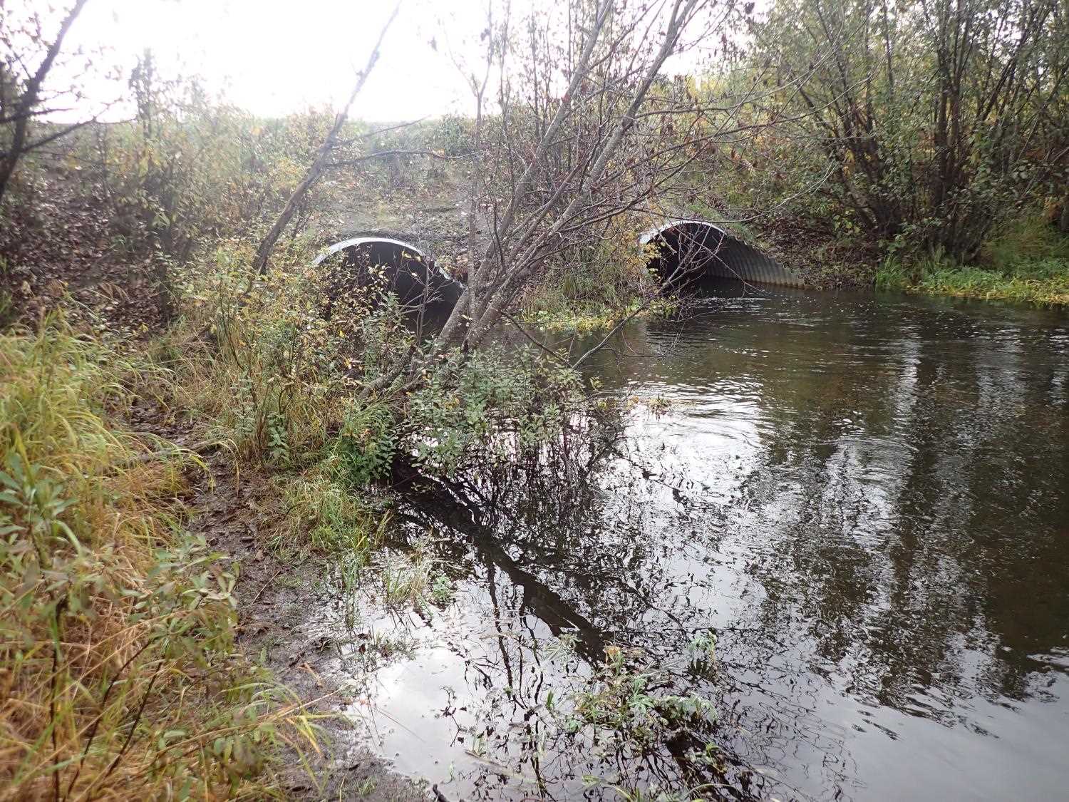
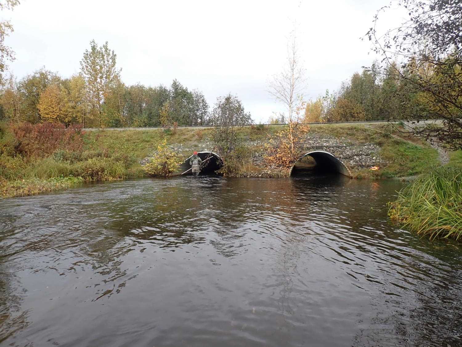
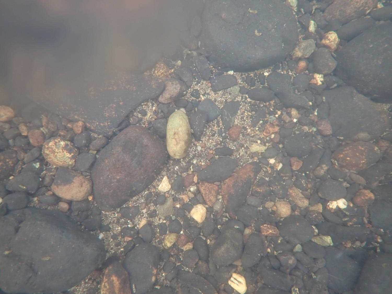
Comments: Large amounts of spawned dead adult Sockeye/Coho upstream and downstream. Several Dollys and 1 live Sockeye observed. Main channel flows through culvert 1.
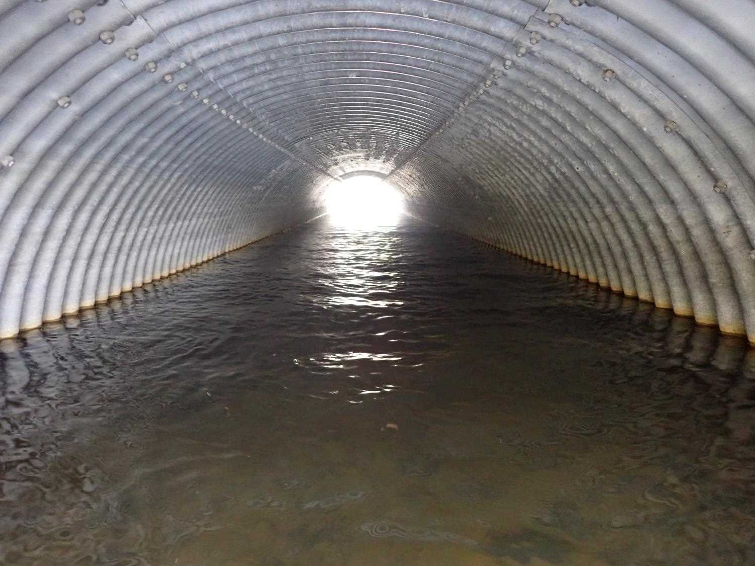
Culvert Measurements
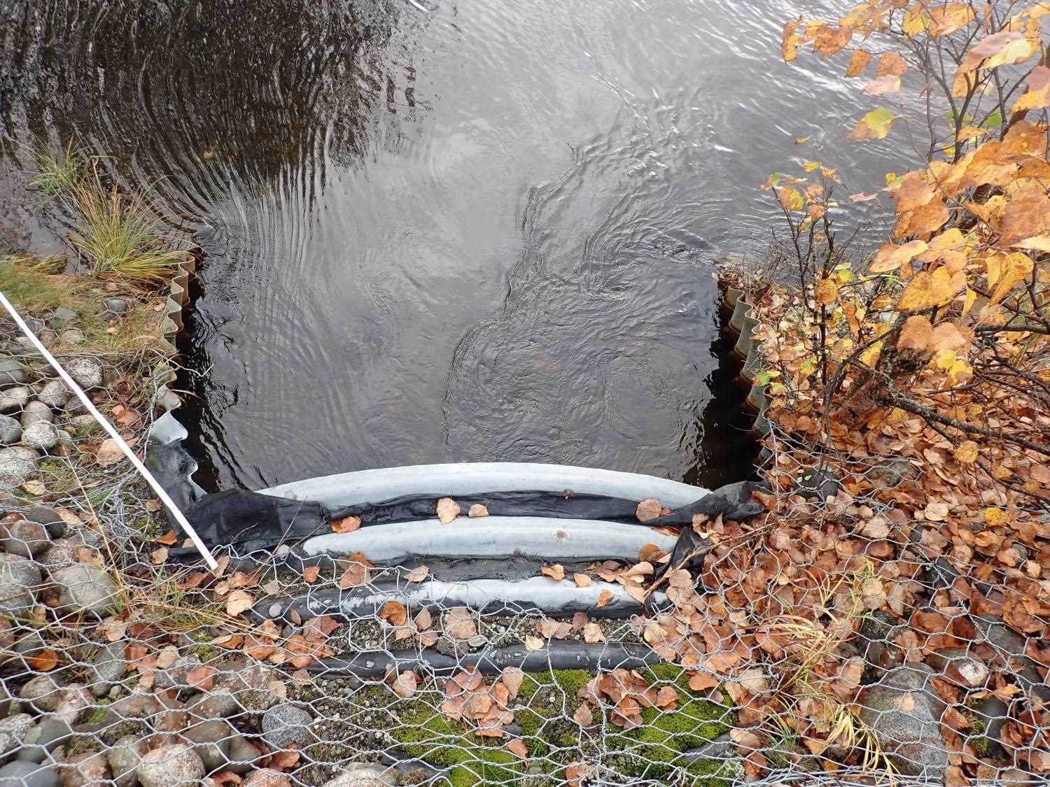
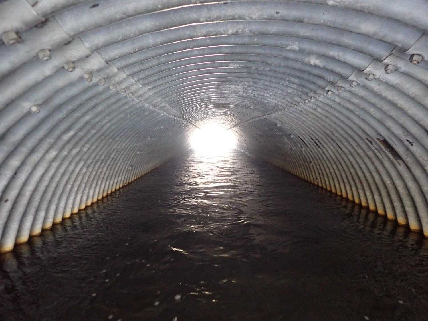
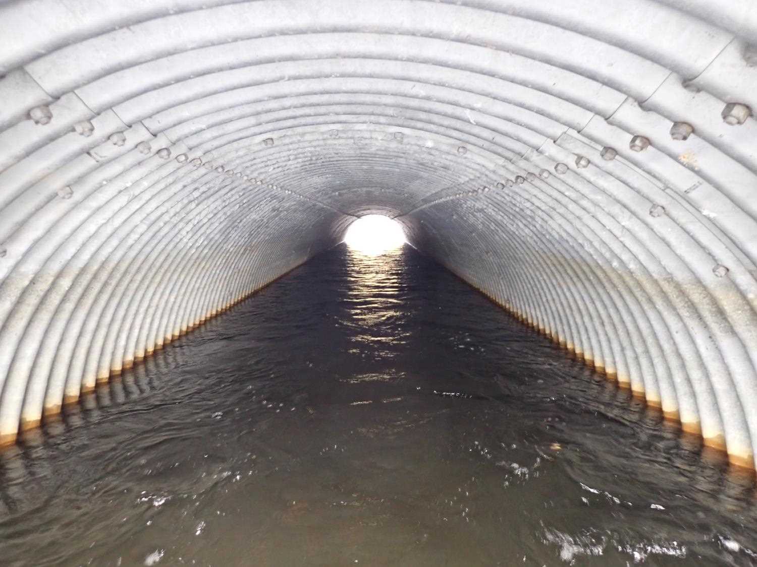
| ID: 1 | Structure Type: Pipe-arch (Structural steel plate) | Fish Passage Rating: | ||||||||||||||||||||||||||||||||||||||||||
|
|
|
||||||||||||||||||||||||||||||||||||||||||
Comments: Unable to get a substrate depth due to the water being too deep.Mitering length added to the length. |
||||||||||||||||||||||||||||||||||||||||||||
Culvert Observations:
|
||||||||||||||||||||||||||||||||||||||||||||
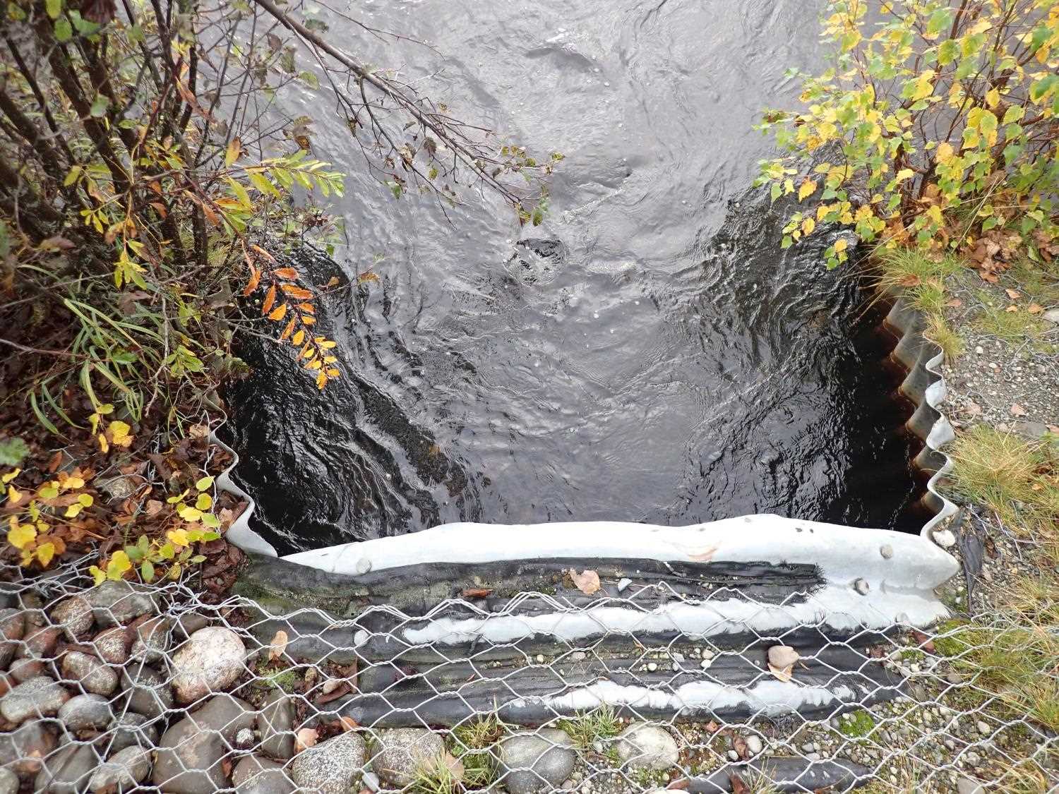
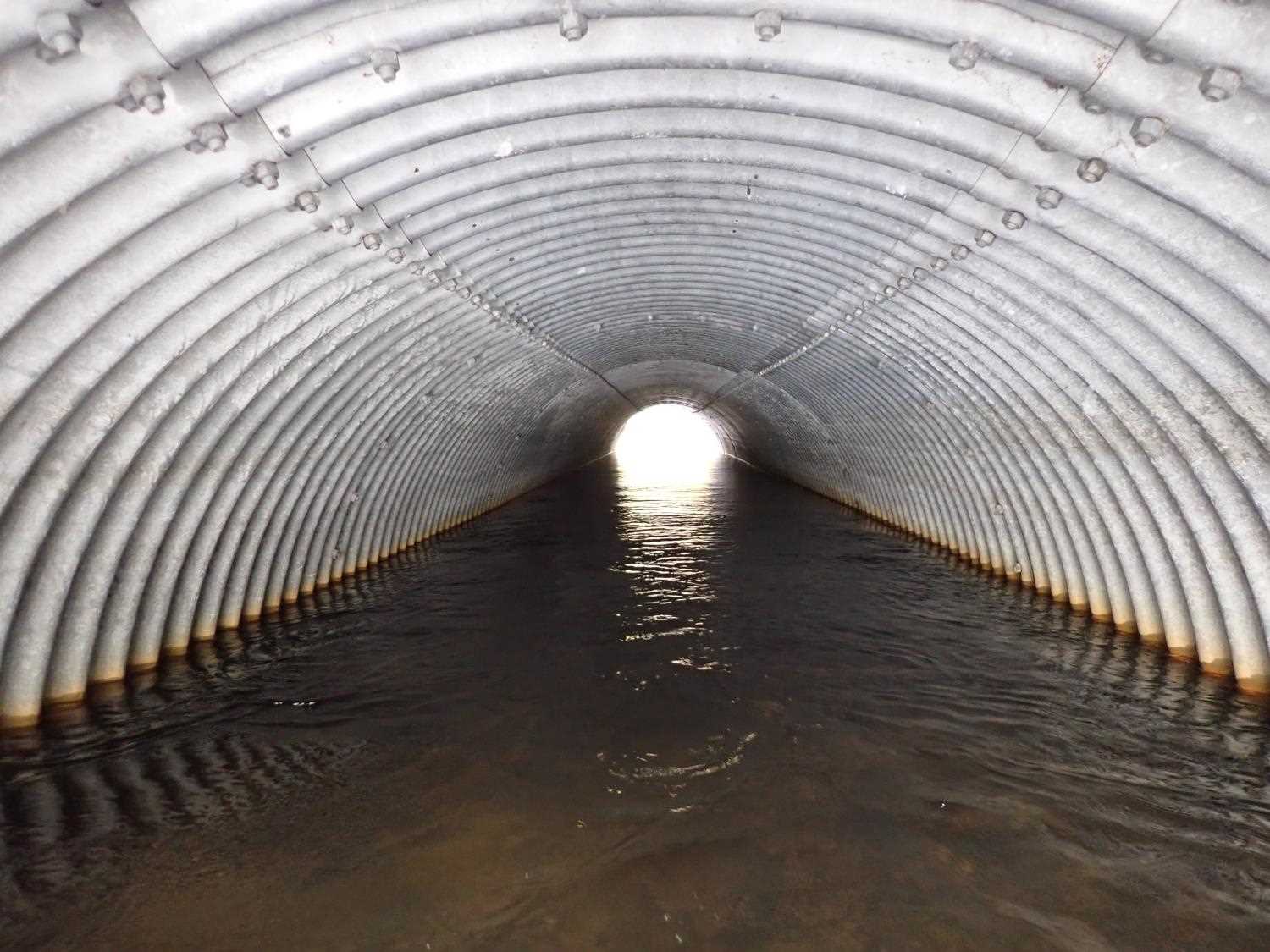
| ID: 2 | Structure Type: Pipe-arch (Structural steel plate) | Fish Passage Rating: | ||||||||||||||||||||||||||||||||||||||||||
|
|
|
||||||||||||||||||||||||||||||||||||||||||
Comments: Unable to get a substrate depth due to the water being too deep.Mitering length added to the length. |
||||||||||||||||||||||||||||||||||||||||||||
Culvert Observations:
|
||||||||||||||||||||||||||||||||||||||||||||
Stream Measurements
|
|
| Stream Width Type | Distance From Crossing (ft) |
Stream Width (ft) |
|---|---|---|
| Downstream ordinary high water | 86.0 | 39.00 |
| Downstream ordinary high water | 110.0 | 35.00 |
| Downstream ordinary high water | 150.0 | 46.00 |
Elevations
| Locator ID | Culvert Number |
River Distance (ft)1 |
Distance From Crossing (ft)2 |
Relative Elevation (ft) |
|---|---|---|---|---|
| Road Elev | 101.39 | |||
| D/S Thalweg | 0.00 | 87.99 | ||
| D/S Water Surface Elev | 0.00 | 90.17 | ||
| D/S Water Surface Elev | 2 | 100.00 | 90.18 | |
| Outlet Invert | 1 | 100.00 | 87.84 | |
| Outlet Invert | 2 | 100.00 | 87.86 | |
| D/S Water Surface Elev | 1 | 100.00 | 90.28 | |
| Outlet Culvert Top | 1 | 100.00 | 94.04 | |
| Outlet Culvert Top | 2 | 100.00 | 94.06 | |
| Inlet Culvert Top | 2 | 190.32 | 94.27 | |
| Inlet Culvert Invert | 2 | 190.32 | 88.31 | |
| U/S Water Surface Elev | 2 | 190.32 | 90.21 | |
| Inlet Culvert Invert | 1 | 190.58 | 90.22 | |
| Inlet Culvert Top | 1 | 190.58 | 94.31 | |
| U/S Water Surface Elev | 296.32 | 90.49 | ||
| U/S Thalweg | 296.32 | 88.92 |
Notes:
- River distance is measured continuously throughout the survey reach along the thalweg of the stream.
- Measured from each end of the crossing along the thalweg of the stream.
Fish Sampling Efforts
No fish sampling occurred during this survey.
Fish Observations
No fish observations occurred during this survey.
Photos


Questions or comments about this report can be directed to dfg.dsf.webmaster@alaska.gov