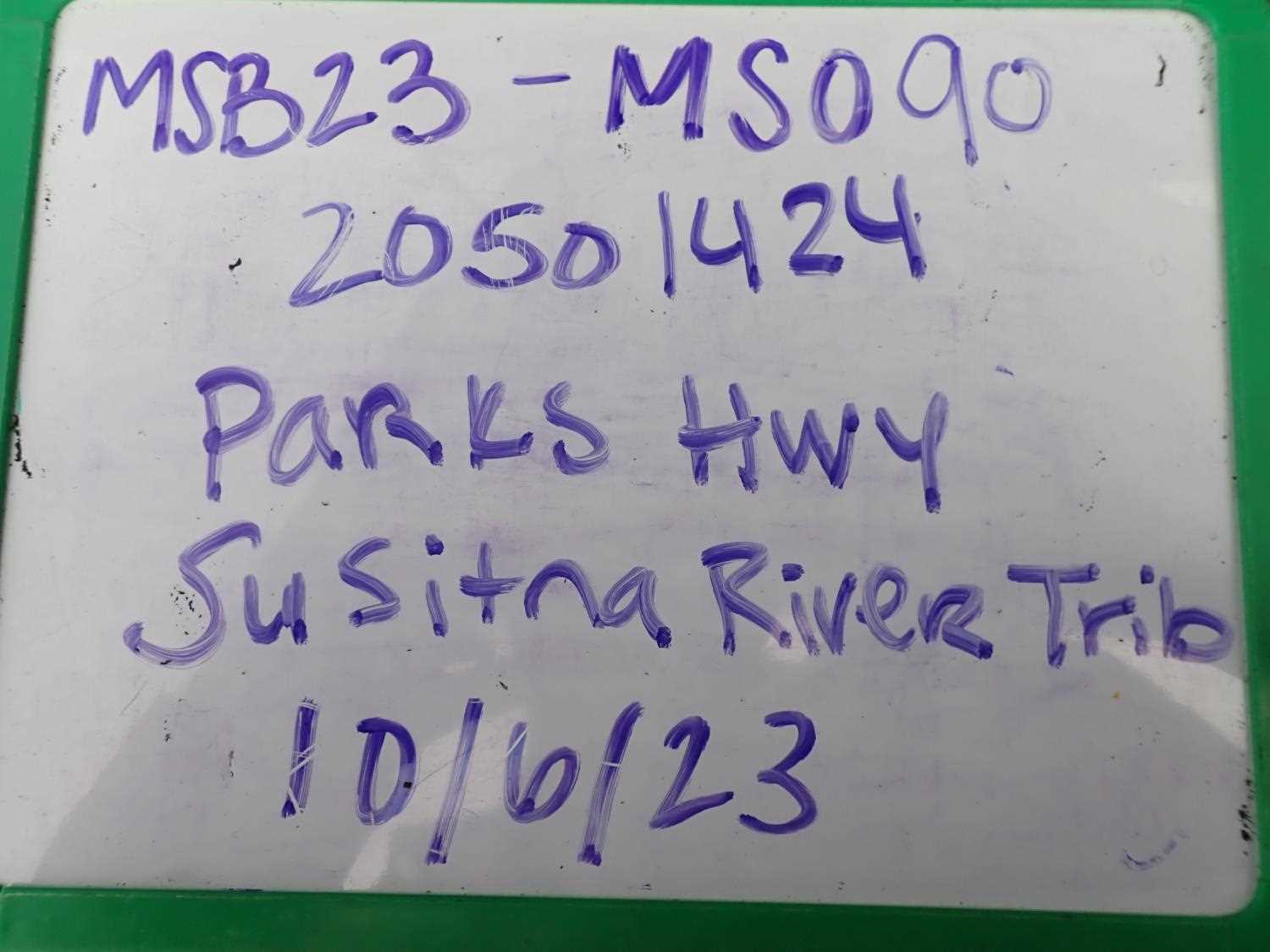
Fish Passage Site 20501424
Coordinates (dec. deg.): 62.04443°, -150.05978°
Legal Description: S023N004W32
Region: South Central
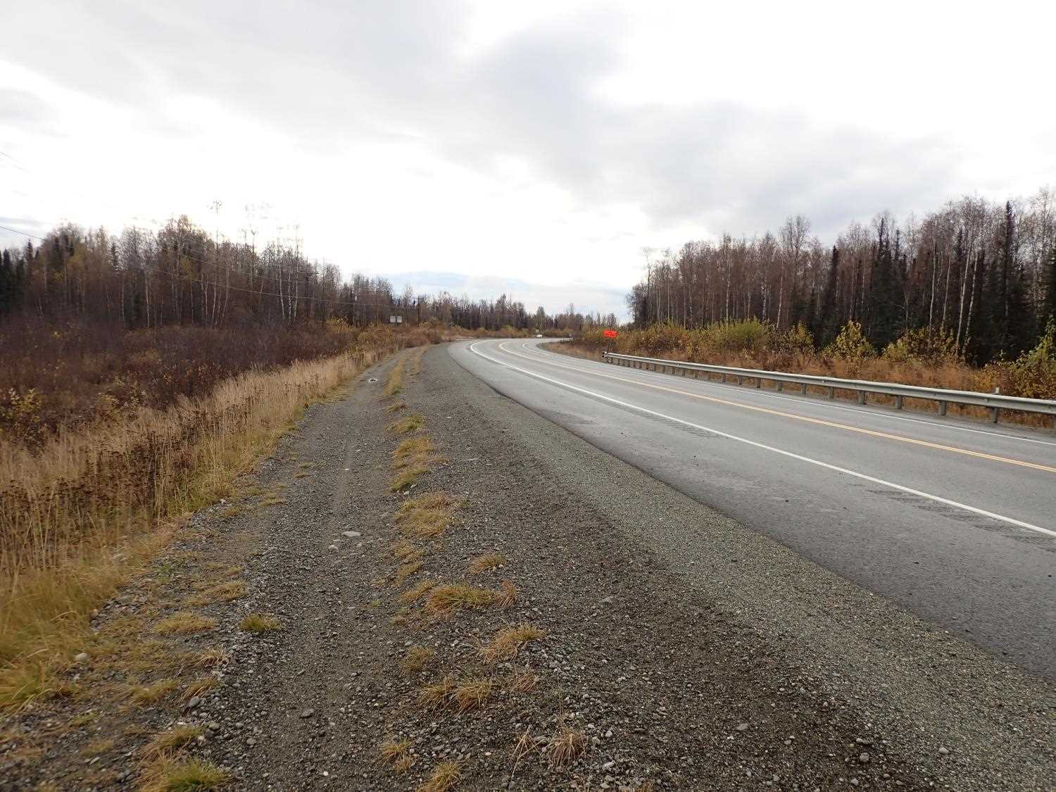
Road Name: Parks Highway
Datum: NAD83
Quad Name / ITM: Talkeetna A-1
AWC Stream #: 247-41-10200-2226
Stream Name: Susitna River tributary
Elevation:
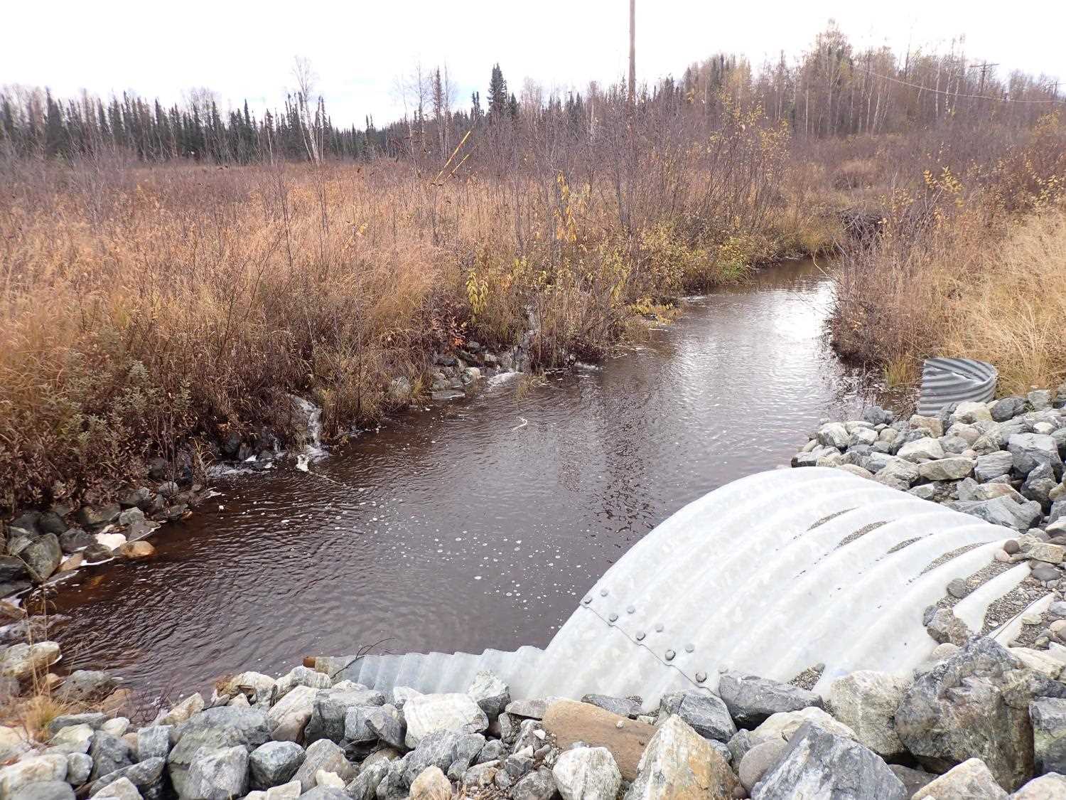
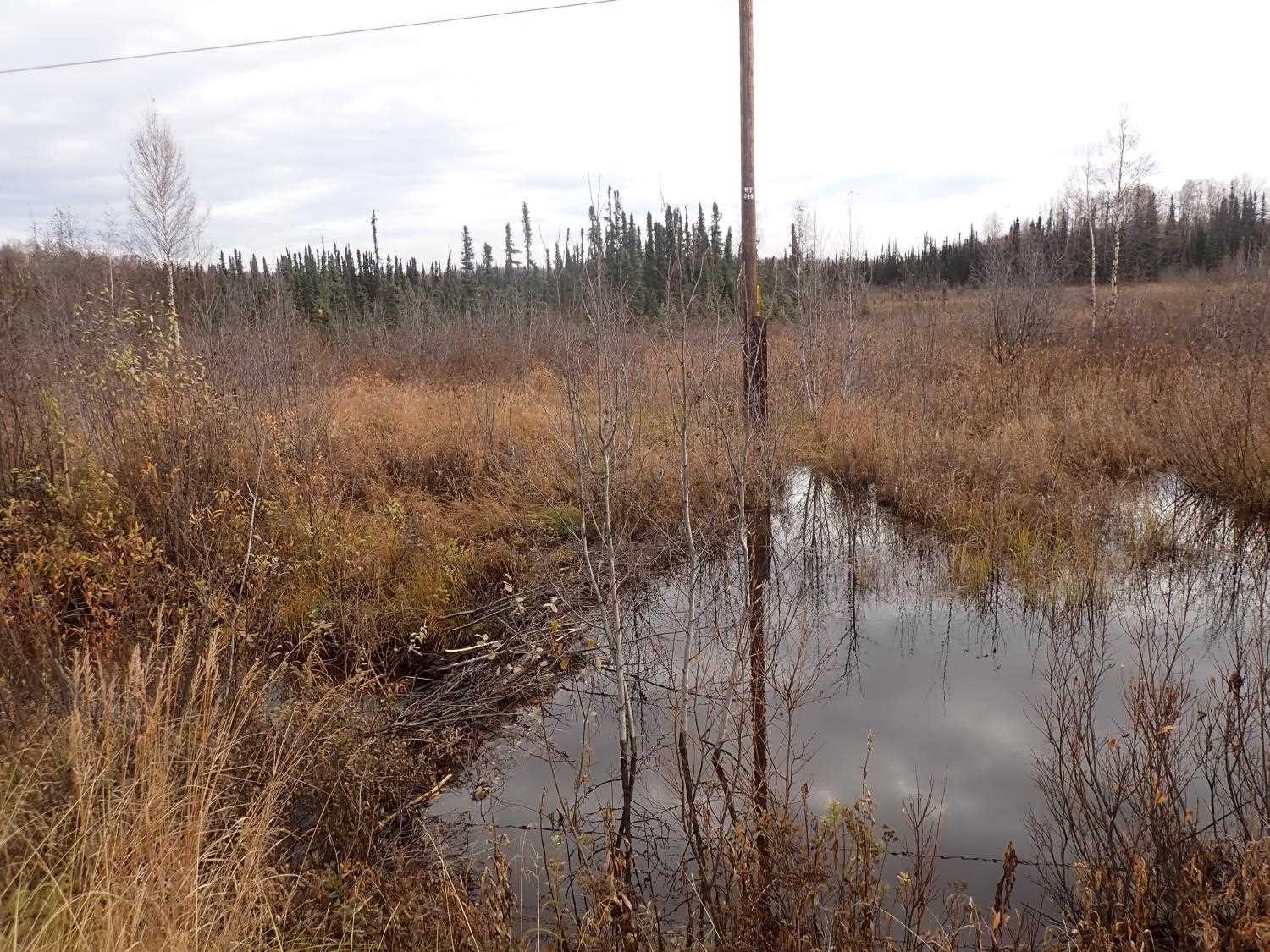
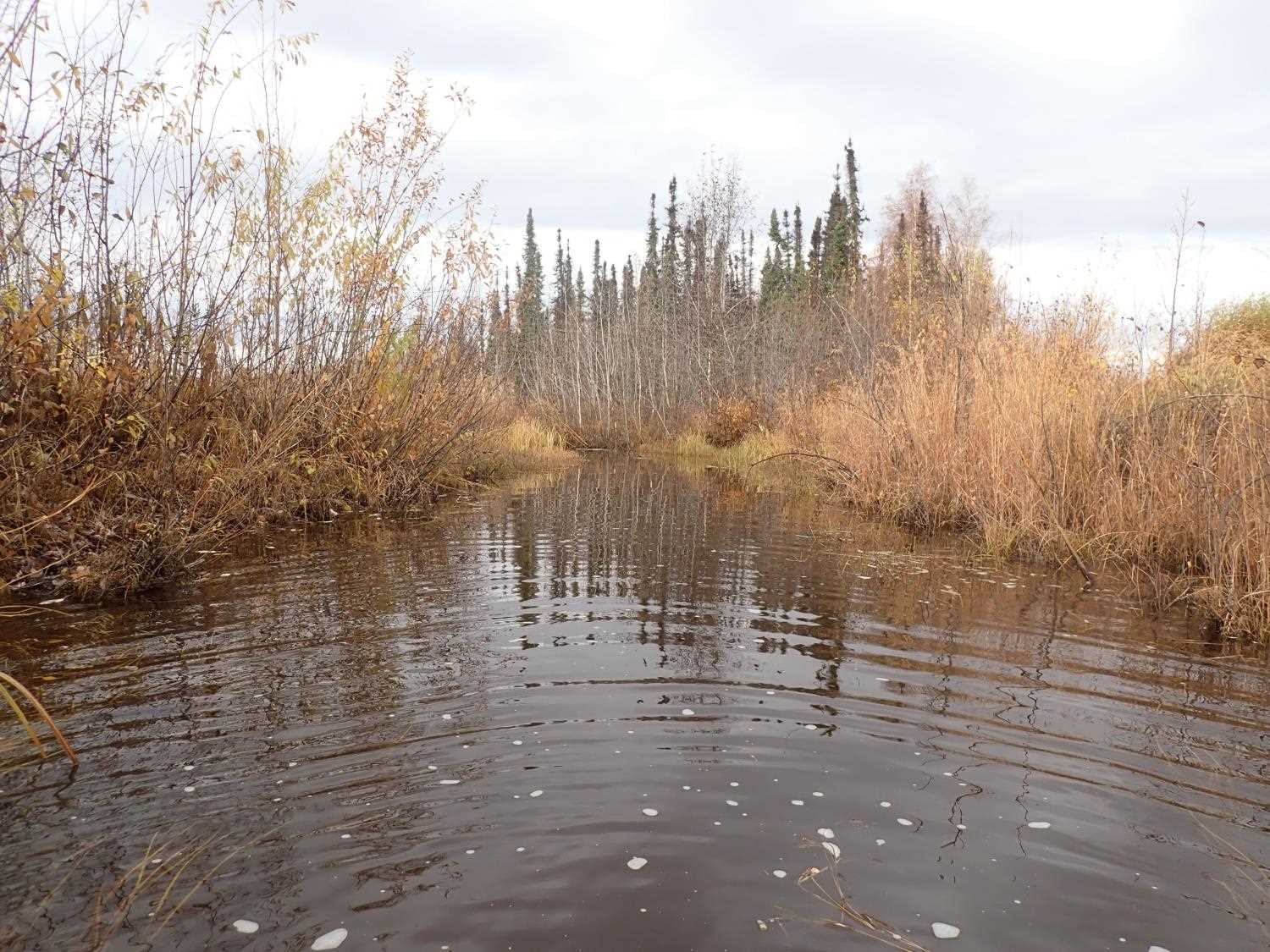
Site Comments: SUSITNA RIVER WATERSHED
arrow to the right of the survey date below to choose a different report for this site.
Survey MSB23-MS090
Project Supervisor: Michael Mazzacavallo, Alaska Department of Fish and Game
— Anchorage, AK
Observers: Michael Mazzacavallo, Kat Leavitt, Beth Evers
Overall Fish Passage Rating:
Tidal: No
Backwatered: Yes
Step Pools: No
Construction Year:
Site Observations:
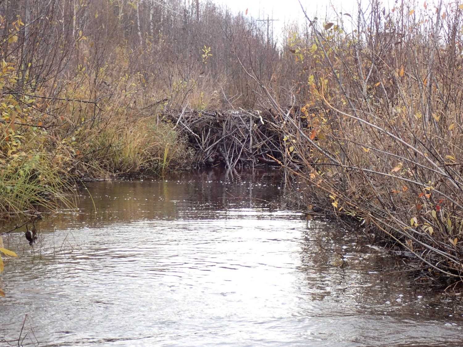
- Beaver Activity
- Constriction ratio gray
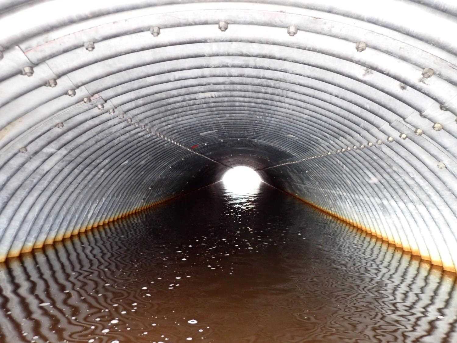
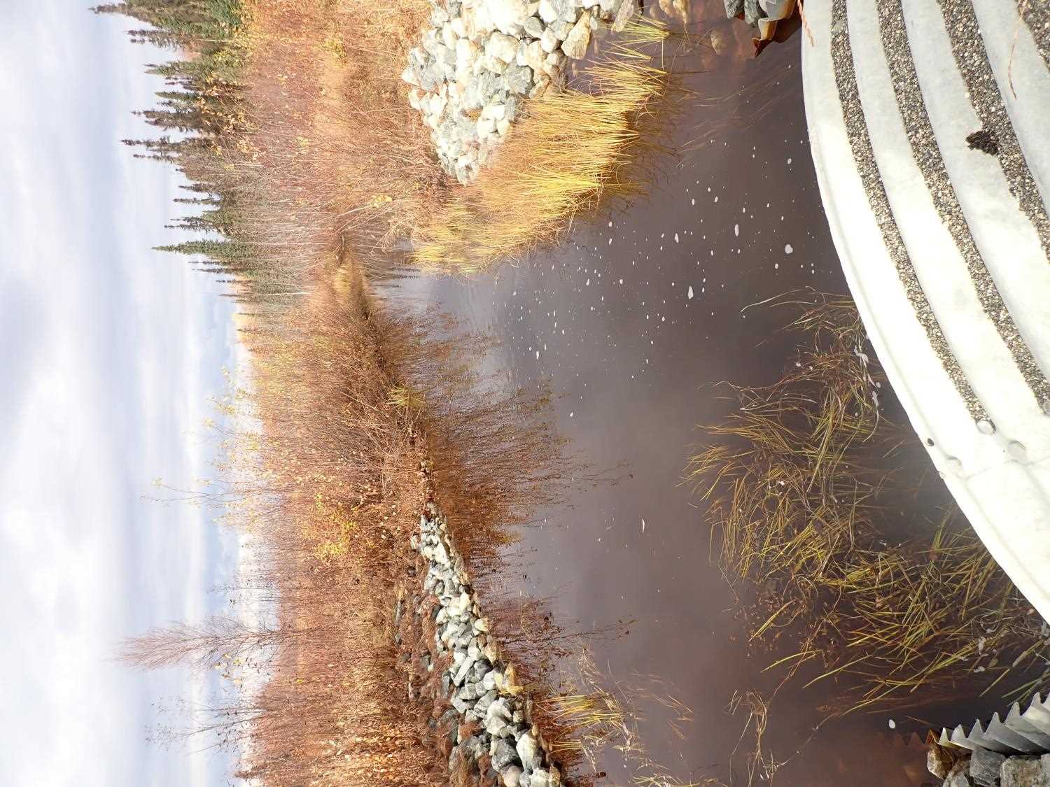
Comments: Beaver dam caused water to back up into upland, water spilling over from multiple points into stream bed. Mainly fed from those new inputs from surrounding stream banks.
Culvert Measurements
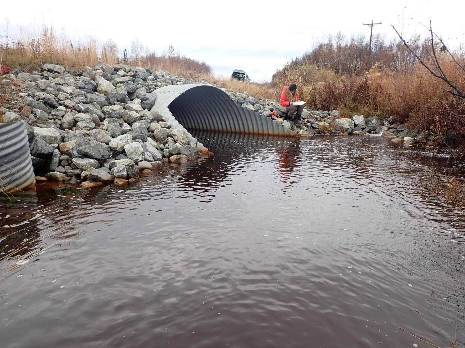
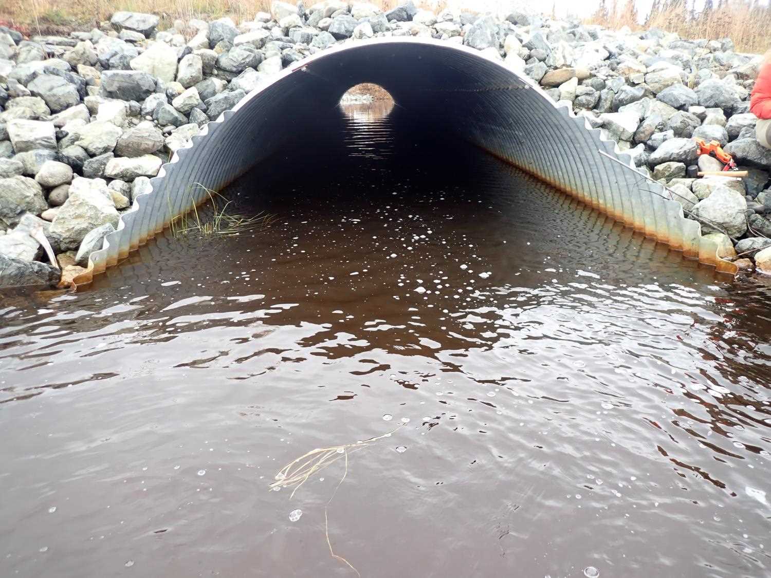
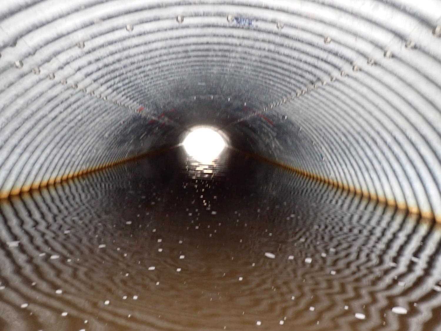
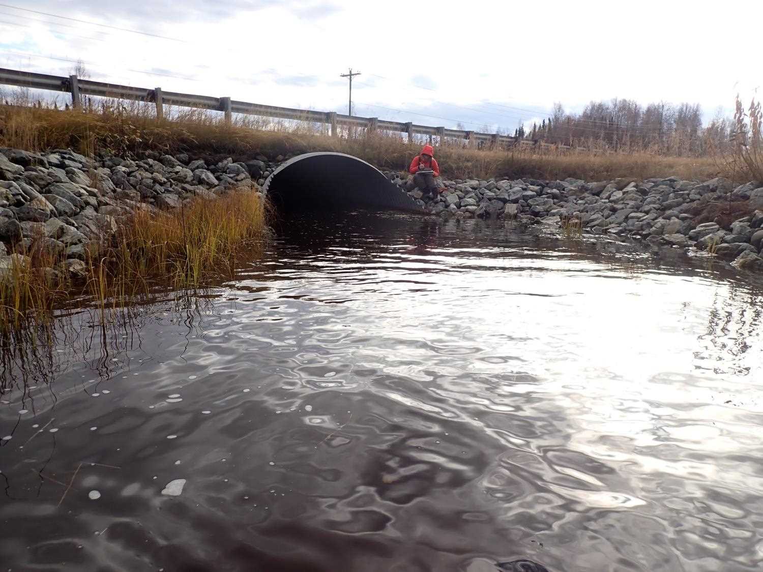
| ID: 1 | Structure Type: Pipe-arch (Structural steel plate) | Fish Passage Rating: | |||||||||||||||||||||||||||||||||||||||||
|
|
|
|||||||||||||||||||||||||||||||||||||||||
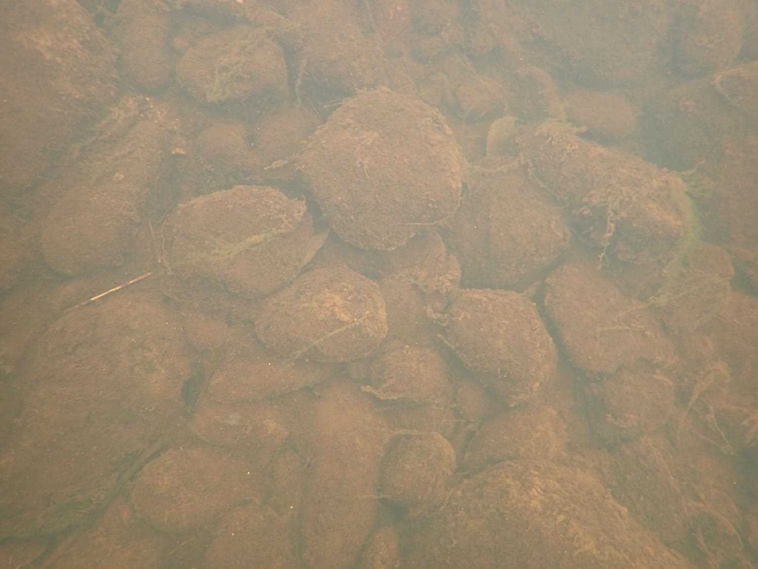
Comments: Sediment: Water is too high to get sediment reading.Mittered length: inlet 6.10ft, outlet 6.20 ft. |
|||||||||||||||||||||||||||||||||||||||||||
Culvert Observations:
|
|||||||||||||||||||||||||||||||||||||||||||
Stream Measurements
|
|
| Stream Width Type | Distance From Crossing (ft) |
Stream Width (ft) |
|---|---|---|
| Downstream ordinary high water | 43.0 | 18.80 |
| Downstream ordinary high water | 71.0 | 15.20 |
| Downstream ordinary high water | 83.0 | 15.00 |
Elevations
| Locator ID | Culvert Number |
River Distance (ft)1 |
Distance From Crossing (ft)2 |
Relative Elevation (ft) |
|---|---|---|---|---|
| U/S Water Surface Elev (Pond water surface) | 0.00 | 97.44 | ||
| U/S Thalweg | 30.00 | 93.39 | ||
| U/S Water Surface Elev | 30.00 | 94.77 | ||
| D/S Water Surface Elev (Culvert water surface) | 70.00 | 94.79 | ||
| Inlet Culvert Invert | 70.00 | 92.47 | ||
| Inlet Culvert Top | 70.00 | 98.92 | ||
| Outlet Invert | 168.92 | 92.05 | ||
| Outlet Culvert Top | 168.92 | 98.47 | ||
| U/S Water Surface Elev (Culvert water surface) | 168.92 | 94.79 | ||
| D/S Water Surface Elev | 268.92 | 94.79 | ||
| D/S Thalweg | 268.92 | 92.56 |
Notes:
- River distance is measured continuously throughout the survey reach along the thalweg of the stream.
- Measured from each end of the crossing along the thalweg of the stream.
Fish Sampling Efforts
No fish sampling occurred during this survey.
Fish Observations
No fish observations occurred during this survey.
Photos
Questions or comments about this report can be directed to dfg.dsf.webmaster@alaska.gov