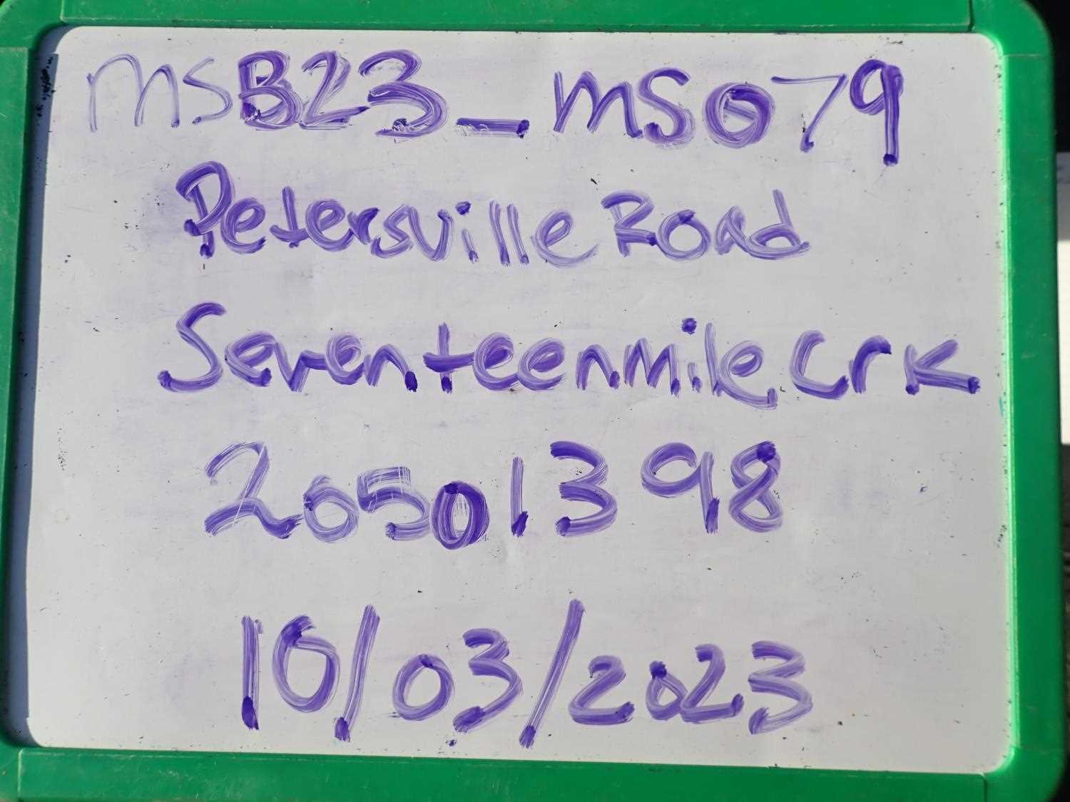
Fish Passage Site 20501398
Coordinates (dec. deg.): 62.33782°, -150.57411°
Legal Description: S026N007W16
Region: South Central
Road Name: Petersville Road
Datum: NAD83
Quad Name / ITM: Talkeetna B-2
AWC Stream #: 247-41-10200-2081-3194
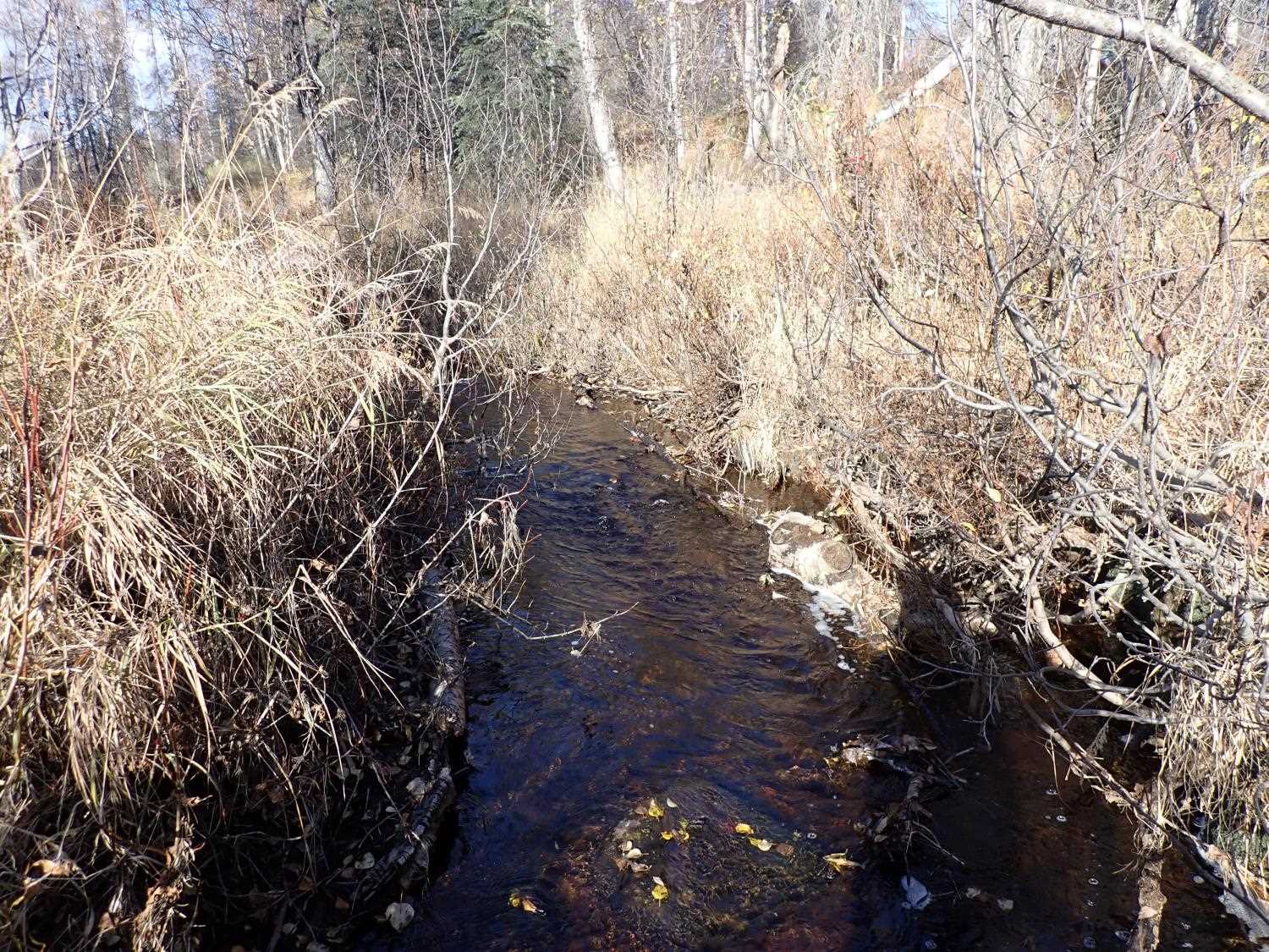
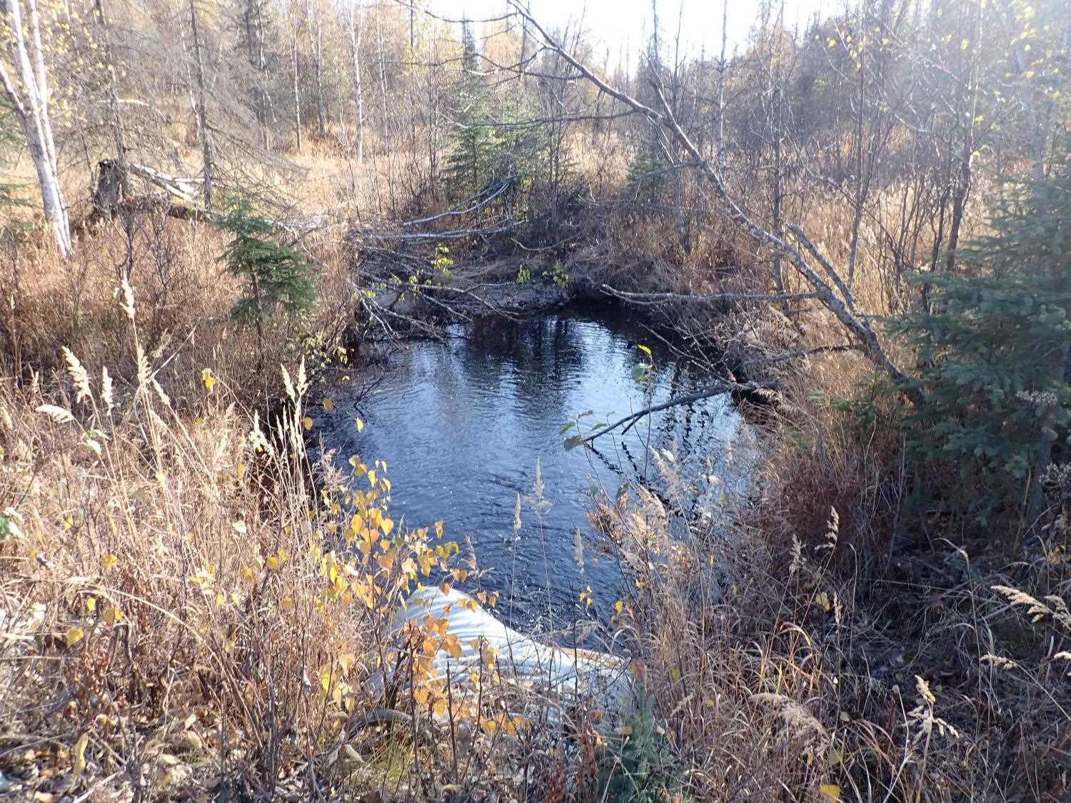
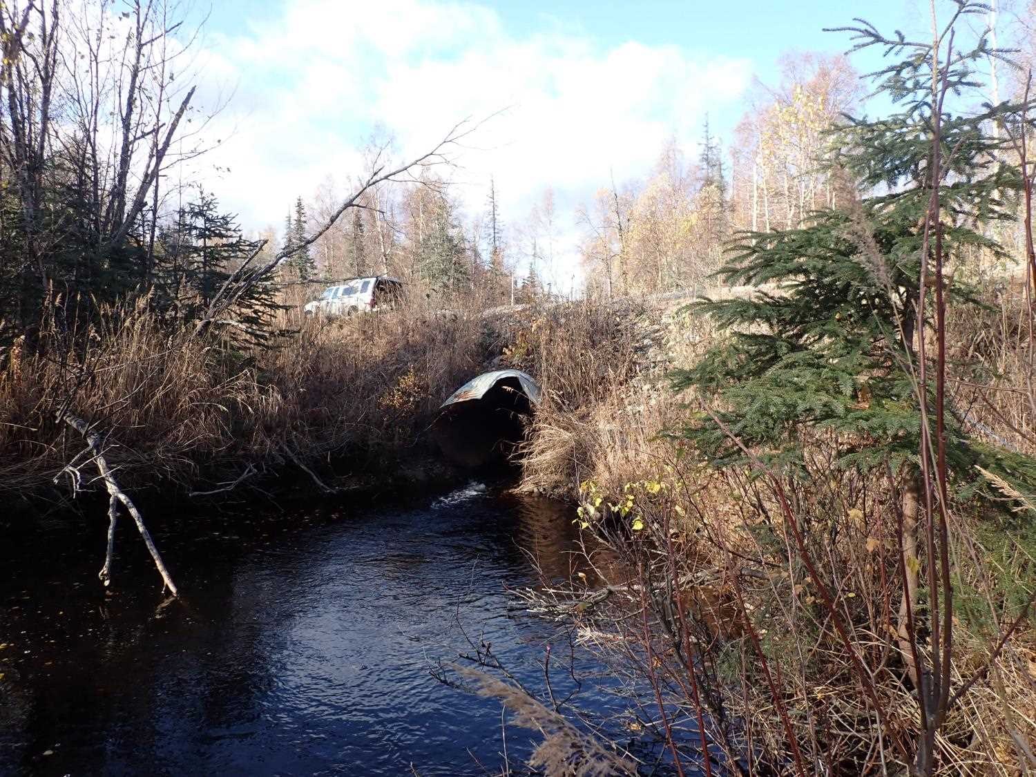
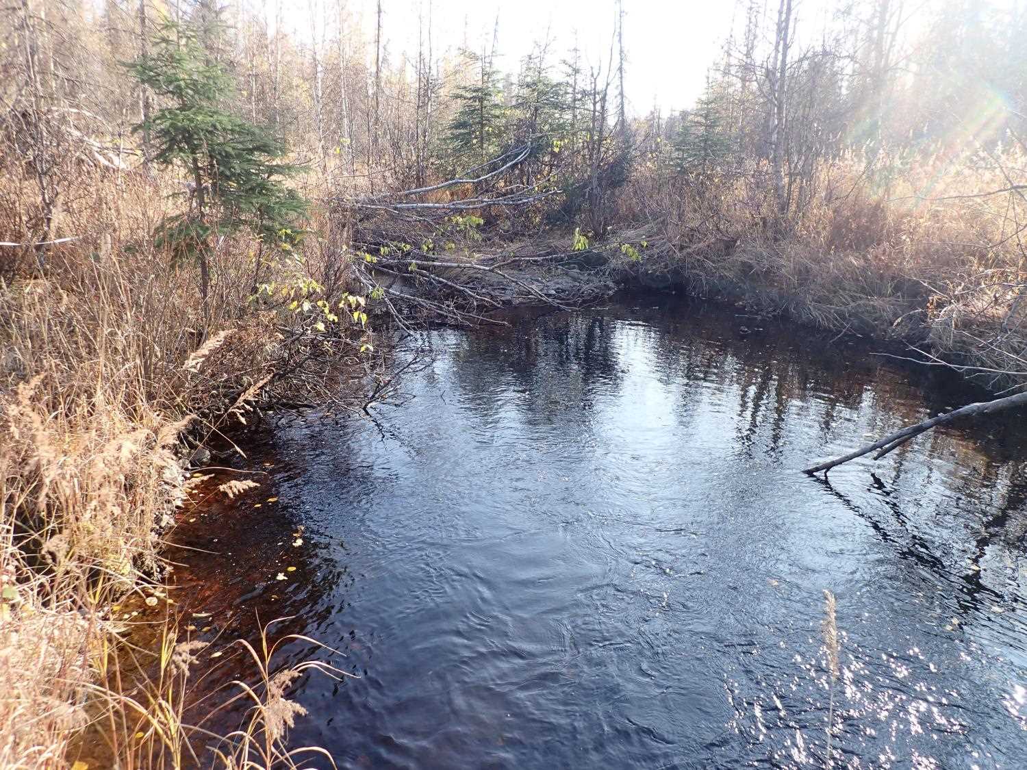
Stream Name: Seventeen Mile Creek
Elevation:
Site Comments: None
arrow to the right of the survey date below to choose a different report for this site.
Survey MSB23-MS079
Project Supervisor: Michael Mazzacavallo, Alaska Department of Fish and Game
— Anchorage, AK
Observers: Michael Mazzacavallo, Kat Leavitt, Beth Evers
Overall Fish Passage Rating:
Tidal: No
Backwatered: No
Step Pools: No
Construction Year:
Site Observations:
- Constriction ratio gray
- Culvert gradient red
- Compound gradient in pipe
- Outfall height gray
- Woody Debris
Comments: None
Culvert Measurements
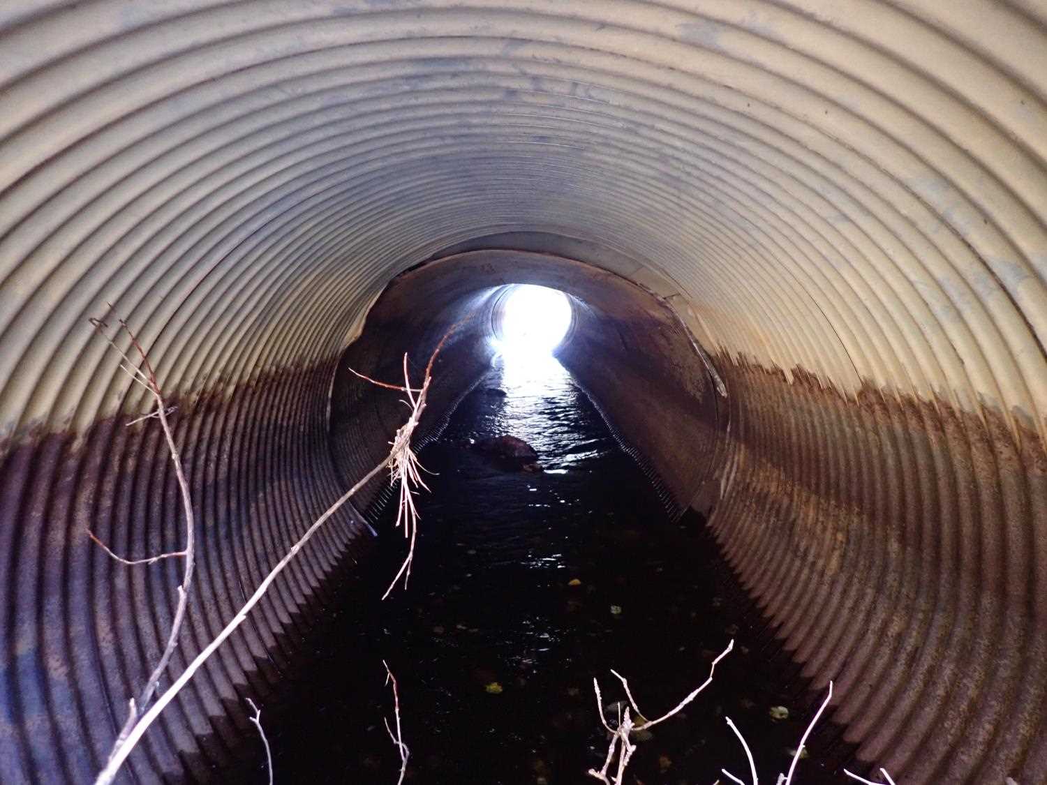
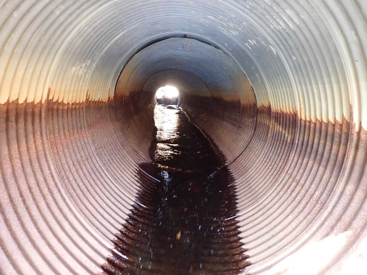
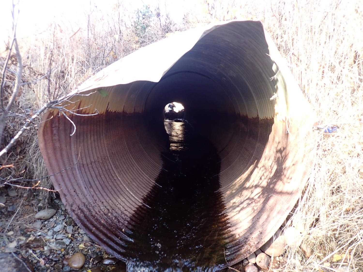
| ID: 1 | Structure Type: Circular pipe (Corrugated steel) | Fish Passage Rating: | ||||||||||||||||||||||||||||||||||||||||||
|
|
|
||||||||||||||||||||||||||||||||||||||||||
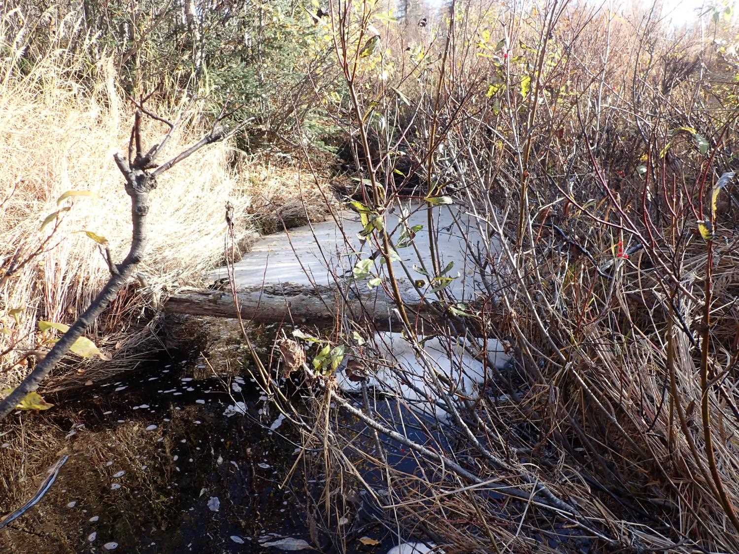
Comments: 3 pipes put together compound gradient within pipe.Top outlet side damaged, hangs 1ft into culvert outlet opening. |
||||||||||||||||||||||||||||||||||||||||||||
Culvert Observations:
|
||||||||||||||||||||||||||||||||||||||||||||
Stream Measurements
|
|
| Stream Width Type | Distance From Crossing (ft) |
Stream Width (ft) |
|---|---|---|
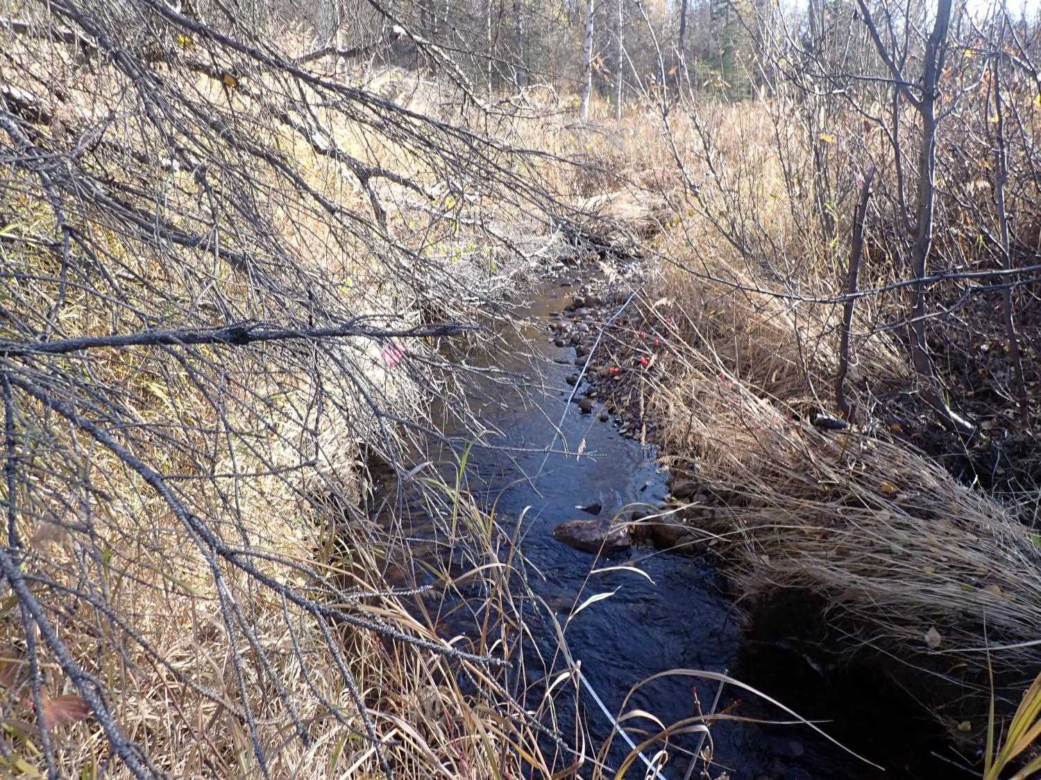
| Upstream bed width | 40.0 | 10.90 |
| Upstream ordinary high water | 56.0 | 7.70 |
| Upstream ordinary high water | 82.0 | 7.10 |
| Upstream ordinary high water | 94.0 | 7.00 |
Elevations
| Locator ID | Culvert Number |
River Distance (ft)1 |
Distance From Crossing (ft)2 |
Relative Elevation (ft) |
|---|---|---|---|---|
| D/S Thalweg | 44.00 | 91.56 | ||
| D/S Water Surface Elev | 44.00 | 92.40 | ||
| Max Pool Depth (Pool thalweg) | 100.00 | 92.03 | ||
| Outlet Pool Water Elev (Pool water surface) | 100.00 | 92.38 | ||
| Outlet Culvert Top | 103.00 | 97.61 | ||
| Outlet Invert | 103.00 | 92.37 | ||
| D/S Water Surface Elev | 103.00 | 90.66 | ||
| D/S Thalweg | 103.00 | 91.18 | ||
| D/S Water Surface Elev (Culvert water surface) | 103.00 | 92.57 | ||
| Inlet Culvert Invert | 164.72 | 92.66 | ||
| Inlet Culvert Top | 164.72 | 96.67 | ||
| U/S Water Surface Elev | 164.72 | 94.30 | ||
| U/S Water Surface Elev | 243.72 | 94.60 | ||
| U/S Thalweg | 243.72 | 94.15 | ||
| U/S Thalweg | 284.72 | 94.76 | ||
| U/S Water Surface Elev | 284.72 | 95.18 |
Notes:
- River distance is measured continuously throughout the survey reach along the thalweg of the stream.
- Measured from each end of the crossing along the thalweg of the stream.
Fish Sampling Efforts
No fish sampling occurred during this survey.
Fish Observations
No fish observations occurred during this survey.
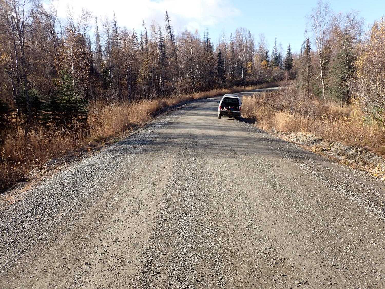
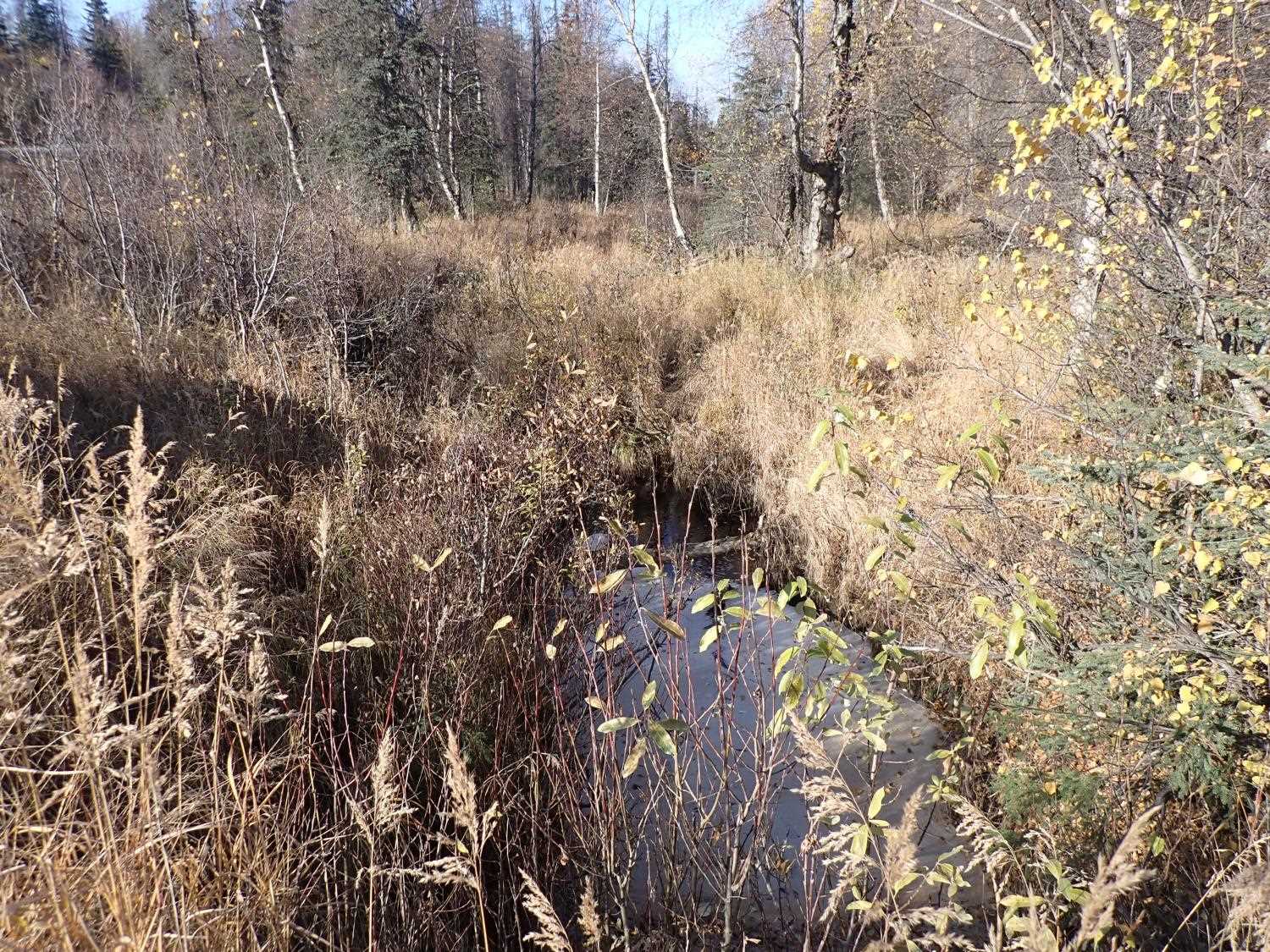
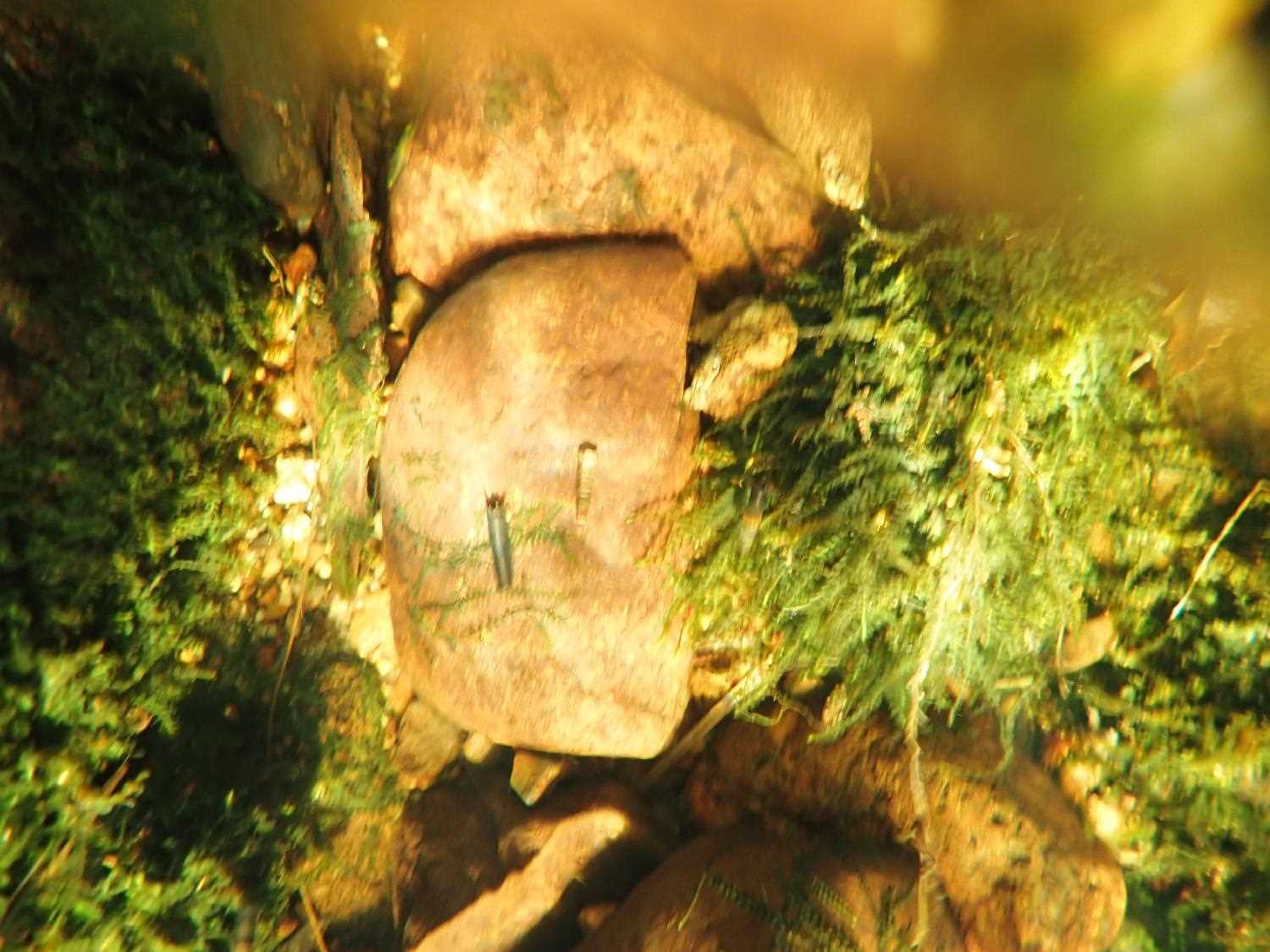
Photos

Questions or comments about this report can be directed to dfg.dsf.webmaster@alaska.gov