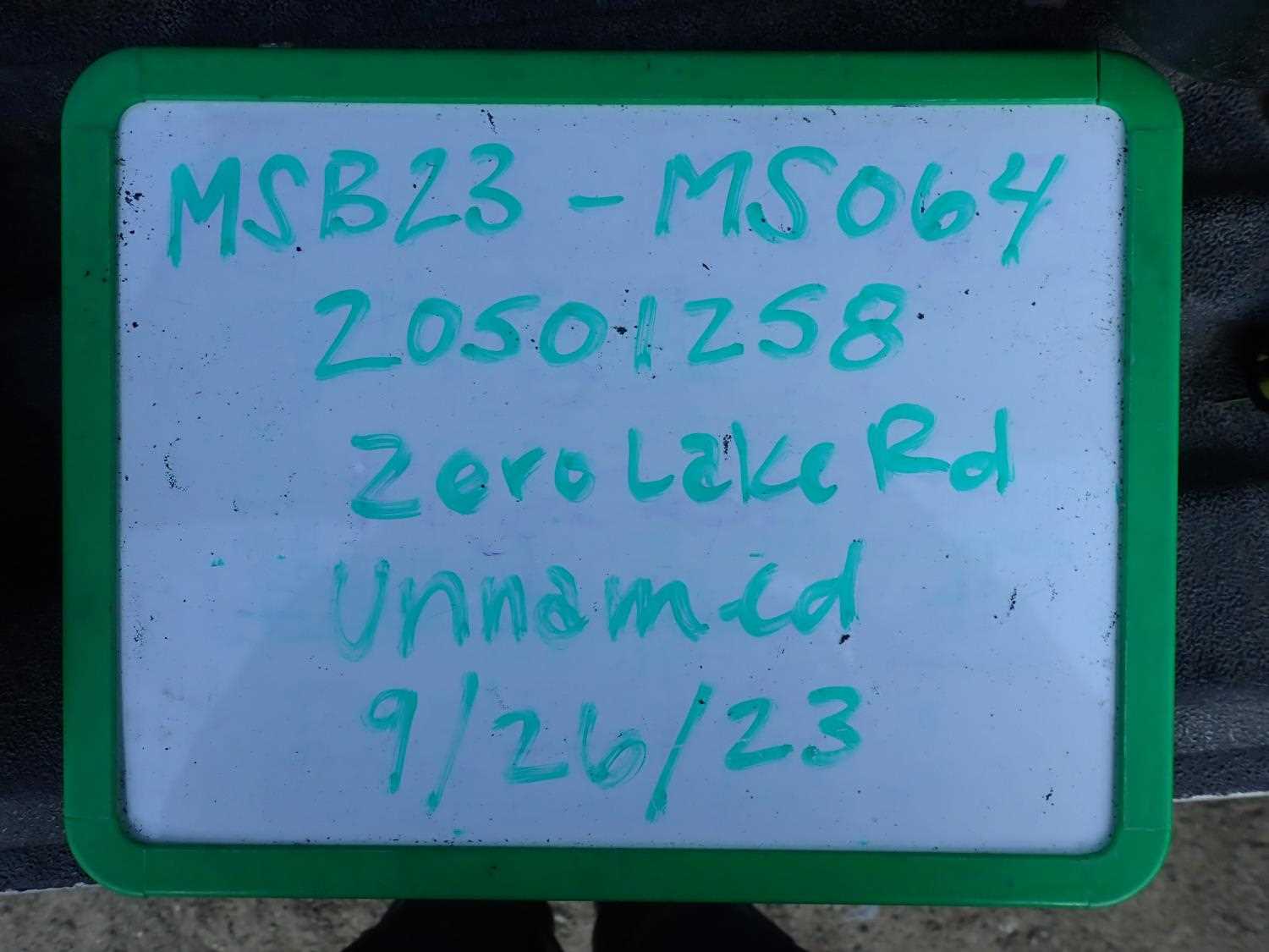
Fish Passage Site 20501258
Coordinates (dec. deg.): 61.65263°, -149.82623°
Legal Description: S018N003W16
Region: South Central
Road Name: Zero Lakes Road
Datum: WGS84
Quad Name / ITM: Anchorage C-8
AWC Stream #:
Stream Name: Lake Creek tributary
Elevation:
Site Comments: None
arrow to the right of the survey date below to choose a different report for this site.
Survey MSB23-MS064
Project Supervisor: Michael Mazzacavallo, Alaska Department of Fish and Game
— Anchorage, AK
Observers: Michael Mazzacavallo, Kat Leavitt, Beth Evers
Overall Fish Passage Rating:
Tidal: No
Backwatered: No
Step Pools: No
Construction Year:
Site Observations:
- Constriction ratio gray
- Culvert gradient red
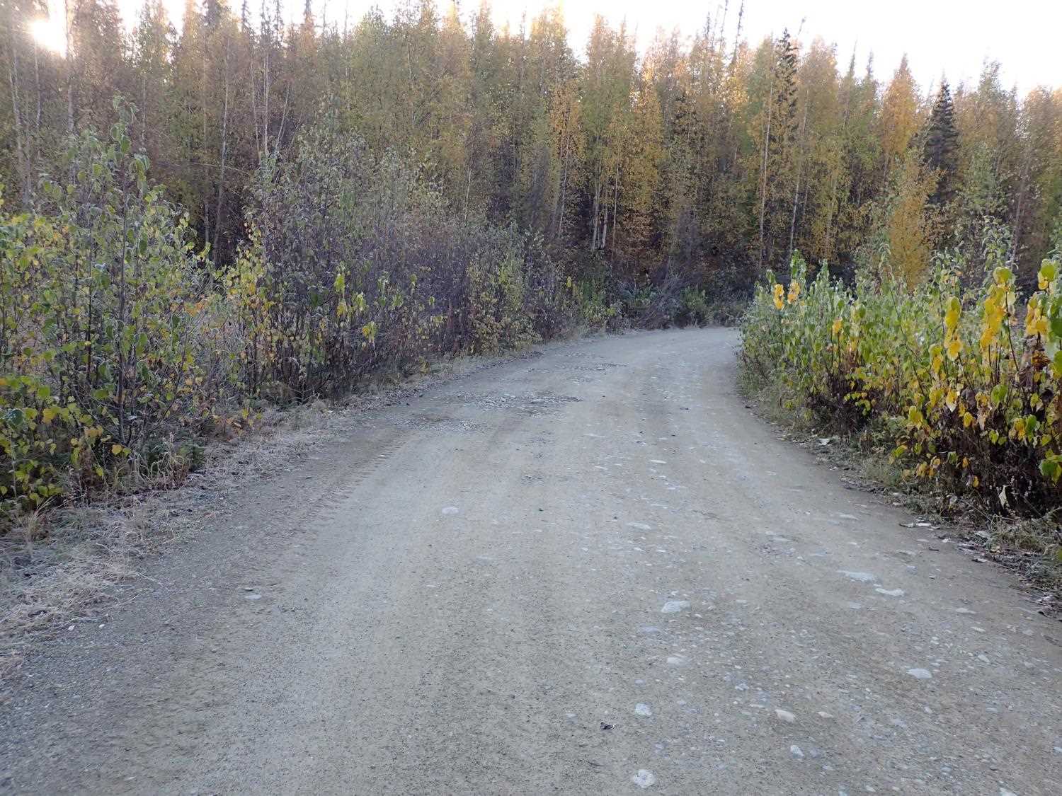
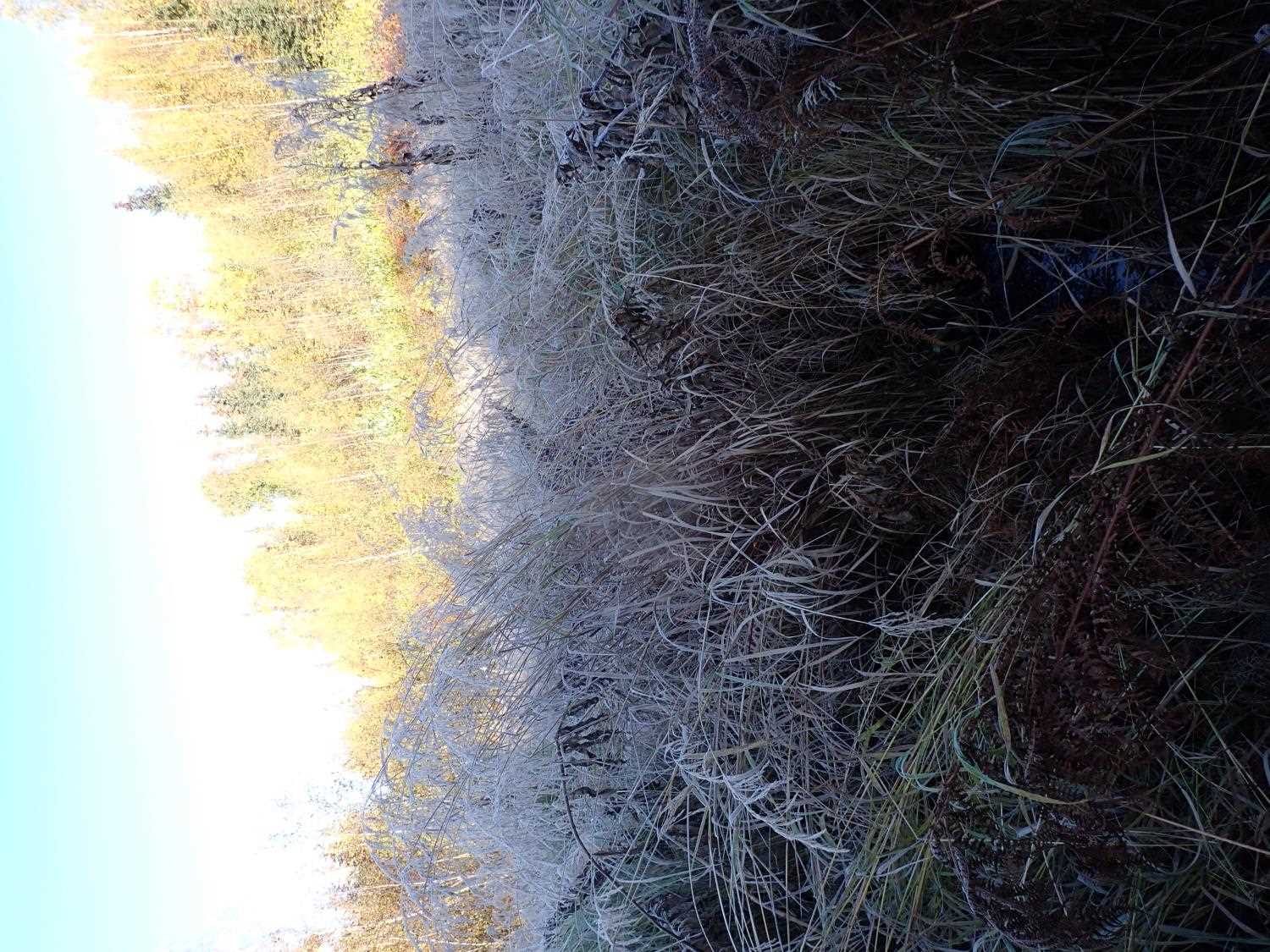
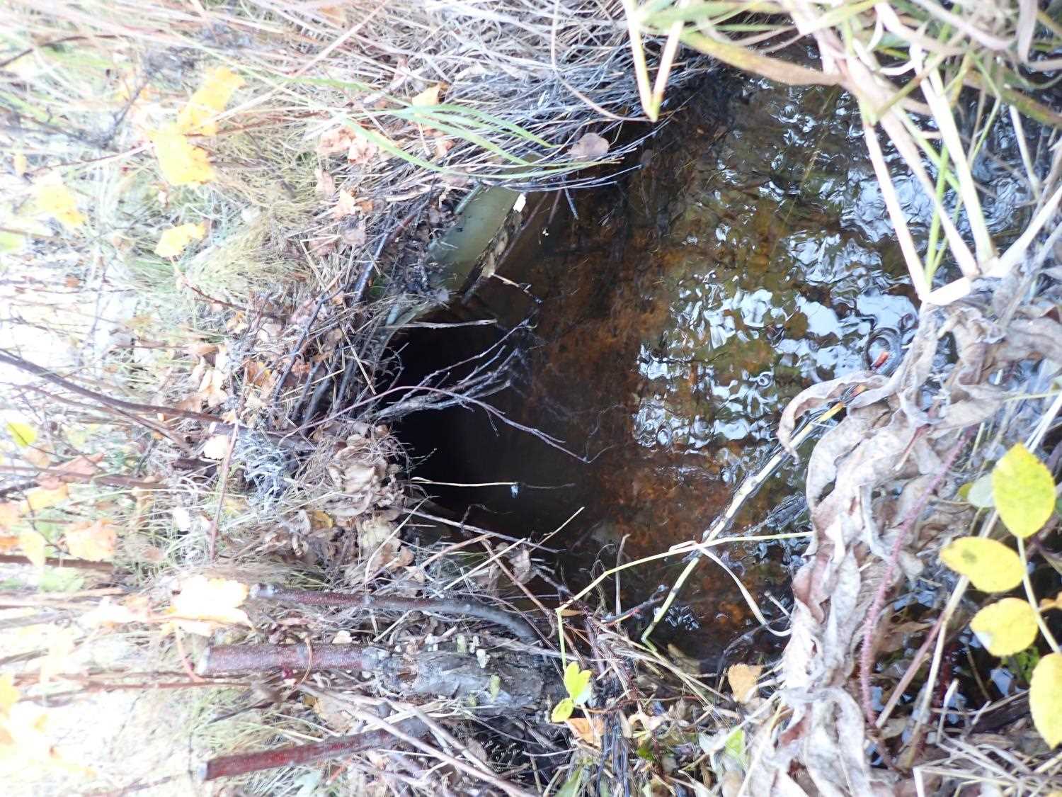
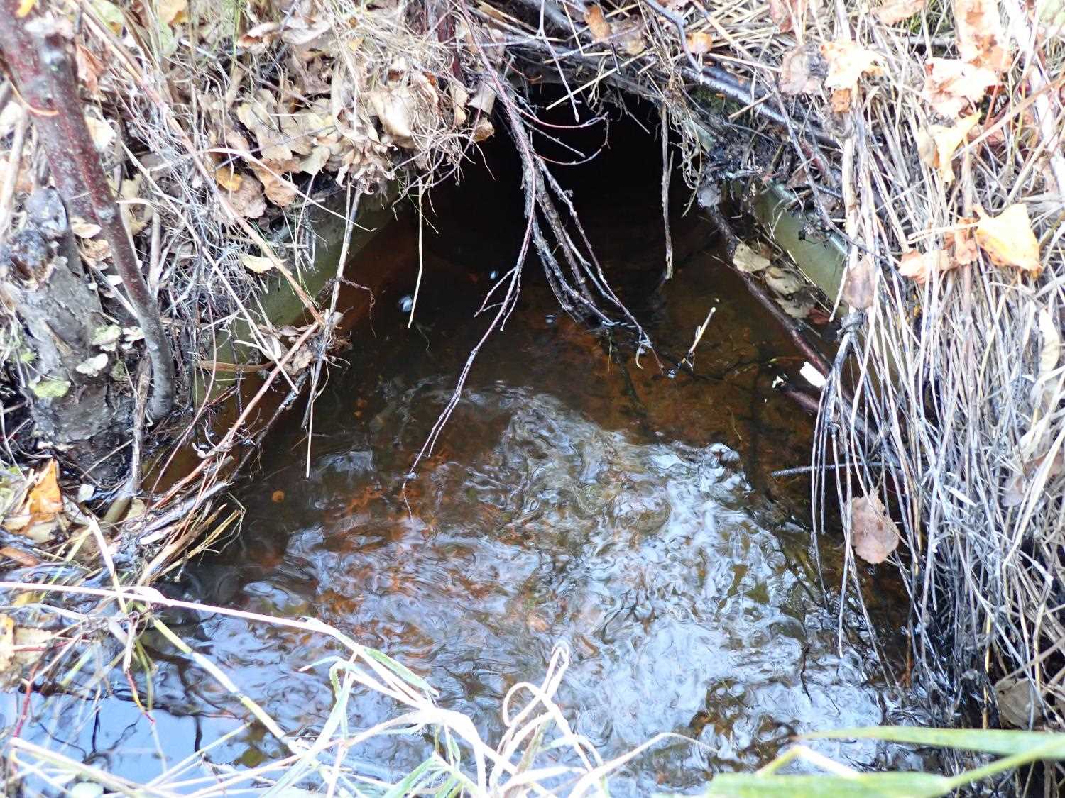
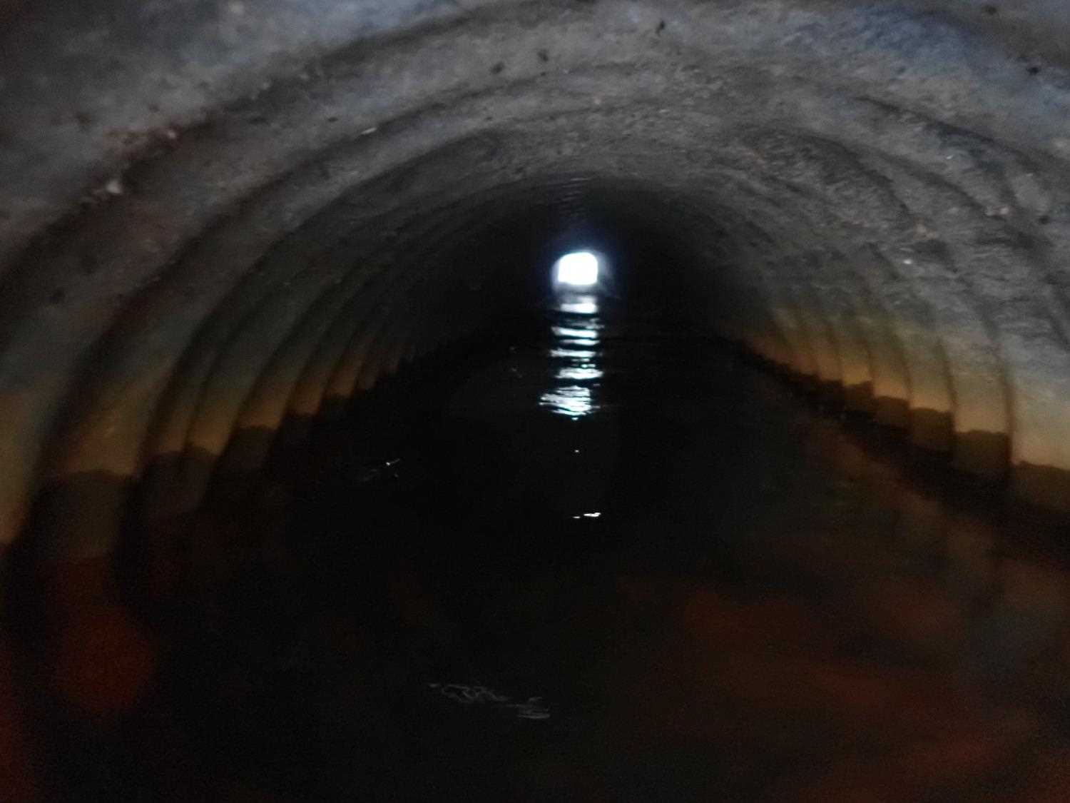
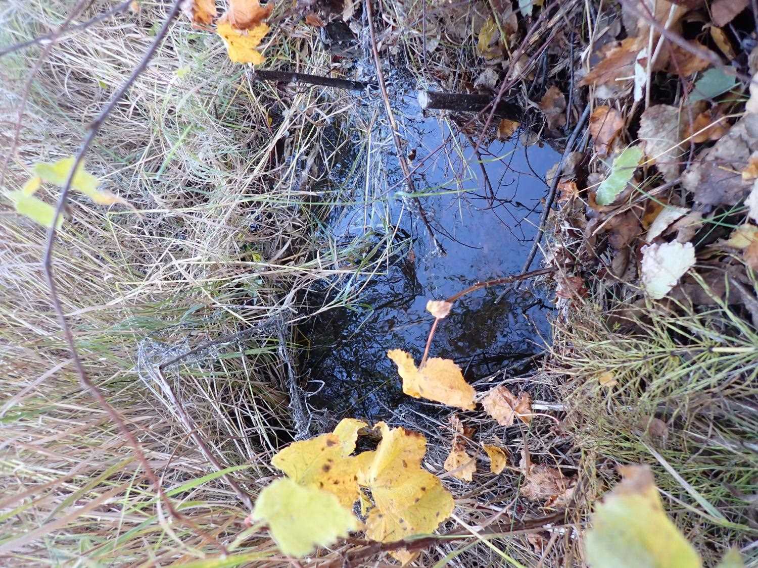
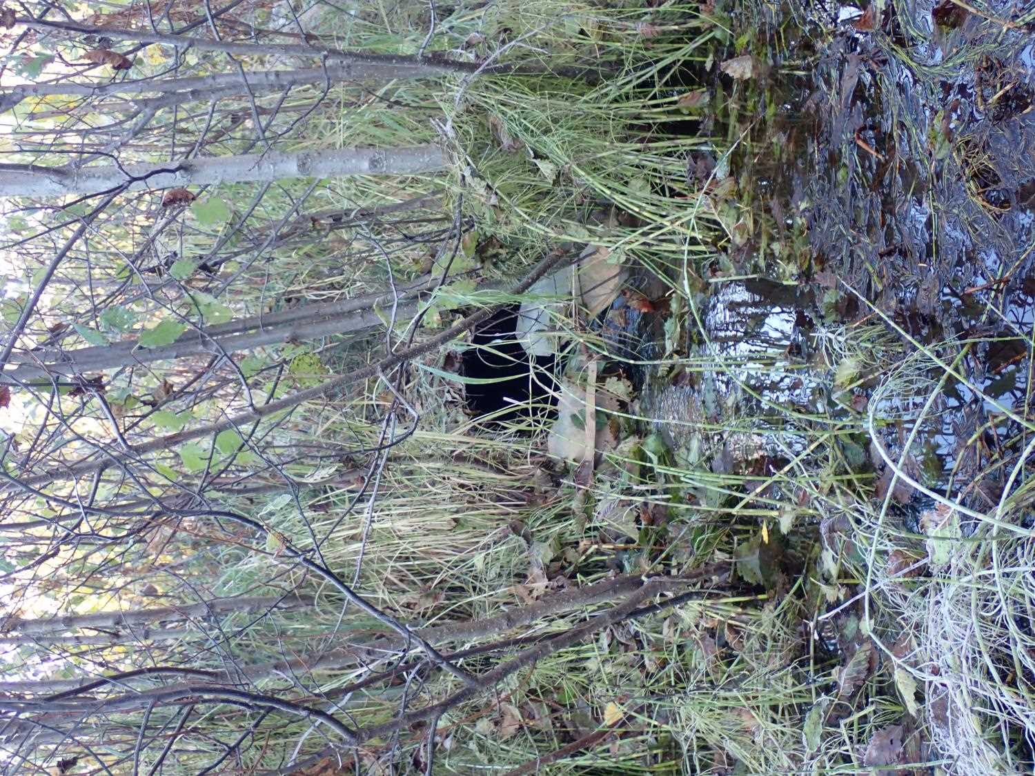
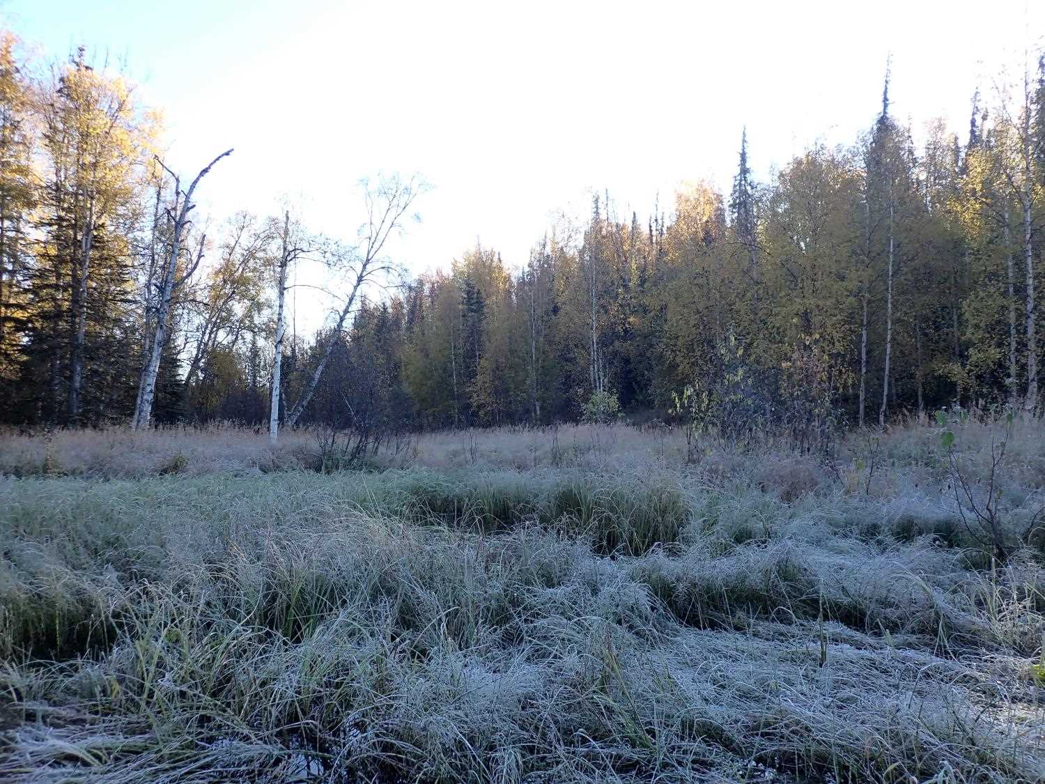
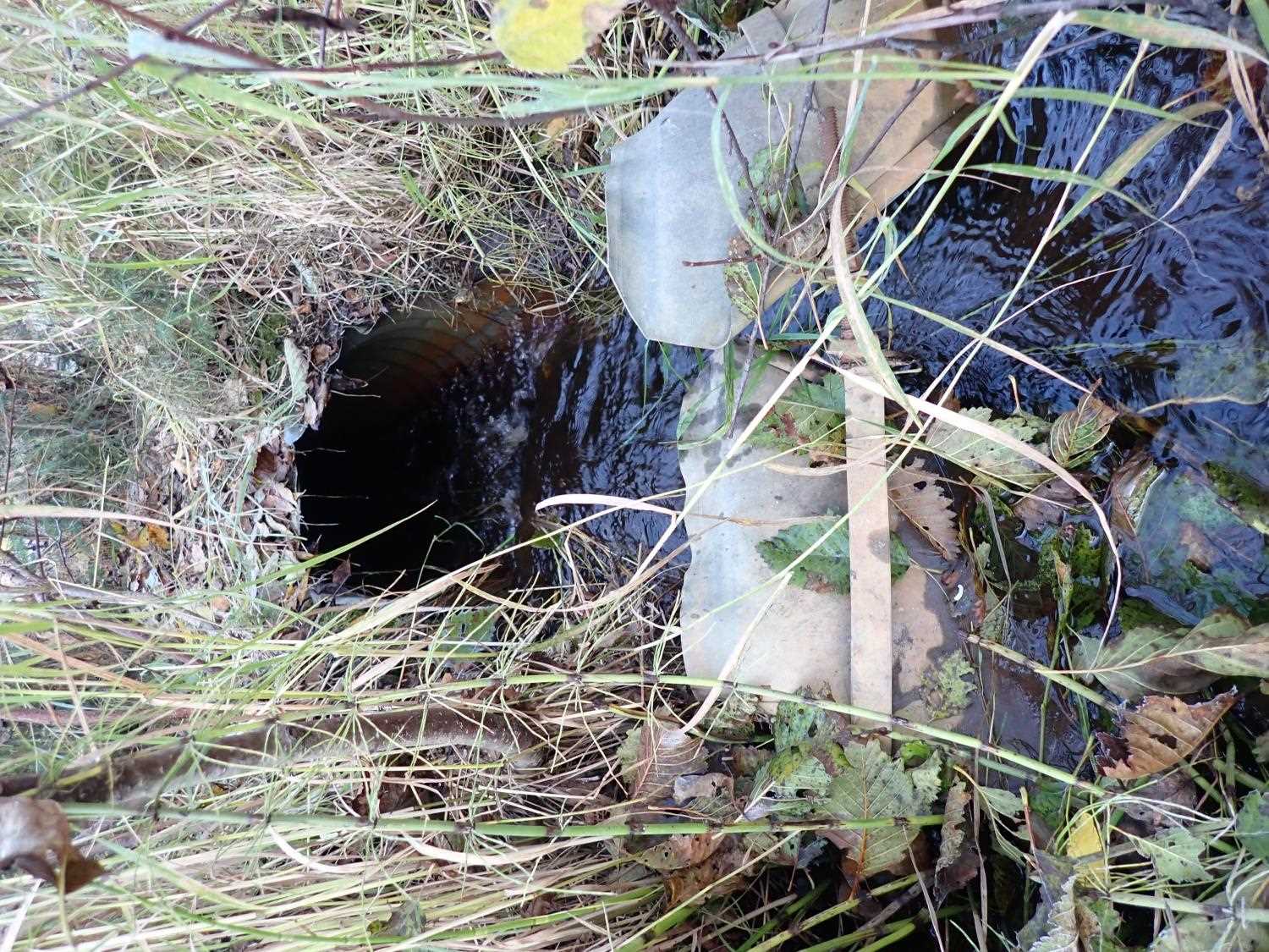
Comments: Overgrown on outlet side, stream is underneath vegetation. Inlet does not have specific channel, more of a pond/marsh.
Culvert Measurements
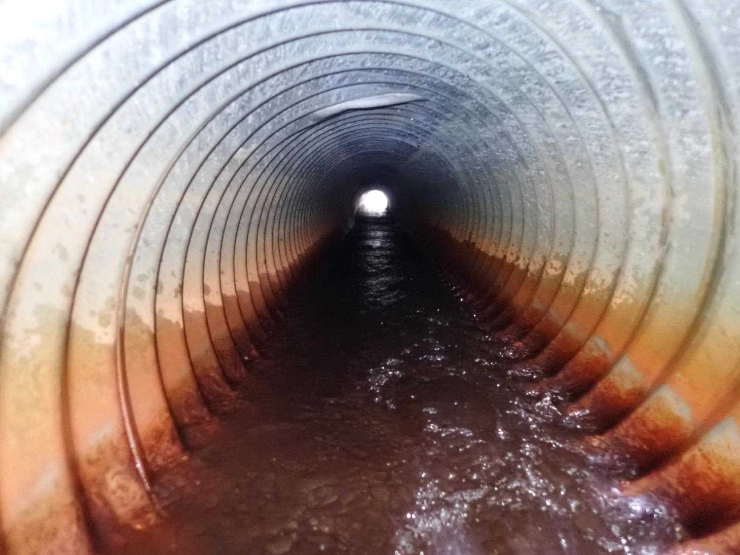
| ID: 1 | Structure Type: Circular pipe (Corrugated steel) | Fish Passage Rating: | ||||||||||||||||||||||||||||||||||||||||||
|
|
|
||||||||||||||||||||||||||||||||||||||||||
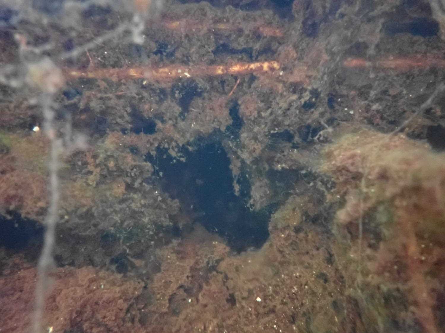
Comments: Inlet opening is damaged and torn apart. Inlet has drop in. Outlet apron is intact. Took pipe length from mapper due to poor visibilty. (11/20/2023 KL) |
||||||||||||||||||||||||||||||||||||||||||||
Culvert Observations:
|
||||||||||||||||||||||||||||||||||||||||||||
Stream Measurements
|
|
| Stream Width Type | Distance From Crossing (ft) |
Stream Width (ft) |
|---|---|---|
| Upstream bed width | 50.0 | 3.00 |
| Upstream bed width | 75.0 | 2.00 |
| Upstream bed width | 100.0 | 2.10 |
Elevations
| Locator ID | Culvert Number |
River Distance (ft)1 |
Distance From Crossing (ft)2 |
Relative Elevation (ft) |
|---|---|---|---|---|
| Road Elev | 100.08 | |||
| D/S Thalweg | 0.00 | 94.51 | ||
| D/S Water Surface Elev | 0.00 | 95.34 | ||
| D/S Water Surface Elev | 55.00 | 95.76 | ||
| D/S Thalweg | 55.00 | 94.27 | ||
| Outlet Culvert Top | 70.00 | 98.09 | ||
| Outlet Invert | 70.00 | 96.57 | ||
| D/S Water Surface Elev | 70.00 | 97.49 | ||
| Inlet Culvert Invert | 101.90 | 97.51 | ||
| U/S Water Surface Elev | 101.90 | 97.84 | ||
| Inlet Culvert Top | 101.90 | 98.92 | ||
| U/S Water Surface Elev | 102.90 | 98.04 | ||
| U/S Thalweg | 102.90 | 97.08 | ||
| U/S Water Surface Elev | 131.90 | 98.15 |
Notes:
- River distance is measured continuously throughout the survey reach along the thalweg of the stream.
- Measured from each end of the crossing along the thalweg of the stream.
Fish Sampling Efforts
No fish sampling occurred during this survey.
Fish Observations
No fish observations occurred during this survey.
Photos
Questions or comments about this report can be directed to dfg.dsf.webmaster@alaska.gov