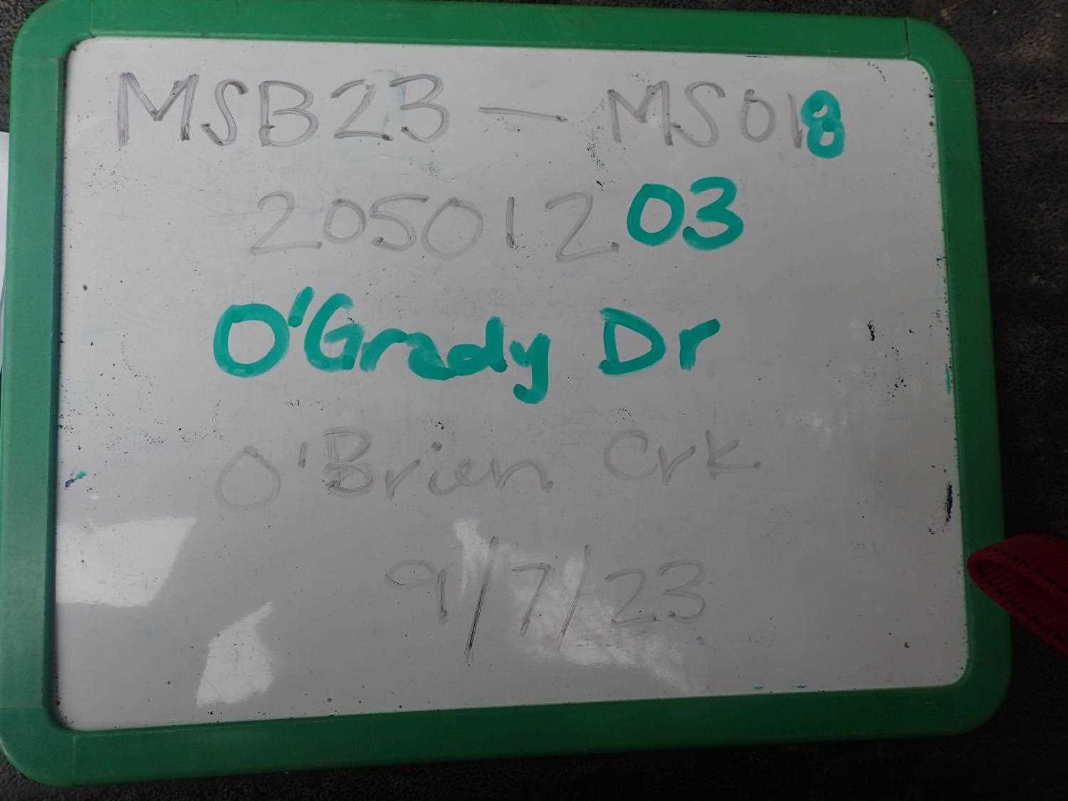
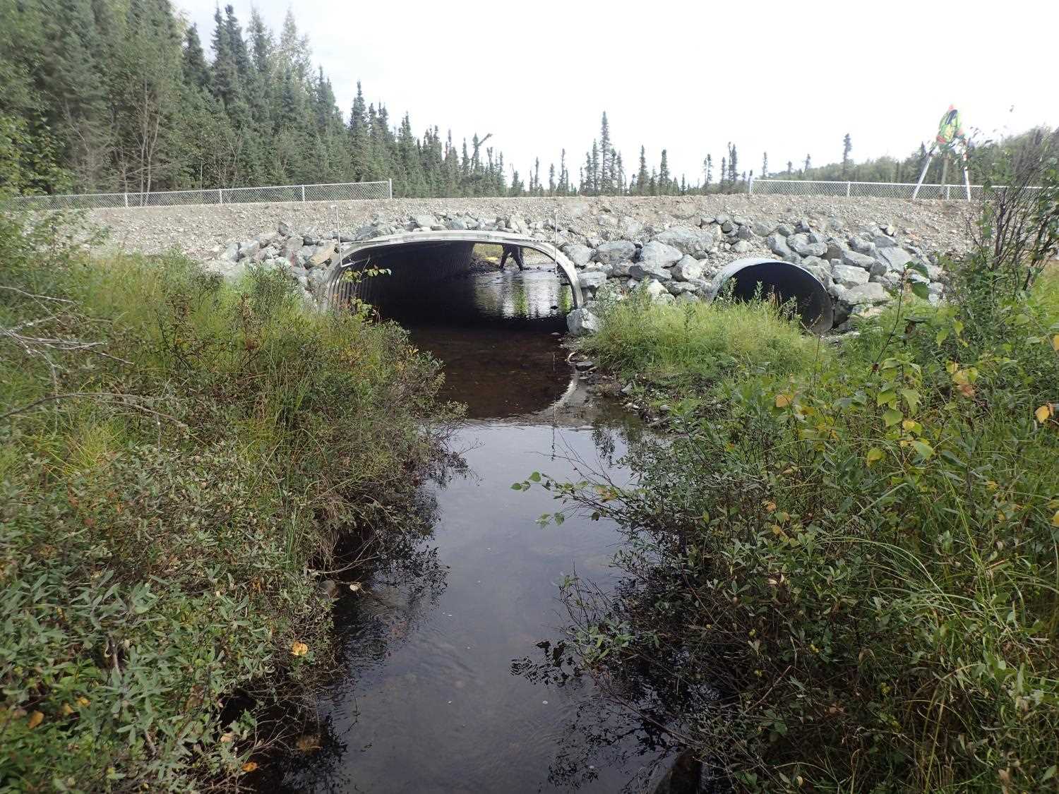
Fish Passage Site 20501203
Coordinates (dec. deg.): 61.48902°, -149.67320°
Legal Description: S016N002W08
Region: South Central
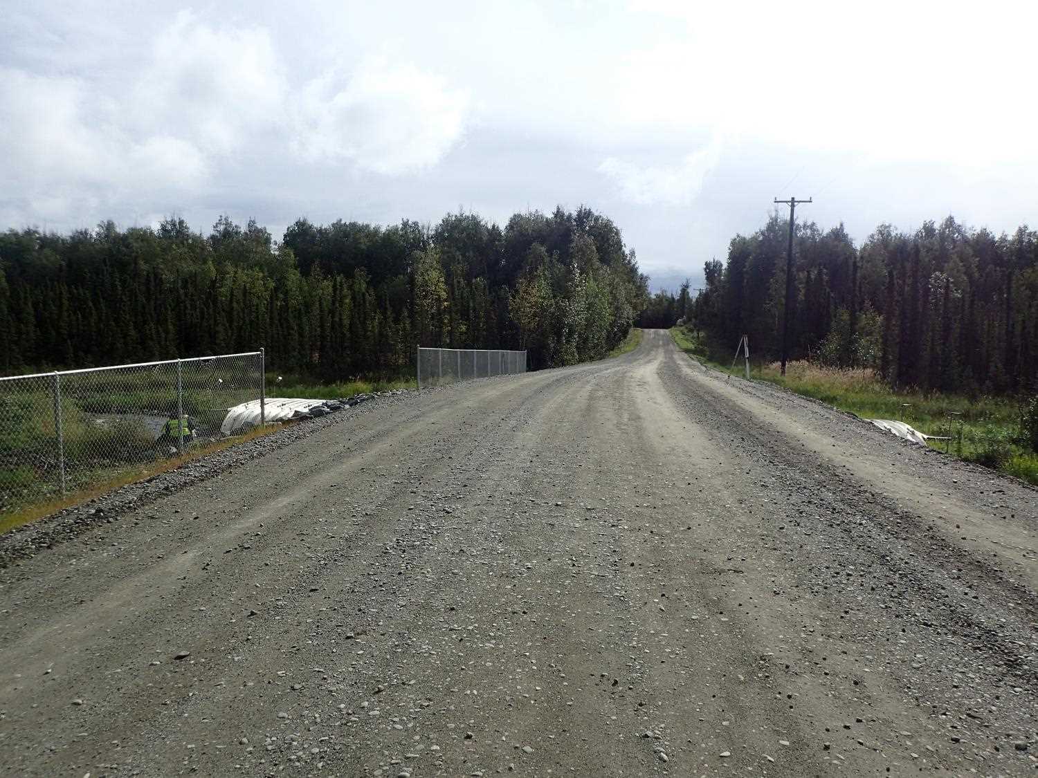
Road Name: O'Grady Drive
Datum: WGS84
Quad Name / ITM: Anchorage B-8
AWC Stream #:
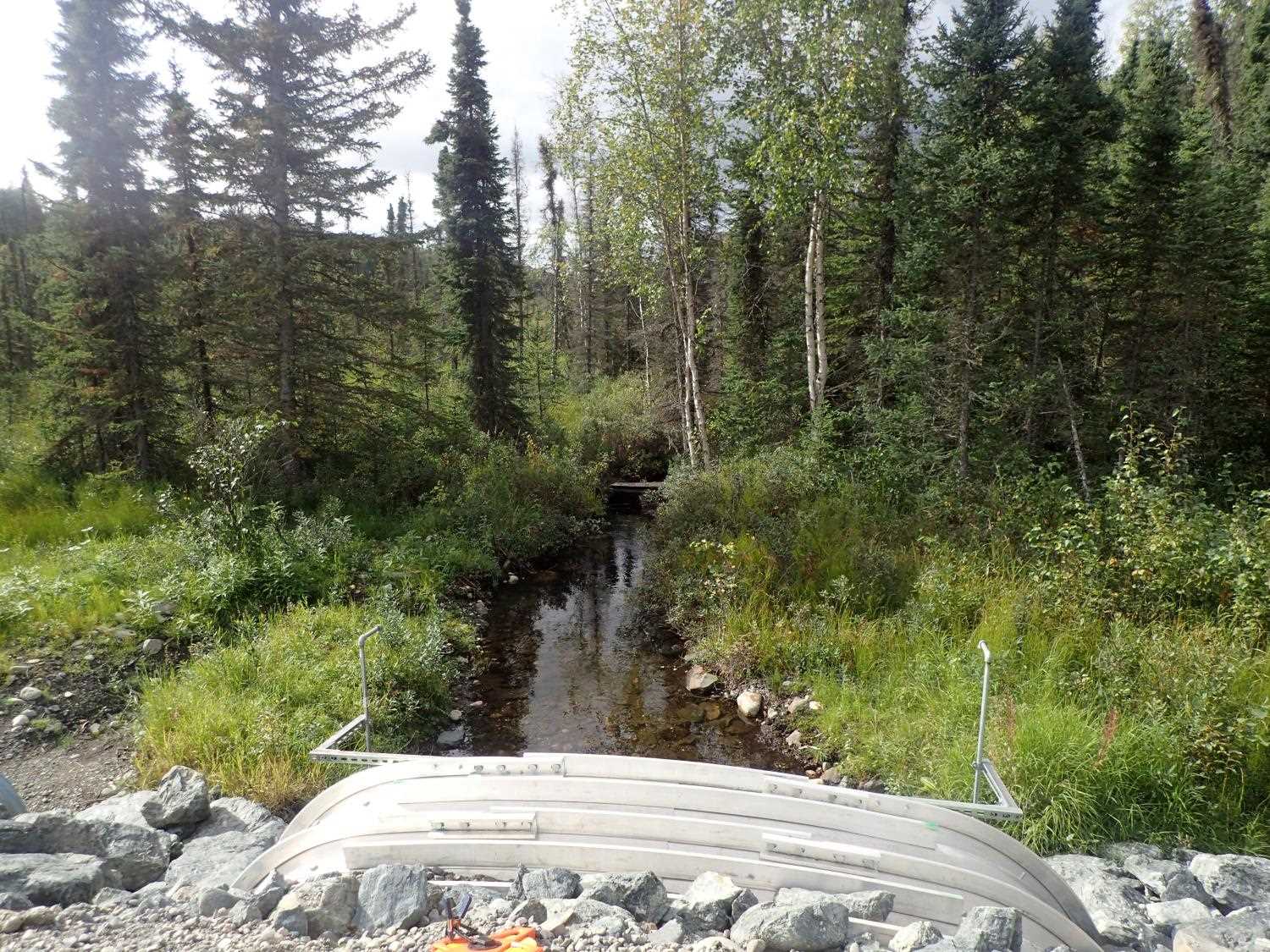
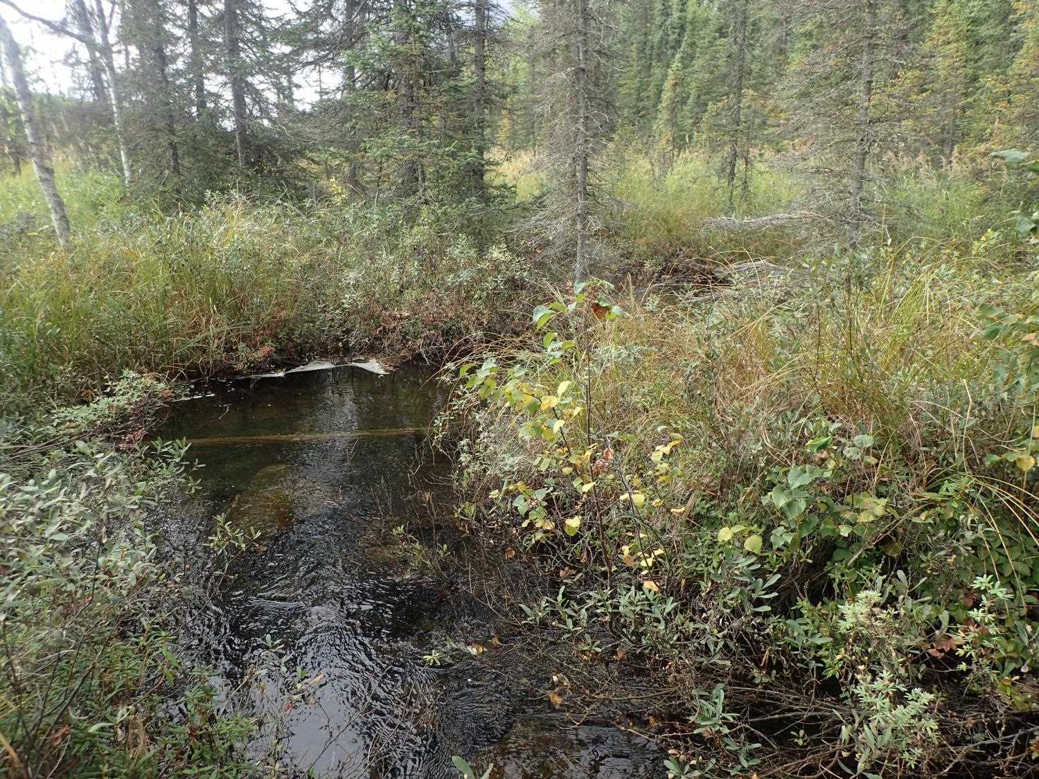
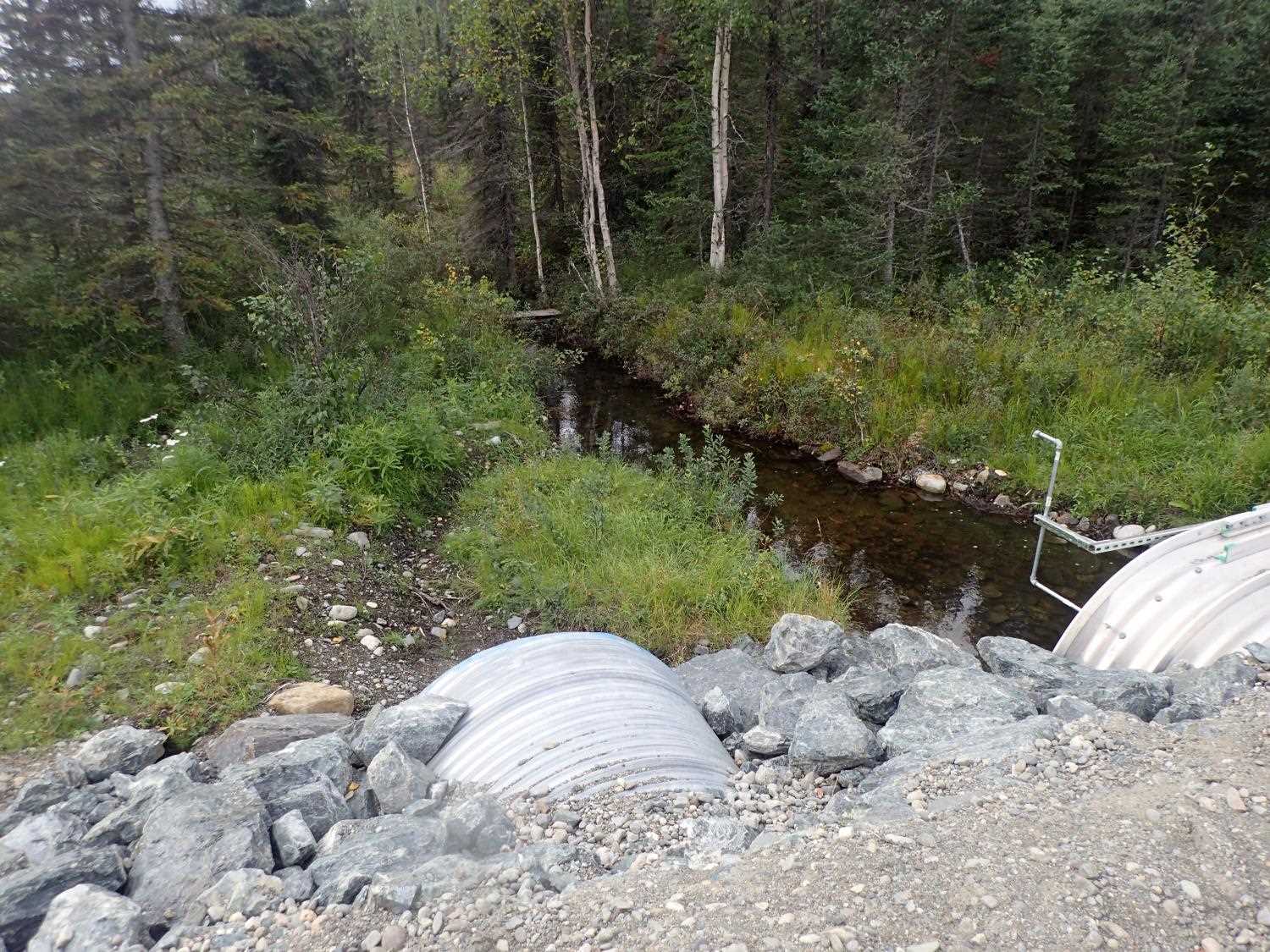
Stream Name: O'Brien Creek
Elevation:
Site Comments: None
arrow to the right of the survey date below to choose a different report for this site.
Survey MSB23-MS018
Project Supervisor: Michael Mazzacavallo, Alaska Department of Fish and Game
— Anchorage, AK
Observers: Michael Mazzacavallo, Beth Evers, Kat Leavitt
Overall Fish Passage Rating:
Tidal: No
Backwatered: No
Step Pools: No
Construction Year: 2022
Site Observations:
- None of this type
Comments: None
Culvert Measurements
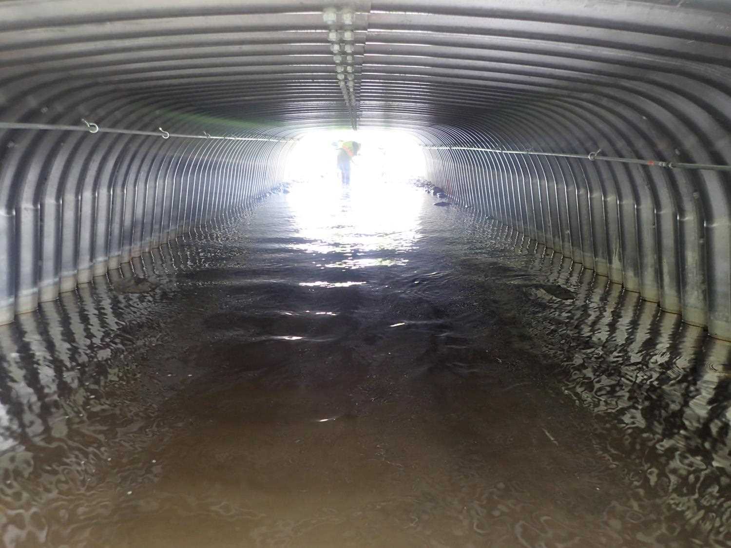
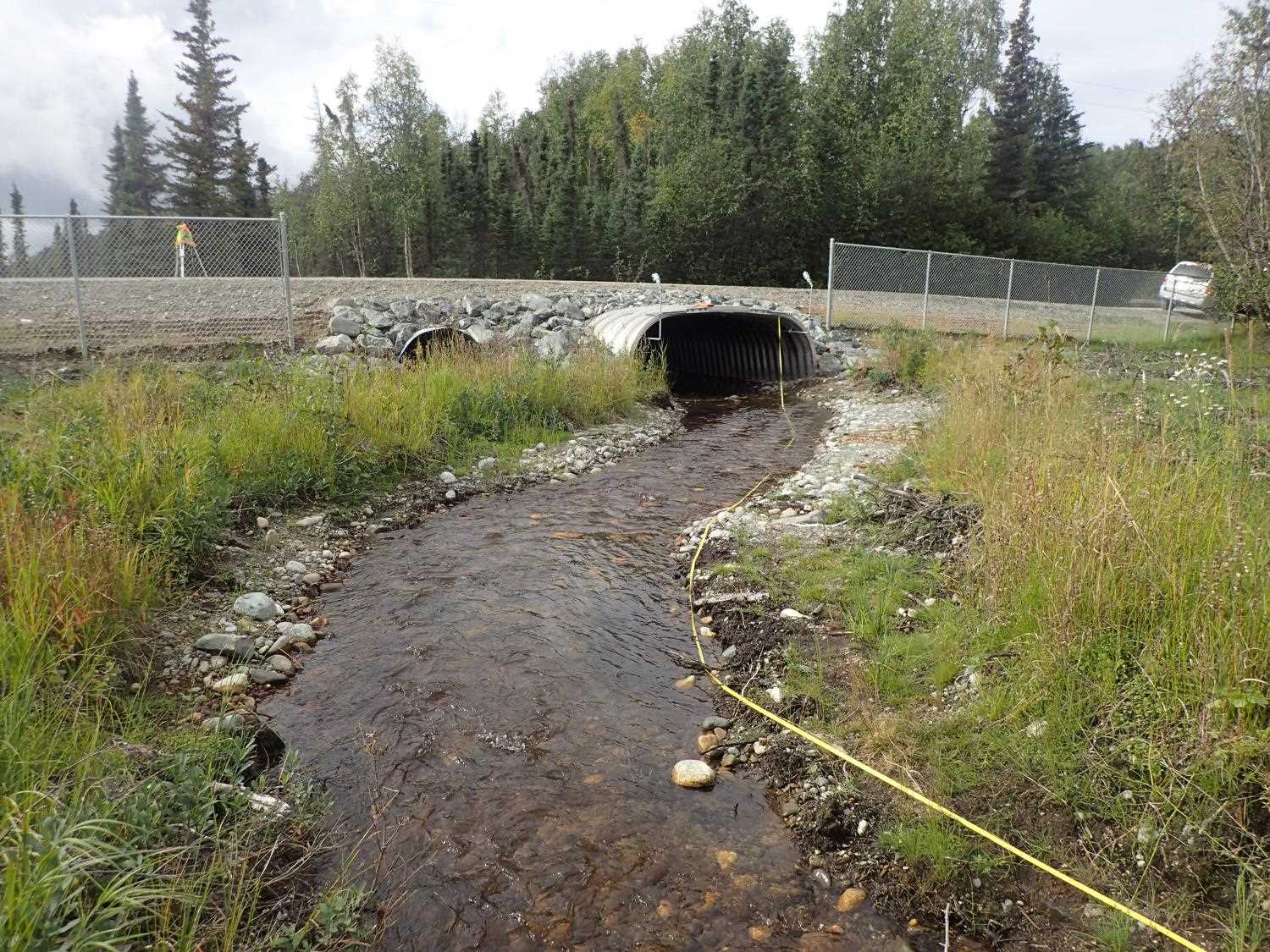
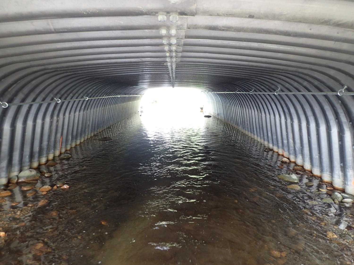
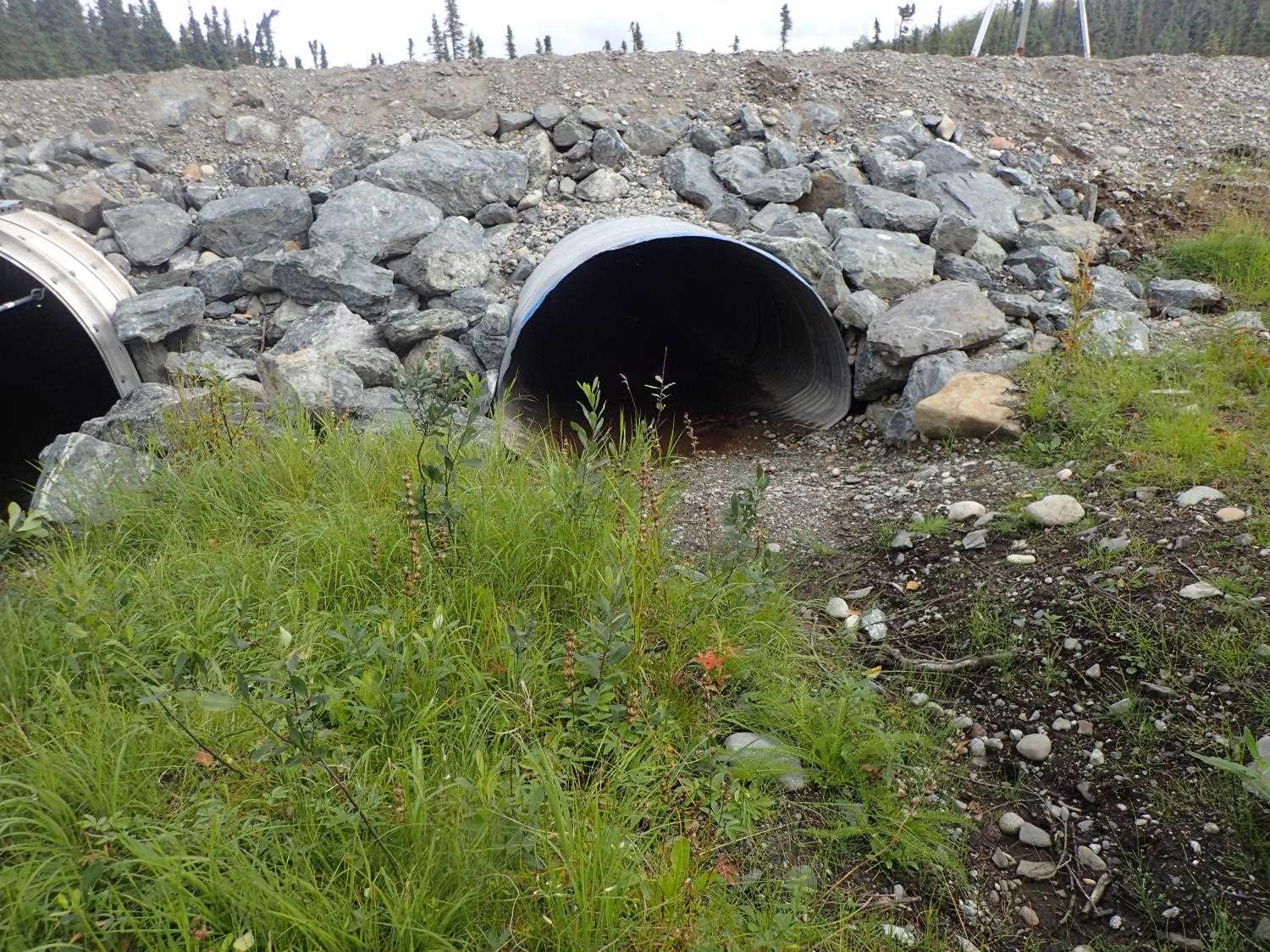
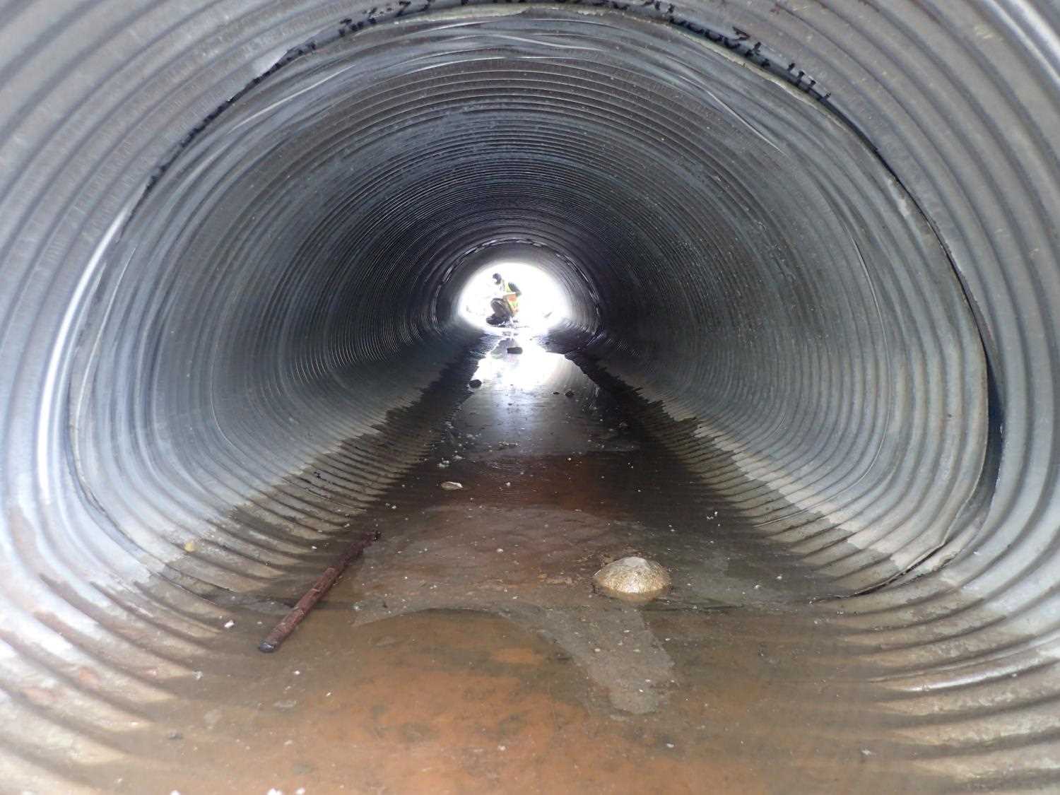
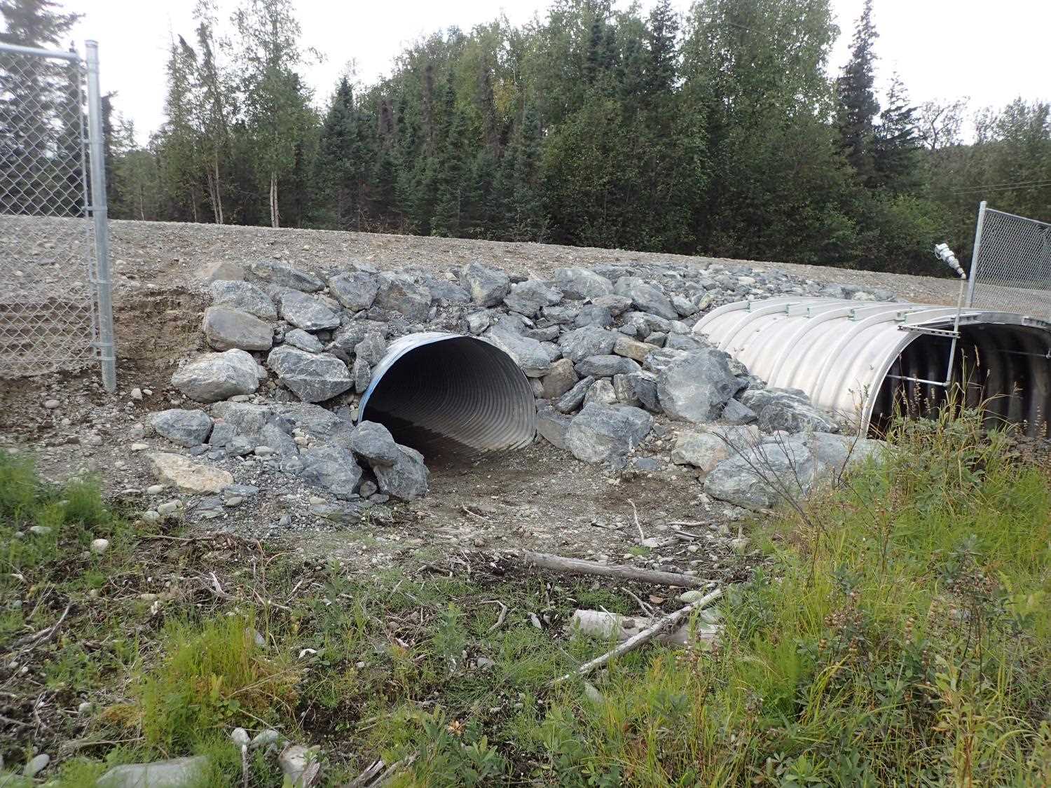
| ID: 1 | Structure Type: Pipe-arch (Corrugated steel) | Fish Passage Rating: | ||||||||||||||||||||||||||||||||||||||||||
|
|
|
||||||||||||||||||||||||||||||||||||||||||
Comments: No rust lines. Constriction ratio is greater than 2 - Observe for future stability. |
||||||||||||||||||||||||||||||||||||||||||||
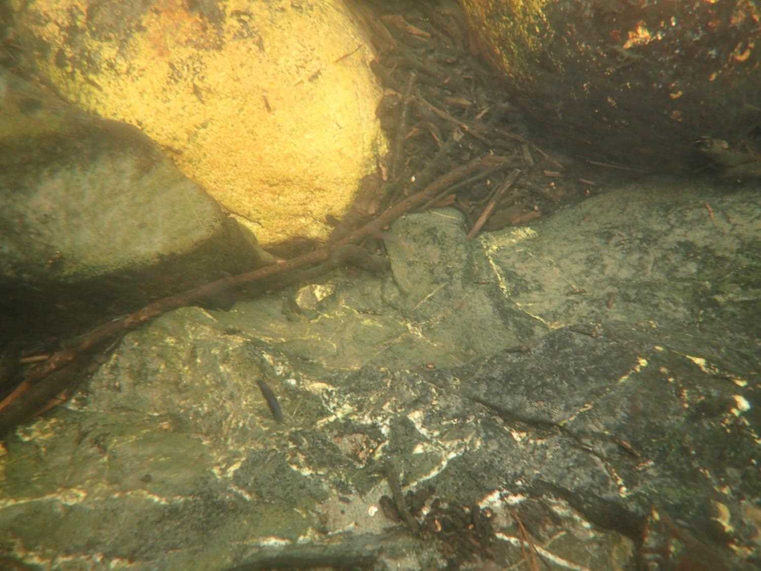
Culvert Observations:
|
||||||||||||||||||||||||||||||||||||||||||||
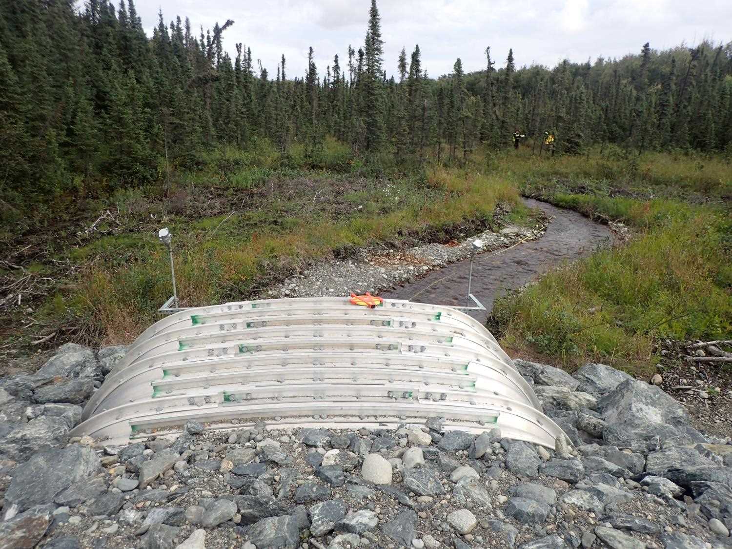
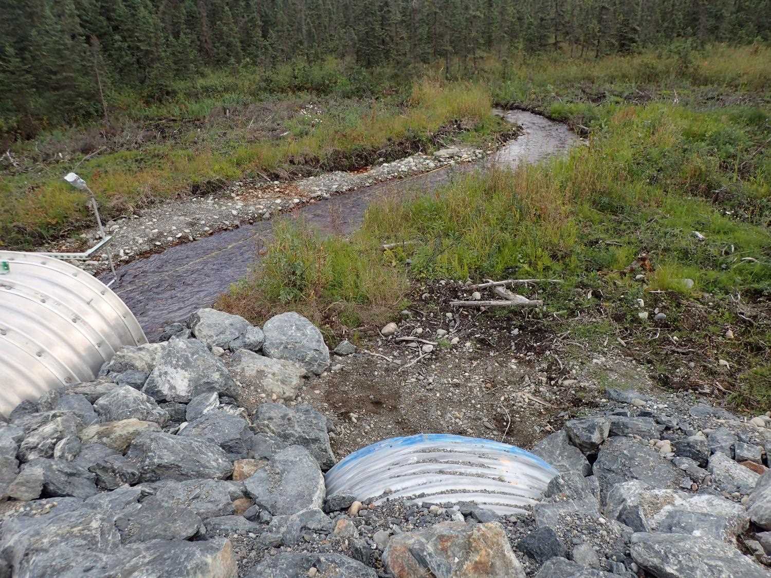
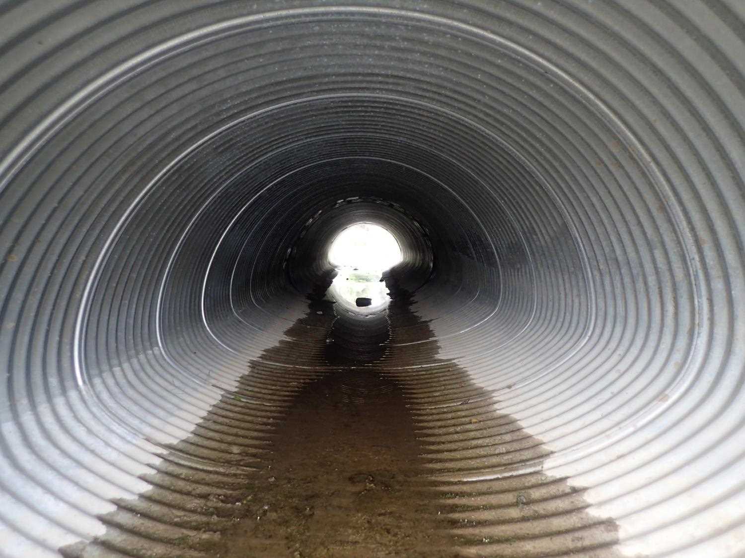
| ID: 2 | Structure Type: Box culvert (Structural aluminum plate) | Fish Passage Rating: | ||||||||||||||||||||||||||||||||||||||||||
|
|
|
||||||||||||||||||||||||||||||||||||||||||
Culvert Observations:
|
||||||||||||||||||||||||||||||||||||||||||||
Stream Measurements
|
|
| Stream Width Type | Distance From Crossing (ft) |
Stream Width (ft) |
|---|---|---|
| Upstream ordinary high water | 99.0 | 4.70 |
| Upstream ordinary high water | 106.0 | 5.00 |
| Upstream ordinary high water | 142.0 | 4.60 |
| Upstream ordinary high water | 200.0 | 5.10 |
Elevations
| Locator ID | Culvert Number |
River Distance (ft)1 |
Distance From Crossing (ft)2 |
Relative Elevation (ft) |
|---|---|---|---|---|
| Outlet Invert | 1 | 95.99 | ||
| Inlet Culvert Invert | 1 | 96.05 | ||
| Outlet Culvert Top | 1 | 99.28 | ||
| Inlet Culvert Top | 1 | 99.56 | ||
| Road Elev | 102.49 | |||
| U/S Water Surface Elev | 0.00 | 96.71 | ||
| U/S Thalweg | 0.00 | 94.78 | ||
| U/S Thalweg | 46.00 | 95.51 | ||
| U/S Water Surface Elev | 46.00 | 96.61 | ||
| U/S Water Surface Elev | 61.00 | 96.51 | ||
| U/S Thalweg | 61.00 | 96.07 | ||
| U/S Water Surface Elev | 80.00 | 96.23 | ||
| U/S Thalweg | 80.00 | 95.95 | ||
| U/S Water Surface Elev | 110.00 | 96.07 | ||
| U/S Thalweg | 110.00 | 95.47 | ||
| U/S Water Surface Elev | 2 | 117.00 | 95.87 | |
| Inlet Culvert Invert | 2 | 117.00 | 95.38 | |
| Inlet Culvert Top | 2 | 117.00 | 100.48 | |
| Outlet Culvert Top | 2 | 166.58 | 100.18 | |
| Outlet Invert | 2 | 166.58 | 94.71 | |
| D/S Water Surface Elev | 2 | 166.58 | 95.88 | |
| D/S Water Surface Elev | 200.58 | 95.83 | ||
| D/S Thalweg | 200.58 | 94.47 | ||
| D/S Thalweg | 234.58 | 94.46 | ||
| D/S Water Surface Elev | 234.58 | 95.72 | ||
| D/S Thalweg | 263.58 | 93.84 | ||
| D/S Water Surface Elev | 263.58 | 95.67 |
Notes:
- River distance is measured continuously throughout the survey reach along the thalweg of the stream.
- Measured from each end of the crossing along the thalweg of the stream.
Fish Sampling Efforts
No fish sampling occurred during this survey.
Fish Observations
No fish observations occurred during this survey.
Photos

Questions or comments about this report can be directed to dfg.dsf.webmaster@alaska.gov