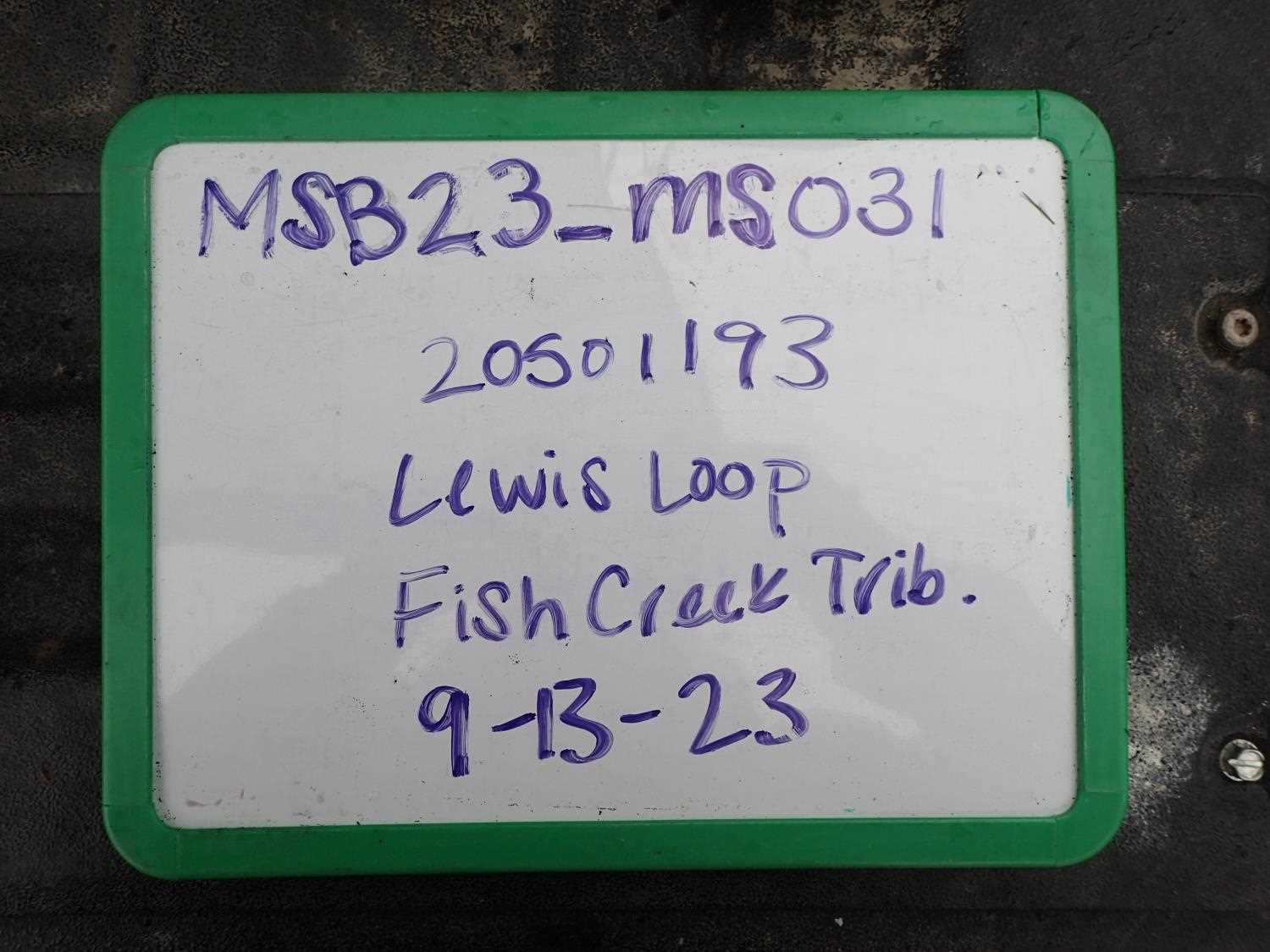
Fish Passage Site 20501193
Coordinates (dec. deg.): 61.45491°, -149.80890°
Legal Description: S016N003W28
Region: South Central
Road Name: Lewis Loop
Datum: WGS84
Quad Name / ITM: Anchorage B-8
AWC Stream #:
Stream Name: Fish Creek Tributary
Elevation:
Site Comments: None
arrow to the right of the survey date below to choose a different report for this site.
Survey MSB23-MS031
Project Supervisor: Michael Mazzacavallo, Alaska Department of Fish and Game
— Anchorage, AK
Observers: Michael Mazzacavallo, Kat Leavitt, Beth Evers
Overall Fish Passage Rating:
Tidal: No
Backwatered: No
Step Pools: No
Construction Year:
Site Observations:
- Constriction ratio gray
- Compound gradient in pipe
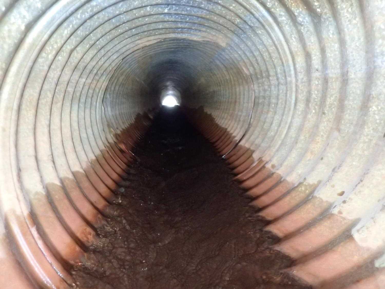
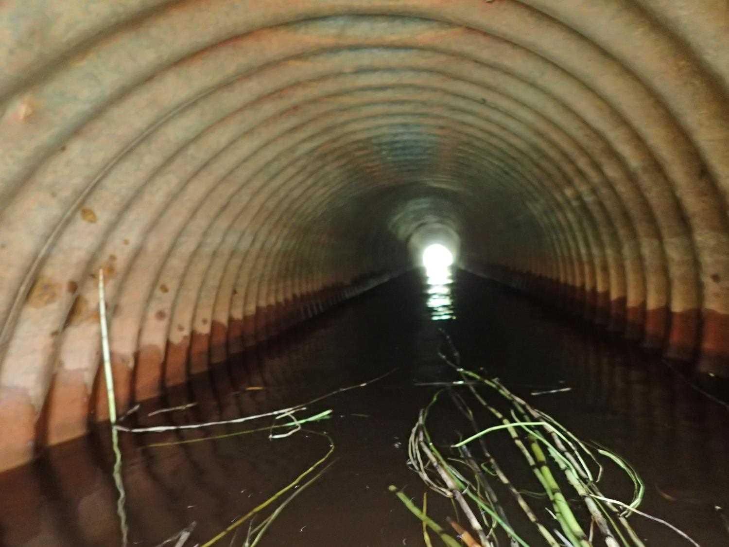
Comments: Damage on both culverts, folded metal.
Culvert Measurements
| ID: 1 | Structure Type: Circular pipe (Corrugated steel) | Fish Passage Rating: | ||||||||||||||||||||||||||||||||||||||||||
|
|
|
||||||||||||||||||||||||||||||||||||||||||
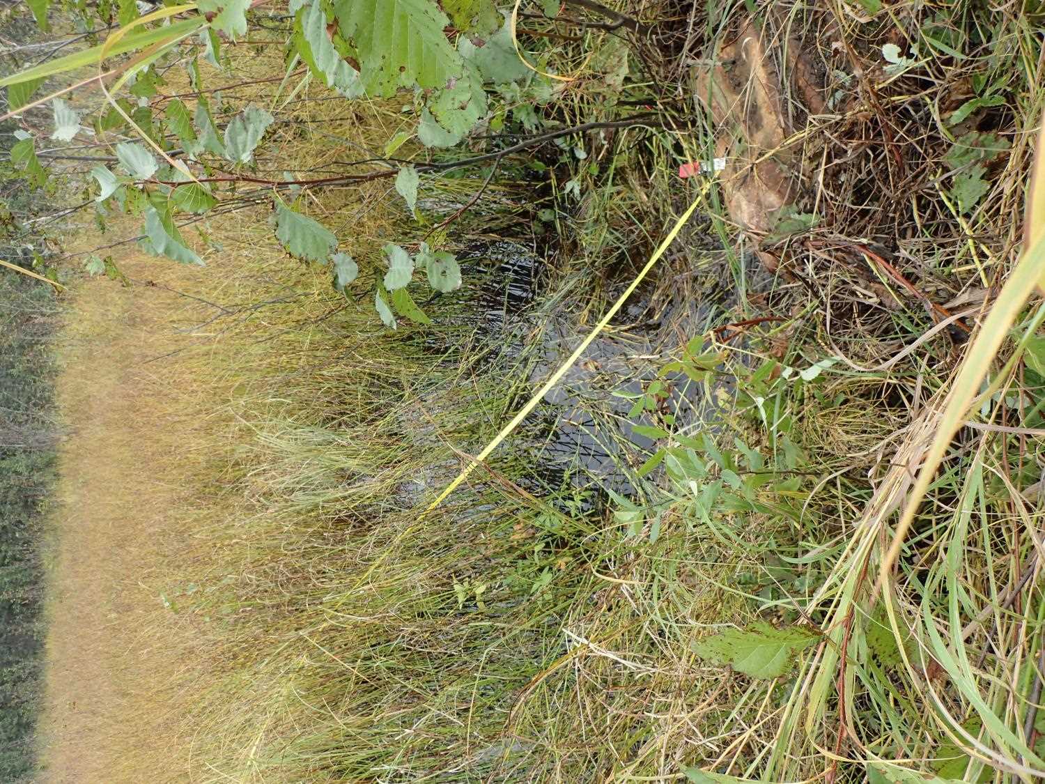
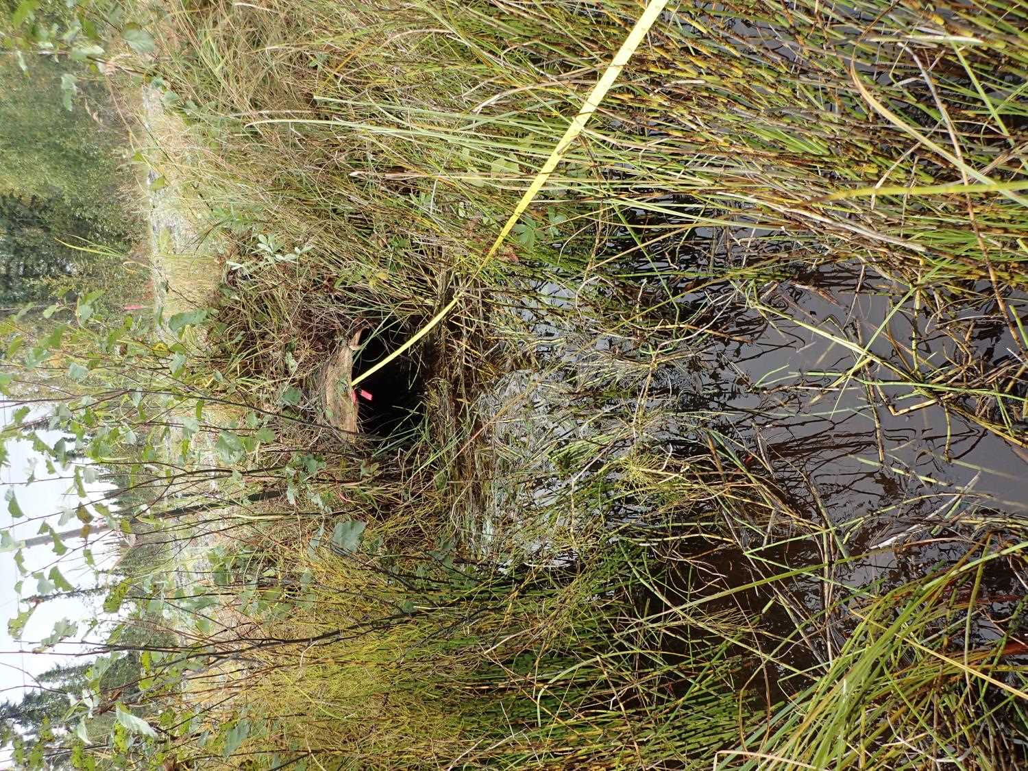
Comments: Took D/S widths due to inlet being a large marsh, no distinct streams U/S. Adjusted length of culvert in calculations to acount for the damage at inlet. (-0.9) Greater slope in lower half pipe, bows in middle. |
||||||||||||||||||||||||||||||||||||||||||||
Culvert Observations:
|
||||||||||||||||||||||||||||||||||||||||||||
Stream Measurements
|
|
| Stream Width Type | Distance From Crossing (ft) |
Stream Width (ft) |
|---|---|---|
| Downstream ordinary high water | 55.0 | 4.10 |
| Downstream ordinary high water | 82.0 | 3.60 |
| Downstream ordinary high water | 103.0 | 4.20 |
Elevations
| Locator ID | Culvert Number |
River Distance (ft)1 |
Distance From Crossing (ft)2 |
Relative Elevation (ft) |
|---|---|---|---|---|
| Road Elev | 100.22 | |||
| U/S Thalweg | 0.00 | 97.33 | ||
| U/S Water Surface Elev | 0.00 | 97.95 | ||
| U/S Water Surface Elev | 100.00 | 97.77 | ||
| Inlet Culvert Invert | 100.00 | 96.96 | ||
| Inlet Culvert Top | 100.00 | 98.88 | ||
| Outlet Culvert Top | 146.09 | 98.76 | ||
| Outlet Invert | 146.09 | 96.40 | ||
| D/S Water Surface Elev | 146.09 | 96.95 | ||
| D/S Thalweg | 249.09 | 94.47 | ||
| D/S Water Surface Elev | 249.09 | 95.57 |
Notes:
- River distance is measured continuously throughout the survey reach along the thalweg of the stream.
- Measured from each end of the crossing along the thalweg of the stream.
Fish Sampling Efforts
No fish sampling occurred during this survey.
Fish Observations
No fish observations occurred during this survey.
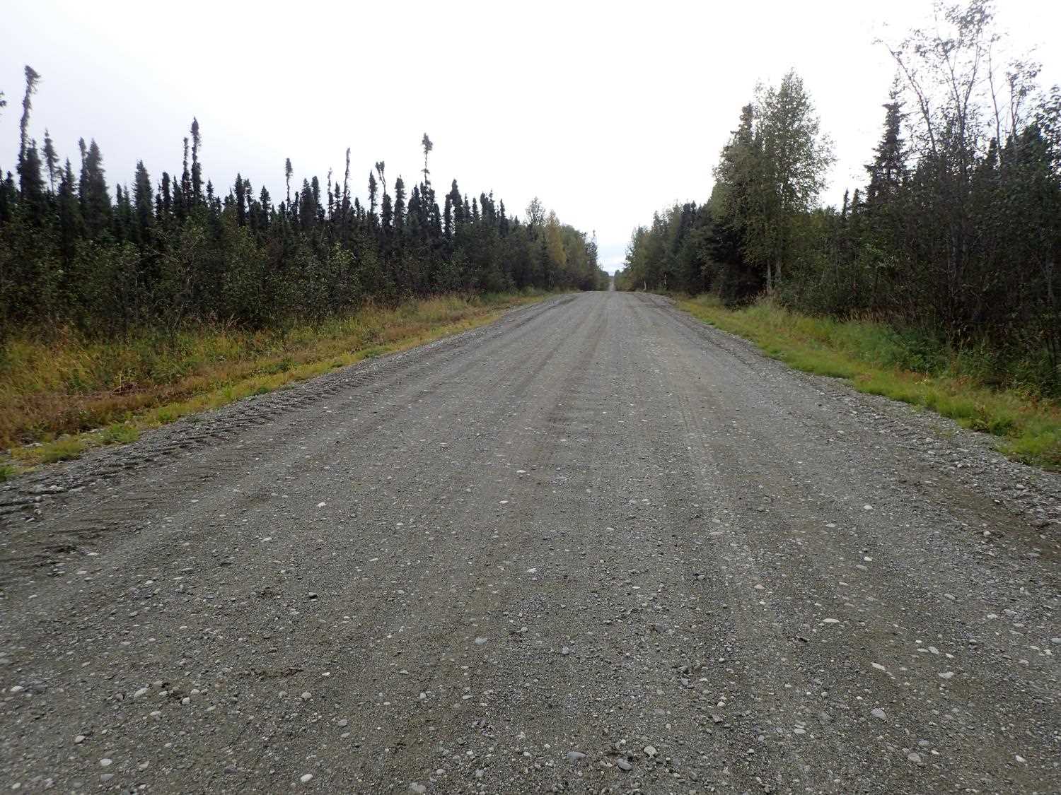
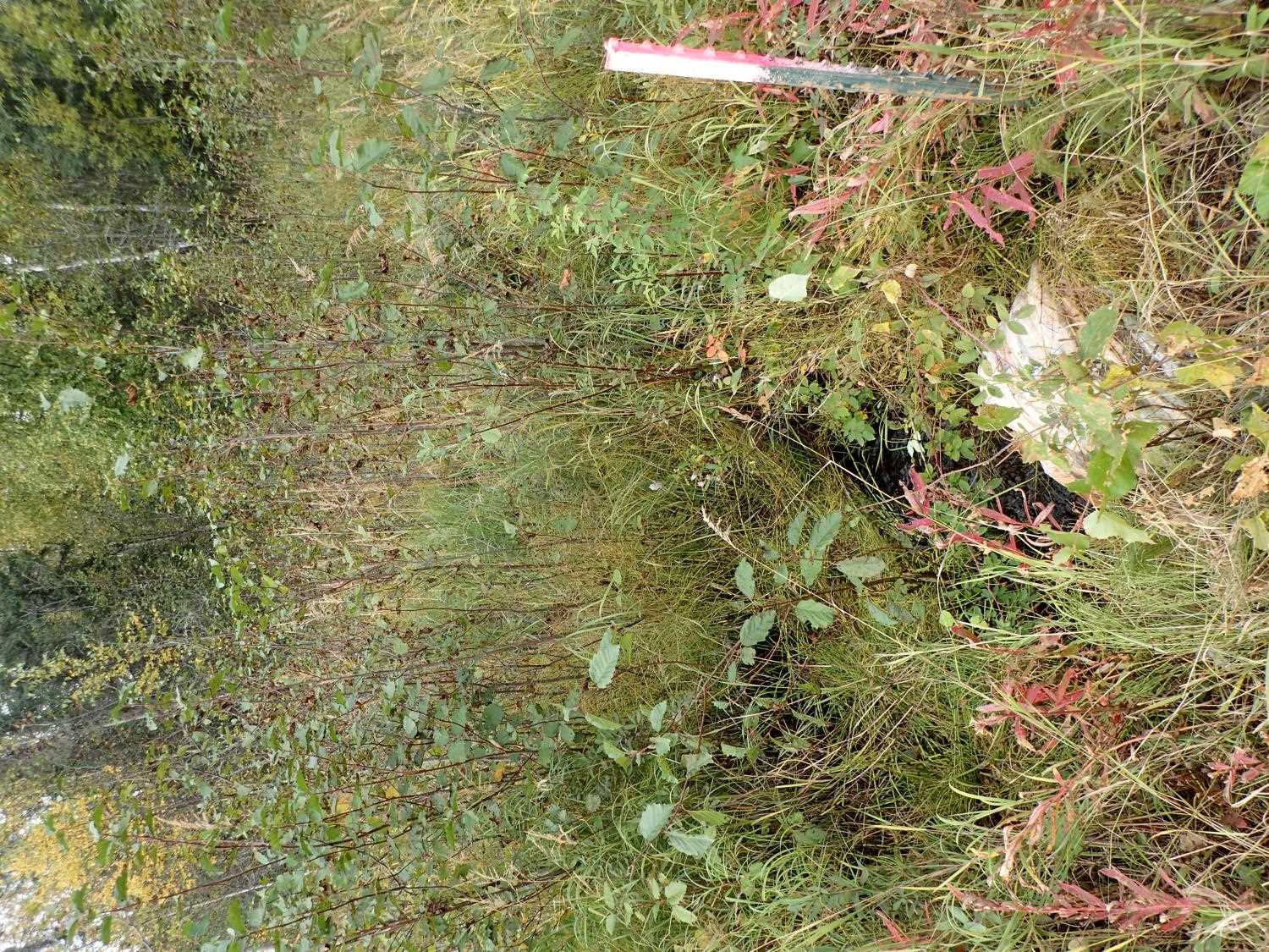
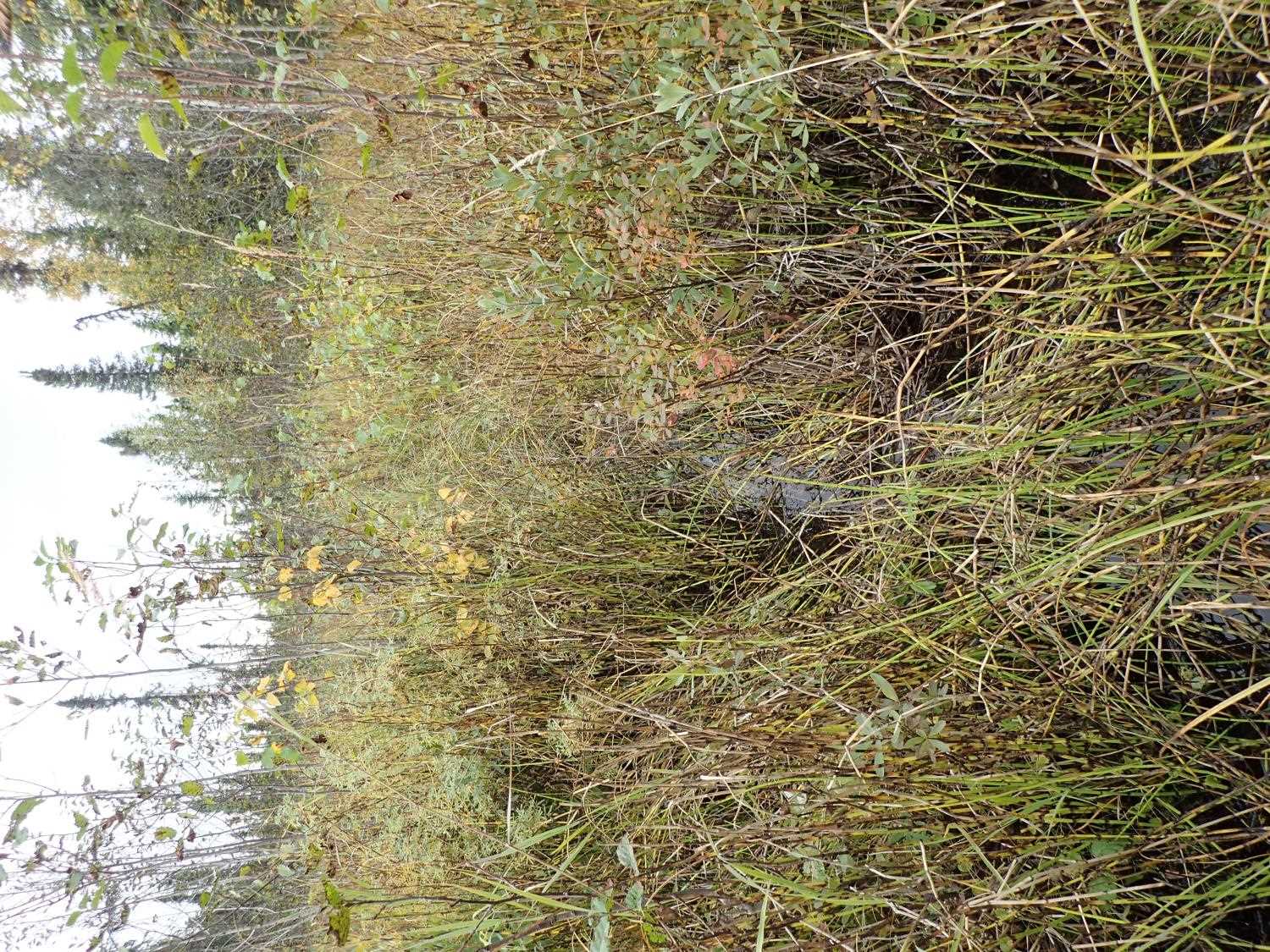
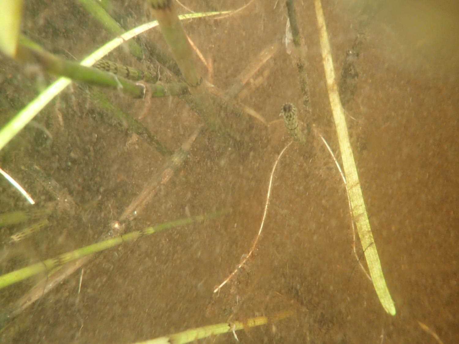
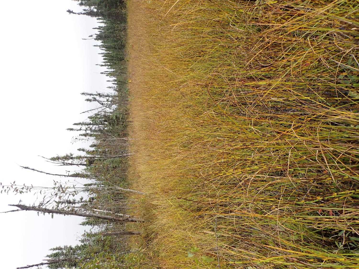
Photos

Questions or comments about this report can be directed to dfg.dsf.webmaster@alaska.gov