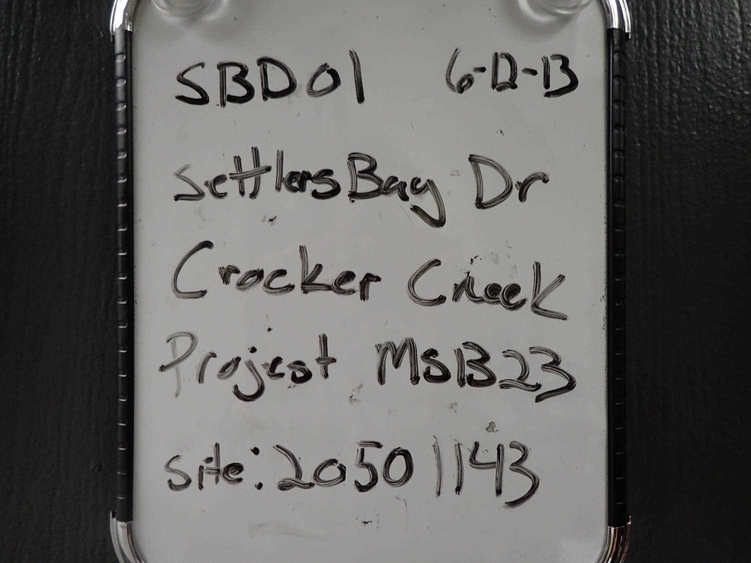
Fish Passage Site 20501143
Coordinates (dec. deg.): 61.50107°, -149.62038°
Legal Description: S016N002W03
Region: South Central
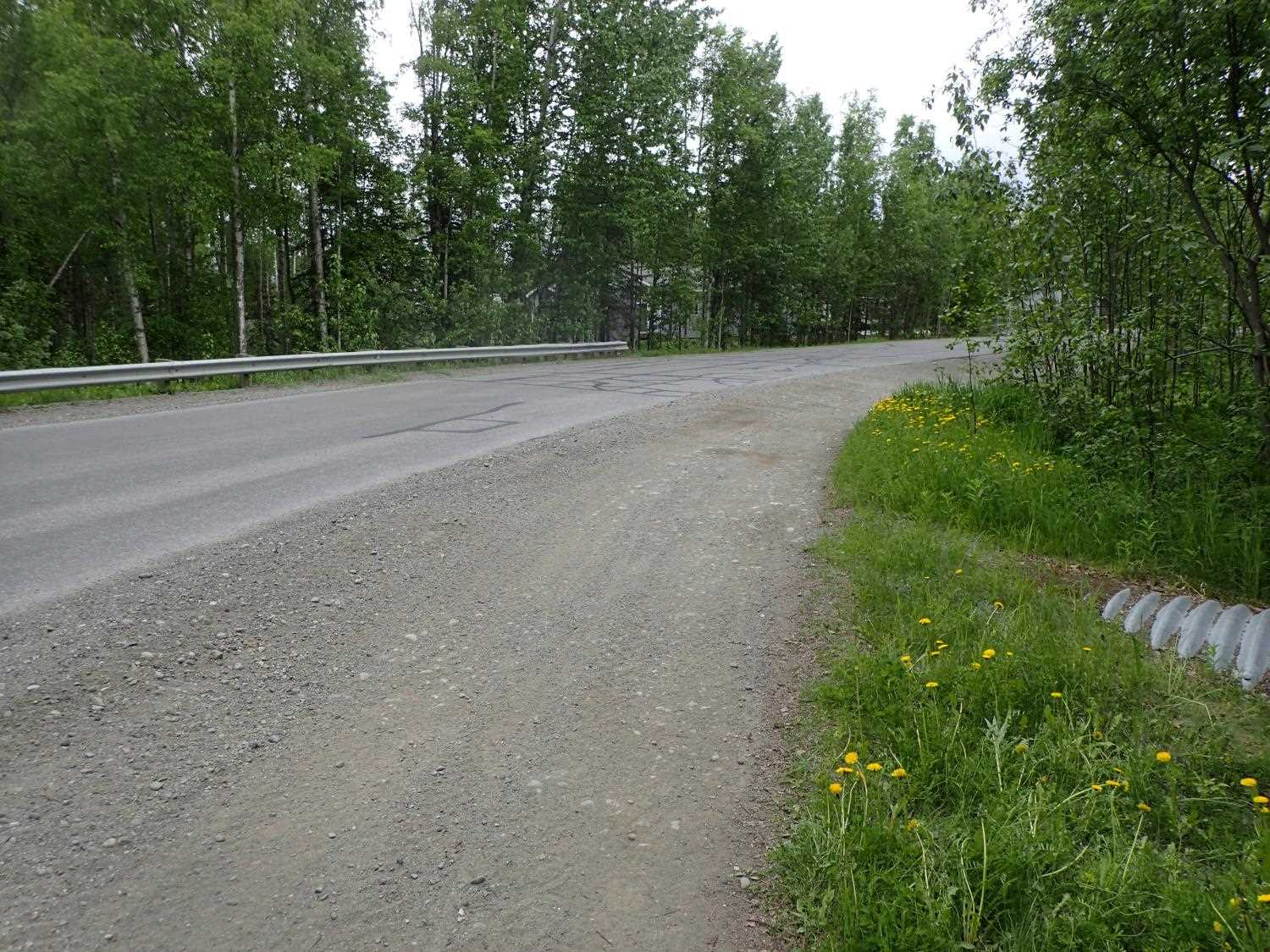
Road Name: Settler Bay Drive
Datum: NAD83
Quad Name / ITM: Anchorage C-7
AWC Stream #: 247-50-10305
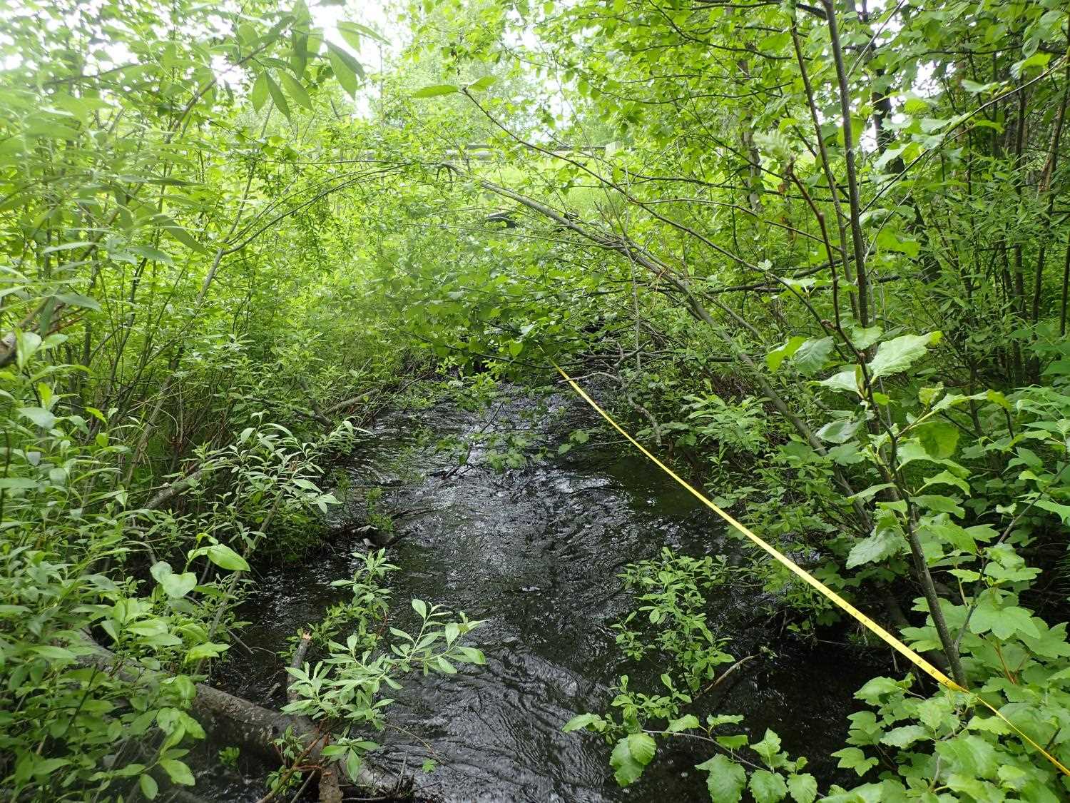
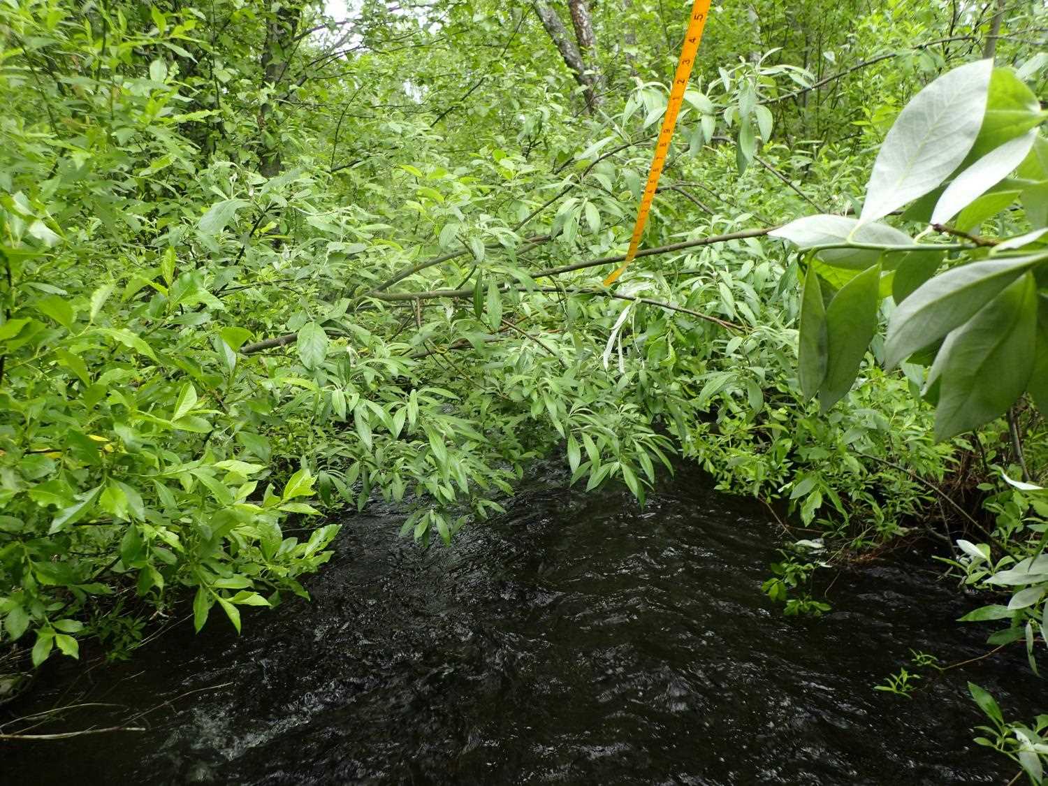
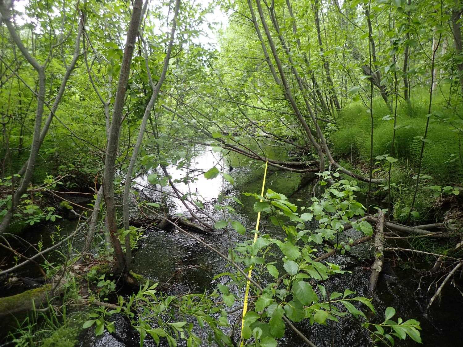
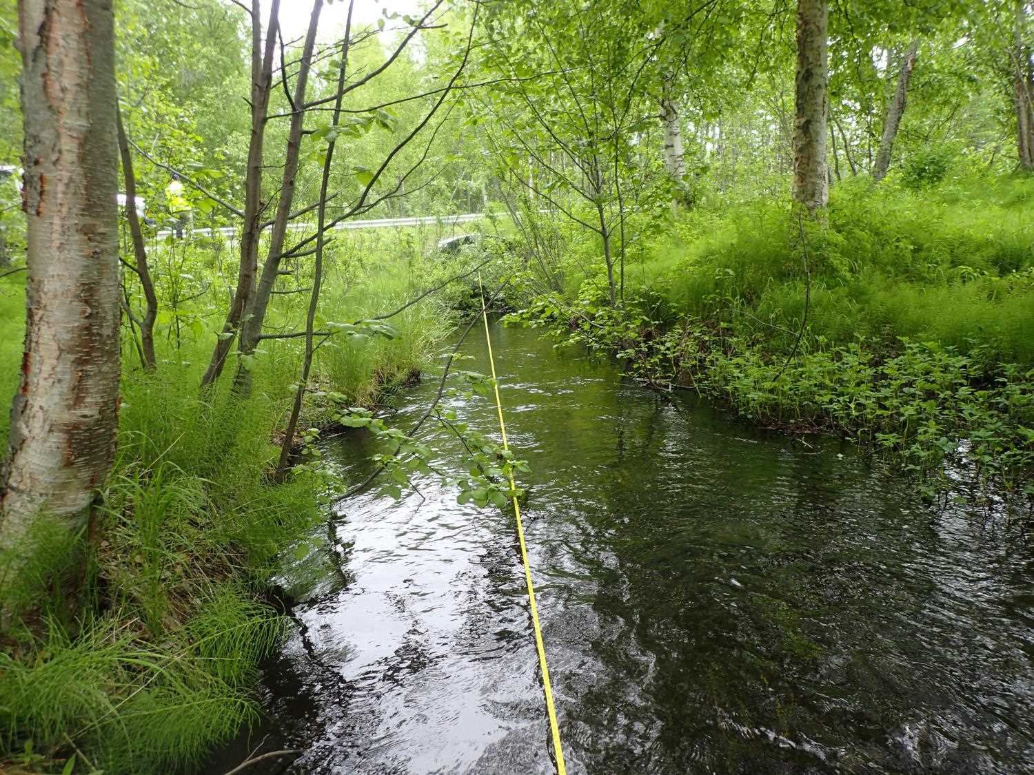
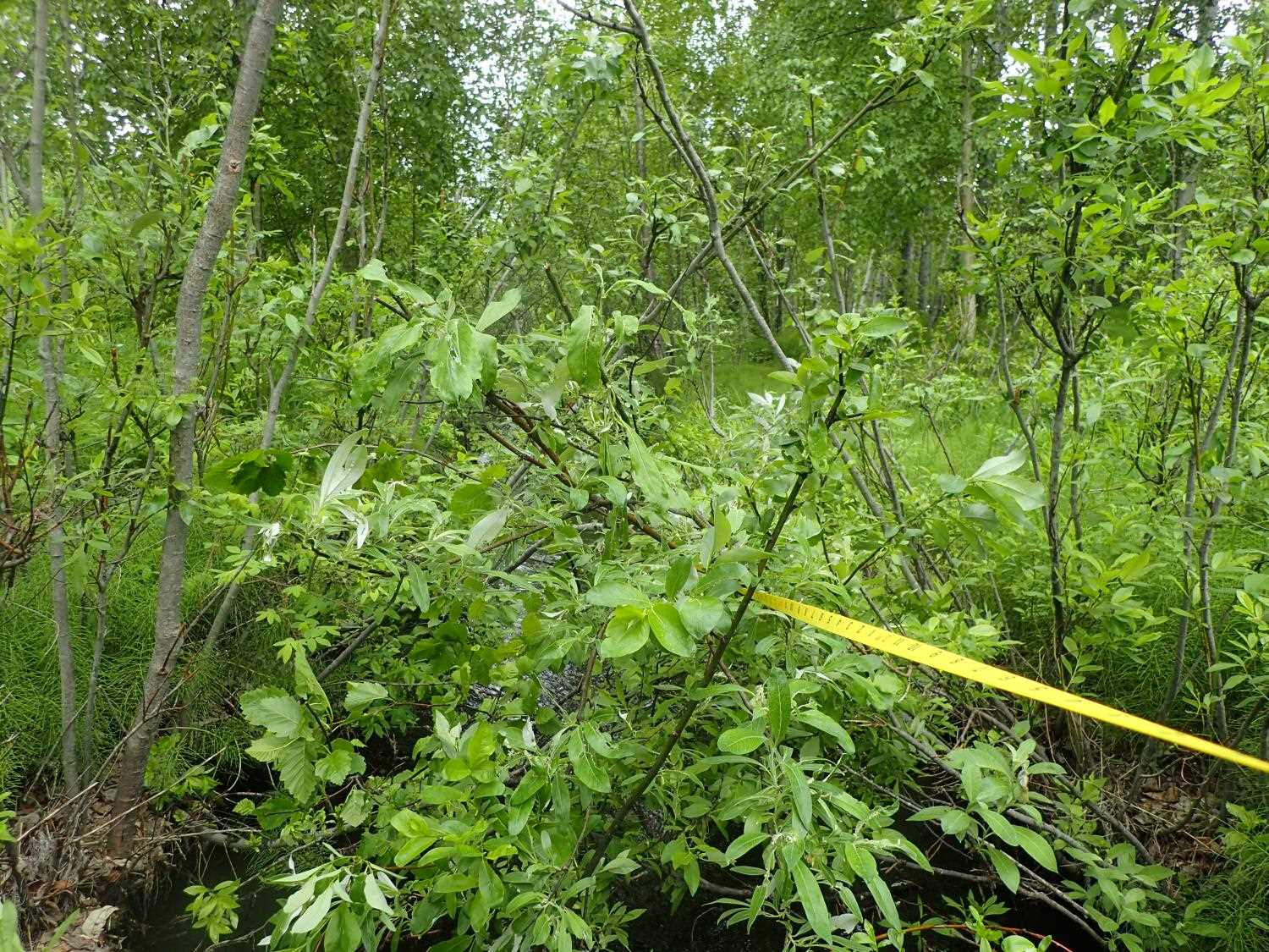
Stream Name: Crocker Creek
Elevation:
Site Comments: None
arrow to the right of the survey date below to choose a different report for this site.
Survey MSB23-SBD01
Project Supervisor: Michael Mazzacavallo, Alaska Department of Fish and Game
— Anchorage, AK
Observers: Michael Mazzacavallo, Kevin Keith
Overall Fish Passage Rating:
Tidal: No
Backwatered: No
Step Pools: No
Construction Year: 2012
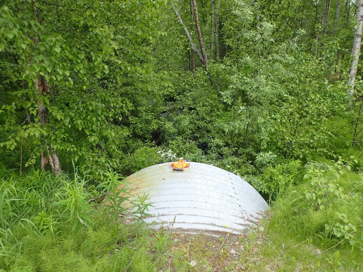
Site Observations:
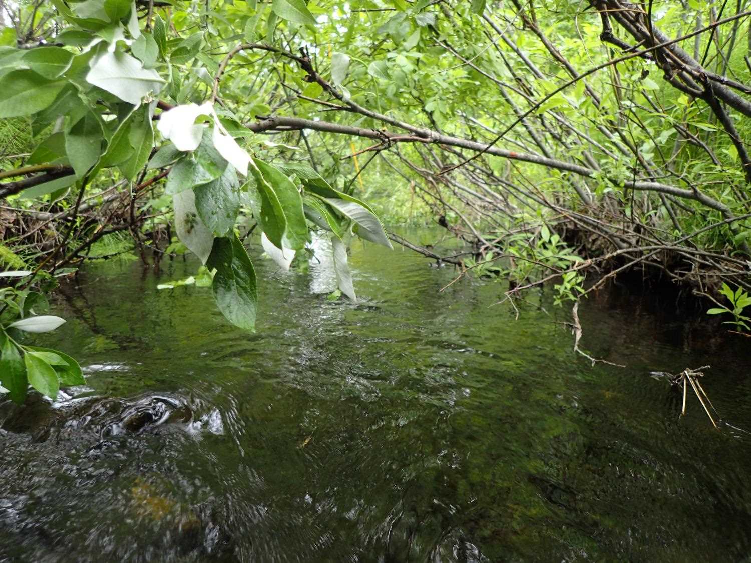
- Woody Debris
Comments: Trench willows in great condition.
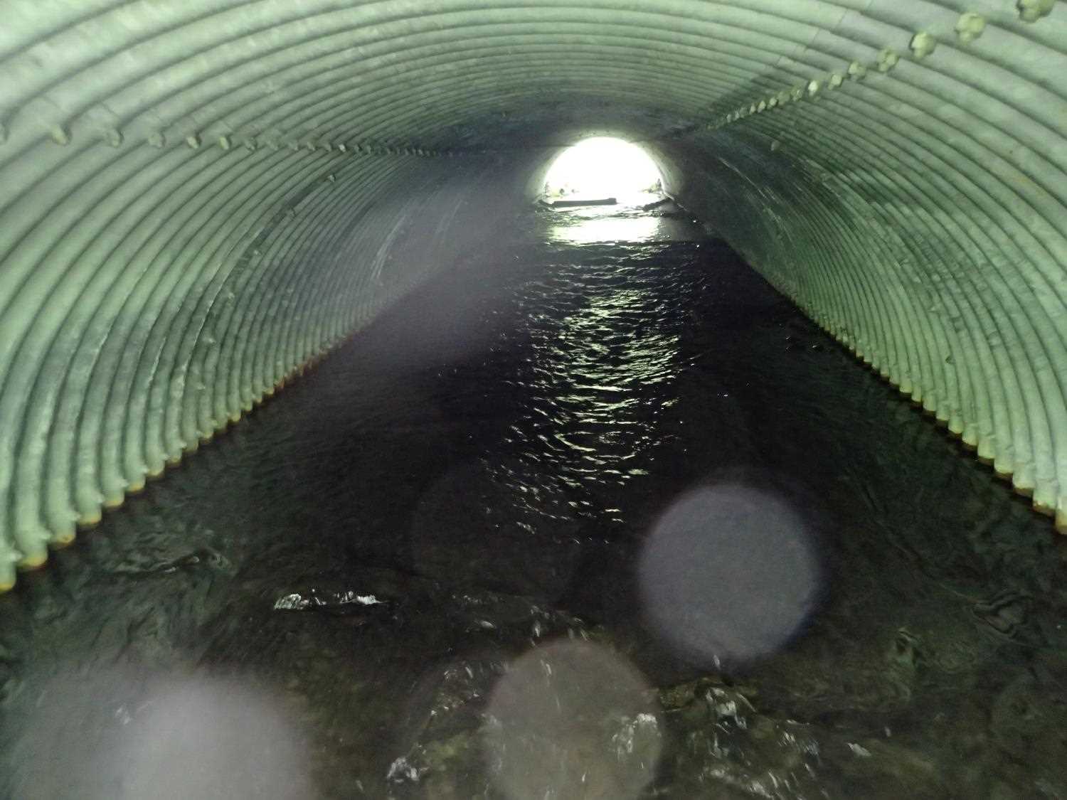
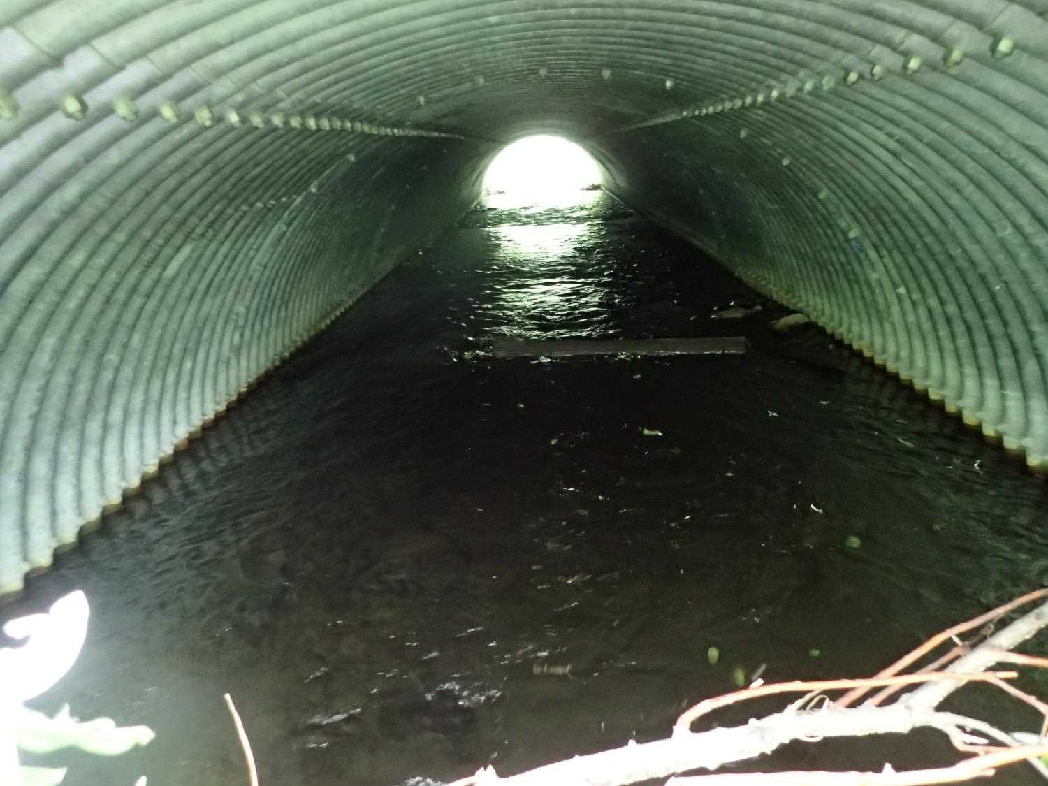
Culvert Measurements
| ID: 1 | Structure Type: Pipe-arch (Structural steel plate) | Fish Passage Rating: | ||||||||||||||||||||||||||||||||||||||||||
|
|
|
||||||||||||||||||||||||||||||||||||||||||
Comments: Replaced in 2012. |
||||||||||||||||||||||||||||||||||||||||||||
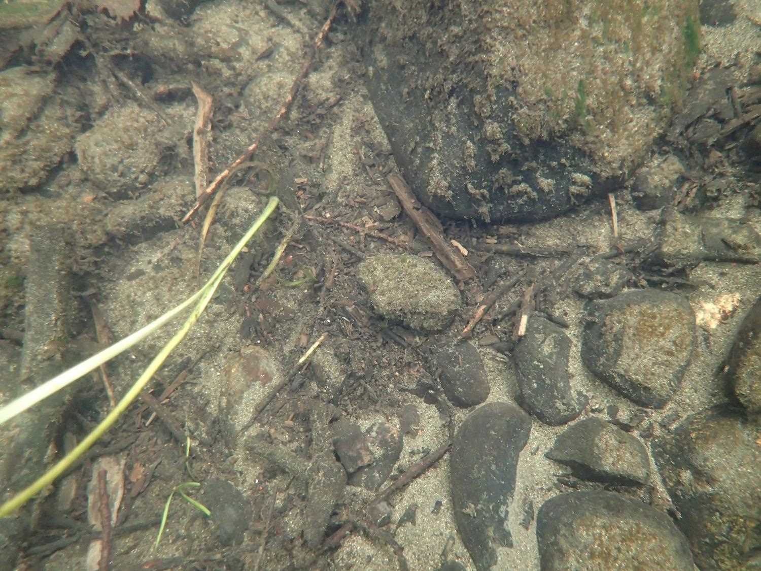
Culvert Observations:
|
||||||||||||||||||||||||||||||||||||||||||||
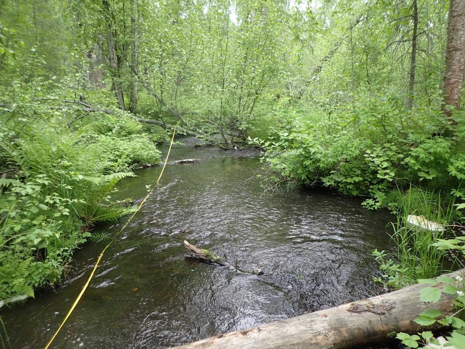
Stream Measurements
|
|
| Stream Width Type | Distance From Crossing (ft) |
Stream Width (ft) |
|---|---|---|
| Upstream ordinary high water | 35.0 | 9.10 |
| Upstream ordinary high water | 53.0 | 11.20 |
| Upstream ordinary high water | 95.0 | 14.80 |
| Upstream ordinary high water | 120.0 | 11.50 |
Elevations
| Locator ID | Culvert Number |
River Distance (ft)1 |
Distance From Crossing (ft)2 |
Relative Elevation (ft) |
|---|---|---|---|---|
| Road Elev | 102.38 | |||
| D/S Thalweg | 0.00 | 92.60 | ||
| D/S Water Surface Elev | 0.00 | 93.36 | ||
| D/S Thalweg | 37.00 | 93.63 | ||
| D/S Water Surface Elev | 37.00 | 94.03 | ||
| D/S Water Surface Elev | 63.00 | 94.21 | ||
| D/S Thalweg | 63.00 | 93.31 | ||
| Outlet Culvert Top | 100.30 | 99.28 | ||
| Outlet Invert | 100.30 | 94.22 | ||
| D/S Water Surface Elev | 100.30 | 94.76 | ||
| Inlet Culvert Invert | 178.77 | 94.84 | ||
| Inlet Culvert Top | 178.77 | 98.87 | ||
| U/S Water Surface Elev | 178.77 | 95.78 | ||
| U/S Water Surface Elev | 222.77 | 95.88 | ||
| U/S Thalweg | 222.77 | 95.31 | ||
| U/S Water Surface Elev | 273.77 | 95.97 | ||
| U/S Thalweg | 273.77 | 95.20 |
Notes:
- River distance is measured continuously throughout the survey reach along the thalweg of the stream.
- Measured from each end of the crossing along the thalweg of the stream.
Fish Sampling Efforts
No fish sampling occurred during this survey.
Fish Observations
No fish observations occurred during this survey.
Photos
Questions or comments about this report can be directed to dfg.dsf.webmaster@alaska.gov