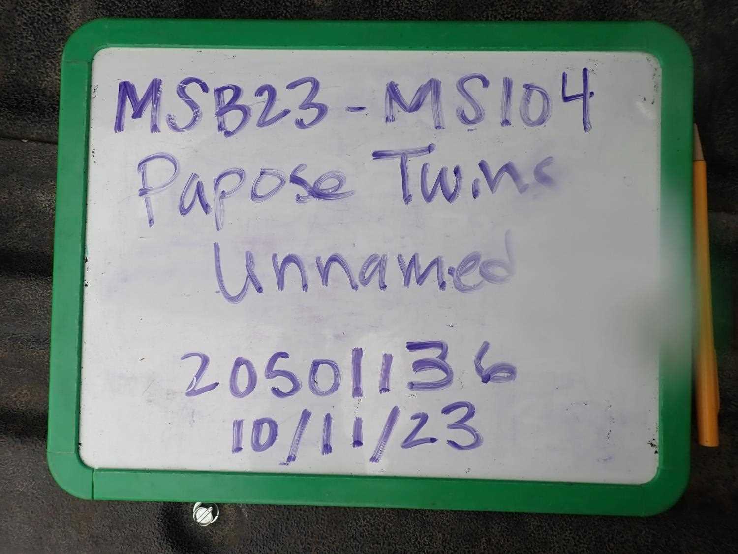
Fish Passage Site 20501136
Coordinates (dec. deg.): 61.51417°, -150.08558°
Legal Description: S017N005W36
Region: South Central
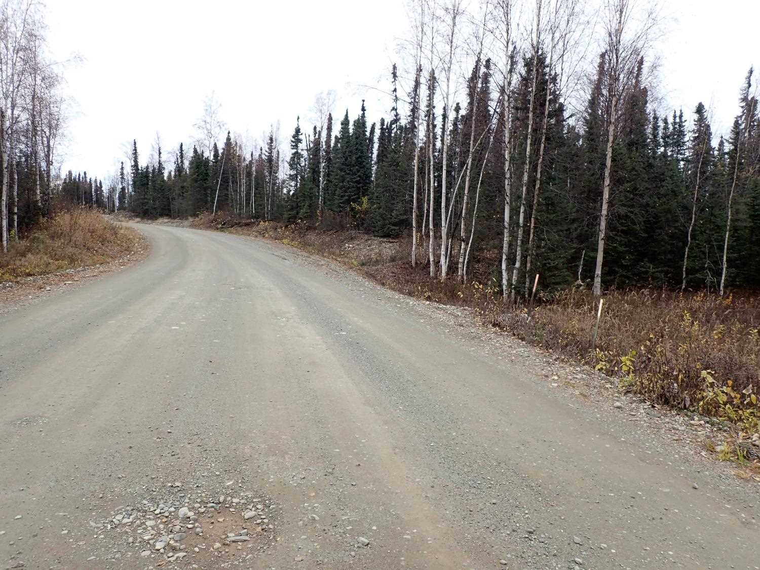
Road Name: Papoose Twins Road
Datum: NAD83
Quad Name / ITM: Tyonek C-1
AWC Stream #:
Stream Name: Unnamed
Elevation:
Site Comments: None
arrow to the right of the survey date below to choose a different report for this site.
Survey MSB23-MS104
Project Supervisor: Michael Mazzacavallo, Alaska Department of Fish and Game
— Anchorage, AK
Observers: Michael Mazzacavallo, Kat Leavitt, Beth Evers
Overall Fish Passage Rating:
Tidal: No
Backwatered: No
Step Pools: No
Construction Year:
Site Observations:
- Culvert gradient red
Comments: None
Culvert Measurements
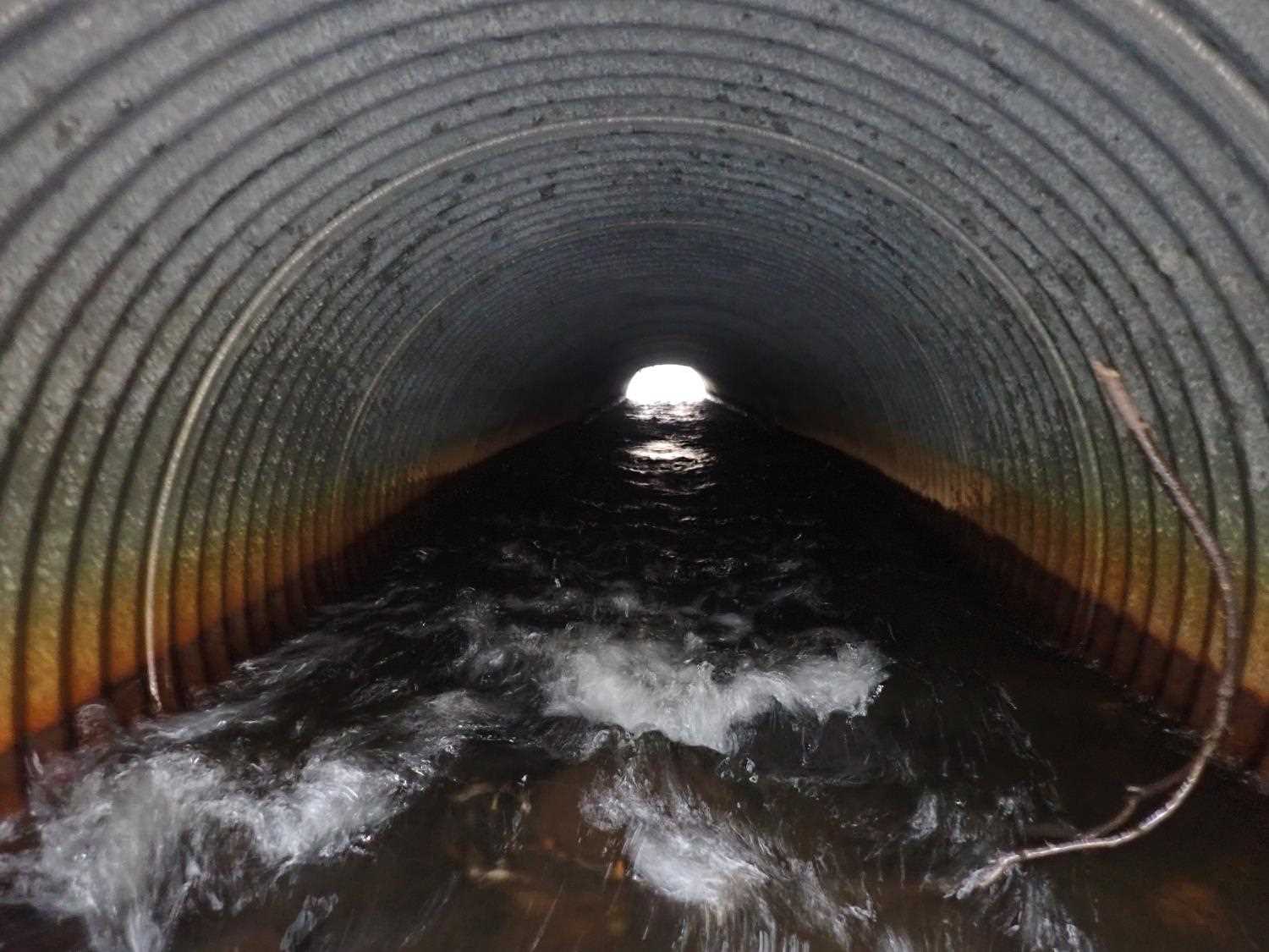
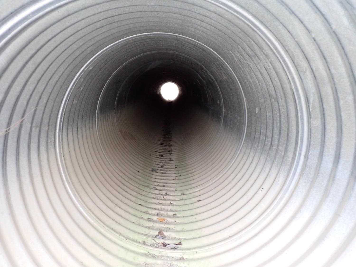
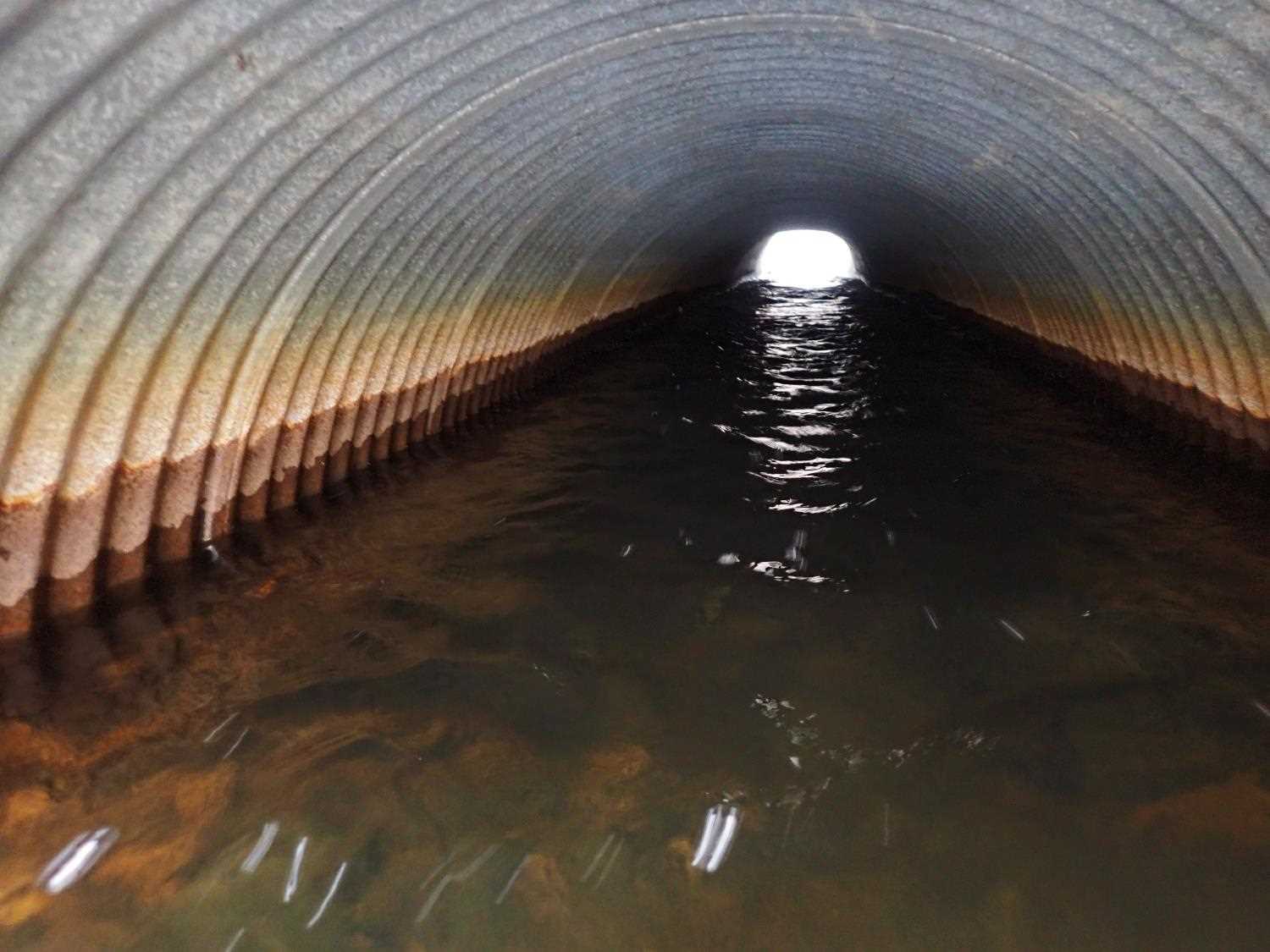
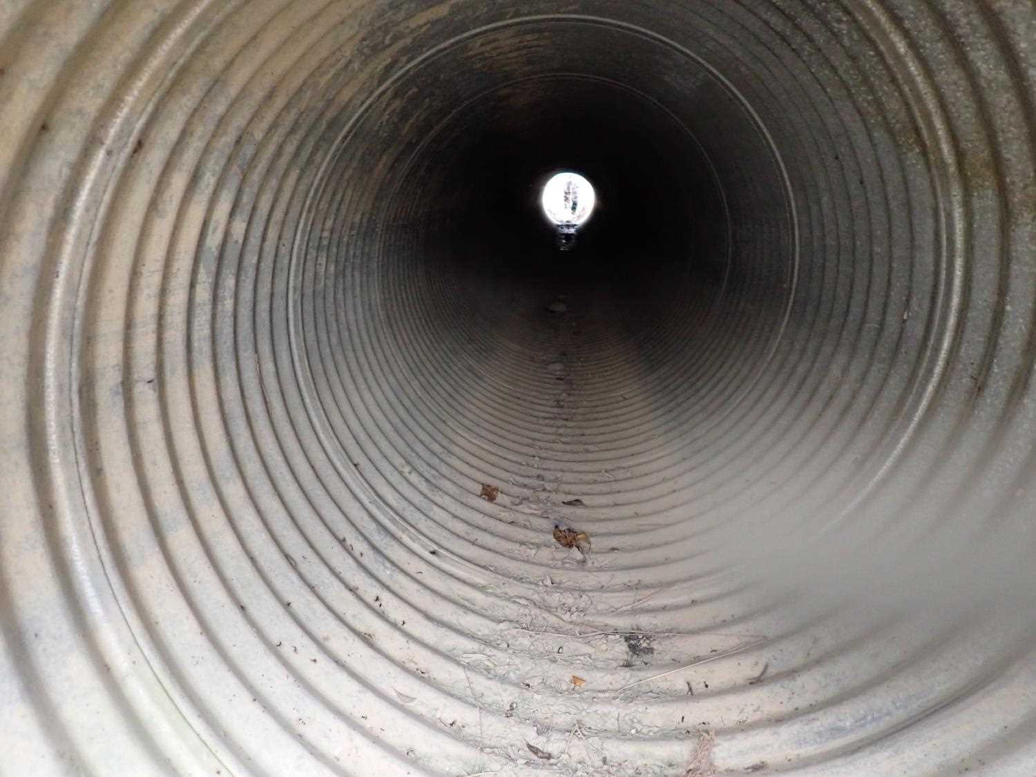
| ID: 1 | Structure Type: Circular pipe (Corrugated steel) | Fish Passage Rating: | ||||||||||||||||||||||||||||||||||||||||||
|
|
|
||||||||||||||||||||||||||||||||||||||||||
Culvert Observations:
|
||||||||||||||||||||||||||||||||||||||||||||
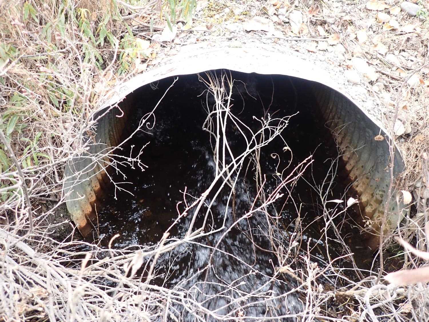
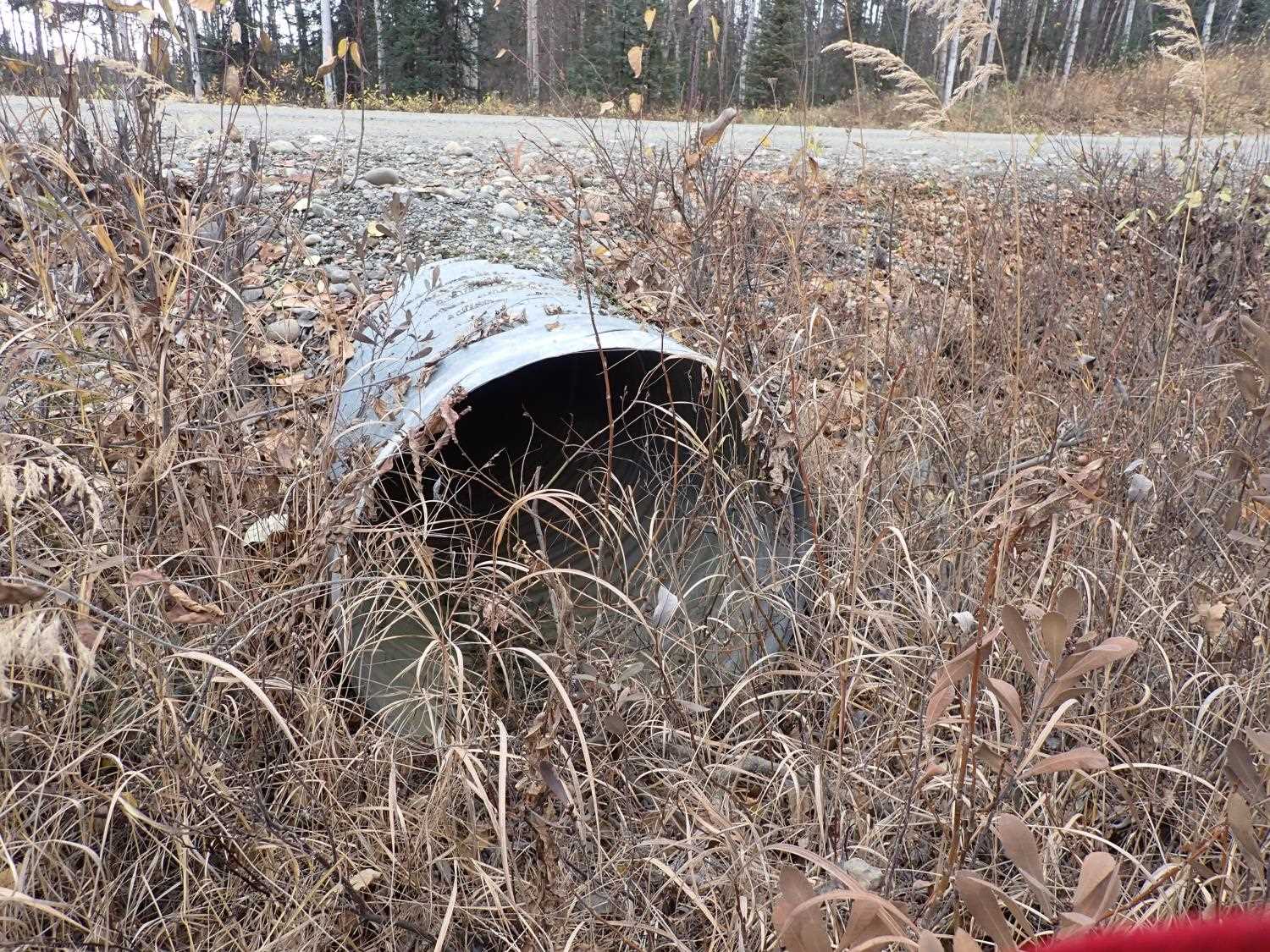
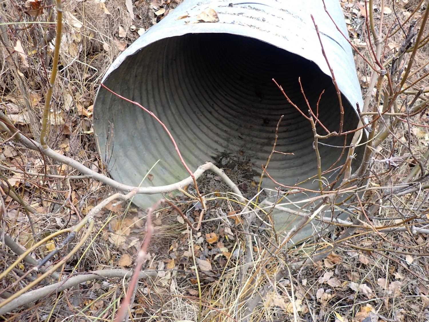
| ID: 2 | Structure Type: Circular pipe (Corrugated steel) | Fish Passage Rating: | ||||||||||||||||||||||||||||||||||||||||||
|
|
|
||||||||||||||||||||||||||||||||||||||||||
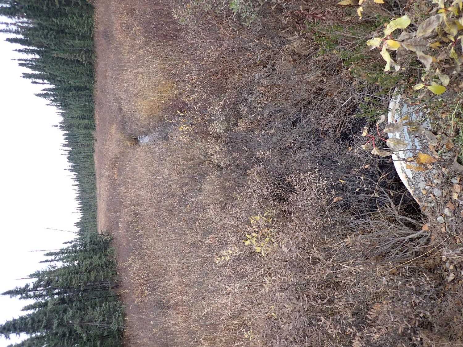
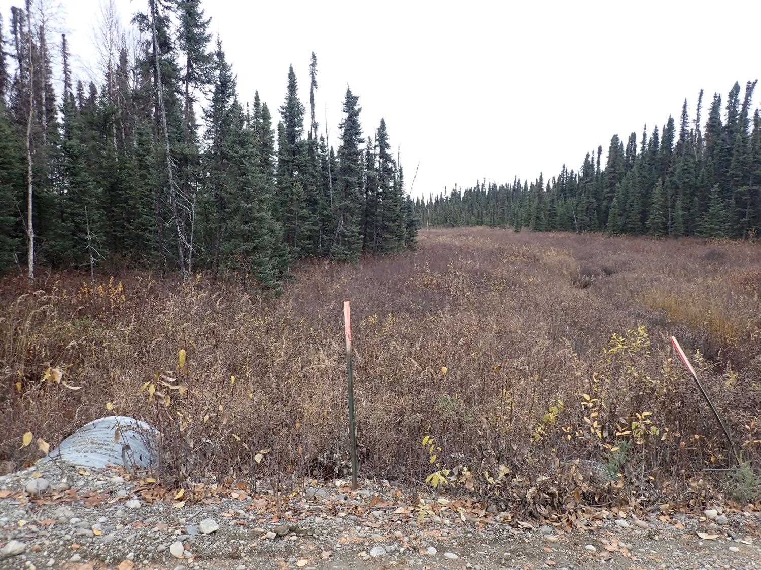
Comments: Culvert # 2 is a drainage pipe, currently no flow through them. There is also no rustline for #2. |
||||||||||||||||||||||||||||||||||||||||||||
Culvert Observations:
|
||||||||||||||||||||||||||||||||||||||||||||
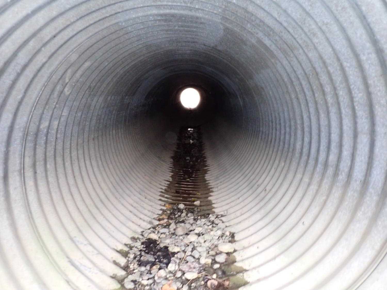
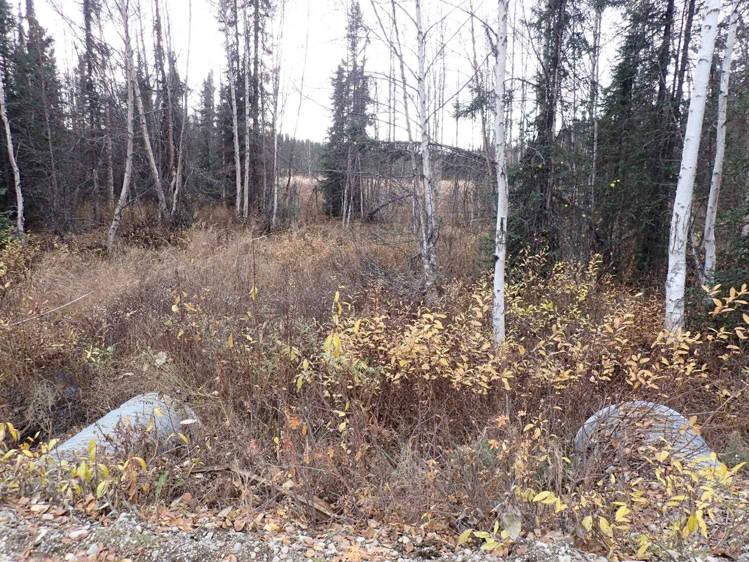
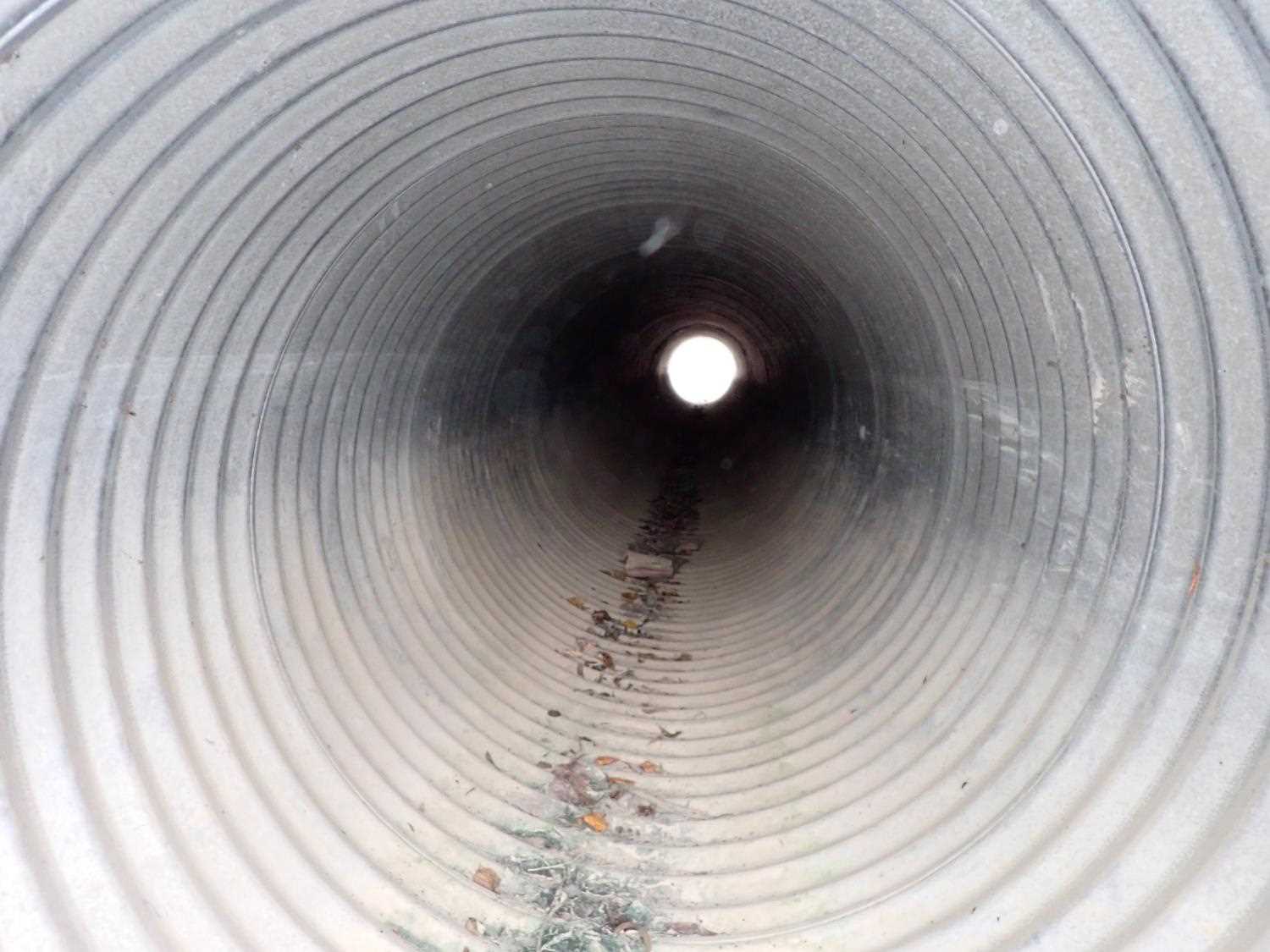
| ID: 3 | Structure Type: Circular pipe (Corrugated steel) | Fish Passage Rating: | ||||||||||||||||||||||||||||||||||||||||||
|
|
|
||||||||||||||||||||||||||||||||||||||||||
Comments: Culvert #3 is a drainage pipe, currently no flow through it. There is no rust line. |
||||||||||||||||||||||||||||||||||||||||||||
Culvert Observations:
|
||||||||||||||||||||||||||||||||||||||||||||
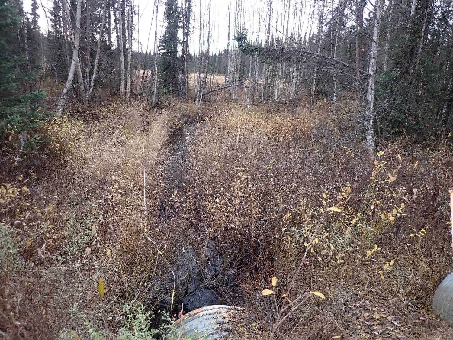
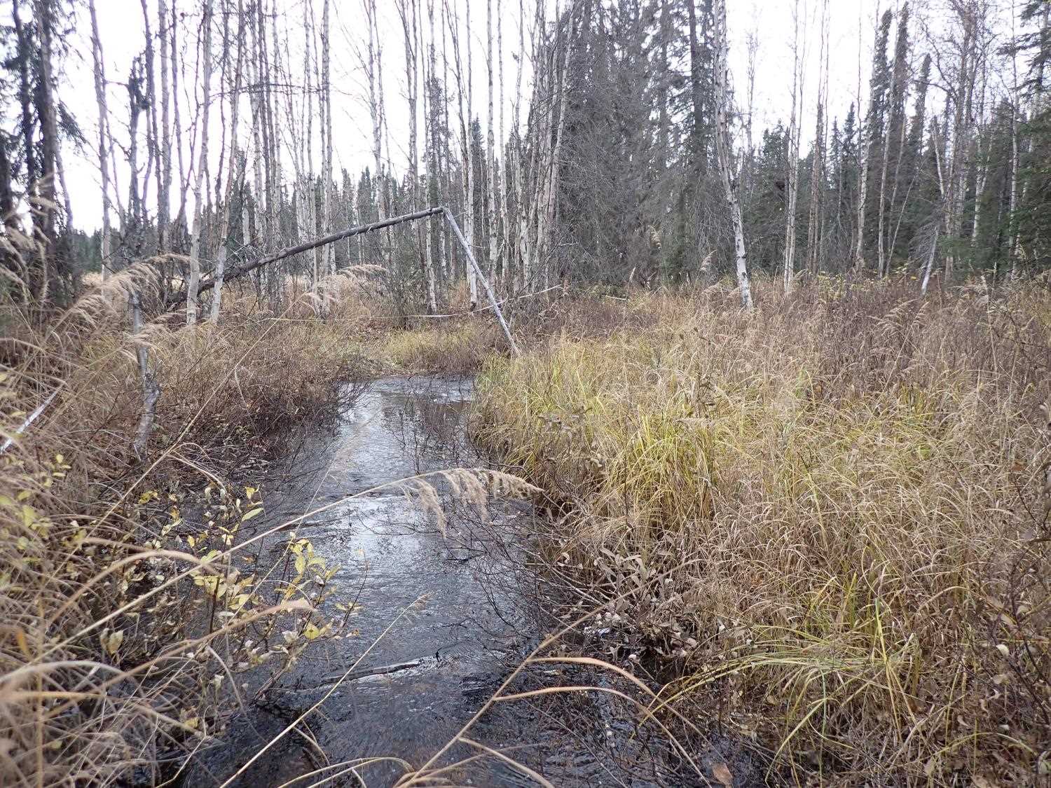
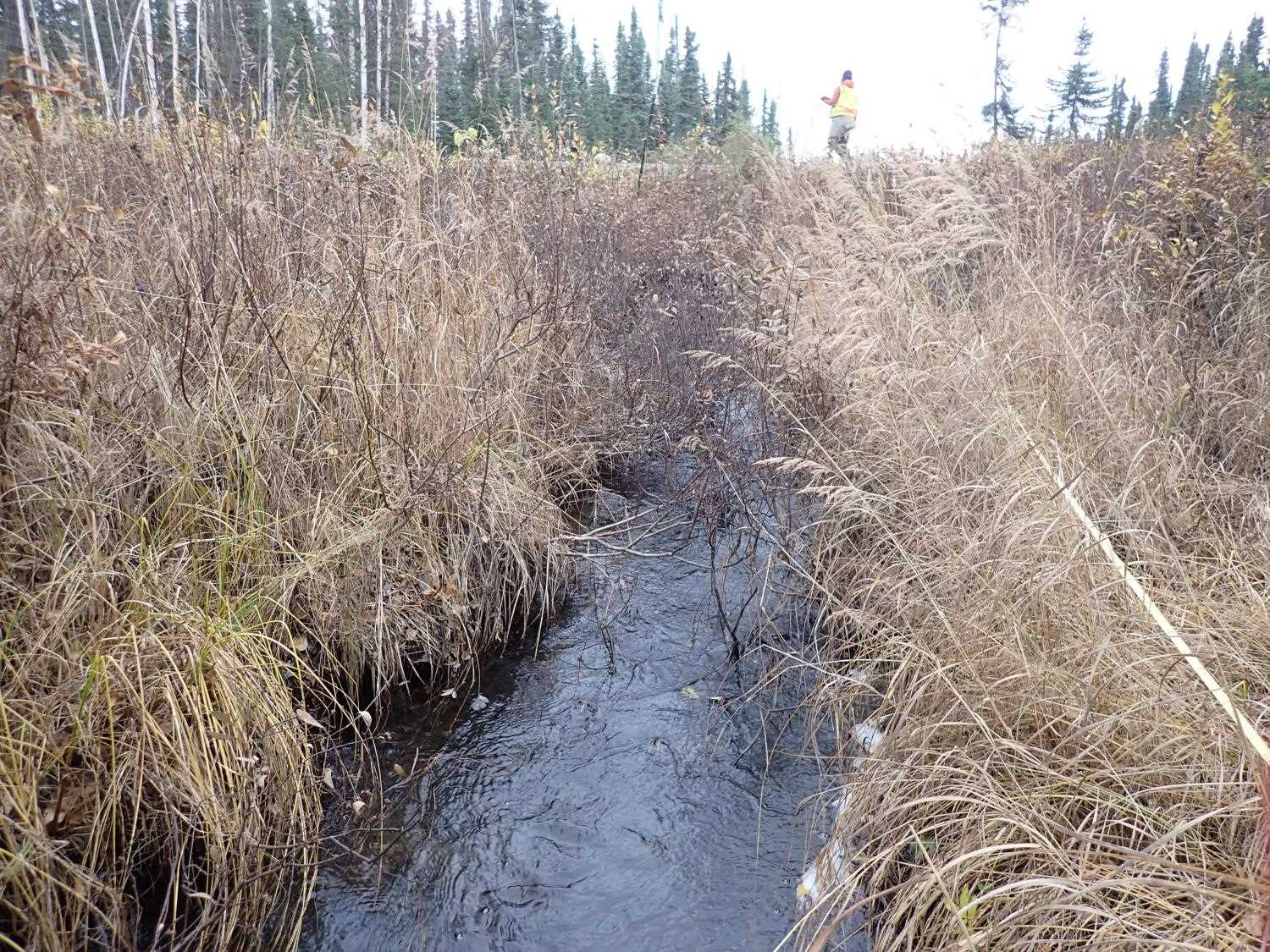
Stream Measurements
|
|
| Stream Width Type | Distance From Crossing (ft) |
Stream Width (ft) |
|---|---|---|
| Upstream ordinary high water | 30.0 | 6.20 |
| Upstream ordinary high water | 59.0 | 8.60 |
| Upstream ordinary high water | 79.0 | 7.70 |
| Upstream ordinary high water | 107.0 | 9.70 |
Elevations
| Locator ID | Culvert Number |
River Distance (ft)1 |
Distance From Crossing (ft)2 |
Relative Elevation (ft) |
|---|---|---|---|---|
| Outlet Invert | 2 | 94.42 | ||
| Inlet Culvert Invert | 2 | 94.68 | ||
| Outlet Invert | 3 | 95.53 | ||
| Outlet Culvert Top | 2 | 97.41 | ||
| Inlet Culvert Top | 2 | 97.57 | ||
| Outlet Culvert Top | 3 | 98.59 | ||
| Inlet Culvert Top | 3 | 99.12 | ||
| Road Elev | 99.63 | |||
| Inlet Culvert Invert | 3 | 96.15 | ||
| D/S Thalweg | 0.00 | 92.10 | ||
| D/S Water Surface Elev | 0.00 | 93.30 | ||
| D/S Water Surface Elev | 60.00 | 93.54 | ||
| D/S Thalweg | 60.00 | 92.66 | ||
| Outlet Invert | 1 | 105.00 | 93.01 | |
| Outlet Culvert Top | 1 | 105.00 | 95.57 | |
| D/S Water Surface Elev | 1 | 105.00 | 93.86 | |
| Inlet Culvert Invert | 1 | 153.66 | 93.55 | |
| Inlet Culvert Top | 1 | 153.66 | 96.56 | |
| U/S Water Surface Elev | 1 | 153.66 | 94.17 | |
| U/S Thalweg | 206.66 | 93.64 | ||
| U/S Water Surface Elev | 206.66 | 94.88 | ||
| U/S Water Surface Elev | 234.66 | 95.04 | ||
| U/S Thalweg | 234.66 | 93.26 | ||
| U/S Water Surface Elev | 262.66 | 95.06 | ||
| U/S Thalweg | 262.66 | 93.94 |
Notes:
- River distance is measured continuously throughout the survey reach along the thalweg of the stream.
- Measured from each end of the crossing along the thalweg of the stream.
Fish Sampling Efforts
No fish sampling occurred during this survey.
Fish Observations
No fish observations occurred during this survey.
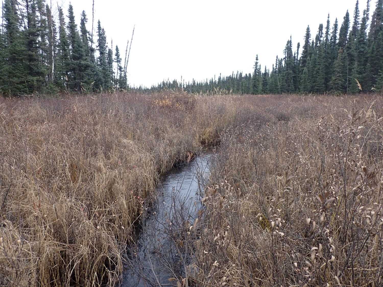
Photos


Questions or comments about this report can be directed to dfg.dsf.webmaster@alaska.gov