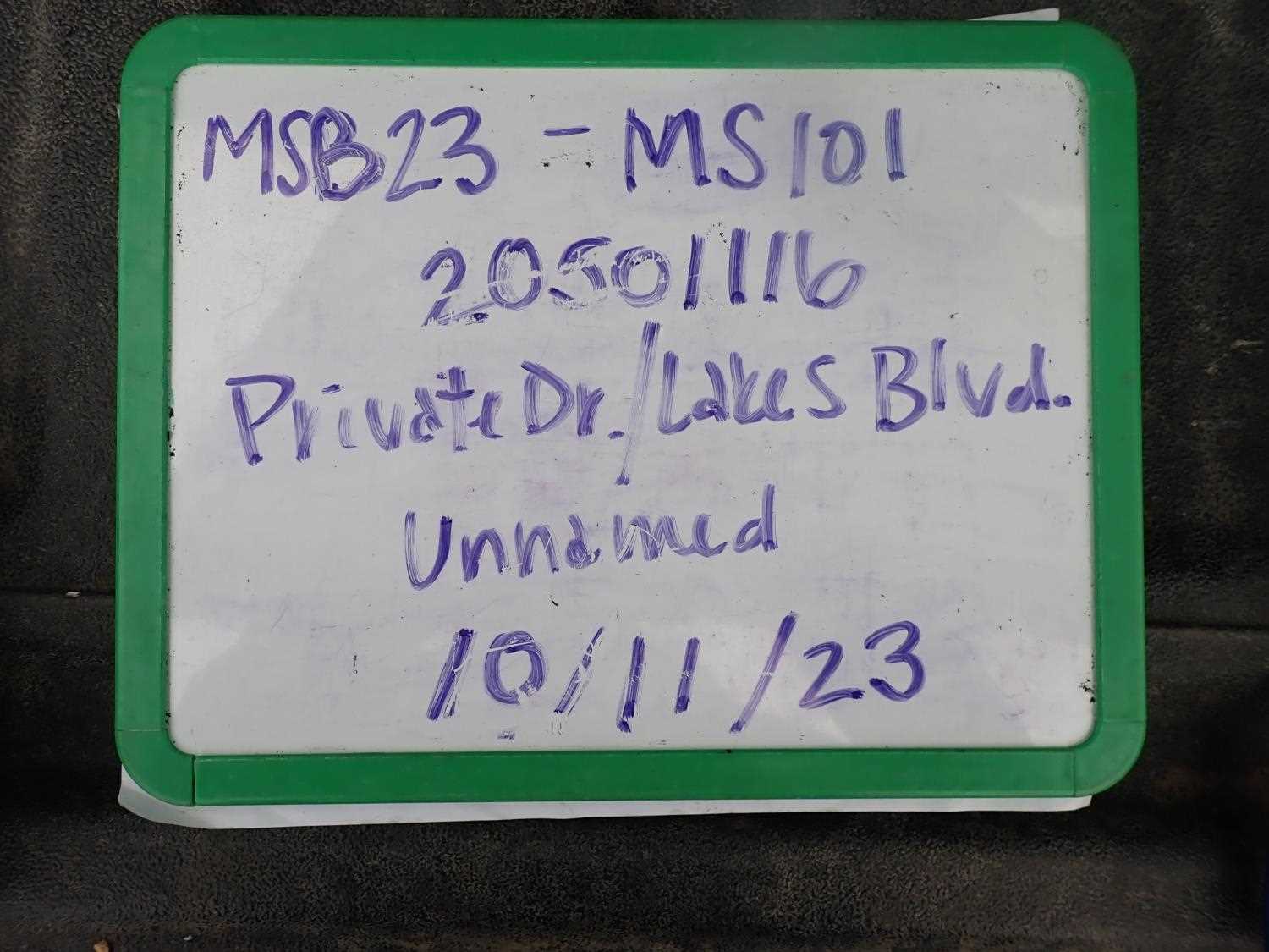
Fish Passage Site 20501116
Coordinates (dec. deg.): 61.54167°, -149.94944°
Legal Description: S017N004W26
Region: South Central
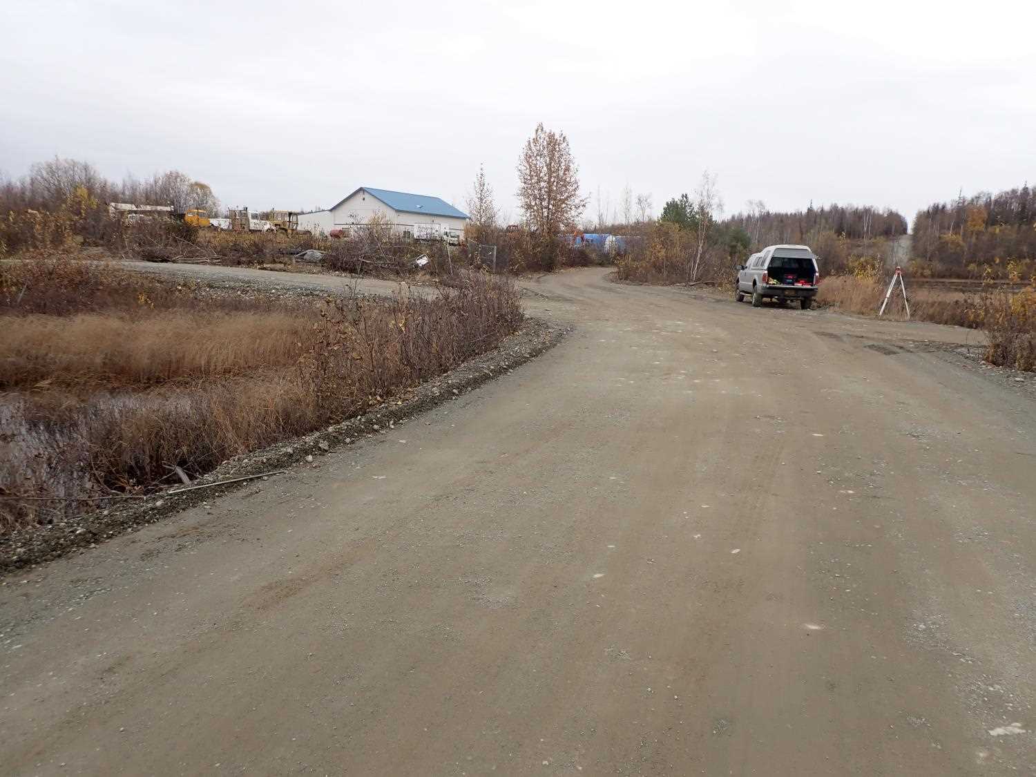
Road Name: Private Drive off Lakes Boulev
Datum: NAD83
Quad Name / ITM: Anchorage C-8
AWC Stream #:
Stream Name: Unnamed
Elevation:
Site Comments: None
arrow to the right of the survey date below to choose a different report for this site.
Survey MSB23-MS101
Project Supervisor: Michael Mazzacavallo, Alaska Department of Fish and Game
— Anchorage, AK
Observers: Michael Mazzacavallo, Kat Leavitt, Beth Evers
Overall Fish Passage Rating:
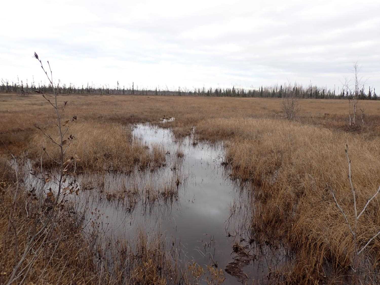
Tidal: No
Backwatered: Yes
Step Pools: No
Construction Year:
Site Observations:
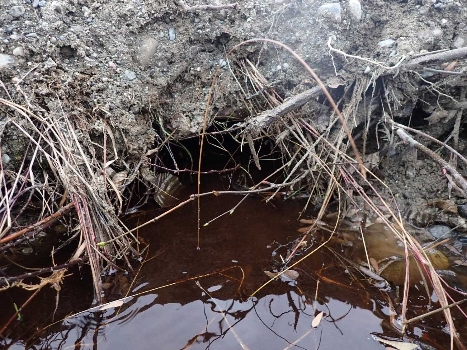
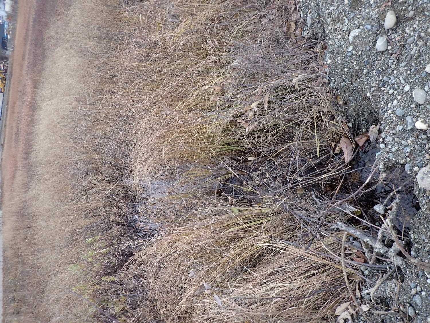
- Road Fill (pushed off road by grader)
- Sediment accumulation
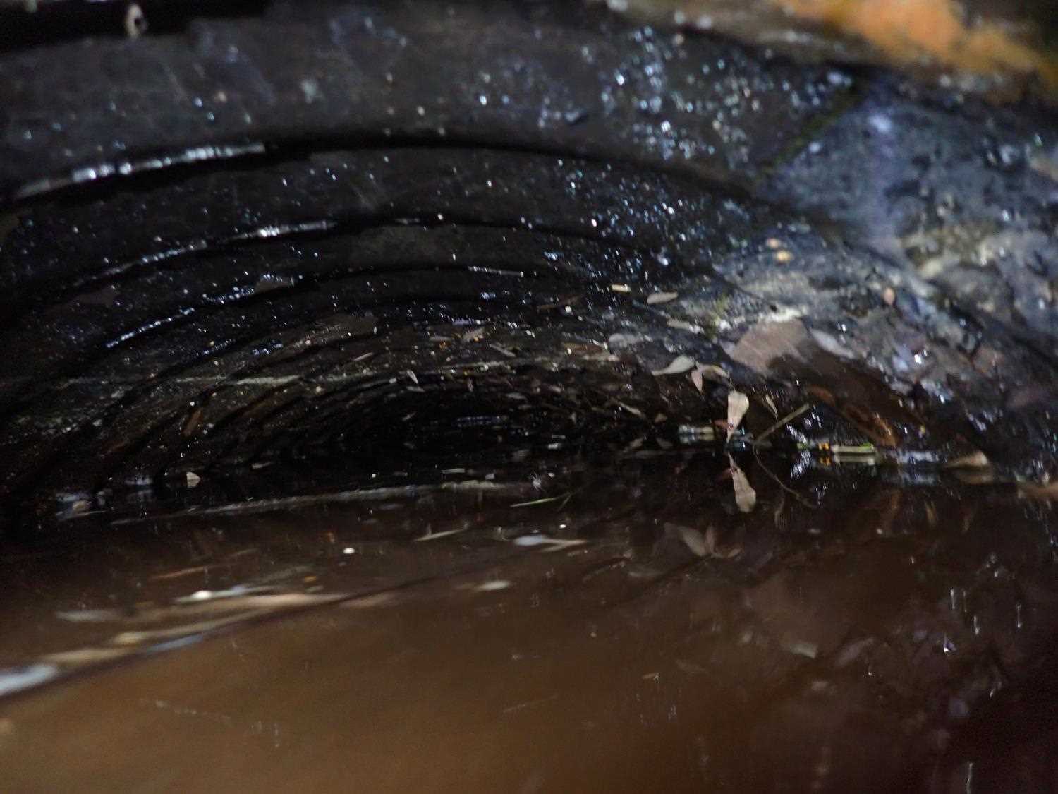
- Culvert gradient red
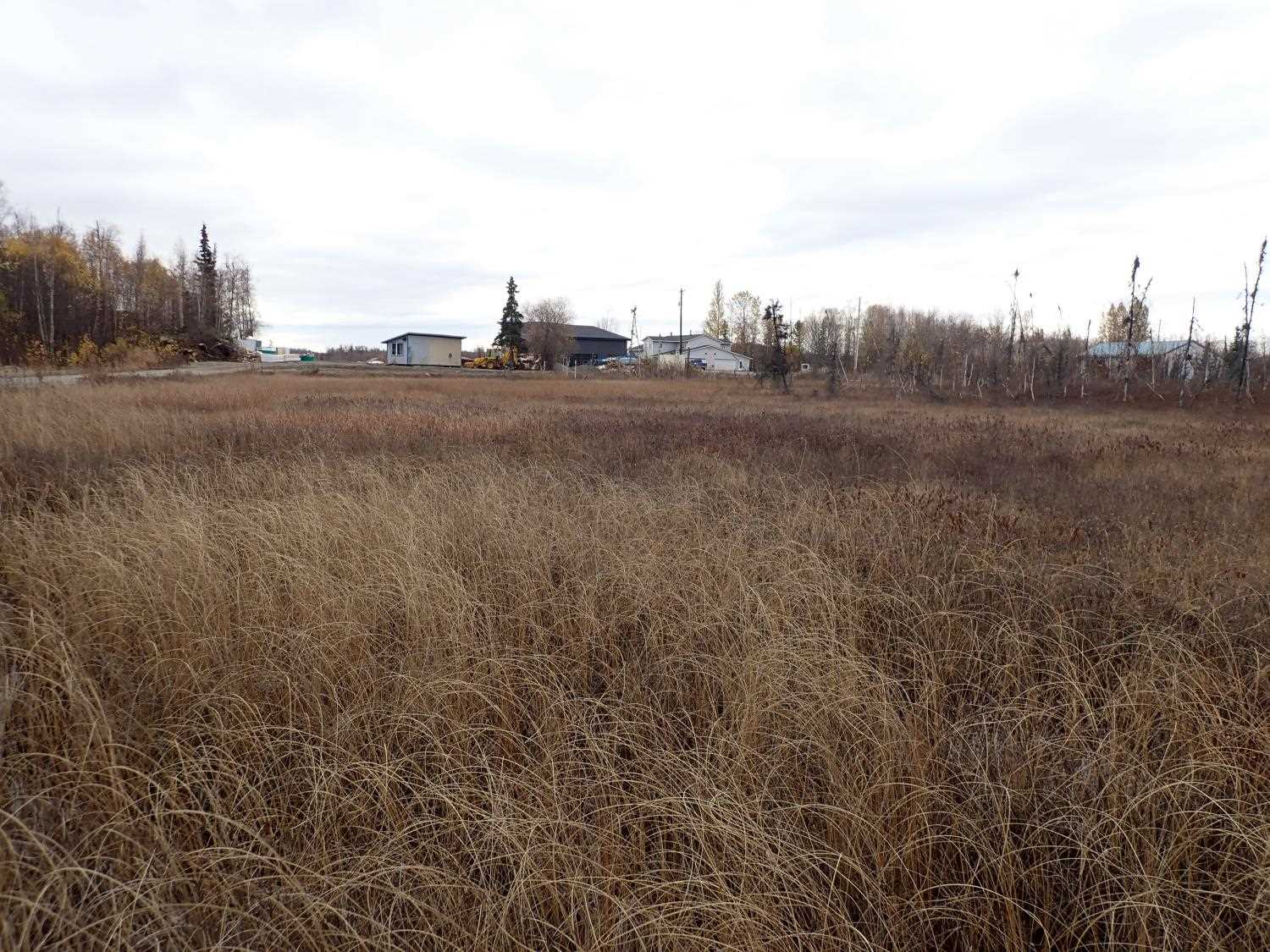
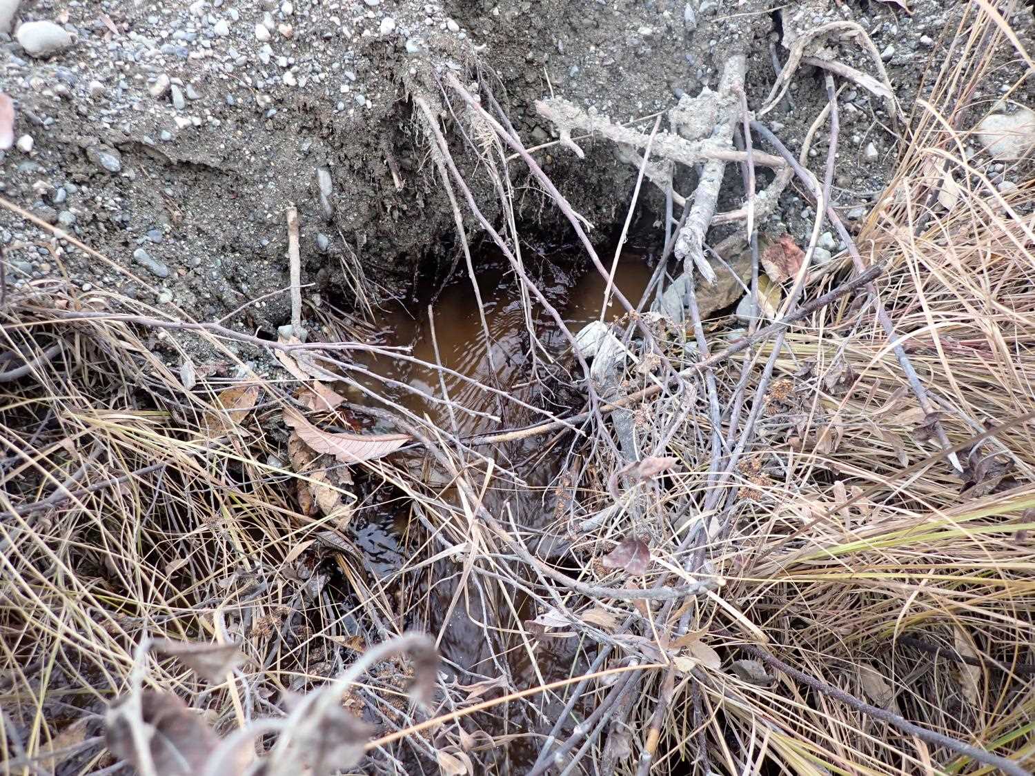
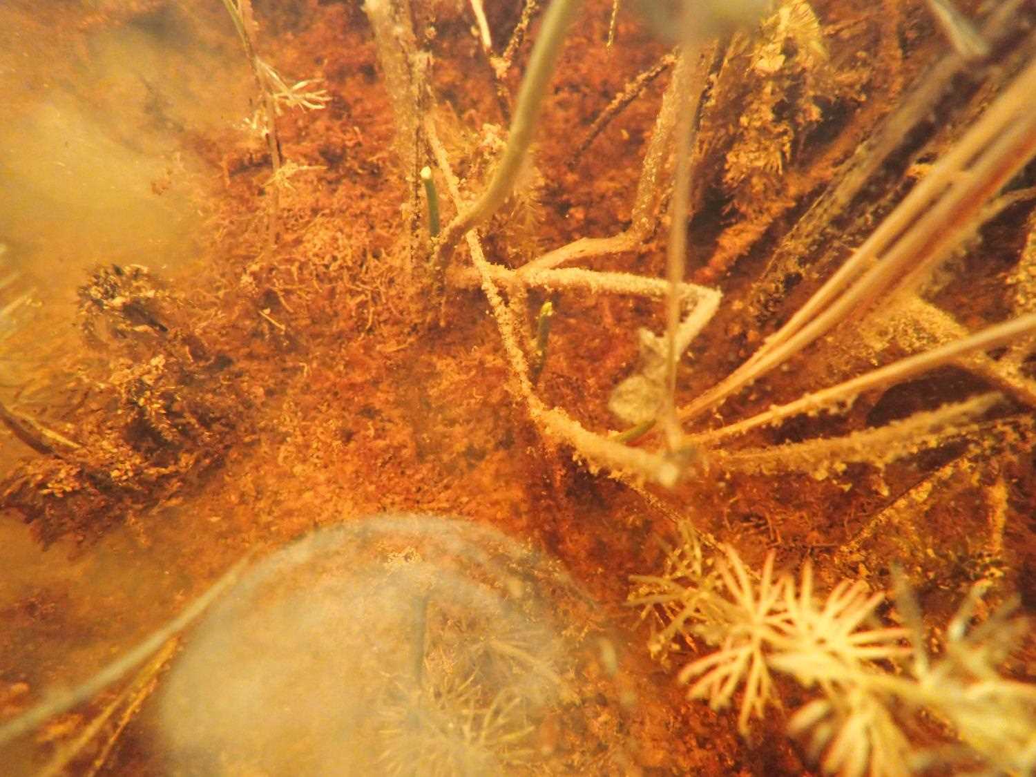
Comments: Culvert is covered by road fill and essentially submerged. Unable to get accurate measurements due to high water level and road fill coverage. Outlet is filled with gravel almost to the top.
Culvert Measurements
| ID: 1 | Structure Type: Circular pipe (Corrugated steel) | Fish Passage Rating: | ||||||||||||||||||||||||||||||||||||||||||
|
|
|
||||||||||||||||||||||||||||||||||||||||||
Comments: Length was taken from mapper, from the 2004 survey. Unable to get corregation depth and width due to water and road fill level. |
||||||||||||||||||||||||||||||||||||||||||||
Culvert Observations:
|
||||||||||||||||||||||||||||||||||||||||||||
Stream Measurements
|
|
No stream width data available.
Elevations
| Locator ID | Culvert Number |
River Distance (ft)1 |
Distance From Crossing (ft)2 |
Relative Elevation (ft) |
|---|---|---|---|---|
| Road Elev | 100.25 | |||
| U/S Water Surface Elev | 0.00 | 98.88 | ||
| Inlet Culvert Top | 30.00 | 99.38 | ||
| U/S Water Surface Elev | 30.00 | 98.88 | ||
| Inlet Culvert Invert | 30.00 | 98.28 | ||
| Outlet Invert | 54.00 | 98.47 | ||
| Outlet Culvert Top | 54.00 | 98.81 | ||
| D/S Water Surface Elev | 54.00 | 98.87 | ||
| D/S Water Surface Elev | 84.00 | 98.47 |
Notes:
- River distance is measured continuously throughout the survey reach along the thalweg of the stream.
- Measured from each end of the crossing along the thalweg of the stream.
Fish Sampling Efforts
No fish sampling occurred during this survey.
Fish Observations
No fish observations occurred during this survey.
Photos
Questions or comments about this report can be directed to dfg.dsf.webmaster@alaska.gov