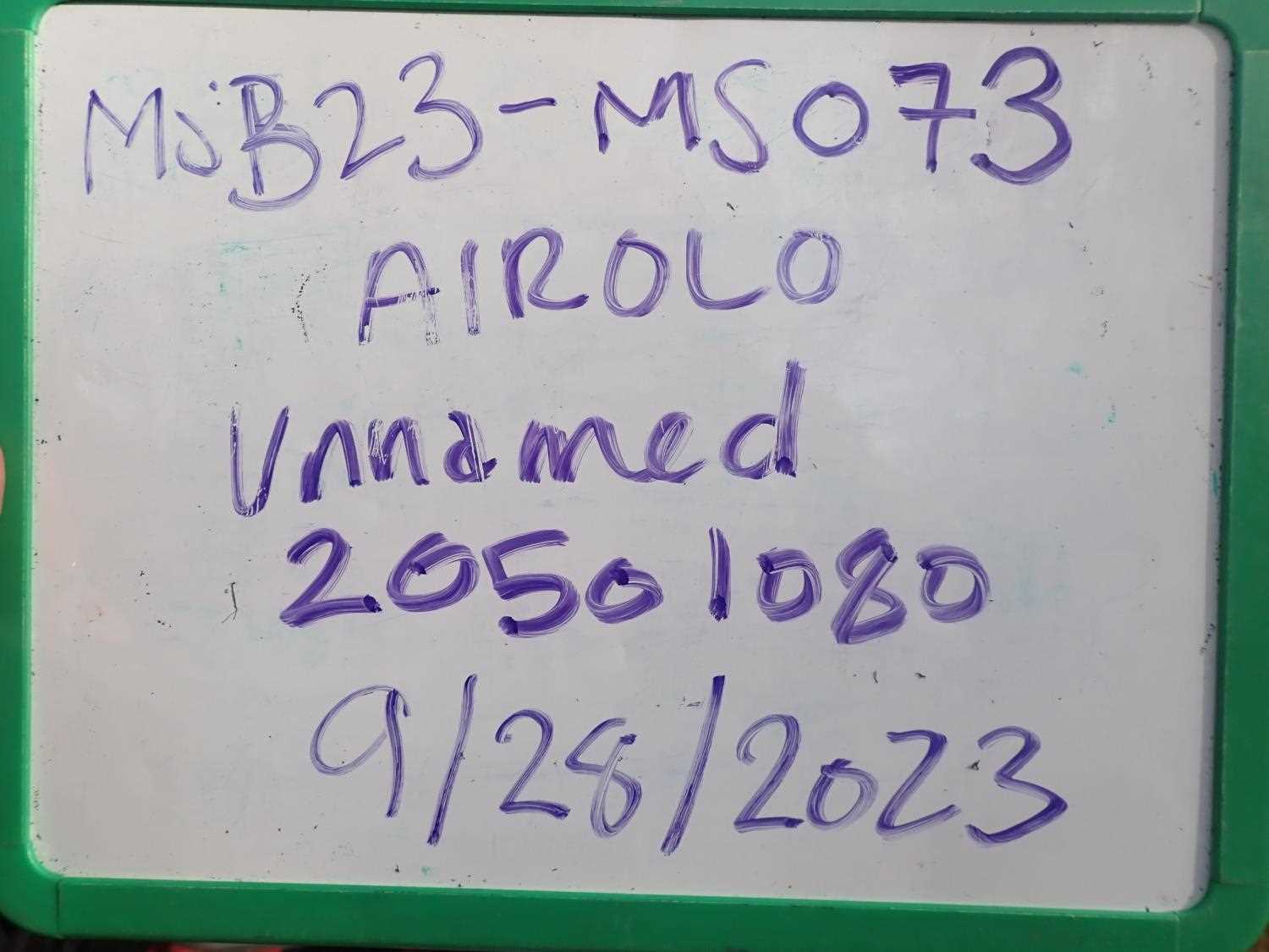
Fish Passage Site 20501080
Coordinates (dec. deg.): 61.58775°, -149.72284°
Legal Description: S017N003W01
Region: South Central
Road Name: Cannon Drive
Datum: NAD83
Quad Name / ITM: Anchorage C-8
AWC Stream #:
Stream Name:
Elevation:
Site Comments: None
arrow to the right of the survey date below to choose a different report for this site.
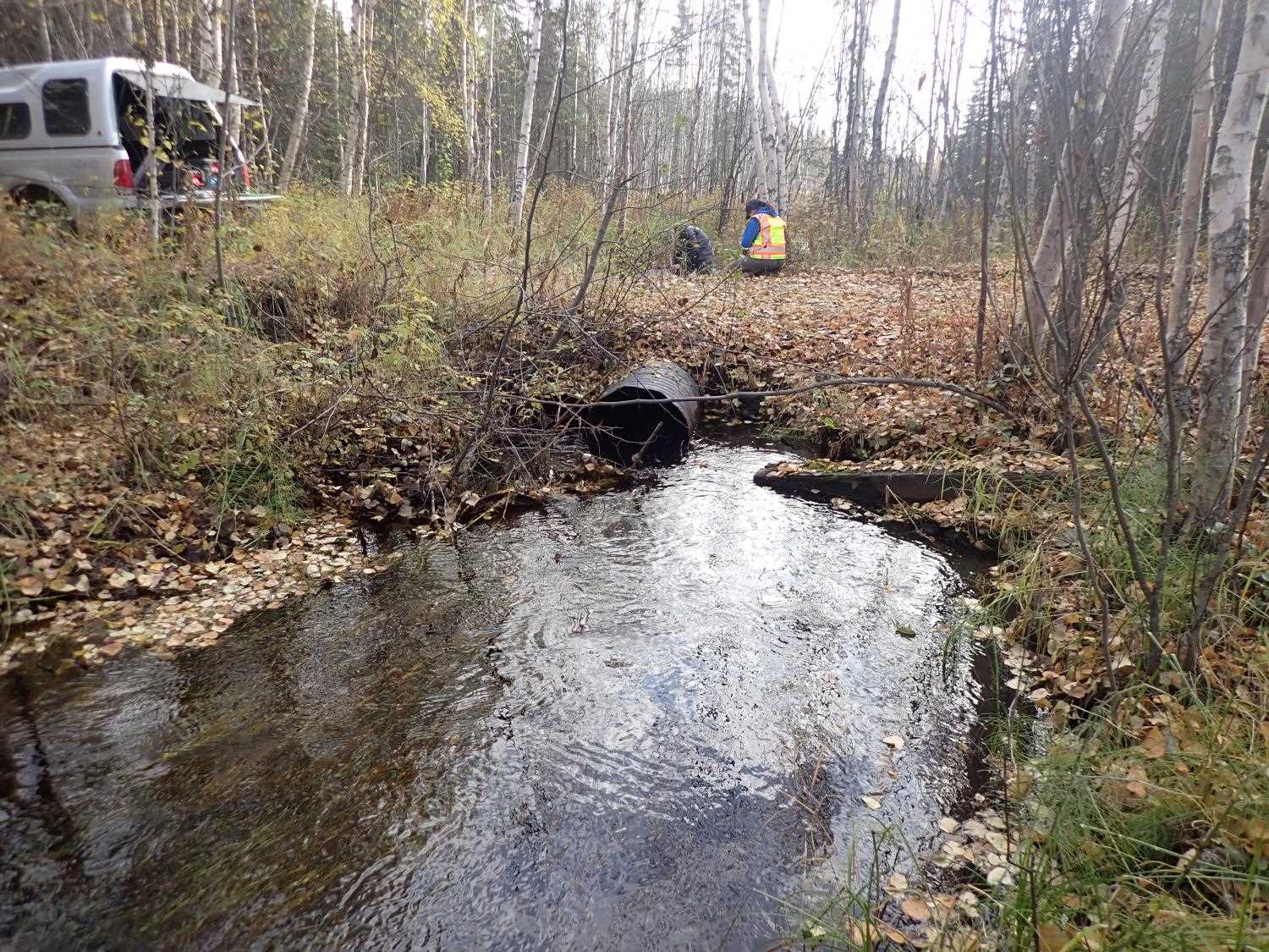
Survey MSB23-MS073
Project Supervisor: Michael Mazzacavallo, Alaska Department of Fish and Game
— Anchorage, AK
Observers: Michael Mazzacavallo, Kat Leavitt, Beth Evers, Amy LaBarre
Overall Fish Passage Rating:
Tidal: No
Backwatered: No
Step Pools: No
Construction Year:
Site Observations:
- Constriction ratio gray
- Outfall height gray
- Compound gradient in pipe
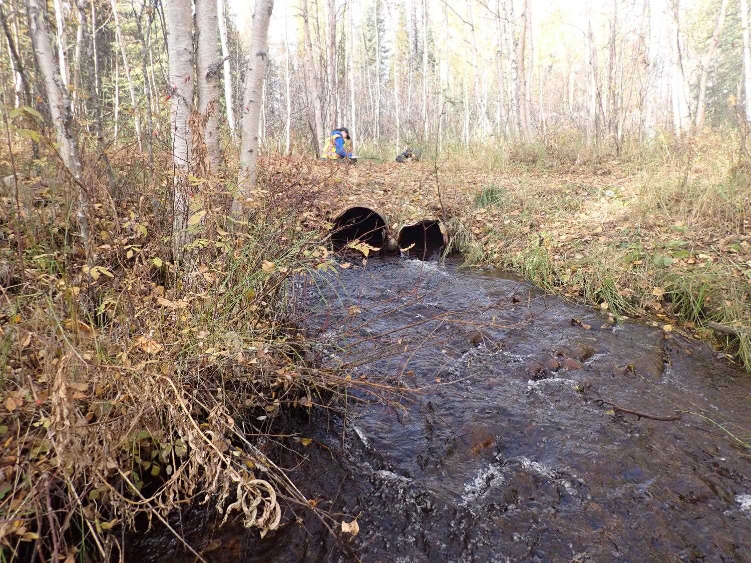
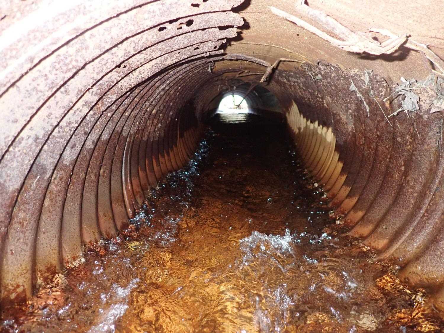
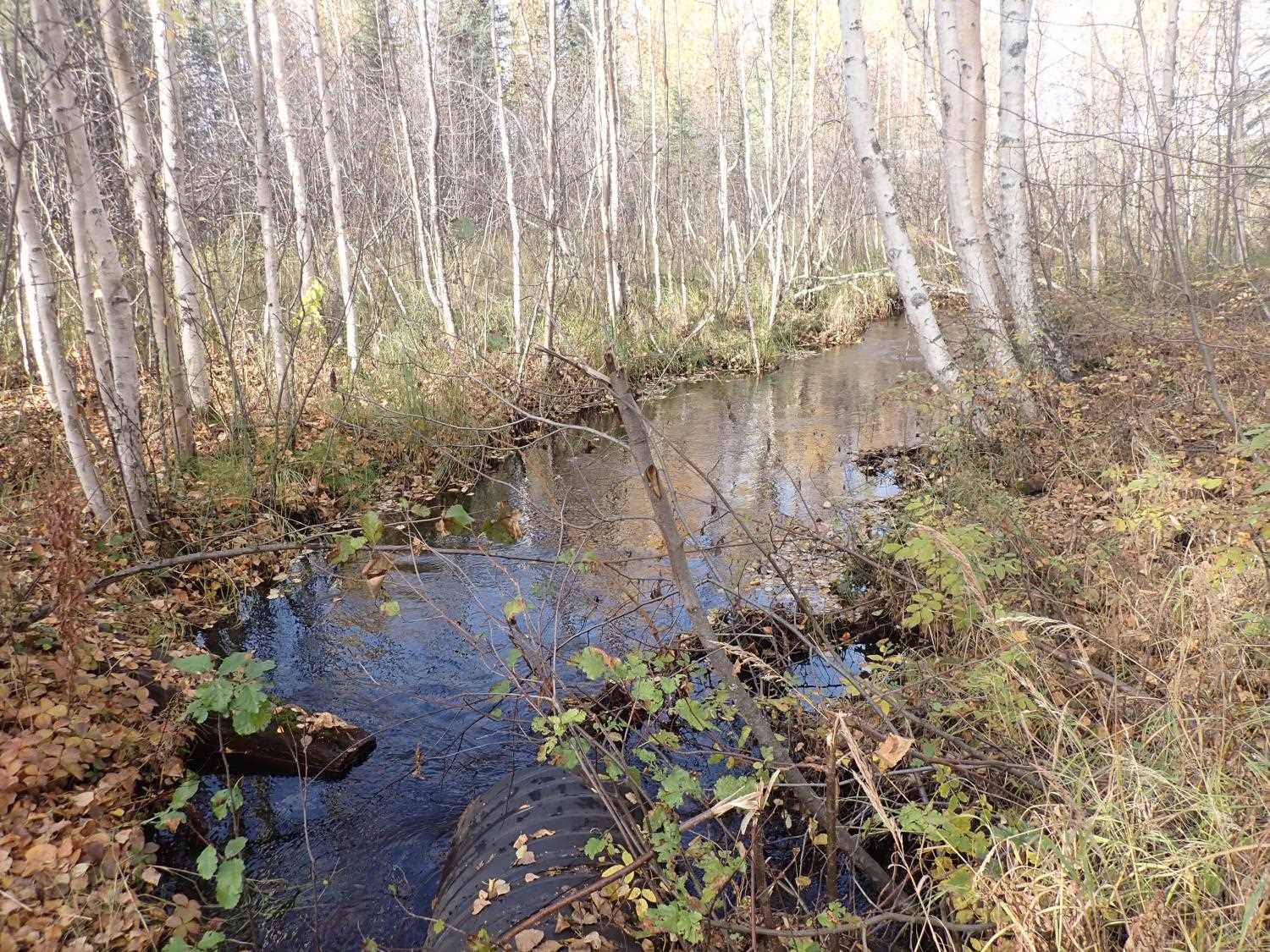
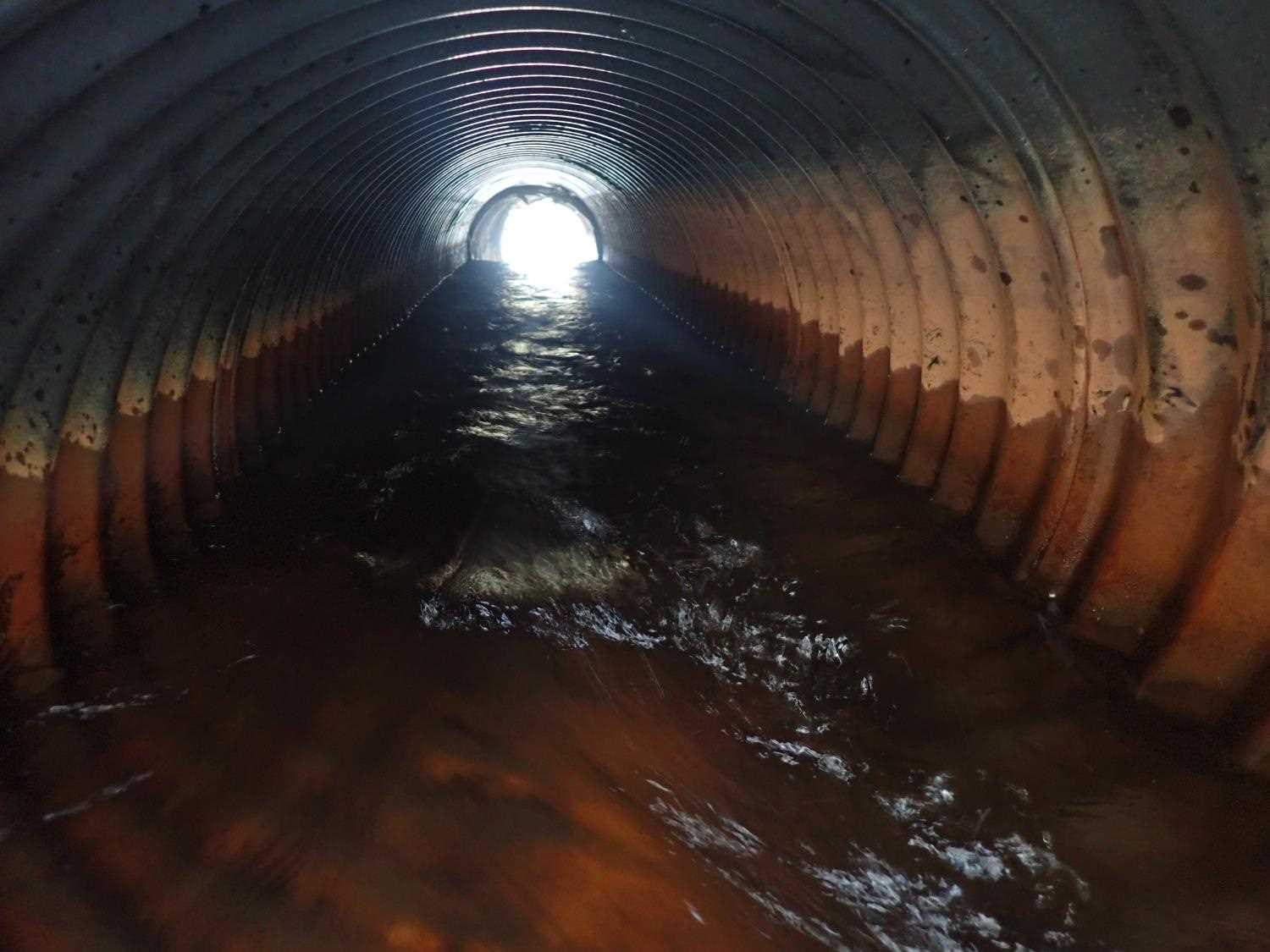
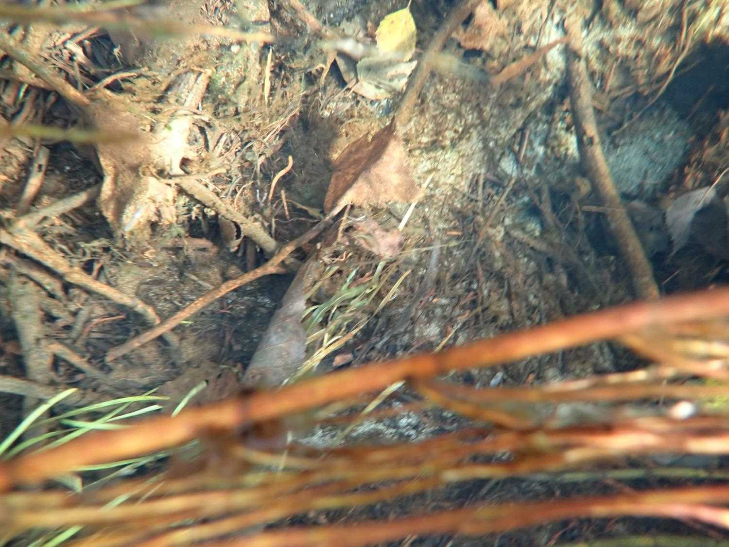
Comments: Both pipes are damaged at the outlet. Inlet side leads to culvert under railroad, railroad culvert is severely perched.
Culvert Measurements
| ID: 1 | Structure Type: Circular pipe (Corrugated steel) | Fish Passage Rating: | ||||||||||||||||||||||||||||||||||||||||||
|
|
|
||||||||||||||||||||||||||||||||||||||||||
Culvert Observations:
|
||||||||||||||||||||||||||||||||||||||||||||
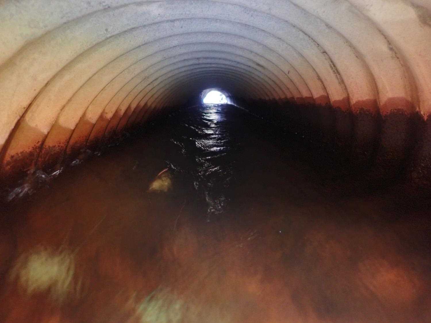
| ID: 2 | Structure Type: Circular pipe (Corrugated steel) | Fish Passage Rating: | ||||||||||||||||||||||||||||||||||||||||||
|
|
|
||||||||||||||||||||||||||||||||||||||||||
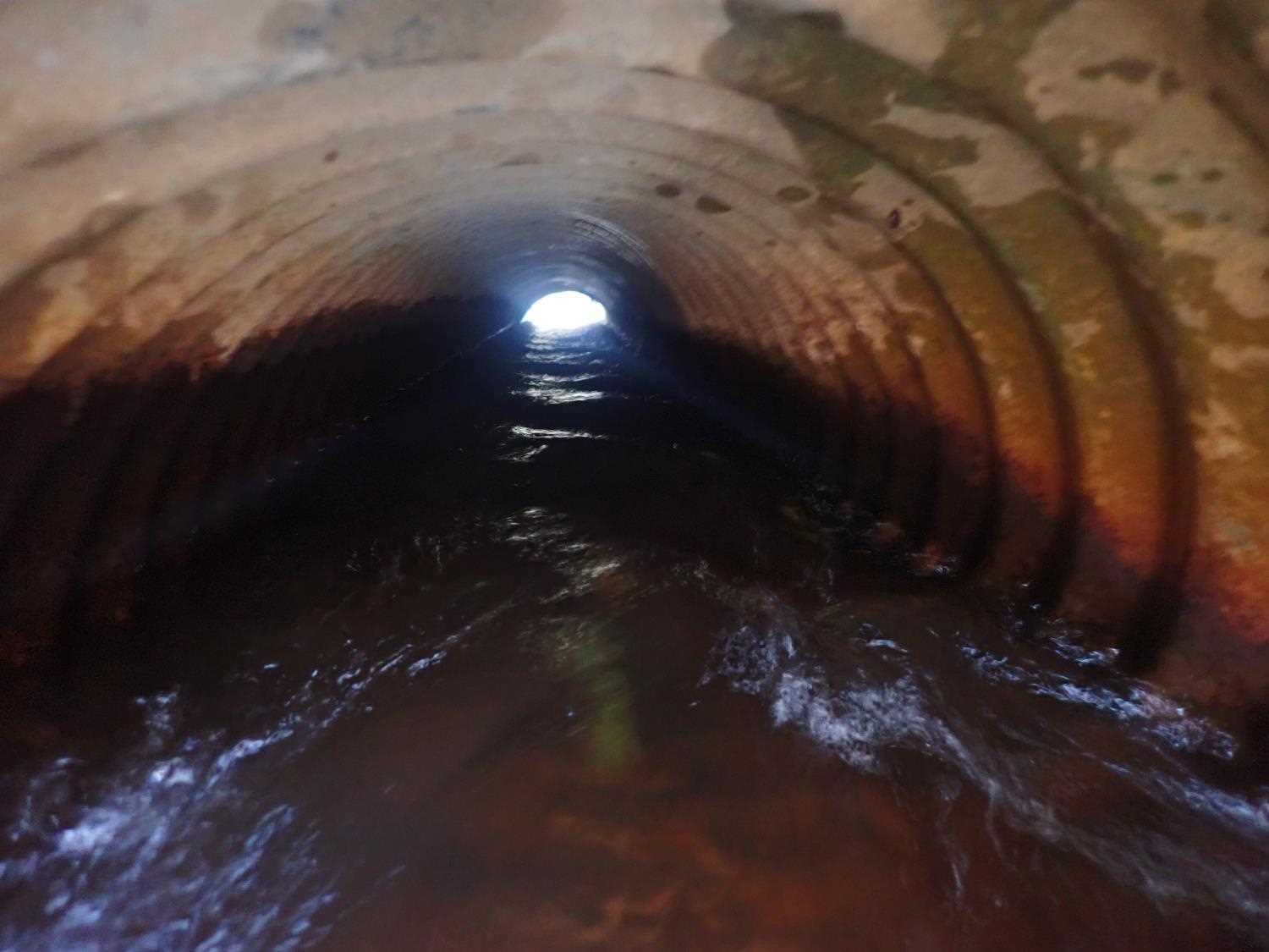
Comments: Culvert #2 is inlet is perched. Drop in gradient in #2 inlet (within pipe). Culvert #2 is 2 pipes put together (new fitted with old). |
||||||||||||||||||||||||||||||||||||||||||||
Culvert Observations:
|
||||||||||||||||||||||||||||||||||||||||||||
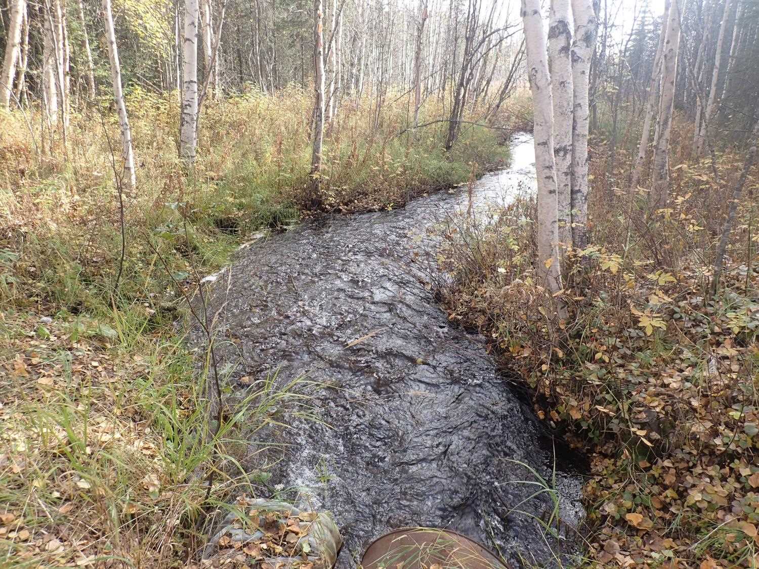
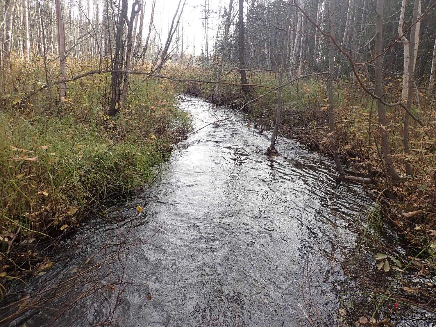
Stream Measurements
|
|
| Stream Width Type | Distance From Crossing (ft) |
Stream Width (ft) |
|---|---|---|
| Downstream ordinary high water | 43.0 | 11.70 |
| Downstream ordinary high water | 65.0 | 7.40 |
| Downstream ordinary high water | 80.0 | 5.90 |
Elevations
| Locator ID | Culvert Number |
River Distance (ft)1 |
Distance From Crossing (ft)2 |
Relative Elevation (ft) |
|---|---|---|---|---|
| D/S Thalweg | 0.00 | 92.92 | ||
| D/S Water Surface Elev | 0.00 | 94.64 | ||
| D/S Water Surface Elev | 60.00 | 95.02 | ||
| D/S Thalweg | 60.00 | 94.46 | ||
| Max Pool Depth | 98.00 | 94.68 | ||
| D/S Water Surface Elev (Outlet pool water surface) | 98.00 | 95.57 | ||
| D/S Water Surface Elev | 2 | 100.00 | 95.67 | |
| D/S Water Surface Elev | 1 | 100.00 | 95.79 | |
| Top of Pipe Outlet | 1 | 100.00 | 96.72 | |
| Outlet Invert | 2 | 100.00 | 95.13 | |
| Outlet Invert | 1 | 100.00 | 95.28 | |
| Outlet Culvert Top | 2 | 100.00 | 97.07 | |
| Inlet Culvert Top | 1 | 120.39 | 96.81 | |
| U/S Water Surface Elev | 1 | 121.59 | 96.19 | |
| Inlet Culvert Invert | 1 | 121.59 | 95.29 | |
| Inlet Culvert Invert | 2 | 122.37 | 95.26 | |
| U/S Water Surface Elev | 2 | 122.37 | 96.29 | |
| Inlet Culvert Top | 2 | 122.37 | 97.27 | |
| U/S Water Surface Elev | 126.37 | 96.25 | ||
| U/S Thalweg | 126.37 | 94.27 | ||
| U/S Thalweg | 222.37 | 94.86 | ||
| U/S Water Surface Elev | 222.37 | 96.39 |
Notes:
- River distance is measured continuously throughout the survey reach along the thalweg of the stream.
- Measured from each end of the crossing along the thalweg of the stream.
Fish Sampling Efforts
No fish sampling occurred during this survey.
Fish Observations
No fish observations occurred during this survey.
Photos

Questions or comments about this report can be directed to dfg.dsf.webmaster@alaska.gov