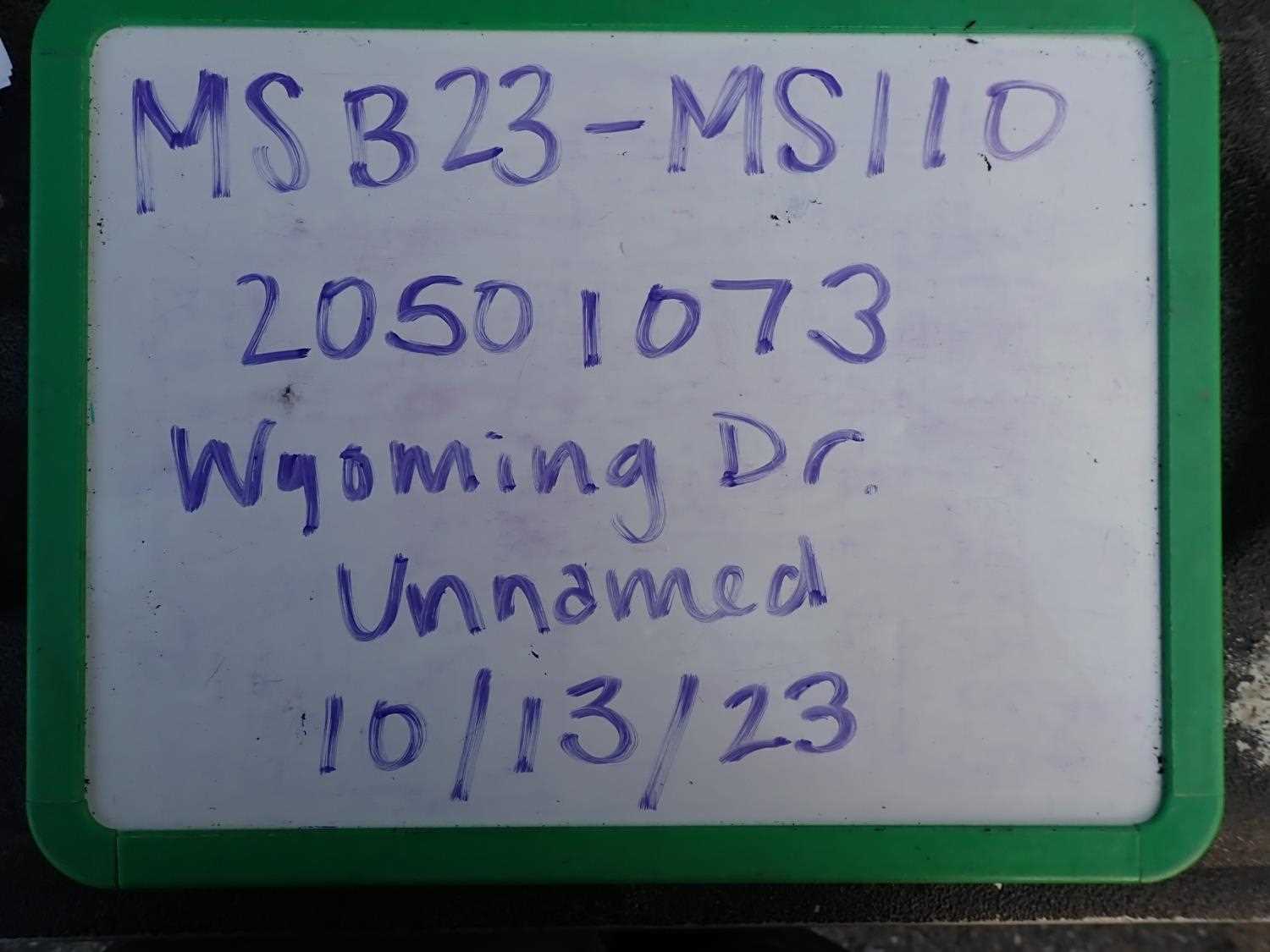
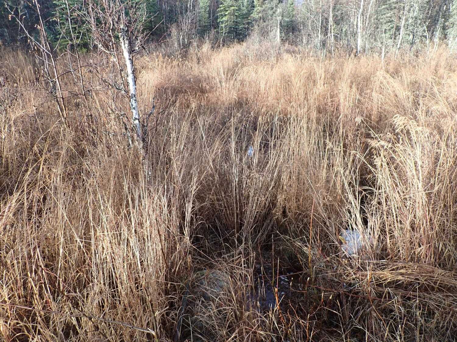
Fish Passage Site 20501073
Coordinates (dec. deg.): 61.62543°, -149.58675°
Legal Description: S018N002W26
Region: South Central
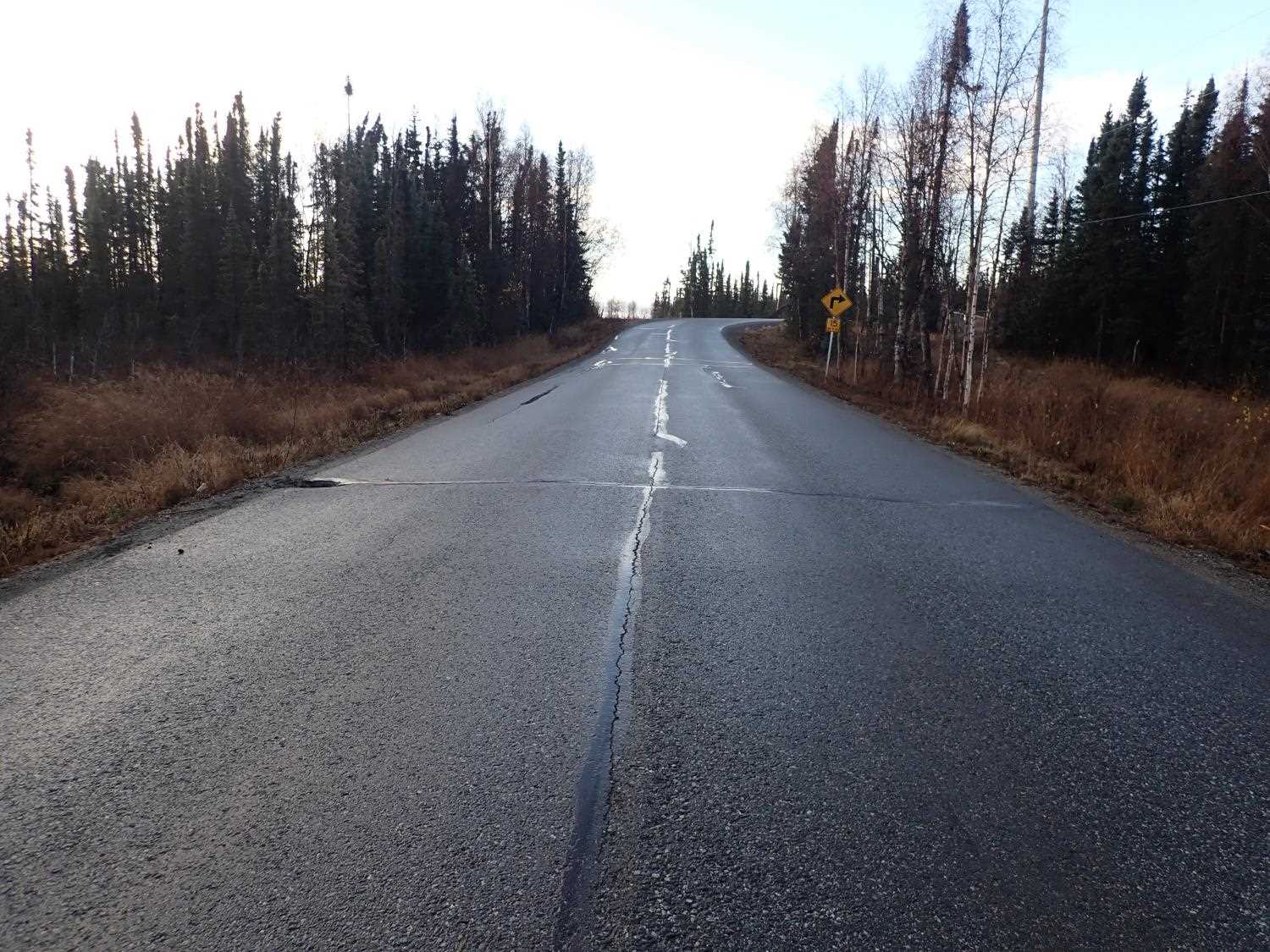
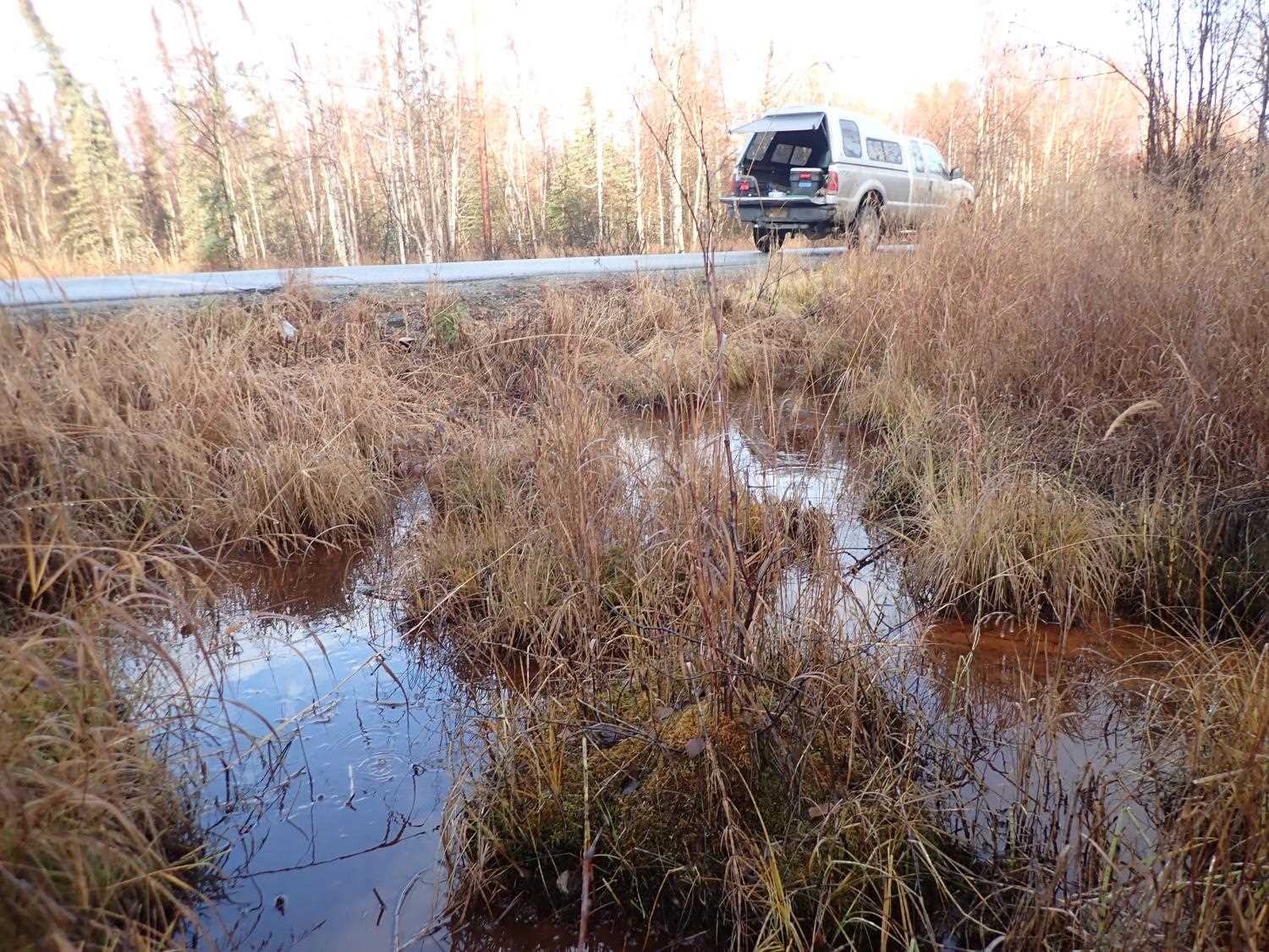
Road Name: Wyoming Drive
Datum: NAD83
Quad Name / ITM: Anchorage C-7
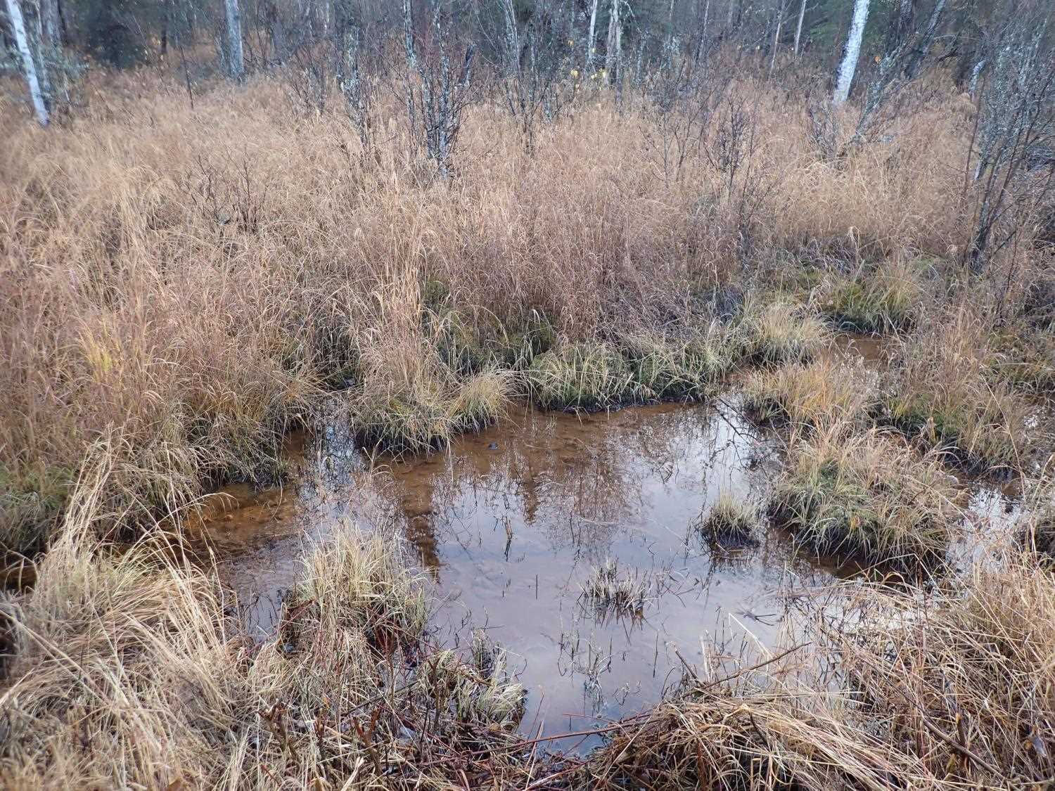
AWC Stream #:
Stream Name: Unnamed
Elevation:
Site Comments: None
arrow to the right of the survey date below to choose a different report for this site.
Survey MSB23-MS110
Project Supervisor: Michael Mazzacavallo, Alaska Department of Fish and Game
— Anchorage, AK
Observers: Michael Mazzacavallo, Kat Leavitt, Beth Evers
Overall Fish Passage Rating:
Tidal: No
Backwatered: No
Step Pools: No
Construction Year:
Site Observations:
- Woody Debris
- Other, including vibrations, cavitation, etc.
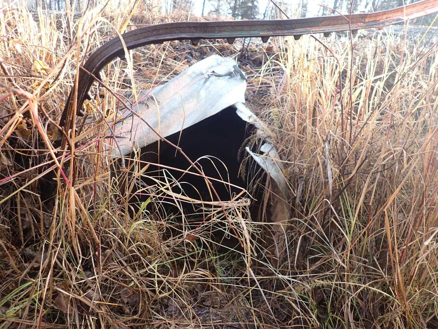
- Road Fill (pushed off road by grader)
Comments: None
Culvert Measurements
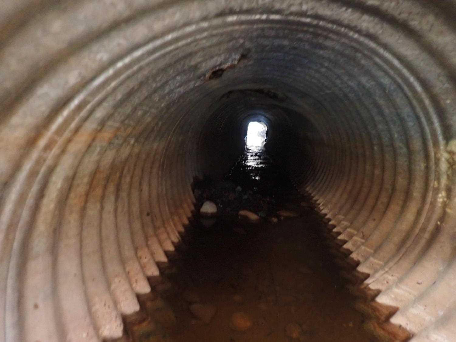
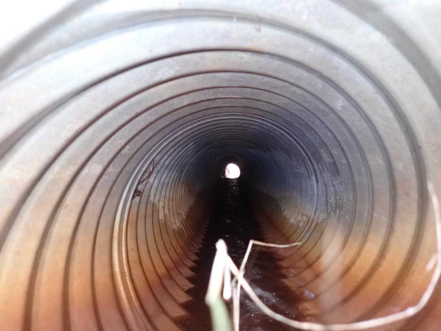
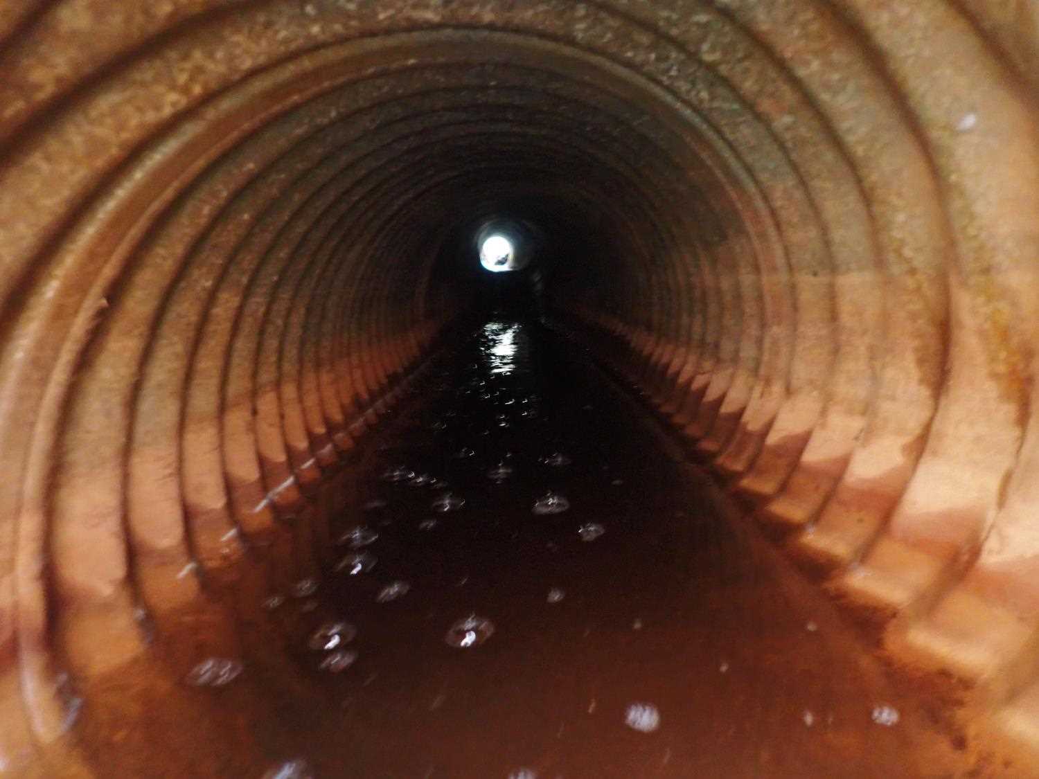
| ID: 1 | Structure Type: Circular pipe (Corrugated steel) | Fish Passage Rating: | ||||||||||||||||||||||||||||||||||||||||||
|
|
|
||||||||||||||||||||||||||||||||||||||||||
Comments: Culvert#1 outlet is damaged to top/ in pieces. Water depth for #1 is not applicable due to lack of water. Vegetation overgrown at inlet. |
||||||||||||||||||||||||||||||||||||||||||||
Culvert Observations:
|
||||||||||||||||||||||||||||||||||||||||||||
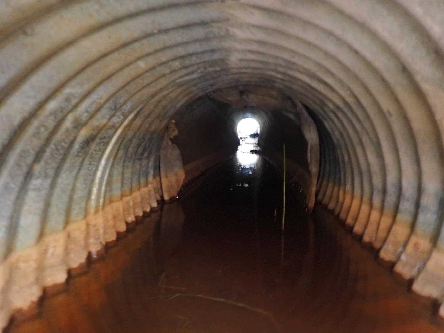
| ID: 2 | Structure Type: Circular pipe (Corrugated steel) | Fish Passage Rating: | ||||||||||||||||||||||||||||||||||||||||||
|
|
|
||||||||||||||||||||||||||||||||||||||||||
Comments: Vegetation is overgrown at inlet side. Inlet hieght, was able to take measurements of full height despite substrate presence. Road fill pushed on top of inlet pipes, almost covering inlet. |
||||||||||||||||||||||||||||||||||||||||||||
Culvert Observations:
|
||||||||||||||||||||||||||||||||||||||||||||
Stream Measurements
|
|
No stream width data available.
Elevations
| Locator ID | Culvert Number |
River Distance (ft)1 |
Distance From Crossing (ft)2 |
Relative Elevation (ft) |
|---|---|---|---|---|
| U/S Water Surface Elev | 0.00 | 98.06 | ||
| U/S Water Surface Elev | 19.00 | 98.06 | ||
| U/S Thalweg | 19.00 | 97.39 | ||
| U/S Water Surface Elev | 2 | 20.00 | 97.80 | |
| Inlet Culvert Invert | 2 | 20.00 | 97.92 | |
| Inlet Culvert Invert | 1 | 20.00 | 98.02 | |
| Top of Pipe Inlet | 2 | 20.00 | 98.84 | |
| Inlet Culvert Top | 1 | 20.00 | 99.40 | |
| Outlet Culvert Top | 1 | 52.02 | 98.63 | |
| Outlet Invert | 1 | 53.42 | 96.93 | |
| D/S Water Surface Elev (Culvert water surface) | 2 | 59.82 | 96.40 | |
| Outlet Invert | 2 | 59.82 | 95.92 | |
| Outlet Culvert Top | 2 | 59.82 | 97.50 | |
| D/S Water Surface Elev | 99.82 | 96.09 |
Notes:
- River distance is measured continuously throughout the survey reach along the thalweg of the stream.
- Measured from each end of the crossing along the thalweg of the stream.
Fish Sampling Efforts
No fish sampling occurred during this survey.
Fish Observations
No fish observations occurred during this survey.
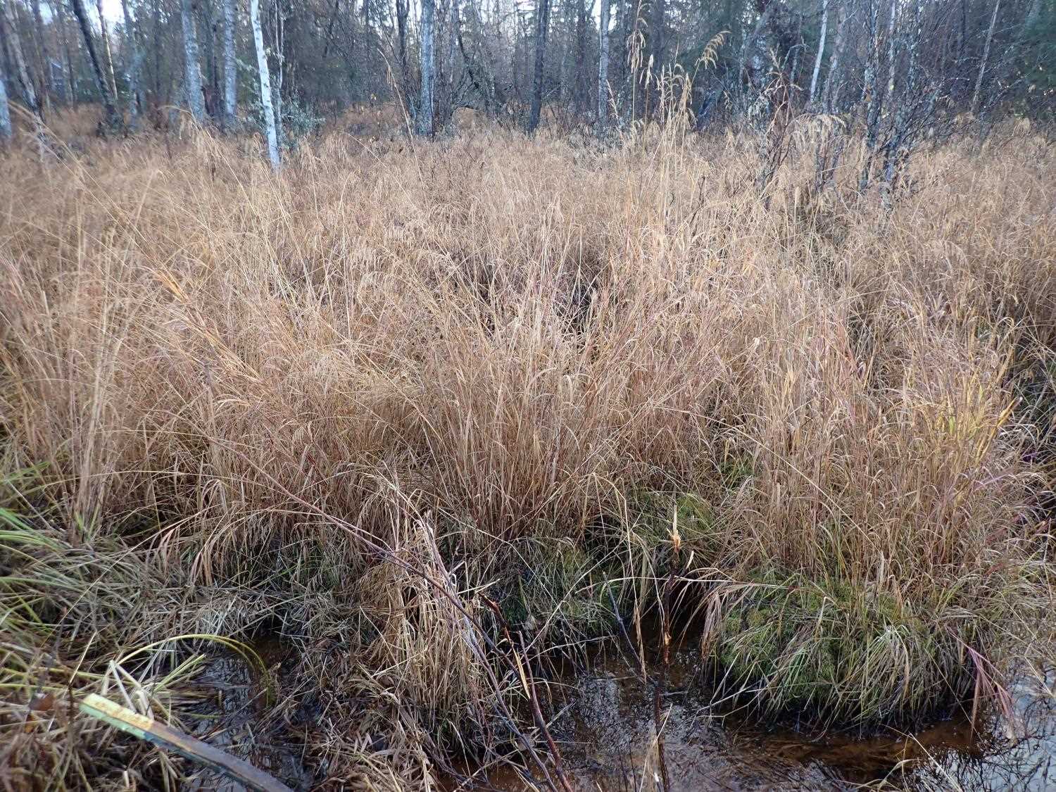
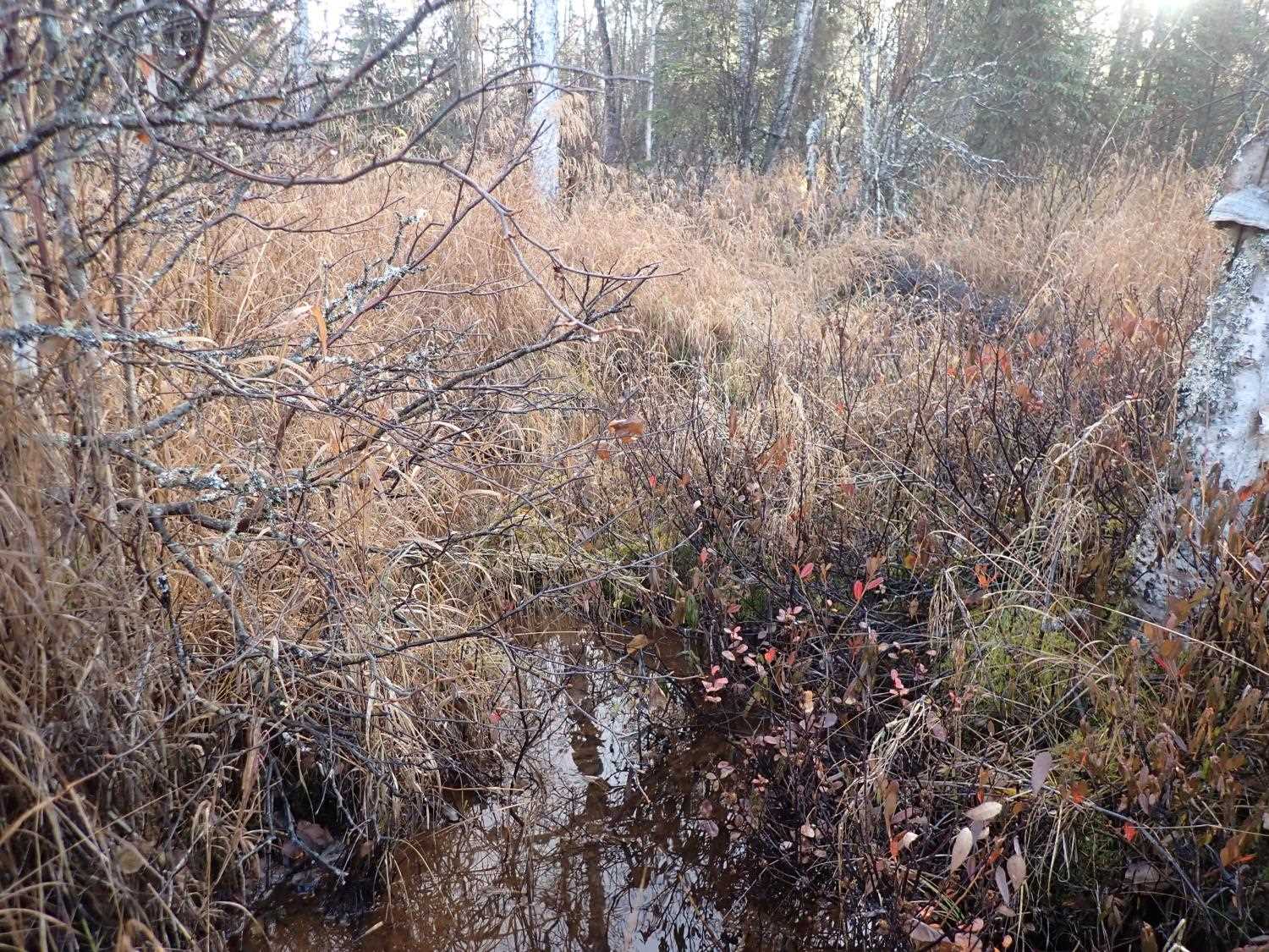
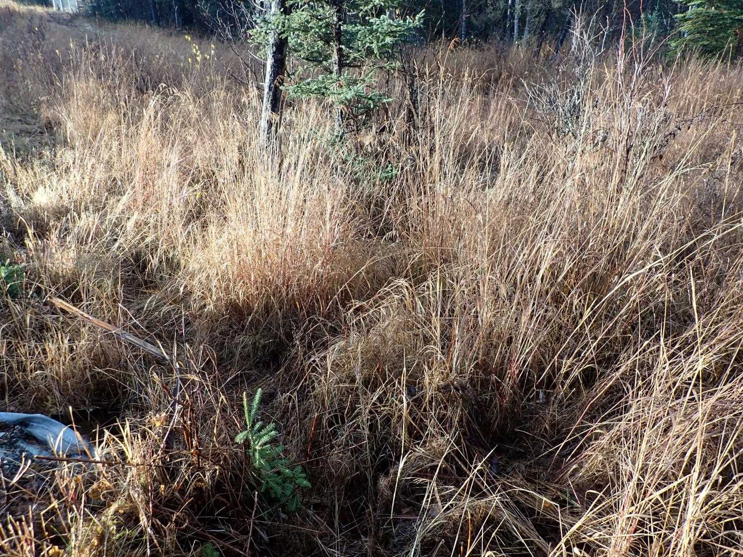
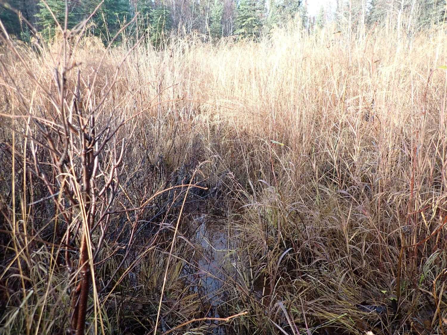
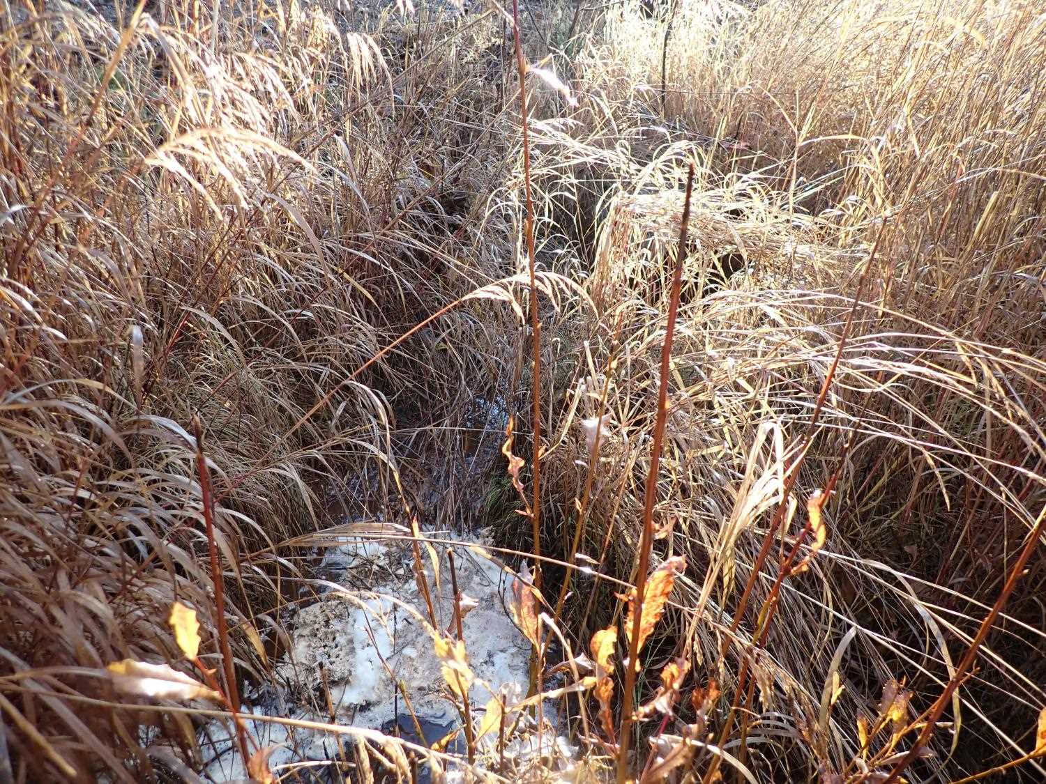
Photos
Questions or comments about this report can be directed to dfg.dsf.webmaster@alaska.gov