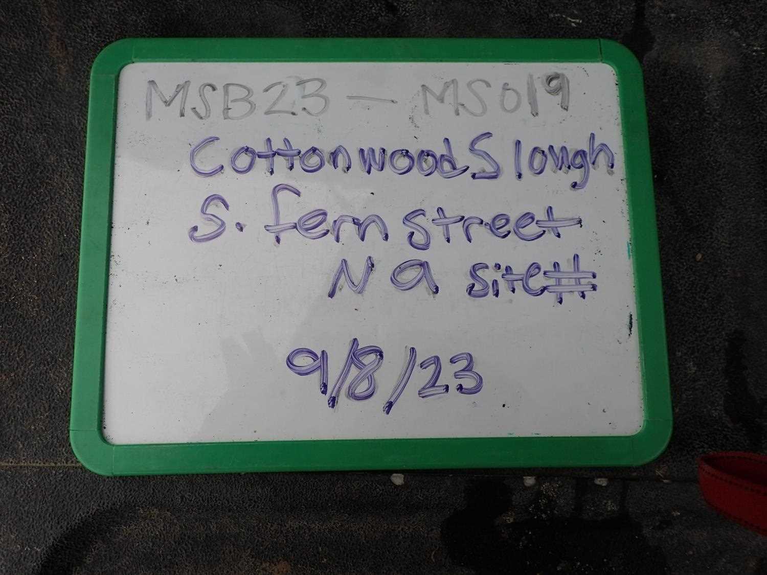
Fish Passage Site 20404050
Coordinates (dec. deg.): 61.54545°, -149.45059°
Legal Description: S017N001W21
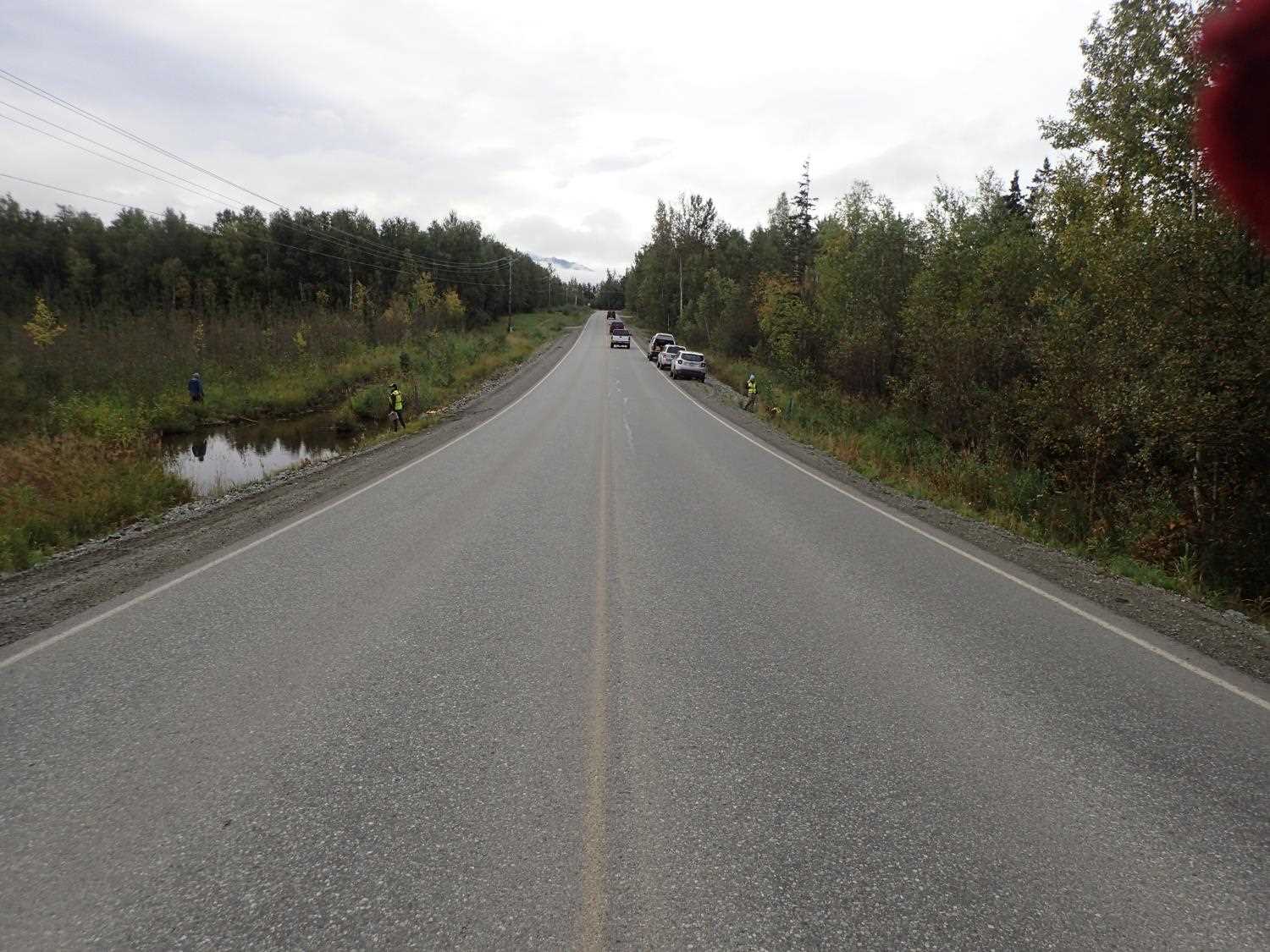
Region: South Central
Road Name: S. Fern Street
Datum: WGS84
Quad Name / ITM: Anchorage C-7
AWC Stream #:
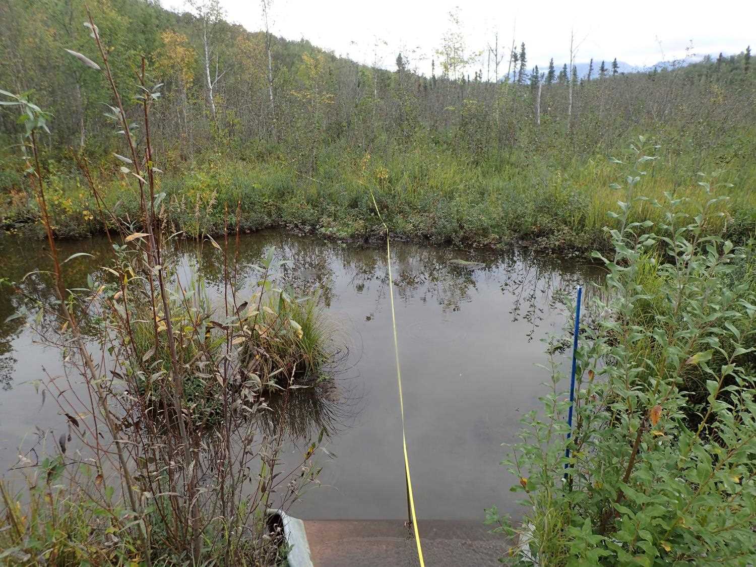
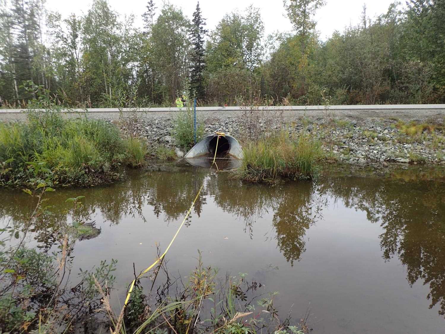
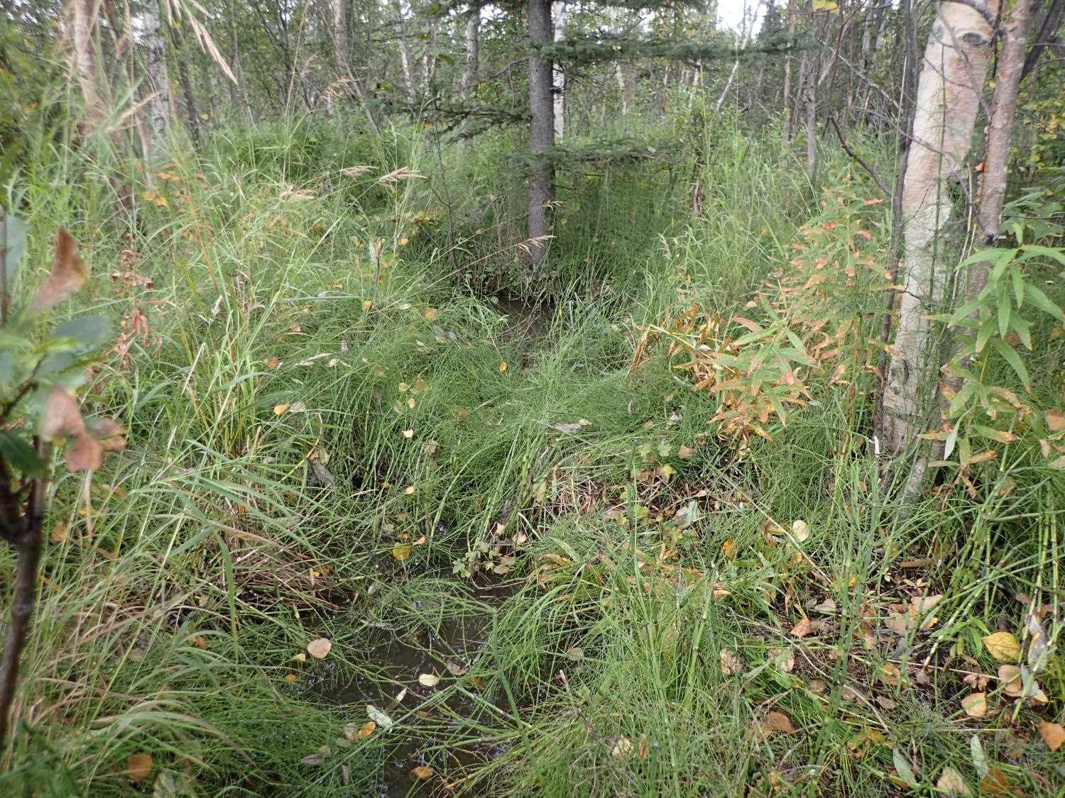
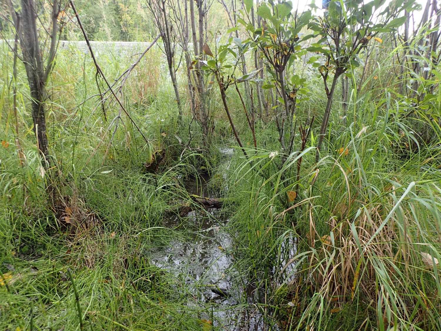
Stream Name: Cottonwood Slough
Elevation:
Site Comments: None
Survey MSB23-MS019
Project Supervisor: Michael Mazzacavallo, Alaska Department of Fish and Game
— Anchorage, AK
Observers: Michael Mazzacavallo, Kat Leavitt, Beth Evers, Kevin Keith
Overall Fish Passage Rating:
Tidal: No
Backwatered: No
Step Pools: No
Construction Year:
Site Observations:
- Other, including vibrations, cavitation, etc.
Comments: Small fish spotted upstream, species unknown.
Culvert Measurements
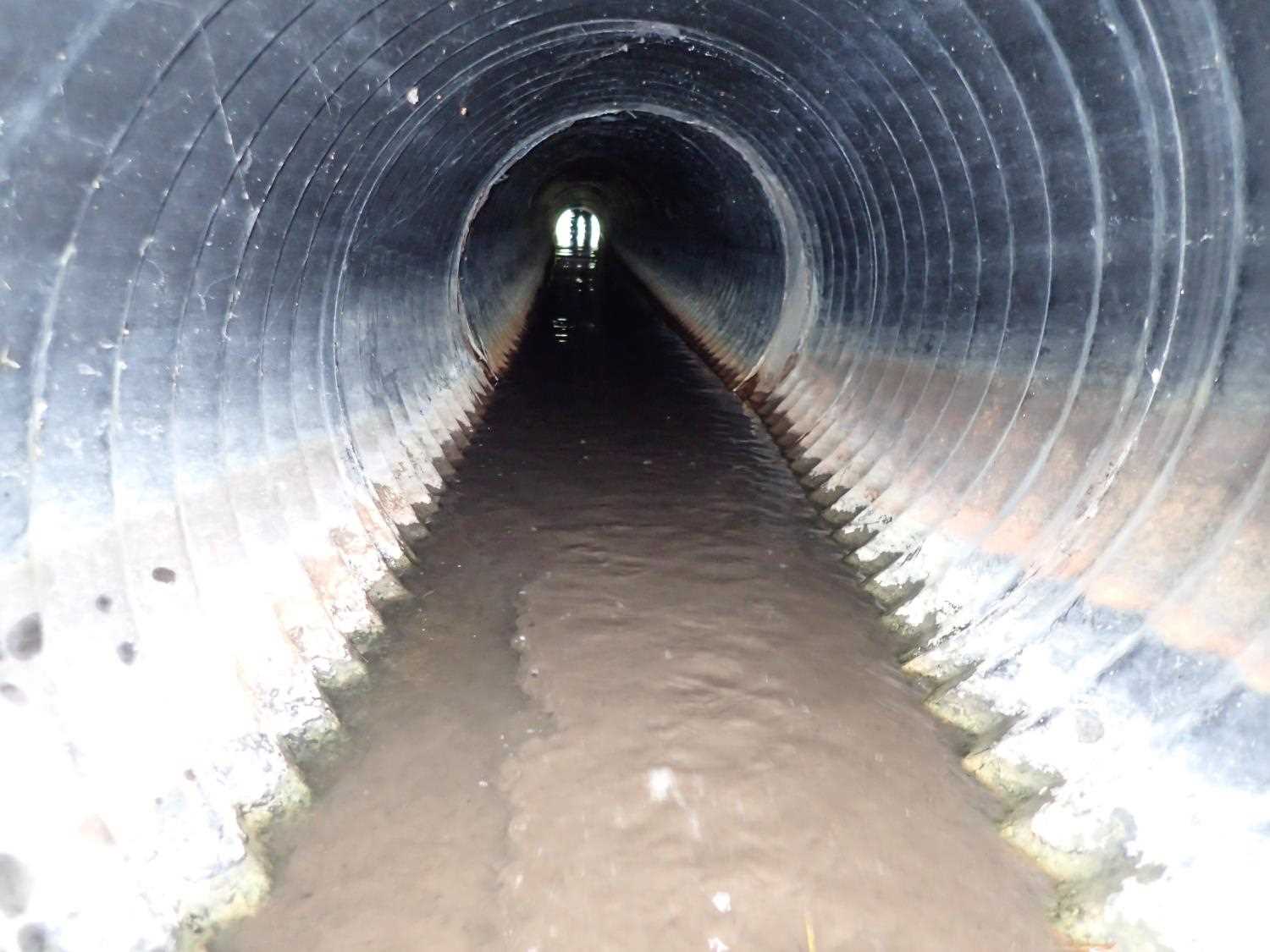
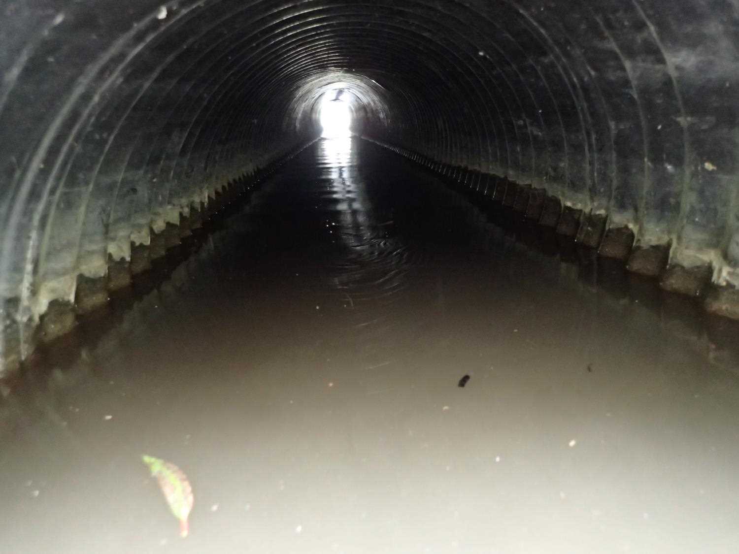
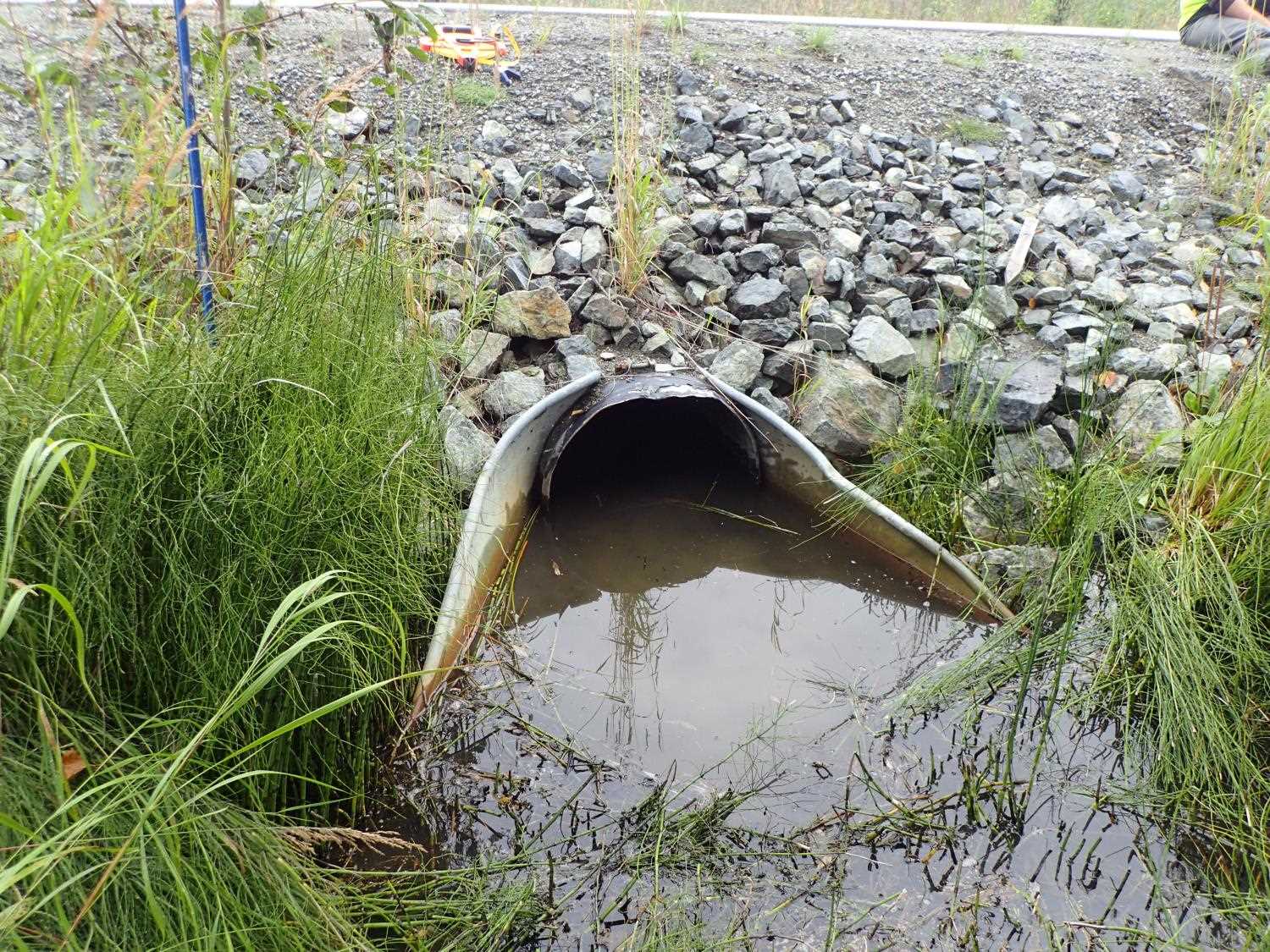
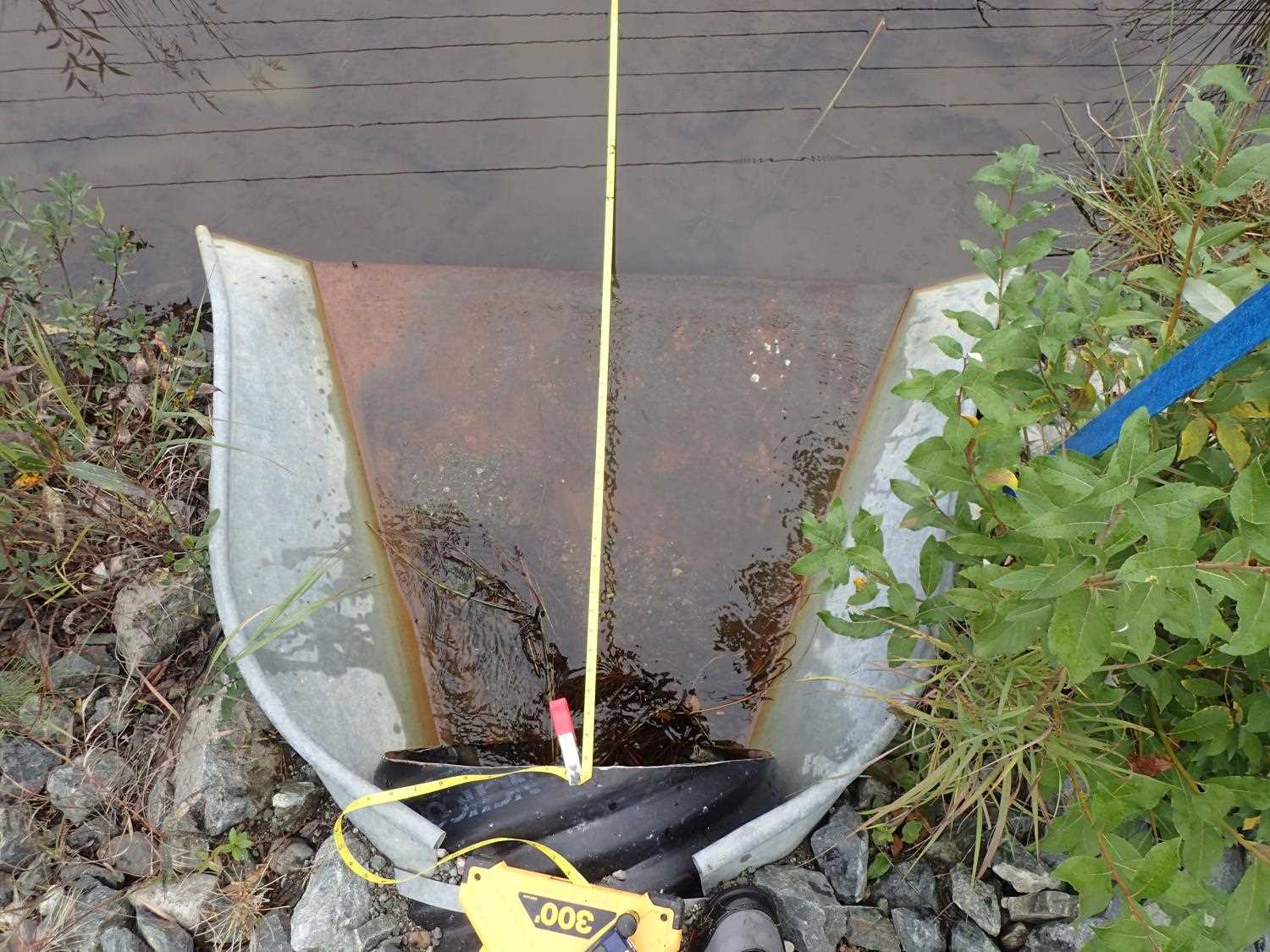
| ID: 1 | Structure Type: Circular pipe (Corrugated steel) | Fish Passage Rating: | ||||||||||||||||||||||||||||||||||||||||||
|
|
|
||||||||||||||||||||||||||||||||||||||||||
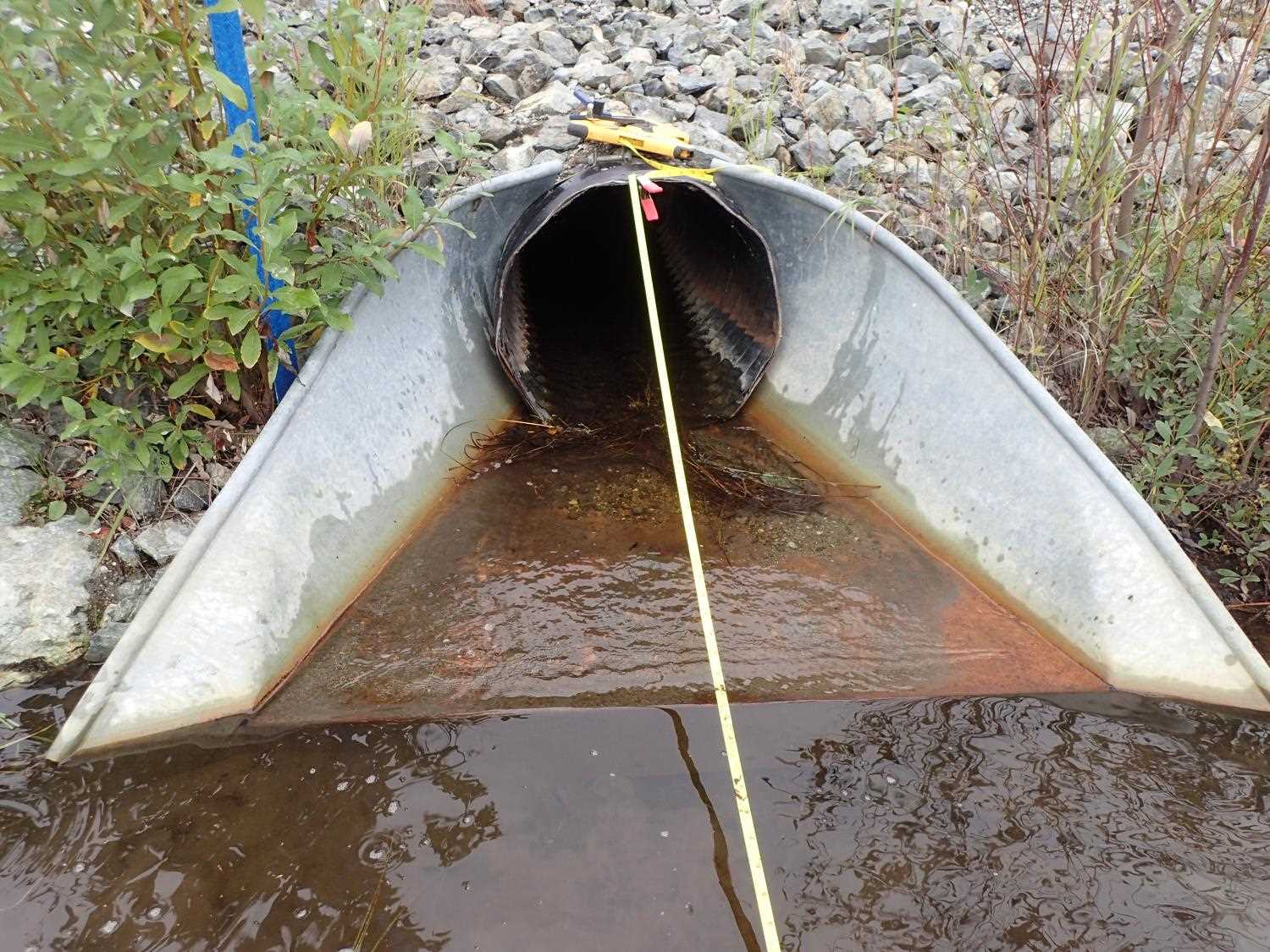
Comments: Inlet apron acting as water control.Apron elevated, gradient is -7.62%. Inlet invert apron bottom is 0.72ft. |
||||||||||||||||||||||||||||||||||||||||||||
Culvert Observations:
|
||||||||||||||||||||||||||||||||||||||||||||
Stream Measurements
|
|
No stream width data available.
Elevations
| Locator ID | Culvert Number |
River Distance (ft)1 |
Distance From Crossing (ft)2 |
Relative Elevation (ft) |
|---|---|---|---|---|
| Road Elev | 103.69 | |||
| D/S Water Surface Elev | 0.00 | 99.03 | ||
| D/S Thalweg (Bottom of apron) | 27.00 | 98.77 | ||
| Outlet Invert | 30.00 | 98.61 | ||
| D/S Water Surface Elev | 30.00 | 99.52 | ||
| Outlet Culvert Top | 30.00 | 100.62 | ||
| Inlet Culvert Invert | 75.62 | 99.44 | ||
| U/S Water Surface Elev | 75.62 | 99.84 | ||
| Inlet Culvert Top | 75.62 | 97.59 | ||
| U/S Thalweg (Top of apron) | 76.00 | 99.40 | ||
| U/S Thalweg (Bottom of apron) | 78.62 | 99.63 | ||
| U/S Water Surface Elev (Watersurface at bottom of apron) | 78.62 | 99.67 | ||
| U/S Water Surface Elev | 105.62 | 99.59 | ||
| U/S Thalweg | 105.62 | 98.91 |
Notes:
- River distance is measured continuously throughout the survey reach along the thalweg of the stream.
- Measured from each end of the crossing along the thalweg of the stream.
Fish Sampling Efforts
No fish sampling occurred during this survey.
Fish Observations
No fish observations occurred during this survey.
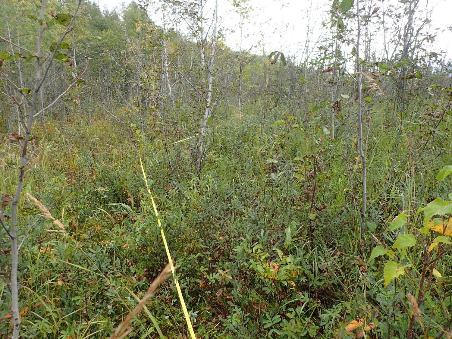
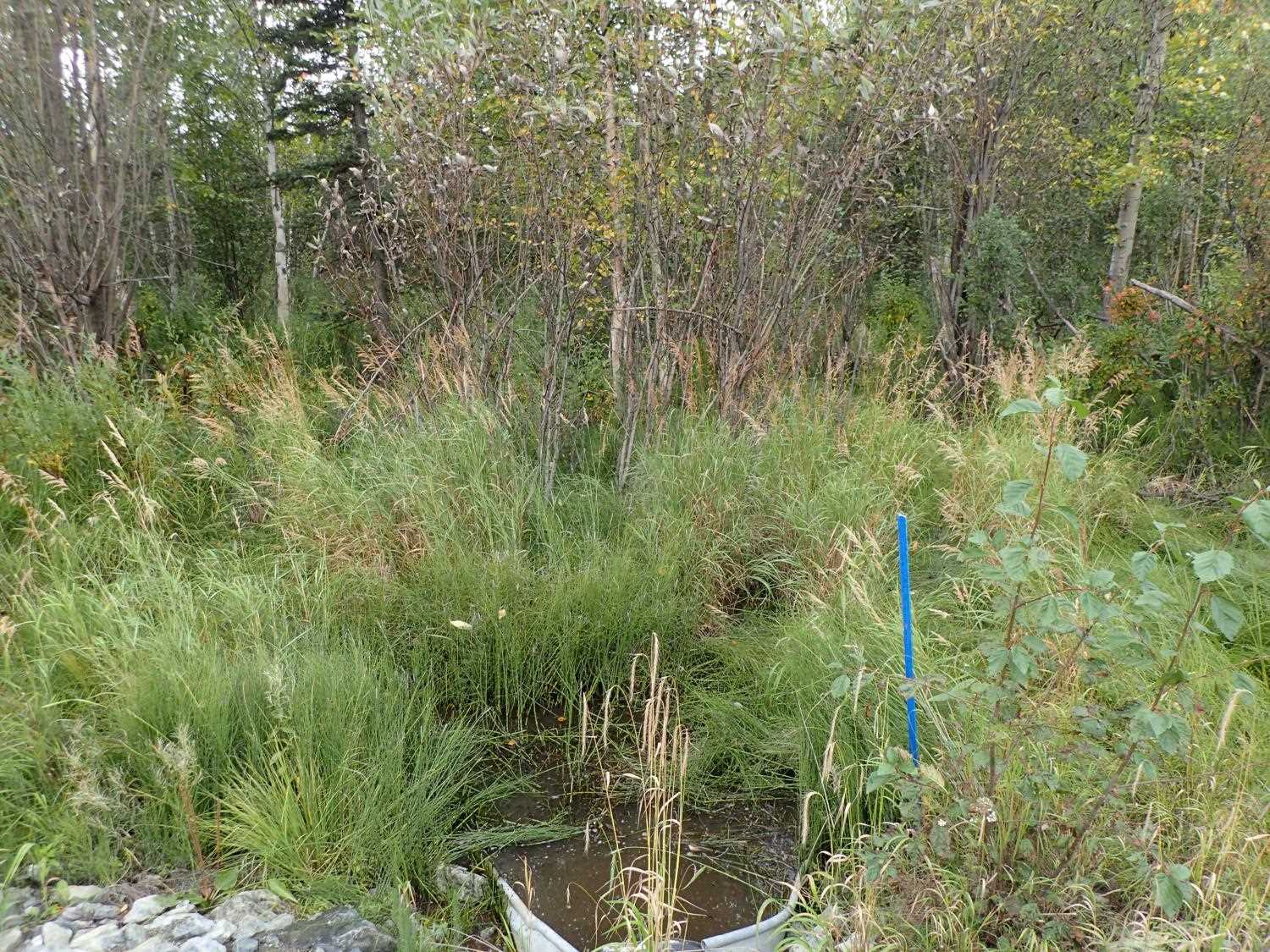
Photos
Questions or comments about this report can be directed to dfg.dsf.webmaster@alaska.gov