Fish Passage Site 20403989
Coordinates (dec. deg.): 61.48435°, -149.12720°
Legal Description: S016N002E08
Region: South Central
Road Name:
Datum: WGS84
Quad Name / ITM: Anchorage B-6
AWC Stream #:
Stream Name:
Elevation:
Site Comments: None
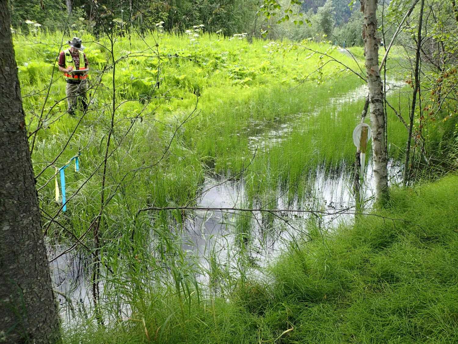
Survey MSB23-OLG03
Project Supervisor: Michael Mazzacavallo, Alaska Department of Fish and Game
— Anchorage, AK
Observers: Michael Mazzacavallo, Kevin Keith, Amy LaBarre
Overall Fish Passage Rating:
Tidal: No
Backwatered: Yes
Step Pools: No
Construction Year:
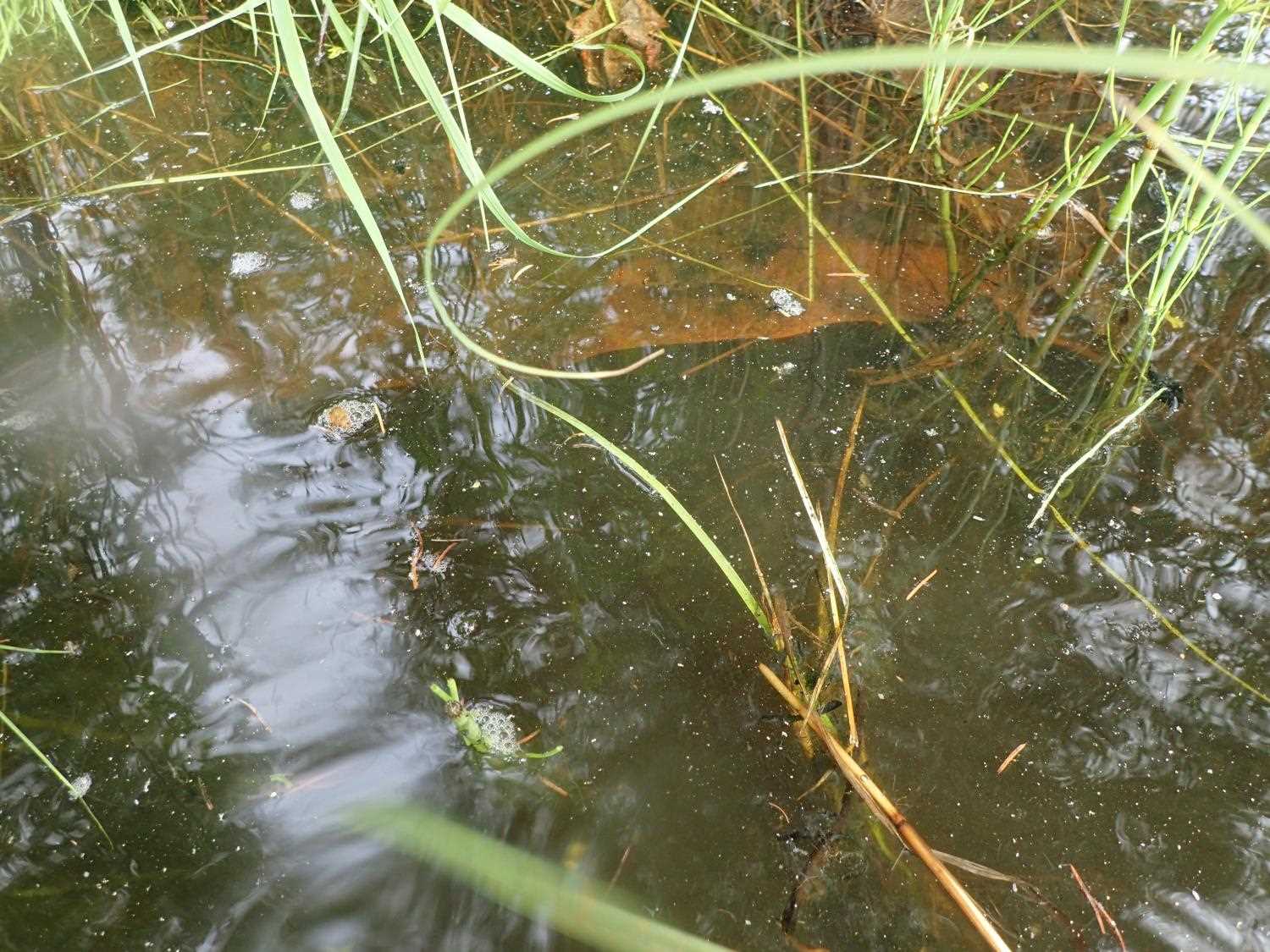
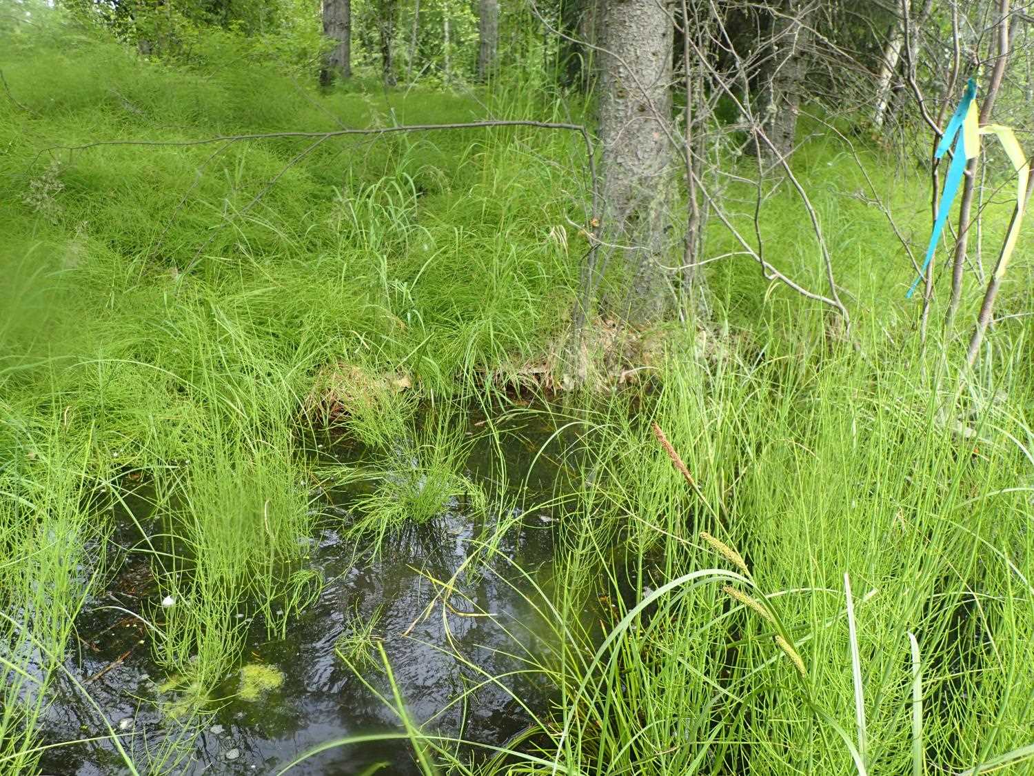
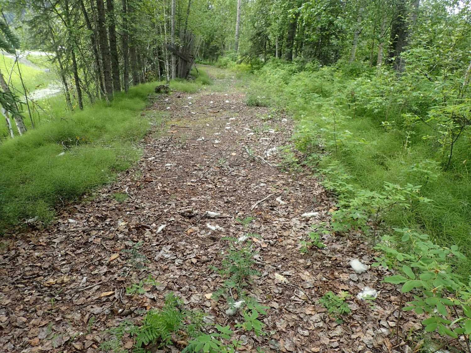
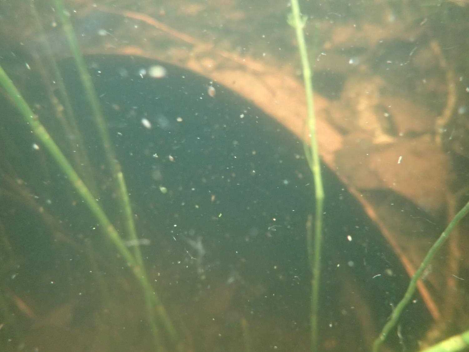
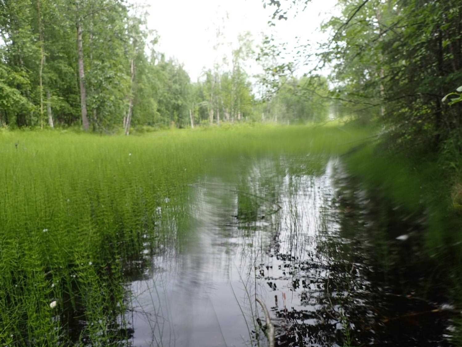
Comments: This is a ghost culvert on an abandoned part of the origianl Glen Highway road prism. Both ends of the culvert were completely submerged. It was difficult to assess the condition of the culvert.
Culvert Measurements
| ID: 1 | Structure Type:N/A | Fish Passage Rating: | |||||||||||||||||||||||||||||||||||||||||
|
|
|
|||||||||||||||||||||||||||||||||||||||||
Stream Measurements
|
|
No stream width data available.
Elevations
No elevation data available.
Fish Sampling Efforts
No fish sampling occurred during this survey.
Fish Observations
No fish observations occurred during this survey.
Photos
Questions or comments about this report can be directed to dfg.dsf.webmaster@alaska.gov