Fish Passage Site 20401358
Coordinates (dec. deg.): 61.55190°, -149.29947°
Legal Description: S017N001E20
Region: South Central
Road Name: Nelson Road
Datum: NAD83
Quad Name / ITM: Anchorage C-7
AWC Stream #: 247-50-10260-2019
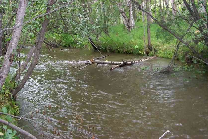
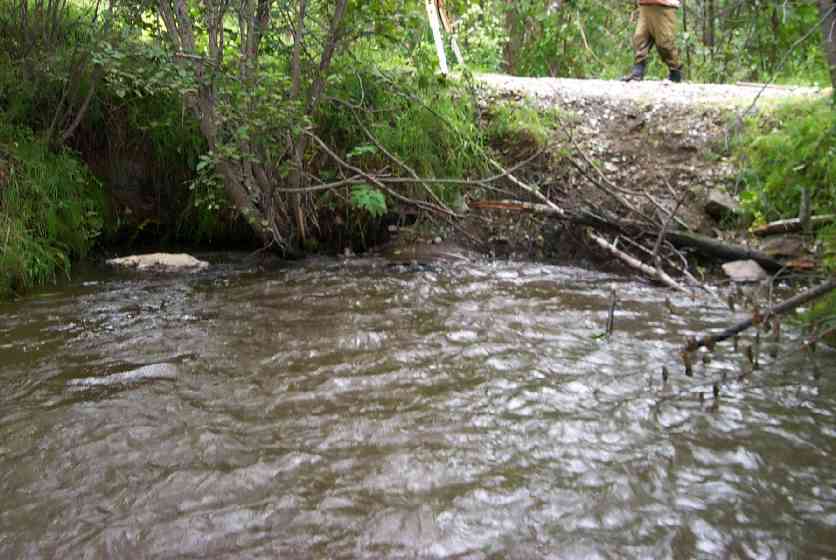
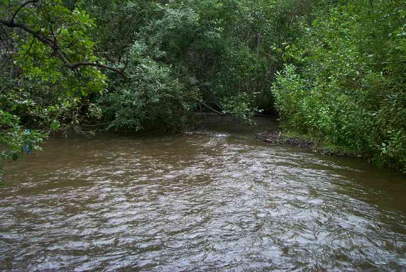
Stream Name: Wasilla Creek
Elevation:
Site Comments: Culvert removed in February 2012. Abandoned road off Nelson Rd.
arrow to the right of the survey date below to choose a different report for this site.
Survey MSCS1-WA068
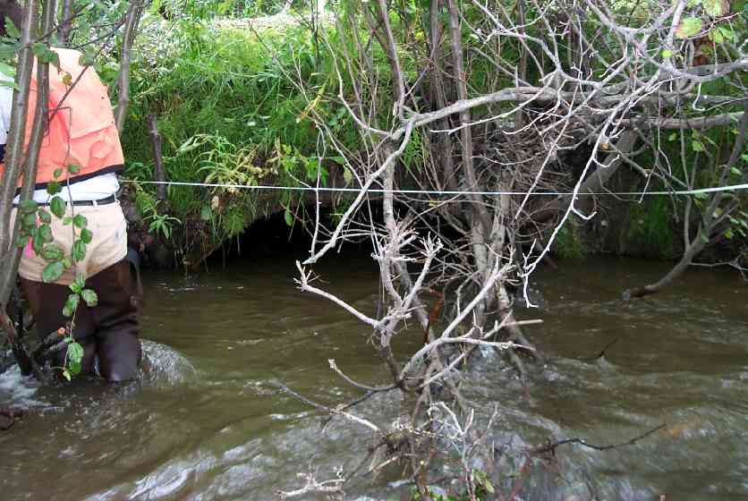
Observers: Edward Weiss, Joe Conner, Olof Jacobsson
Overall Fish Passage Rating:
Tidal: No
Backwatered: No
Step Pools:
Construction Year:
Site Observations:
- Constriction ratio red
Comments: Inlet erosion; no use of culvert after bridge installed dwnstream and should eventually be removed.
Culvert Measurements
| ID: 1 | Structure Type: Open-bottom arch (Strutural Metal Plate) | Fish Passage Rating: | |||||||||||||||||||||||||||||||||||||||||
|
|
|
|||||||||||||||||||||||||||||||||||||||||
Culvert Observations:
|
|||||||||||||||||||||||||||||||||||||||||||
Stream Measurements
|
|
| Stream Width Type | Distance From Crossing (ft) |
Stream Width (ft) |
|---|---|---|
| Upstream ordinary high water | 16.0 | 25.00 |
| Upstream ordinary high water | 65.0 | 26.00 |
| Upstream ordinary high water | 123.0 | 27.00 |
Elevations
| Locator ID | Culvert Number |
River Distance (ft)1 |
Distance From Crossing (ft)2 |
Relative Elevation (ft) |
|---|---|---|---|---|
| Inlet Culvert Top | 1 | 91.02 | ||
| Outlet Culvert Top | 1 | 91.84 | ||
| D/S Thalweg | 0.00 | 95.0 | 88.20 | |
| D/S Thalweg | 68.00 | 27.0 | 89.21 | |
| D/S Tailcrest or 1st Thalweg | 90.00 | 5.0 | 90.00 | |
| Outlet Thalweg | 1 | 95.00 | 0.0 | 88.46 |
| Outlet Invert | 1 | 95.00 | 0.0 | 88.62 |
| Road Elev | 106.00 | 95.18 | ||
| Road Elev | 106.00 | 95.26 | ||
| Inlet Culvert Invert | 1 | 117.00 | 0.0 | 86.32 |
| Inlet Thalweg | 1 | 117.00 | 0.0 | 86.32 |
| U/S Thalweg | 1 | 118.00 | 1.0 | 87.57 |
| U/S Thalweg | 182.00 | 65.0 | 89.95 | |
| U/S Thalweg | 240.00 | 123.0 | 89.70 |
Notes:
- River distance is measured continuously throughout the survey reach along the thalweg of the stream.
- Measured from each end of the crossing along the thalweg of the stream.
Fish Sampling Efforts
No fish sampling occurred during this survey.
Fish Observations
No fish observations occurred during this survey.
Photos
Questions or comments about this report can be directed to dfg.dsf.webmaster@alaska.gov