Fish Passage Site 20401357
Coordinates (dec. deg.): 61.65298°, -149.18902°
Legal Description: S018N001E13
Region: South Central
Road Name: Bains Jordan
Datum: NAD83
Quad Name / ITM: Anchorage C-6
AWC Stream #:
Stream Name: Wasilla Creek tributary upstream of Wight Lake
Elevation:
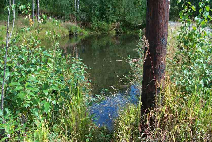
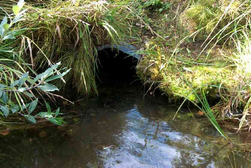
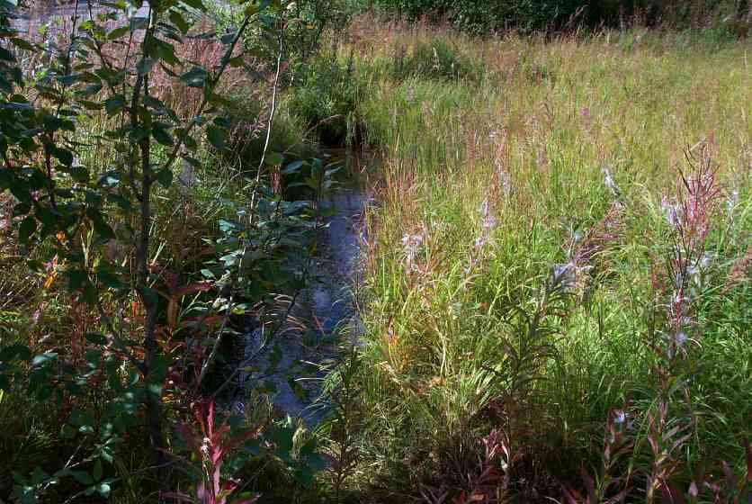
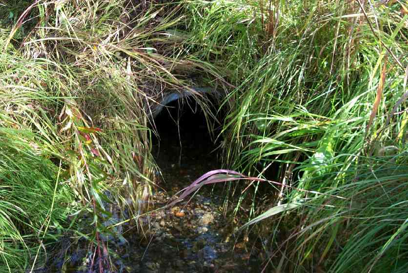
Site Comments: Dual culverts. This site is also old survey # MSCS1WA054. U/S and D/S are ponded so widths were not taken to obtain a constriction ratio. Sheet has no stream stage section. Wasilla Creek tributary upstream of Wight Lake
arrow to the right of the survey date below to choose a different report for this site.
Survey MSCS1-WA088
Observers: Edward Weiss, Olof Jacobsson, Mike Roy
Overall Fish Passage Rating:
Tidal: No
Backwatered: No
Step Pools:
Construction Year:
Comments: Culvert is in apparent non-use. Old Drive overgrown. Upstream of #54 closer to Wright Lake. Possible candidate site for culvert removal??? SWA (4/24/03)
Culvert Measurements
| ID: 1 | Structure Type: Circular pipe (Corrugated Metal) | Fish Passage Rating: | |||||||||||||||||||||||||||||||||||||||||
|
|
|
|||||||||||||||||||||||||||||||||||||||||
Culvert Observations:
|
|||||||||||||||||||||||||||||||||||||||||||
Stream Measurements
|
|
No stream width data available.
Elevations
| Locator ID | Culvert Number |
River Distance (ft)1 |
Distance From Crossing (ft)2 |
Relative Elevation (ft) |
|---|---|---|---|---|
| Outlet Culvert Top | 1 | 91.93 | ||
| Inlet Culvert Top | 1 | 92.06 | ||
| Outlet Invert | 1 | 0.00 | 0.0 | 90.99 |
| U/S Thalweg (upstream 0.0 thalweg) | 20.00 | 0.0 | 89.88 | |
| Inlet Culvert Invert | 1 | 20.00 | 0.0 | 90.86 |
Notes:
- River distance is measured continuously throughout the survey reach along the thalweg of the stream.
- Measured from each end of the crossing along the thalweg of the stream.
Fish Sampling Efforts
No fish sampling occurred during this survey.
Fish Observations
No fish observations occurred during this survey.
Photos
Questions or comments about this report can be directed to dfg.dsf.webmaster@alaska.gov