Fish Passage Site 20401357
Coordinates (dec. deg.): 61.65298°, -149.18902°
Legal Description: S018N001E13
Region: South Central
Road Name: Bains Jordan
Datum: NAD83
Quad Name / ITM: Anchorage C-6
AWC Stream #:
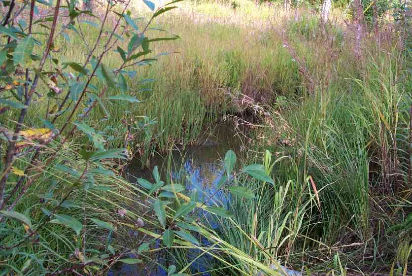
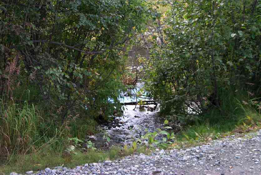
Stream Name: Wasilla Creek tributary upstream of Wight Lake
Elevation:
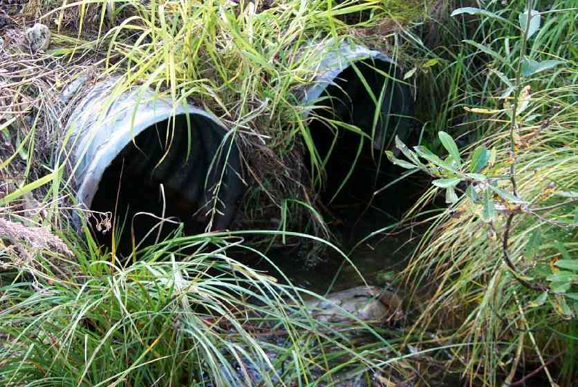
Site Comments: Dual culverts. This site is also old survey # MSCS1WA054. U/S and D/S are ponded so widths were not taken to obtain a constriction ratio. Sheet has no stream stage section. Wasilla Creek tributary upstream of Wight Lake
arrow to the right of the survey date below to choose a different report for this site.
Survey MSCS1-WA054
Observers: Edward Weiss
Overall Fish Passage Rating:
Tidal: No
Backwatered: No
Step Pools:
Construction Year:
Comments: None
Culvert Measurements
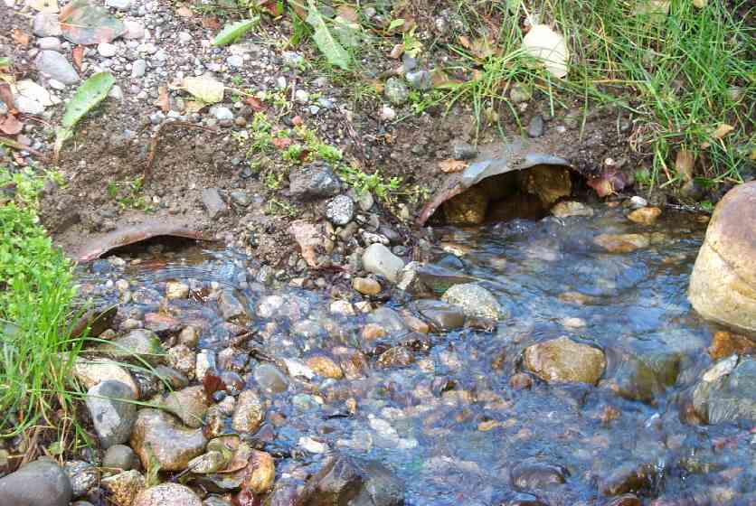
| ID: 1 | Structure Type: Circular pipe (Corrugated Metal) | Fish Passage Rating: | |||||||||||||||||||||||||||||||||||||||||
|
|
|
|||||||||||||||||||||||||||||||||||||||||
Culvert Observations:
|
|||||||||||||||||||||||||||||||||||||||||||
| ID: 2 | Structure Type: Circular pipe (Corrugated Metal) | Fish Passage Rating: | |||||||||||||||||||||||||||||||||||||||||
|
|
|
|||||||||||||||||||||||||||||||||||||||||
Culvert Observations:
|
|||||||||||||||||||||||||||||||||||||||||||
Stream Measurements
|
|
No stream width data available.
Elevations
| Locator ID | Culvert Number |
River Distance (ft)1 |
Distance From Crossing (ft)2 |
Relative Elevation (ft) |
|---|---|---|---|---|
| Outlet Culvert Top | 2 | 91.44 | ||
| Outlet Culvert Top | 1 | 91.47 | ||
| Inlet Culvert Top | 2 | 92.55 | ||
| Inlet Culvert Top | 1 | 92.58 | ||
| Outlet Thalweg | 1 | 0.00 | 0.0 | 90.92 |
| Outlet Invert | 1 | 0.00 | 0.0 | 91.02 |
| Outlet Invert | 2 | 0.00 | 0.0 | 91.23 |
| Road Elev | 20.00 | 94.01 | ||
| Road Elev | 20.00 | 94.37 | ||
| Inlet Culvert Invert | 2 | 40.00 | 0.0 | 91.04 |
| Inlet Culvert Invert | 1 | 40.00 | 0.0 | 91.06 |
| Inlet Thalweg | 2 | 41.00 | 1.0 | 91.08 |
| Inlet Thalweg | 1 | 41.00 | 1.0 | 91.03 |
Notes:
- River distance is measured continuously throughout the survey reach along the thalweg of the stream.
- Measured from each end of the crossing along the thalweg of the stream.
Fish Sampling Efforts
| Gear Type: Minnow Trap (A) | ||
| Gear Type: Minnow Trap (B) | ||
Fish Observations
| Species: juvenile/adult stickleback-unspecified | Life History: Resident | ||
| Total Fish Observed: 2 | Fish Measured: 1 | Fork Lengths (mm) Min: 80 Max: 80 Mean: 80 | |
| Collected/Observed by Gear Type: Downstream Minnow Trap (2) | |||
| Species: no fish collected or observed | Life History: Not Applicable | ||
| Total Fish Observed: 0 | Fish Measured: | Fork Lengths (mm) Min: Max: Mean: | |
| Collected/Observed by Gear Type: Upstream Minnow Trap (0) | |||
Photos
Questions or comments about this report can be directed to dfg.dsf.webmaster@alaska.gov