Fish Passage Site 20401355
Coordinates (dec. deg.): 61.57862°, -149.28677°
Legal Description: S017N001E09
Region: South Central
Road Name: Lower Road
Datum: NAD83
Quad Name / ITM: Anchorage C-7
AWC Stream #: 247-50-10260-2019-3041
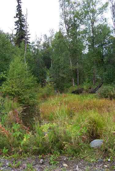
Stream Name: Wasilla Creek tributary
Elevation:
Site Comments: Lower Road - near Hyer Road
Multiple surveys have been conducted at this site — click on the drop down
arrow to the right of the survey date below to choose a different report for this site.
arrow to the right of the survey date below to choose a different report for this site.
Survey MSCS1-WA052
Observers: Olof Jacobsson, Edward Weiss, Joe Conner
Overall Fish Passage Rating:
Tidal: No
Backwatered: No
Step Pools:
Construction Year:
Comments: None
Culvert Measurements
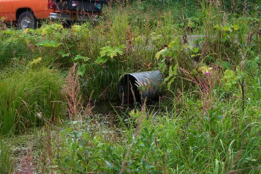
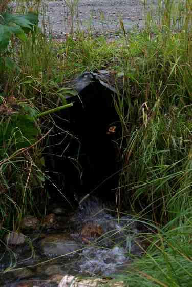
| ID: 1 | Structure Type: Circular pipe (Corrugated Metal) | Fish Passage Rating: | |||||||||||||||||||||||||||||||||||||||||
|
|
|
|||||||||||||||||||||||||||||||||||||||||
Culvert Observations:
|
|||||||||||||||||||||||||||||||||||||||||||
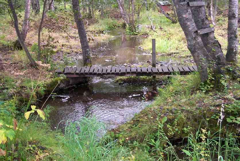
Stream Measurements
|
|
| Stream Width Type | Distance From Crossing (ft) |
Stream Width (ft) |
|---|---|---|
| Downstream ordinary high water | 1.4 | 3.00 |
| Downstream ordinary high water | 75.0 | 6.70 |
| Downstream ordinary high water | 90.0 | 7.00 |
Elevations
| Locator ID | Culvert Number |
River Distance (ft)1 |
Distance From Crossing (ft)2 |
Relative Elevation (ft) |
|---|---|---|---|---|
| Outlet Culvert Top | 1 | 94.13 | ||
| Inlet Culvert Top | 1 | 94.21 | ||
| D/S Thalweg | 0.00 | 90.0 | 89.66 | |
| D/S Thalweg | 15.00 | 75.0 | 90.40 | |
| D/S Tailcrest or 1st Thalweg | 88.60 | 1.4 | 91.80 | |
| D/S Thalweg | 89.10 | 0.9 | 91.54 | |
| Outlet Thalweg | 1 | 90.00 | 0.0 | 91.62 |
| Outlet Invert | 1 | 90.00 | 0.0 | 91.91 |
| Road Elev | 106.00 | 94.53 | ||
| Road Elev | 106.00 | 94.67 | ||
| Inlet Thalweg | 1 | 122.00 | 0.0 | 92.01 |
| Inlet Culvert Invert | 1 | 122.00 | 0.0 | 92.18 |
| U/S Thalweg | 1 | 123.50 | 1.5 | 91.68 |
| U/S Thalweg | 227.00 | 105.0 | 91.67 |
Notes:
- River distance is measured continuously throughout the survey reach along the thalweg of the stream.
- Measured from each end of the crossing along the thalweg of the stream.
Fish Sampling Efforts
| Gear Type: Minnow Trap (A) | Trap Duration(h): 2 | |
Fish Observations
| Species: juvenile coho salmon | Life History: Anadromous | ||
| Total Fish Observed: 46 | Fish Measured: 10 | Fork Lengths (mm) Min: 71 Max: 105 Mean: 90 | |
| Collected/Observed by Gear Type: Upstream Minnow Trap (46) | |||
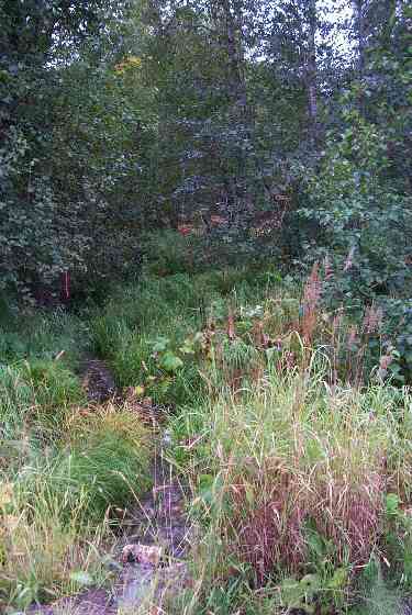
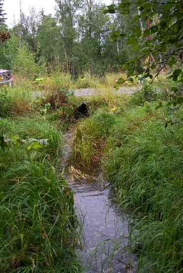
Photos
Questions or comments about this report can be directed to dfg.dsf.webmaster@alaska.gov