Fish Passage Site 20401354
Coordinates (dec. deg.): 61.57931°, -149.29241°
Legal Description: S017N001E09
Region: South Central
Road Name: Lower Road
Datum: NAD83
Quad Name / ITM: Anchorage C-7
AWC Stream #: 247-50-10260-2019-3041-4013
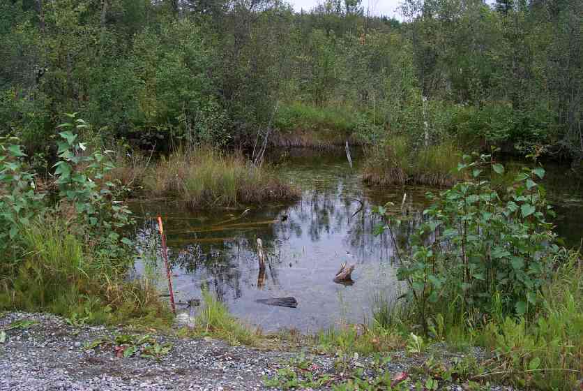
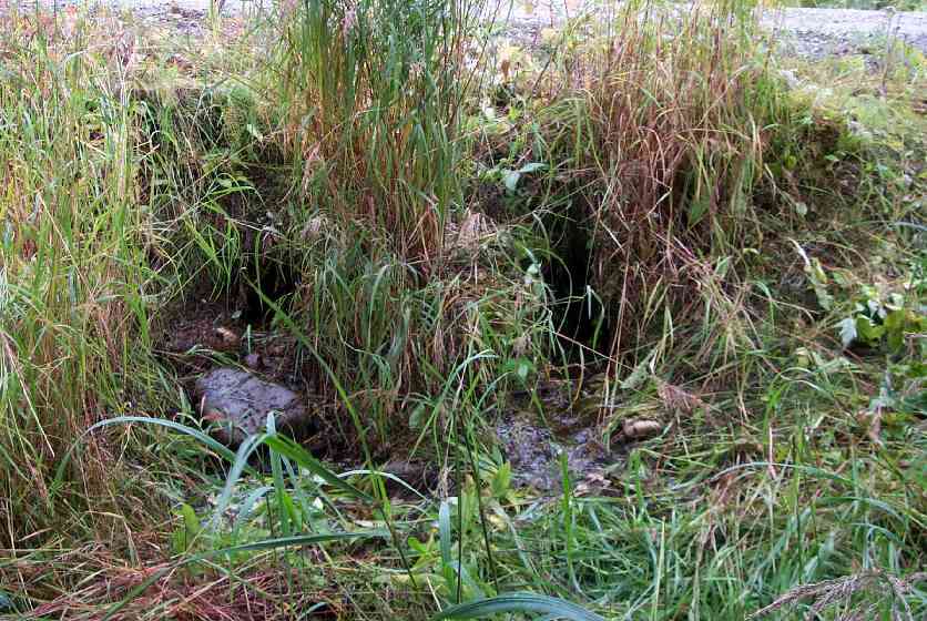
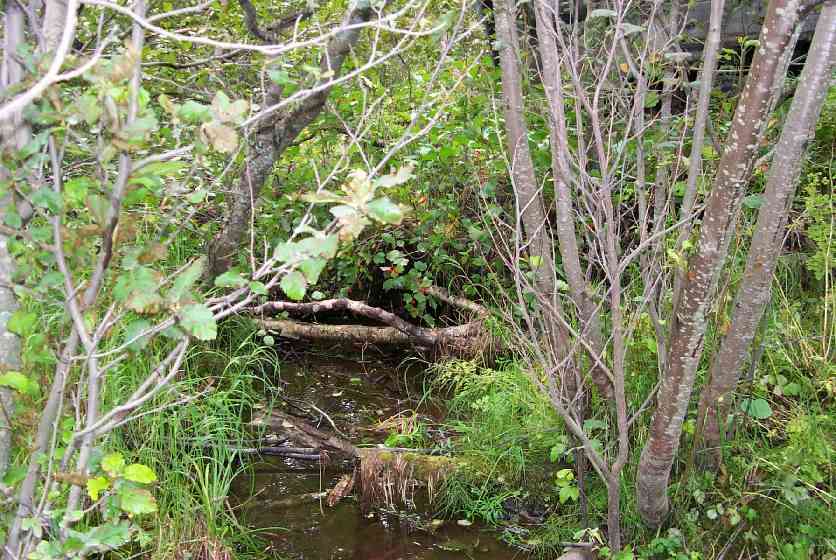
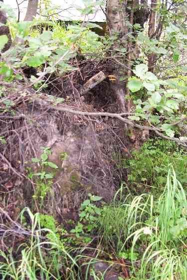
Stream Name: Wasilla Creek tributary
Elevation:
Site Comments: Lower Road - near Hyer Road. Stream joins with other tributary, then goes under Hyer Road.
arrow to the right of the survey date below to choose a different report for this site.
Survey MSCS1-WA051
Observers: Edward Weiss, Olof Jacobsson, Joe Conner
Overall Fish Passage Rating:
Tidal: No
Backwatered: No
Step Pools:
Construction Year:
Comments: Landowner notes juvenile fish used to be more numerous. Stream joins with other tributary, then goes under Hyer Road. Also noted that drinking water failied test because of drain fields upstream.
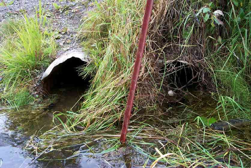
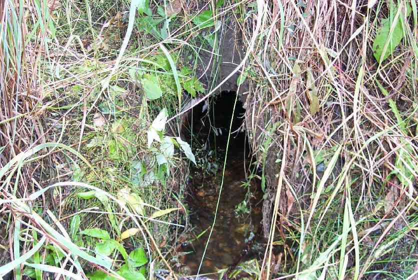
Culvert Measurements
| ID: 1 | Structure Type: Circular pipe (Corrugated Metal) | Fish Passage Rating: | |||||||||||||||||||||||||||||||||||||||||
|
|
|
|||||||||||||||||||||||||||||||||||||||||
| ID: 2 | Structure Type: Circular pipe (Corrugated Metal) | Fish Passage Rating: | |||||||||||||||||||||||||||||||||||||||||
|
|
|
|||||||||||||||||||||||||||||||||||||||||
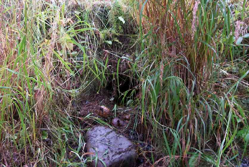
Stream Measurements
|
|
No stream width data available.
Elevations
| Locator ID | Culvert Number |
River Distance (ft)1 |
Distance From Crossing (ft)2 |
Relative Elevation (ft) |
|---|---|---|---|---|
| D/S Thalweg | 88.96 | |||
| Outlet Culvert Top | 2 | 92.23 | ||
| Outlet Culvert Top | 1 | 92.27 | ||
| Inlet Culvert Top | 2 | 92.67 | ||
| Inlet Culvert Top | 1 | 92.96 | ||
| Outlet Invert | 1 | 0.00 | 0.0 | 91.24 |
| Outlet Thalweg | 1 | 0.00 | 0.0 | 91.24 |
| Outlet Invert | 2 | 0.00 | 0.0 | 91.46 |
| Outlet Thalweg | 2 | 0.00 | 0.0 | 91.46 |
| Road Elev | 16.00 | 94.77 | ||
| Road Elev | 16.00 | 94.87 | ||
| Inlet Culvert Invert | 2 | 32.00 | 0.0 | 91.42 |
| Inlet Culvert Invert | 1 | 32.00 | 0.0 | 91.65 |
| U/S Thalweg | 1 | 33.50 | 1.5 | 91.19 |
Notes:
- River distance is measured continuously throughout the survey reach along the thalweg of the stream.
- Measured from each end of the crossing along the thalweg of the stream.
Fish Sampling Efforts
| Gear Type: Minnow Trap (A) | Trap Duration(h): 24 | |
Fish Observations
| Species: juvenile coho salmon | Life History: Anadromous | ||
| Total Fish Observed: 25 | Fish Measured: 10 | Fork Lengths (mm) Min: 60 Max: 126 Mean: 92 | |
| Collected/Observed by Gear Type: Upstream Minnow Trap (25) | |||
Photos
Questions or comments about this report can be directed to dfg.dsf.webmaster@alaska.gov