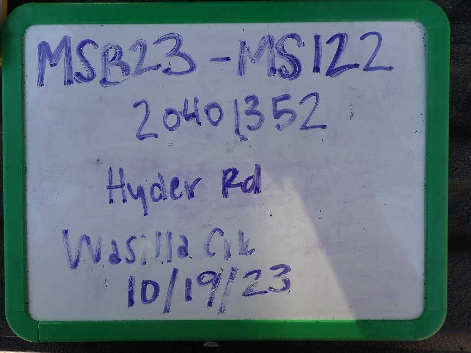
Fish Passage Site 20401352
Coordinates (dec. deg.): 61.57486°, -149.29478°
Legal Description: S017N001E09
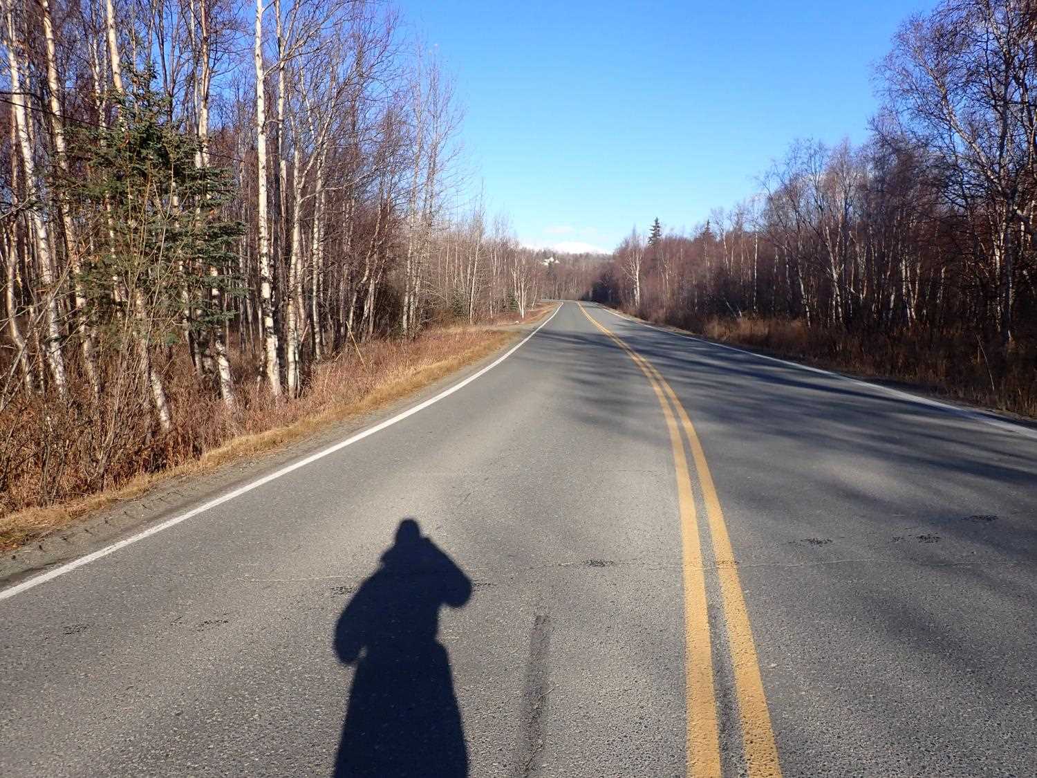
Region: South Central
Road Name: Hyer Road
Datum: NAD83
Quad Name / ITM: Anchorage C-7
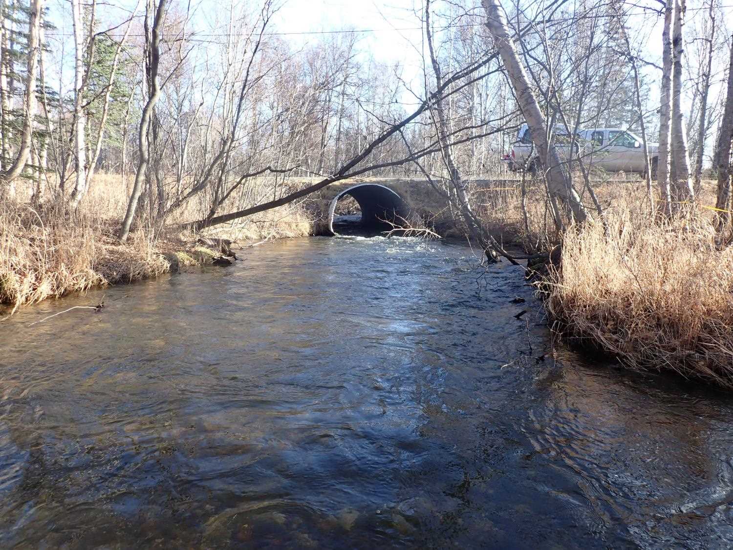
AWC Stream #: 247-50-10260-2019
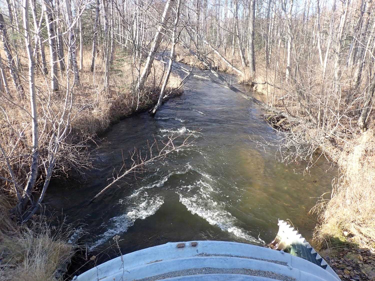
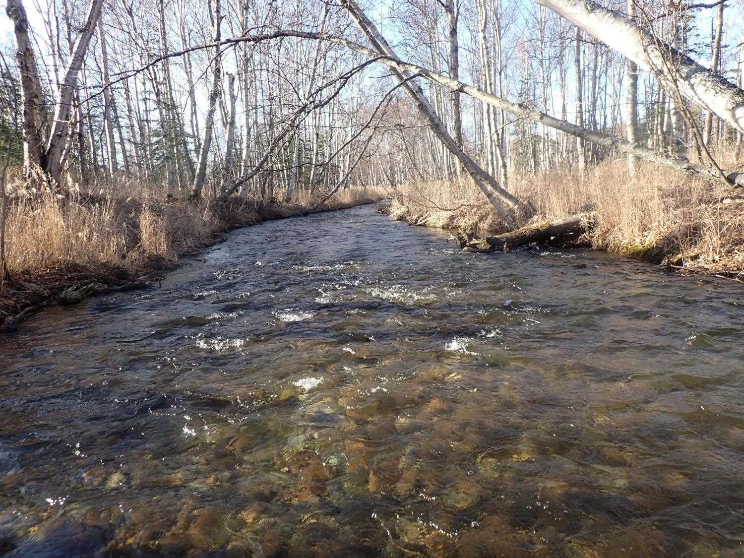
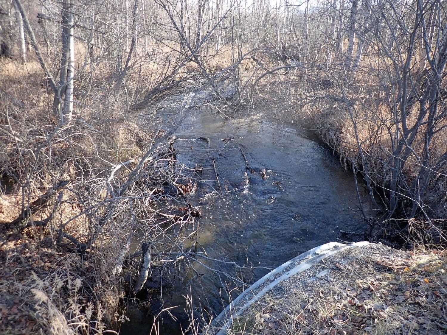
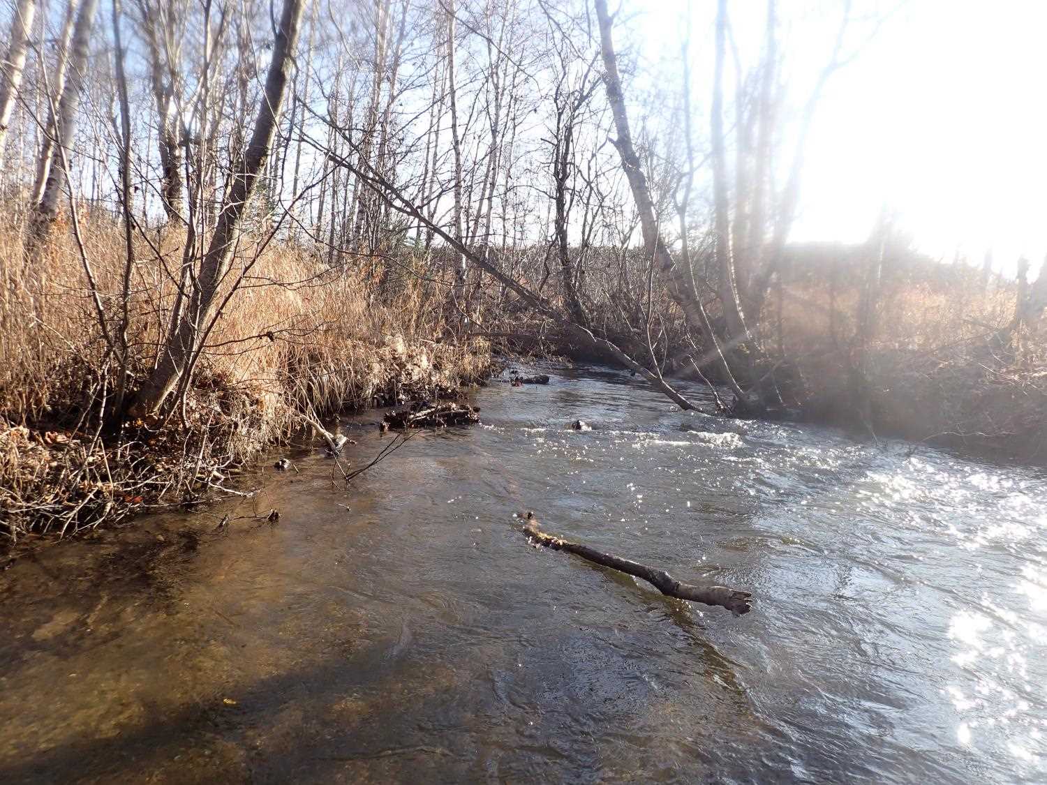
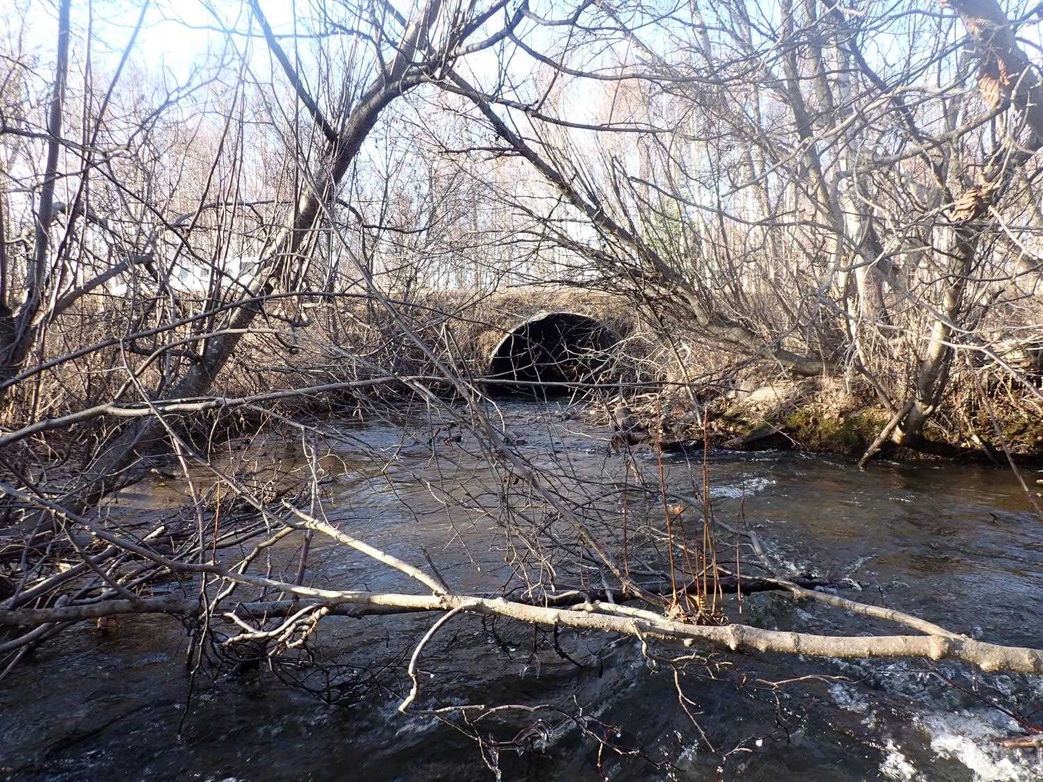
Stream Name: Wasilla Creek
Elevation:
Site Comments: None
arrow to the right of the survey date below to choose a different report for this site.
Survey MSB23-MS122
Project Supervisor: Michael Mazzacavallo, Alaska Department of Fish and Game
— Anchorage, AK
Observers: Michael Mazzacavallo, Kat Leavitt, Beth Evers, Amy LaBarre
Overall Fish Passage Rating:
Tidal: No
Backwatered: No
Step Pools: No
Construction Year:
Site Observations:
- Constriction ratio red
- Culvert gradient gray
- Mechanical damage or joints parting
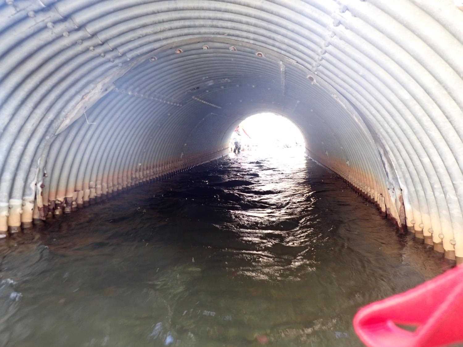
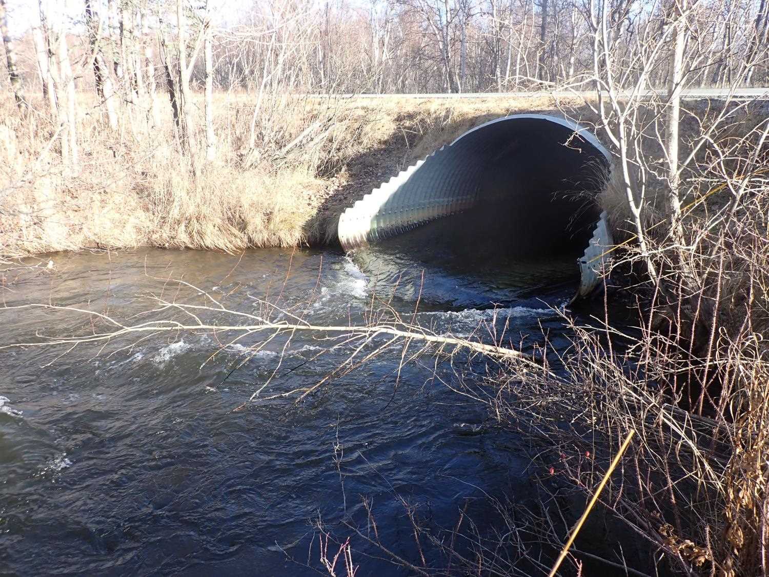
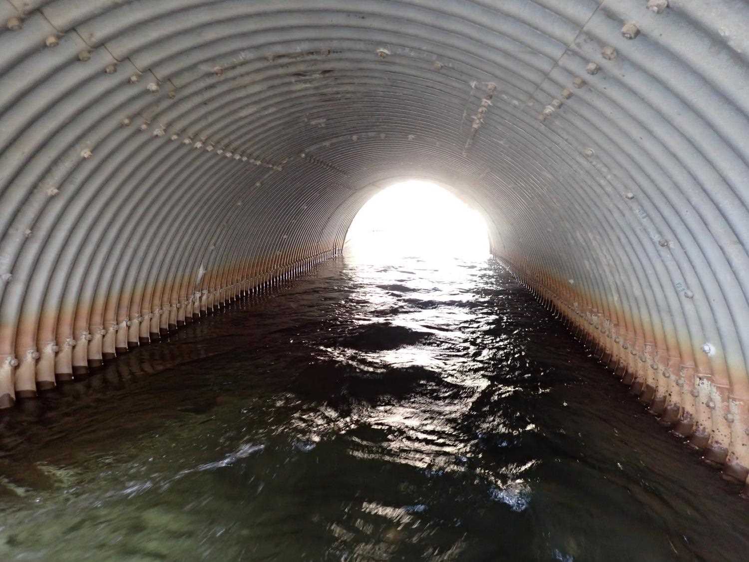
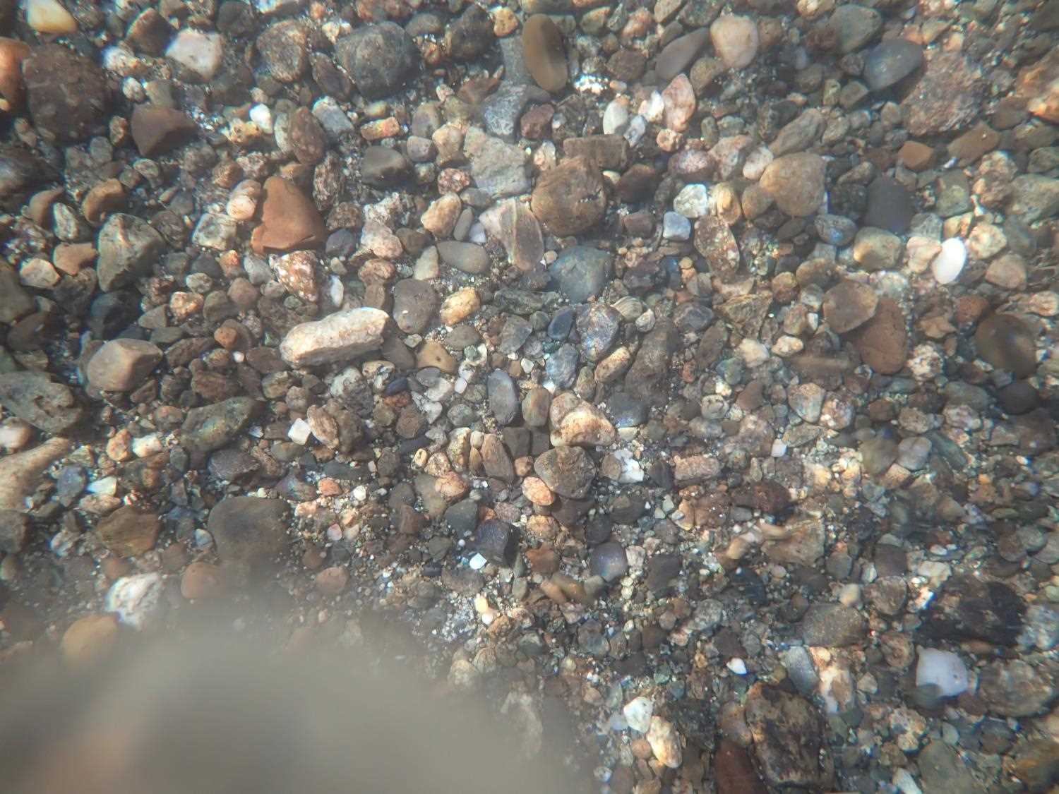
Comments: Scour pools on either side of inlet and outlet. Length of pipe measured, did not include mitered end. Swift water conditions made it hard to stand and measure total pipe length.
Culvert Measurements
| ID: 1 | Structure Type: Pipe-arch (Structural steel plate) | Fish Passage Rating: | ||||||||||||||||||||||||||||||||||||||||||
|
|
|
||||||||||||||||||||||||||||||||||||||||||
Culvert Observations:
|
||||||||||||||||||||||||||||||||||||||||||||
Stream Measurements
|
|
| Stream Width Type | Distance From Crossing (ft) |
Stream Width (ft) |
|---|---|---|
| Upstream ordinary high water | 57.0 | 24.80 |
| Upstream ordinary high water | 70.0 | 21.70 |
| Upstream ordinary high water | 87.0 | 20.50 |
| Upstream ordinary high water | 107.0 | 24.60 |
Elevations
| Locator ID | Culvert Number |
River Distance (ft)1 |
Distance From Crossing (ft)2 |
Relative Elevation (ft) |
|---|---|---|---|---|
| Road Elev | 100.57 | |||
| D/S Thalweg | 0.00 | 91.79 | ||
| D/S Water Surface Elev | 0.00 | 92.43 | ||
| D/S Thalweg | 25.00 | 91.85 | ||
| D/S Water Surface Elev | 25.00 | 92.84 | ||
| D/S Thalweg | 97.00 | 90.28 | ||
| D/S Water Surface Elev | 97.00 | 92.70 | ||
| D/S Thalweg (Outlet End of Mitering) | 100.00 | 92.62 | ||
| Outlet Invert | 107.20 | 91.76 | ||
| Outlet Culvert Top | 107.20 | 98.98 | ||
| D/S Water Surface Elev | 107.20 | 93.30 | ||
| U/S Water Surface Elev | 153.10 | 93.43 | ||
| Inlet Culvert Top | 153.10 | 99.27 | ||
| Inlet Culvert Invert | 153.10 | 92.18 | ||
| U/S Thalweg | 232.10 | 92.87 | ||
| U/S Water Surface Elev | 232.10 | 93.99 | ||
| U/S Water Surface Elev | 249.10 | 94.33 | ||
| U/S Thalweg | 249.10 | 92.48 |
Notes:
- River distance is measured continuously throughout the survey reach along the thalweg of the stream.
- Measured from each end of the crossing along the thalweg of the stream.
Fish Sampling Efforts
No fish sampling occurred during this survey.
Fish Observations
No fish observations occurred during this survey.
Photos
Questions or comments about this report can be directed to dfg.dsf.webmaster@alaska.gov