Fish Passage Site 20401351
Coordinates (dec. deg.): 61.57254°, -149.30899°
Legal Description: S017N001E08
Region: South Central
Road Name: South Grantham Road
Datum: NAD83
Quad Name / ITM: Anchorage C-7
AWC Stream #: 247-50-10260-2019
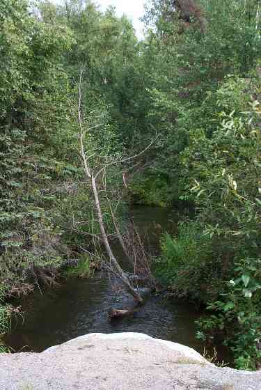
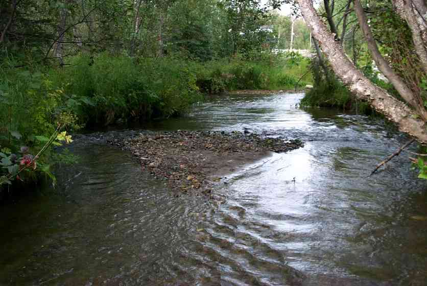
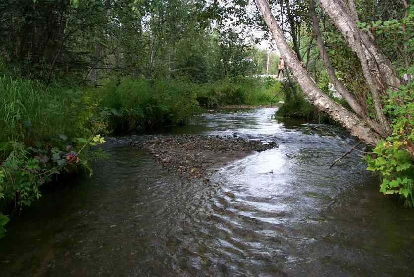
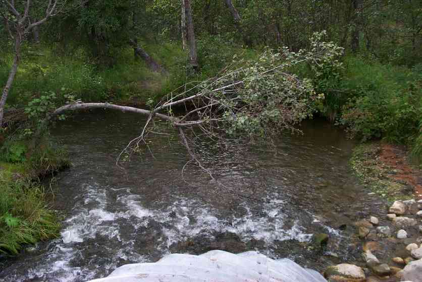
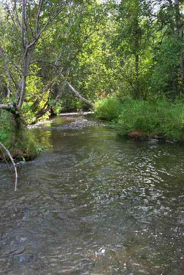
Stream Name: Wasilla Creek
Elevation:
Site Comments: Site is now a bridge. South Grantham off Hyer Road.
arrow to the right of the survey date below to choose a different report for this site.
Survey MSCS1-WA047
Observers: Edward Weiss, Olof Jacobsson, Joe Conner
Overall Fish Passage Rating:
Tidal: No
Backwatered: No
Step Pools:
Construction Year:
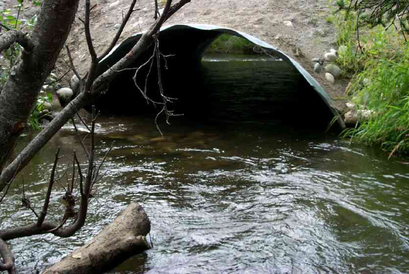
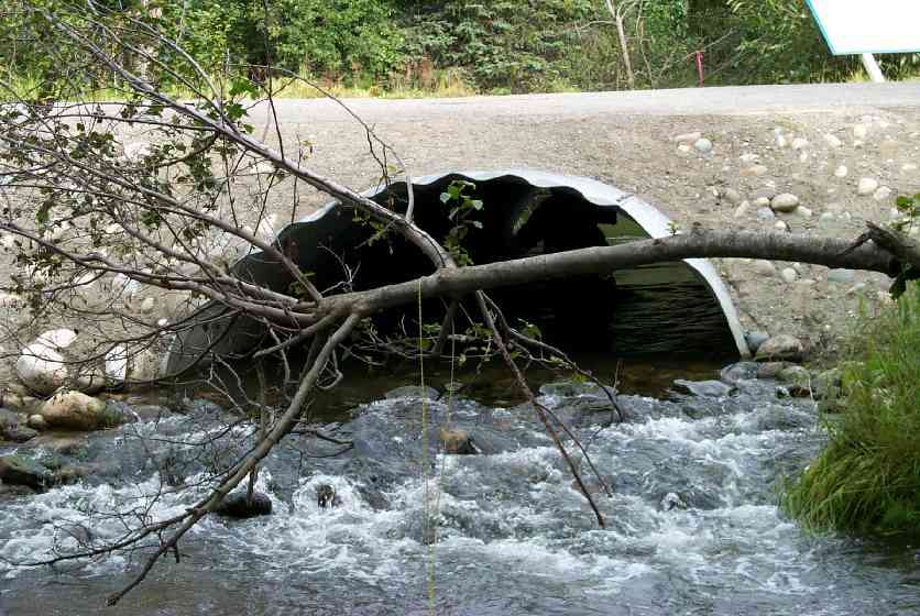
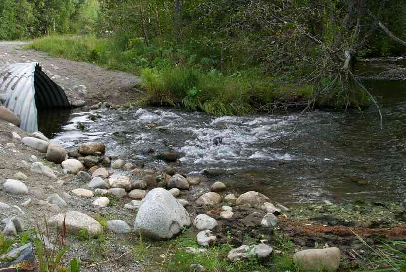
Comments: Channel upstream and downstream primarily sand with FG riffles. 1. Fine road sediments (sands) running down embankment w/rains into stream. Rip-rap outlet cascade pushes outlet pool DS > 3cmp diams. 2. Outlet pool eddies before taking erosional bank.
Culvert Measurements
| ID: 1 | Structure Type: Open-bottom arch (Corrugated Metal) | Fish Passage Rating: | |||||||||||||||||||||||||||||||||||||||||
|
|
|
|||||||||||||||||||||||||||||||||||||||||
Culvert Observations:
|
|||||||||||||||||||||||||||||||||||||||||||
Stream Measurements
|
|
| Stream Width Type | Distance From Crossing (ft) |
Stream Width (ft) |
|---|---|---|
| Upstream ordinary high water | 70.0 | 19.00 |
| Upstream ordinary high water | 100.0 | 14.00 |
Elevations
| Locator ID | Culvert Number |
River Distance (ft)1 |
Distance From Crossing (ft)2 |
Relative Elevation (ft) |
|---|---|---|---|---|
| D/S Thalweg | 85.66 | |||
| Inlet Culvert Top | 1 | 93.08 | ||
| Outlet Culvert Top | 1 | 93.52 | ||
| U/S Thalweg | 88.25 | |||
| D/S Thalweg | 0.00 | 110.0 | 87.03 | |
| OHW Left Bank | 94.00 | 16.0 | 86.85 | |
| Outlet Thalweg | 1 | 110.00 | 0.0 | 88.49 |
| Outlet Invert | 1 | 110.00 | 0.0 | 88.10 |
| Road Elev | 130.50 | 94.55 | ||
| Road Elev | 130.50 | 94.86 | ||
| Inlet Thalweg | 1 | 151.00 | 0.0 | 87.27 |
Notes:
- River distance is measured continuously throughout the survey reach along the thalweg of the stream.
- Measured from each end of the crossing along the thalweg of the stream.
Fish Sampling Efforts
| Gear Type: Minnow Trap (A) | ||
| Gear Type: Visual Observation, Air-Not Recorded (C) | ||
| Gear Type: Visual Observation, Ground (D) | ||
Fish Observations
| Species: juvenile Dolly Varden | Life History: Unknown | ||
| Total Fish Observed: | Fish Measured: | Fork Lengths (mm) Min: Max: Mean: | |
| Collected/Observed by Gear Type: Upstream Minnow Trap () | |||
| Species: juvenile Chinook salmon | Life History: Anadromous | ||
| Total Fish Observed: | Fish Measured: | Fork Lengths (mm) Min: Max: Mean: | |
| Collected/Observed by Gear Type: Upstream Minnow Trap () | |||
| Species: juvenile coho salmon | Life History: Anadromous | ||
| Total Fish Observed: | Fish Measured: | Fork Lengths (mm) Min: Max: Mean: | |
| Collected/Observed by Gear Type: Upstream Minnow Trap () | |||
| Species: adult pink salmon | Life History: Anadromous | ||
| Total Fish Observed: 1 | Fish Measured: | Fork Lengths (mm) Min: Max: Mean: | |
| Collected/Observed by Gear Type: Downstream Visual Observation, Ground () Upstream Visual Observation, Air-Not Recorded (1) | |||
| Comments: adult pink salmon observed in culvert | |||
Photos
Questions or comments about this report can be directed to dfg.dsf.webmaster@alaska.gov