Fish Passage Site 20401346
Coordinates (dec. deg.): 61.71819°, -149.10402°
Legal Description: S019N002E21
Region: South Central
Road Name: East Oceanview Road
Datum: NAD83
Quad Name / ITM: Anchorage C-6
AWC Stream #: 247-50-10260-2019-3120
Stream Name: Wasilla Creek tributary
Elevation:
Site Comments: None
Multiple surveys have been conducted at this site — click on the drop down
arrow to the right of the survey date below to choose a different report for this site.
arrow to the right of the survey date below to choose a different report for this site.
Survey MSCS1-WA042
Observers: Edward Weiss, Olof Jacobsson, Joe Conner, Dennis Gnath
Overall Fish Passage Rating:
Tidal: No
Backwatered: No
Step Pools:
Construction Year:
Comments: None
Culvert Measurements
| ID: 1 | Structure Type: Circular pipe (Corrugated Metal) | Fish Passage Rating: | |||||||||||||||||||||||||||||||||||||||||
|
|
|
|||||||||||||||||||||||||||||||||||||||||
Culvert Observations:
|
|||||||||||||||||||||||||||||||||||||||||||
| ID: 2 | Structure Type: Circular pipe (Corrugated Metal) | Fish Passage Rating: | |||||||||||||||||||||||||||||||||||||||||
|
|
|
|||||||||||||||||||||||||||||||||||||||||
Culvert Observations:
|
|||||||||||||||||||||||||||||||||||||||||||
Stream Measurements
|
|
| Stream Width Type | Distance From Crossing (ft) |
Stream Width (ft) |
|---|---|---|
| Downstream ordinary high water | 50.0 | 3.00 |
| Downstream ordinary high water | 97.0 | 3.00 |
| Upstream ordinary high water | 4.0 | 6.00 |
Elevations
| Locator ID | Culvert Number |
River Distance (ft)1 |
Distance From Crossing (ft)2 |
Relative Elevation (ft) |
|---|---|---|---|---|
| D/S Thalweg | 88.58 | |||
| Outlet Culvert Top | 1 | 94.16 | ||
| Outlet Culvert Top | 2 | 94.45 | ||
| Inlet Culvert Top | 2 | 95.63 | ||
| Inlet Culvert Top | 1 | 95.64 | ||
| D/S Thalweg | 0.00 | 97.0 | 86.21 | |
| Outlet Thalweg | 2 | 97.00 | 0.0 | 92.12 |
| Outlet Invert | 2 | 97.00 | 0.0 | 92.44 |
| Outlet Invert | 1 | 97.00 | 0.0 | 92.98 |
| Outlet Thalweg | 1 | 97.00 | 0.0 | 92.98 |
| Road Elev | 112.00 | 96.17 | ||
| Road Elev | 112.00 | 95.26 | ||
| Inlet Thalweg | 1 | 127.00 | 0.0 | 94.09 |
| Inlet Culvert Invert | 1 | 127.00 | 0.0 | 94.15 |
| Inlet Culvert Invert | 2 | 127.00 | 0.0 | 93.63 |
| Inlet Thalweg | 2 | 127.00 | 0.0 | 93.79 |
| U/S Thalweg | 135.00 | 8.0 | 93.95 | |
| U/S Thalweg | 143.50 | 16.5 | 96.36 |
Notes:
- River distance is measured continuously throughout the survey reach along the thalweg of the stream.
- Measured from each end of the crossing along the thalweg of the stream.
Fish Sampling Efforts
| Gear Type: Minnow Trap (A) | Trap Duration(h): 18 | |
| Gear Type: Minnow Trap (B) | Trap Duration(h): 18 | |
Fish Observations
| Species: no fish collected or observed | Life History: Not Applicable | ||
| Total Fish Observed: 0 | Fish Measured: | Fork Lengths (mm) Min: Max: Mean: | |
| Collected/Observed by Gear Type: Downstream Minnow Trap (0) Upstream Minnow Trap (0) | |||
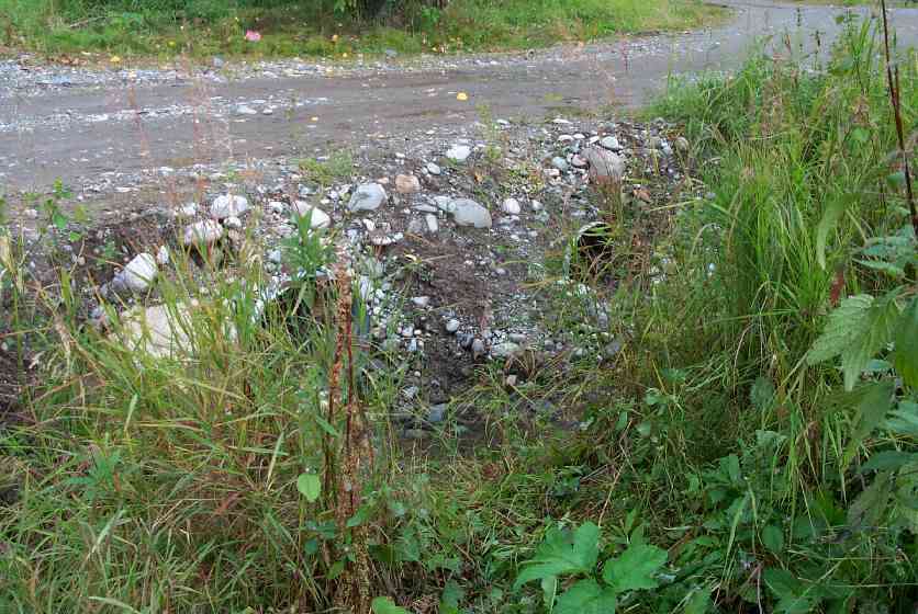
Photos


Questions or comments about this report can be directed to dfg.dsf.webmaster@alaska.gov