Fish Passage Site 20401329
Coordinates (dec. deg.): 61.61172°, -149.23756°
Legal Description: S018N001E35
Region: South Central
Road Name: Private Drive
Datum: NAD83
Quad Name / ITM: Anchorage C-6
AWC Stream #: 247-50-10260-2019-3066
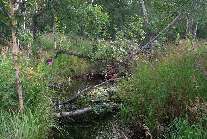
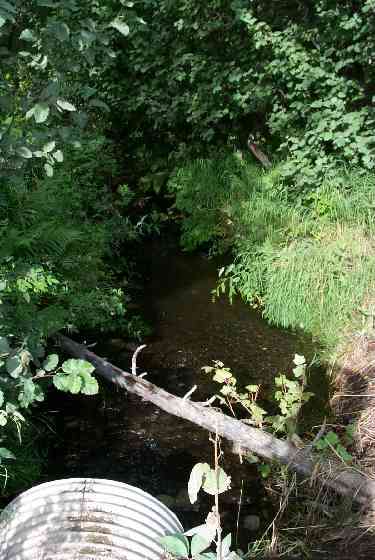
Stream Name: Wasilla Creek tributary
Elevation:
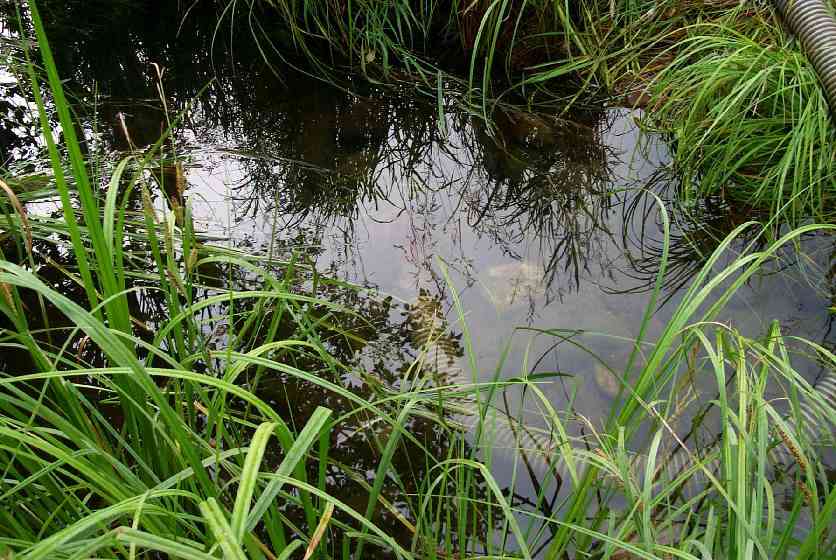
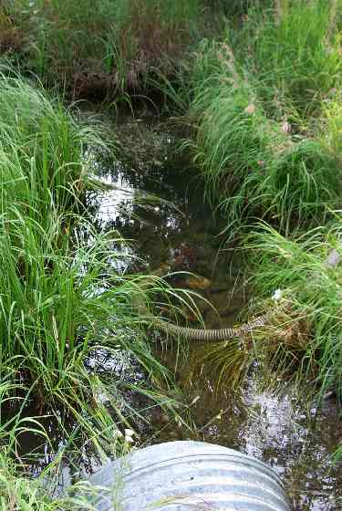
Site Comments: Small tributary drainage located on a private driveway to a gravel pit off of Colony School Drive.
arrow to the right of the survey date below to choose a different report for this site.
Survey MSCS1-WA021
Observers: Edward Weiss, Olof Jacobsson, Joe Conner
Overall Fish Passage Rating:
Tidal: No
Backwatered: No
Step Pools:
Construction Year:
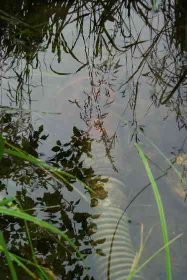
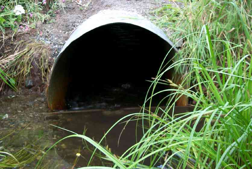
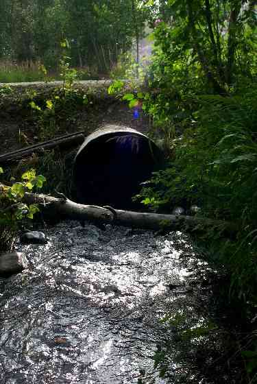
Comments: T16 violation at culvert inlet. Inlet blocked by 1.88 ft of wooden boards. Juvenile blockage indicated by fish above, small below. 0.4 ft open space. No Velocities due to inlet blockage (violation). Need to come back and reassess after work out a fix
Culvert Measurements
| ID: 1 | Structure Type: Circular pipe (Corrugated Metal) | Fish Passage Rating: | |||||||||||||||||||||||||||||||||||||||||
|
|
|
|||||||||||||||||||||||||||||||||||||||||
Stream Measurements
|
|
No stream width data available.
Elevations
| Locator ID | Culvert Number |
River Distance (ft)1 |
Distance From Crossing (ft)2 |
Relative Elevation (ft) |
|---|---|---|---|---|
| Outlet Culvert Top | 1 | 92.99 | ||
| Inlet Culvert Top | 1 | 93.61 | ||
| Outlet Invert | 1 | 0.00 | 0.0 | 90.10 |
| Outlet Thalweg | 1 | 0.00 | 0.0 | 90.22 |
| Road Elev | 19.00 | 94.62 | ||
| Road Elev | 19.00 | 94.76 | ||
| Inlet Culvert Invert | 1 | 38.00 | 0.0 | 90.31 |
| U/S Thalweg | 1 | 39.00 | 1.0 | 91.45 |
Notes:
- River distance is measured continuously throughout the survey reach along the thalweg of the stream.
- Measured from each end of the crossing along the thalweg of the stream.
Fish Sampling Efforts
| Gear Type: Minnow Trap (A) | Trap Duration(h): 1 | |
| Gear Type: Minnow Trap (B) | Trap Duration(h): 1 | |
Fish Observations
| Species: juvenile coho salmon | Life History: Anadromous | ||
| Total Fish Observed: 29 | Fish Measured: 14 | Fork Lengths (mm) Min: 48 Max: 112 Mean: 72 | |
| Collected/Observed by Gear Type: Downstream Minnow Trap (21) Upstream Minnow Trap (8) | |||
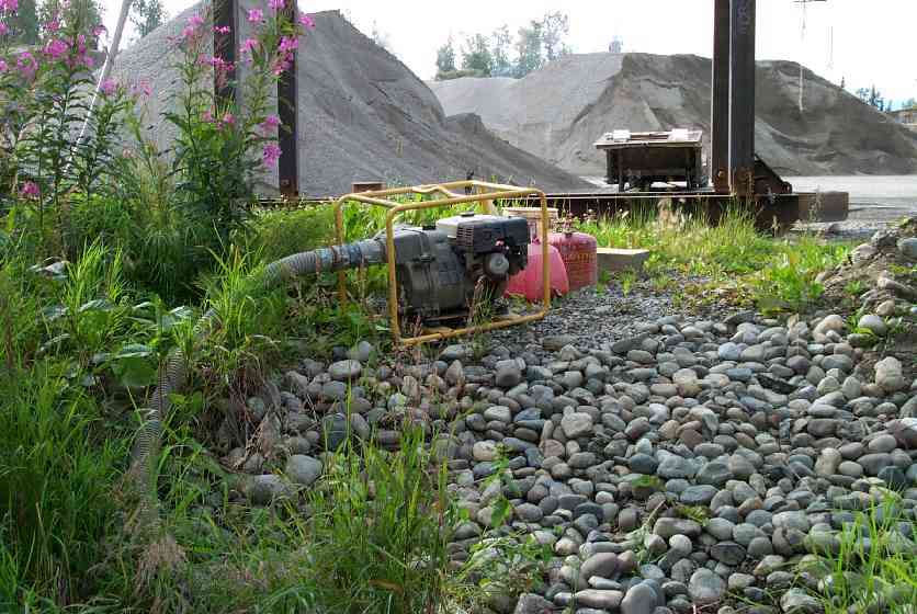
Photos
Questions or comments about this report can be directed to dfg.dsf.webmaster@alaska.gov