Fish Passage Site 20401328
Coordinates (dec. deg.): 61.61259°, -149.23594°
Legal Description: S018N001E35
Region: South Central
Road Name: Colony School Drive
Datum: NAD83
Quad Name / ITM: Anchorage C-6
AWC Stream #: 247-50-10260-2019-3066
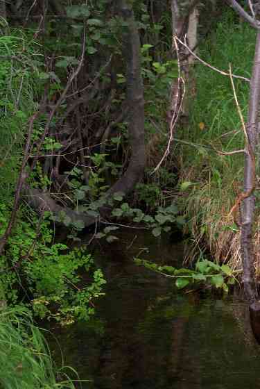
Stream Name: Walby Creek
Elevation:
Site Comments: None
Multiple surveys have been conducted at this site — click on the drop down
arrow to the right of the survey date below to choose a different report for this site.
arrow to the right of the survey date below to choose a different report for this site.
Survey MSCS1-WA020
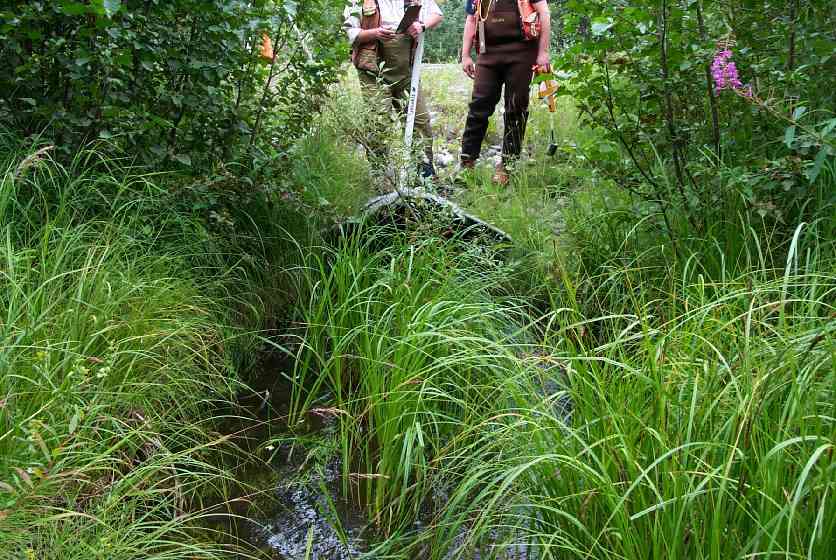
Observers: Edward Weiss, Olof Jacobsson, Joe Conner
Overall Fish Passage Rating:
Tidal: No
Backwatered: No
Step Pools:
Construction Year:
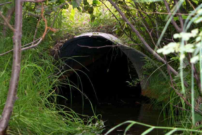
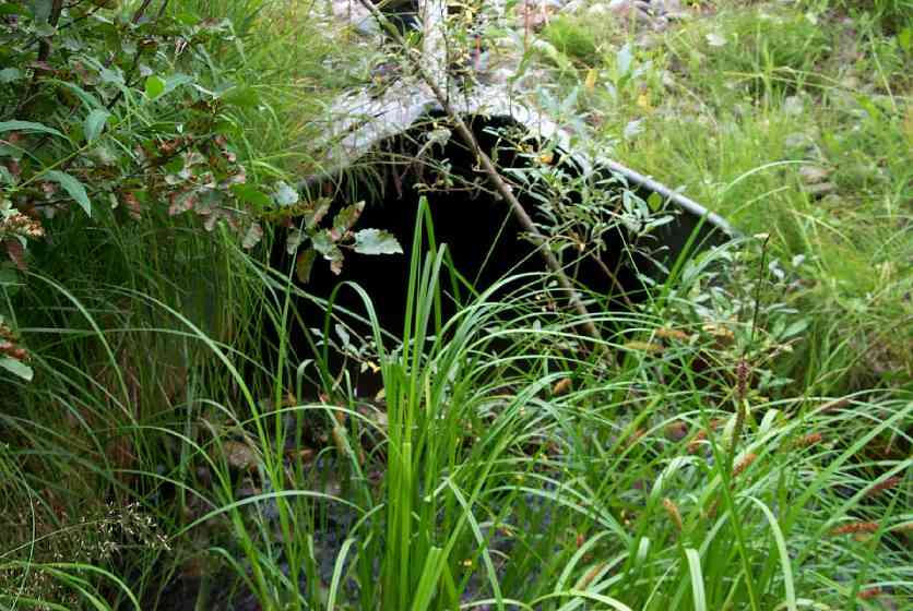
Comments: Cobbles placed in inlet and outlet flares.
Culvert Measurements
| ID: 1 | Structure Type: Circular pipe (Corrugated Metal) | Fish Passage Rating: | |||||||||||||||||||||||||||||||||||||||||
|
|
|
|||||||||||||||||||||||||||||||||||||||||
Culvert Observations:
|
|||||||||||||||||||||||||||||||||||||||||||
Stream Measurements
|
|
| Stream Width Type | Distance From Crossing (ft) |
Stream Width (ft) |
|---|---|---|
| Downstream ordinary high water | 48.0 | 5.00 |
| Downstream ordinary high water | 108.0 | 6.00 |
| Upstream ordinary high water | 50.0 | 6.00 |
| Upstream ordinary high water | 100.0 | 5.00 |
Elevations
| Locator ID | Culvert Number |
River Distance (ft)1 |
Distance From Crossing (ft)2 |
Relative Elevation (ft) |
|---|---|---|---|---|
| U/S Thalweg | 87.89 | |||
| U/S Thalweg | 87.92 | |||
| Outlet Culvert Top | 1 | 90.69 | ||
| Inlet Culvert Top | 1 | 91.27 | ||
| D/S Thalweg | 0.00 | 108.0 | 87.98 | |
| D/S Thalweg | 60.00 | 48.0 | 87.67 | |
| OHW Left Bank | 96.00 | 12.0 | 87.72 | |
| Outlet Invert | 1 | 108.00 | 0.0 | 88.01 |
| Outlet Thalweg | 1 | 108.00 | 0.0 | 88.29 |
| Road Elev | 148.50 | 94.36 | ||
| Road Elev | 148.50 | 94.42 | ||
| Inlet Culvert Invert | 1 | 189.00 | 0.0 | 88.63 |
Notes:
- River distance is measured continuously throughout the survey reach along the thalweg of the stream.
- Measured from each end of the crossing along the thalweg of the stream.
Fish Sampling Efforts
| Gear Type: Minnow Trap (A) | Trap Duration(h): 0 | |
| Comments: Trap disturbed by crew - trap set a second time - see second record | ||
| Gear Type: Minnow Trap (B) | Trap Duration(h): 0 | |
| Comments: Set 50' upstream - crushed by work crew - short set | ||
Fish Observations
| Species: juvenile coho salmon | Life History: Anadromous | ||
| Total Fish Observed: 9 | Fish Measured: 6 | Fork Lengths (mm) Min: 65 Max: 73 Mean: 69 | |
| Collected/Observed by Gear Type: Upstream Minnow Trap (9) | |||
| Species: no fish collected or observed | Life History: Not Applicable | ||
| Total Fish Observed: 0 | Fish Measured: | Fork Lengths (mm) Min: Max: Mean: | |
| Collected/Observed by Gear Type: Downstream Minnow Trap (0) Upstream Minnow Trap (0) | |||
| Comments: Set 50' upstream - crushed by work crew - short set | |||
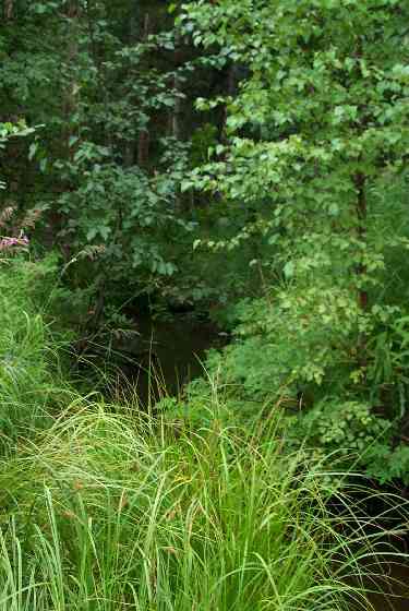
Photos
Questions or comments about this report can be directed to dfg.dsf.webmaster@alaska.gov