Fish Passage Site 20401315
Coordinates (dec. deg.): 61.54827°, -149.22928°
Legal Description: S017N001E23
Region: South Central
Road Name: Old Matanuska Road
Datum: NAD83
Quad Name / ITM: Anchorage C-6
AWC Stream #: 247-50-10260-2019-3020
Stream Name: Spring Creek
Elevation:
Site Comments: None
arrow to the right of the survey date below to choose a different report for this site.
Survey MSCS1-SP014
Observers: Edward Weiss, Olof Jacobsson, Joe Conner
Overall Fish Passage Rating:
Tidal: No
Backwatered: No
Step Pools:
Construction Year:
Comments: There is a newer survey available for this site.
Culvert Measurements
| ID: 1 | Structure Type: Circular pipe (Corrugated Metal) | Fish Passage Rating: | |||||||||||||||||||||||||||||||||||||||||
|
|
|
|||||||||||||||||||||||||||||||||||||||||
Culvert Observations:
|
|||||||||||||||||||||||||||||||||||||||||||
Stream Measurements
|
|
No stream width data available.
Elevations
| Locator ID | Culvert Number |
River Distance (ft)1 |
Distance From Crossing (ft)2 |
Relative Elevation (ft) |
|---|---|---|---|---|
| Inlet Culvert Top | 1 | 94.13 | ||
| Outlet Culvert Top | 1 | 94.19 | ||
| D/S Thalweg | 89.98 | |||
| D/S Thalweg | 90.11 | |||
| D/S Tailcrest or 1st Thalweg | 0.00 | 39.0 | 91.26 | |
| D/S Thalweg | 19.00 | 20.0 | 90.73 | |
| OHW Left Bank | 24.00 | 15.0 | 90.78 | |
| Outlet Invert | 1 | 39.00 | 0.0 | 90.96 |
| Outlet Thalweg | 1 | 39.00 | 0.0 | 90.70 |
| Road Elev | 49.00 | 94.24 | ||
| Road Elev | 49.00 | 94.30 | ||
| Inlet Culvert Invert | 1 | 59.00 | 0.0 | 91.08 |
| Inlet Thalweg | 1 | 59.00 | 0.0 | 91.08 |
Notes:
- River distance is measured continuously throughout the survey reach along the thalweg of the stream.
- Measured from each end of the crossing along the thalweg of the stream.
Fish Sampling Efforts
No fish sampling occurred during this survey.
Fish Observations
No fish observations occurred during this survey.
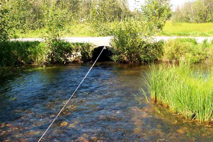
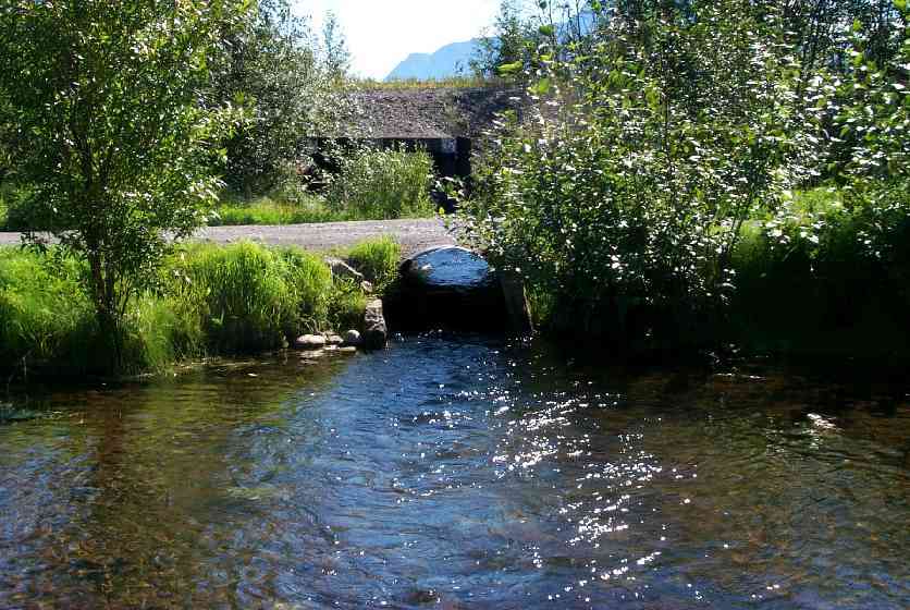
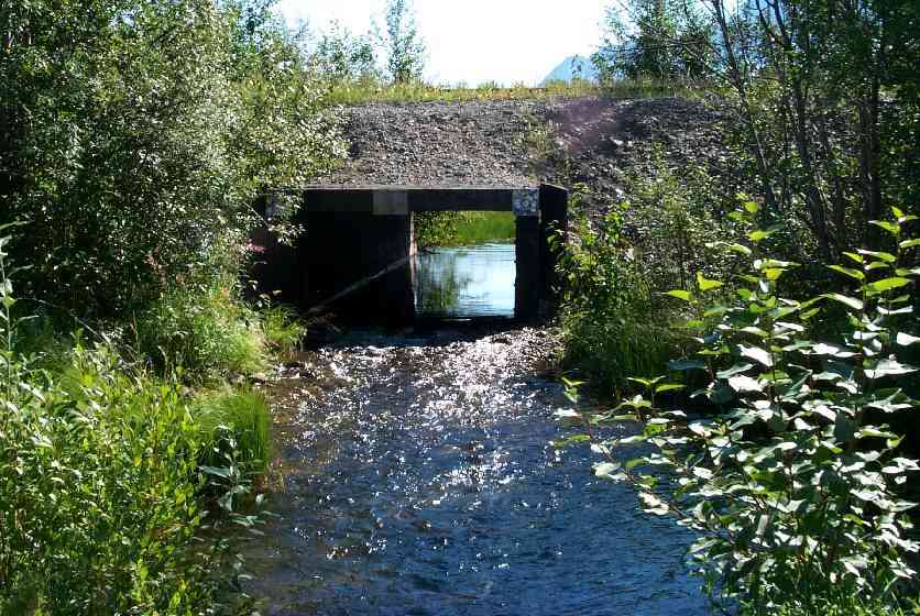
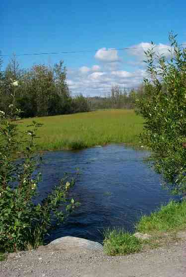
Photos
Questions or comments about this report can be directed to dfg.dsf.webmaster@alaska.gov