Fish Passage Site 20401312
Coordinates (dec. deg.): 61.53579°, -149.25305°
Legal Description: S017N001E27
Region: South Central
Road Name: Glenn Highway
Datum: NAD83
Quad Name / ITM: Anchorage C-7
AWC Stream #: 247-50-10260
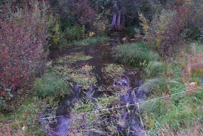
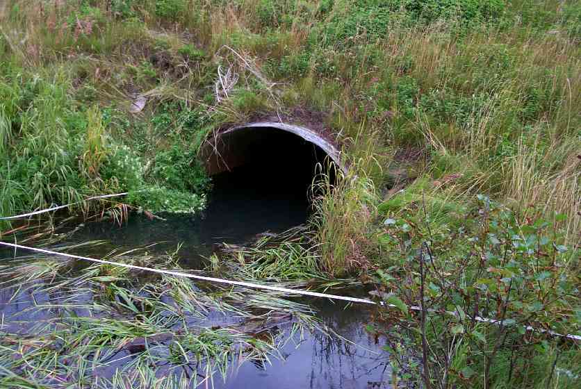
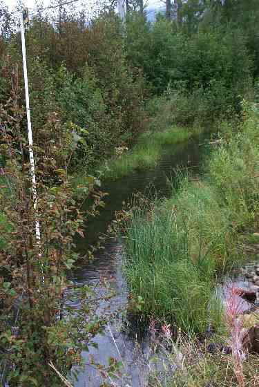
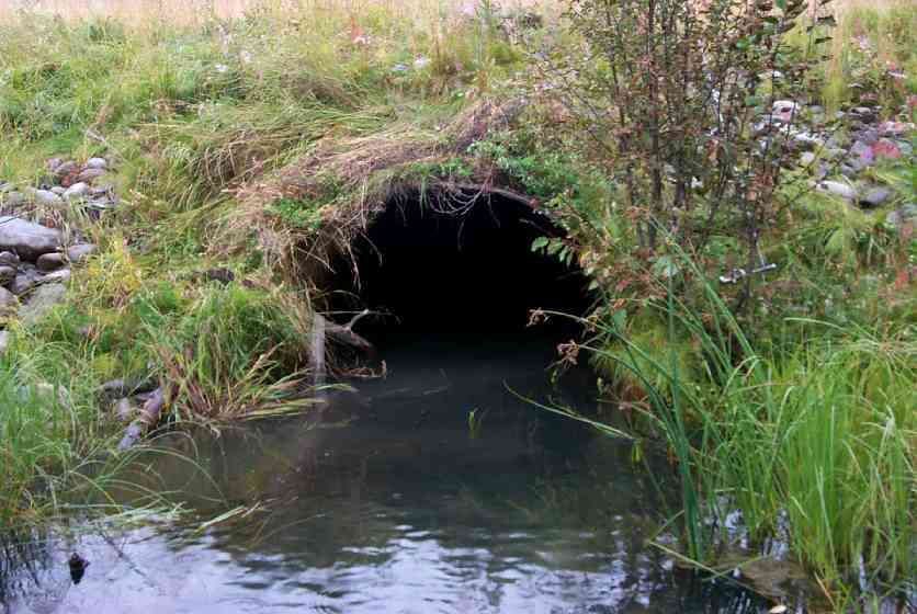
Stream Name: Rabbit Slough
Elevation:
Site Comments: culvert is located on the Glenn Highway south of the Parks/Glenn interchange.
arrow to the right of the survey date below to choose a different report for this site.
Survey MSCS1-RS066
Observers: Edward Weiss, Olof Jacobsson, Joe Conner
Overall Fish Passage Rating:
Tidal: No
Backwatered: No
Step Pools:
Construction Year:
Comments: Spec Site Cond=OTH=constructed channel upstrm & 50' dwnstrm
Culvert Measurements
| ID: 1 | Structure Type: Closed-bottom arch (Strutural Metal Plate) | Fish Passage Rating: | |||||||||||||||||||||||||||||||||||||||||
|
|
|
|||||||||||||||||||||||||||||||||||||||||
Culvert Observations:
|
|||||||||||||||||||||||||||||||||||||||||||
Stream Measurements
|
|
| Stream Width Type | Distance From Crossing (ft) |
Stream Width (ft) |
|---|---|---|
| Downstream ordinary high water | 37.0 | 50.00 |
| Downstream ordinary high water | 41.0 | 110.00 |
| Upstream ordinary high water | 45.0 | 21.00 |
| Upstream ordinary high water | 95.0 | 22.00 |
Elevations
| Locator ID | Culvert Number |
River Distance (ft)1 |
Distance From Crossing (ft)2 |
Relative Elevation (ft) |
|---|---|---|---|---|
| Inlet Culvert Invert | 1 | 0.0 | 83.62 | |
| Inlet Thalweg | 1 | 0.0 | 84.43 | |
| Outlet Invert | 1 | 0.0 | 84.63 | |
| U/S Thalweg | 95.0 | 84.67 | ||
| D/S Thalweg | 110.0 | 84.70 | ||
| U/S Thalweg | 1 | 0.5 | 84.90 | |
| Outlet Thalweg | 1 | 0.0 | 84.91 | |
| D/S Thalweg | 84.93 | |||
| U/S Thalweg | 45.0 | 84.95 | ||
| OHW Left Bank | 3.0 | 85.29 | ||
| Outlet Culvert Top | 1 | 89.60 | ||
| Inlet Culvert Top | 1 | 90.44 | ||
| Road Elev | 95.65 | |||
| Road Elev | 95.89 |
Notes:
- River distance is measured continuously throughout the survey reach along the thalweg of the stream.
- Measured from each end of the crossing along the thalweg of the stream.
Fish Sampling Efforts
No fish sampling occurred during this survey.
Fish Observations
No fish observations occurred during this survey.
Photos
Questions or comments about this report can be directed to dfg.dsf.webmaster@alaska.gov