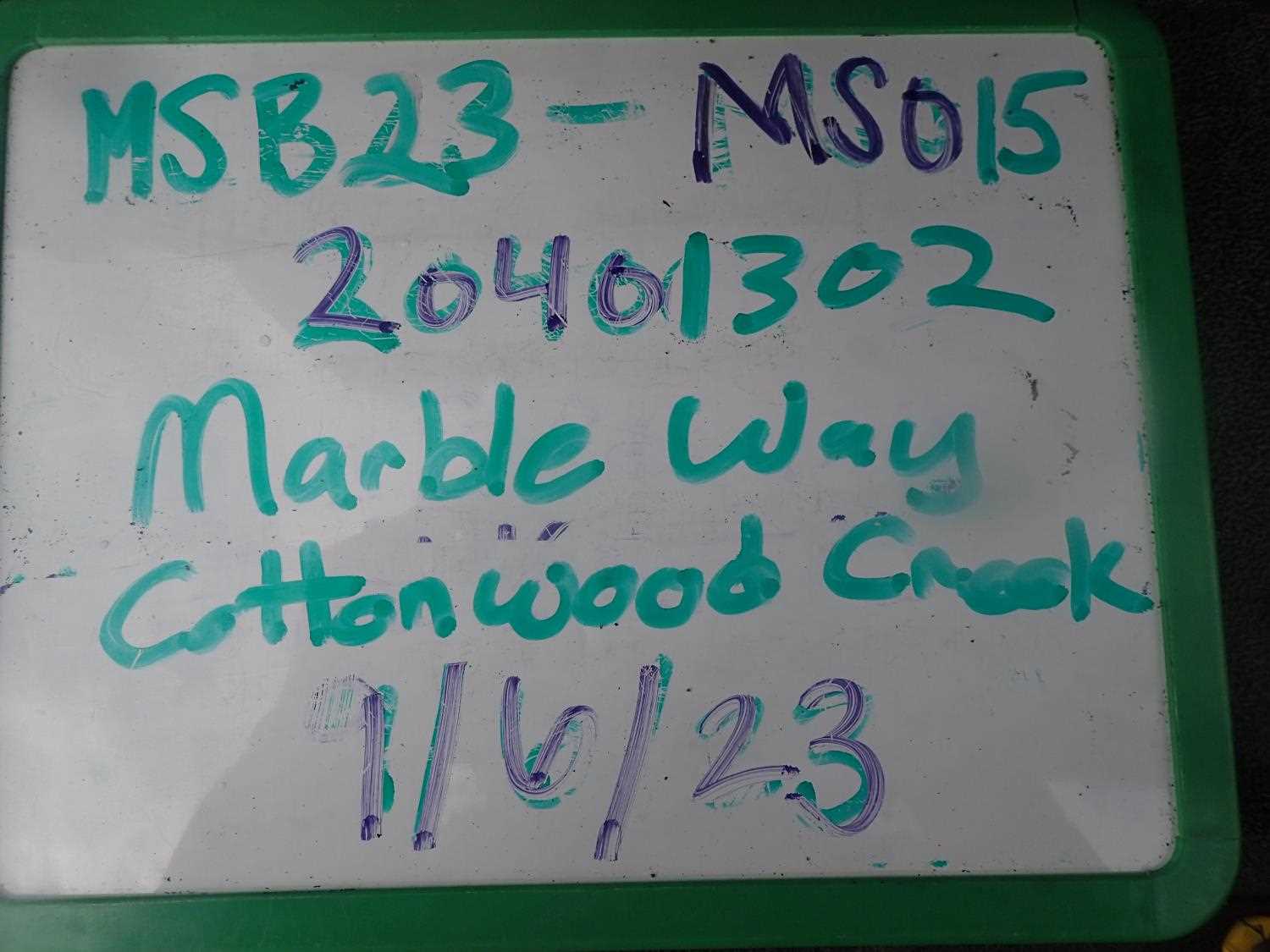
Fish Passage Site 20401302
Coordinates (dec. deg.): 61.54164°, -149.52385°
Legal Description: S017N001W30
Region: South Central
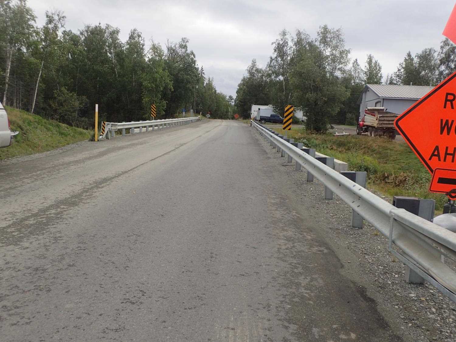
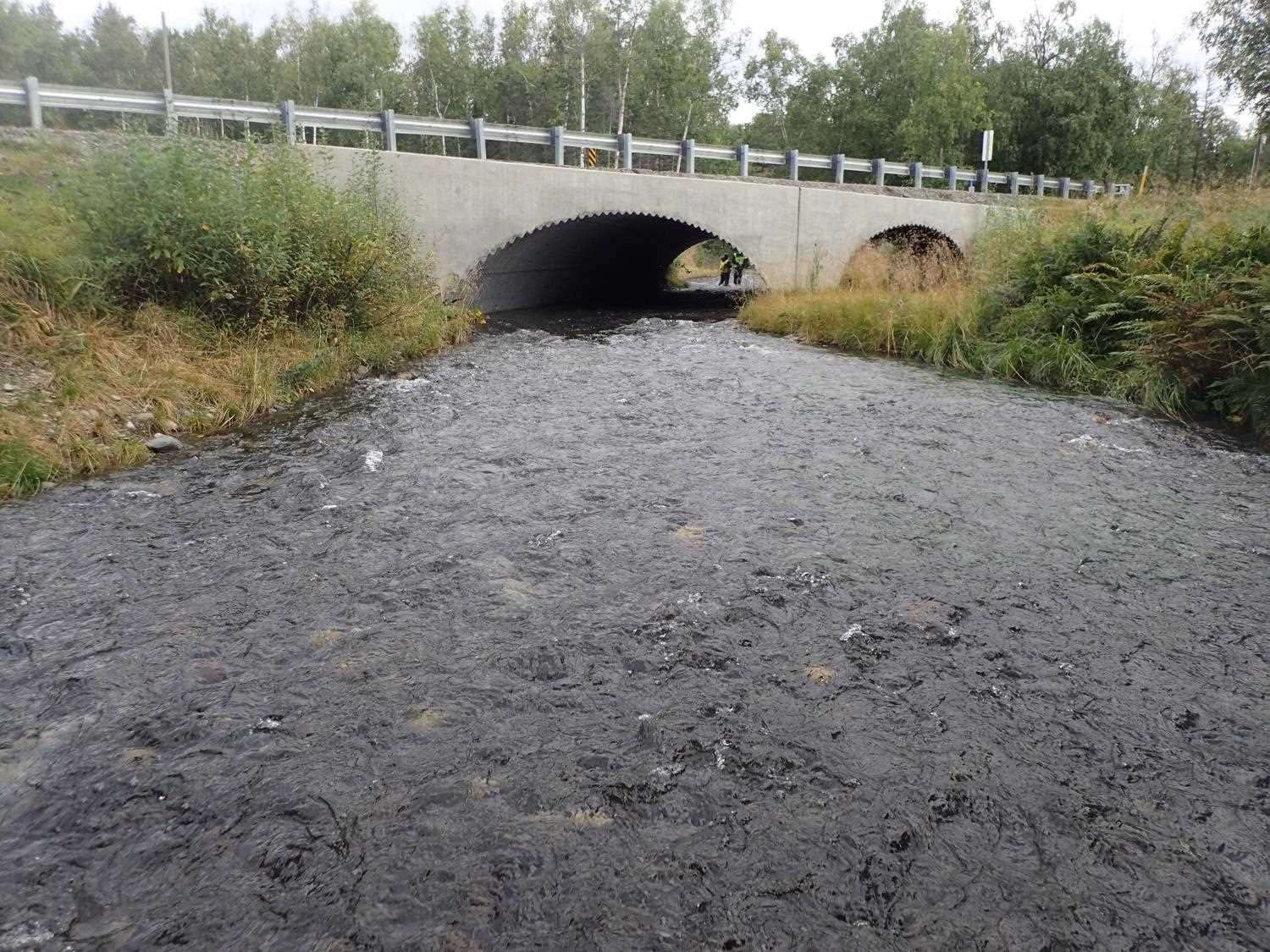
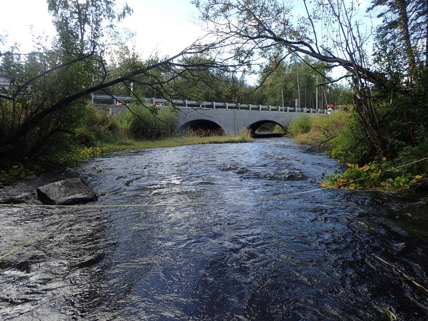
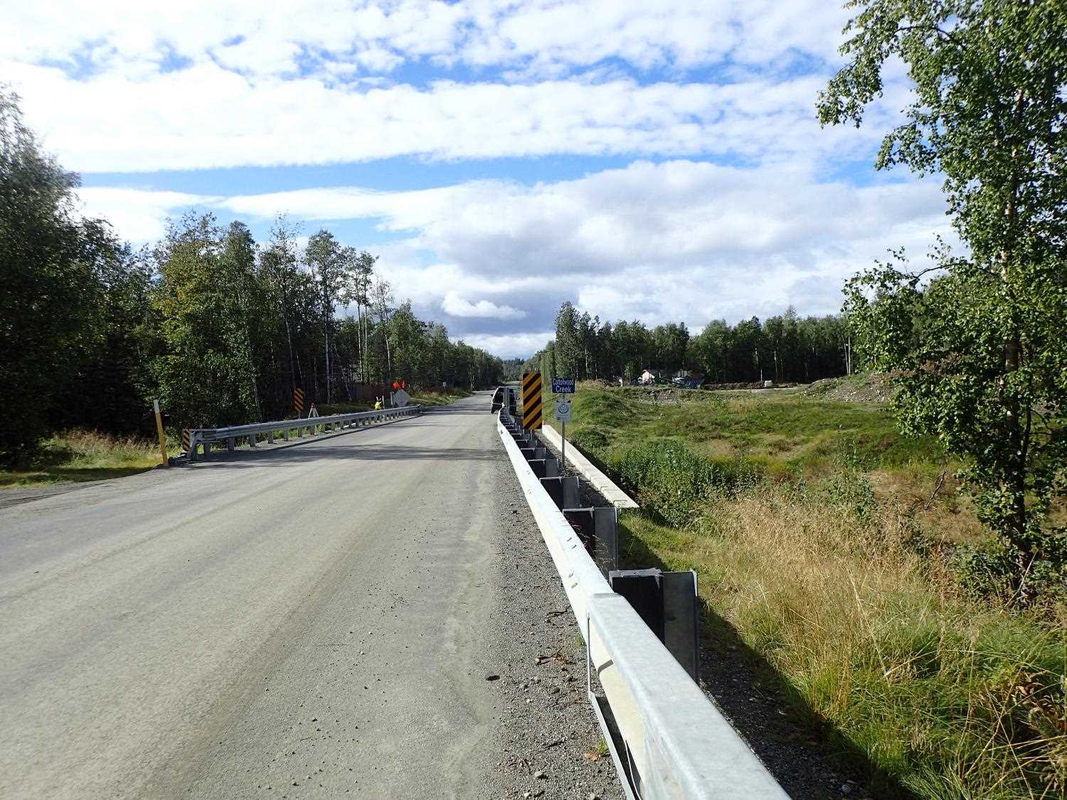
Road Name: Marble Way
Datum: NAD83
Quad Name / ITM: Anchorage C-7
AWC Stream #: 247-50-10300
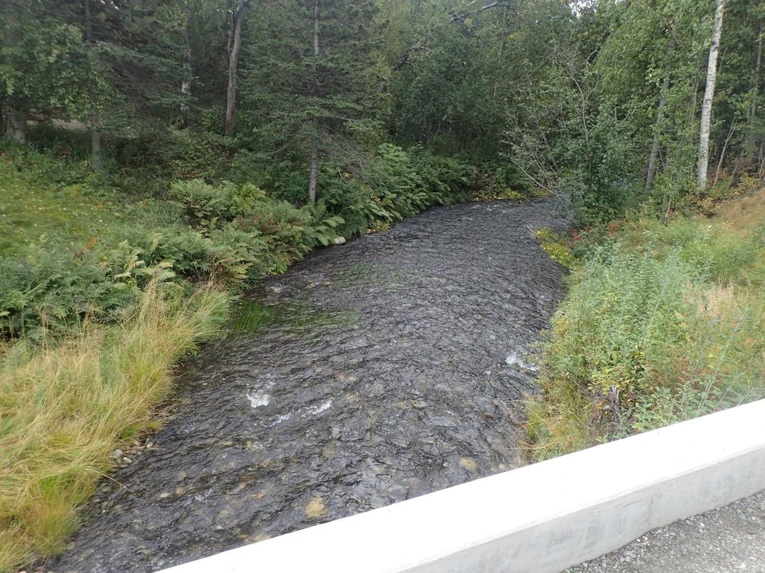
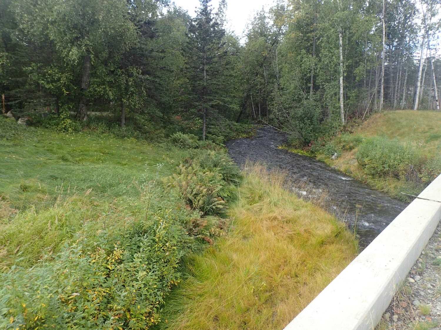
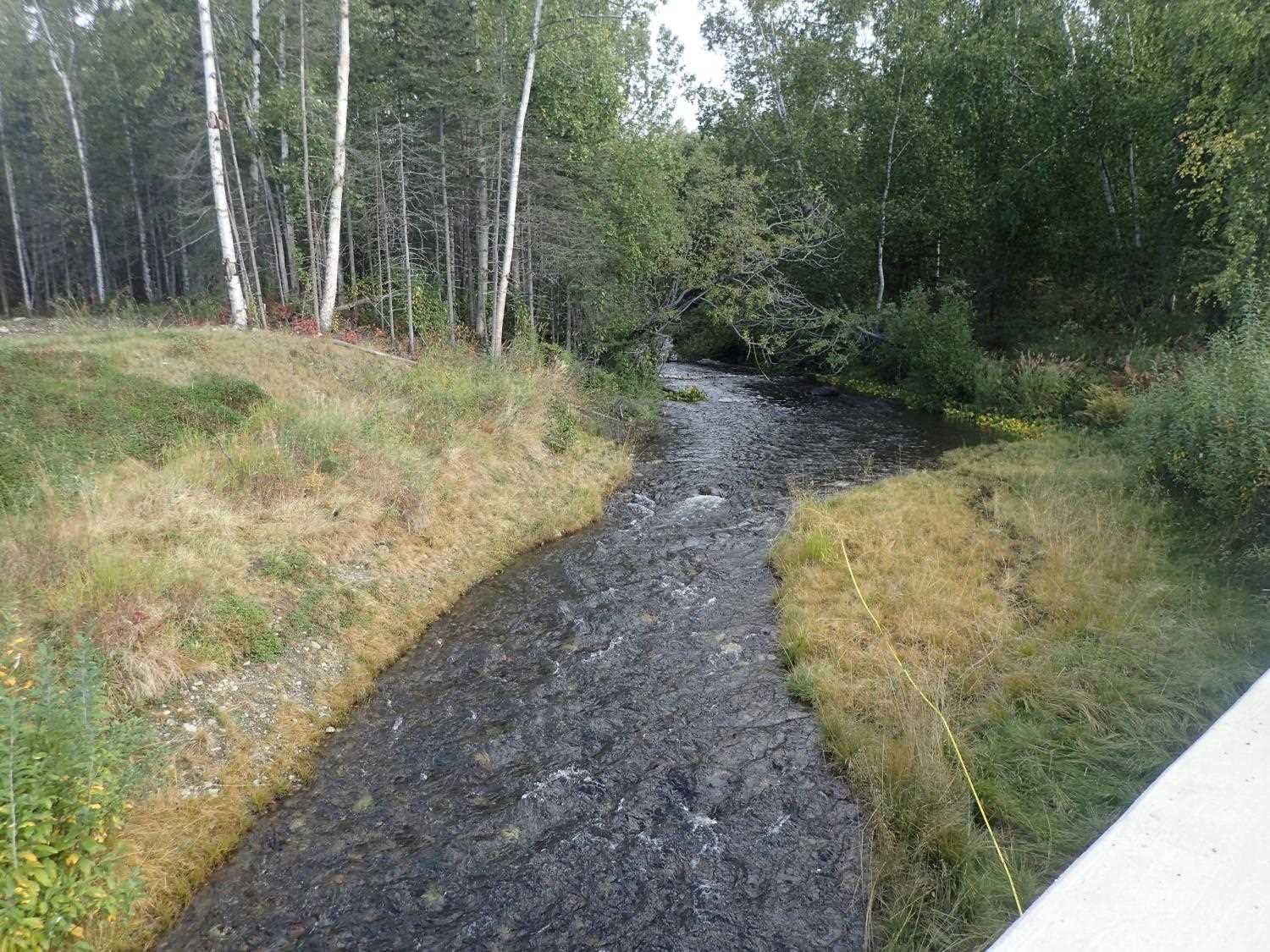
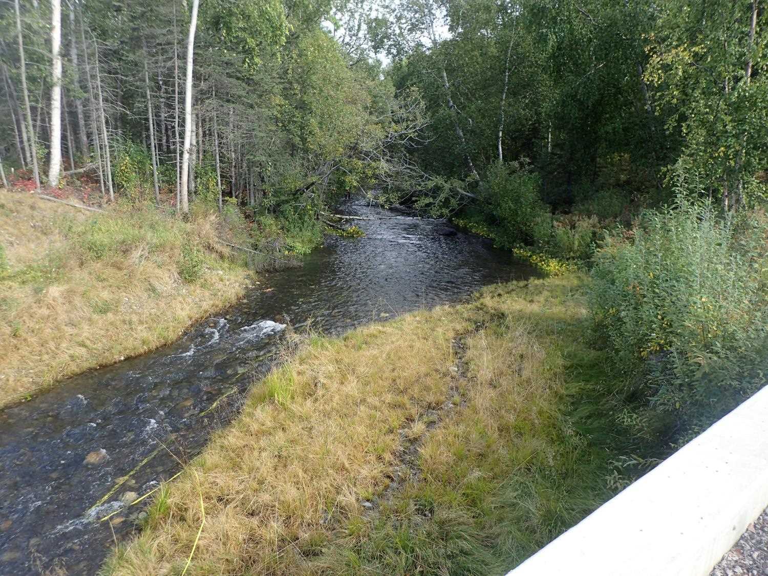
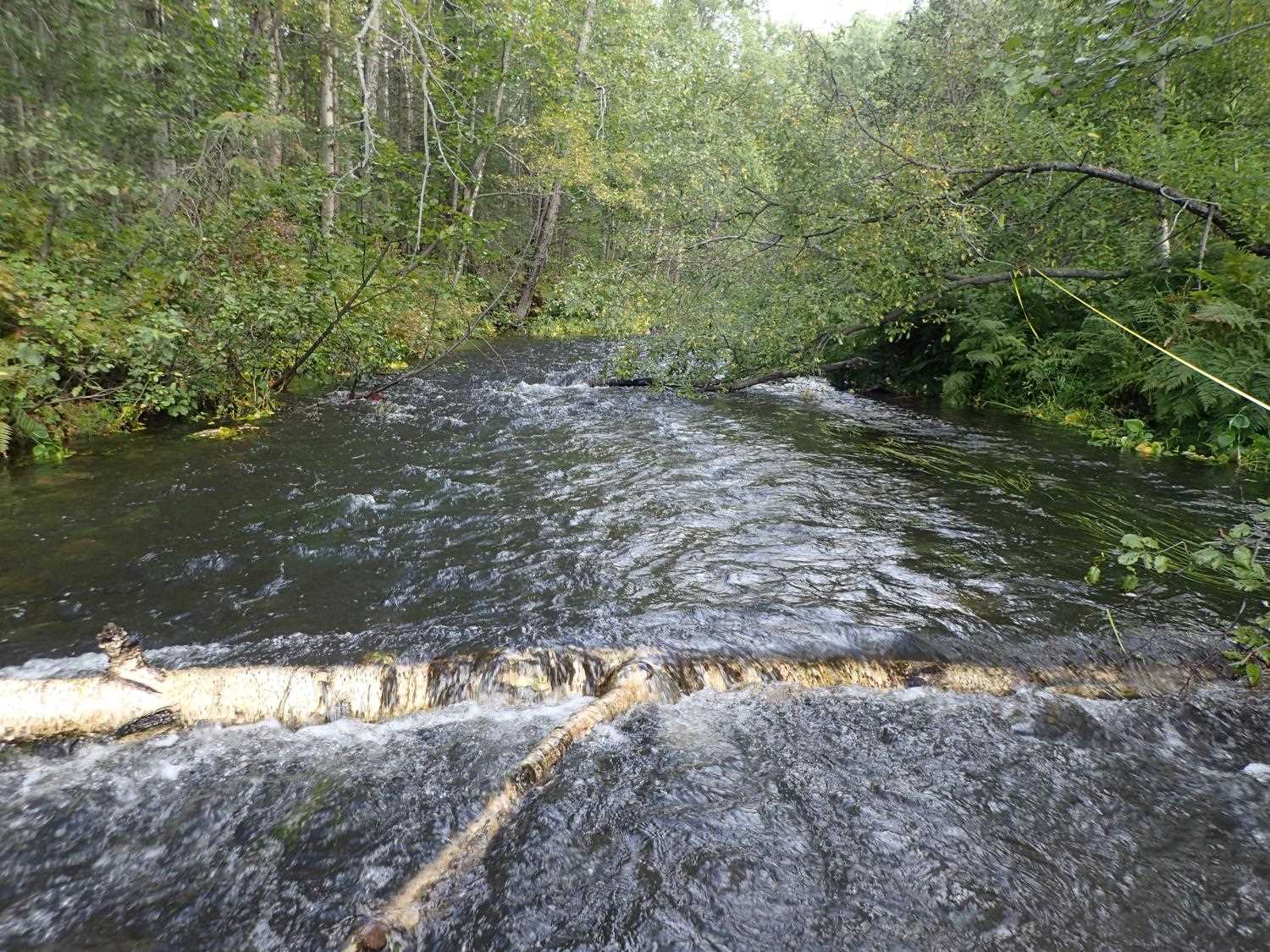
Stream Name: Cottonwood Creek
Elevation:
Site Comments: Borough Road
arrow to the right of the survey date below to choose a different report for this site.
Survey MSB23-MS015
Project Supervisor: Michael Mazzacavallo, Alaska Department of Fish and Game
— Anchorage, AK
Observers: Michael Mazzacavallo, Beth Evers, Kat Leavitt
Overall Fish Passage Rating:
Tidal: No
Backwatered: No
Step Pools: No
Construction Year: 2020
Site Observations:
- None of this type
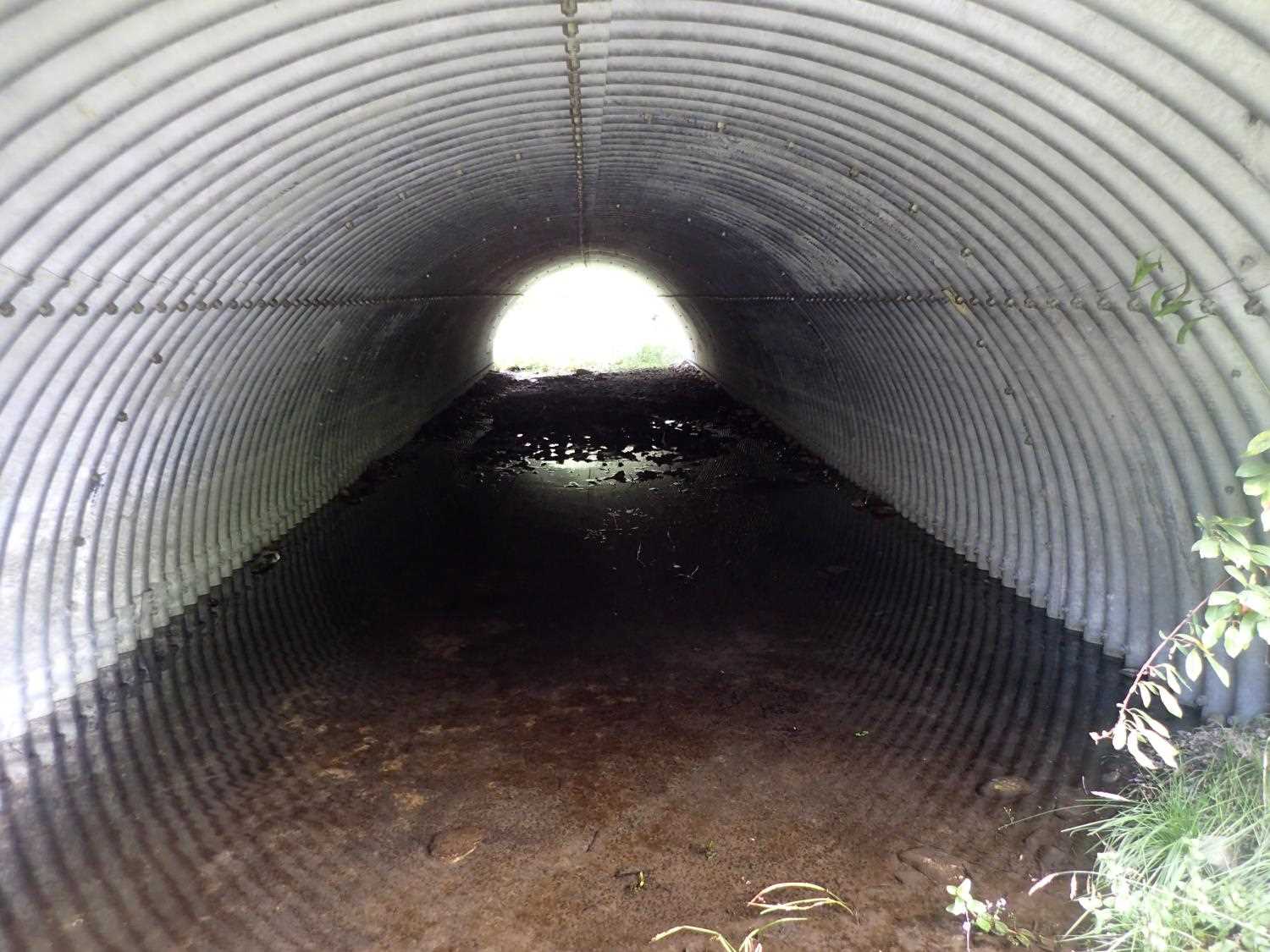
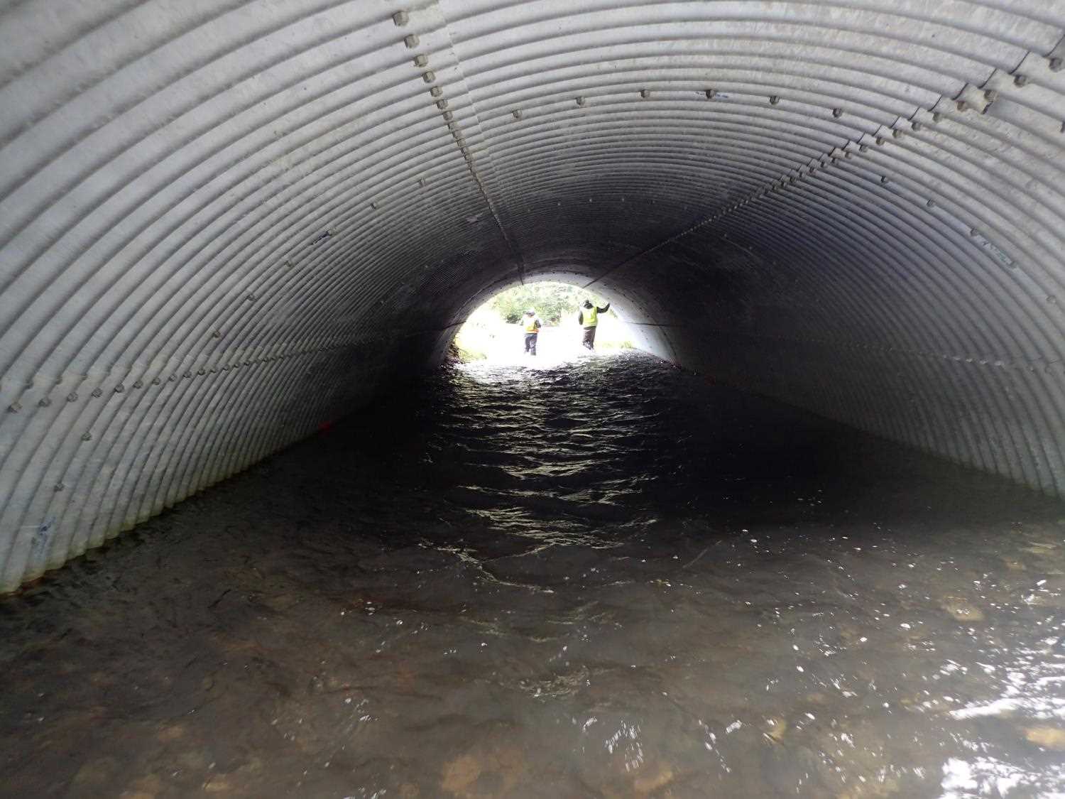
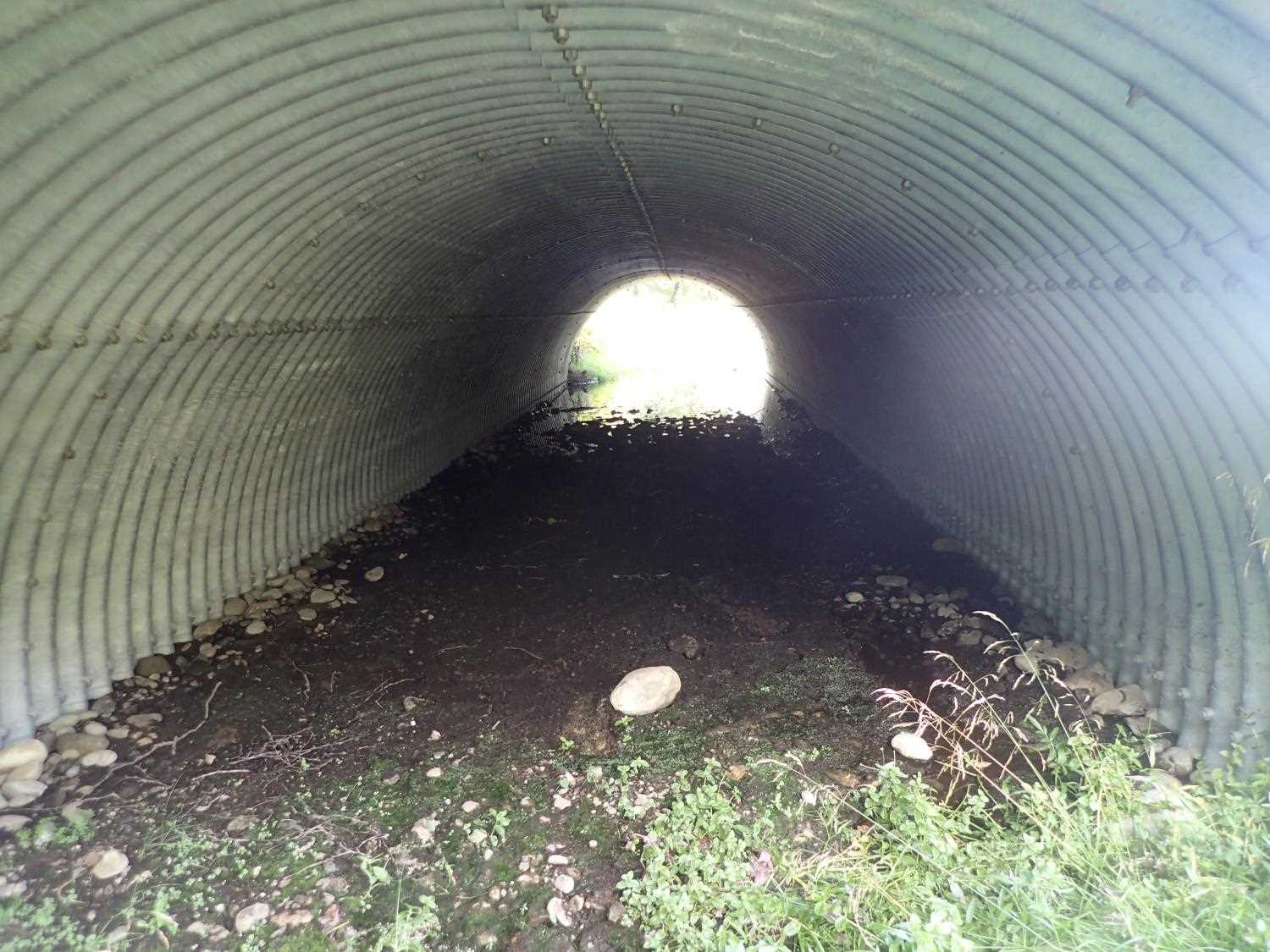
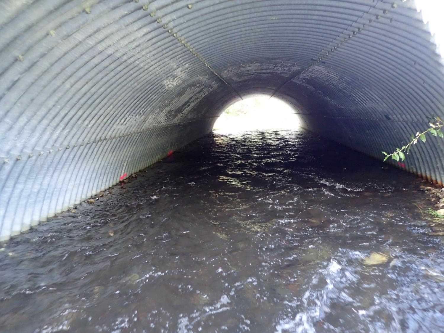
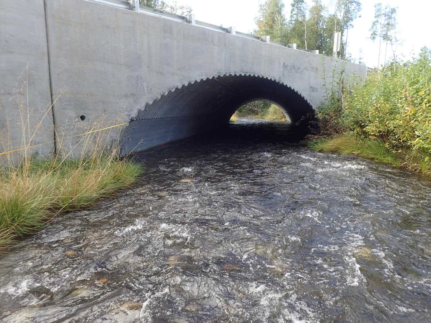
Comments: Pipe #1 is an overflow pipe. Culvert #2 is the primary cuvlert.
Culvert Measurements
| ID: 1 | Structure Type: Pipe-arch (Structural steel plate) | Fish Passage Rating: | ||||||||||||||||||||||||||||||||||||||||||
|
|
|
||||||||||||||||||||||||||||||||||||||||||
Culvert Observations:
|
||||||||||||||||||||||||||||||||||||||||||||
| ID: 2 | Structure Type: Pipe-arch (Structural steel plate) | Fish Passage Rating: | ||||||||||||||||||||||||||||||||||||||||||
|
|
|
||||||||||||||||||||||||||||||||||||||||||
Comments: The cross section width for cuvlert #1 is 12.17 ft and 17.42 ft for culvert #2. Because the inlets and outlets of the culvert are diagonally mitered, the functional widths are greater than the structual widths. 1 Adult sockeye observed downstream of culvert. |
||||||||||||||||||||||||||||||||||||||||||||
Culvert Observations:
|
||||||||||||||||||||||||||||||||||||||||||||
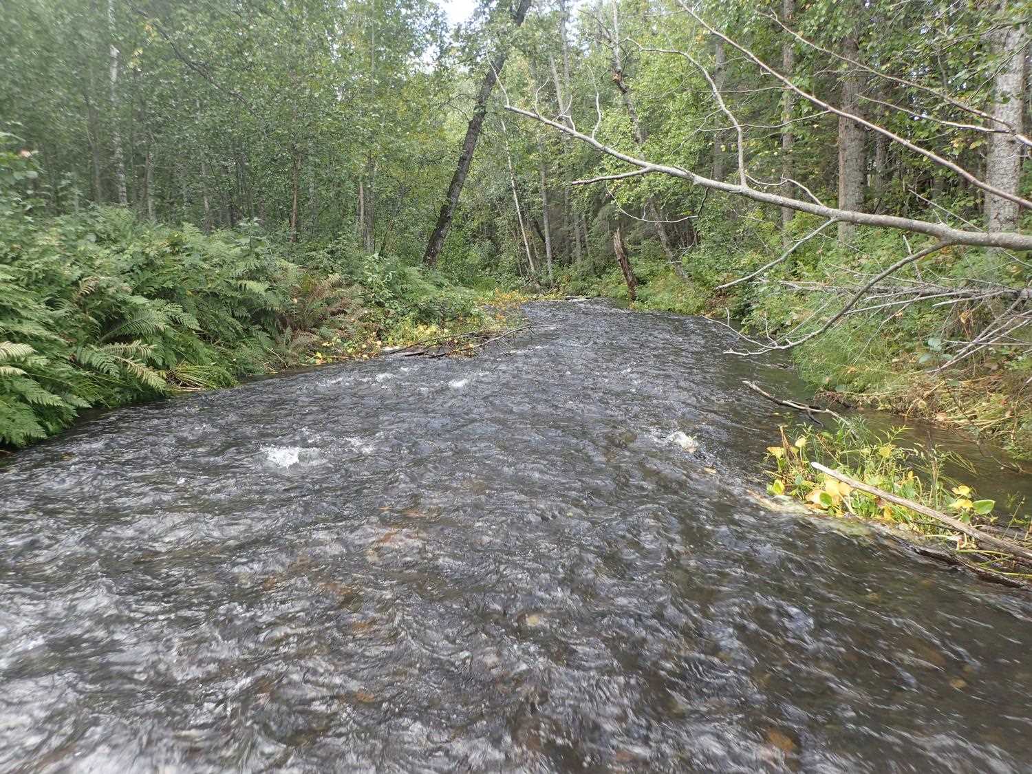
Stream Measurements
|
|
| Stream Width Type | Distance From Crossing (ft) |
Stream Width (ft) |
|---|---|---|
| Upstream ordinary high water | 100.0 | 35.60 |
| Upstream ordinary high water | 138.0 | 44.70 |
| Upstream ordinary high water | 170.0 | 28.00 |
Elevations
| Locator ID | Culvert Number |
River Distance (ft)1 |
Distance From Crossing (ft)2 |
Relative Elevation (ft) |
|---|---|---|---|---|
| D/S Thalweg | 0.00 | 86.87 | ||
| D/S Water Surface Elev | 0.00 | 88.68 | ||
| D/S Water Surface Elev | 17.00 | 88.81 | ||
| D/S Thalweg | 17.00 | 86.57 | ||
| Outlet Invert (outlet #2) | 185.00 | 90.14 | ||
| Outlet Invert (outlet #1) | 185.00 | 91.15 | ||
| Outlet Pool Water Elev (outlet #1) | 185.00 | 91.40 | ||
| Outlet Pool Water Elev (outlet #2) | 185.00 | 91.44 | ||
| Outlet Culvert Top (outlet #2) | 185.00 | 97.69 | ||
| Outlet Culvert Top (outlet #1) | 185.00 | 98.01 | ||
| Inlet Culvert Top (inlet #2) | 252.73 | 98.50 | ||
| Inlet Culvert Invert (inlet #2) | 252.73 | 91.53 | ||
| U/S Water Surface Elev (inlet #2 WS) | 252.73 | 91.94 | ||
| Inlet Culvert Invert (inlet #1) | 253.10 | 91.87 | ||
| Inlet Culvert Top (inlet #1) | 253.10 | 98.73 | ||
| U/S Thalweg | 294.73 | 91.99 | ||
| U/S Water Surface Elev | 294.73 | 92.83 | ||
| U/S Water Surface Elev | 310.73 | 93.05 | ||
| U/S Thalweg | 310.73 | 92.13 | ||
| U/S Water Surface Elev | 338.73 | 93.14 | ||
| U/S Thalweg | 338.73 | 92.39 | ||
| U/S Water Surface Elev | 361.73 | 92.31 | ||
| U/S Thalweg | 361.73 | 92.35 |
Notes:
- River distance is measured continuously throughout the survey reach along the thalweg of the stream.
- Measured from each end of the crossing along the thalweg of the stream.
Fish Sampling Efforts
No fish sampling occurred during this survey.
Fish Observations
No fish observations occurred during this survey.
Photos
Questions or comments about this report can be directed to dfg.dsf.webmaster@alaska.gov