Fish Passage Site 20401299
Coordinates (dec. deg.): 61.45491°, -149.80899°
Legal Description: S016N003W28
Region: South Central
Road Name: Lucy Lake Road
Datum: NAD83
Quad Name / ITM: Anchorage B-8
AWC Stream #: 247-50-10300-2001
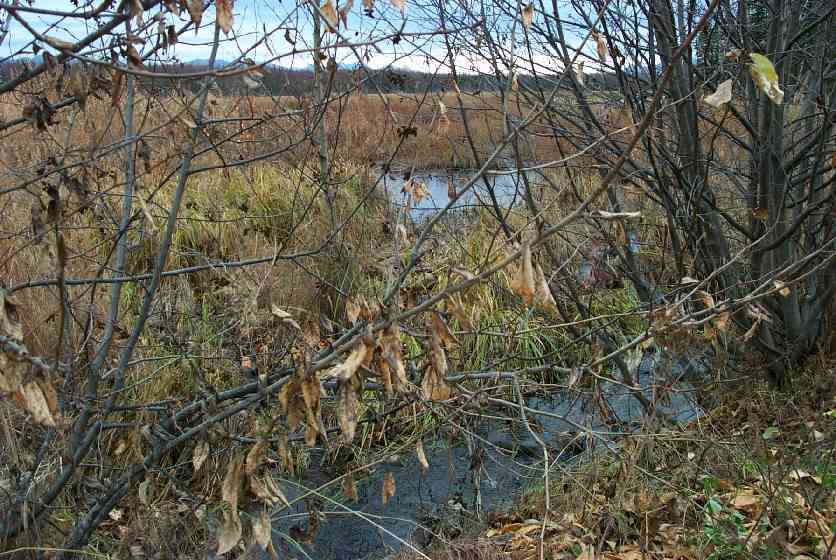
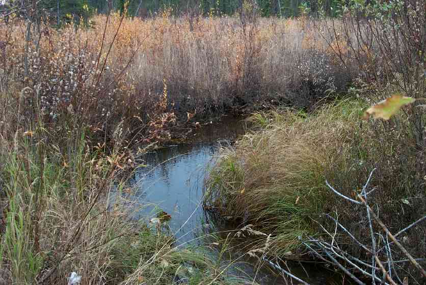
Stream Name: Lucy Creek Tributary
Elevation:
Site Comments: Bruno Wiida's drive (visited with Bruno)
arrow to the right of the survey date below to choose a different report for this site.
Survey MSCS1-CT150
Observers: Edward Weiss, Doug Hill
Overall Fish Passage Rating:
Tidal: No
Backwatered: No
Step Pools:
Construction Year:
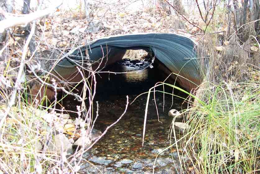
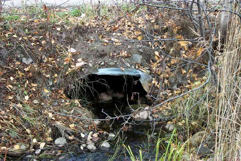
Comments: Multiple dents & squashes; not sure if designed squash pipe, round squashed purposely or inadvertent squash
Culvert Measurements
| ID: 1 | Structure Type: Circular pipe (Corrugated Metal) | Fish Passage Rating: | |||||||||||||||||||||||||||||||||||||||||
|
|
|
|||||||||||||||||||||||||||||||||||||||||
Culvert Observations:
|
|||||||||||||||||||||||||||||||||||||||||||
Stream Measurements
|
|
| Stream Width Type | Distance From Crossing (ft) |
Stream Width (ft) |
|---|---|---|
| Downstream ordinary high water | 50.0 | 12.00 |
| Downstream ordinary high water | 100.0 | 7.00 |
Elevations
| Locator ID | Culvert Number |
River Distance (ft)1 |
Distance From Crossing (ft)2 |
Relative Elevation (ft) |
|---|---|---|---|---|
| Inlet Culvert Top | 1 | 94.97 | ||
| Outlet Culvert Top | 1 | 95.22 | ||
| D/S Thalweg | 0.00 | 100.0 | 87.18 | |
| D/S Thalweg | 50.00 | 50.0 | 91.36 | |
| D/S Tailcrest or 1st Thalweg | 94.00 | 6.0 | 92.19 | |
| Max Pool Depth | 97.00 | 3.0 | 92.23 | |
| Outlet Invert | 1 | 100.00 | 0.0 | 92.03 |
| Outlet Thalweg | 1 | 100.00 | 0.0 | 92.03 |
| Road Elev | 121.00 | 96.16 | ||
| Road Elev | 121.00 | 96.35 | ||
| Inlet Culvert Invert | 1 | 142.00 | 0.0 | 92.57 |
| Inlet Thalweg | 1 | 142.00 | 0.0 | 92.57 |
| U/S Thalweg | 1 | 142.50 | 0.5 | 92.61 |
| U/S Thalweg | 1 | 149.50 | 7.5 | 92.75 |
Notes:
- River distance is measured continuously throughout the survey reach along the thalweg of the stream.
- Measured from each end of the crossing along the thalweg of the stream.
Fish Sampling Efforts
| Gear Type: Minnow Trap (A) | Trap Duration(h): 2 | |
| Gear Type: Minnow Trap (B) | Trap Duration(h): 2 | |
Fish Observations
| Species: juvenile rainbow trout | Life History: Resident | ||
| Total Fish Observed: 2 | Fish Measured: 1 | Fork Lengths (mm) Min: 87 Max: 87 Mean: 87 | |
| Collected/Observed by Gear Type: Upstream Minnow Trap (2) | |||
| Species: no fish collected or observed | Life History: Not Applicable | ||
| Total Fish Observed: 0 | Fish Measured: | Fork Lengths (mm) Min: Max: Mean: | |
| Collected/Observed by Gear Type: Downstream Minnow Trap (0) Upstream Minnow Trap (0) | |||
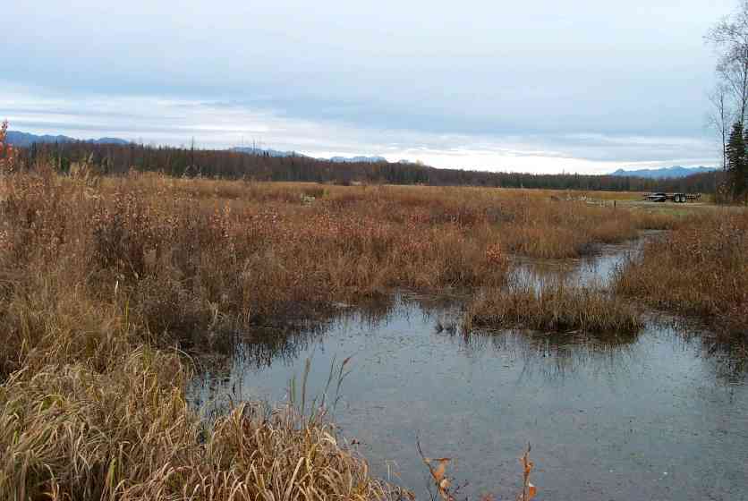
Photos
Questions or comments about this report can be directed to dfg.dsf.webmaster@alaska.gov